Fish Passage Site 20501047
Coordinates (dec. deg.): 61.64993°, -149.56450°
Legal Description: S018N002W13
Region: South Central
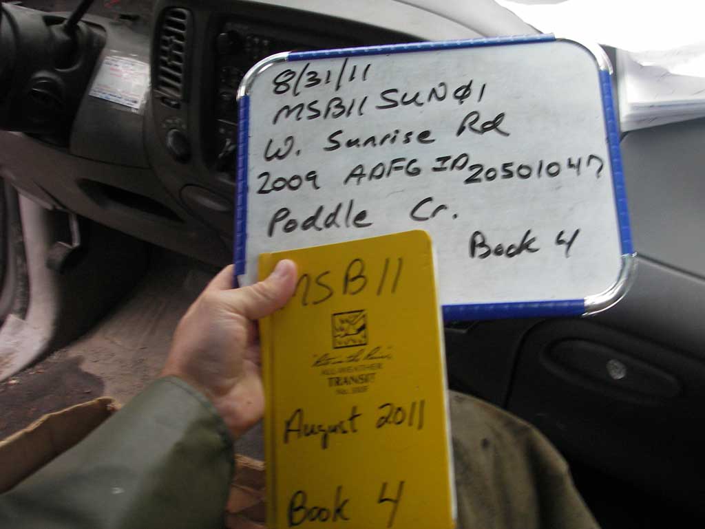
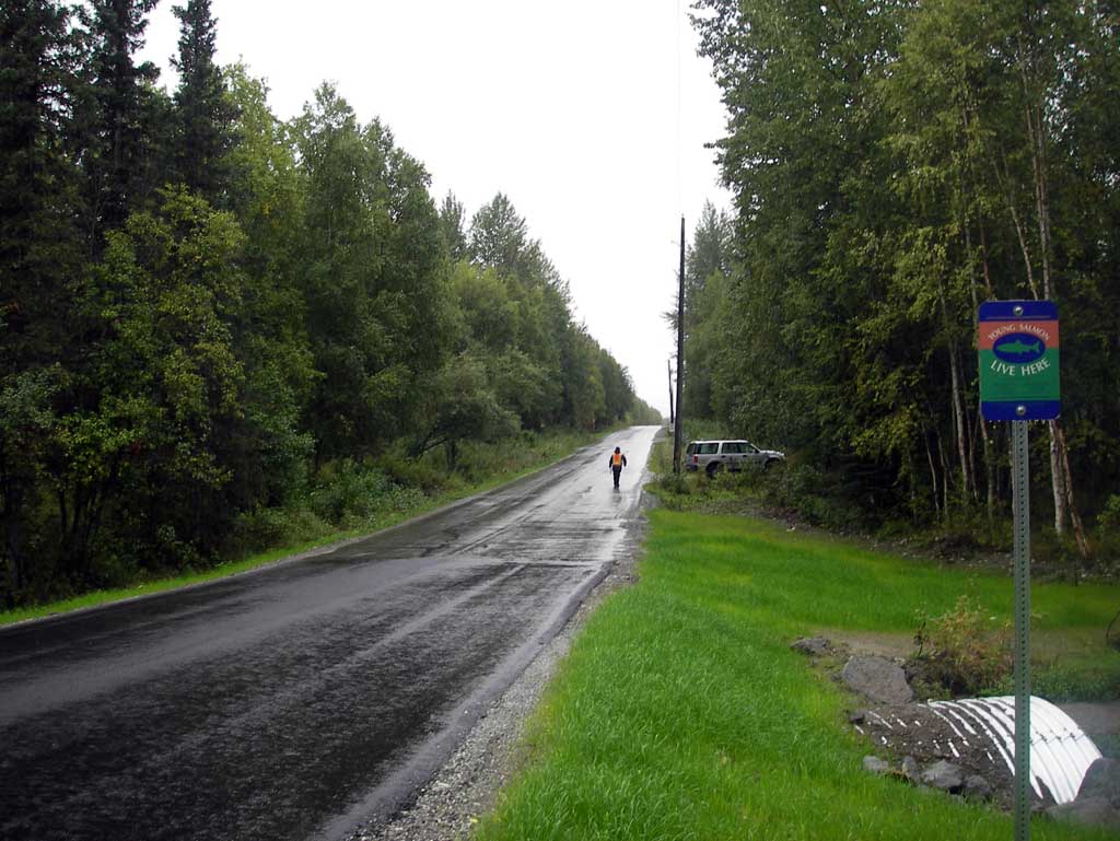
Road Name: West Sunrise Road
Datum: NAD83
Quad Name / ITM: Anchorage C-7
AWC Stream #:
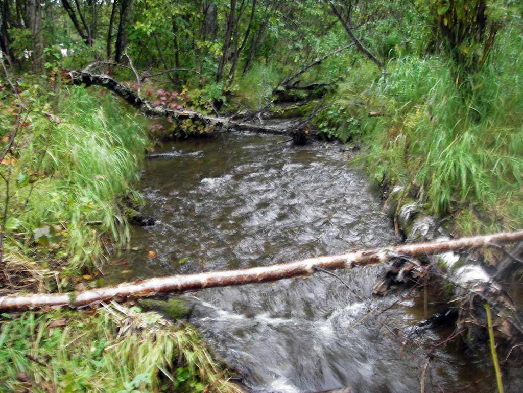
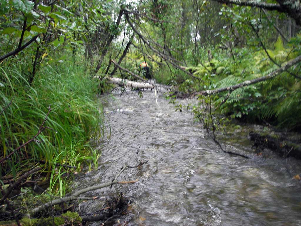
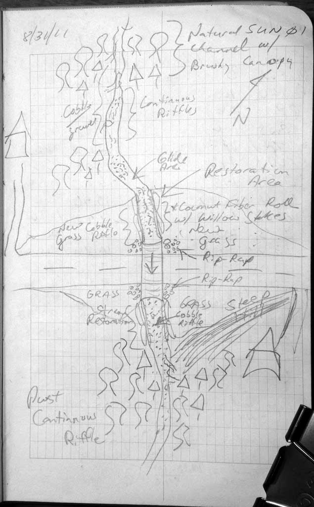
Stream Name: Poddle Creek
Elevation:
Site Comments: None
arrow to the right of the survey date below to choose a different report for this site.
Survey MSB11-SUN01
Project Supervisor: Gillian O'Doherty, Alaska Department of Fish and Game
— Anchorage, AK
Observers: John Greuey, Abraham Gioffre
Overall Fish Passage Rating:
Tidal: No
Backwatered: No
Step Pools: No
Construction Year: 2010
Site Observations:
- None of this type
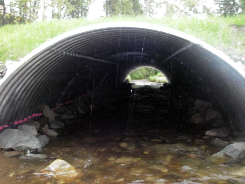
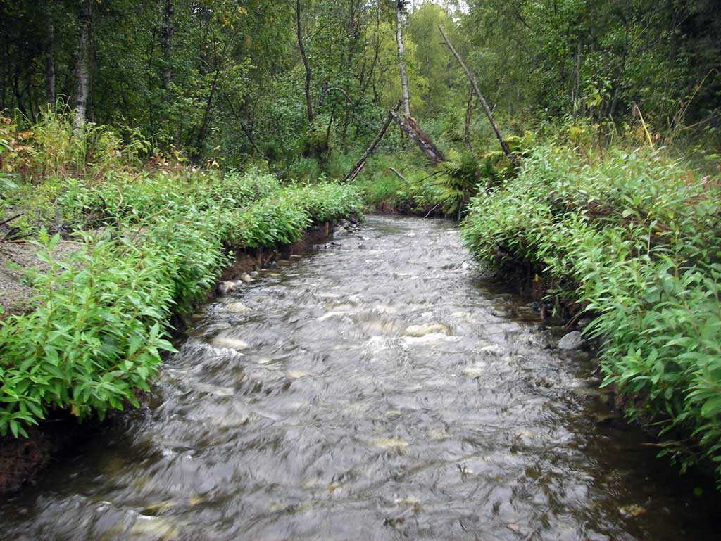
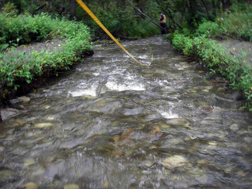
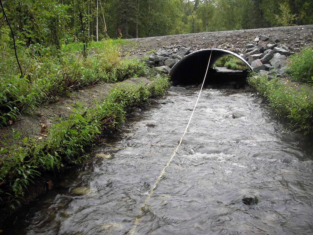
Comments: Survey was on a replacement culvert. Upst and dwst are continuous riffles.
Culvert Measurements
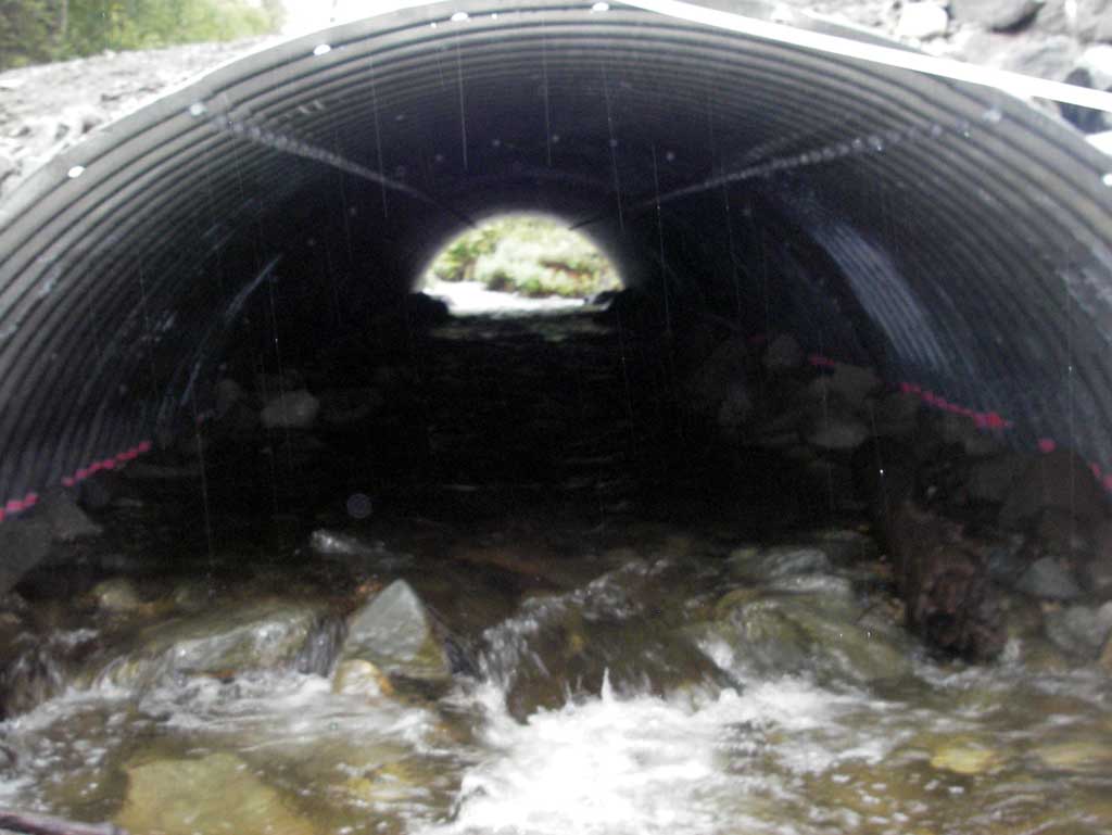
| ID: 1 | Structure Type: Open-bottom arch (Corrugated steel) | Fish Passage Rating: | |||||||||||||||||||||||||||||||||||||||||
|
|
|
|||||||||||||||||||||||||||||||||||||||||
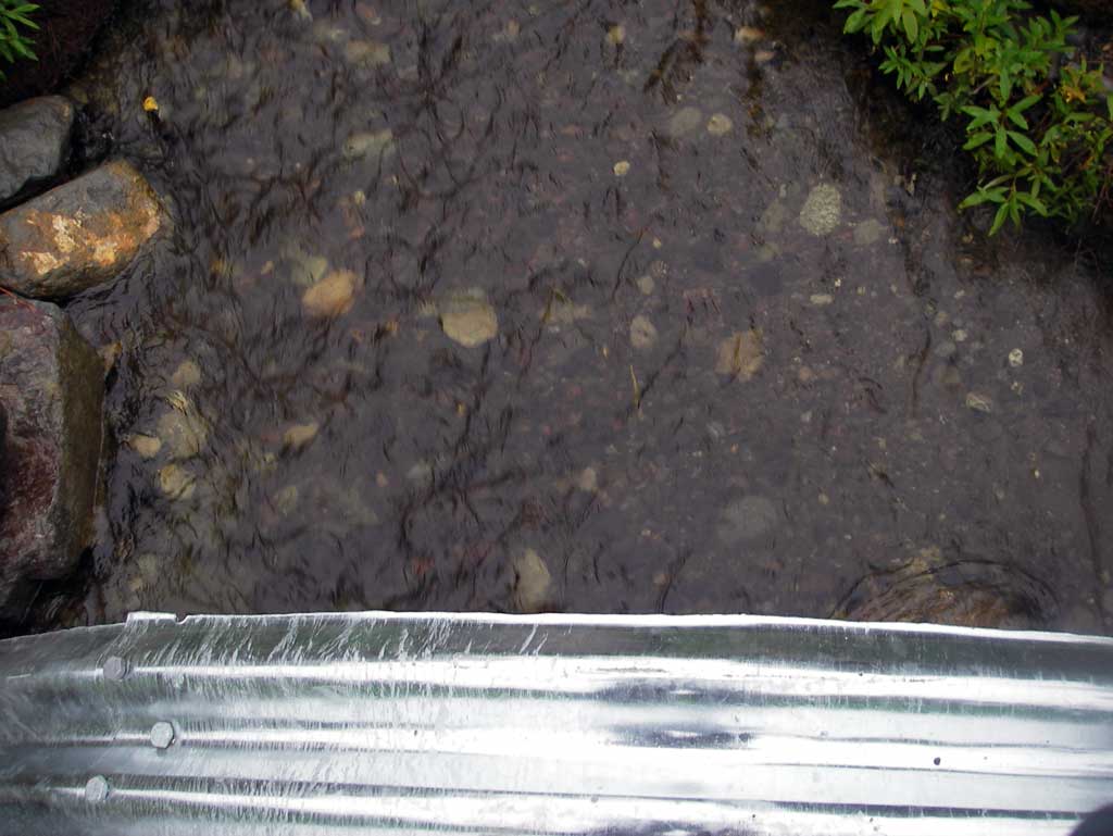
Culvert Observations:
|
|||||||||||||||||||||||||||||||||||||||||||
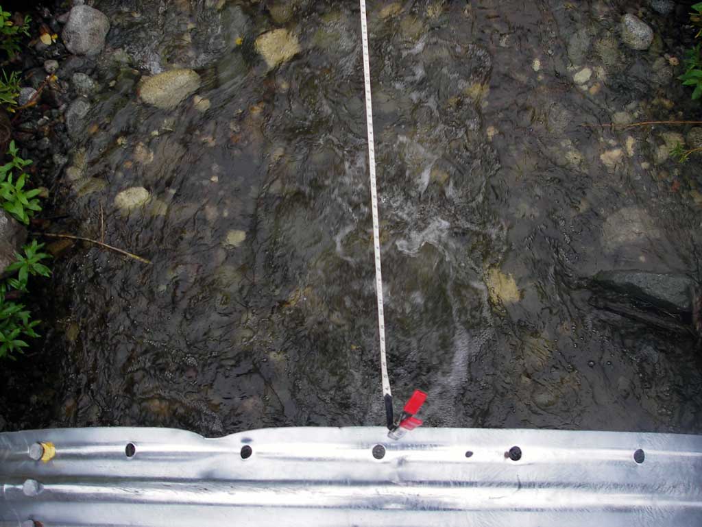
Stream Measurements
|
|
| Stream Width Type | Distance From Crossing (ft) |
Stream Width (ft) |
|---|---|---|
| Downstream ordinary high water | 66.0 | 11.00 |
| Downstream ordinary high water | 111.0 | 9.00 |
| Downstream ordinary high water | 145.0 | 8.00 |
Elevations
| Locator ID | Culvert Number |
River Distance (ft)1 |
Distance From Crossing (ft)2 |
Relative Elevation (ft) |
|---|---|---|---|---|
| D/S Water Surface Elev (water surface elev used for gradient) | 0.00 | 92.74 | ||
| D/S Water Surface Elev (water surface elev used for gradient) | 100.00 | 94.71 | ||
| D/S Water Surface Elev | 106.00 | 95.02 | ||
| D/S Thalweg (profile pt in riffle) | 106.00 | 94.56 | ||
| Outlet Invert (invert on substrate) | 145.00 | 94.58 | ||
| D/S Water Surface Elev (outlet water surface elev) | 145.00 | 95.59 | ||
| Outlet Pool Water Elev (Outlet pool water surface in eddy area) | 145.00 | 95.64 | ||
| Outlet Culvert Top | 145.00 | 100.00 | ||
| Road Elev | 167.00 | 103.68 | ||
| Inlet Culvert Top | 202.80 | 101.18 | ||
| Inlet Culvert Invert (invert on substrate) | 202.80 | 96.31 | ||
| U/S Water Surface Elev (inlet water surface elev) | 202.80 | 96.82 | ||
| U/S Headwater (water surface elev of eddy at inlet) | 202.80 | 96.86 | ||
| U/S Water Surface Elev | 240.80 | 97.52 | ||
| U/S Thalweg (profile pt in riffle) | 240.80 | 96.70 |
Notes:
- River distance is measured continuously throughout the survey reach along the thalweg of the stream.
- Measured from each end of the crossing along the thalweg of the stream.
Fish Sampling Efforts
No fish sampling occurred during this survey.
Fish Observations
No fish observations occurred during this survey.
Photos
Questions or comments about this report can be directed to dfg.dsf.webmaster@alaska.gov