Fish Passage Site 20501034
Coordinates (dec. deg.): 61.69004°, -149.29552°
Legal Description: S019N001E33
Region: South Central
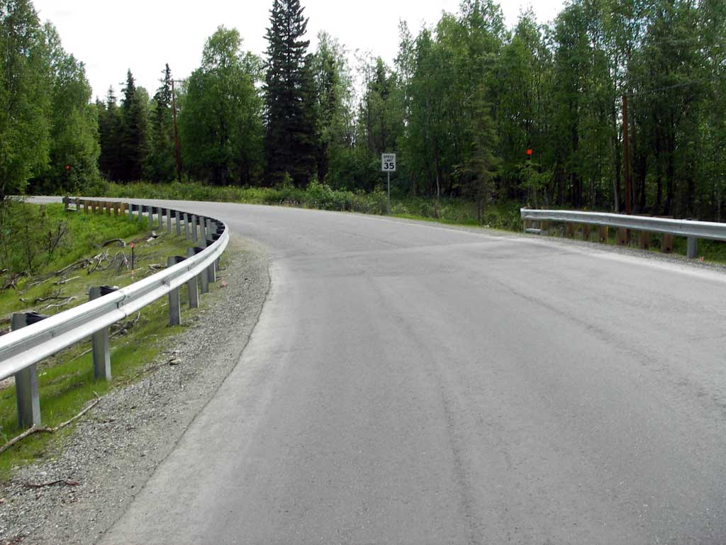
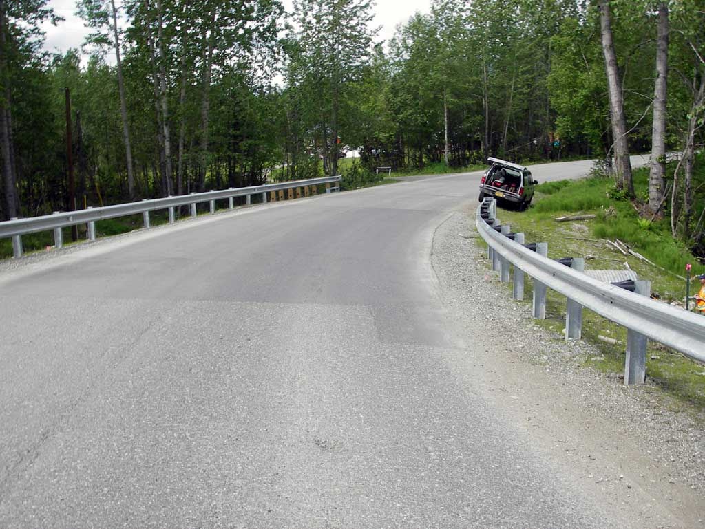
Road Name: Edgerton Parks Road
Datum: NAD83
Quad Name / ITM: Anchorage C-7
AWC Stream #:
Stream Name:
Elevation:
Site Comments: None
arrow to the right of the survey date below to choose a different report for this site.
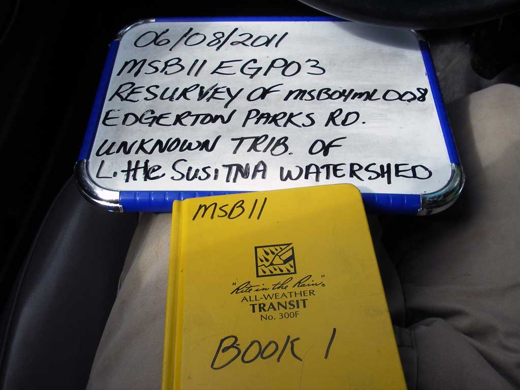
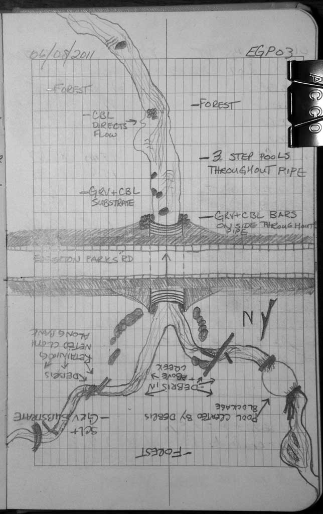
Survey MSB11-EGP03
Project Supervisor: Gillian O'Doherty, Alaska Department of Fish and Game
— Anchorage, AK
Observers: John Greuey, Abraham Gioffre
Overall Fish Passage Rating:
Tidal: No
Backwatered: No
Step Pools: Yes
Construction Year: 2010
Site Observations:
- None of this type
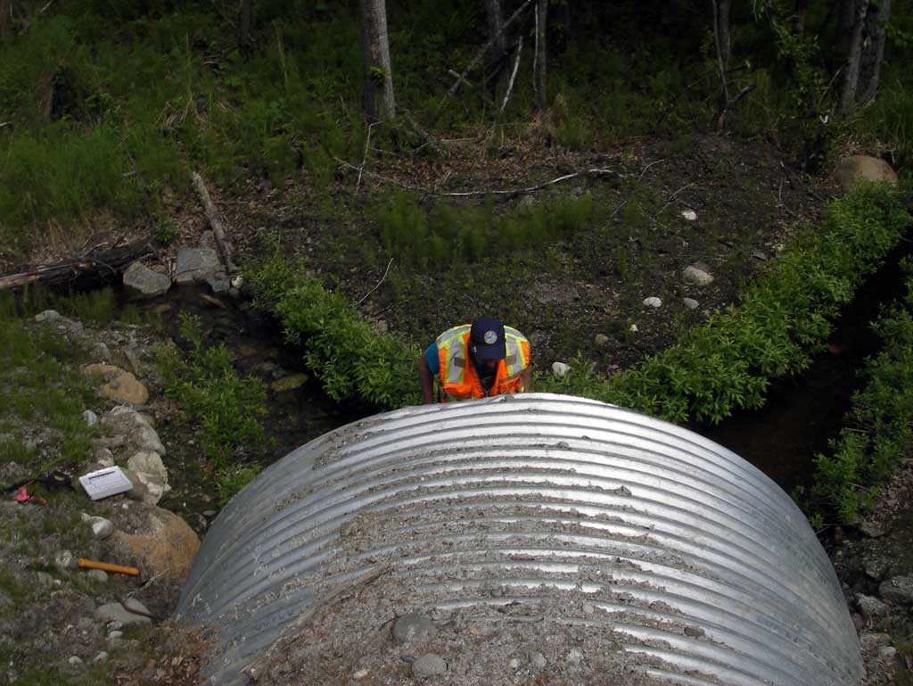
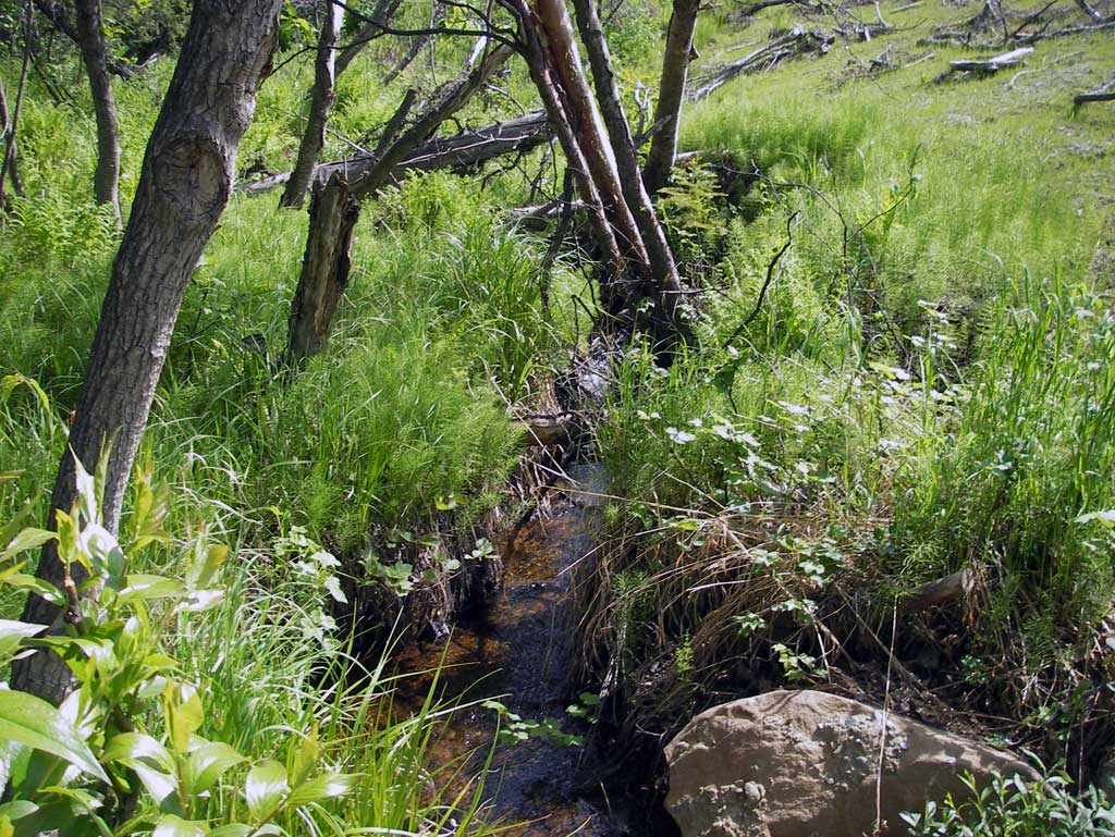
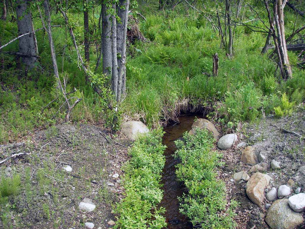
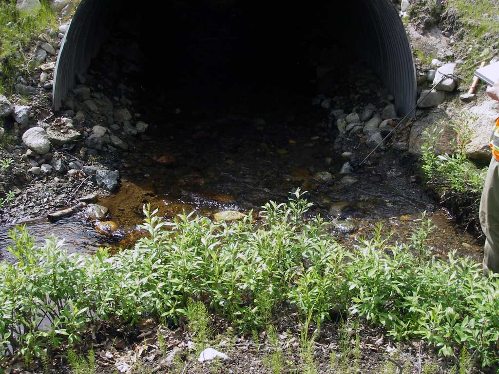
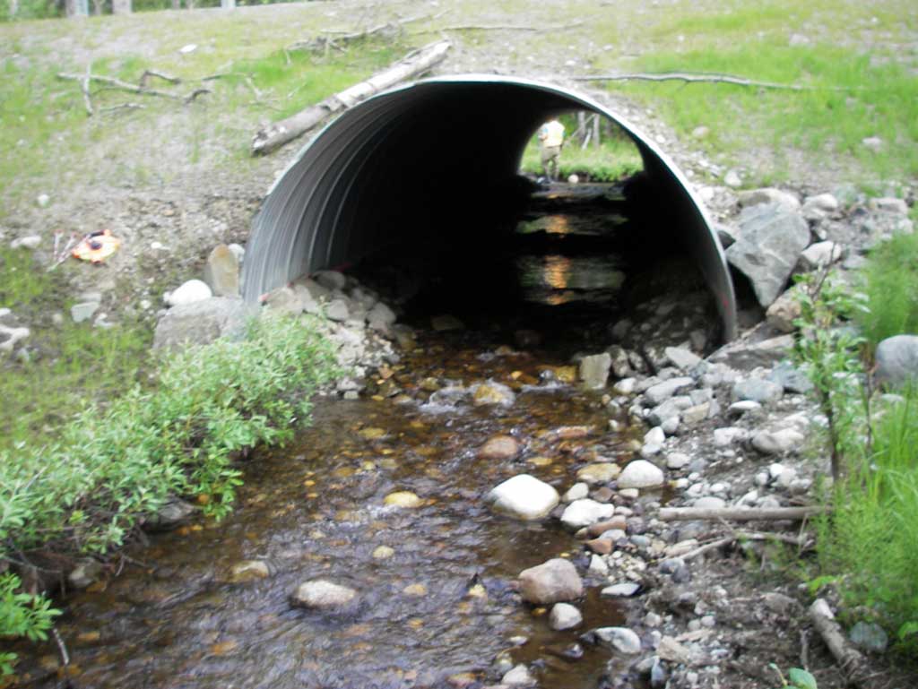
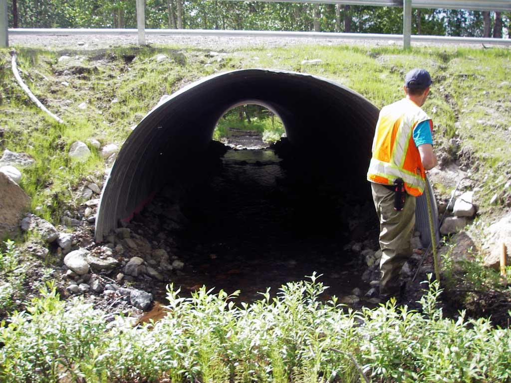
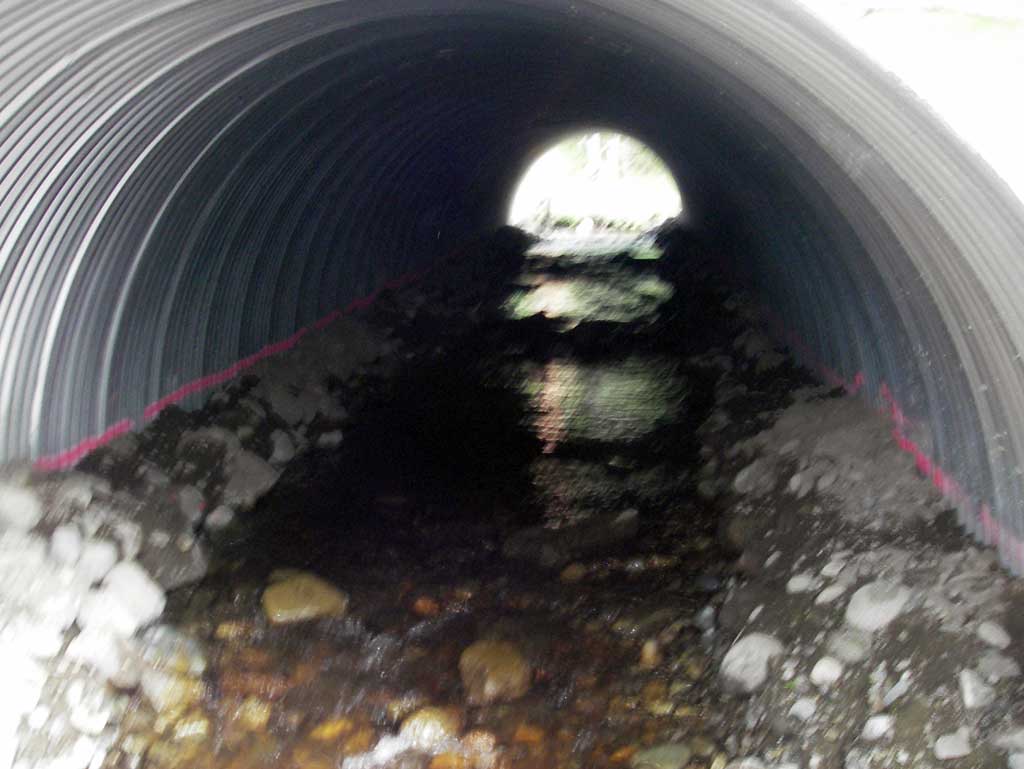
Comments: Replacement survey of MSB04ML008. Pipe appeared circular although could not hit bottom after driving a stake 3.5' into substrate. Pipe is embedded or open bottom arch.
Culvert Measurements
| ID: 1 | Structure Type: Circular pipe (Corrugated steel) | Fish Passage Rating: | ||||||||||||||||||||||||||||||||||||||||||
|
|
|
||||||||||||||||||||||||||||||||||||||||||
Culvert Observations:
|
||||||||||||||||||||||||||||||||||||||||||||
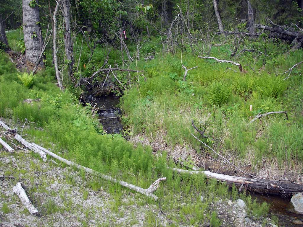
Stream Measurements
|
|
| Stream Width Type | Distance From Crossing (ft) |
Stream Width (ft) |
|---|---|---|
| Downstream ordinary high water | 62.0 | 5.80 |
| Downstream ordinary high water | 97.0 | 5.60 |
| Downstream ordinary high water | 107.0 | 5.55 |
Elevations
| Locator ID | Culvert Number |
River Distance (ft)1 |
Distance From Crossing (ft)2 |
Relative Elevation (ft) |
|---|---|---|---|---|
| D/S Grade Ctrl (Thalweg) (Top of riffle) | 0.00 | 84.25 | ||
| D/S Water Surface Elev (Used for stream gradient) | 0.00 | 84.69 | ||
| D/S Grade Ctrl (Thalweg) | 48.00 | 85.37 | ||
| D/S Water Surface Elev | 48.00 | 85.74 | ||
| D/S Grade Ctrl (Thalweg) | 88.00 | 86.67 | ||
| D/S Water Surface Elev (Used for stream gradient) | 88.00 | 86.91 | ||
| Outlet Invert | 120.00 | 87.38 | ||
| D/S Water Surface Elev (Water surface at outlet) | 120.00 | 87.66 | ||
| Outlet Culvert Top | 120.00 | 93.82 | ||
| Road Elev | 145.00 | 98.95 | ||
| Inlet Culvert Top | 184.88 | 95.61 | ||
| U/S Water Surface Elev (Water surface at inlet) | 184.88 | 89.71 | ||
| Inlet Culvert Invert | 184.88 | 89.42 | ||
| U/S Grade Ctrl (Thalweg) (Grade point of braid #2) | 201.88 | 89.71 | ||
| U/S Water Surface Elev (Water surface of braid #2) | 201.88 | 90.12 | ||
| U/S Water Surface Elev (Water surface of braid #1) | 209.88 | 89.85 | ||
| U/S Grade Ctrl (Thalweg) (Grade point of braid #1) | 209.88 | 89.56 |
Notes:
- River distance is measured continuously throughout the survey reach along the thalweg of the stream.
- Measured from each end of the crossing along the thalweg of the stream.
Fish Sampling Efforts
No fish sampling occurred during this survey.
Fish Observations
No fish observations occurred during this survey.
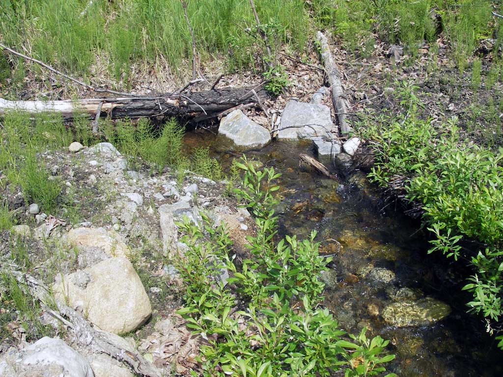
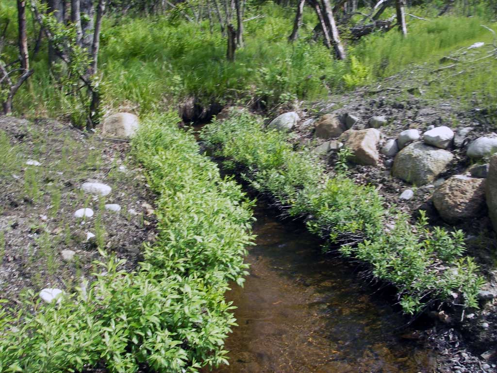
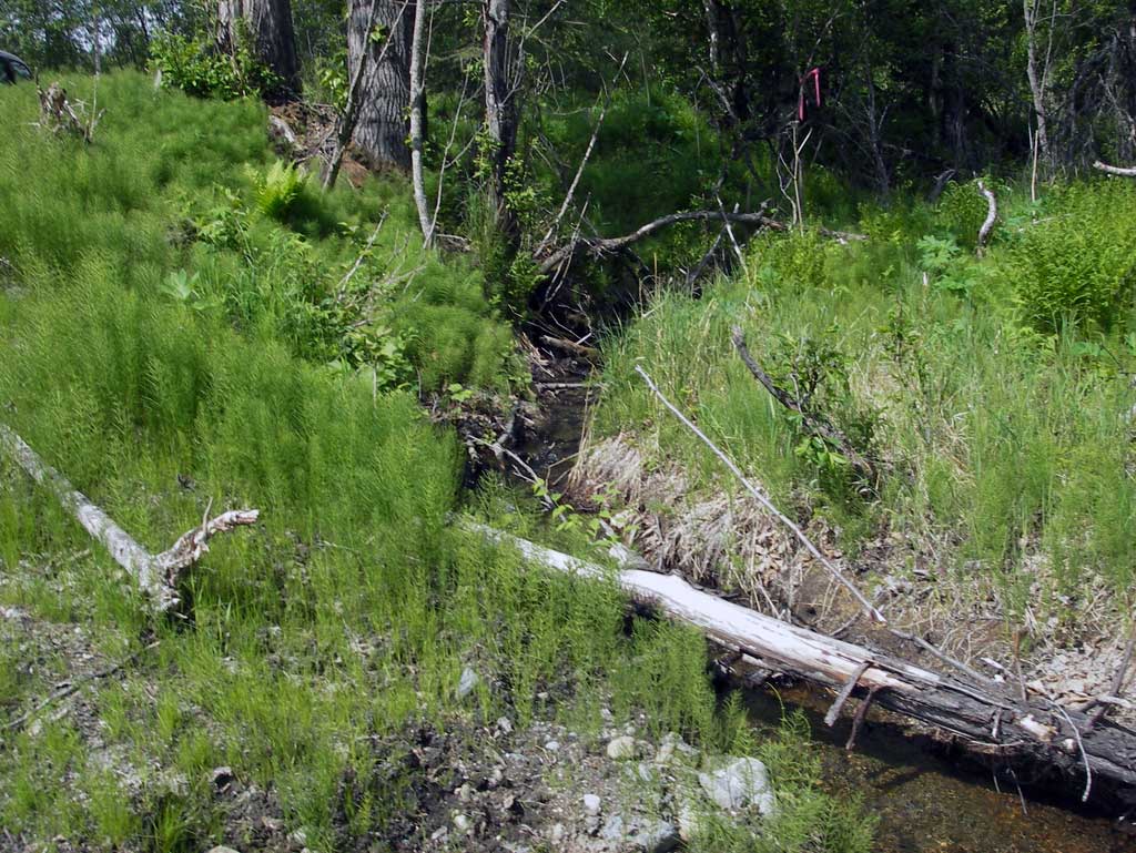
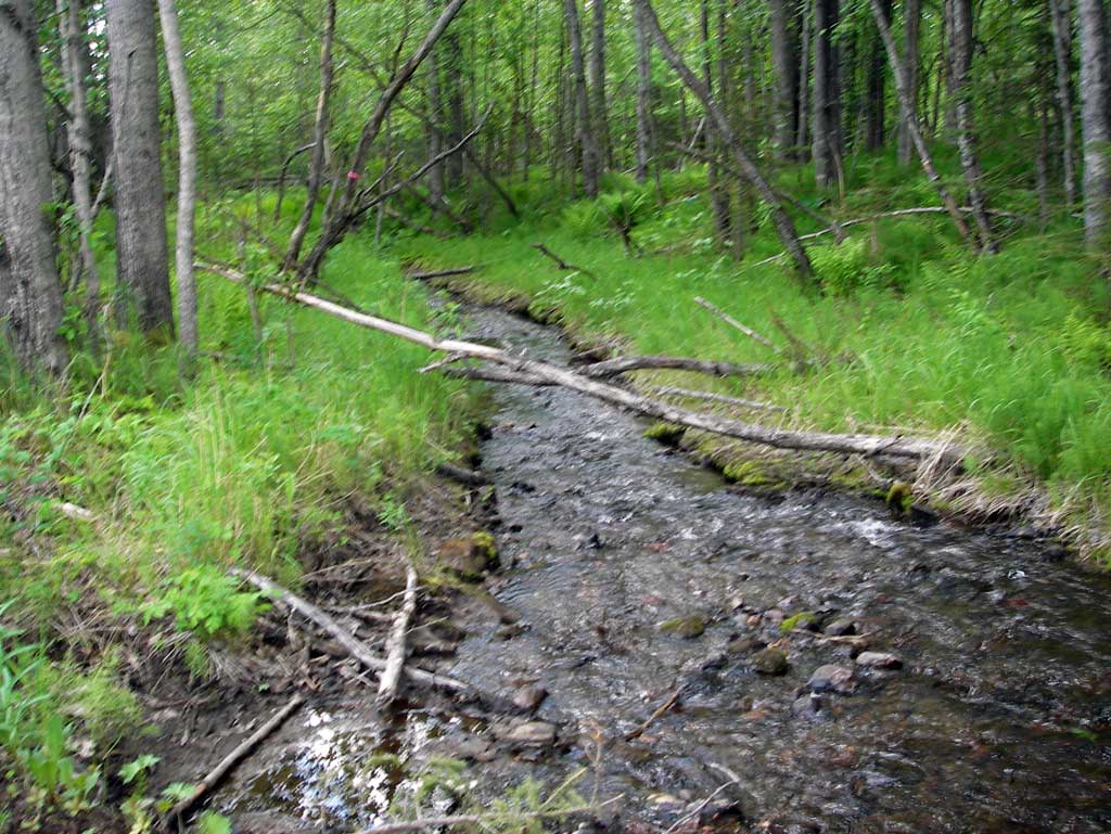
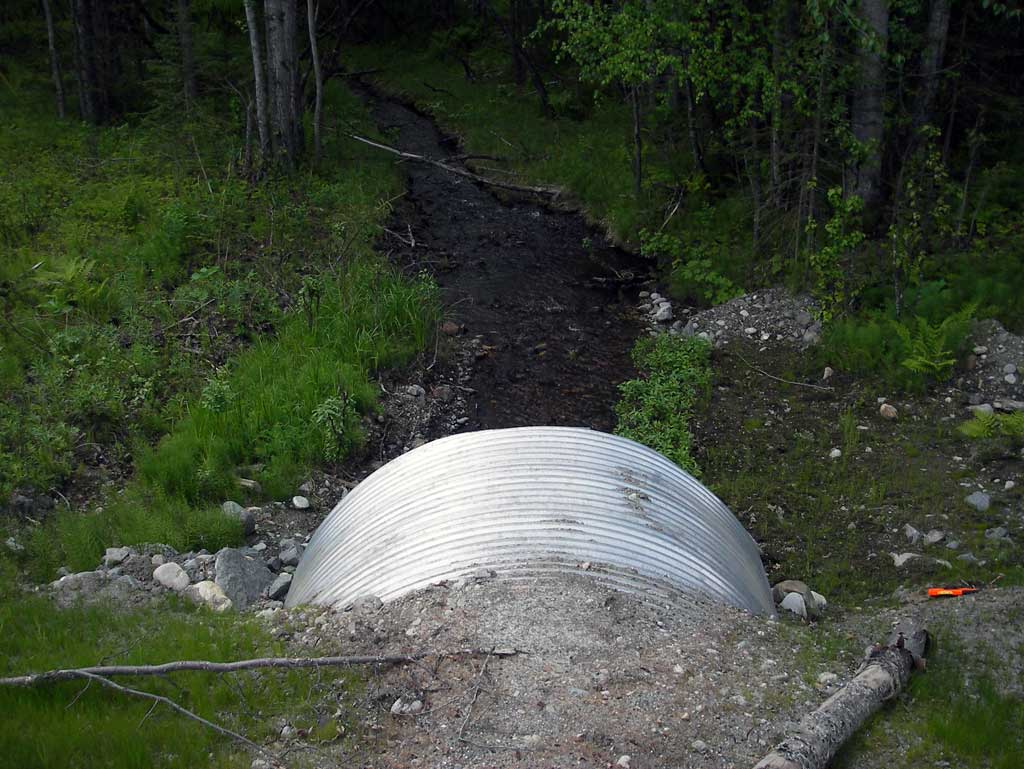
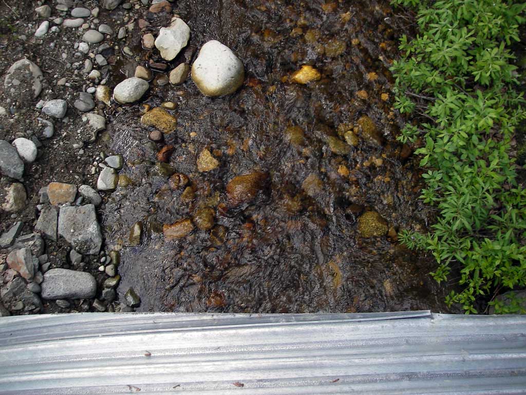
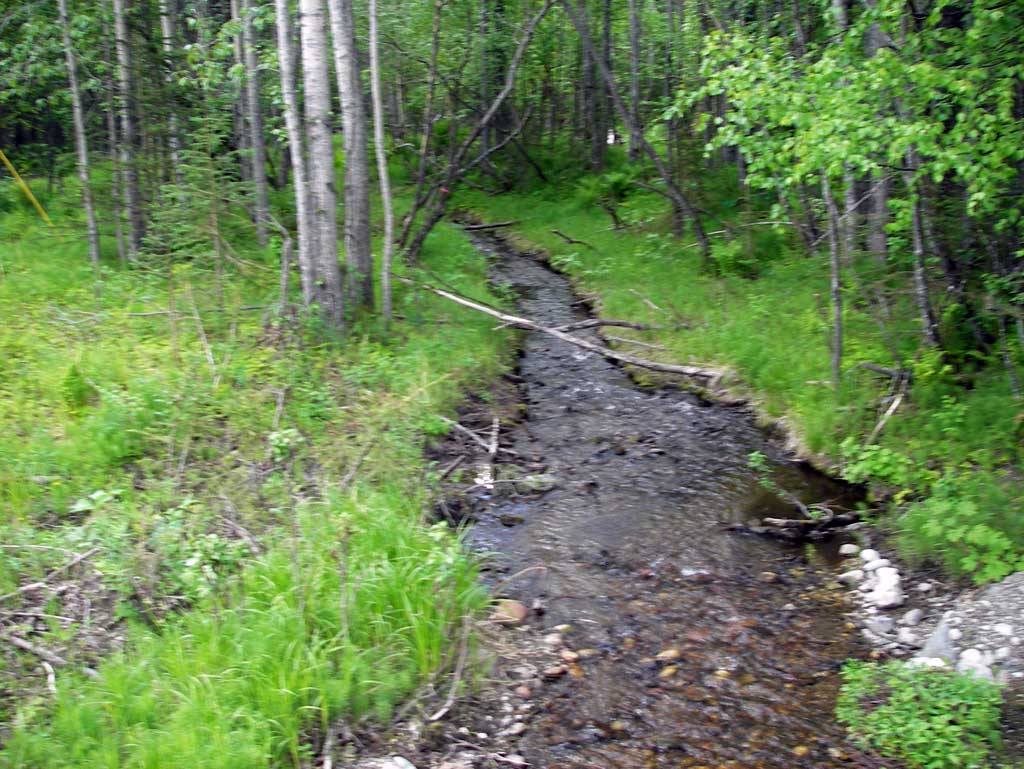
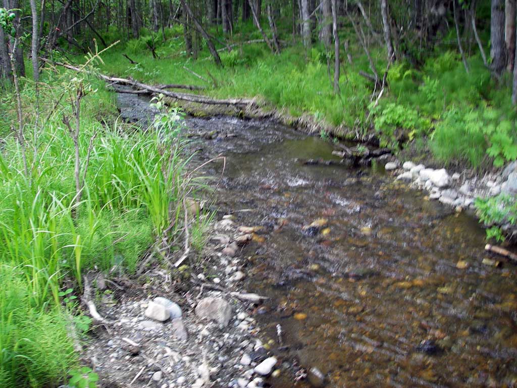
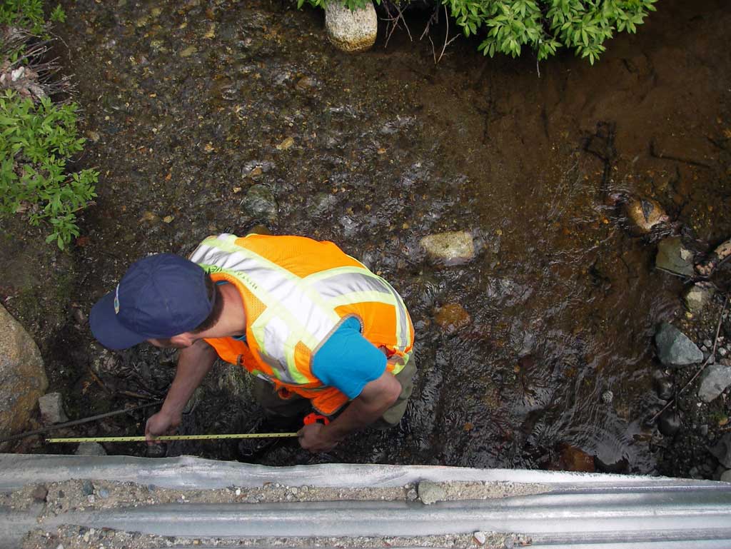
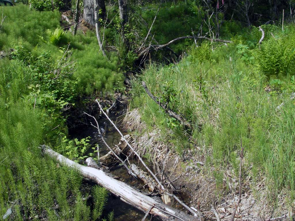
Photos
Questions or comments about this report can be directed to dfg.dsf.webmaster@alaska.gov