Fish Passage Site 20403788
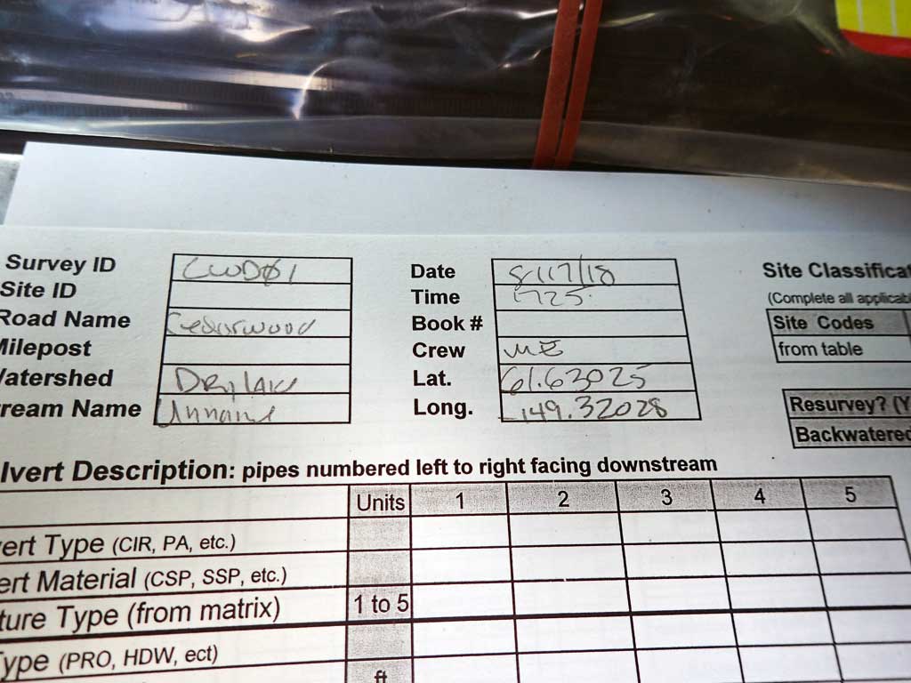
Coordinates (dec. deg.): 61.63025°, -149.32028°
Legal Description: S018N001E20
Region: South Central
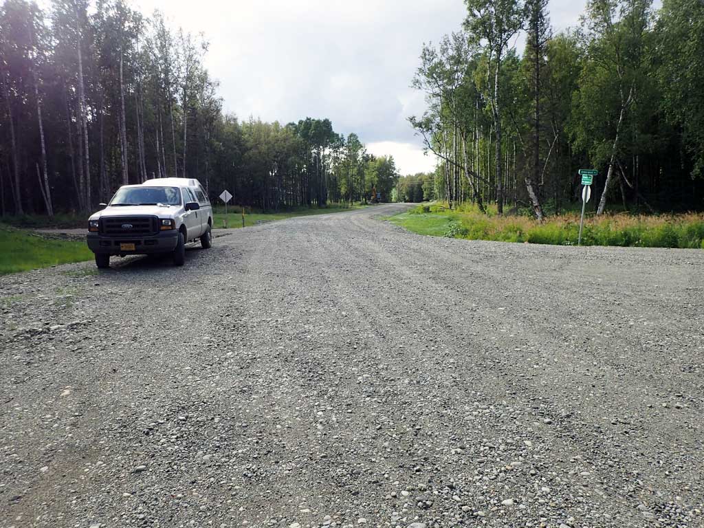
Road Name: Cedarwood Drive
Datum: NAD83
Quad Name / ITM: Anchorage C-7
AWC Stream #:
Stream Name: Unnamed
Elevation:
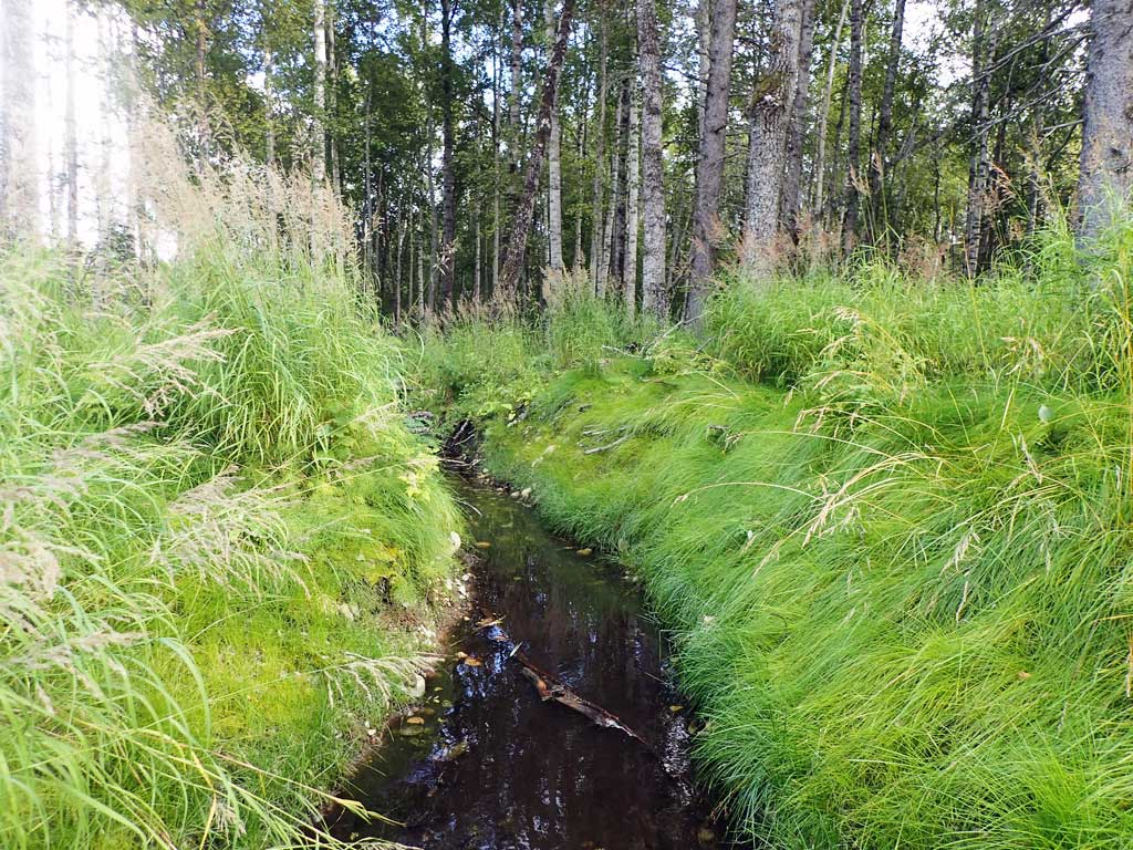
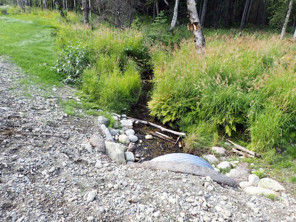
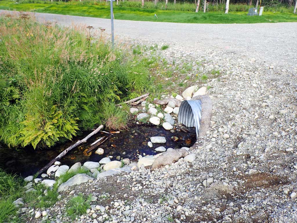
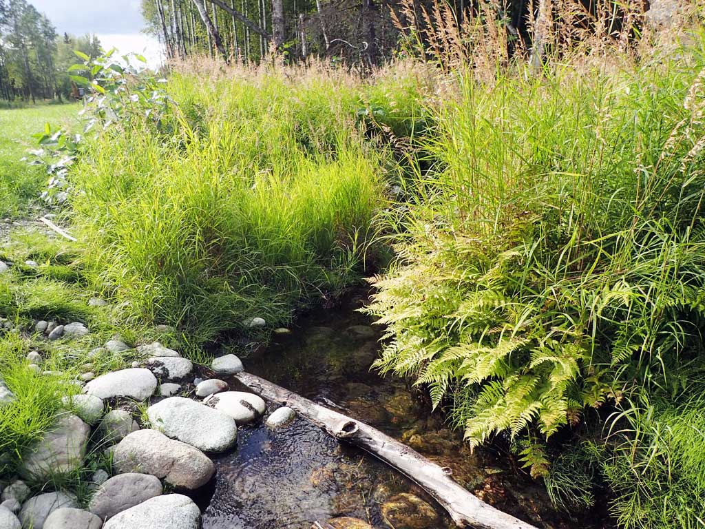
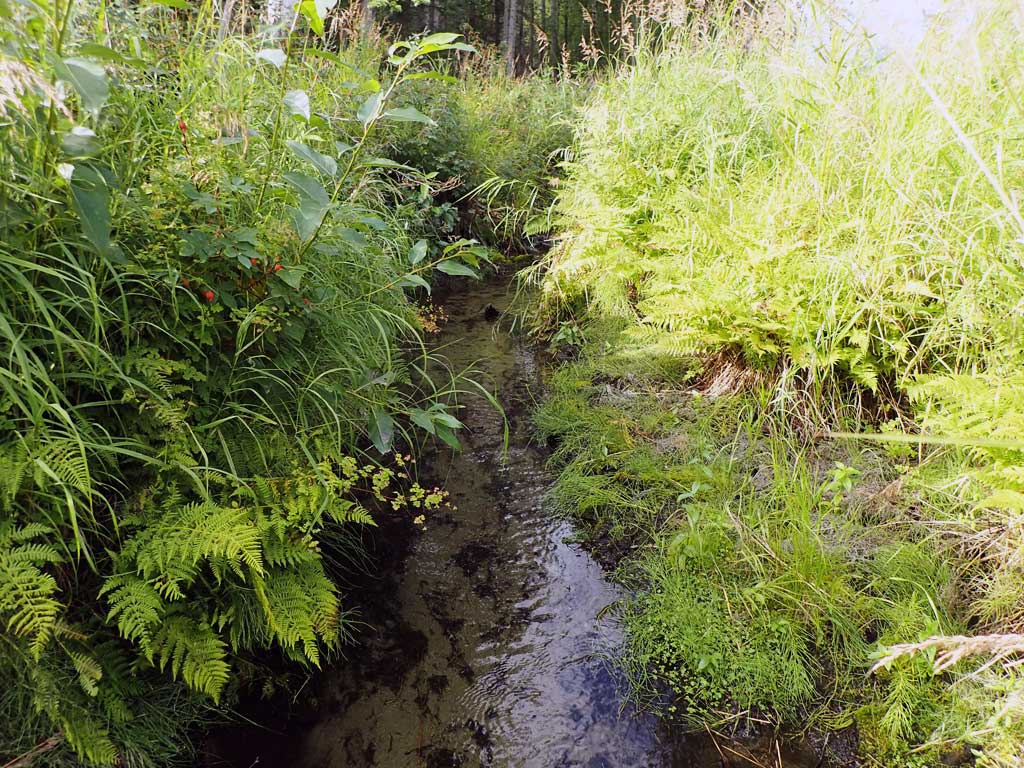
Site Comments: Unnamed tributary to Upper Dry Lake
arrow to the right of the survey date below to choose a different report for this site.
Survey UPDATE-CWD01
Project Supervisor: Gillian O'Doherty, ADFG
Observers: Mark Eisenman
Overall Fish Passage Rating:
Tidal: No
Backwatered: No
Step Pools: No
Construction Year:
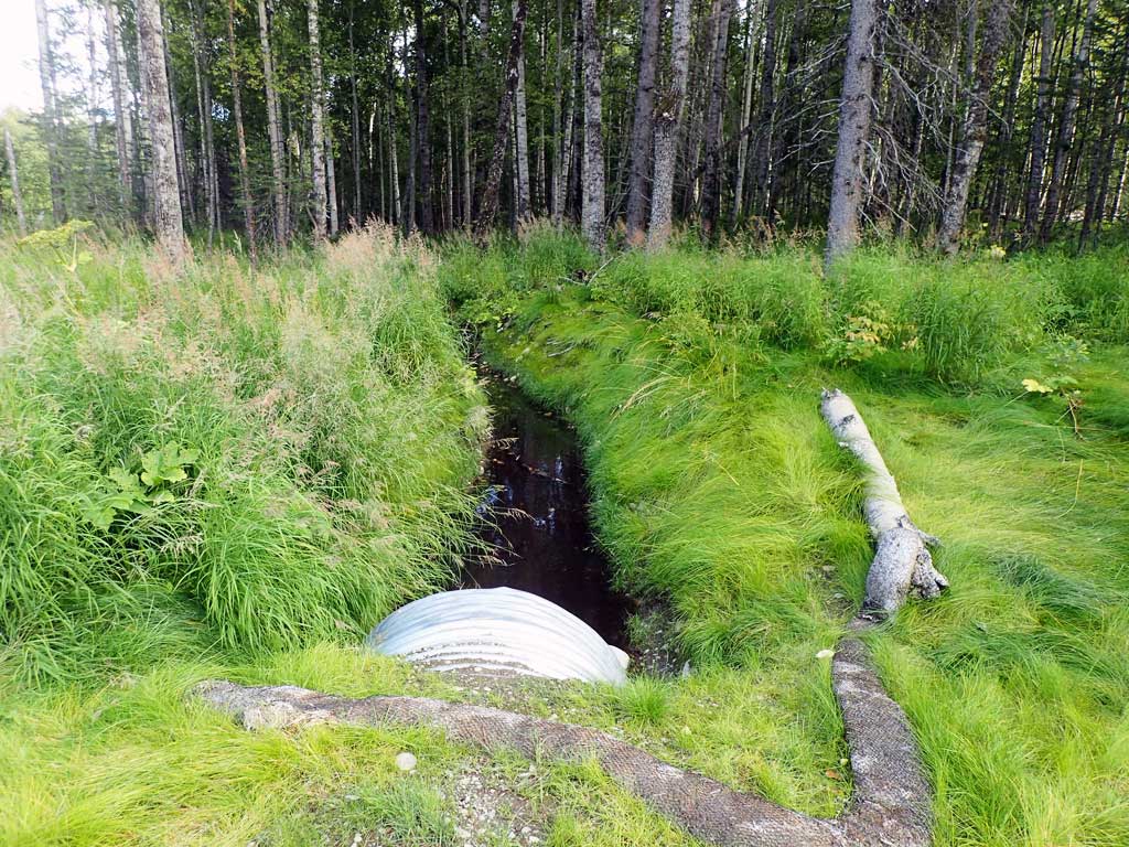
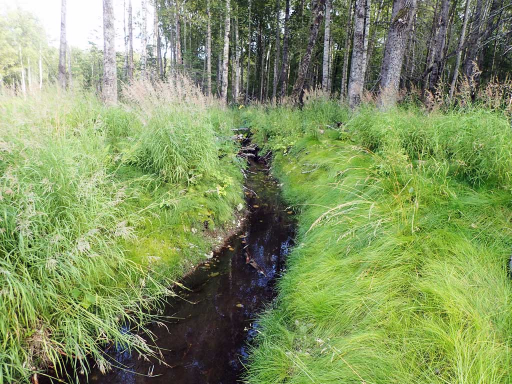
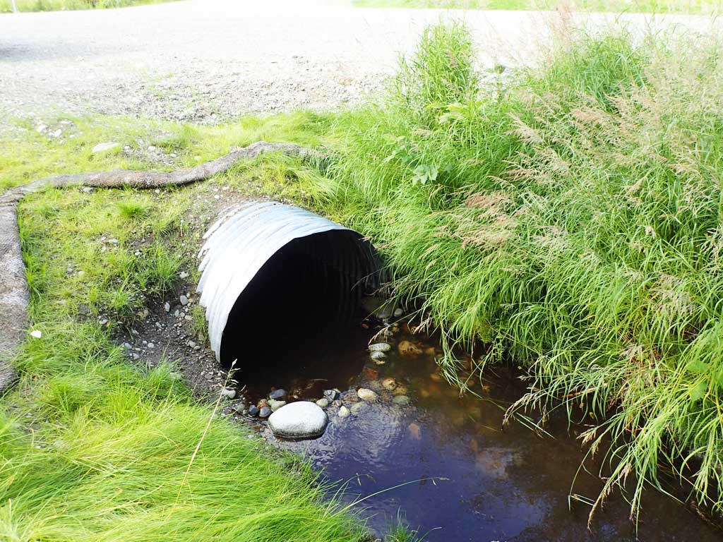
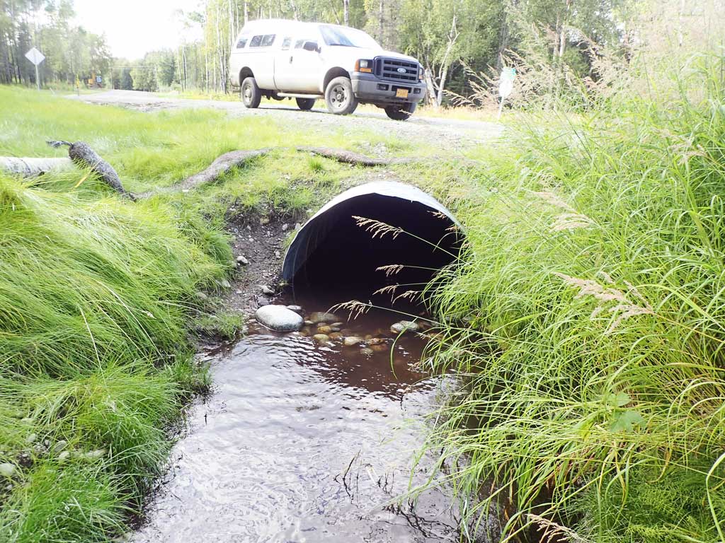
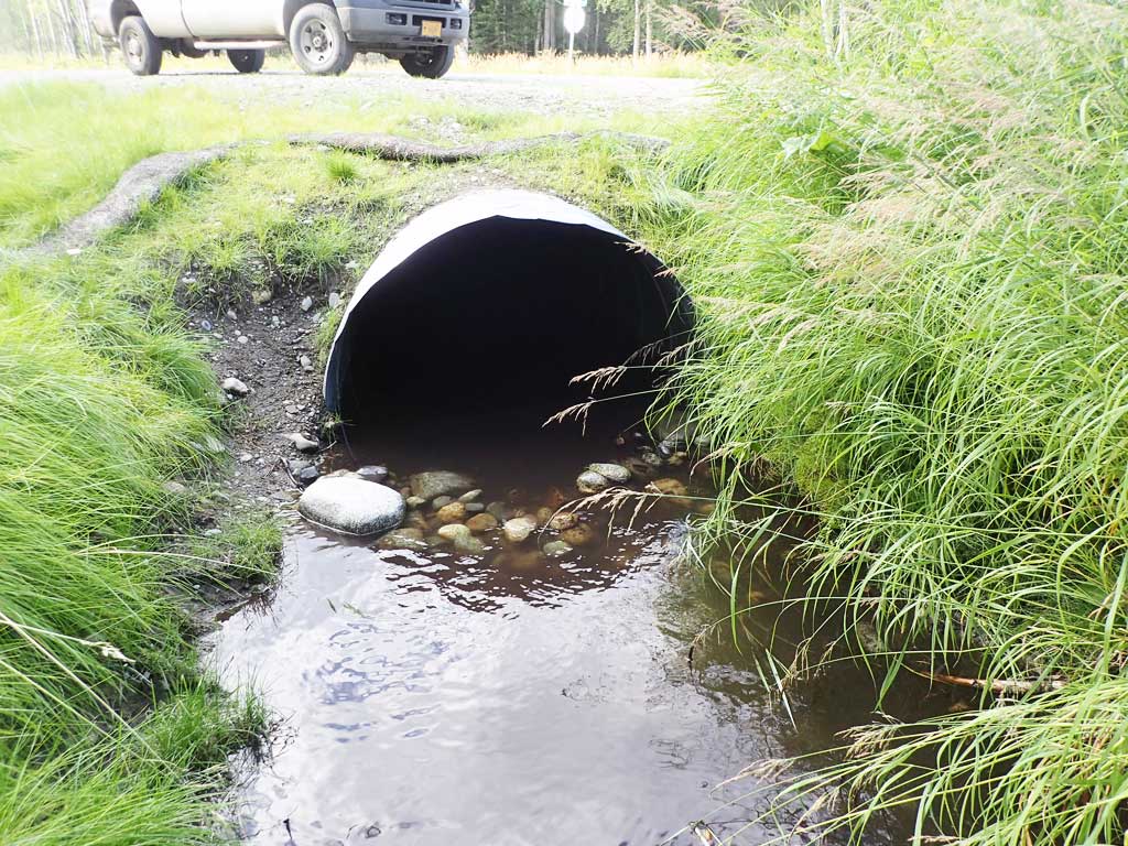
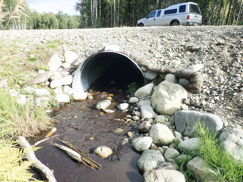
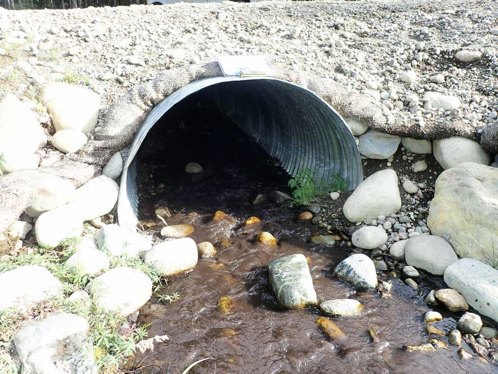
Comments: New culvert installed in 2017 for the Cedarwood Drive extension. No fish caught but one 90-100mm salmonid was observed at outlet. Upstream and downstream are fairly flat and shallow with sand/silt bottom. Moose bones discarded in upstream channel. Site visited on 8-17-18 for photos and baseline measurements, site still need full assessment for rating. Does not appear to be a barrier from visual observations.
Culvert Measurements
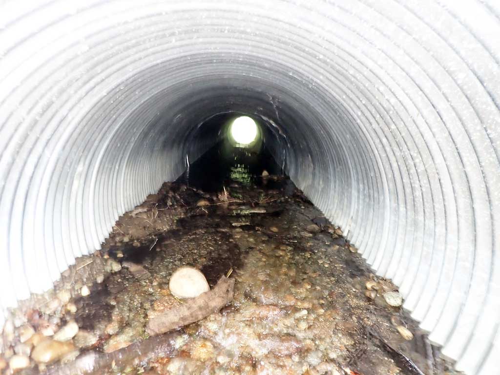
| ID: 1 | Structure Type: Circular pipe (Corrugated steel) | Fish Passage Rating: | ||||||||||||||||||||||||||||||||||||||||||
|
|
|
||||||||||||||||||||||||||||||||||||||||||
Comments: Permit states that installed slope should be about 2.1%. Small riffle at inlet and small rock wier at outlet. Cuvlert is partially backwatered about 3/4 of it's length. |
||||||||||||||||||||||||||||||||||||||||||||
Stream Measurements
|
|
No stream width data available.
Elevations
No elevation data available.
Fish Sampling Efforts
| Gear Type: Minnow Trap (A) | Trap Duration(h): 8.0 | |
| Comments: Trap set about 50 feet upstream | ||
| Gear Type: Minnow Trap (B) | Trap Duration(h): 8.0 | |
| Comments: Trap set about 30 feet downstream. | ||
| Gear Type: Visual Observation, Ground (C) | ||
| Gear Type: Smith-Root LR-24 (D) | Trap Duration(h): 0 | |
| Gear Type: Smith-Root LR-24 (E) | Trap Duration(h): 0 | |
Fish Observations
| Species: juvenile general fish observation, no species information | Life History: Unknown | ||
| Total Fish Observed: 1 | Fish Measured: | Fork Lengths (mm) Min: Max: Mean: | |
| Collected/Observed by Gear Type: Downstream Visual Observation, Ground (1) | |||
| Comments: Unidentified salmonid observed at culvert outlet. | |||
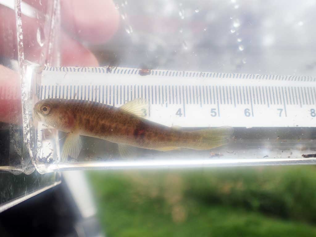
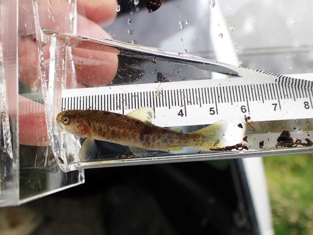
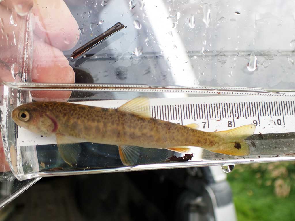
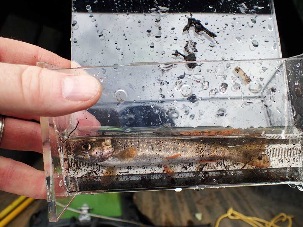
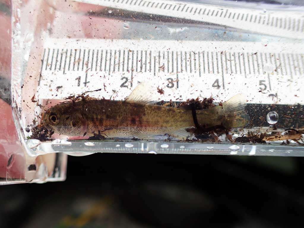
| Species: juvenile Dolly Varden | Life History: Unknown | ||
| Total Fish Observed: 6 | Fish Measured: 6 | Fork Lengths (mm) Min: 39 Max: 82 Mean: 50 | |
| Collected/Observed by Gear Type: Upstream Smith-Root LR-24 (3) Downstream Smith-Root LR-24 (3) | |||
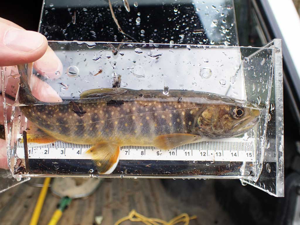
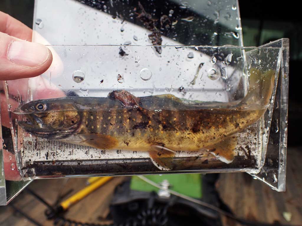
| Species: juvenile/adult Dolly Varden | Life History: Unknown | ||
| Total Fish Observed: 2 | Fish Measured: 2 | Fork Lengths (mm) Min: 170 Max: 180 Mean: 175 | |
| Collected/Observed by Gear Type: Upstream Smith-Root LR-24 (1) Downstream Smith-Root LR-24 (1) | |||
Photos


Questions or comments about this report can be directed to dfg.dsf.webmaster@alaska.gov