Fish Passage Site 20403473
Coordinates (dec. deg.): 61.12676°, -149.79461°
Legal Description: S012N003W15
Region: South Central
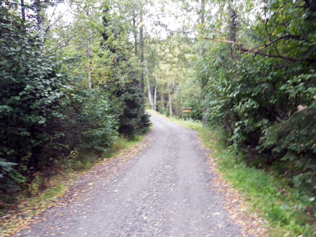
Road Name: Private Driveway
Datum: NAD83
Quad Name / ITM: Anchorage A-8
AWC Stream #: 247-60-10340-2018-3006
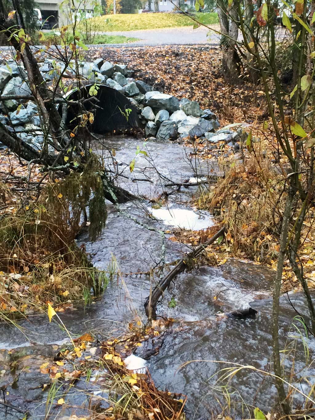
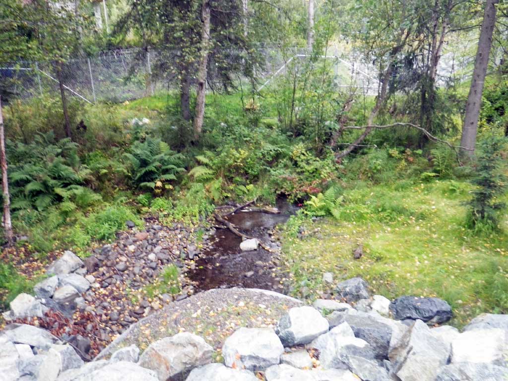
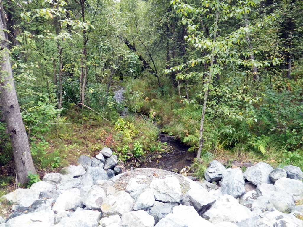
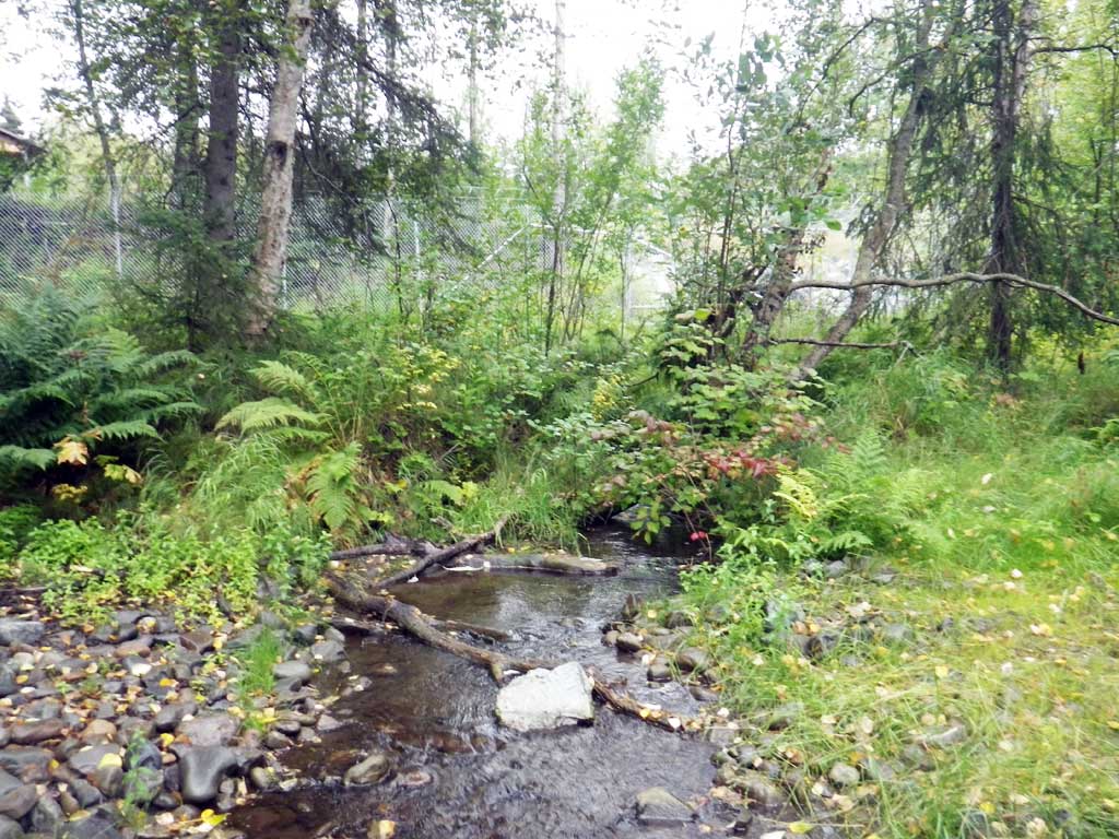
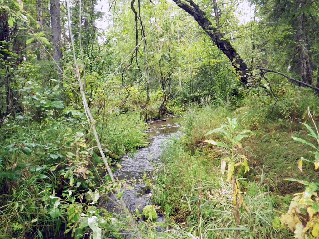
Stream Name: Little Campbell Creek, South Fork
Elevation:
Site Comments: Driveway is located at the end of E104th Ave.
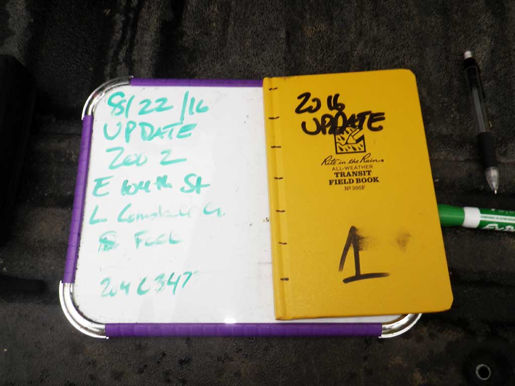
Survey UPDATE-ZOO2
Project Supervisor: Gillian O'Doherty, ADFG
Observers: Mark Eisenman
Overall Fish Passage Rating:
Tidal: No
Backwatered: No
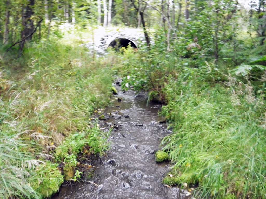
Step Pools: Yes
Construction Year: 2015
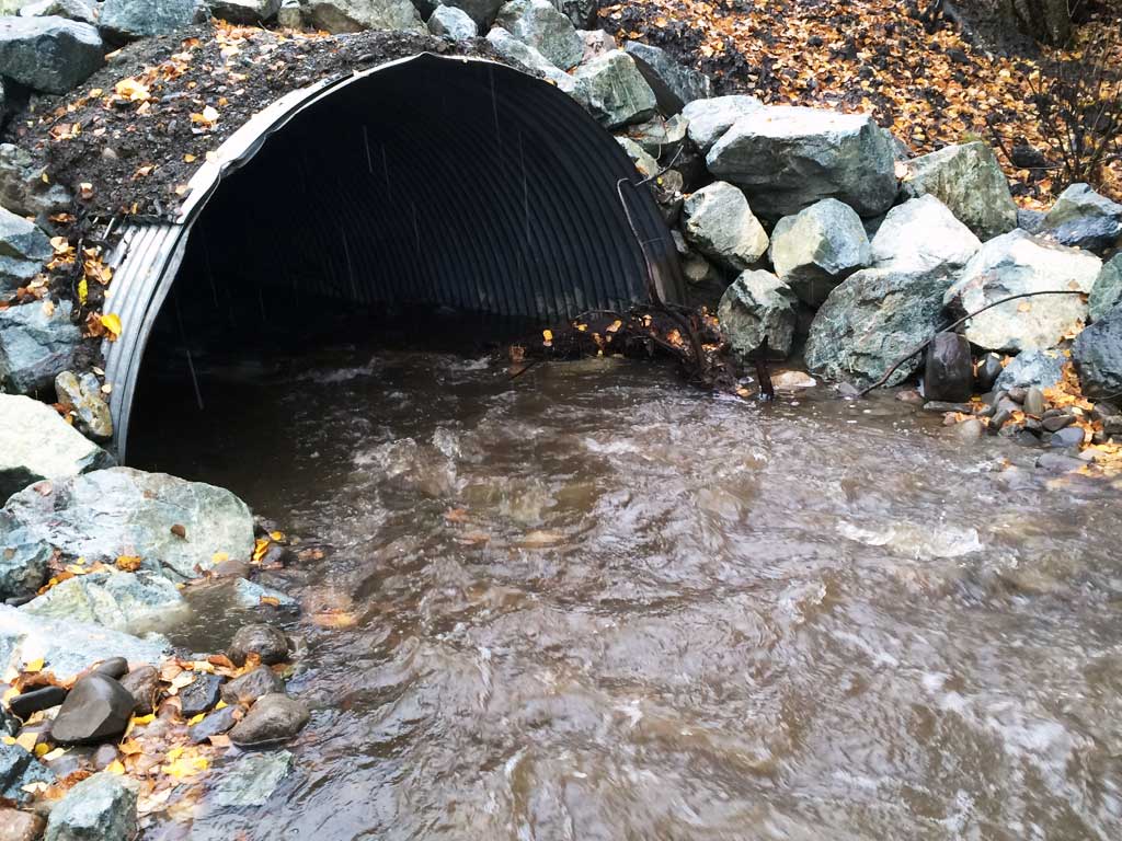
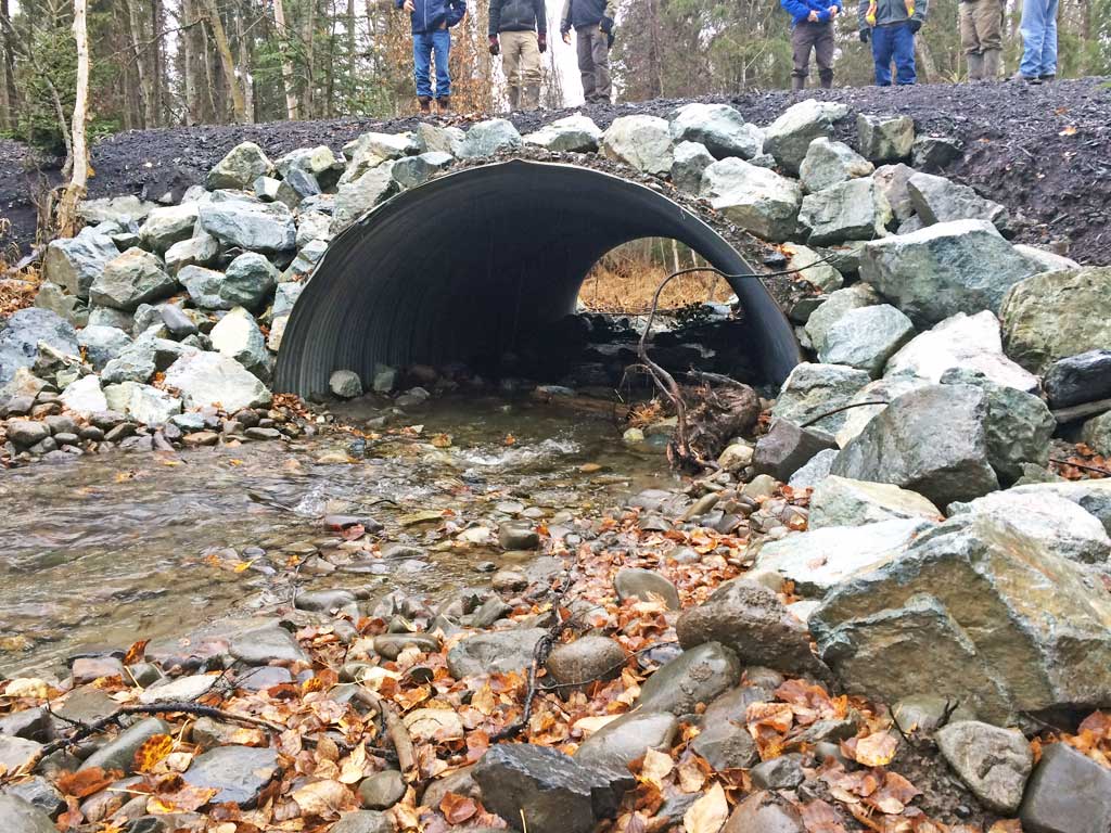
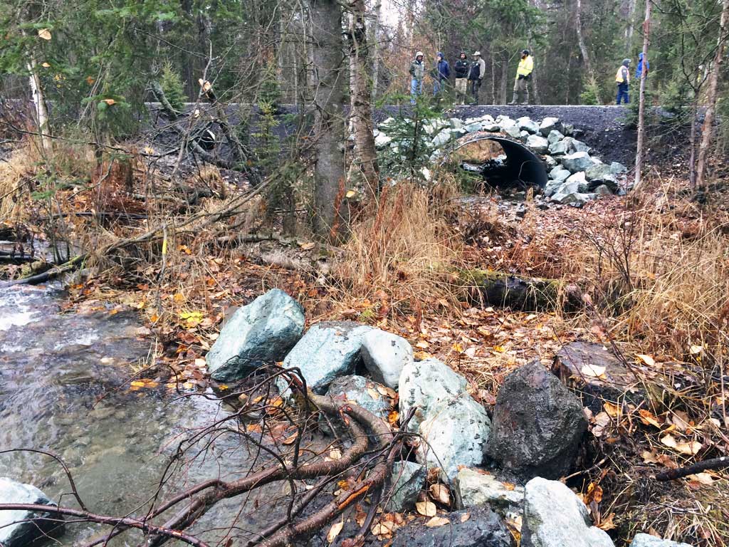
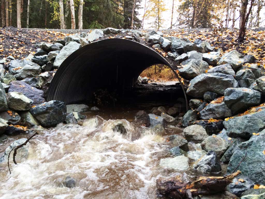
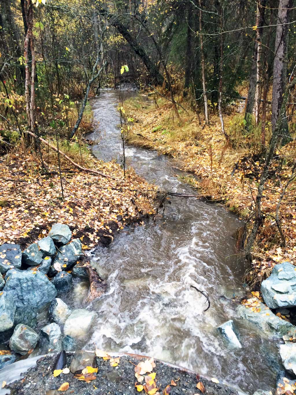
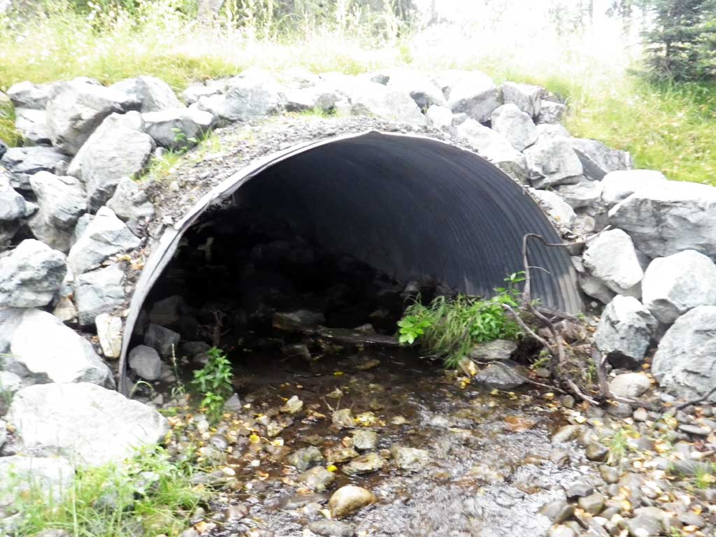
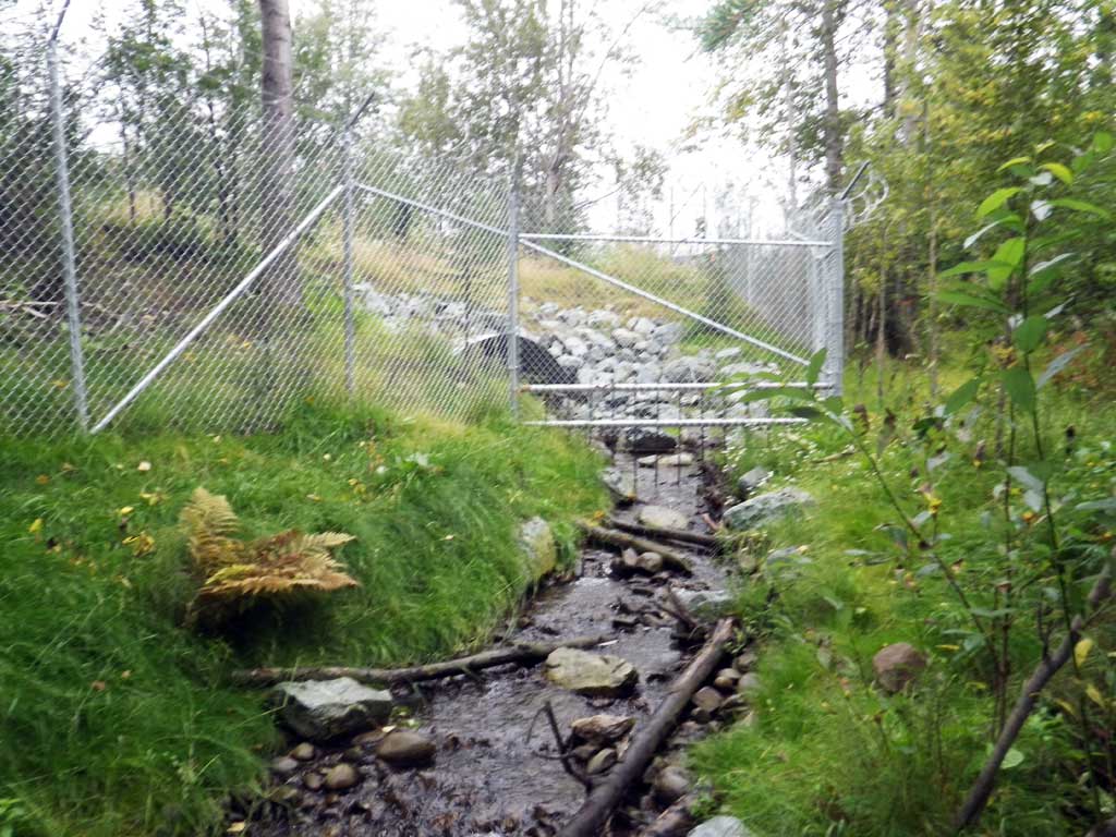
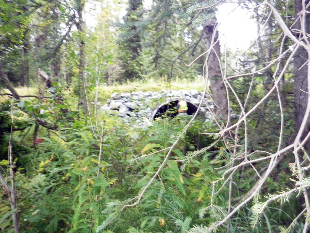
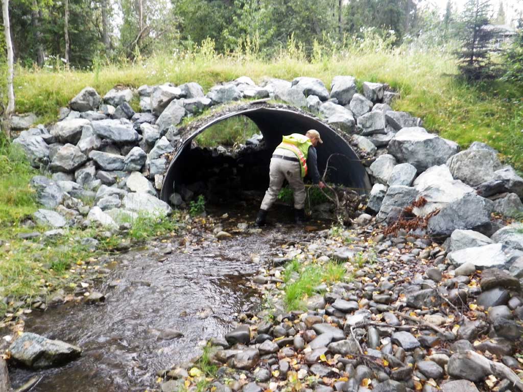
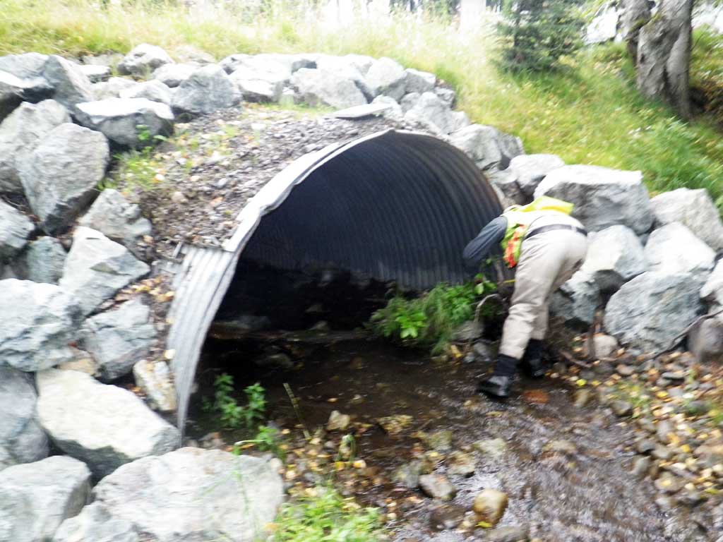
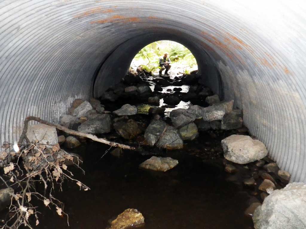
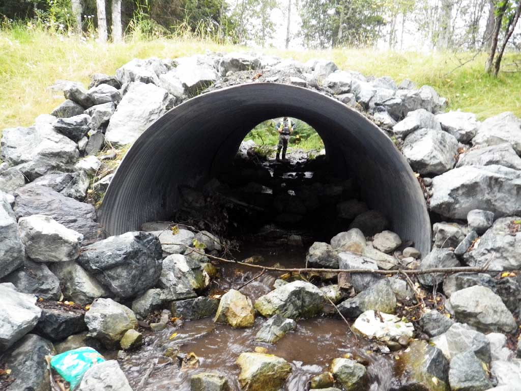
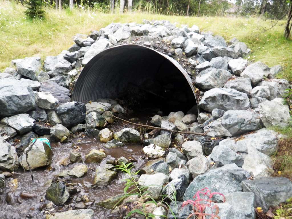
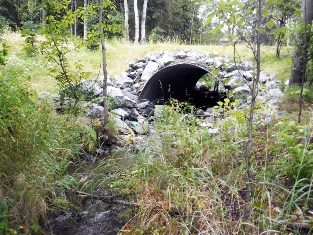
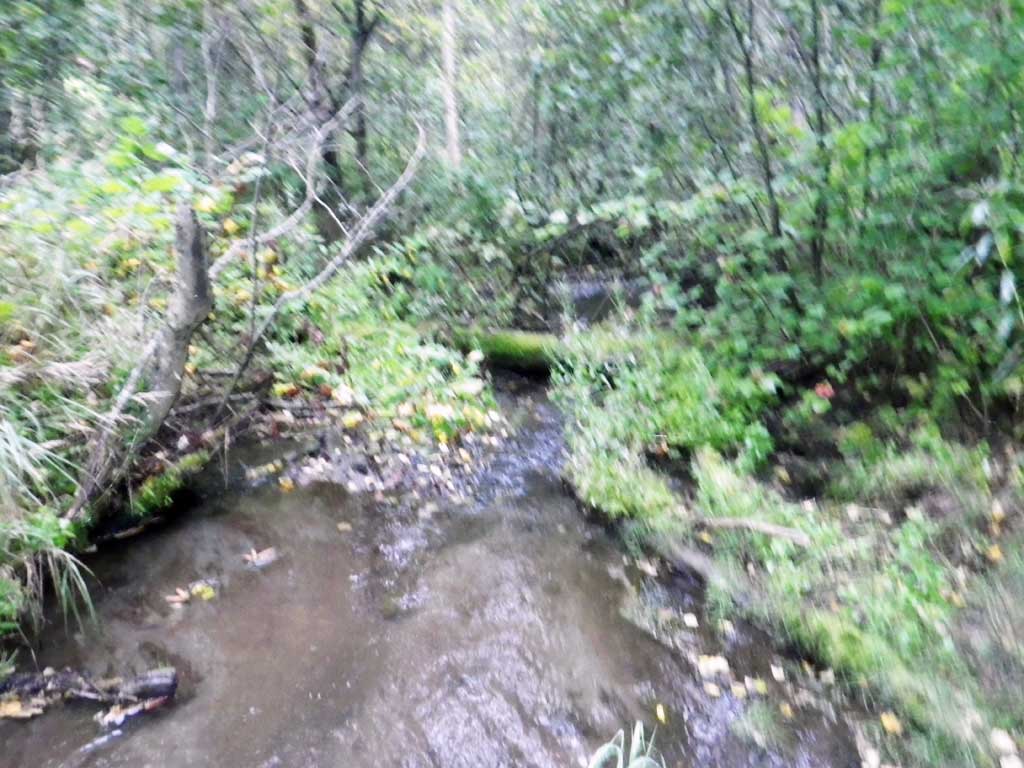
Comments: Site was replaced 9/10/15. There is another culvert about 100 feet upstream that was also replaced as part of this project which was a priority in the Little Campbell Creek Watershed Management Plan.
Culvert Measurements
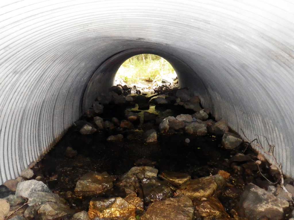
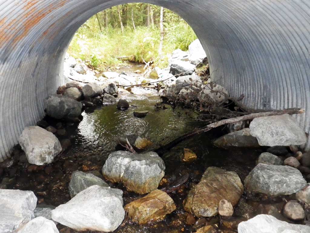
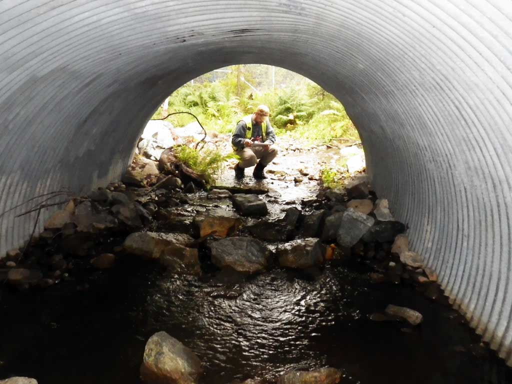
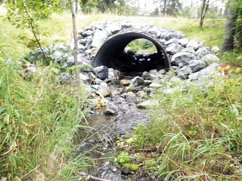
| ID: 1 | Structure Type: Circular pipe (Corrugated Metal) | Fish Passage Rating: | ||||||||||||||||||||||||||||||||||||||||||
|
|
|
||||||||||||||||||||||||||||||||||||||||||
Comments: Stream slope taken from ZOO1 resurvey. Juvenile fish observed downstream from culvert. Lots of big loose rip rap in stream. |
||||||||||||||||||||||||||||||||||||||||||||
Stream Measurements
|
|
| Stream Width Type | Distance From Crossing (ft) |
Stream Width (ft) |
|---|---|---|
| Downstream ordinary high water | 30.0 | 5.50 |
| Downstream ordinary high water | 60.0 | 6.00 |
| Downstream ordinary high water | 100.0 | 8.00 |
Elevations
| Locator ID | Culvert Number |
River Distance (ft)1 |
Distance From Crossing (ft)2 |
Relative Elevation (ft) |
|---|---|---|---|---|
| Road Elev | 102.62 | |||
| D/S Grade Ctrl (Thalweg) | 0.00 | 91.46 | ||
| D/S Water Surface Elev | 0.00 | 91.85 | ||
| D/S Water Surface Elev | 18.00 | 92.06 | ||
| D/S Thalweg (End of outlet riffle) | 18.00 | 91.74 | ||
| Outlet Culvert Top | 28.00 | 98.74 | ||
| Outlet Invert (On substrate) | 28.00 | 92.40 | ||
| D/S Water Surface Elev | 28.00 | 92.74 | ||
| Inlet Culvert Invert | 68.10 | 94.48 | ||
| U/S Water Surface Elev (On substrate, 1st resting) | 68.10 | 94.74 | ||
| Inlet Culvert Top | 68.10 | 100.00 | ||
| U/S Grade Ctrl (Thalweg) | 82.10 | 95.00 | ||
| U/S Water Surface Elev | 82.10 | 95.20 |
Notes:
- River distance is measured continuously throughout the survey reach along the thalweg of the stream.
- Measured from each end of the crossing along the thalweg of the stream.
Fish Sampling Efforts
| Gear Type: Visual Observation, Ground (A) | ||
| Comments: Unidentified juvenile fish observed downstream from culvert | ||
Fish Observations
No fish observations occurred during this survey.
Photos
Questions or comments about this report can be directed to dfg.dsf.webmaster@alaska.gov