Fish Passage Site 20403472
Coordinates (dec. deg.): 61.12636°, -149.79459°
Legal Description: S012N003W15
Region: South Central
Road Name: Zoo Access Road
Datum: NAD83
Quad Name / ITM: Anchorage A-8
AWC Stream #: 247-60-10340-2018-3006
Stream Name: Little Campbell Creek, South Fork
Elevation:
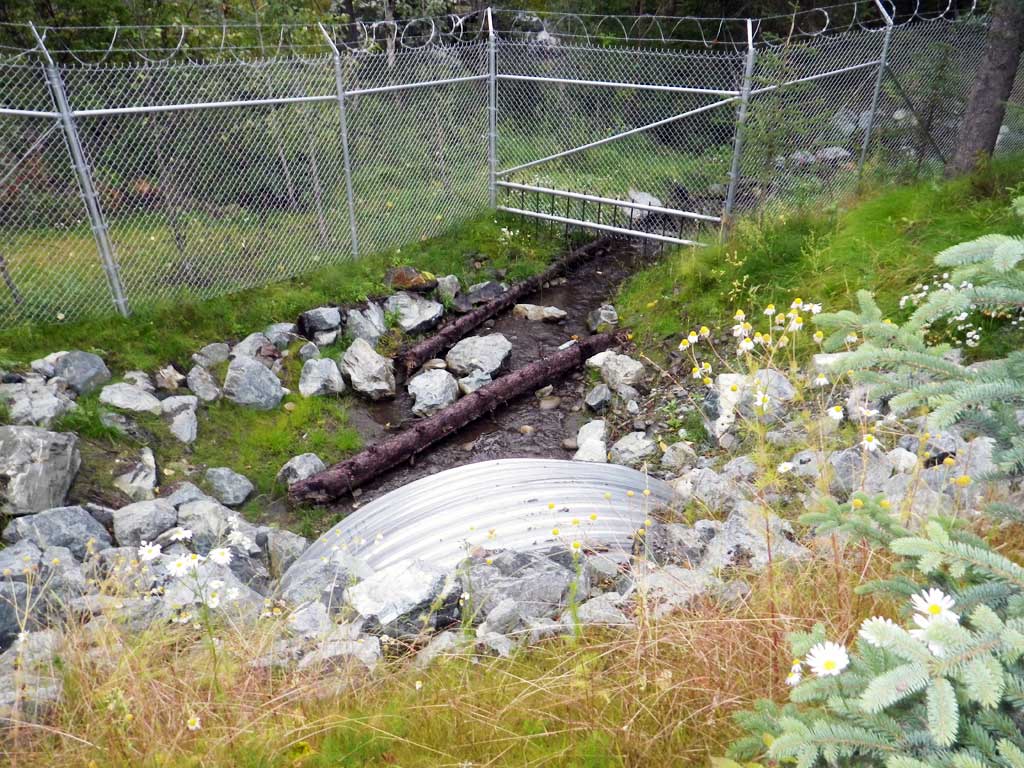
Site Comments: Road is off of E104th Ave.
Survey UPDATE-ZOO1
Project Supervisor: Gillian O'Doherty, ADFG
Observers: Mark Eisenman
Overall Fish Passage Rating:
Tidal: No
Backwatered: No
Step Pools: Yes
Construction Year: 2015
Site Observations:
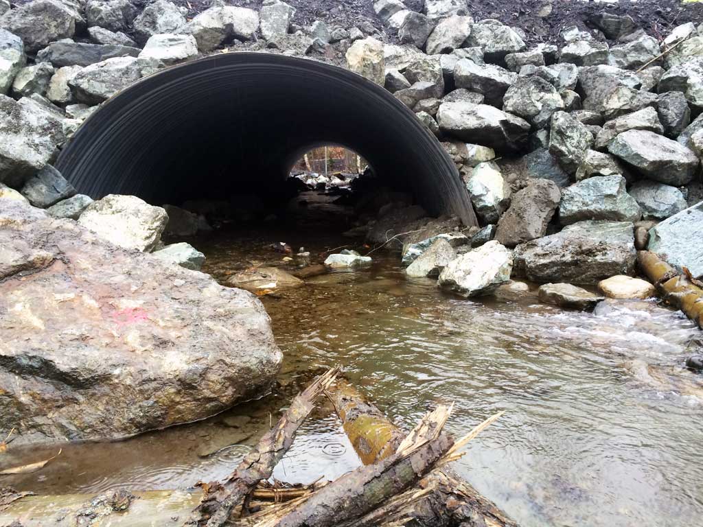
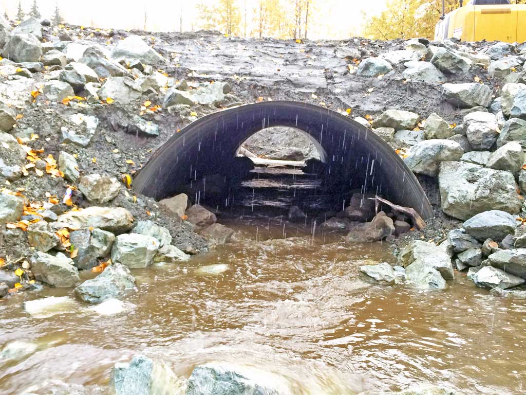
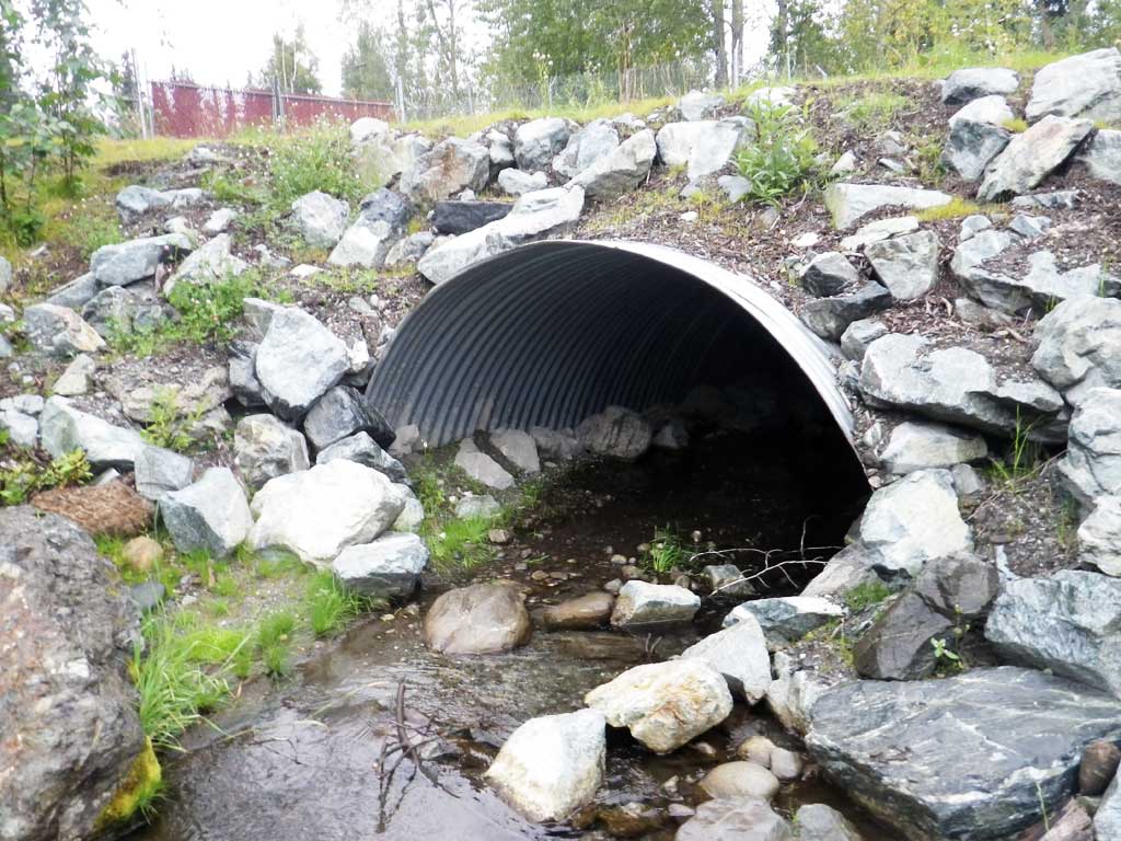
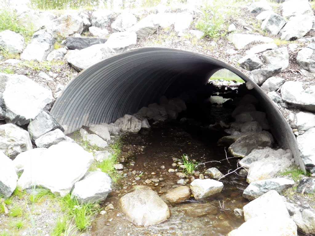
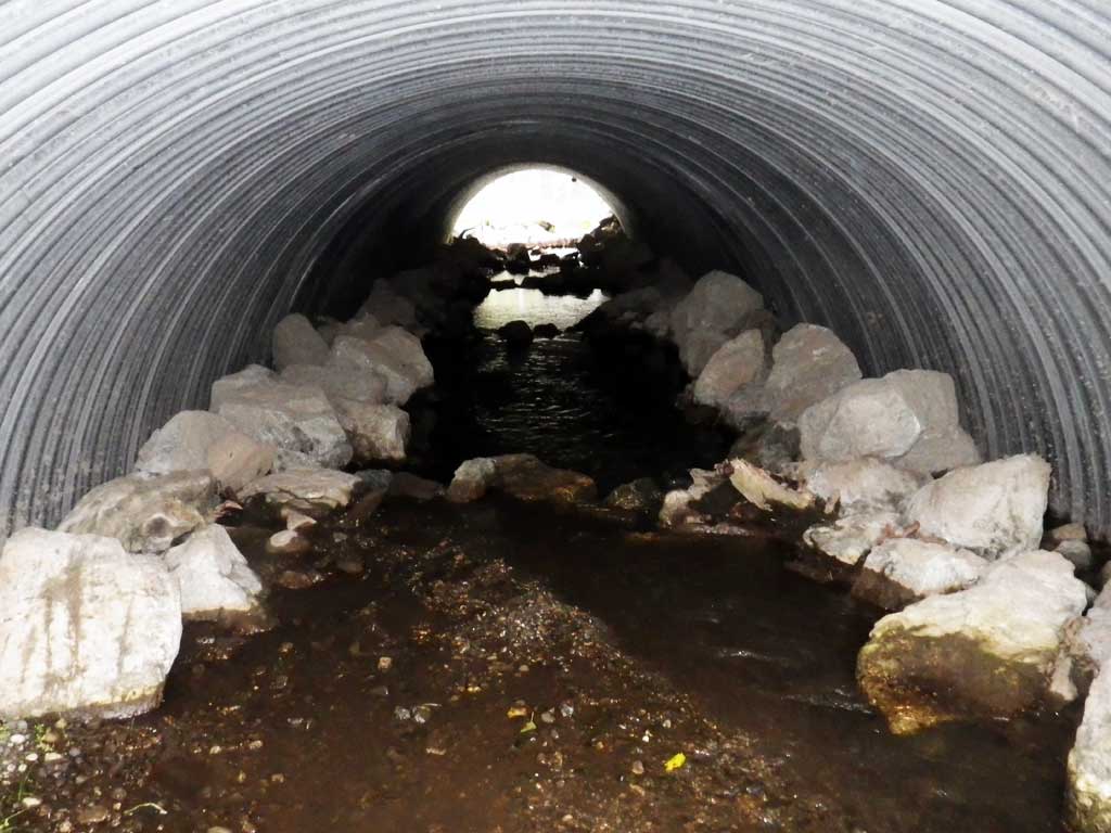
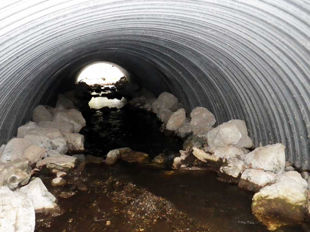
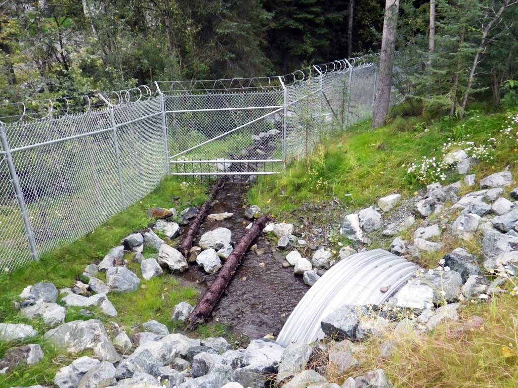
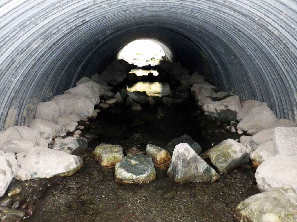
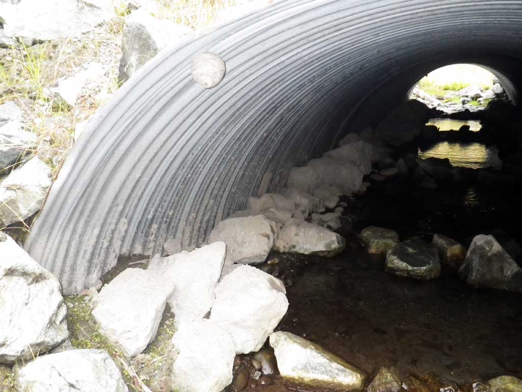
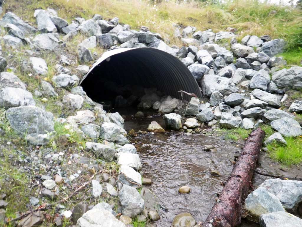
- Culvert is poorly aligned
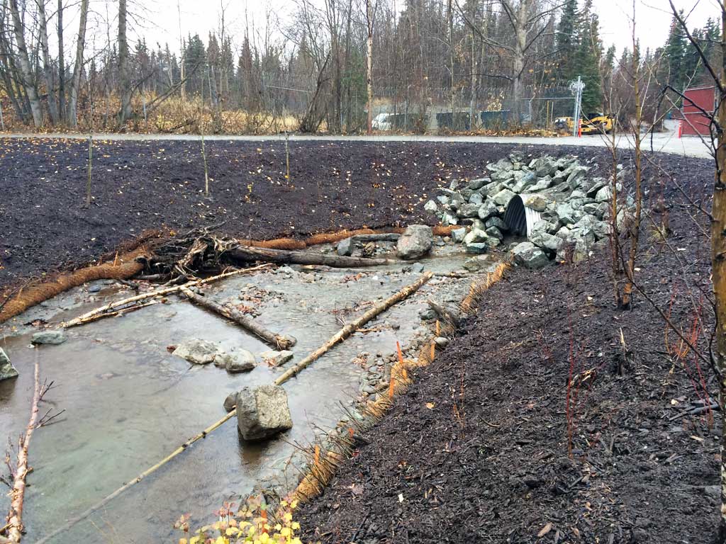
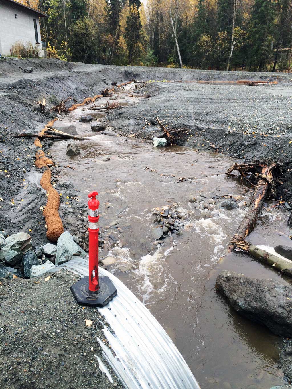
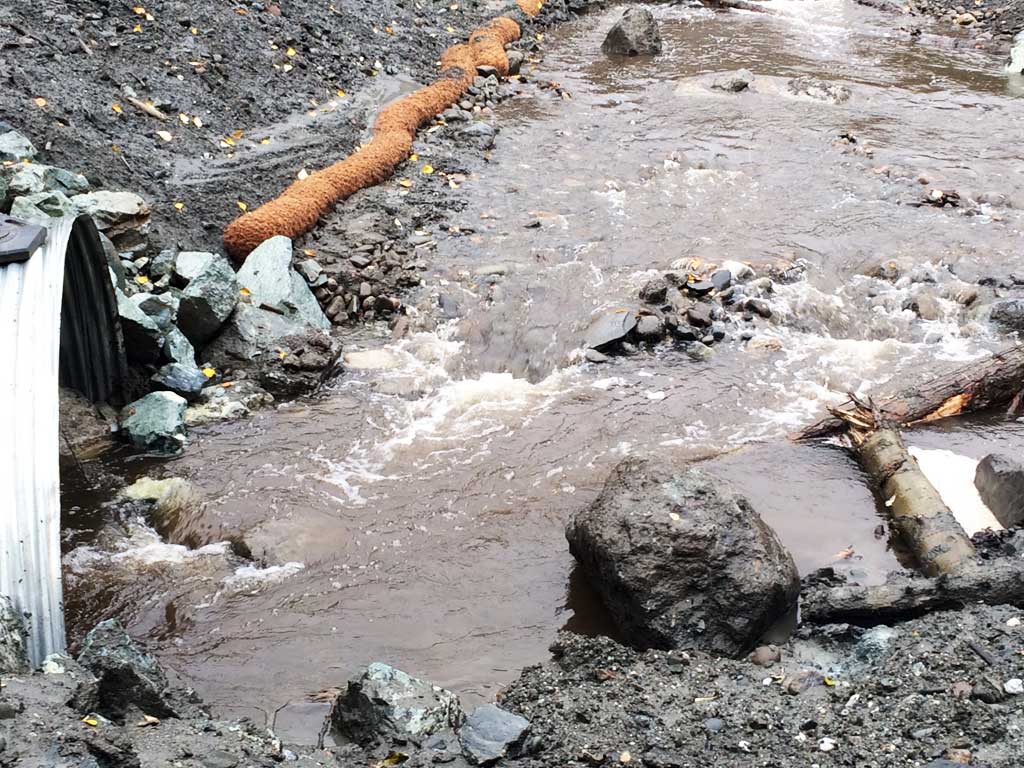
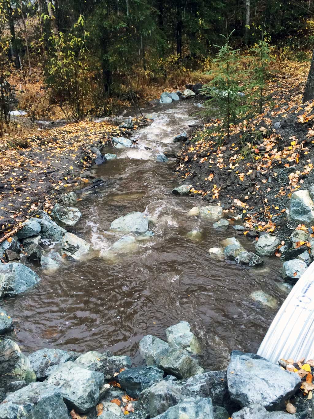
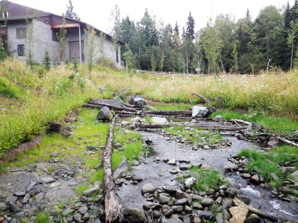
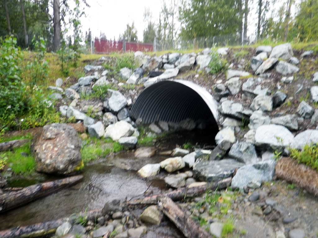
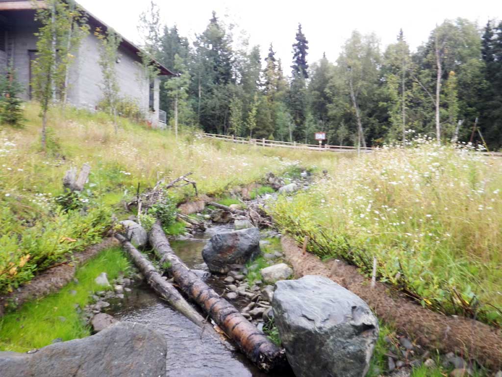
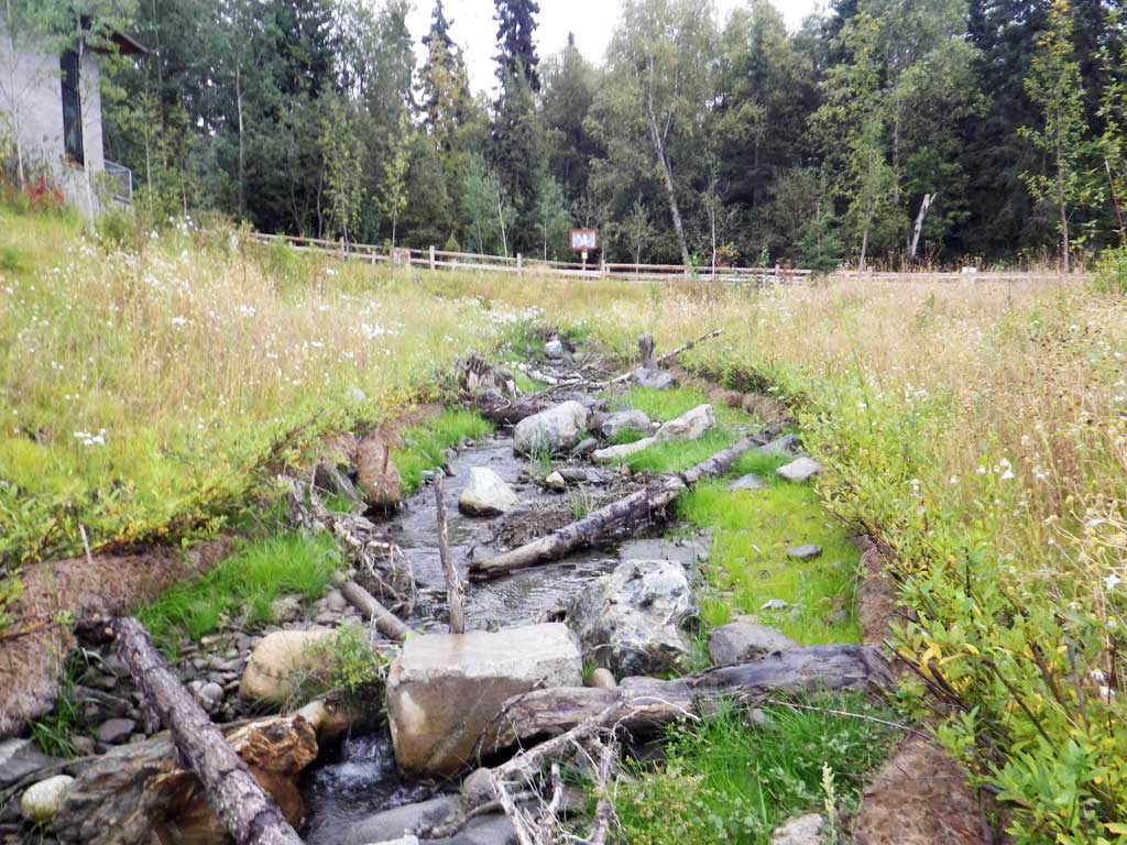
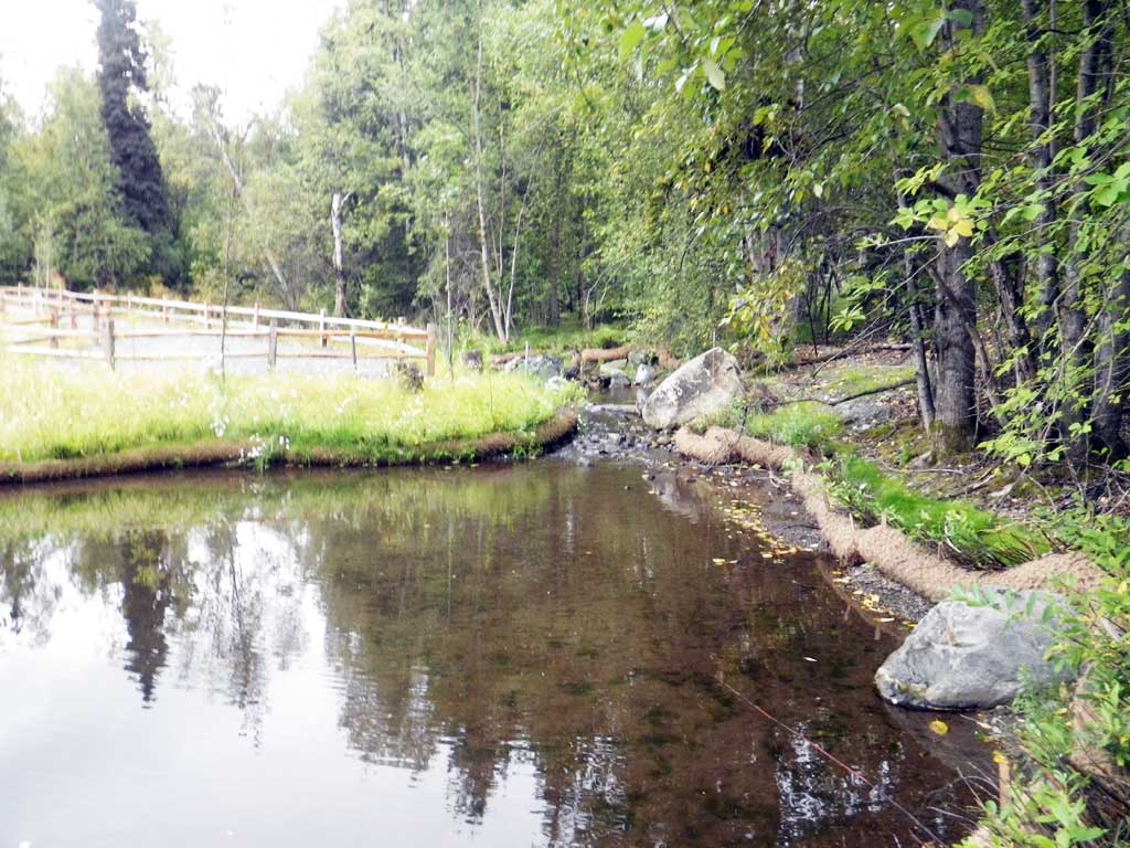
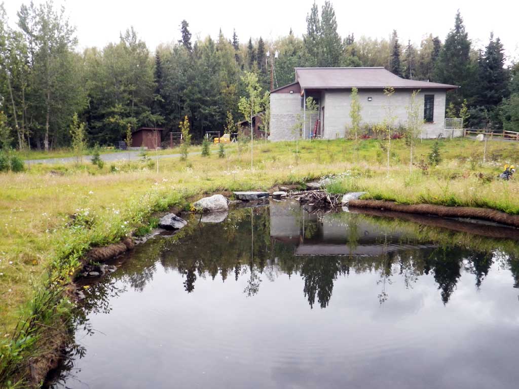
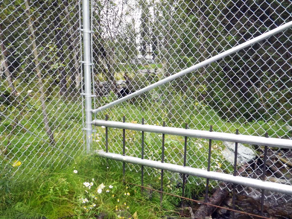
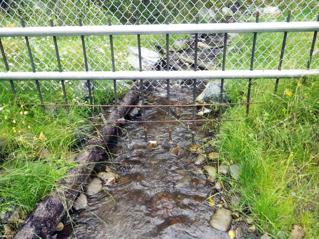
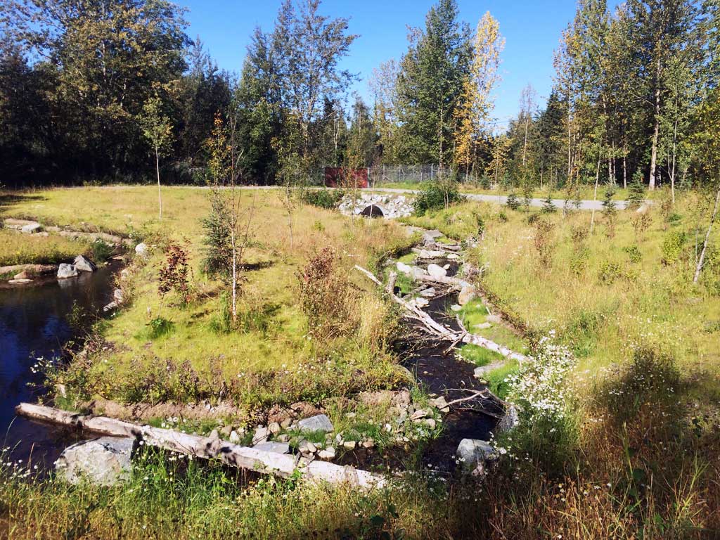
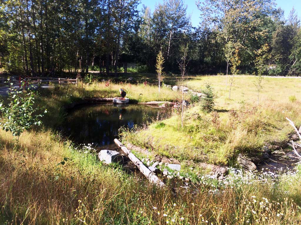
Comments: Culvert was replaced on 9/25/2015 as a priority part of the Little Campbell Creek Watershed Management Plan. Another culvert about 100 feet downstream on a private driveway at the end of E104th Ave was also replaced as part of this project. Bioengineering along stream banks has established well, willow and vegmat have all survived. Zoo fence downstream about 30 feet from outlet. Fish observed upstream in channel and in upstream ponds on zoo property. No trapping, water levels too low in creek.
Culvert Measurements
| ID: 1 | Structure Type: Circular pipe (Corrugated Metal) | Fish Passage Rating: | ||||||||||||||||||||||||||||||||||||||||||
|
|
|
||||||||||||||||||||||||||||||||||||||||||
Comments: Lots of silty sediment inside of culvert. Nice constructed step pools inside barrel of culvert. |
||||||||||||||||||||||||||||||||||||||||||||
Culvert Observations:
|
||||||||||||||||||||||||||||||||||||||||||||
Stream Measurements
|
|
No stream width data available.
Elevations
| Locator ID | Culvert Number |
River Distance (ft)1 |
Distance From Crossing (ft)2 |
Relative Elevation (ft) |
|---|---|---|---|---|
| Road Elev | 103.13 | |||
| D/S Thalweg (At zoo fence line) | 0.00 | 92.02 | ||
| D/S Water Surface Elev | 0.00 | 92.24 | ||
| D/S Water Surface Elev | 9.00 | 92.41 | ||
| D/S Thalweg (Middle of outlet riffle) | 9.00 | 92.20 | ||
| Outlet Culvert Top | 23.60 | 98.35 | ||
| Outlet Invert (On substrate) | 23.60 | 92.60 | ||
| D/S Water Surface Elev | 23.60 | 92.93 | ||
| Inlet Culvert Invert (On substrate, 1st resting) | 94.30 | 94.42 | ||
| U/S Water Surface Elev | 94.30 | 94.52 | ||
| Inlet Culvert Top | 94.30 | 100.00 | ||
| U/S Grade Ctrl (Thalweg) | 114.30 | 95.05 | ||
| U/S Water Surface Elev (Stream gradient) | 114.30 | 95.42 | ||
| U/S Grade Ctrl (Thalweg) | 263.30 | 99.07 | ||
| U/S Water Surface Elev (Stream gradient) | 263.30 | 99.35 |
Notes:
- River distance is measured continuously throughout the survey reach along the thalweg of the stream.
- Measured from each end of the crossing along the thalweg of the stream.
Fish Sampling Efforts
No fish sampling occurred during this survey.
Fish Observations
No fish observations occurred during this survey.
Photos


Questions or comments about this report can be directed to dfg.dsf.webmaster@alaska.gov