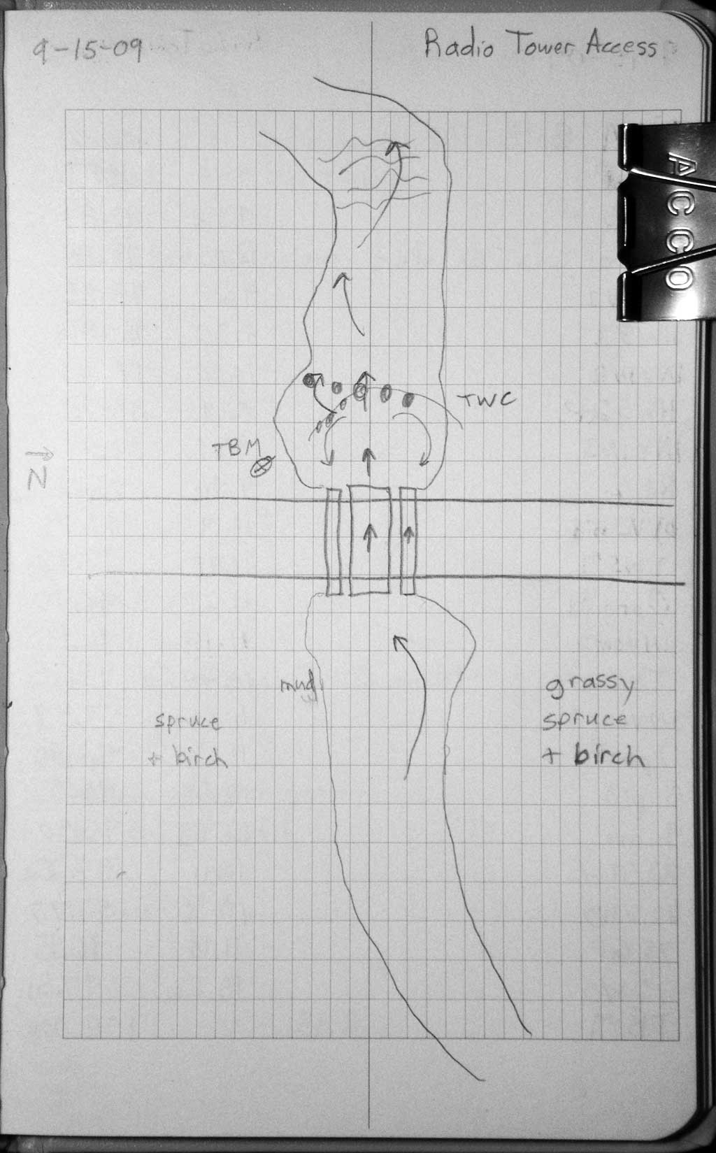
Fish Passage Site 20401888
Coordinates (dec. deg.): 61.17599°, -149.78523°
Legal Description: S013N003W34
Region: South Central
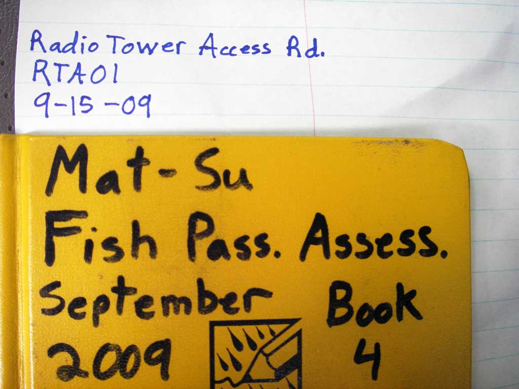
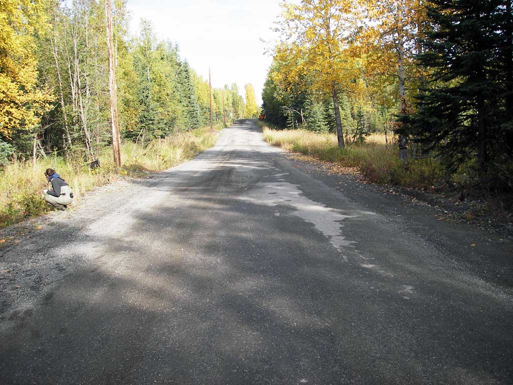
Road Name: Radio Tower Access Road
Datum: NAD83
Quad Name / ITM: Anchorage A-8
AWC Stream #: 247-60-10340-2021
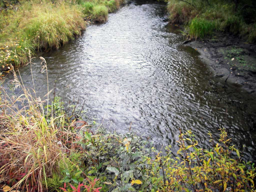
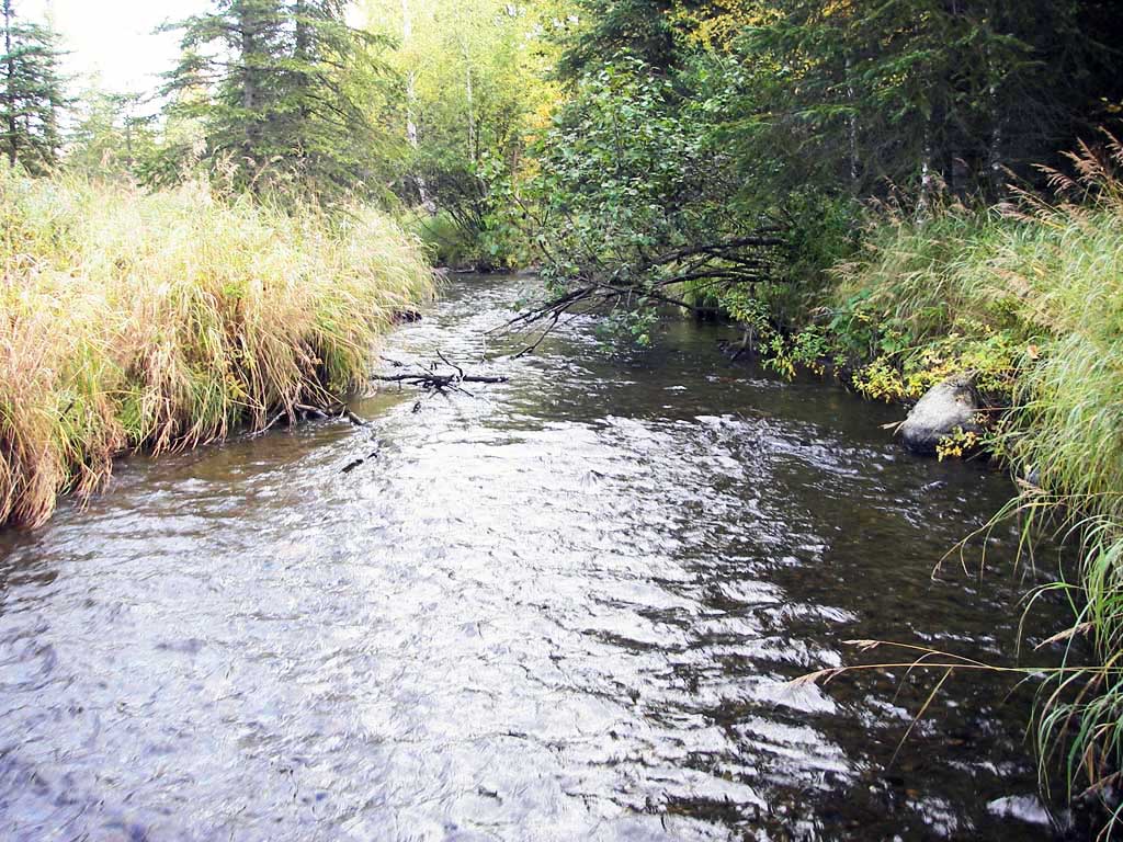
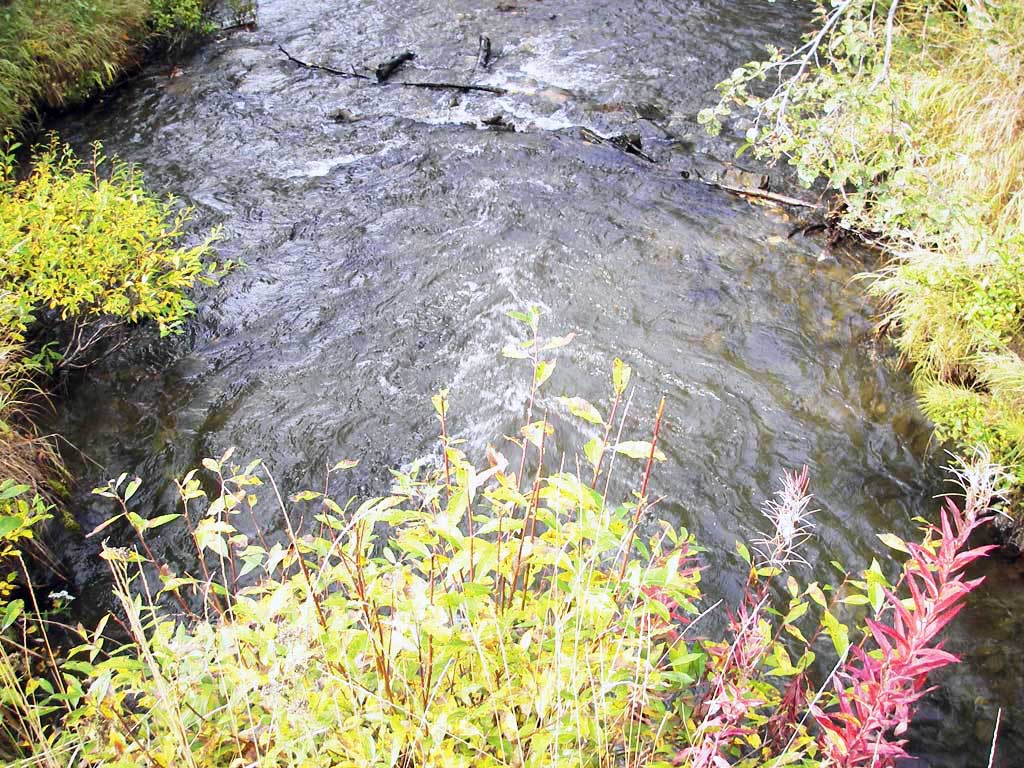
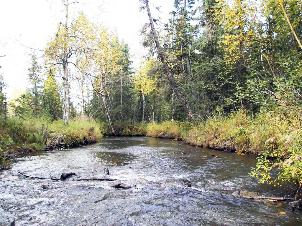
Stream Name: North Fork Campbell Creek
Elevation:
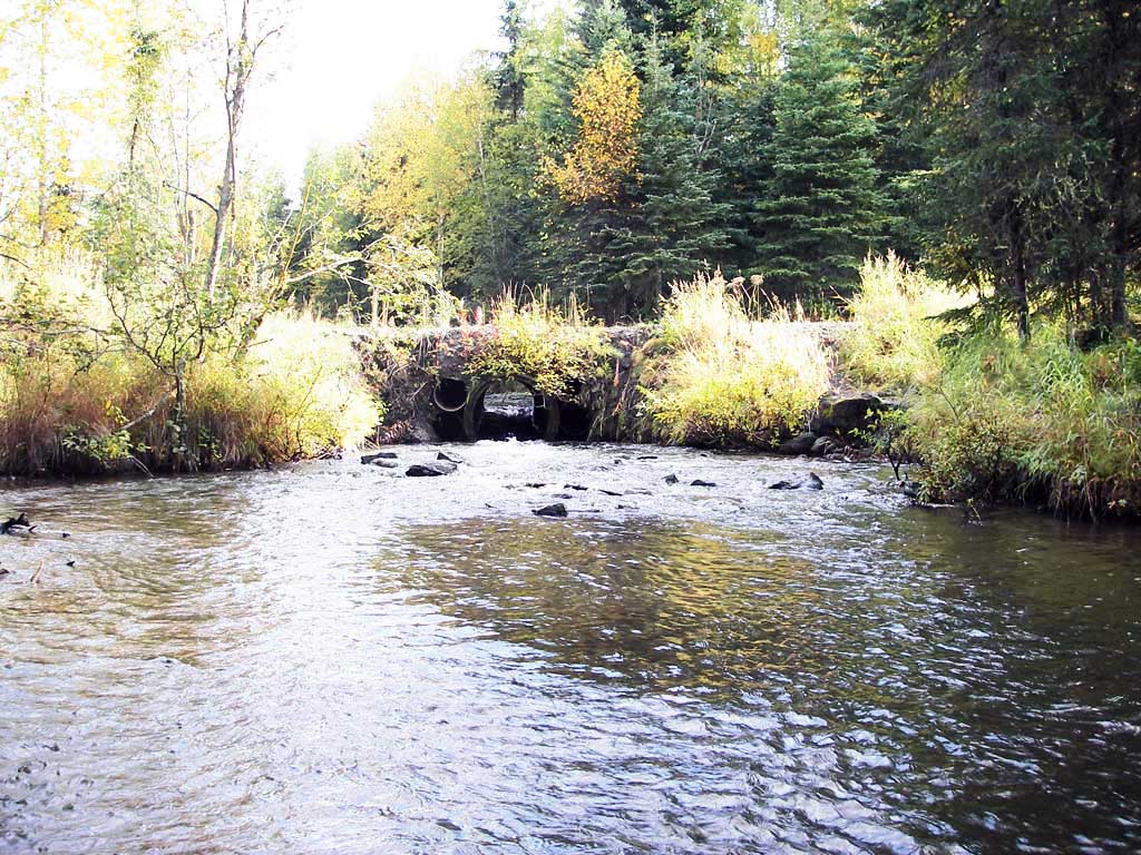
Site Comments: Located on the state-owned road leading to the radio tower and DOT maintenance yard in Bicentennial Park.
Survey UPDATE-RTA01
Project Supervisor: Gillian O'Doherty, ADFG
Observers: Gillian O'Doherty, Ben Histand, Heidi Zimmer
Overall Fish Passage Rating:
Tidal: No
Backwatered: No
Step Pools: No
Construction Year:
Site Observations:
- Constriction ratio red
- Culvert gradient red
- Inlet perch
- Material inadequate for designed use
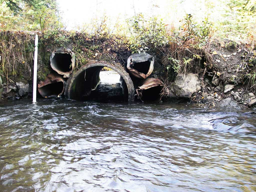
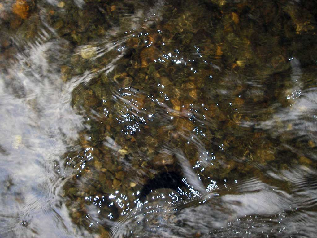
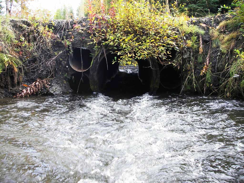
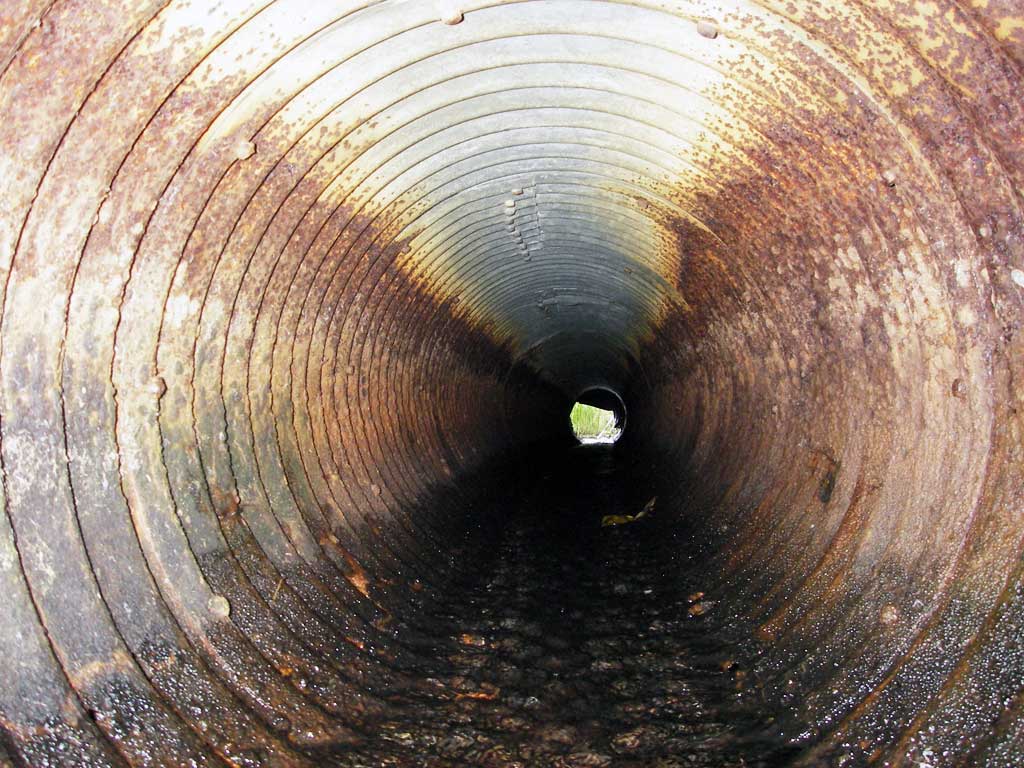
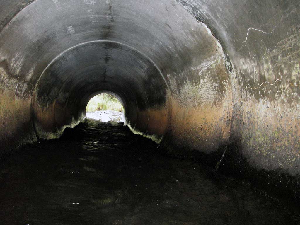
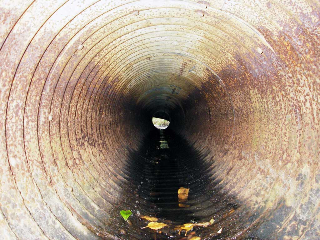
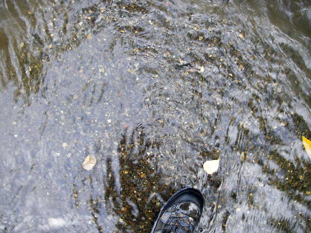
Comments: Spot velocities taken during survey at low water were 3.12 ft/s at the inlet and 7.46 ft/s at the outlet. Velocities very high in concrete pipe. Debris regularly blocks inlet. Adult salmonid was observed repeatedly trying to enter the pipe and failing. Overflow pipes are rusted through. Two additional overflow pipes above the two small pipes surveyed, not wet during regular flows.
Culvert Measurements
| ID: 1 | Structure Type: Circular pipe (Corrugated steel) | Fish Passage Rating: | |||||||||||||||||||||||||||||||||||||||||
|
|
|
|||||||||||||||||||||||||||||||||||||||||
Culvert Observations:
|
|||||||||||||||||||||||||||||||||||||||||||
| ID: 2 | Structure Type: Circular pipe (Reinforced concrete) | Fish Passage Rating: | |||||||||||||||||||||||||||||||||||||||||
|
|
|
|||||||||||||||||||||||||||||||||||||||||
Culvert Observations:
|
|||||||||||||||||||||||||||||||||||||||||||
| ID: 3 | Structure Type: Circular pipe (Corrugated steel) | Fish Passage Rating: | |||||||||||||||||||||||||||||||||||||||||
|
|
|
|||||||||||||||||||||||||||||||||||||||||
Culvert Observations:
|
|||||||||||||||||||||||||||||||||||||||||||
Stream Measurements
|
|
| Stream Width Type | Distance From Crossing (ft) |
Stream Width (ft) |
|---|---|---|
| Upstream ordinary high water | 125.0 | 15.70 |
| Upstream ordinary high water | 172.0 | 13.75 |
| Upstream ordinary high water | 220.0 | 11.00 |
Elevations
| Locator ID | Culvert Number |
River Distance (ft)1 |
Distance From Crossing (ft)2 |
Relative Elevation (ft) |
|---|---|---|---|---|
| D/S Grade Ctrl (Thalweg) | 0.00 | 75.0 | 96.95 | |
| D/S Water Surface Elev | 0.00 | 75.0 | 97.51 | |
| D/S Water Surface Elev (turbulent) | 52.50 | 22.5 | 97.77 | |
| D/S Tailcrest or 1st Thalweg | 52.50 | 22.5 | 97.22 | |
| D/S Thalweg (bottom of pool) | 66.00 | 9.0 | 95.50 | |
| D/S Thalweg | 70.00 | 5.0 | 95.55 | |
| D/S Thalweg | 3 | 75.00 | 0.0 | 96.80 |
| D/S Thalweg | 1 | 75.00 | 0.0 | 96.90 |
| Outlet Invert | 2 | 75.00 | 0.0 | 96.98 |
| Outlet Invert | 1 | 75.00 | 0.0 | 97.94 |
| Outlet Pool Water Elev | 1 | 75.00 | 0.0 | 97.73 |
| Outlet Pool Water Elev | 2 | 75.00 | 0.0 | 97.75 |
| Outlet Pool Water Elev | 3 | 75.00 | 0.0 | 97.75 |
| Outlet Invert | 3 | 75.00 | 0.0 | 97.47 |
| Road Elev | 91.00 | 103.17 | ||
| U/S Headwater | 1 | 107.00 | 0.0 | 98.83 |
| Inlet Culvert Invert | 1 | 107.00 | 0.0 | 98.85 |
| Inlet Culvert Invert | 3 | 107.00 | 0.0 | 98.59 |
| U/S Headwater | 2 | 107.00 | 0.0 | 98.74 |
| U/S Headwater | 3 | 107.00 | 0.0 | 98.74 |
| Inlet Culvert Invert | 2 | 107.00 | 0.0 | 97.33 |
| U/S Thalweg (u/s top of scour hole @ inlet) | 112.50 | 5.5 | 98.13 | |
| U/S Grade Ctrl (Thalweg) (1st grade pt u/s in thalweg) | 119.00 | 12.0 | 98.15 | |
| U/S Water Surface Elev | 119.00 | 12.0 | 98.81 |
Notes:
- River distance is measured continuously throughout the survey reach along the thalweg of the stream.
- Measured from each end of the crossing along the thalweg of the stream.
Fish Sampling Efforts
No fish sampling occurred during this survey.
Fish Observations
No fish observations occurred during this survey.
Photos
Questions or comments about this report can be directed to dfg.dsf.webmaster@alaska.gov