Fish Passage Site 20401455
Coordinates (dec. deg.): 61.55591°, -149.24984°
Legal Description: S017N001E22
Region: South Central
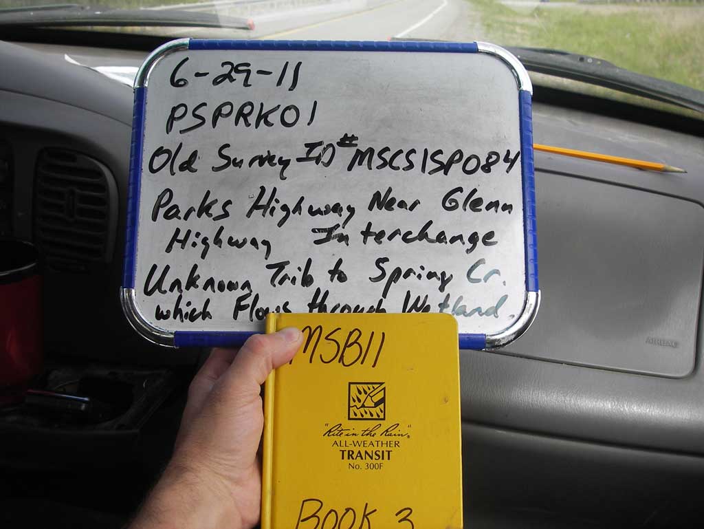
Road Name: Parks Highway
Datum: NAD83
Quad Name / ITM: Anchorage C-6
AWC Stream #: 247-50-10260-2019-3030
Stream Name: Spring Creek
Elevation:
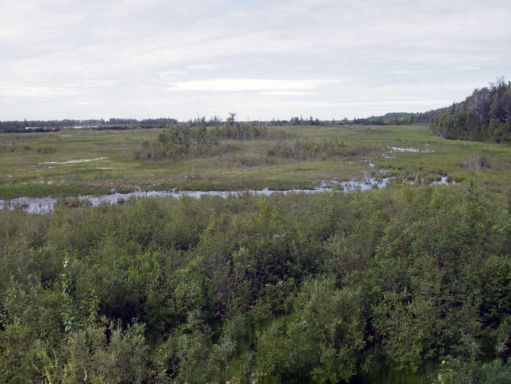
Site Comments: MATANUSKA LAKE WATERSHED
arrow to the right of the survey date below to choose a different report for this site.
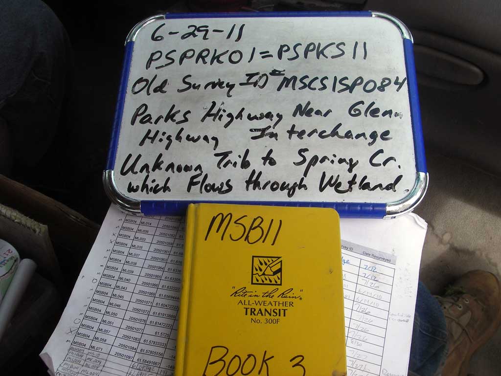
Survey MSB11-PSPKS11
Project Supervisor: Gillian O'Doherty, Alaska Department of Fish and Game
— Anchorage, AK
Observers: John Greuey, Abraham Gioffre
Overall Fish Passage Rating:
Tidal: No
Backwatered: Maybe
Step Pools: No
Construction Year:
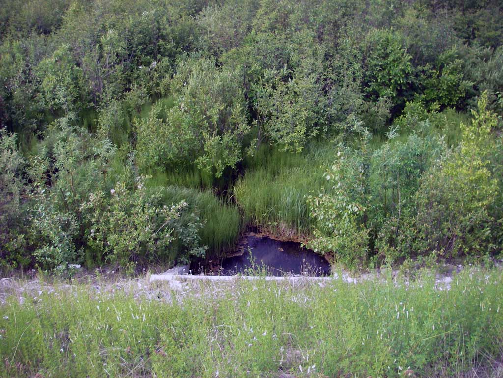
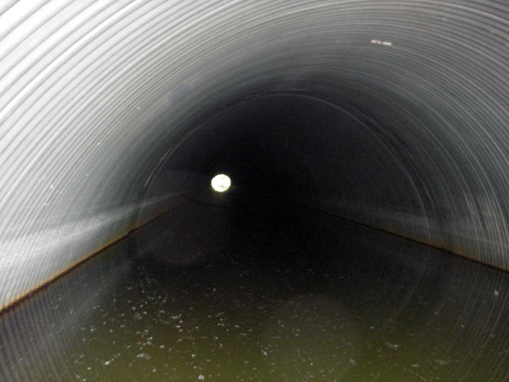
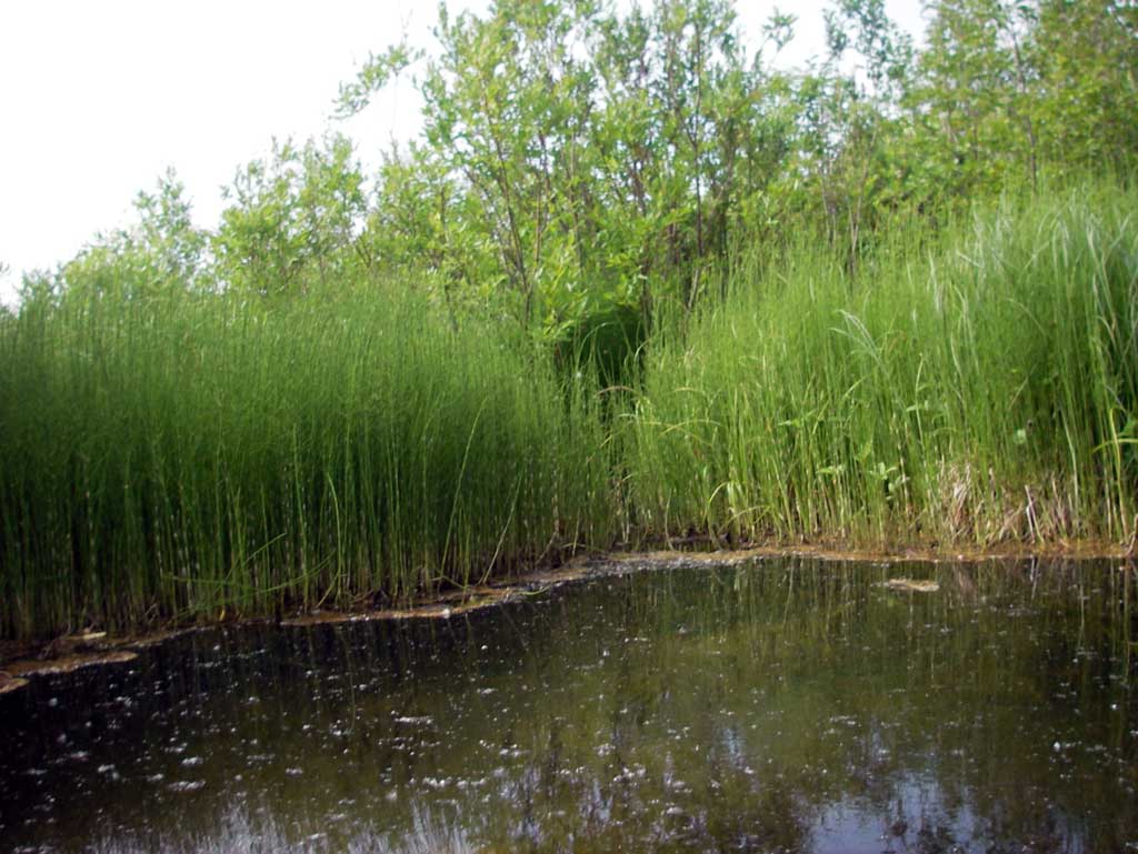
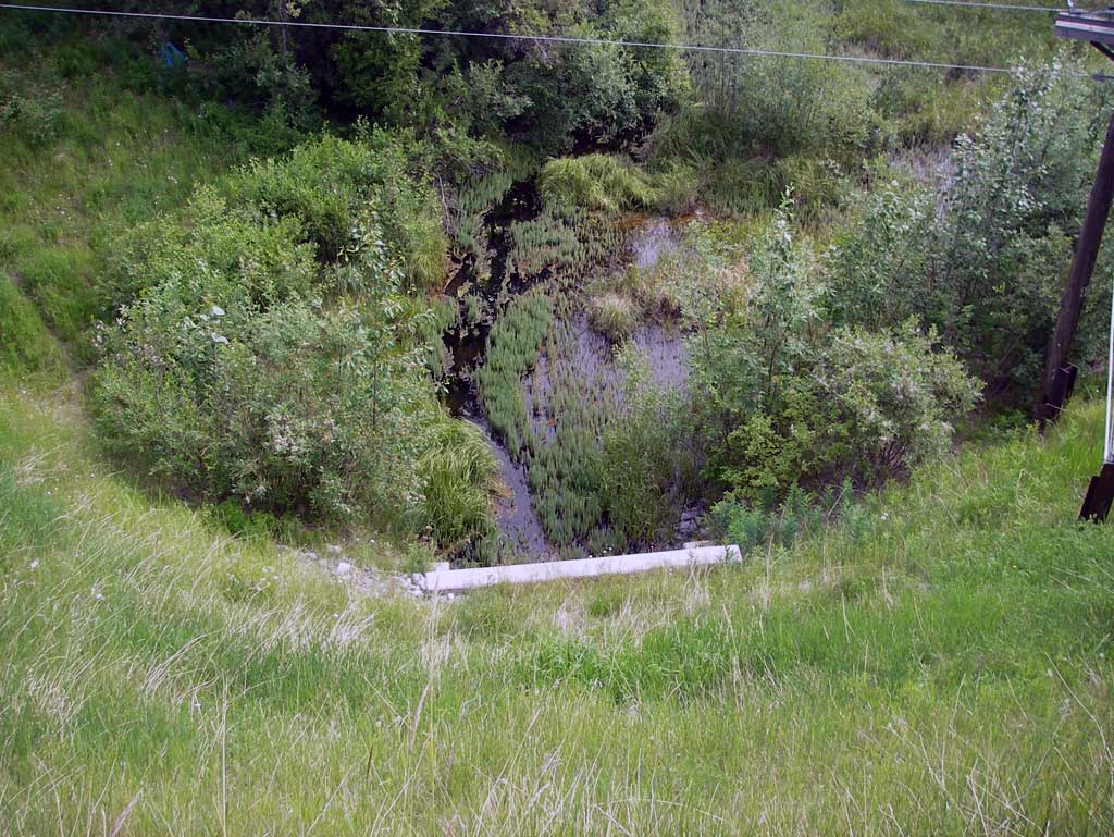
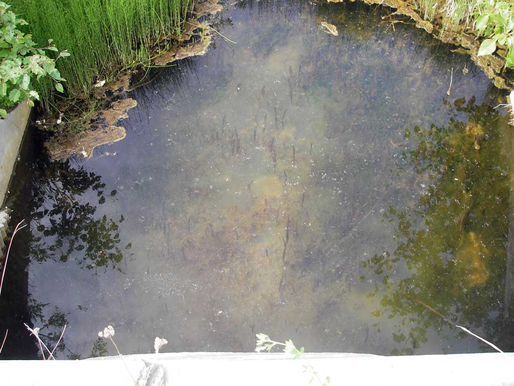
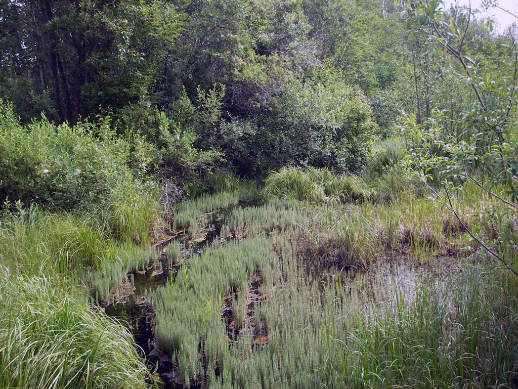
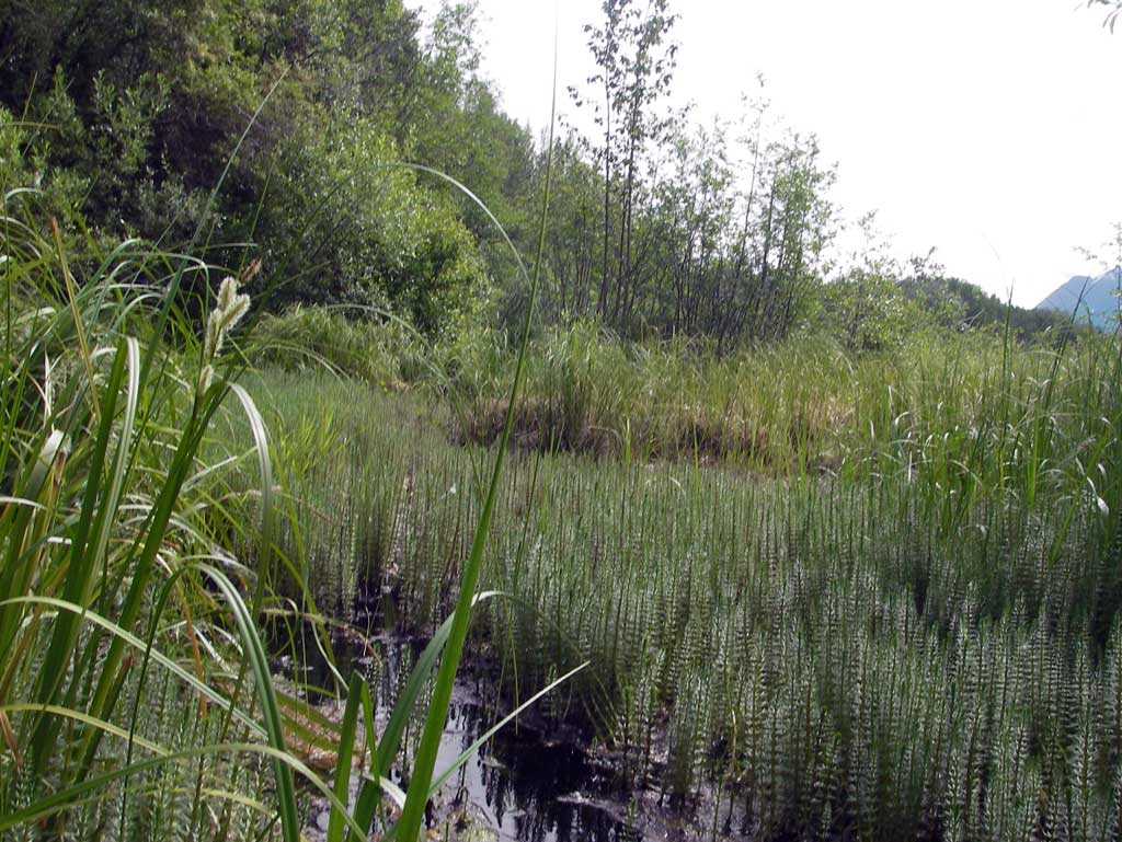
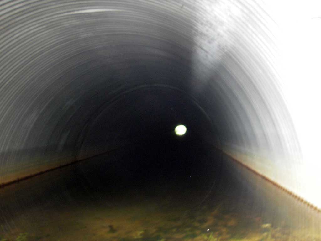
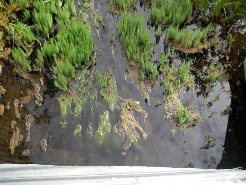
Comments: Photo survey done as the culvert goes under two frontage roads as well as the Parks Highway just north of the Glenn Highway interchange. Site is located at a very busy highway and contains near 100' of road fill above culvert and water depth throughout the entire culvert is flat with near 4' of water depth. Culvert connects the marshy Palmer Hayflats area on dwst side to a wetlands on the east side of the highway. No real defined channel.
Culvert Measurements
| ID: 1 | Structure Type: Circular pipe (Corrugated steel) | Fish Passage Rating: | |||||||||||||||||||||||||||||||||||||||||
|
|
|
|||||||||||||||||||||||||||||||||||||||||
Stream Measurements
|
|
No stream width data available.
Elevations
No elevation data available.
Fish Sampling Efforts
No fish sampling occurred during this survey.
Fish Observations
No fish observations occurred during this survey.
Photos
Questions or comments about this report can be directed to dfg.dsf.webmaster@alaska.gov