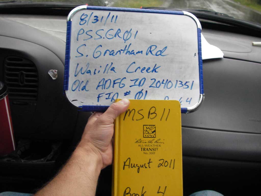
Fish Passage Site 20401351
Coordinates (dec. deg.): 61.57254°, -149.30899°
Legal Description: S017N001E08
Region: South Central
Road Name: South Grantham Road
Datum: NAD83
Quad Name / ITM: Anchorage C-7
AWC Stream #: 247-50-10260-2019
Stream Name: Wasilla Creek
Elevation:
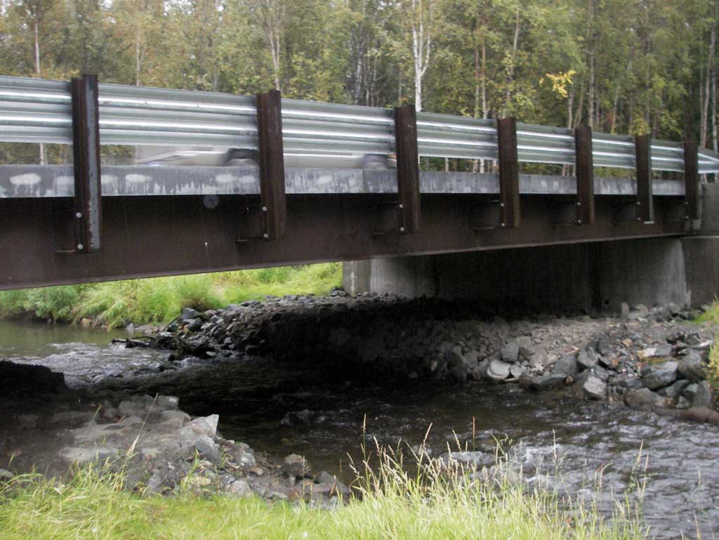
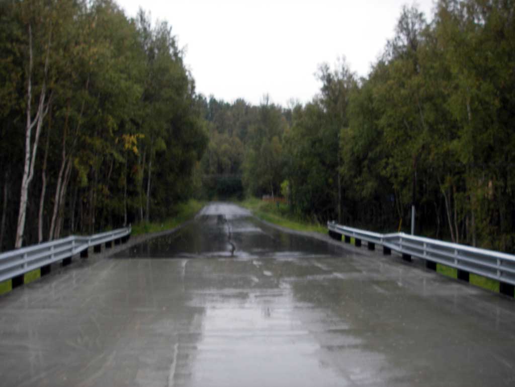
Site Comments: Site is now a bridge. South Grantham off Hyer Road.
arrow to the right of the survey date below to choose a different report for this site.
Survey MSB11-PSSGR01
Project Supervisor: Gillian O'Doherty, Alaska Department of Fish and Game
— Anchorage, AK
Observers: John Greuey, Abraham Gioffre
Overall Fish Passage Rating:
Tidal:
Backwatered:
Step Pools:
Construction Year: 2010
Comments: Site was replaced with a bridge in 2005. See photos.
Culvert Measurements
No measurement data available.
Stream Measurements
|
|
No stream width data available.
Elevations
No elevation data available.
Fish Sampling Efforts
No fish sampling occurred during this survey.
Fish Observations
No fish observations occurred during this survey.
Photos
Questions or comments about this report can be directed to dfg.dsf.webmaster@alaska.gov