Fish Passage Site 20401335
Coordinates (dec. deg.): 61.63222°, -149.20032°
Legal Description: S018N001E24
Region: South Central
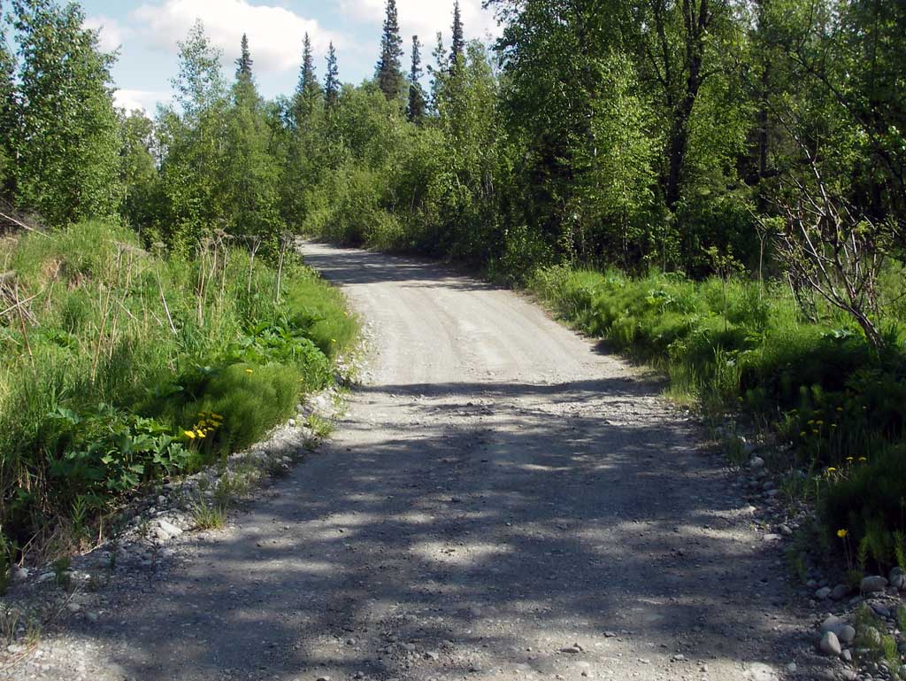
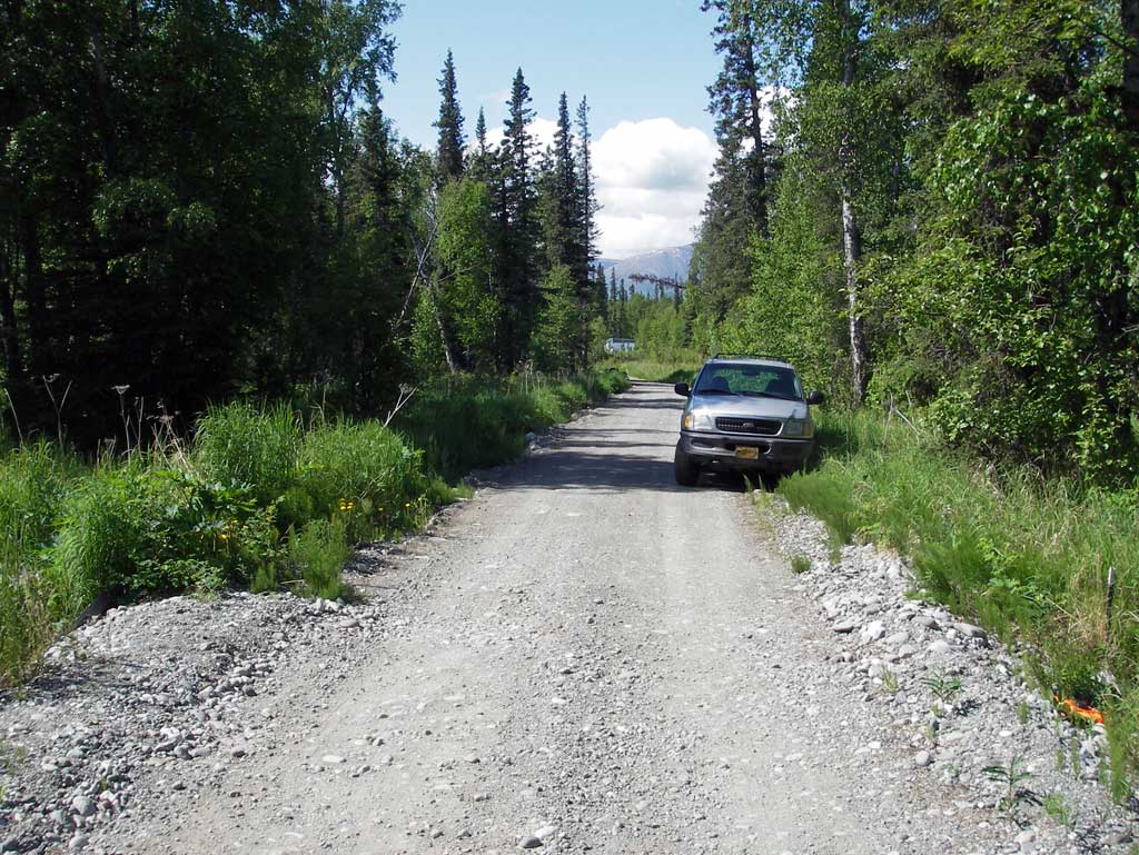
Road Name: private drive
Datum: NAD83
Quad Name / ITM: Anchorage C-6
AWC Stream #: 247-50-10260-2019
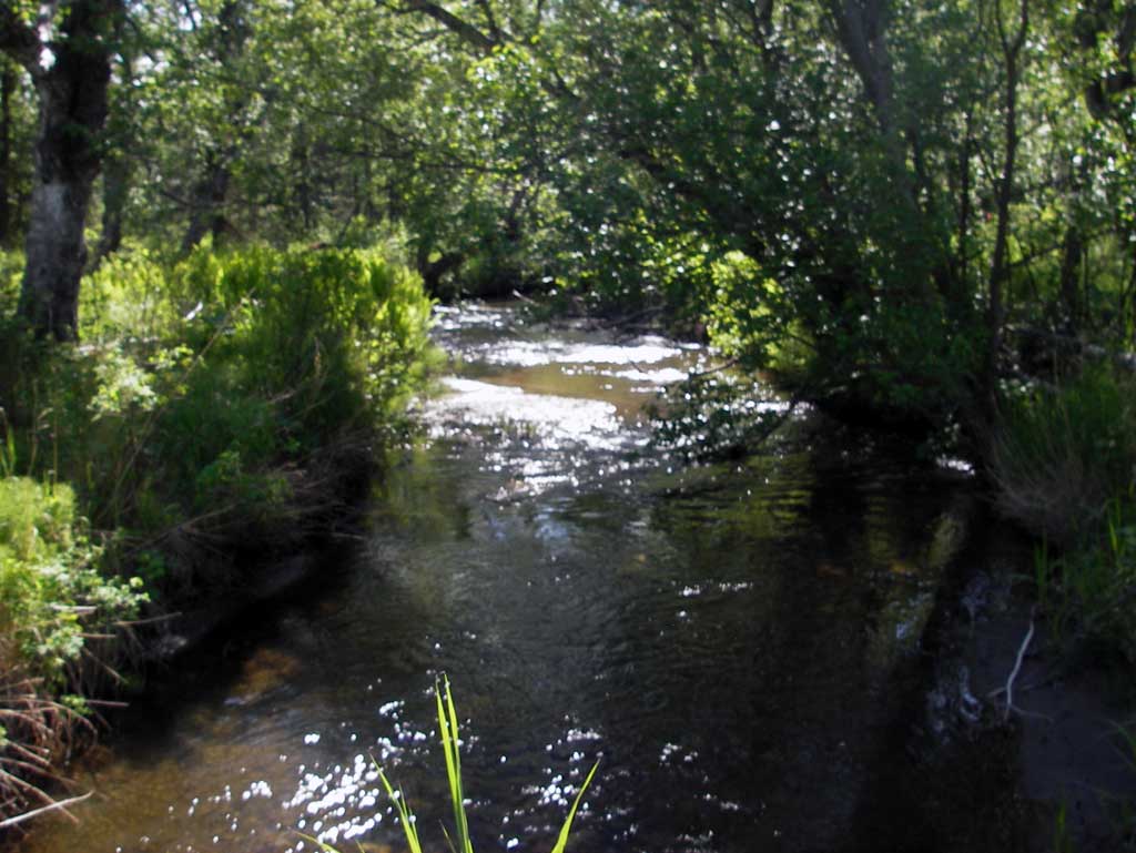
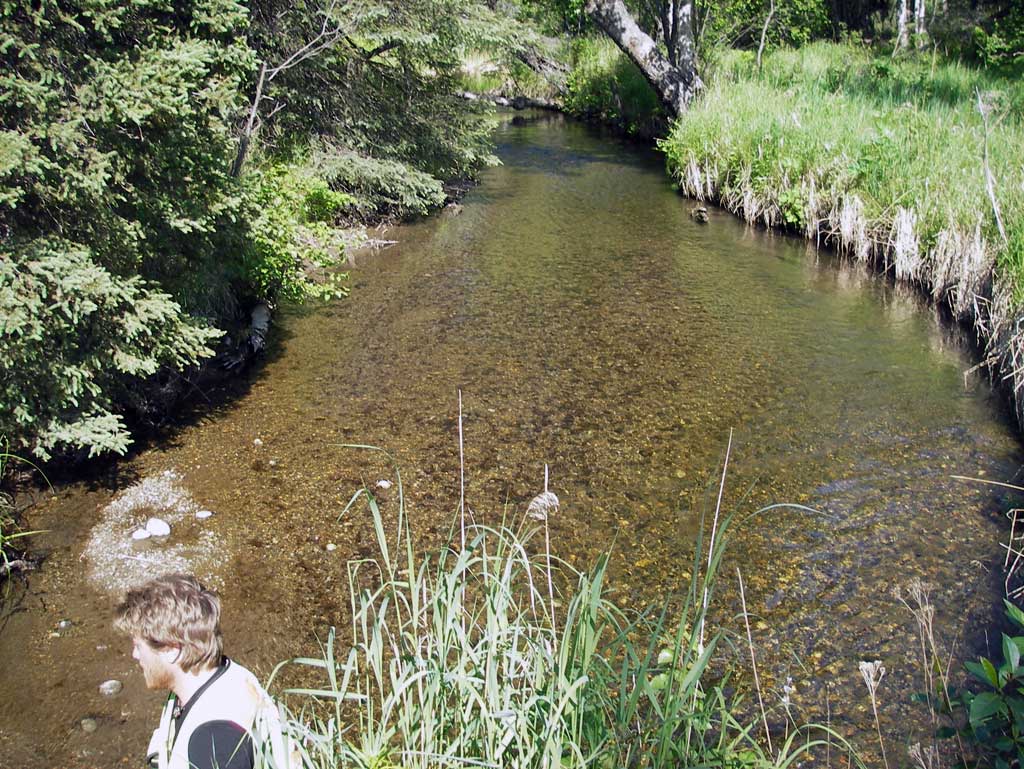
Stream Name: Wasilla Creek
Elevation:
Site Comments: None
arrow to the right of the survey date below to choose a different report for this site.
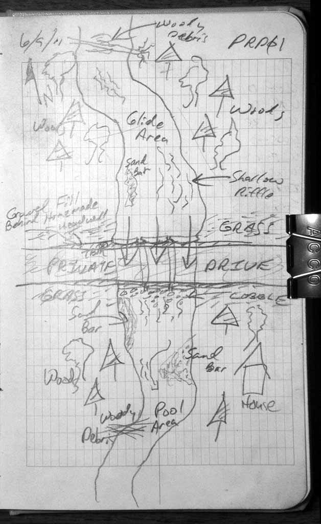
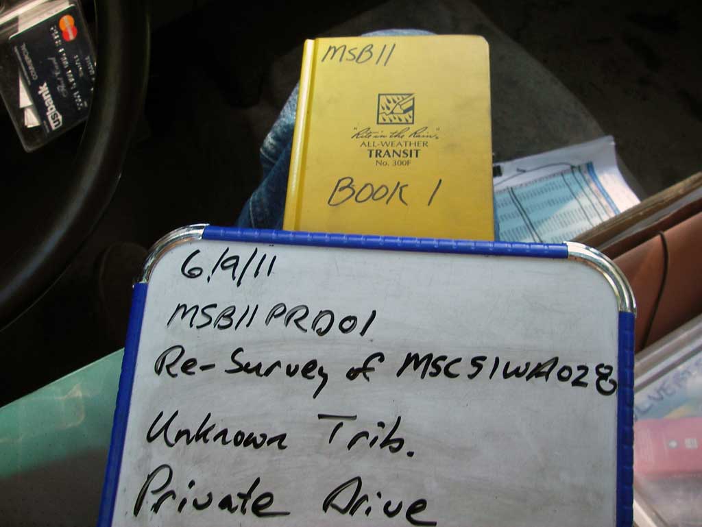
Survey MSB11-PRD01
Project Supervisor: Gillian O'Doherty, Alaska Department of Fish and Game
— Anchorage, AK
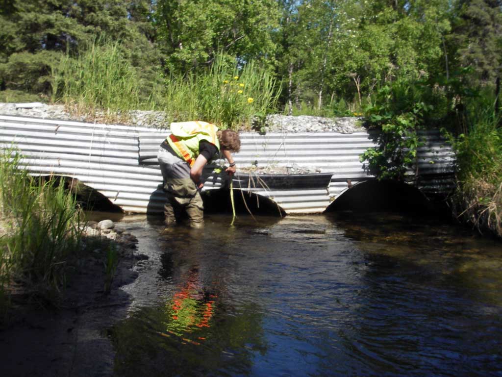
Observers: John Greuey, Abraham Gioffre
Overall Fish Passage Rating:
Tidal: No
Backwatered: No
Step Pools: No
Construction Year:
Site Observations:
- Constriction ratio gray
- Sediment accumulation
- Structural Problem
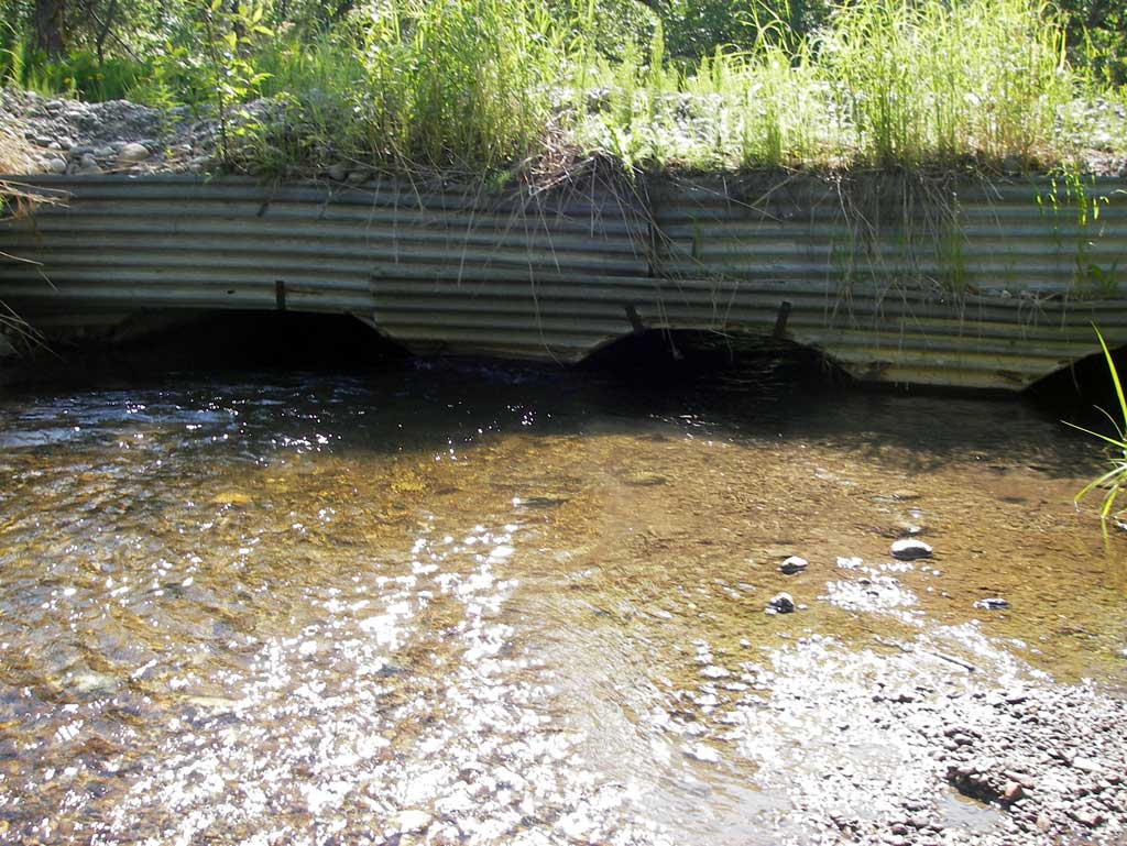
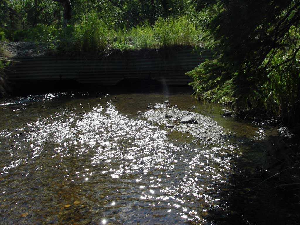
Comments: Three parallel culverts with homemade headwall constructed of corrugated metal roofing with stakes filled with gravel behind it to make new road surface over three pipes. Outlets of pipes contained piled up cobble creating a flow restriction. Water level through all pipes was near equal. Long profile starts upstream. The constriction ratio calculation for multiple circular pipes was used even though the three pipes were open bottom arch pipes or circular pipes which acted as an embedded structure. Pipes had 100% bedload a
Culvert Measurements
| ID: 1 | Structure Type: Open-bottom arch (Corrugated steel) | Fish Passage Rating: | |||||||||||||||||||||||||||||||||||||||||
|
|
|
|||||||||||||||||||||||||||||||||||||||||
Culvert Observations:
|
|||||||||||||||||||||||||||||||||||||||||||
| ID: 2 | Structure Type: Open-bottom arch (Corrugated steel) | Fish Passage Rating: | |||||||||||||||||||||||||||||||||||||||||
|
|
|
|||||||||||||||||||||||||||||||||||||||||
Culvert Observations:
|
|||||||||||||||||||||||||||||||||||||||||||
| ID: 3 | Structure Type: Open-bottom arch (Corrugated steel) | Fish Passage Rating: | |||||||||||||||||||||||||||||||||||||||||
|
|
|
|||||||||||||||||||||||||||||||||||||||||
Culvert Observations:
|
|||||||||||||||||||||||||||||||||||||||||||
Stream Measurements
|
|
| Stream Width Type | Distance From Crossing (ft) |
Stream Width (ft) |
|---|---|---|
| Upstream ordinary high water | 157.0 | 12.50 |
| Upstream ordinary high water | 200.0 | 12.30 |
| Upstream ordinary high water | 230.0 | 13.00 |
Elevations
| Locator ID | Culvert Number |
River Distance (ft)1 |
Distance From Crossing (ft)2 |
Relative Elevation (ft) |
|---|---|---|---|---|
| U/S Grade Ctrl (Thalweg) | 0.00 | 94.68 | ||
| U/S Water Surface Elev | 0.00 | 95.26 | ||
| U/S Grade Ctrl (Thalweg) | 38.00 | 94.14 | ||
| U/S Water Surface Elev | 38.00 | 95.14 | ||
| U/S Water Surface Elev | 65.00 | 95.10 | ||
| U/S Thalweg (Thalweg point on pool) | 65.00 | 93.52 | ||
| Inlet Culvert Invert (Left side of diagram) | 3 | 90.00 | 93.58 | |
| Inlet Culvert Invert (Right side of diagram) | 1 | 90.00 | 93.31 | |
| Inlet Culvert Invert | 2 | 90.00 | 93.49 | |
| U/S Water Surface Elev (Water surface at inlet pipe 3) | 3 | 90.00 | 94.92 | |
| U/S Water Surface Elev (Water surface at inlet pipe 1) | 1 | 90.00 | 94.95 | |
| U/S Water Surface Elev (Water surface at inlet pipe 2) | 2 | 90.00 | 94.96 | |
| Road Elev | 100.00 | 98.59 | ||
| Outlet Invert | 3 | 110.00 | 94.33 | |
| Outlet Invert | 1 | 110.00 | 94.56 | |
| D/S Water Surface Elev (Water surface at outlet pipe 1) | 1 | 110.00 | 94.96 | |
| D/S Water Surface Elev (Water surface at outlet pipe 2) | 2 | 110.00 | 94.96 | |
| D/S Water Surface Elev (Water surface at outlet pipe 3) | 3 | 110.00 | 94.99 | |
| Outlet Invert | 2 | 110.00 | 93.50 |
Notes:
- River distance is measured continuously throughout the survey reach along the thalweg of the stream.
- Measured from each end of the crossing along the thalweg of the stream.
Fish Sampling Efforts
No fish sampling occurred during this survey.
Fish Observations
No fish observations occurred during this survey.
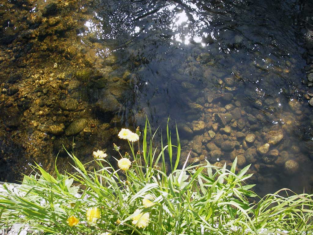
Photos
Questions or comments about this report can be directed to dfg.dsf.webmaster@alaska.gov