Fish Passage Site 20401320
Coordinates (dec. deg.): 61.54947°, -149.28049°
Legal Description: S017N001E21
Region: South Central
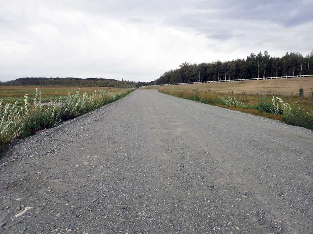
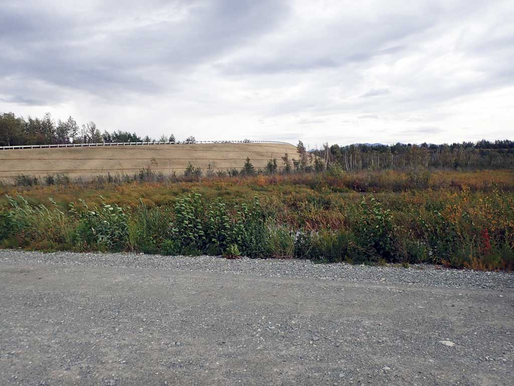
Road Name: Nelson Road
Datum: NAD83
Quad Name / ITM: Anchorage C-7
AWC Stream #: 247-50-10260-2019-3032
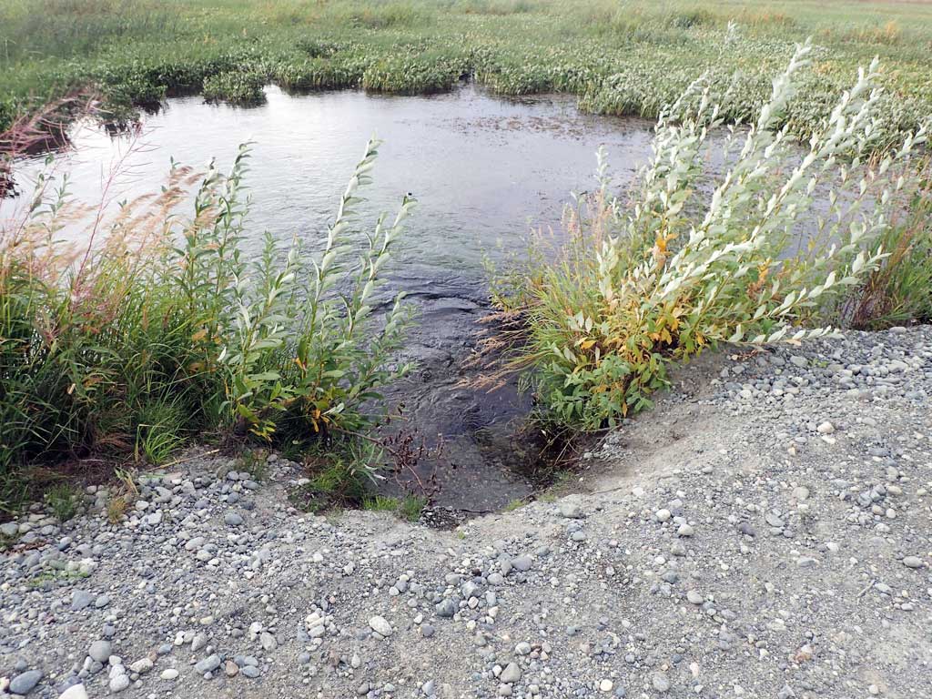
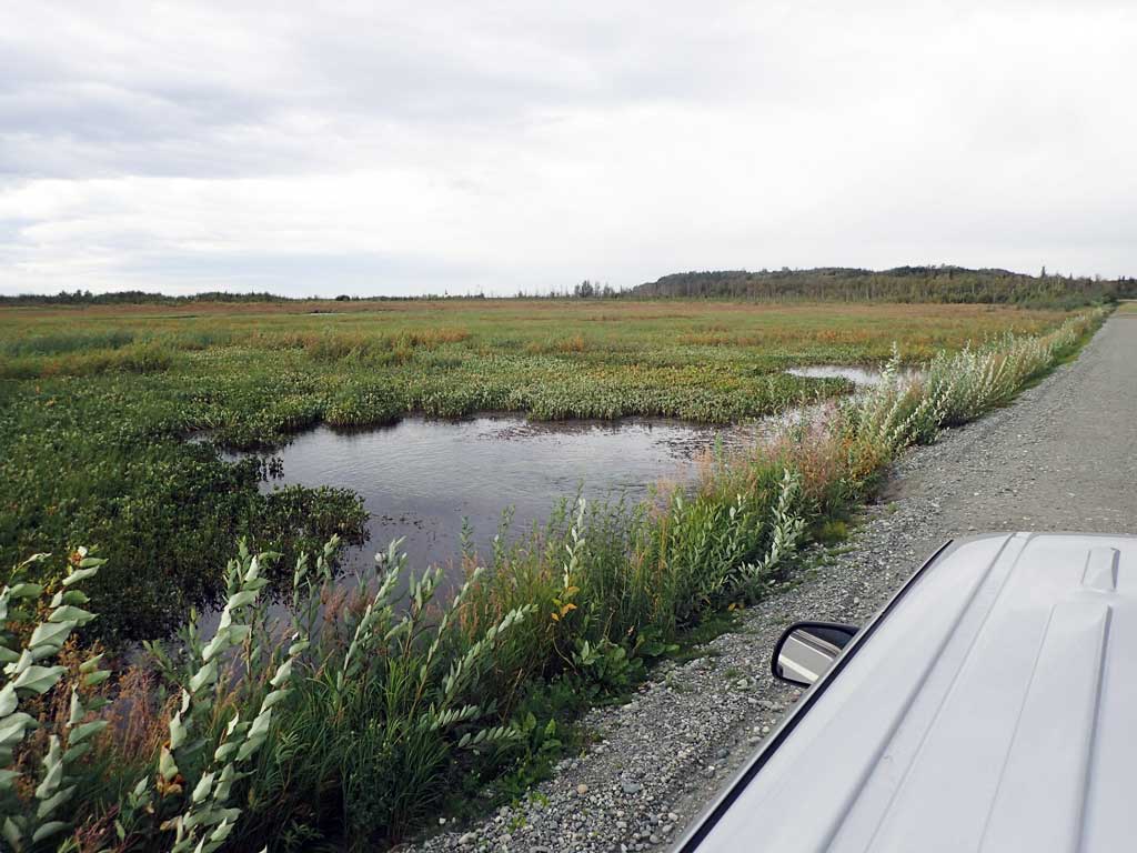
Stream Name: Spring Creek
Elevation:
Site Comments: None
arrow to the right of the survey date below to choose a different report for this site.
Survey UPDATE-1320
Project Supervisor: Gillian O'Doherty, ADFG
Observers: Mark Eisenman
Overall Fish Passage Rating:
Tidal:
Backwatered:
Step Pools:
Construction Year:
Site Observations:
- Hydraulic flows exceeded capacity
- Structural Problem
- Road Fill (pushed off road by grader)
- Mechanical damage or joints parting
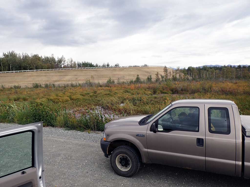
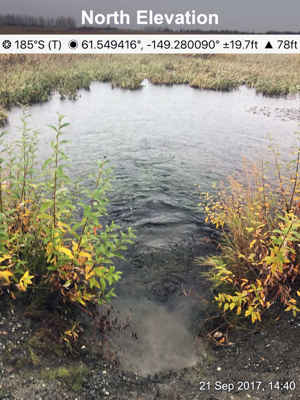
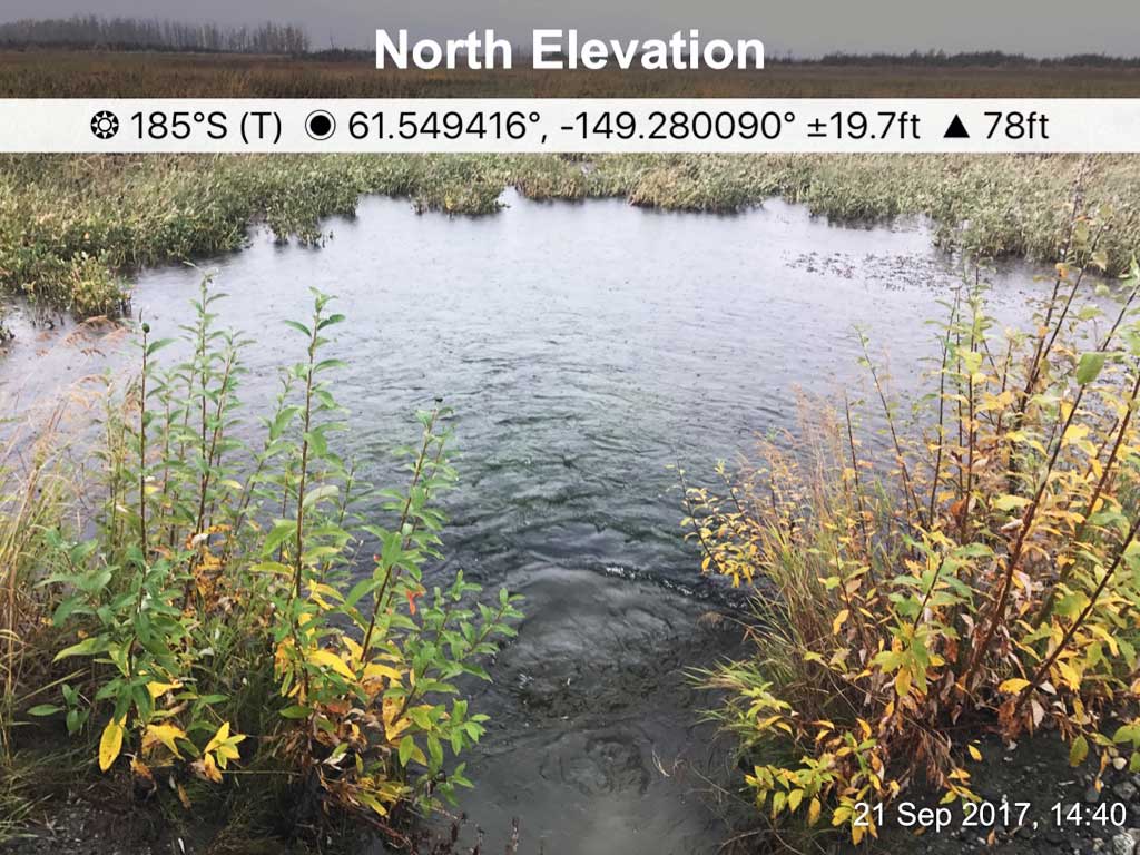
Comments: Road was widened recently and culverts were not lengthened. Site visited in Sept 2017. Inlet and outlet submerged and partially buried. Water rolling up from outlet causing road bank erosion. Nelson road has been closed with the new Trunk Road spur to the west and a gated off of the frontage road by the Glenn Highway. Site possibly being removed and will allow limited access to the north end of the Palmer Hay Flats Refuge.
Culvert Measurements
| ID: 1 | Structure Type:N/A | Fish Passage Rating: | |||||||||||||||||||||||||||||||||||||||||
|
|
|
|||||||||||||||||||||||||||||||||||||||||
Culvert Observations:
|
|||||||||||||||||||||||||||||||||||||||||||
Stream Measurements
|
|
No stream width data available.
Elevations
No elevation data available.
Fish Sampling Efforts
No fish sampling occurred during this survey.
Fish Observations
No fish observations occurred during this survey.
Photos
.JPG)

Questions or comments about this report can be directed to dfg.dsf.webmaster@alaska.gov