Fish Passage Site 20401278
Coordinates (dec. deg.): 61.58256°, -149.39583°
Legal Description: S017N001W11
Region: South Central
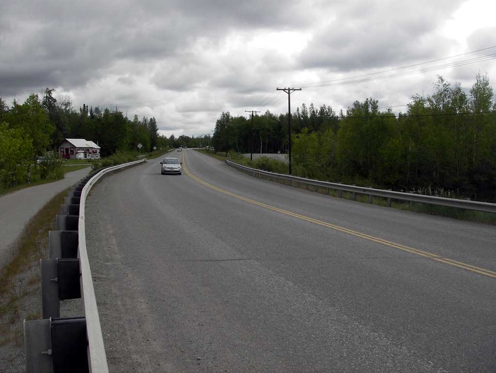
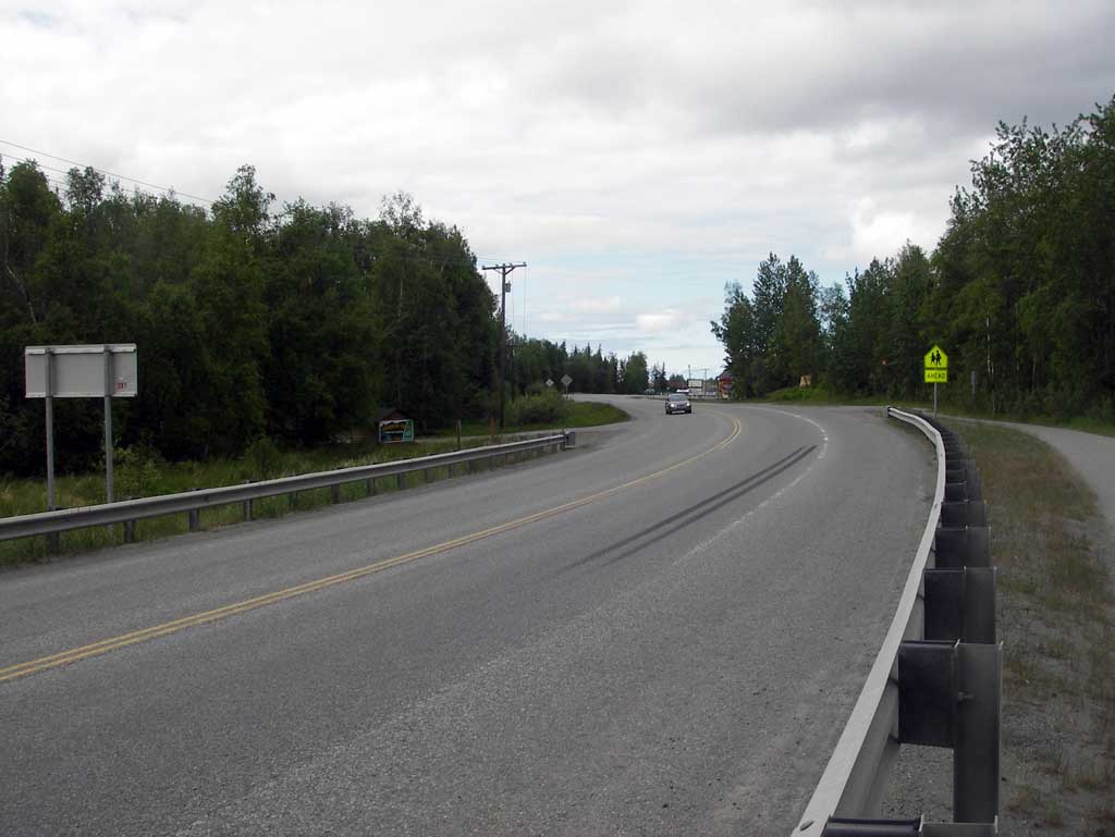
Road Name: Palmer Wasilla Highway
Datum: NAD83
Quad Name / ITM: Anchorage C-7
AWC Stream #: 247-50-10300
Stream Name: Cottonwood Creek
Elevation:
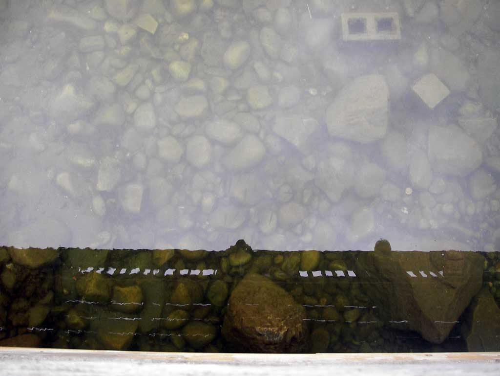
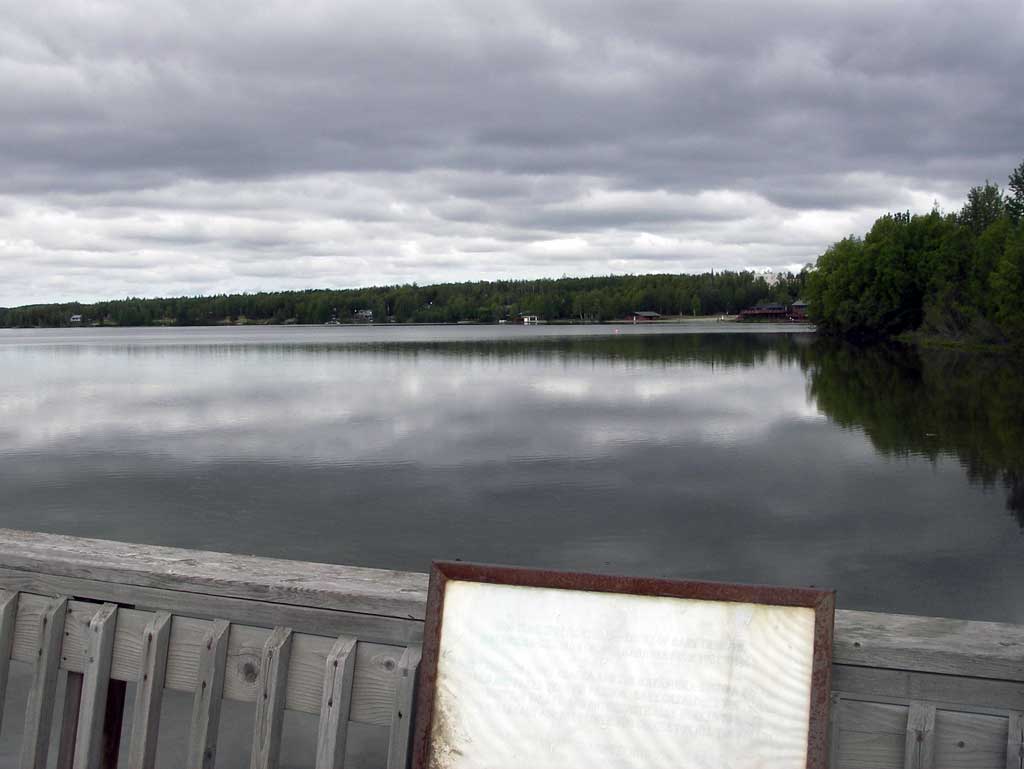
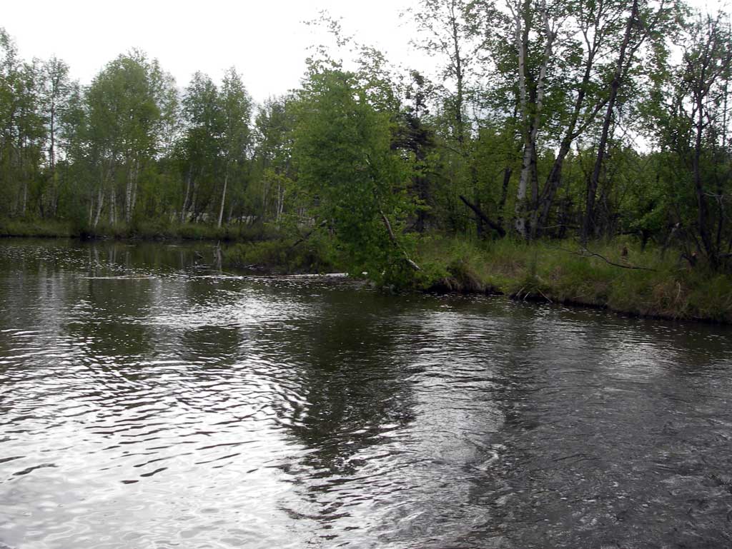
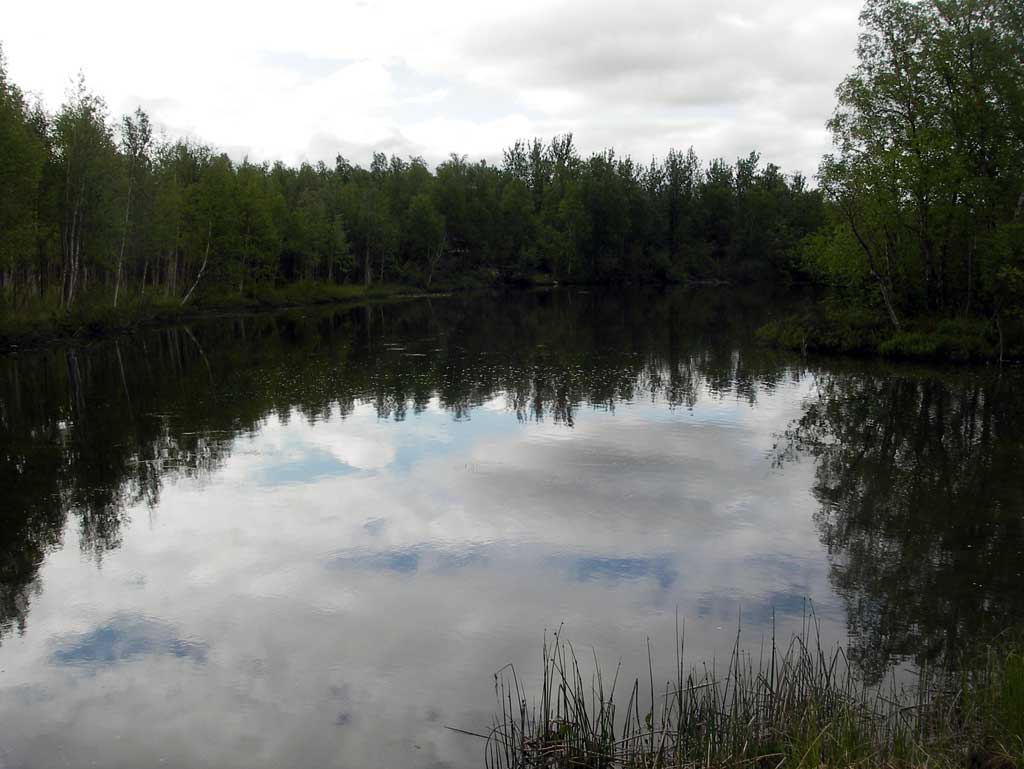
Site Comments: Outlet channel at Cottonwood Lake which connects to a large flat slough area.
arrow to the right of the survey date below to choose a different report for this site.
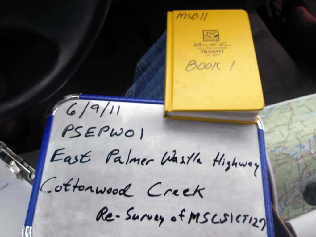
Survey MSB11-PSEPW01
Project Supervisor: Gillian O'Doherty, Alaska Department of Fish and Game
— Anchorage, AK
Observers: John Greuey, Abraham Gioffre
Overall Fish Passage Rating:
Tidal: No
Backwatered: Maybe
Step Pools: No
Construction Year:
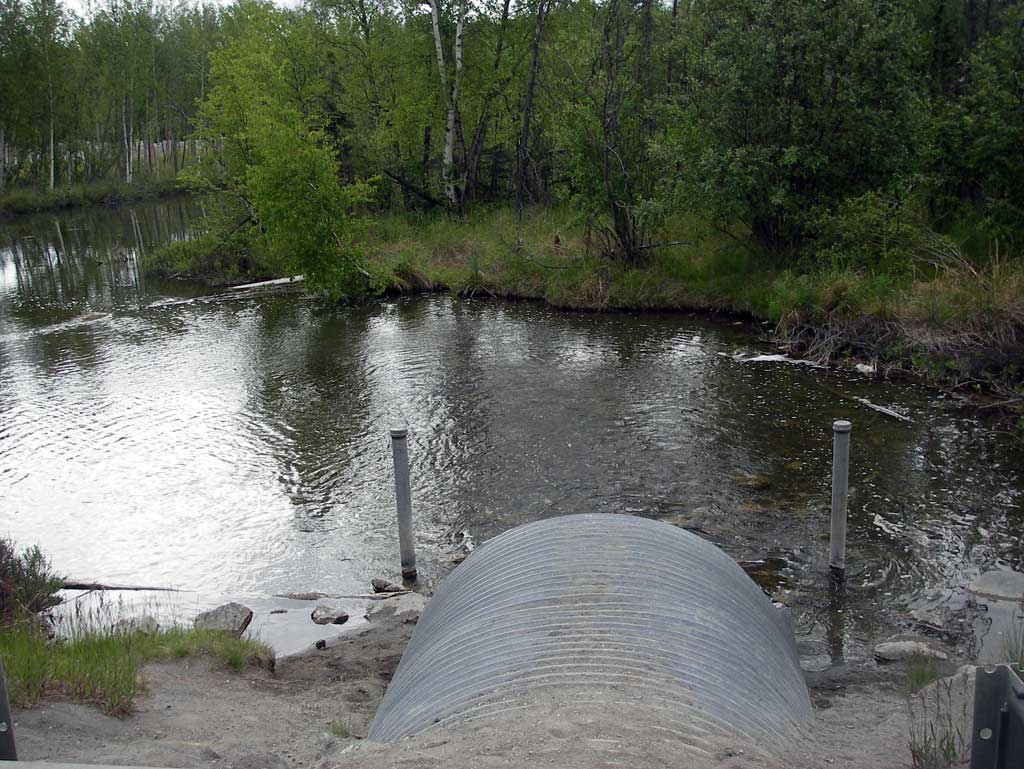
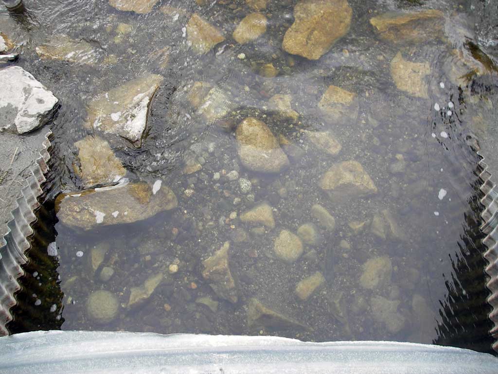
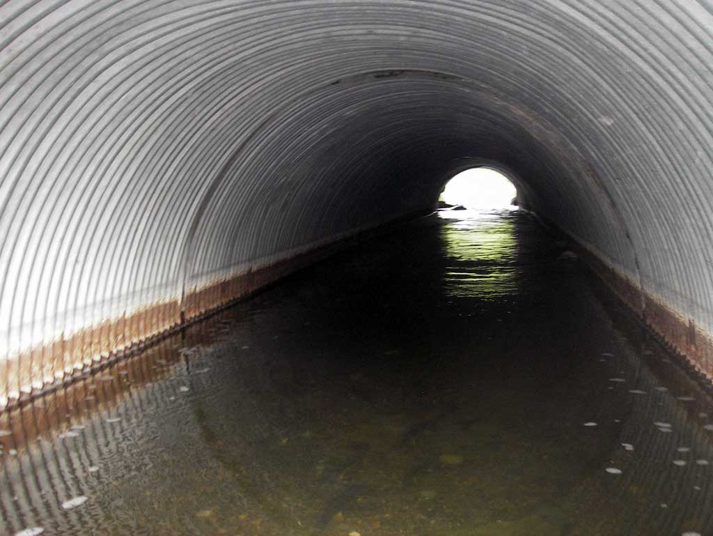
Comments: Cottonwood Creek at the outlet of Cottonwood Lake on the East Palmer Wasilla Highway. Culvert connects the lake to a large slough/pond on the dwst side and the upst end contains a viewing platform over the inlet. Several fish observed although type unknown. Full survey not done, see prievious survey for gradients.
Culvert Measurements
| ID: 1 | Structure Type: Circular pipe (Corrugated steel) | Fish Passage Rating: | |||||||||||||||||||||||||||||||||||||||||
|
|
|
|||||||||||||||||||||||||||||||||||||||||
Stream Measurements
|
|
No stream width data available.
Elevations
No elevation data available.
Fish Sampling Efforts
No fish sampling occurred during this survey.
Fish Observations
No fish observations occurred during this survey.
Photos
Questions or comments about this report can be directed to dfg.dsf.webmaster@alaska.gov