Fish Passage Site 20401274
Coordinates (dec. deg.): 61.62593°, -149.31238°
Legal Description: S018N001E29
Region: South Central
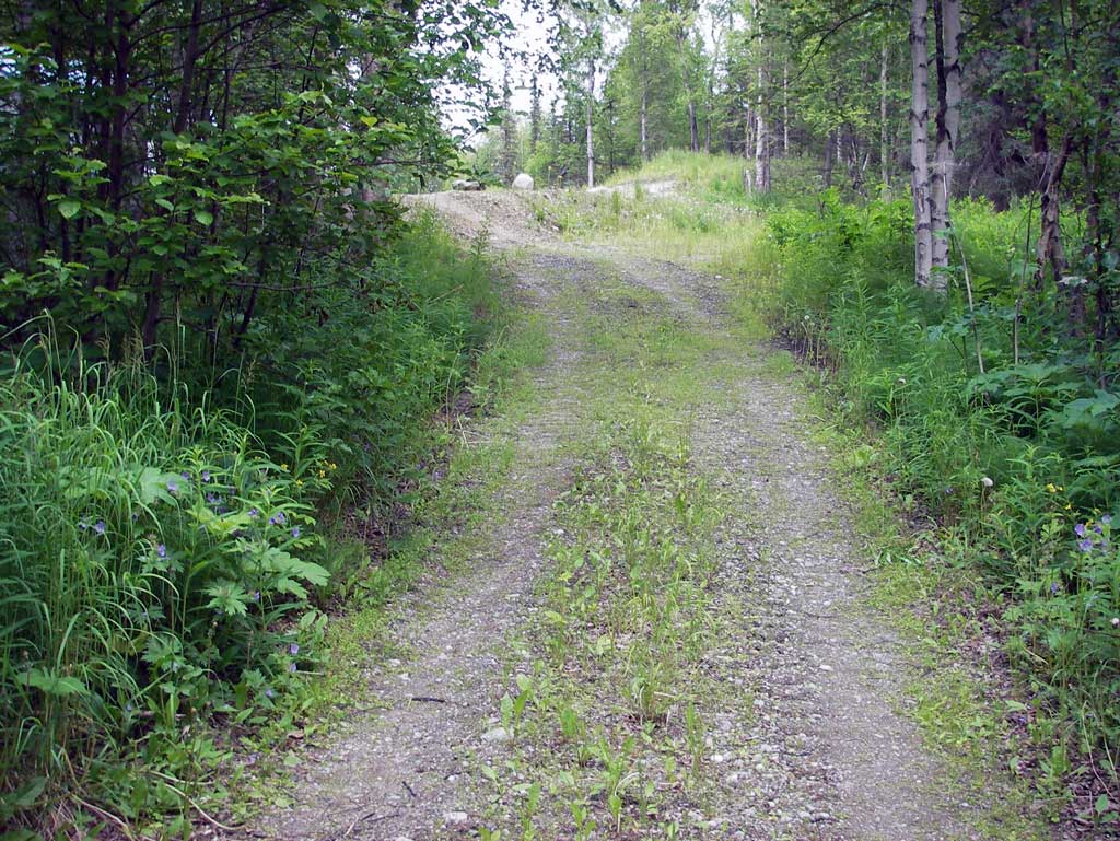
Road Name: Driveway
Datum: NAD83
Quad Name / ITM: Anchorage C-7
AWC Stream #:
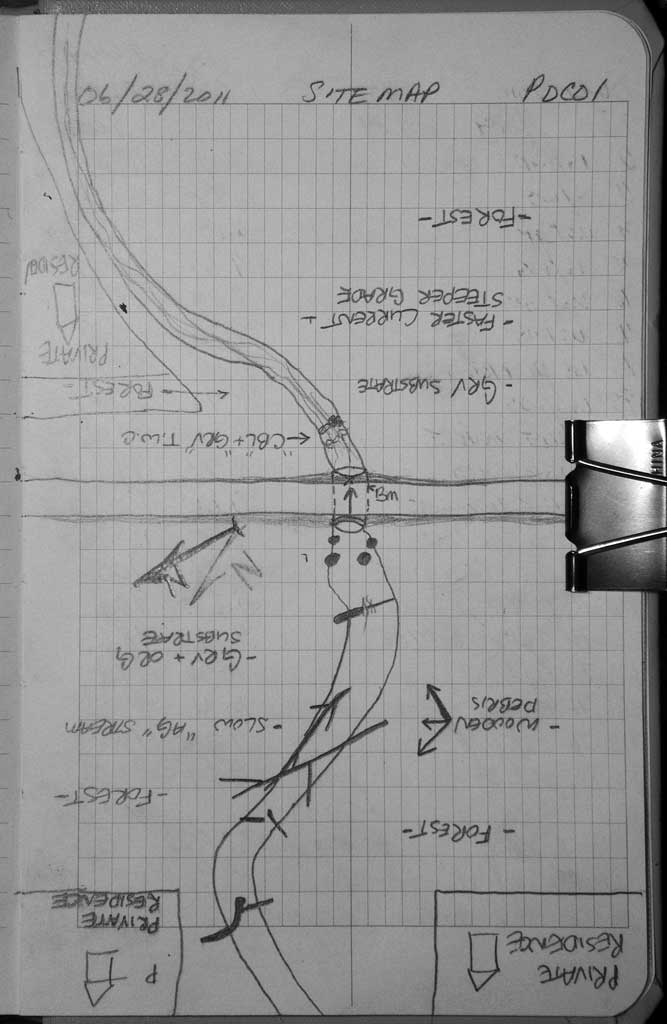
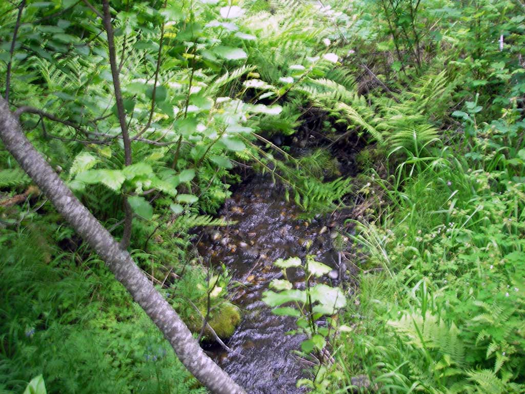
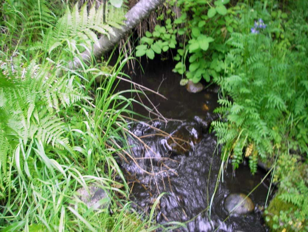
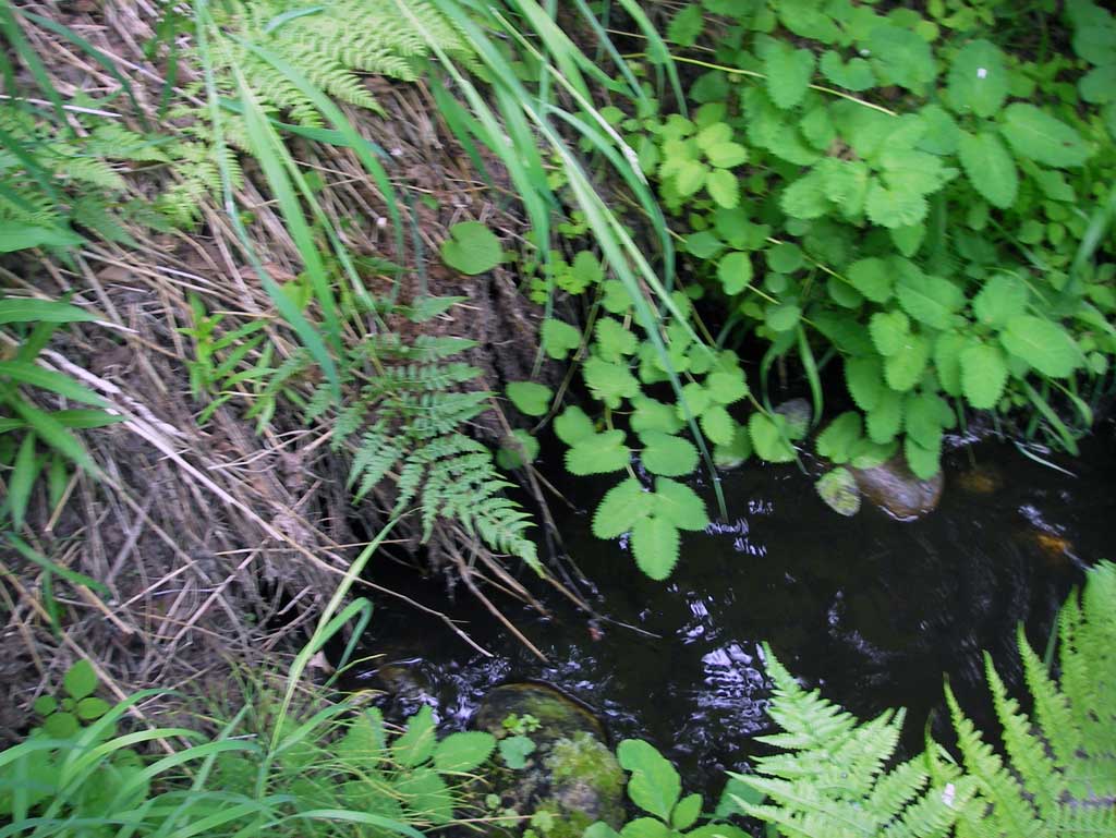
Stream Name: Wolf Lake outlet stream
Elevation:
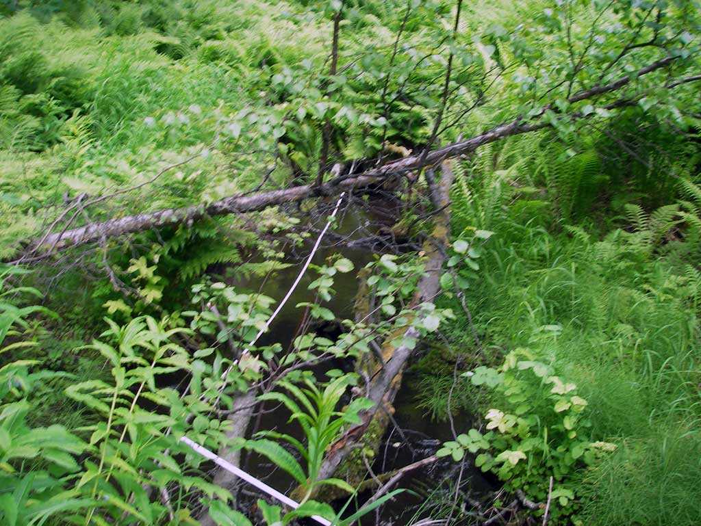
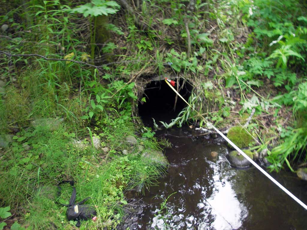
Site Comments: Culvert located on remote drive located N. of end of N. Caribou St.
arrow to the right of the survey date below to choose a different report for this site.
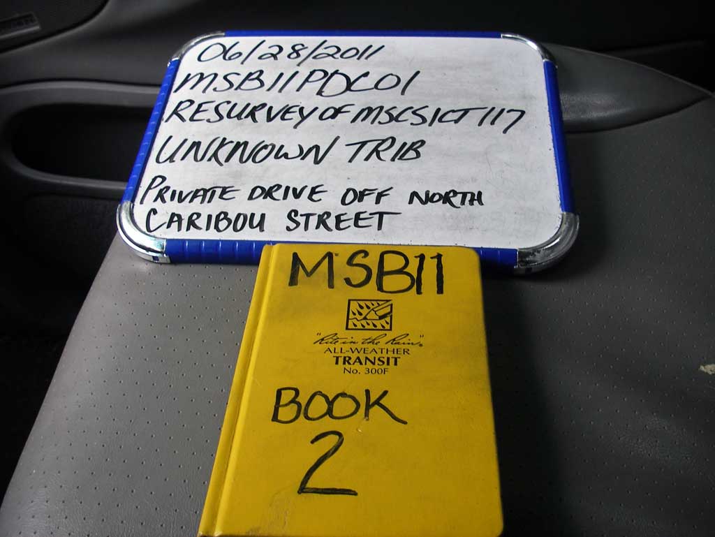
Survey MSB11-PDC01
Project Supervisor: Gillian O'Doherty, Alaska Department of Fish and Game
— Anchorage, AK
Observers: John Greuey, Abraham Gioffre
Overall Fish Passage Rating:
Tidal: No
Backwatered: No
Step Pools: No
Construction Year:
Site Observations:
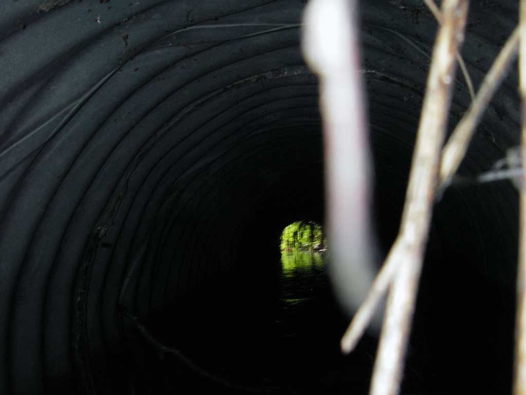
- Constriction ratio red
- Mechanical damage or joints parting
- Culvert sagging in middle
- Culvert gradient red
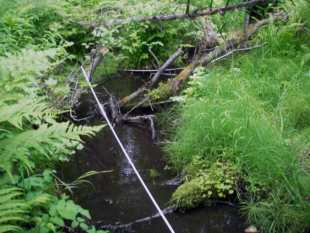
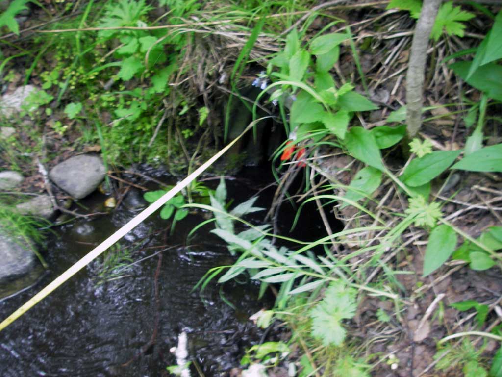
Comments: Dwst of outlet is a section of the channel with a slope of 8.4%.
Culvert Measurements
| ID: 1 | Structure Type: Circular pipe (Corrugated steel) | Fish Passage Rating: | ||||||||||||||||||||||||||||||||||||||||||
|
|
|
||||||||||||||||||||||||||||||||||||||||||
Culvert Observations:
|
||||||||||||||||||||||||||||||||||||||||||||
Stream Measurements
|
|
| Stream Width Type | Distance From Crossing (ft) |
Stream Width (ft) |
|---|---|---|
| Upstream ordinary high water | 24.0 | 5.50 |
| Upstream ordinary high water | 62.0 | 4.50 |
| Upstream ordinary high water | 78.0 | 4.00 |
Elevations
| Locator ID | Culvert Number |
River Distance (ft)1 |
Distance From Crossing (ft)2 |
Relative Elevation (ft) |
|---|---|---|---|---|
| U/S Grade Ctrl (Thalweg) (Top of wooden debris riffle) | 0.00 | 100.74 | ||
| U/S Water Surface Elev (Used for stream gradient) | 0.00 | 100.86 | ||
| U/S Water Surface Elev | 28.00 | 100.17 | ||
| U/S Grade Ctrl (Thalweg) (Top of debris riffle) | 28.00 | 99.97 | ||
| U/S Grade Ctrl (Thalweg) (Top of gravel riffle) | 40.00 | 99.95 | ||
| U/S Water Surface Elev | 40.00 | 100.11 | ||
| U/S Thalweg (Upstream profile point. Beginning of glide.) | 75.00 | 98.75 | ||
| U/S Water Surface Elev (Used for stream gradient) | 75.00 | 99.14 | ||
| Inlet Culvert Invert (On pipe) | 85.00 | 98.76 | ||
| U/S Water Surface Elev (Water surface at inlet invert) | 85.00 | 99.10 | ||
| Inlet Culvert Top | 85.00 | 100.72 | ||
| Road Elev | 97.00 | 103.16 | ||
| Outlet Culvert Top | 110.71 | 100.00 | ||
| D/S Water Surface Elev (Water surface at outlet invert) | 110.71 | 98.63 | ||
| Outlet Invert (On substrate) | 110.71 | 98.16 | ||
| D/S Grade Ctrl (Thalweg) (Top of riffle) | 113.71 | 98.49 | ||
| D/S Water Surface Elev (Used for max gradient) | 113.71 | 98.57 | ||
| D/S Grade Ctrl (Thalweg) (Bottom of riffle) | 126.71 | 97.14 | ||
| D/S Water Surface Elev (Used for max gradient) | 126.71 | 97.48 |
Notes:
- River distance is measured continuously throughout the survey reach along the thalweg of the stream.
- Measured from each end of the crossing along the thalweg of the stream.
Fish Sampling Efforts
No fish sampling occurred during this survey.
Fish Observations
No fish observations occurred during this survey.
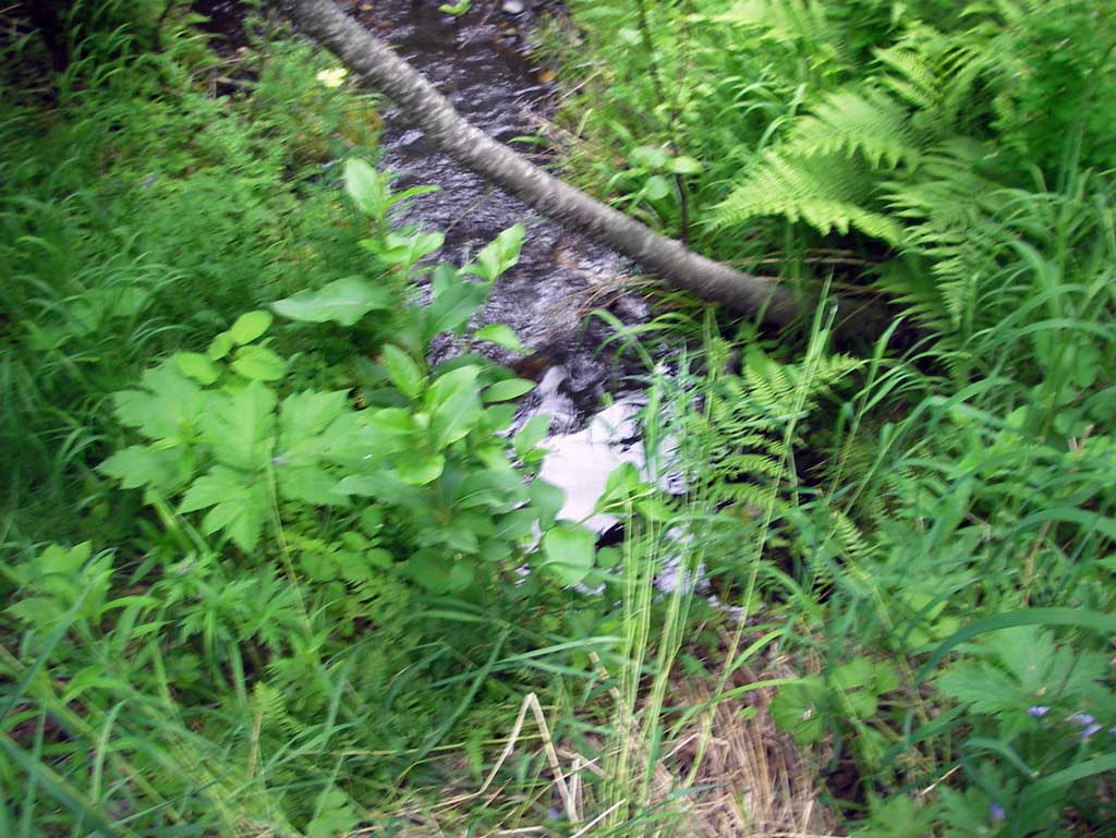
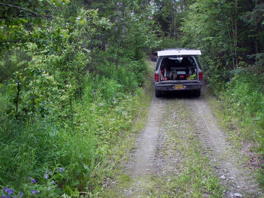
Photos
Questions or comments about this report can be directed to dfg.dsf.webmaster@alaska.gov