Fish Passage Site 20401273
Coordinates (dec. deg.): 61.62455°, -149.31351°
Legal Description: S018N001E29
Region: South Central
Road Name: Driveway
Datum: NAD83
Quad Name / ITM: Anchorage C-7
AWC Stream #: 247-50-10300-2080
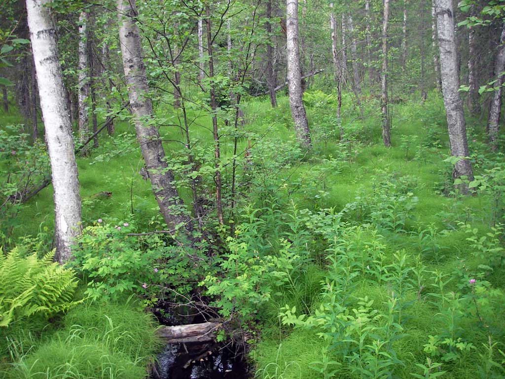
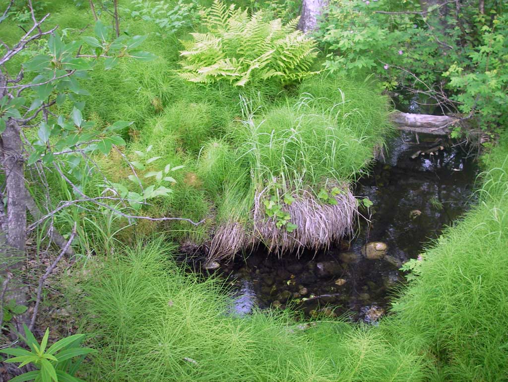
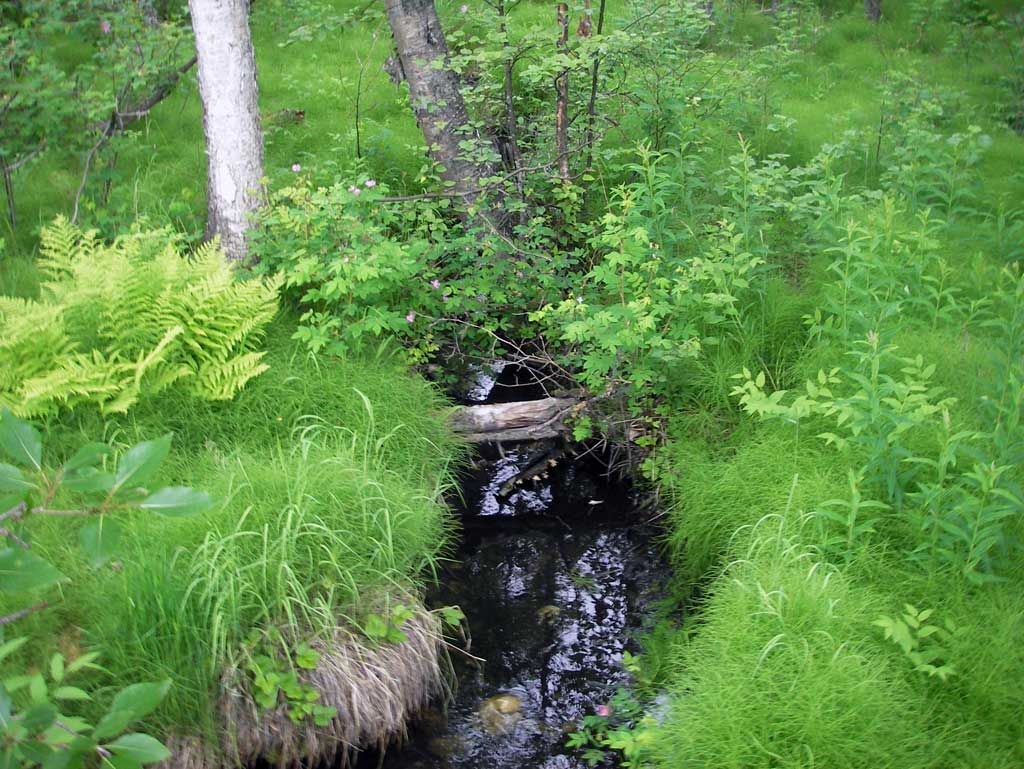
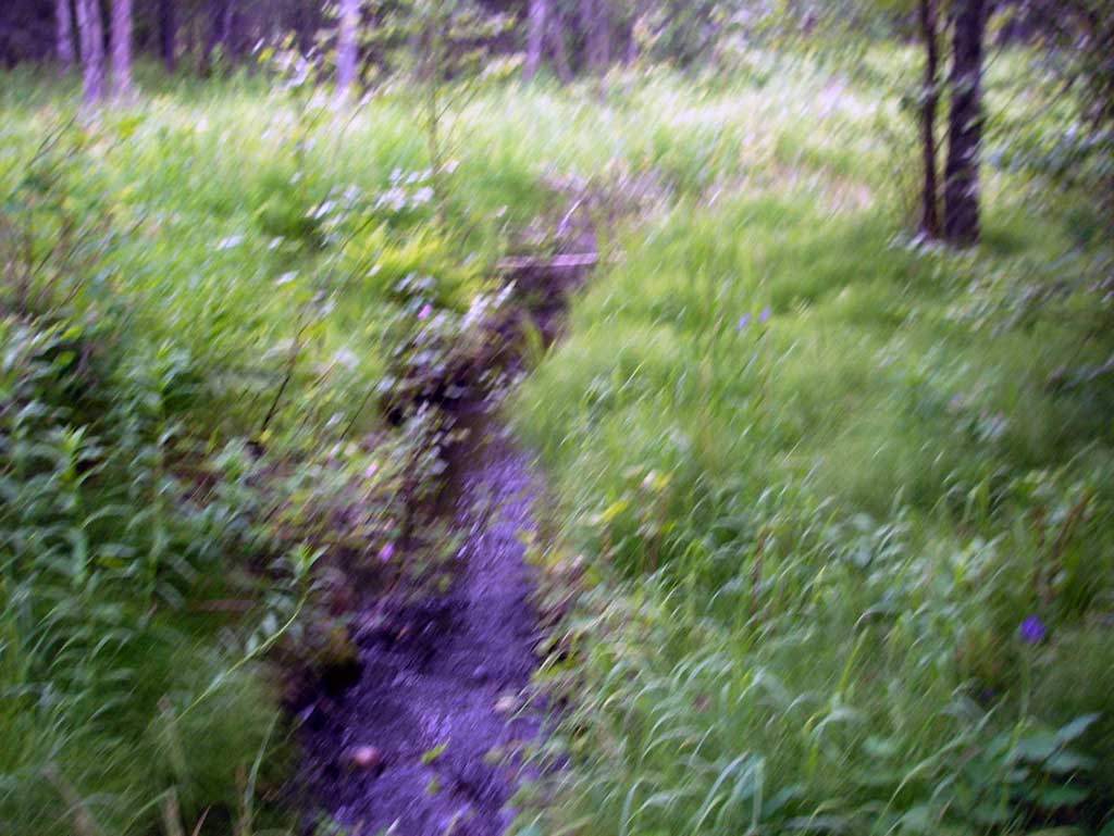
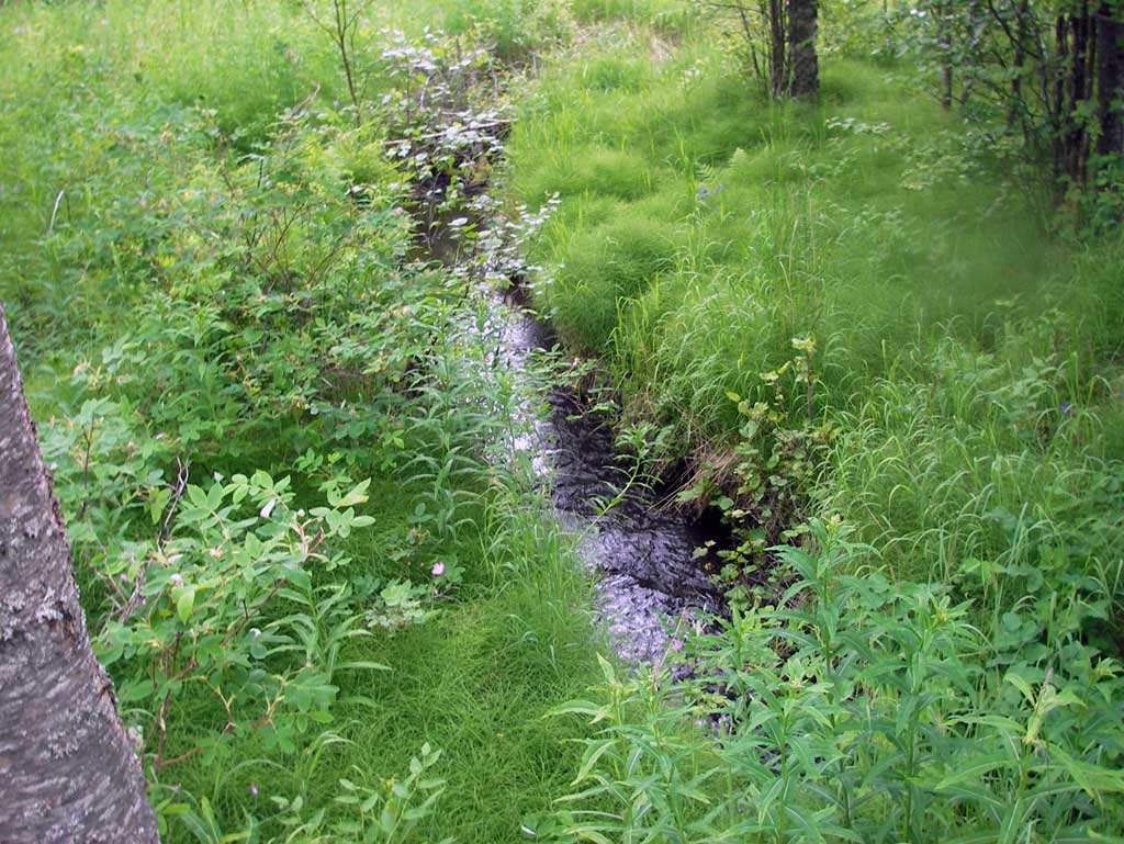
Stream Name: Cottonwood Creek tributary
Elevation:
Site Comments: None
arrow to the right of the survey date below to choose a different report for this site.
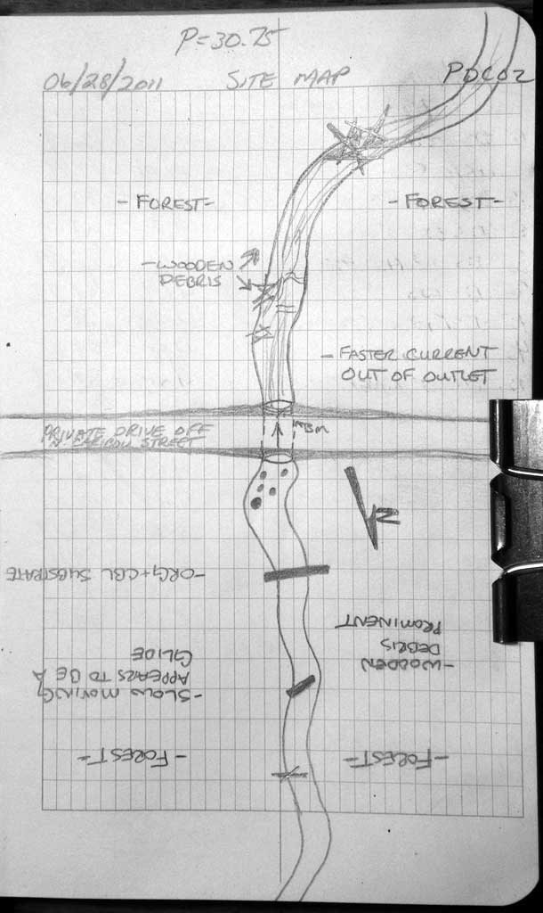
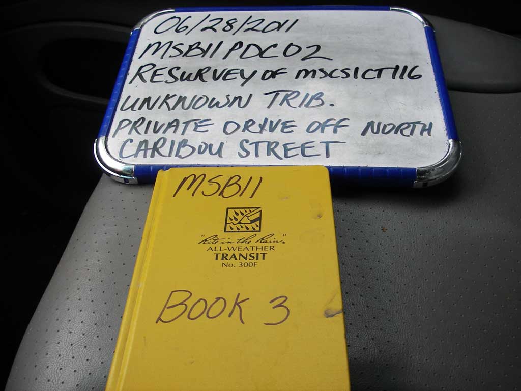
Survey MSB11-PDC02
Project Supervisor: Gillian O'Doherty, Alaska Department of Fish and Game
— Anchorage, AK
Observers: John Greuey, Abraham Gioffre
Overall Fish Passage Rating:
Tidal: No
Backwatered: No
Step Pools: No
Construction Year:
Site Observations:
- Constriction ratio red
- Culvert gradient red
- Mechanical damage or joints parting
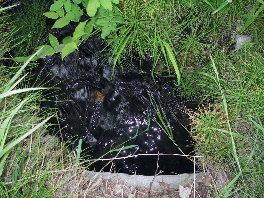
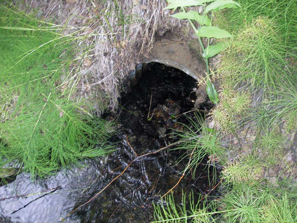
Comments: Private drive located near end of N. Caribou St. Juvenile fish observed.
Culvert Measurements
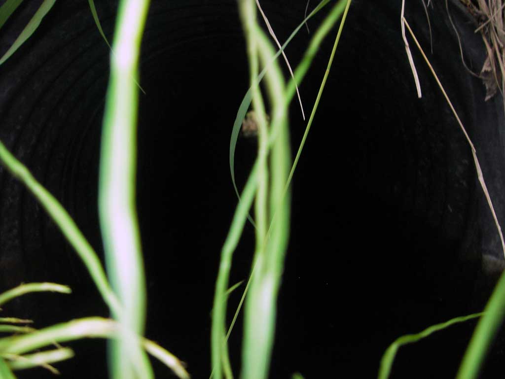
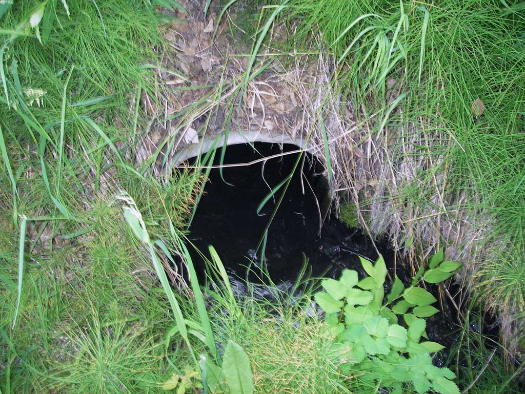
| ID: 1 | Structure Type: Circular pipe (Corrugated steel) | Fish Passage Rating: | ||||||||||||||||||||||||||||||||||||||||||
|
|
|
||||||||||||||||||||||||||||||||||||||||||
Culvert Observations:
|
||||||||||||||||||||||||||||||||||||||||||||
Stream Measurements
|
|
| Stream Width Type | Distance From Crossing (ft) |
Stream Width (ft) |
|---|---|---|
| Downstream ordinary high water | 19.0 | 3.85 |
| Downstream ordinary high water | 30.0 | 4.15 |
| Downstream ordinary high water | 44.0 | 3.95 |
Elevations
| Locator ID | Culvert Number |
River Distance (ft)1 |
Distance From Crossing (ft)2 |
Relative Elevation (ft) |
|---|---|---|---|---|
| D/S Thalweg (Profile point. Substrate in middle of pool) | 0.00 | 97.27 | ||
| D/S Water Surface Elev | 0.00 | 97.69 | ||
| D/S Grade Ctrl (Thalweg) (Top of wooden debris riffle) | 13.00 | 97.78 | ||
| D/S Water Surface Elev | 13.00 | 97.97 | ||
| D/S Thalweg (Profile point. Middle of riffle) | 35.00 | 98.07 | ||
| D/S Water Surface Elev | 35.00 | 98.22 | ||
| D/S Grade Ctrl (Thalweg) (Top of riffle just outside of outlet) | 45.00 | 98.45 | ||
| D/S Water Surface Elev | 45.00 | 98.65 | ||
| Outlet Culvert Top | 46.00 | 100.00 | ||
| Outlet Invert (On substrate) | 46.00 | 98.38 | ||
| D/S Water Surface Elev (Water surface at outlet invert) | 46.00 | 98.71 | ||
| Road Elev | 61.00 | 102.93 | ||
| Inlet Culvert Top | 76.75 | 100.41 | ||
| Inlet Culvert Invert (On substrate) | 76.75 | 98.88 | ||
| U/S Water Surface Elev | 76.75 | 99.18 | ||
| U/S Water Surface Elev | 84.75 | 99.25 | ||
| U/S Thalweg (Profile point. On substrate in upstream pool.) | 84.75 | 98.68 |
Notes:
- River distance is measured continuously throughout the survey reach along the thalweg of the stream.
- Measured from each end of the crossing along the thalweg of the stream.
Fish Sampling Efforts
| Gear Type: Visual Observation, Ground (A) | ||
| Comments: Juvenile fish observed. | ||
Fish Observations
| Species: general fish observation, no species information | Life History: Not Recorded | ||
| Total Fish Observed: 5 | Fish Measured: | Fork Lengths (mm) Min: Max: Mean: | |
| Collected/Observed by Gear Type: Upstream Visual Observation, Ground (5) | |||
Photos
Questions or comments about this report can be directed to dfg.dsf.webmaster@alaska.gov