Fish Passage Site 20401270
Coordinates (dec. deg.): 61.63292°, -149.27370°
Legal Description: S018N001E21
Region: South Central
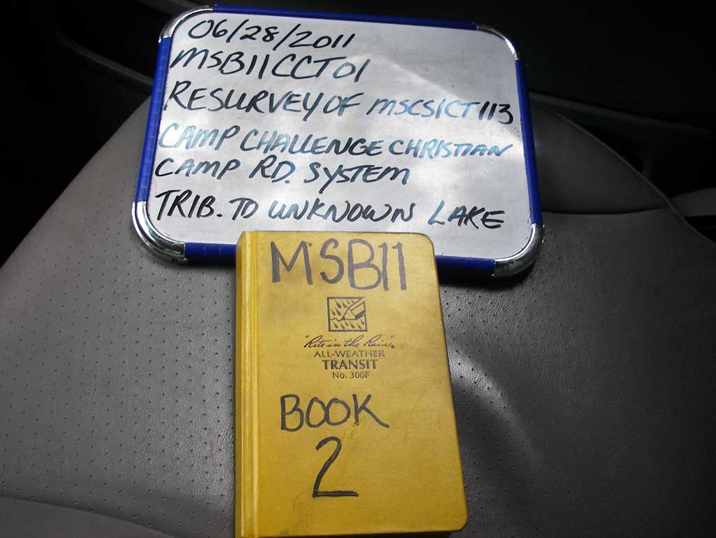
Road Name: Private- Camp Challenge Christ
Datum: NAD83
Quad Name / ITM: Anchorage C-7
AWC Stream #:
Stream Name: Neklason Lake Tributary
Elevation:
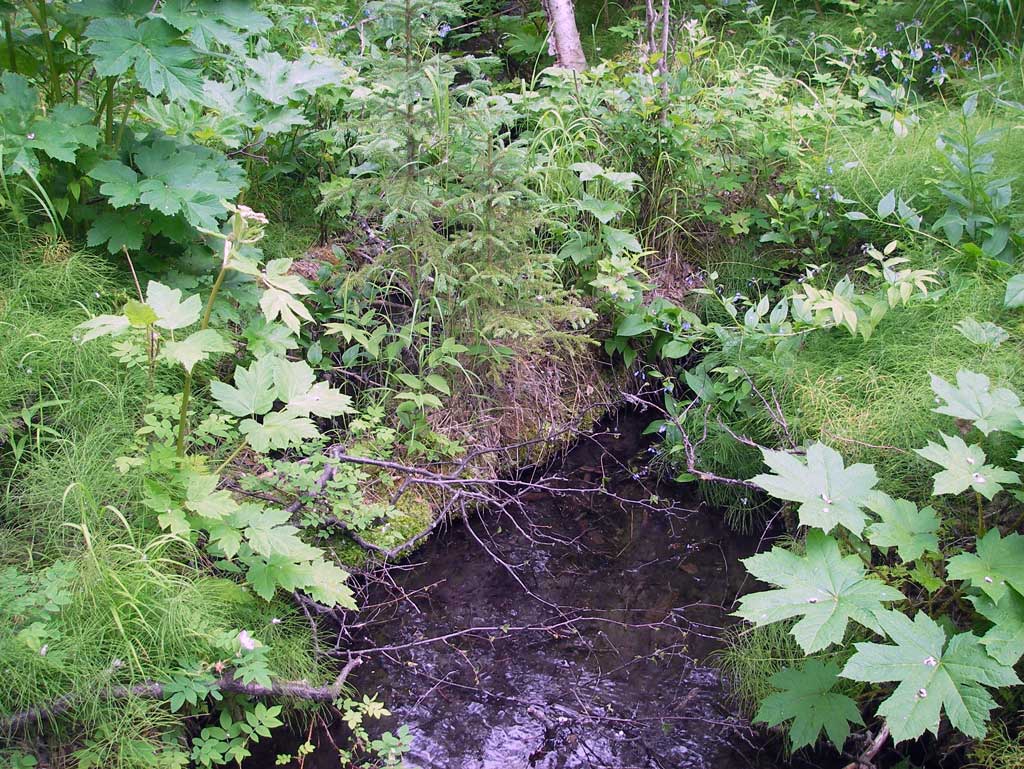
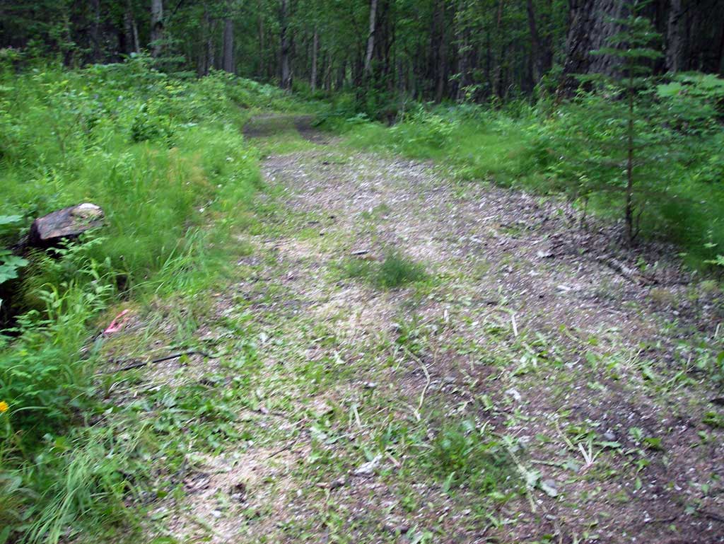
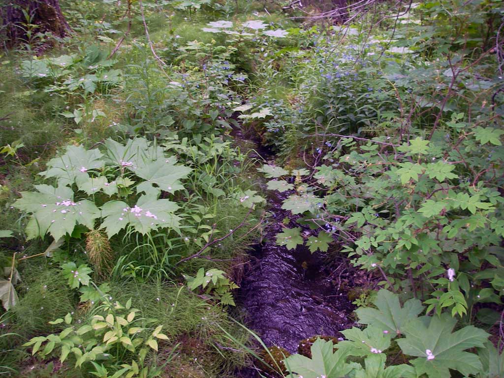
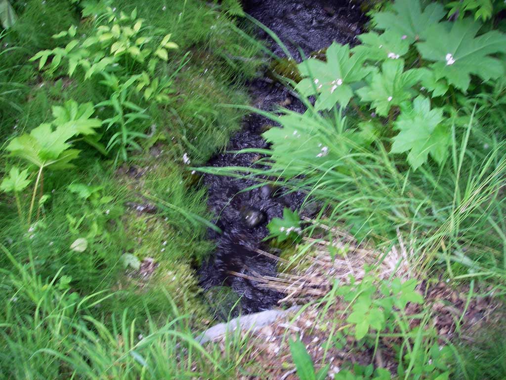
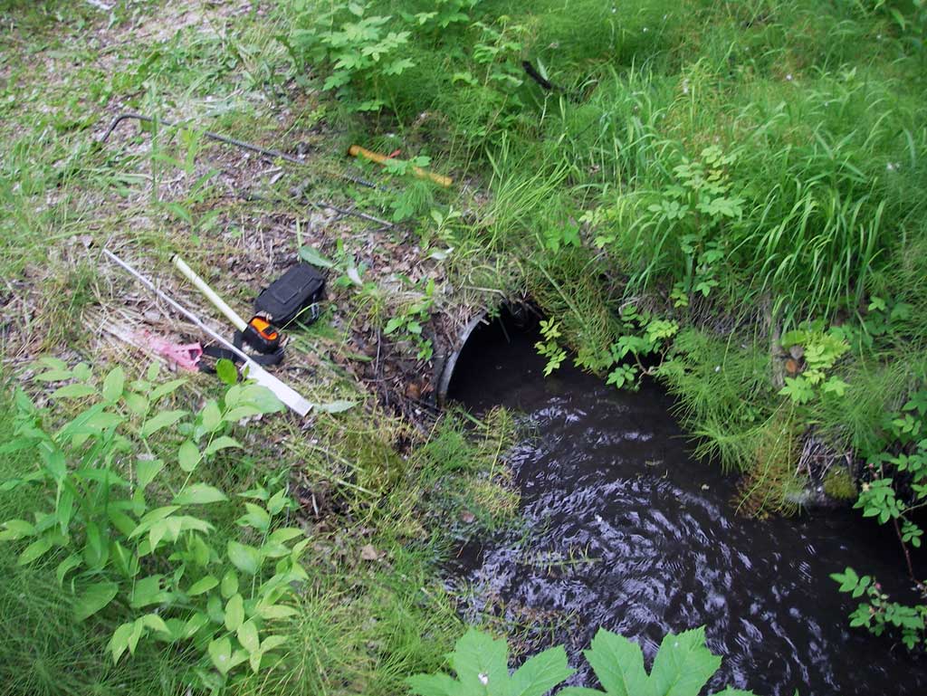
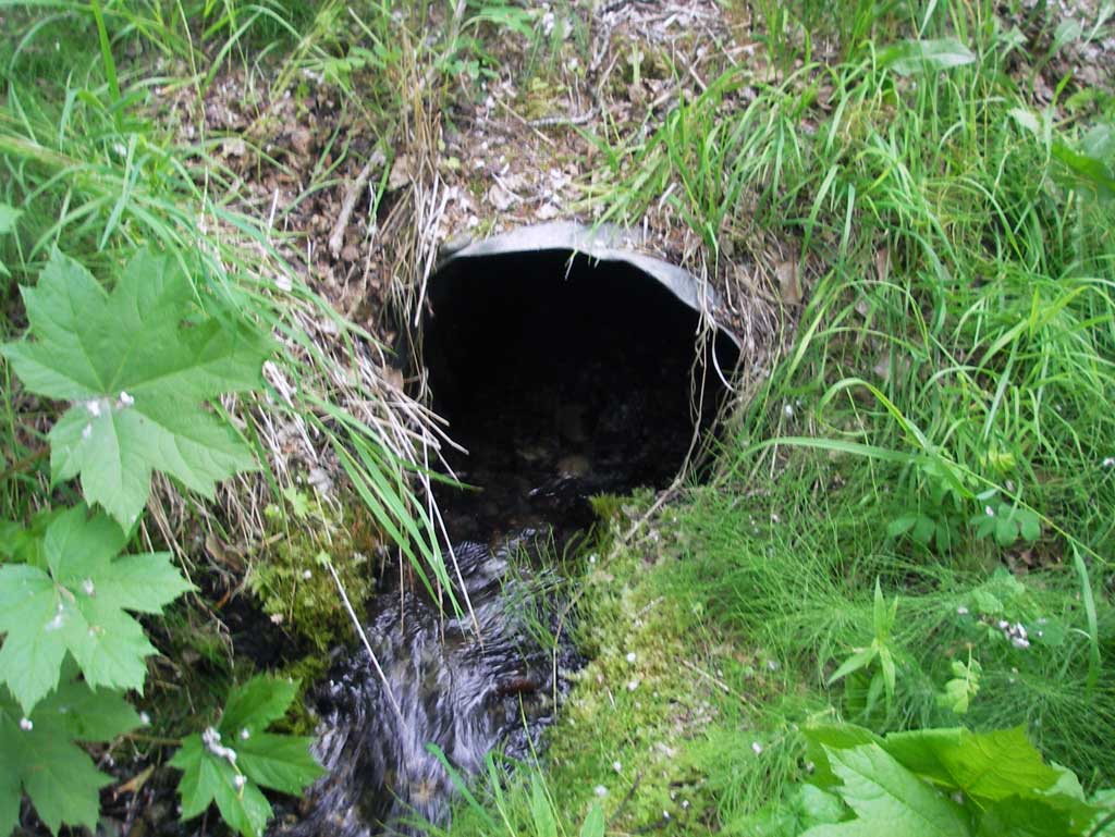
Site Comments: Creek just west Camp Challenge/culvert beneath camp trail nearst lake at top of steep grade. Culvert crossing is at top of steep grade, stream begins drop off hill/moraine approximately 30' downstream
arrow to the right of the survey date below to choose a different report for this site.
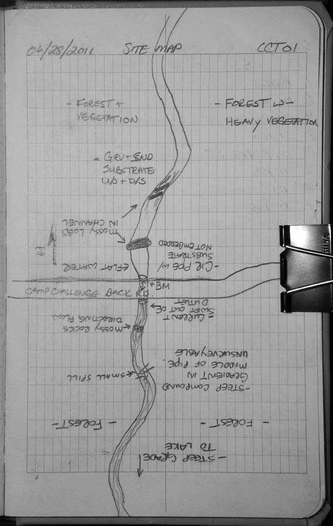
Survey MSB11-CCT01
Project Supervisor: Gillian O'Doherty, Alaska Department of Fish and Game
— Anchorage, AK
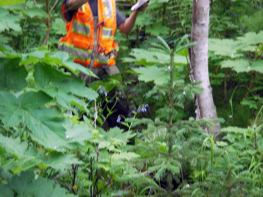
Observers: John Greuey, Abraham Gioffre
Overall Fish Passage Rating:
Tidal: No
Backwatered: No
Step Pools: No
Construction Year:
Site Observations:
- Constriction ratio red
- Woody Debris
- Sediment accumulation
- Mechanical damage or joints parting
- Culvert gradient red
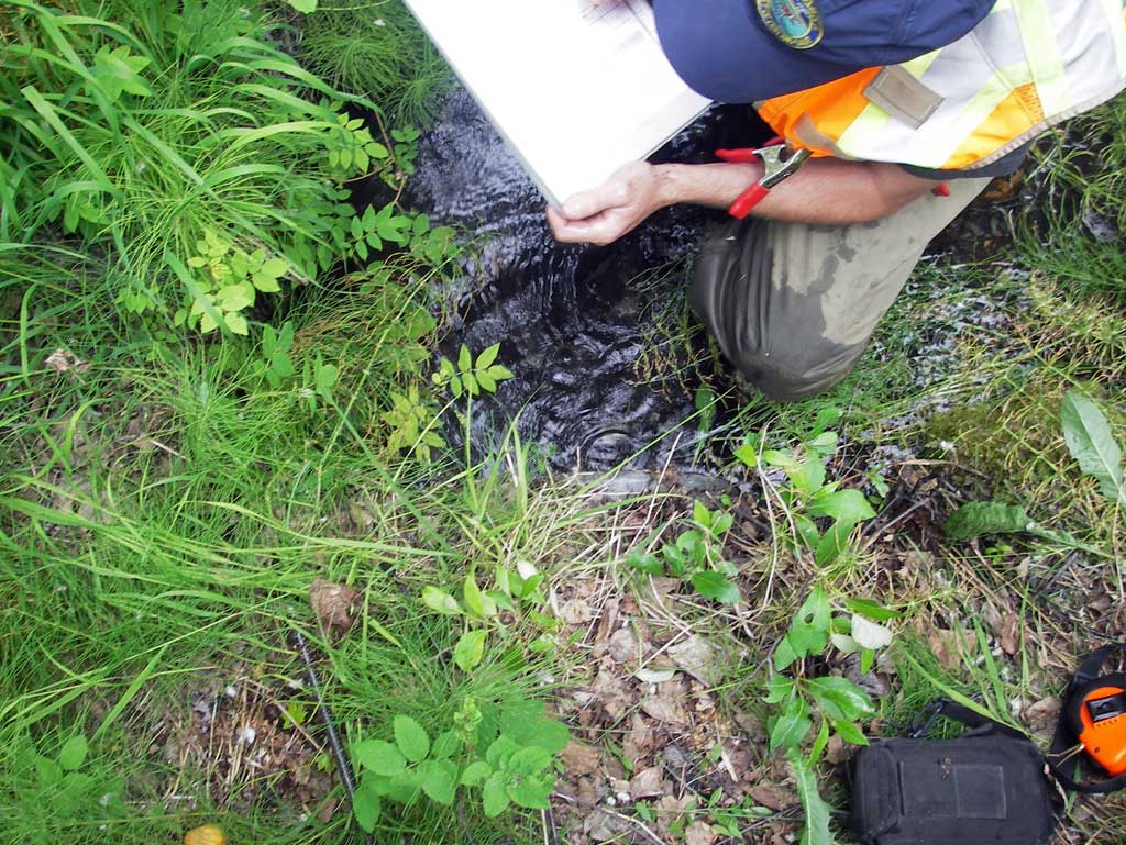
Comments: Private Road trail on Camp Challenge Christian Camp property with culvert over small tributary to lake on property. Downstream of outlet was a max. gradient created with woody debris. Six feet downstream of inlet in pipe is a partial woody debris blockage. Pipe is crushed/ bent. Dwst of outlet the channel had a max gradient of 13.1%.
Culvert Measurements
| ID: 1 | Structure Type: Circular pipe (Corrugated steel) | Fish Passage Rating: | ||||||||||||||||||||||||||||||||||||||||||
|
|
|
||||||||||||||||||||||||||||||||||||||||||
Culvert Observations:
|
||||||||||||||||||||||||||||||||||||||||||||
Stream Measurements
|
|
| Stream Width Type | Distance From Crossing (ft) |
Stream Width (ft) |
|---|---|---|
| Downstream ordinary high water | 12.0 | 3.50 |
| Downstream ordinary high water | 20.0 | 2.80 |
| Downstream ordinary high water | 24.0 | 3.00 |
Elevations
| Locator ID | Culvert Number |
River Distance (ft)1 |
Distance From Crossing (ft)2 |
Relative Elevation (ft) |
|---|---|---|---|---|
| D/S Grade Ctrl (Thalweg) (Mid point of riffle) | 0.00 | 95.87 | ||
| D/S Water Surface Elev (Used for stream gradient) | 0.00 | 95.98 | ||
| D/S Thalweg (Profile point at grade break due to wooden debris.) | 14.00 | 96.70 | ||
| D/S Water Surface Elev | 14.00 | 97.07 | ||
| D/S Thalweg (Profile point at grade break due to wooden debris.) | 21.00 | 97.03 | ||
| D/S Water Surface Elev | 21.00 | 97.38 | ||
| D/S Water Surface Elev (Used for stream gradient and max gradient.) | 28.00 | 97.58 | ||
| D/S Grade Ctrl (Thalweg) (Pool area below max gradient) | 28.00 | 97.36 | ||
| Outlet Culvert Top | 35.00 | 100.01 | ||
| Outlet Invert (On substrate) | 35.00 | 98.14 | ||
| D/S Water Surface Elev (Water surface at outlet invert. Used for max gradient) | 35.00 | 98.50 | ||
| Road Elev | 43.00 | 100.90 | ||
| Inlet Culvert Invert (On substrate) | 51.10 | 99.84 | ||
| Inlet Culvert Top | 51.10 | 100.00 | ||
| U/S Water Surface Elev (Water surface at inlet invert) | 51.10 | 99.38 | ||
| U/S Grade Ctrl (Thalweg) (created and controlled by wooden debris) | 73.10 | 99.50 | ||
| U/S Water Surface Elev | 73.10 | 99.77 |
Notes:
- River distance is measured continuously throughout the survey reach along the thalweg of the stream.
- Measured from each end of the crossing along the thalweg of the stream.
Fish Sampling Efforts
No fish sampling occurred during this survey.
Fish Observations
No fish observations occurred during this survey.
Photos
Questions or comments about this report can be directed to dfg.dsf.webmaster@alaska.gov