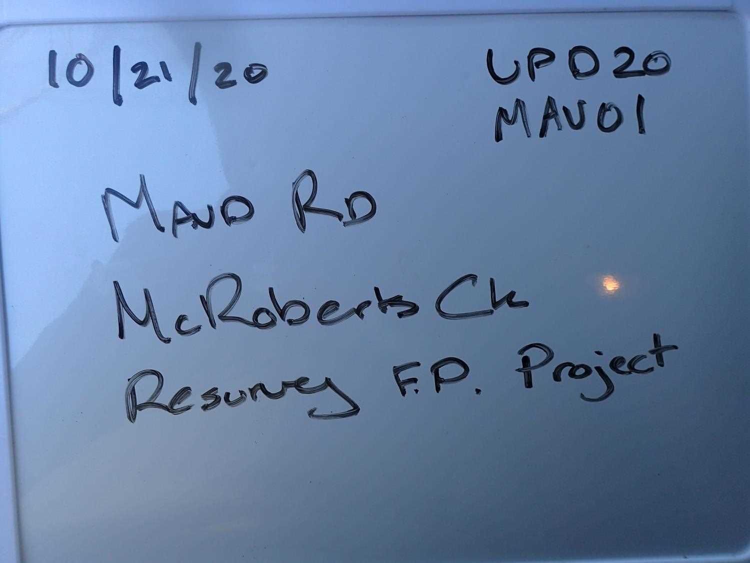
Fish Passage Site 20401198
Coordinates (dec. deg.): 61.58475°, -148.98727°
Legal Description: S017N003E07
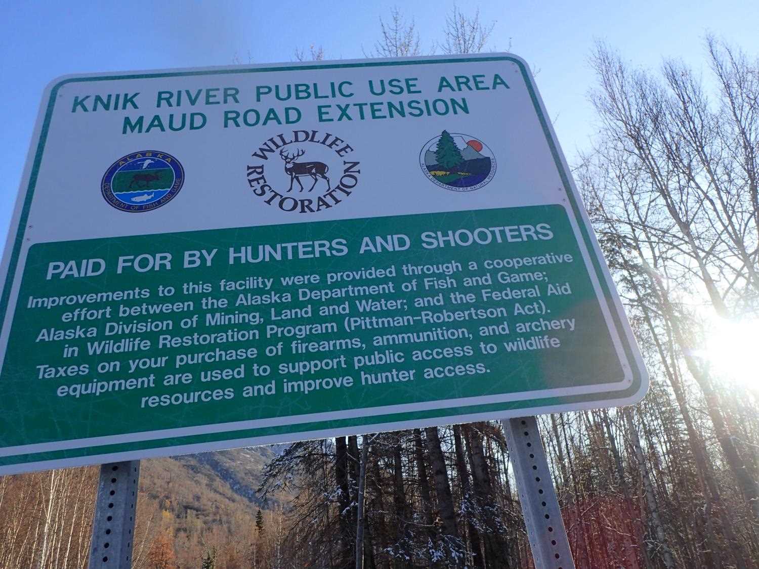
Region: South Central
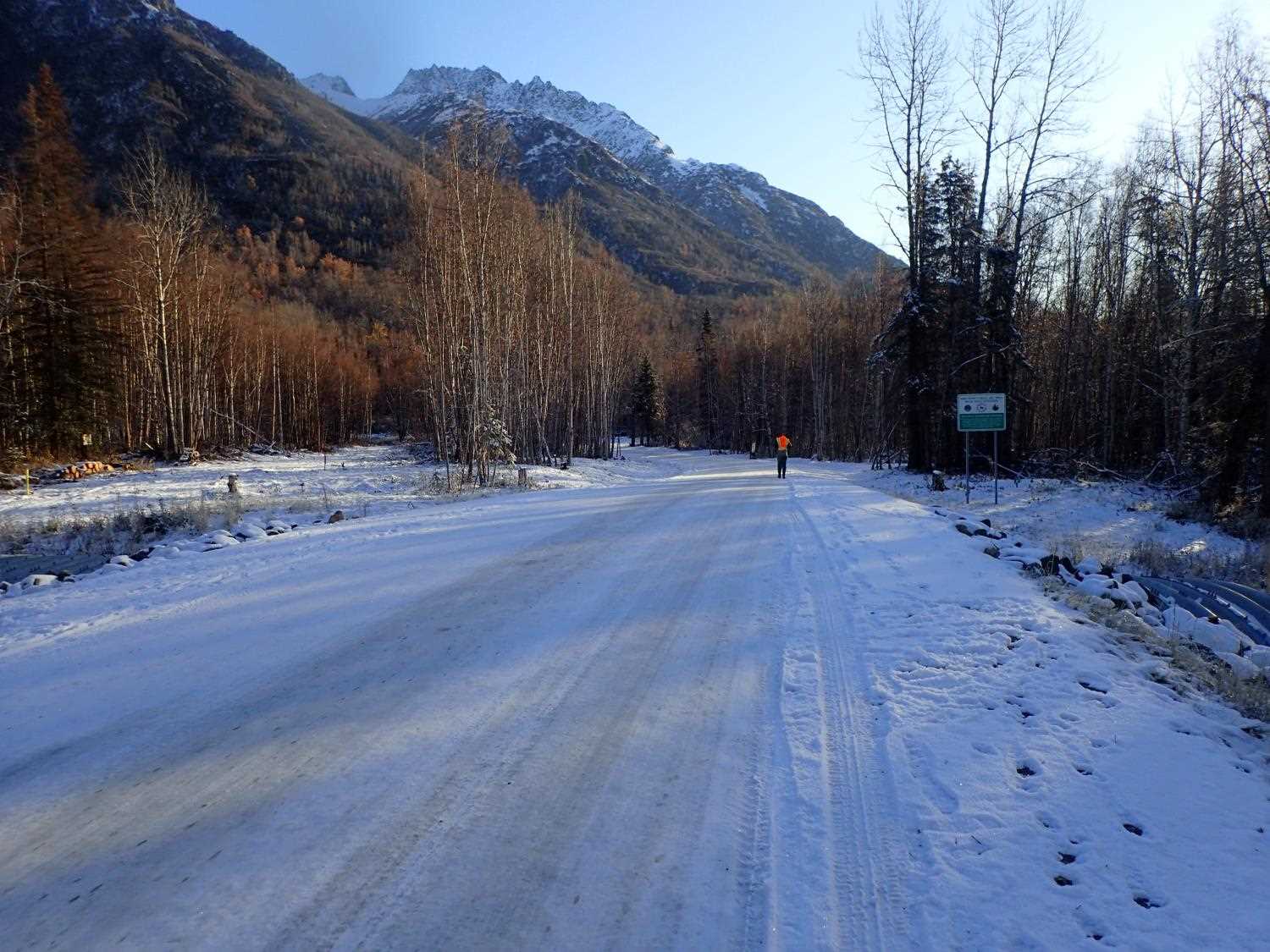
Road Name: Maud Road
Datum: WGS84
Quad Name / ITM: Anchorage C-6
AWC Stream #:
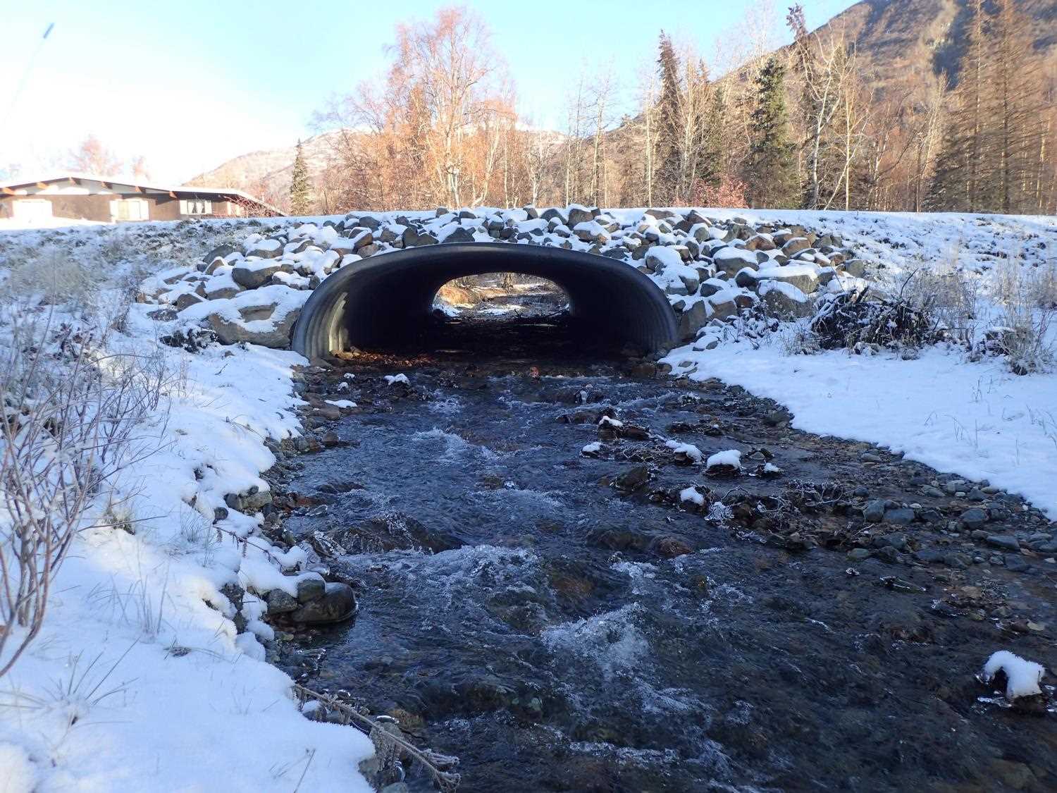
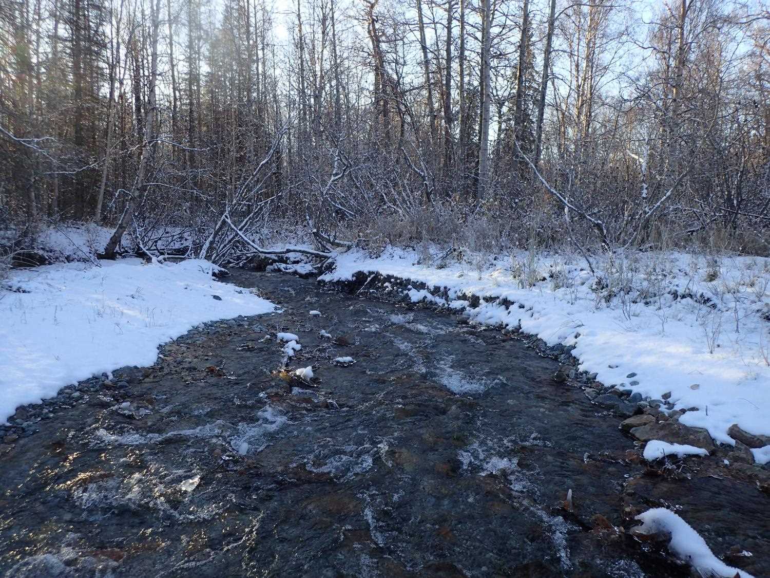
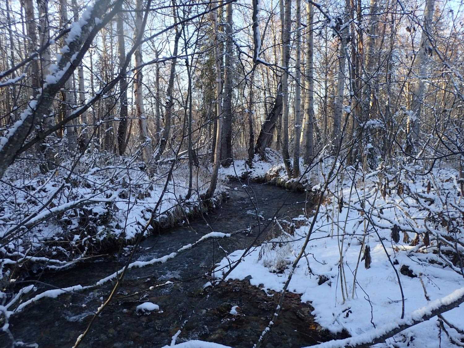
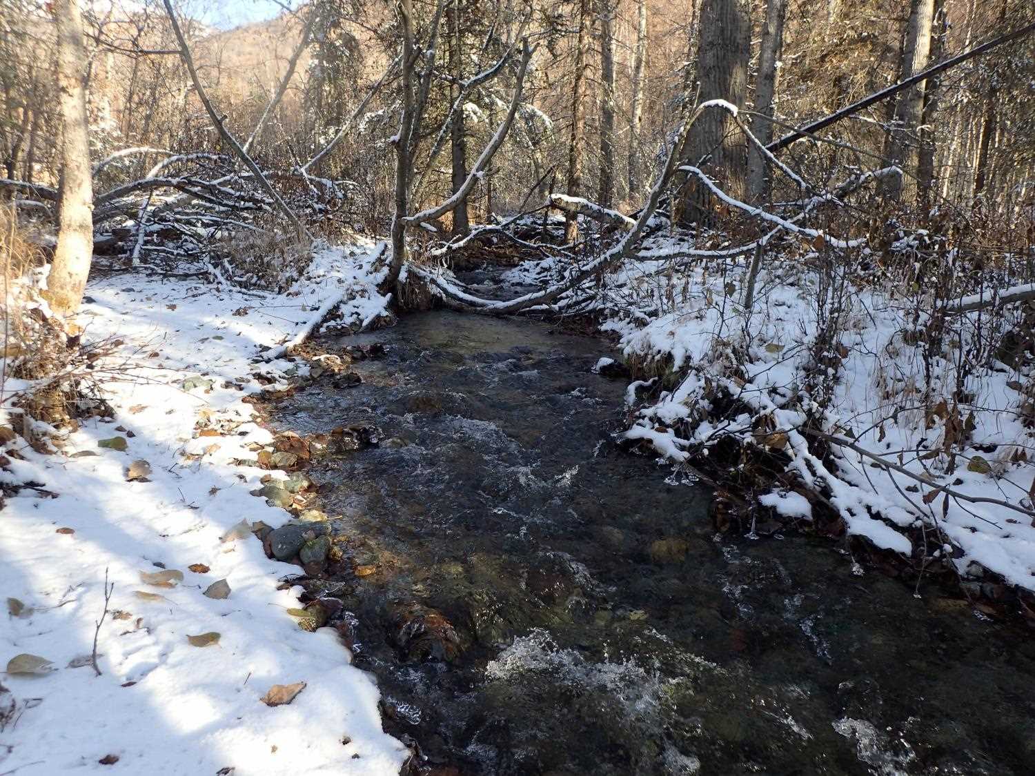
Stream Name: McRoberts Creek
Elevation:
Site Comments: DNR/ ADFG road to recreation area.
arrow to the right of the survey date below to choose a different report for this site.
Survey UPD20-MAU01
Project Supervisor: Gillian O'Doherty, Alaska Department of Fish and Game
— Anchorage, AK
Observers: Gillian O'Doherty, Kim Clark
Overall Fish Passage Rating:
Tidal: No
Backwatered: No
Step Pools: Yes
Construction Year: 2019
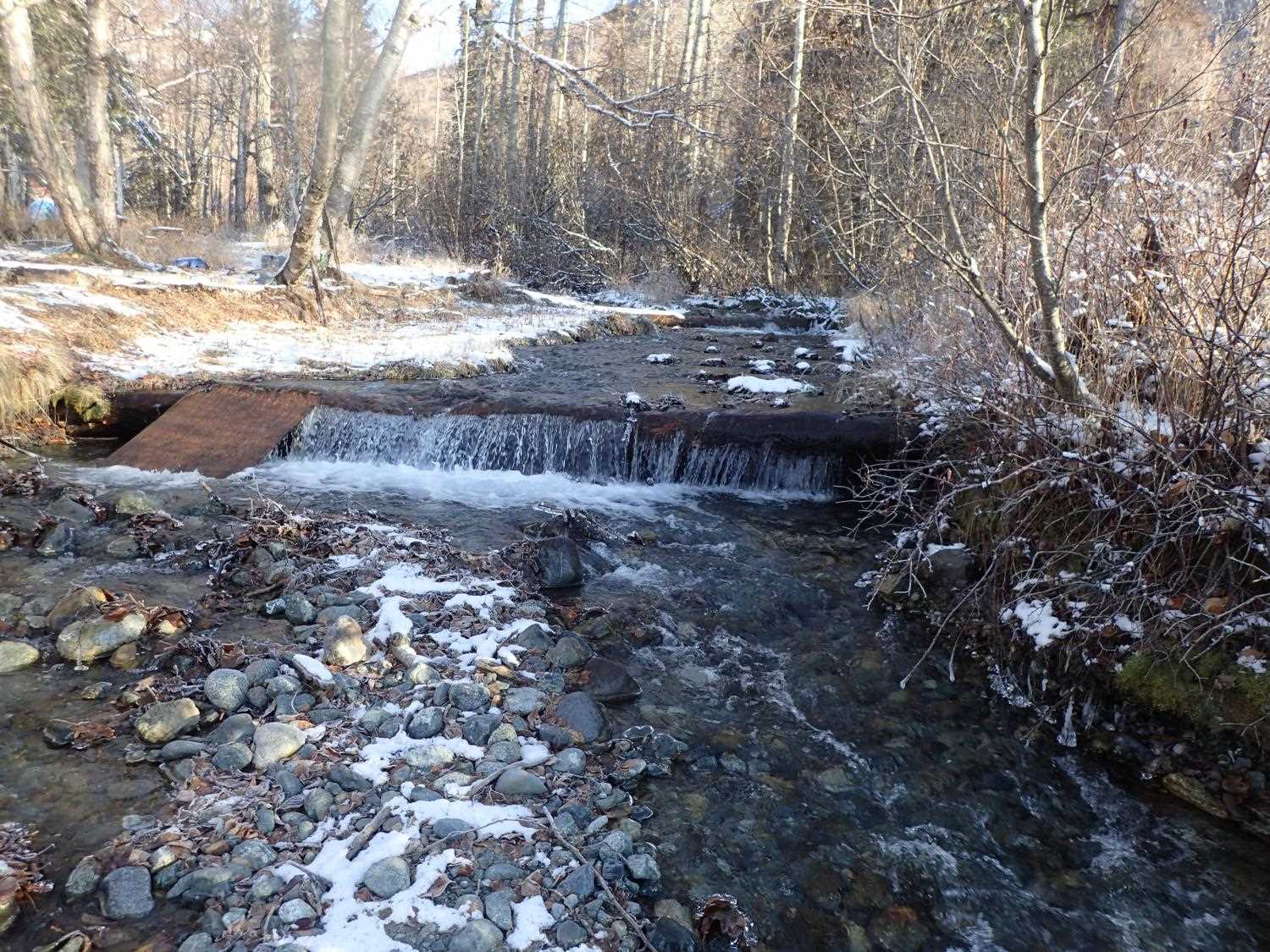
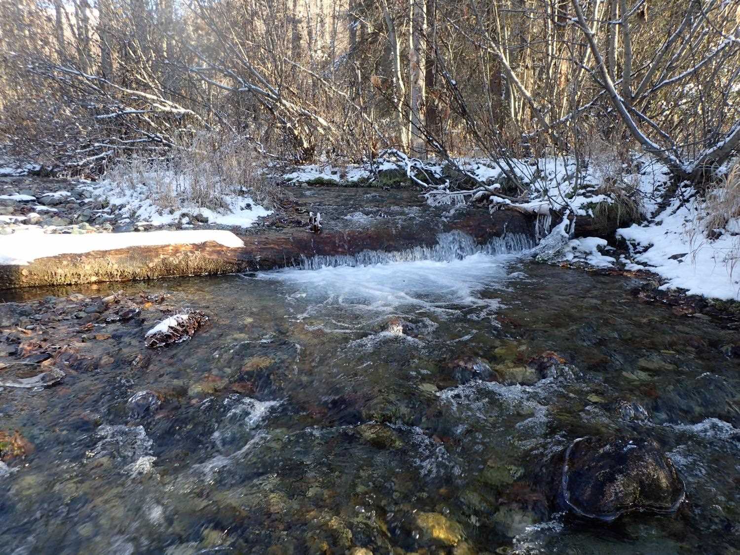
Comments: There are 2 natural steps above inlet formed by logs. Adult salmon observed above steps. The OHW was not re-measured in 2020; the stream widths that were taken in 2009 to determine the OHW was used for the OHW here. Embedded depth per the design and measurements.
Culvert Measurements
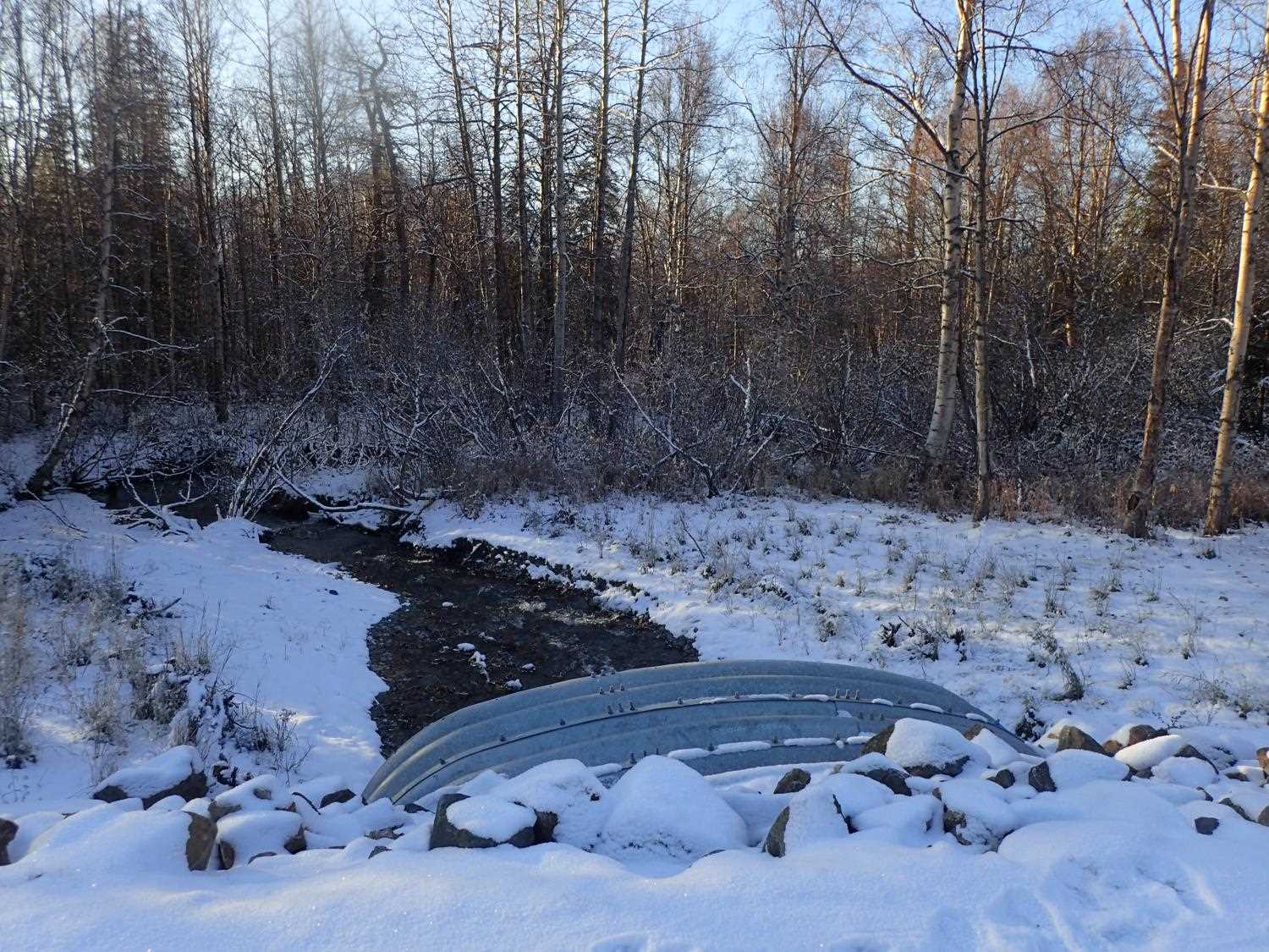
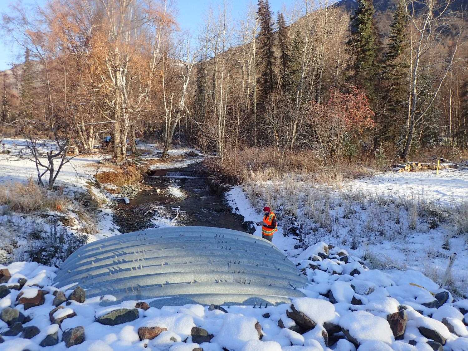
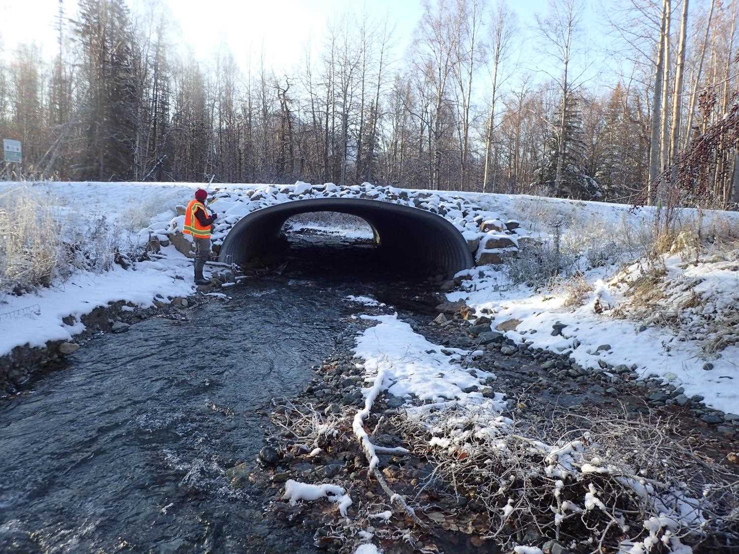
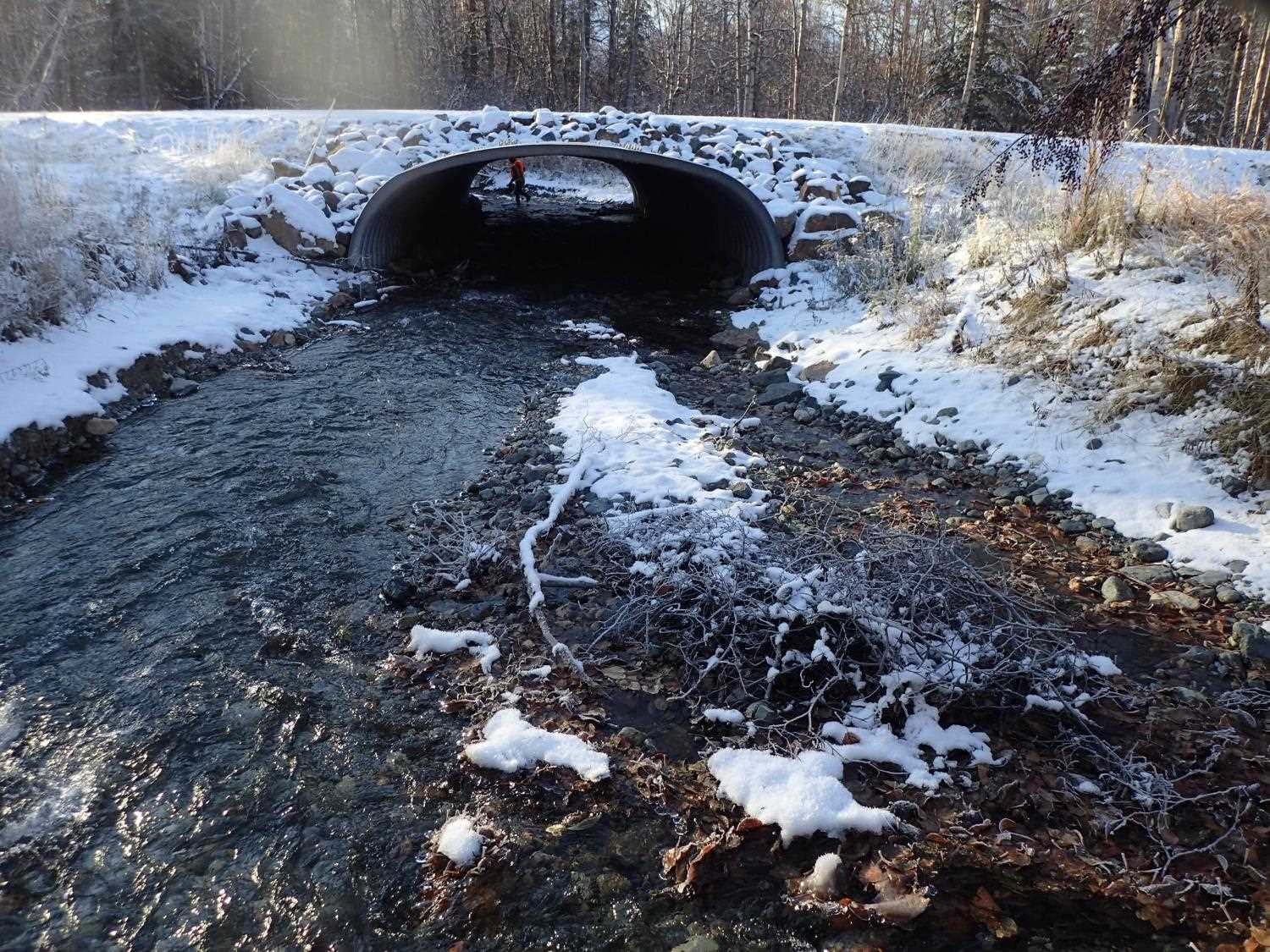
| ID: 1 | Structure Type: Box culvert (Structural aluminum plate) | Fish Passage Rating: | ||||||||||||||||||||||||||||||||||||||||||
|
|
|
||||||||||||||||||||||||||||||||||||||||||
Stream Measurements
|
|
No stream width data available.
Elevations
| Locator ID | Culvert Number |
River Distance (ft)1 |
Distance From Crossing (ft)2 |
Relative Elevation (ft) |
|---|---|---|---|---|
| D/S Thalweg (on riffle around corner) | 0.00 | 85.45 | ||
| D/S Water Surface Elev | 0.00 | 86.35 | ||
| D/S Thalweg (pool below step wood/gravel) | 37.00 | 86.47 | ||
| D/S Water Surface Elev | 37.00 | 87.26 | ||
| D/S Water Surface Elev | 41.00 | 87.86 | ||
| D/S Grade Ctrl (Thalweg) (top of wood/gravel step) | 41.00 | 87.18 | ||
| D/S Thalweg (middle of riffle below outlet) | 77.00 | 88.01 | ||
| D/S Water Surface Elev | 77.00 | 88.86 | ||
| Outlet Invert | 103.00 | 89.50 | ||
| D/S Water Surface Elev | 103.00 | 90.08 | ||
| Outlet Culvert Top | 103.00 | 95.89 | ||
| Inlet Culvert Invert | 166.00 | 91.83 | ||
| U/S Water Surface Elev | 166.00 | 92.45 | ||
| Inlet Culvert Top | 166.00 | 98.36 | ||
| U/S Thalweg (pool beloew wood step #1) | 235.00 | 94.09 | ||
| U/S Water Surface Elev | 235.00 | 94.99 | ||
| U/S Grade Ctrl (Thalweg) (top of wood step #1) | 237.50 | 96.37 | ||
| U/S Water Surface Elev | 237.50 | 96.79 | ||
| U/S Water Surface Elev | 284.00 | 98.03 | ||
| U/S Thalweg (pool beloew wood step #2) | 284.00 | 96.59 | ||
| U/S Water Surface Elev | 288.00 | 98.29 | ||
| U/S Grade Ctrl (Thalweg) (top of wood step #2) | 288.00 | 98.72 |
Notes:
- River distance is measured continuously throughout the survey reach along the thalweg of the stream.
- Measured from each end of the crossing along the thalweg of the stream.
Fish Sampling Efforts
No fish sampling occurred during this survey.
Fish Observations
No fish observations occurred during this survey.
Photos
Questions or comments about this report can be directed to dfg.dsf.webmaster@alaska.gov