Fish Passage Site 20400594
Coordinates (dec. deg.): 61.73315°, -148.91489°
Legal Description: S019N003E16
Region: South Central
Road Name: Jonesville Mine Road
Datum: NAD83
Quad Name / ITM: Anchorage C-6
AWC Stream #:
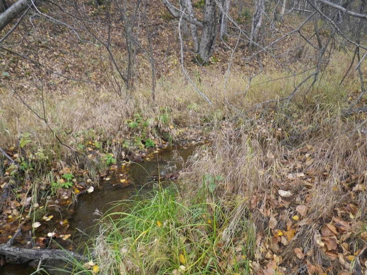
Stream Name: Eska Creek tributary
Elevation:
Site Comments: None
arrow to the right of the survey date below to choose a different report for this site.
Survey UPDATE-0594
Project Supervisor: Gillian O'Doherty, ADFG
Observers: Mark Eisenman
Overall Fish Passage Rating:
Tidal: No
Backwatered: No
Step Pools: No
Construction Year:
Site Observations:
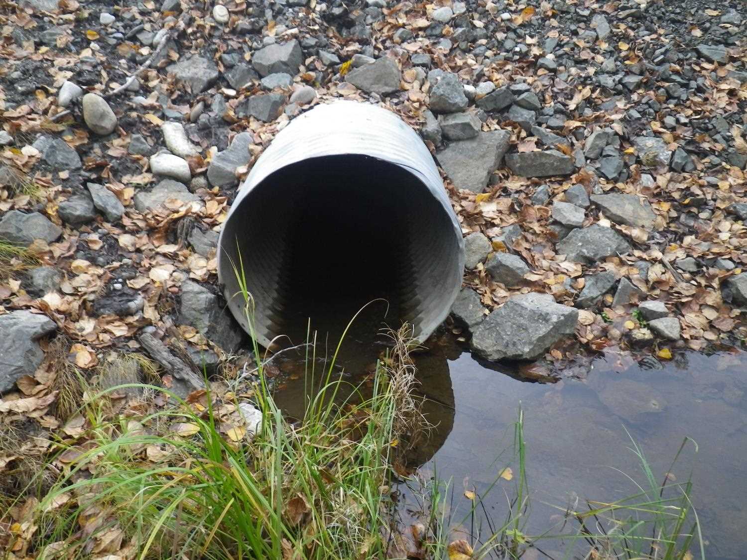
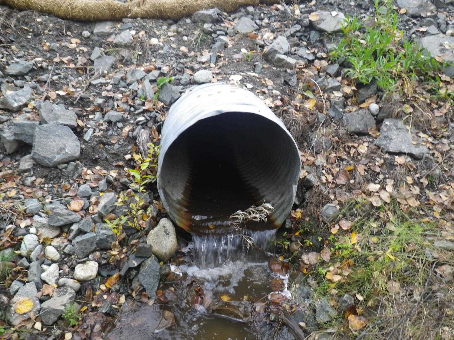
- Outfall height red
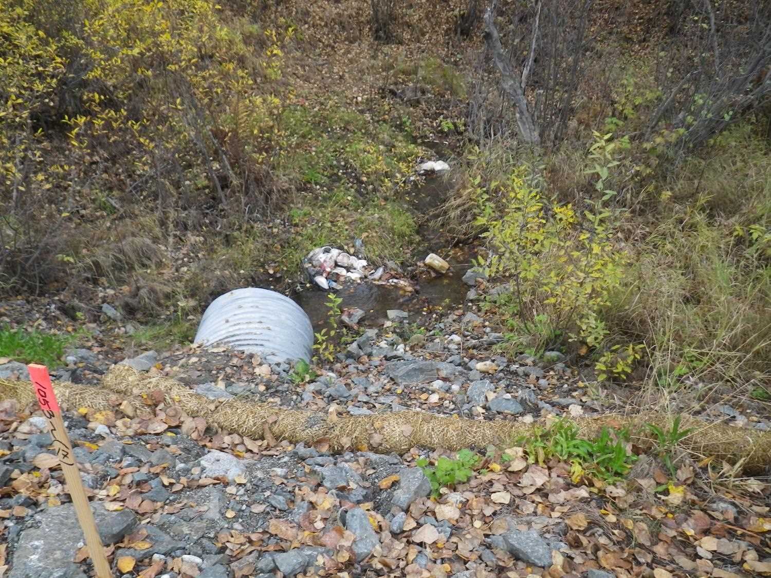
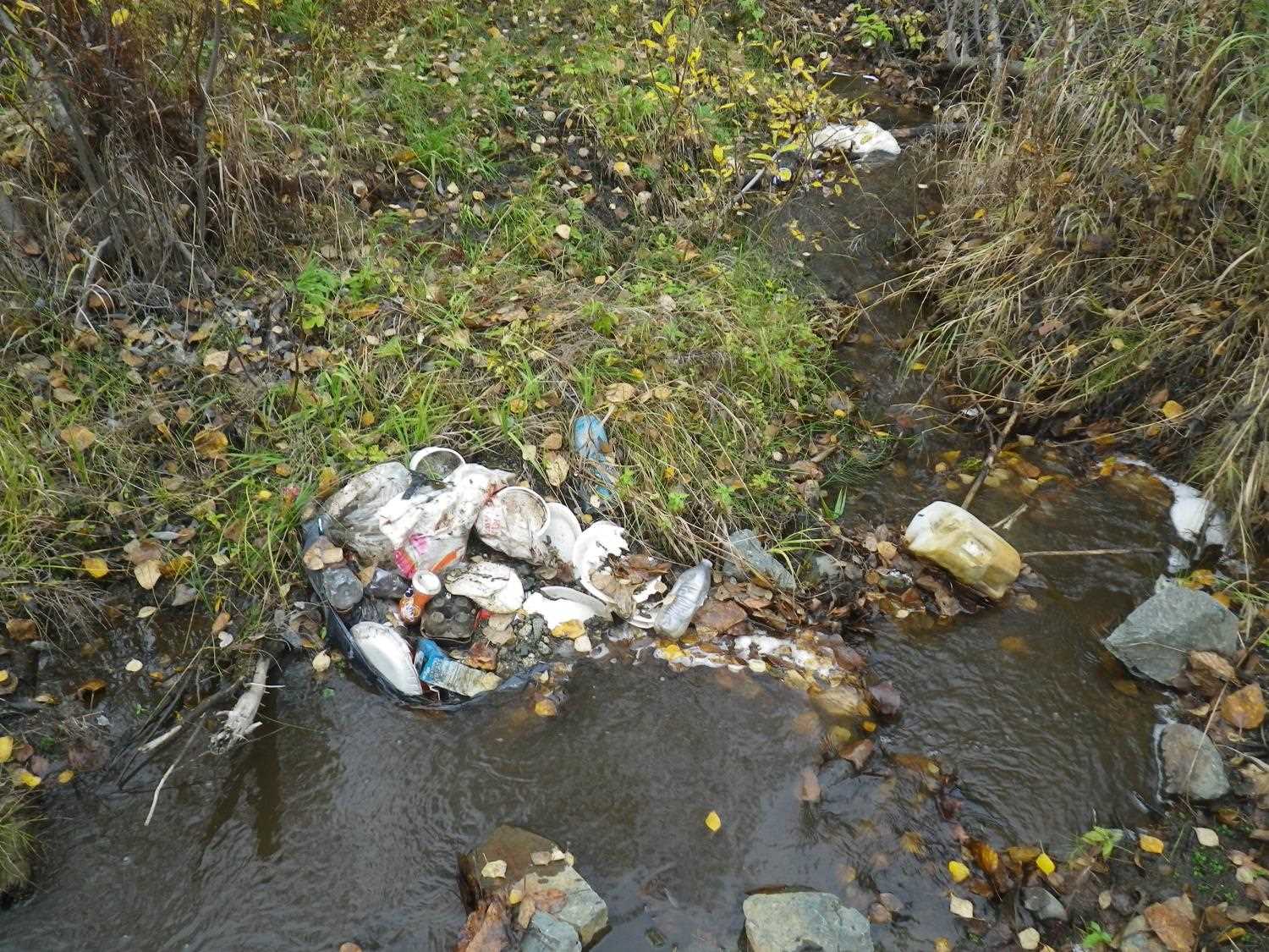
Comments: Site was visited for fish sampling as part of the 2016 Unmapped streams project. Site looks to have been replaced since 2010 assessment. In 2010 culvert was almost buried, now it has an outfall over 4 inches. No fish caught or observed during electrofishing. Shocked about 600 feet downstream. Site needs to be resurveyed.
Culvert Measurements
| ID: 1 | Structure Type: Circular pipe | Fish Passage Rating: | |||||||||||||||||||||||||||||||||||||||||
|
|
|
|||||||||||||||||||||||||||||||||||||||||
Comments: Outfall hieght greater than 4 inches. |
|||||||||||||||||||||||||||||||||||||||||||
Culvert Observations:
|
|||||||||||||||||||||||||||||||||||||||||||
Stream Measurements
|
|
No stream width data available.
Elevations
No elevation data available.
Fish Sampling Efforts
| Gear Type: Backpack Electrofisher (A) | ||
| EF Time(s): | Efficiency: | |
| Comments: 152 seconds of shocking time. | ||
Fish Observations
No fish observations occurred during this survey.
Photos


Questions or comments about this report can be directed to dfg.dsf.webmaster@alaska.gov