Fish Passage Site 20400592
Coordinates (dec. deg.): 61.73861°, -148.90591°
Legal Description: S019N003E15
Region: South Central
Road Name: Jonesville Mine Road
Datum: NAD83
Quad Name / ITM: Anchorage C-6
AWC Stream #:
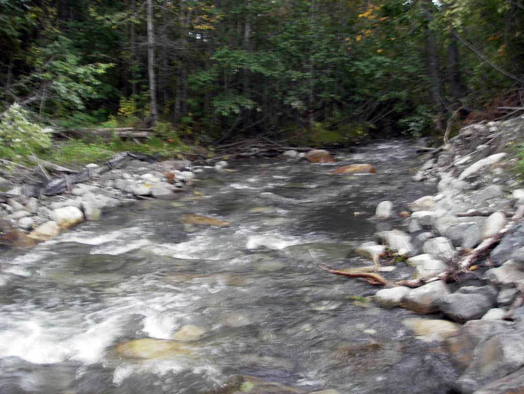
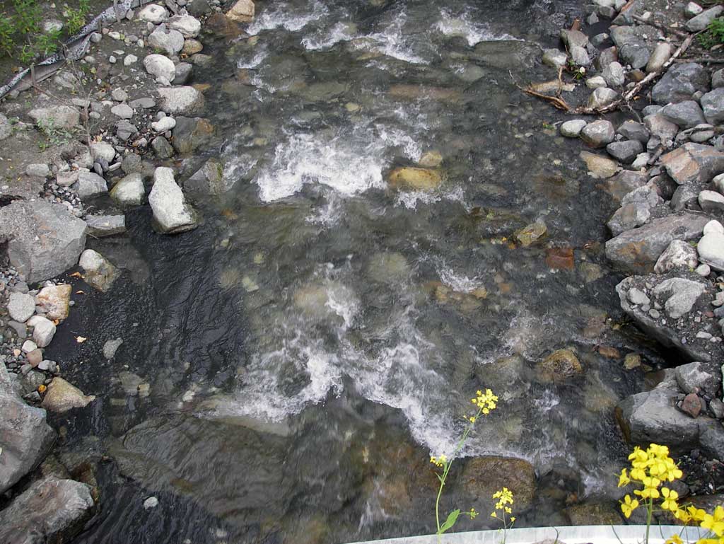
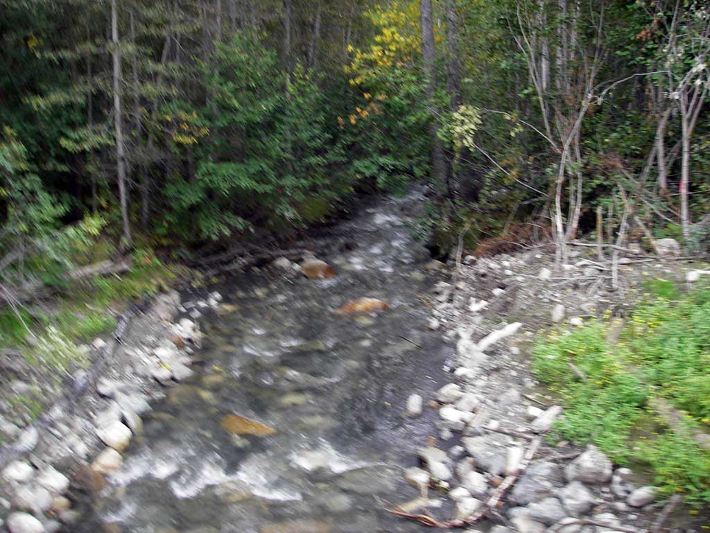
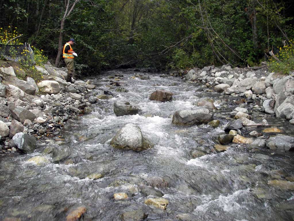
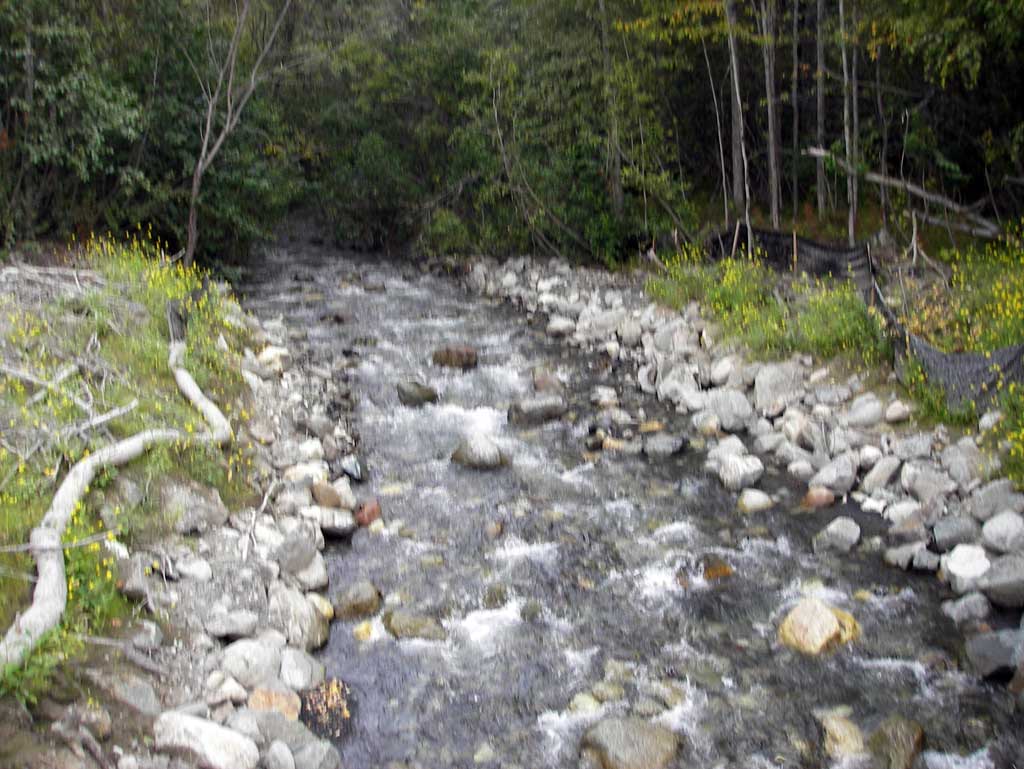
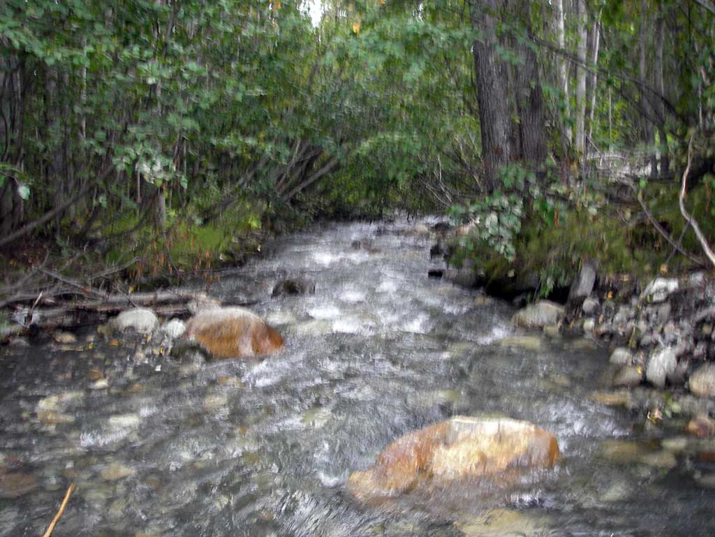
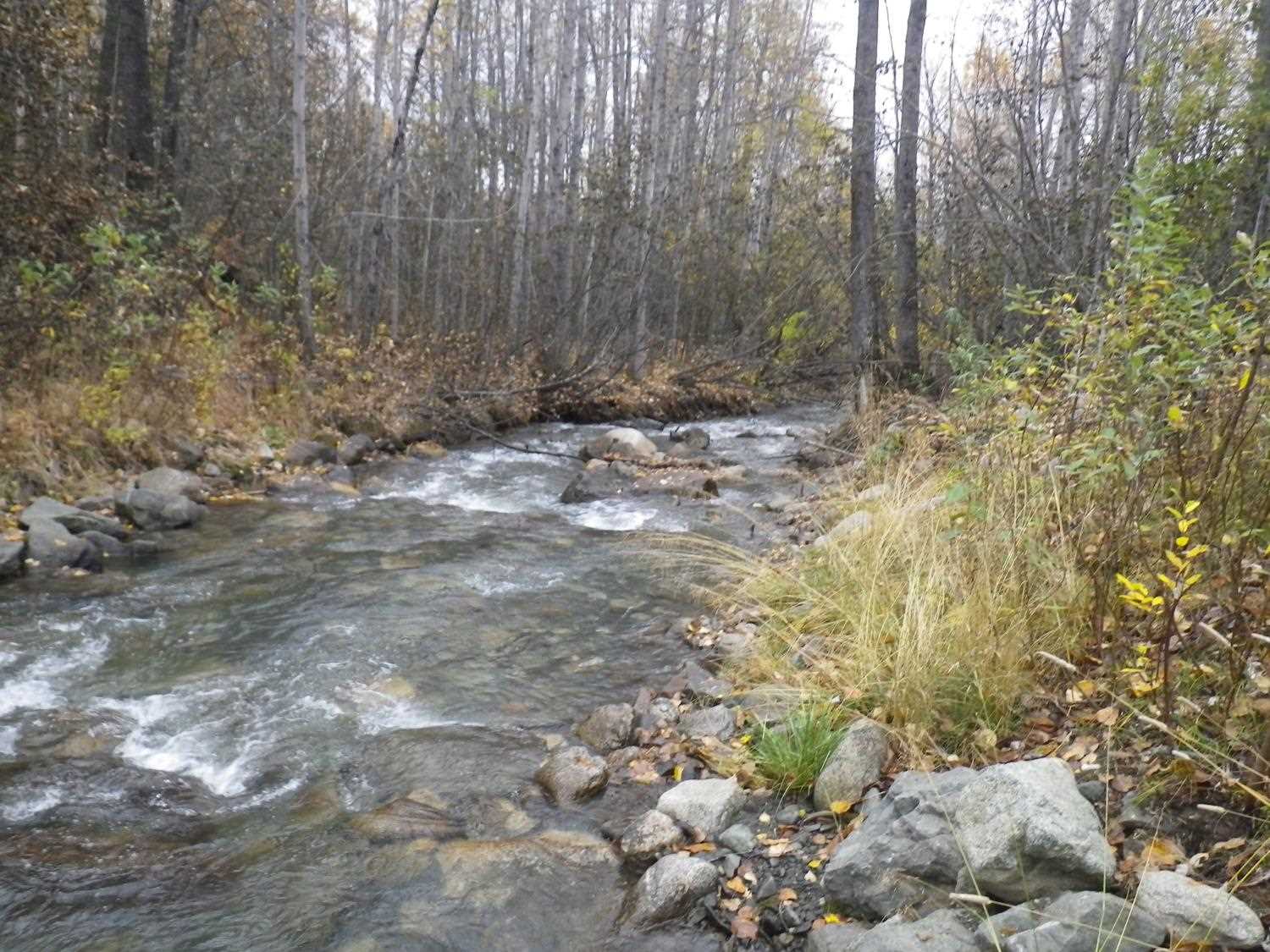
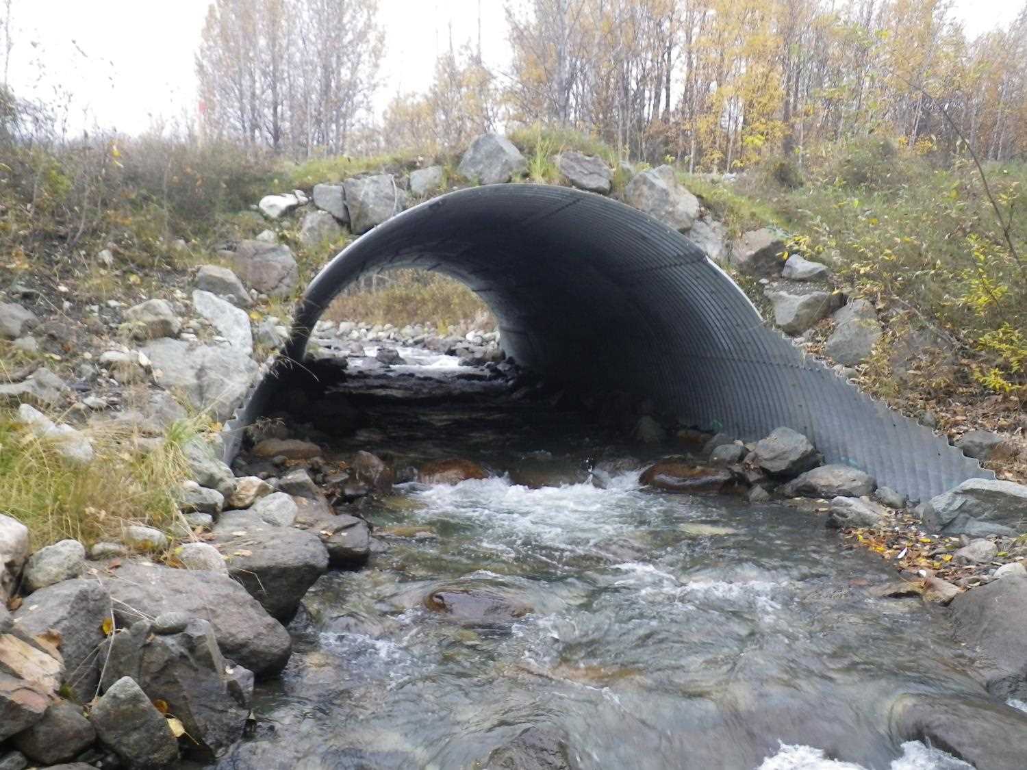
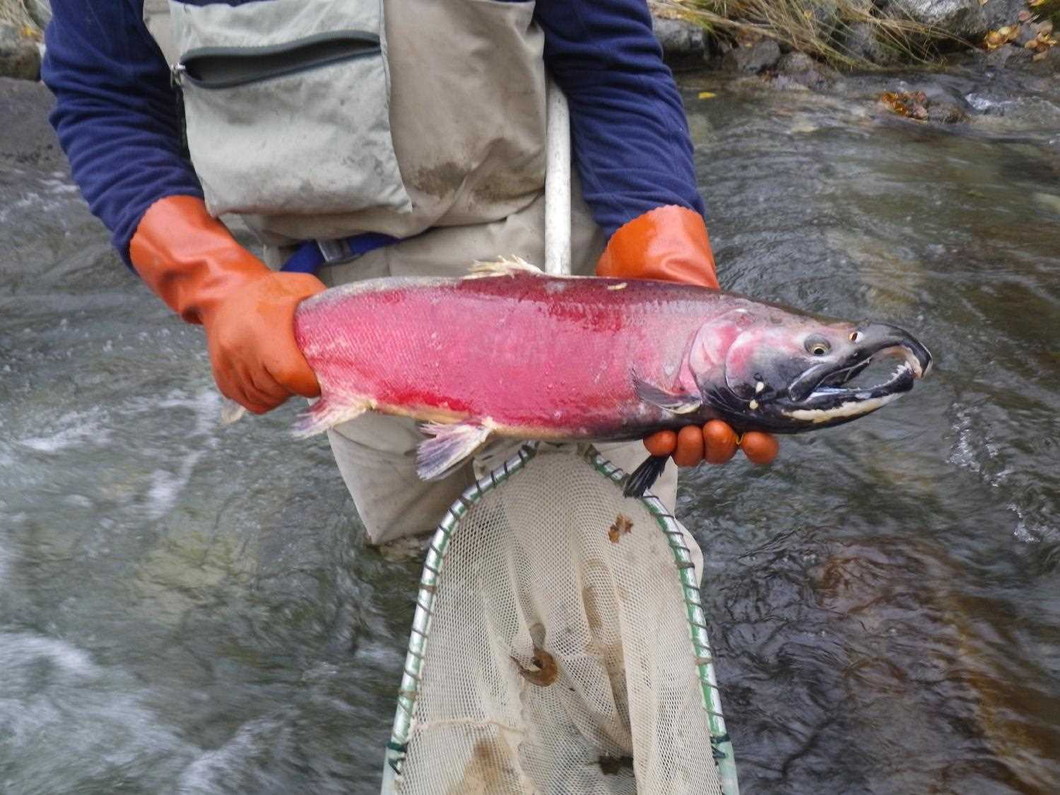
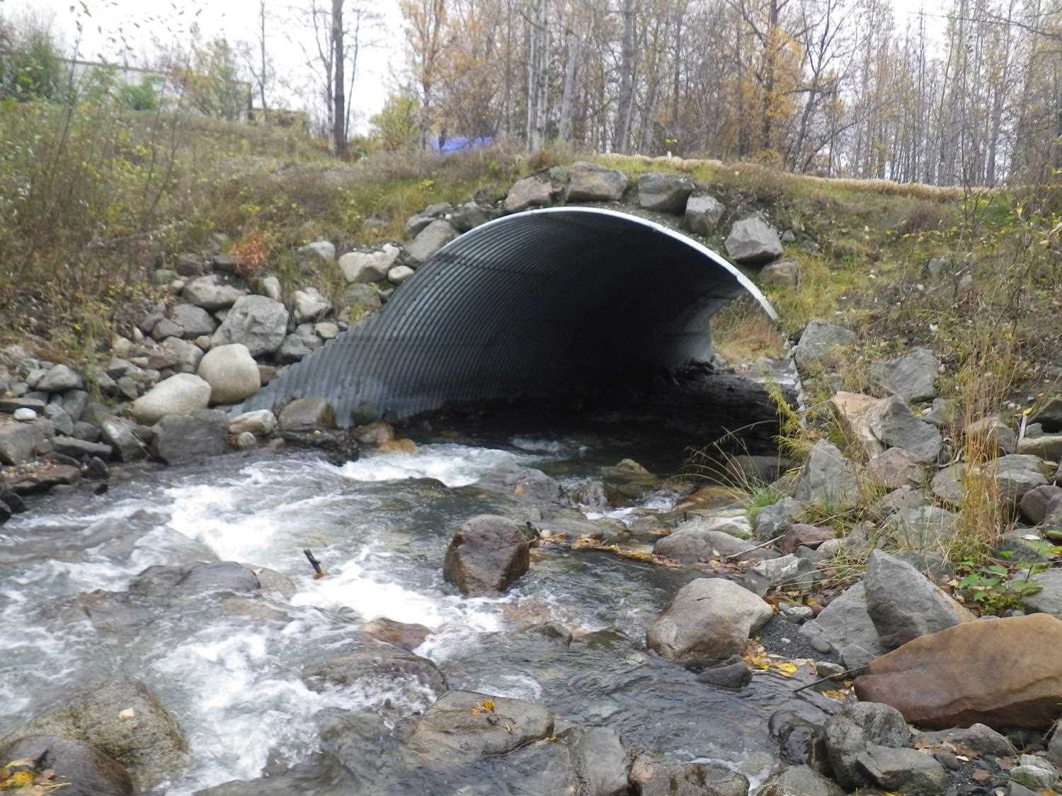
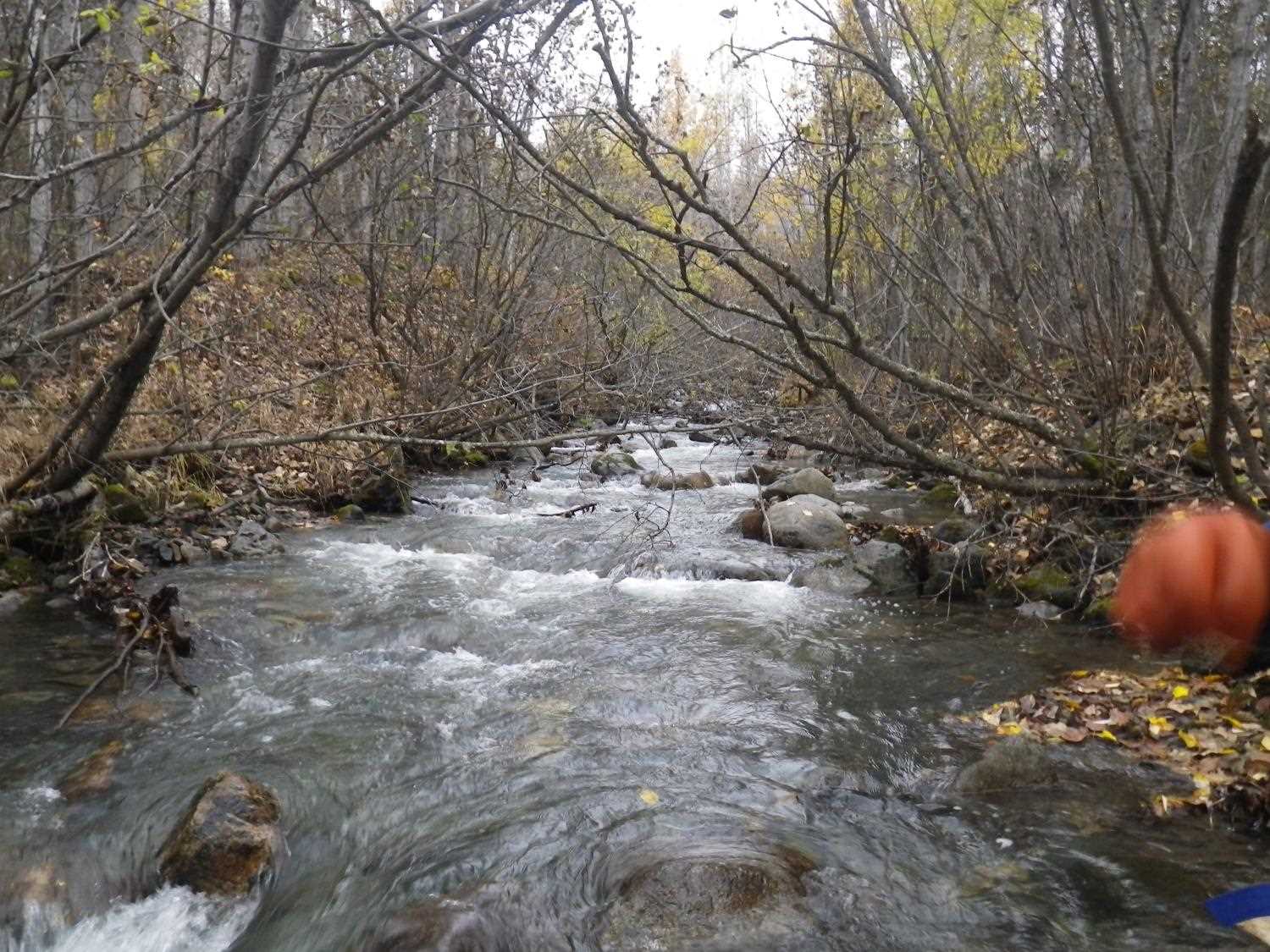
Stream Name: Eska Creek
Elevation:
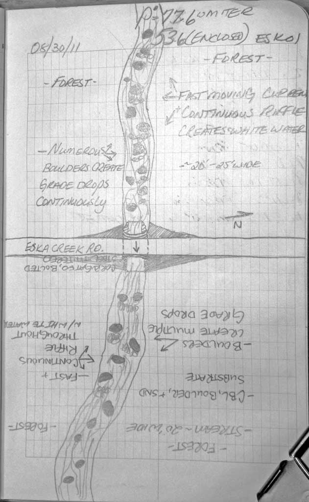
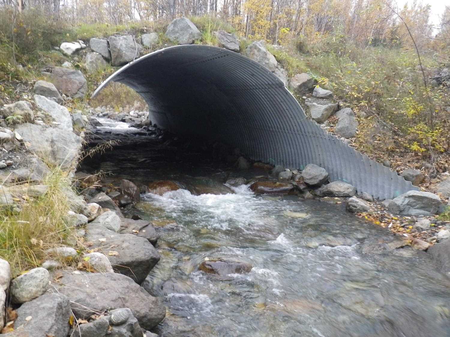
Site Comments: At end of DOT maintained road on Eska Creek mainstem, 2nd crossing upstream. Replaced in 2011.
arrow to the right of the survey date below to choose a different report for this site.
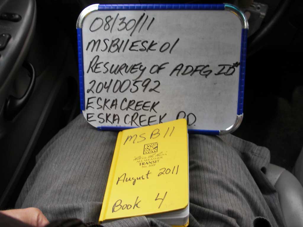
Survey MSB11-ESK01
Project Supervisor: Gillian O'Doherty, Alaska Department of Fish and Game
— Anchorage, AK
Observers: John Greuey, Abraham Gioffre
Overall Fish Passage Rating:
Tidal: No
Backwatered: No
Step Pools: No
Construction Year: 2011
Site Observations:
- None of this type
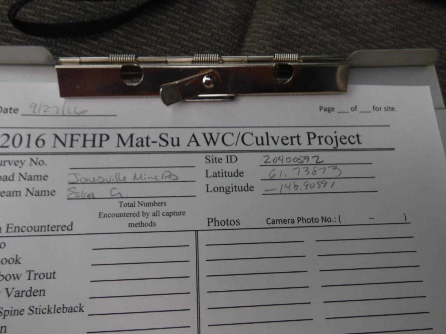
Comments: Replaced in 2011. **Updated site photos and fish sampling information added from 9/27/16 site visit from 2016 Sampling Unmapped Streams in the MSB project.
Culvert Measurements
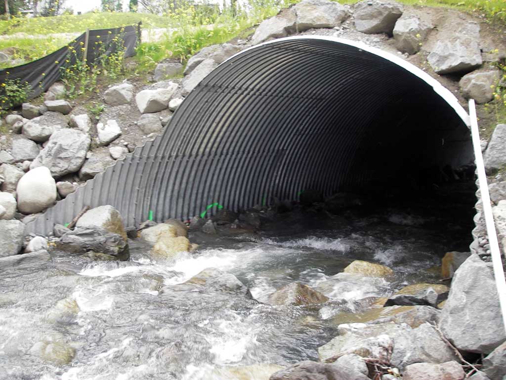
| ID: 1 | Structure Type: Pipe-arch (Structural steel plate) | Fish Passage Rating: | |||||||||||||||||||||||||||||||||||||||||
|
|
|
|||||||||||||||||||||||||||||||||||||||||
Culvert Observations:
|
|||||||||||||||||||||||||||||||||||||||||||
Stream Measurements
|
|
| Stream Width Type | Distance From Crossing (ft) |
Stream Width (ft) |
|---|---|---|
| Downstream ordinary high water | 131.0 | 22.00 |
| Downstream ordinary high water | 176.0 | 18.50 |
| Downstream ordinary high water | 208.0 | 19.50 |
Elevations
| Locator ID | Culvert Number |
River Distance (ft)1 |
Distance From Crossing (ft)2 |
Relative Elevation (ft) |
|---|---|---|---|---|
| D/S Water Surface Elev (water surface elevation used for gradient) | 0.00 | 91.84 | ||
| D/S Water Surface Elev (water surface elevation used for gradient) | 184.00 | 99.18 | ||
| D/S Water Surface Elev | 191.00 | 99.26 | ||
| D/S Thalweg (profile point in riffle) | 191.00 | 98.57 | ||
| Top of Pipe Outlet | 250.00 | 110.37 | ||
| Outlet Invert (Outlet invert at enclosure end of mitered pipe on substrate) | 250.00 | 99.43 | ||
| D/S Water Surface Elev (Outlet water surface elev) | 250.00 | 100.43 | ||
| Road Elev | 275.00 | 113.69 | ||
| Inlet Culvert Top | 303.60 | 112.19 | ||
| Inlet Culvert Invert (Inlet invert at enclosure end of mitered pipe on substrate) | 303.60 | 100.53 | ||
| U/S Water Surface Elev (Inlet water surface elev) | 303.60 | 102.54 | ||
| U/S Thalweg (profile pt in riffle) | 345.60 | 104.13 | ||
| U/S Water Surface Elev | 345.60 | 104.39 |
Notes:
- River distance is measured continuously throughout the survey reach along the thalweg of the stream.
- Measured from each end of the crossing along the thalweg of the stream.
Fish Sampling Efforts
No fish sampling occurred during this survey.
Fish Observations
| Species: | Life History: | ||
| Total Fish Observed: | Fish Measured: | Fork Lengths (mm) Min: Max: Mean: | |
| Collected/Observed by Gear Type: | |||
Photos


Questions or comments about this report can be directed to dfg.dsf.webmaster@alaska.gov