Fish Passage Site 20400244
Coordinates (dec. deg.): 61.08694°, -149.82243°
Legal Description: S012N003W33
Region: South Central
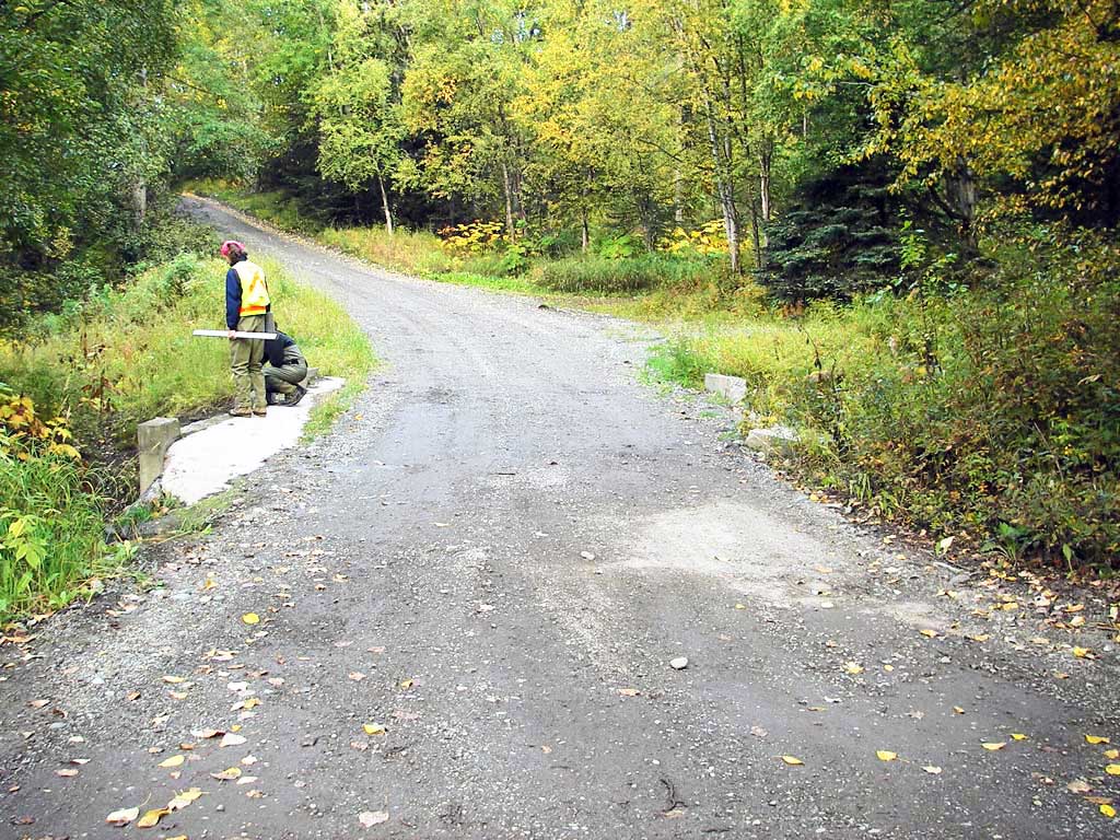
Road Name: Porcupine Trail
Datum: NAD83
Quad Name / ITM: Anchorage A-8
AWC Stream #:
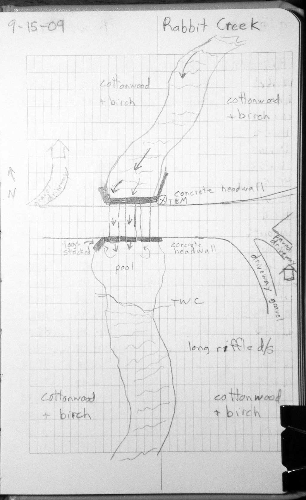
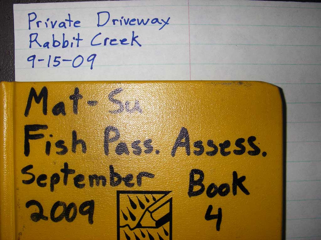
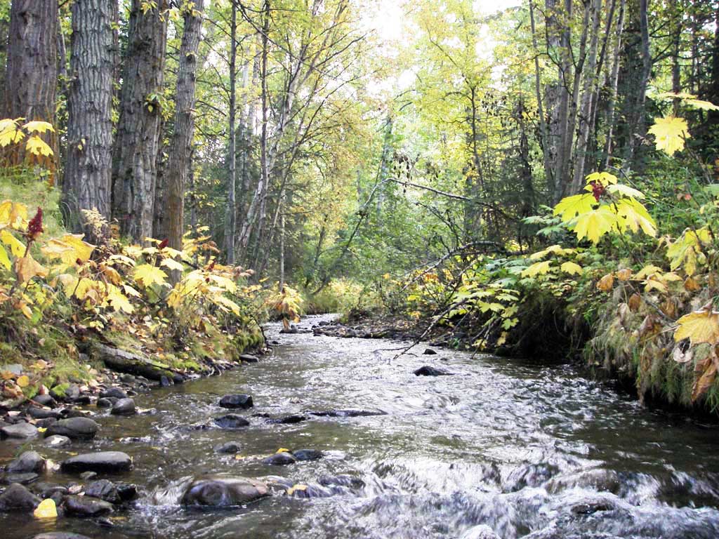
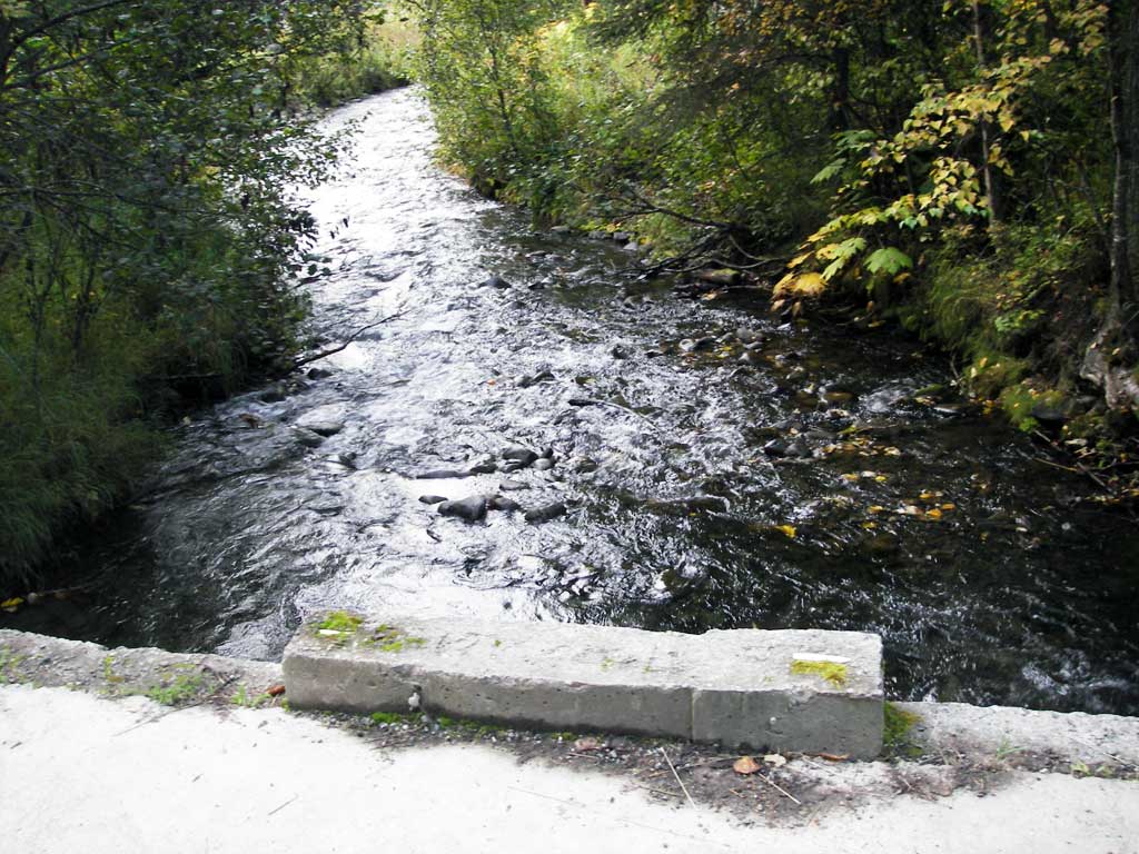
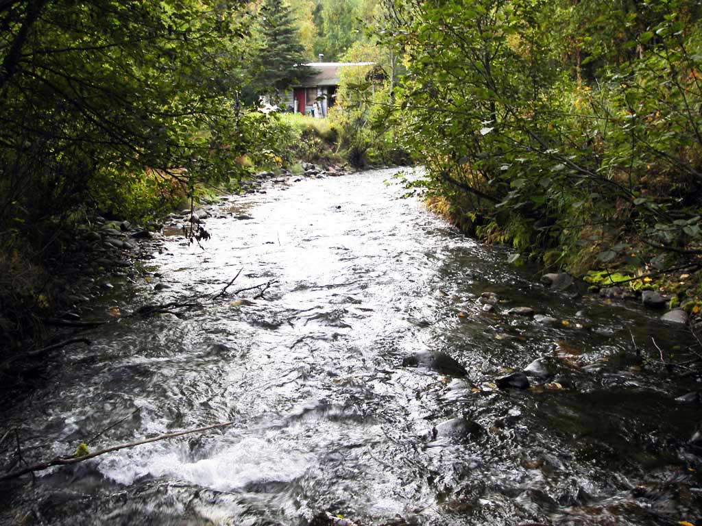
Stream Name: Rabbit Creek
Elevation:
Site Comments: None
arrow to the right of the survey date below to choose a different report for this site.
Survey UPDATE-POT01
Project Supervisor: Gillian O'Doherty, ADFG
Observers: Gillian O'Doherty, Ben Histand, Heidi Zimmer
Overall Fish Passage Rating:
Tidal: No
Backwatered: No
Step Pools: No
Construction Year:
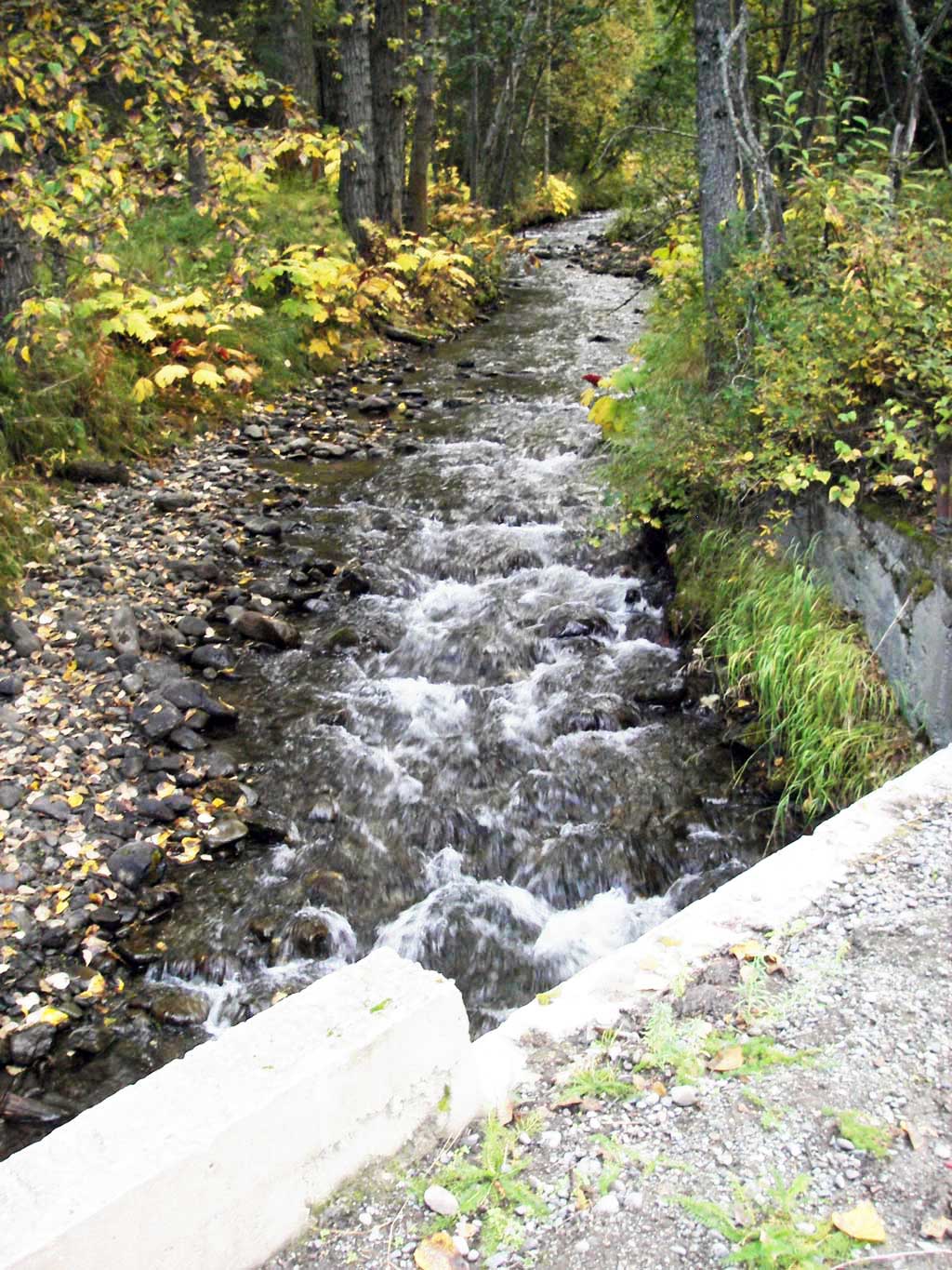
Site Observations:
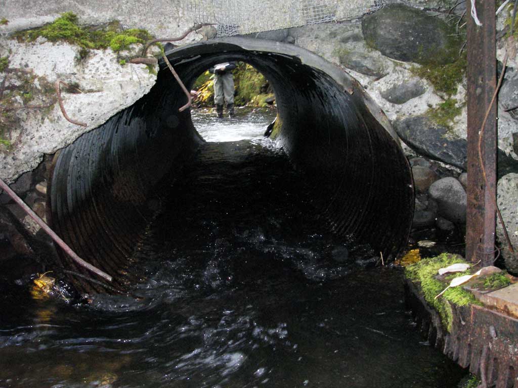
- Culvert gradient red
- Outfall height red
- Constriction ratio red
- Compound gradient in pipe
- Mechanical damage or joints parting
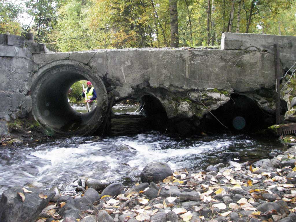
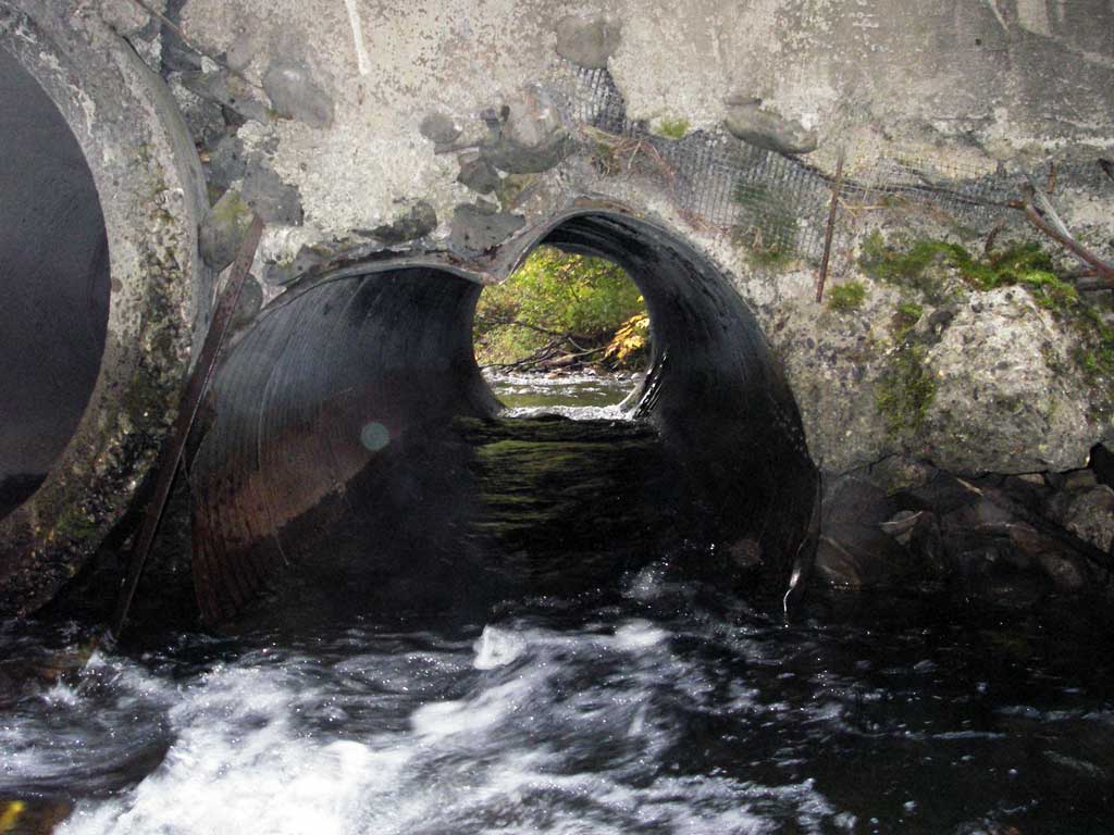
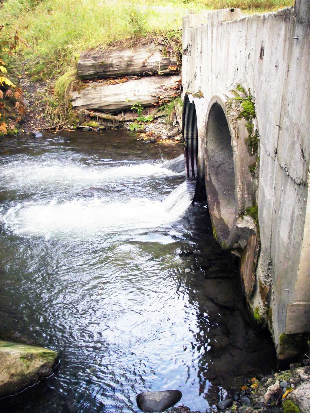
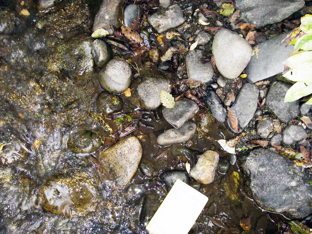
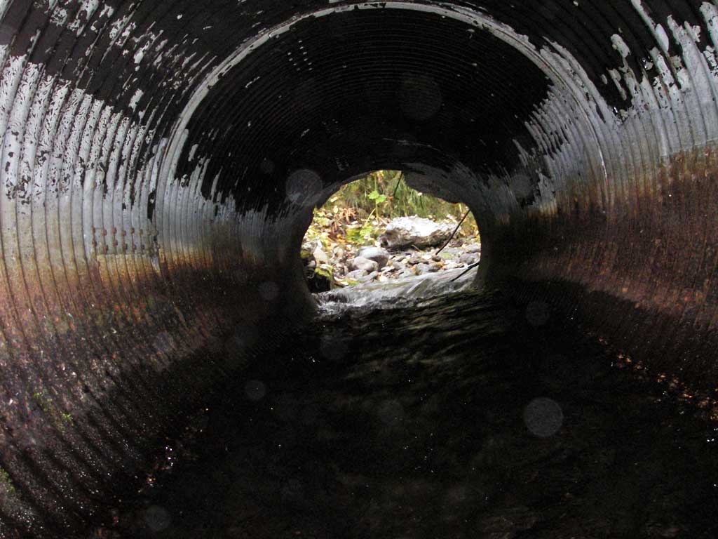
Comments: Fish carcasses observed below culvert, probably pinks. Large rocks in pipe 2 create hydraulic jump.
Culvert Measurements
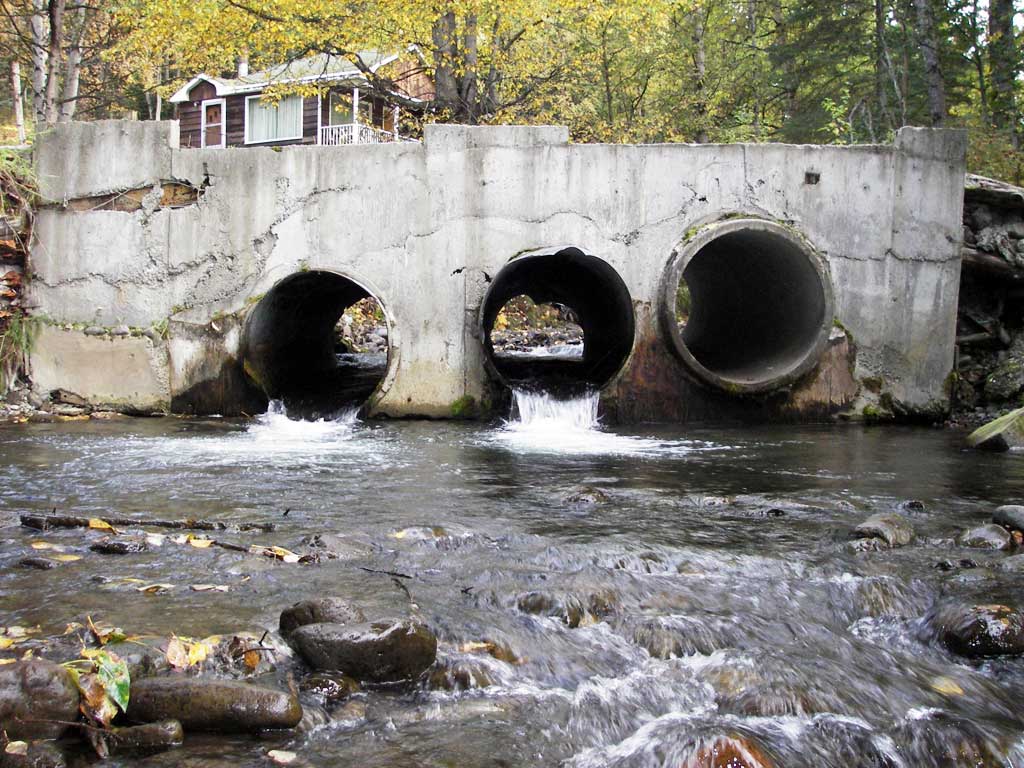
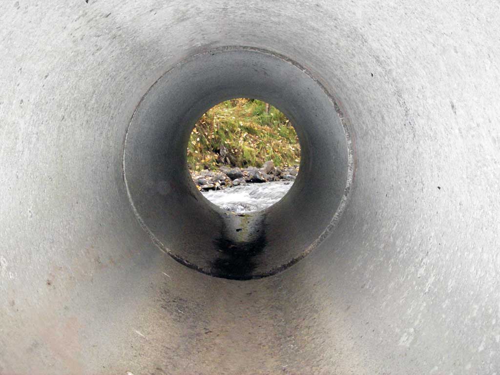
| ID: 1 | Structure Type: Circular pipe (Reinforced concrete) | Fish Passage Rating: | |||||||||||||||||||||||||||||||||||||||||
|
|
|
|||||||||||||||||||||||||||||||||||||||||
Culvert Observations:
|
|||||||||||||||||||||||||||||||||||||||||||
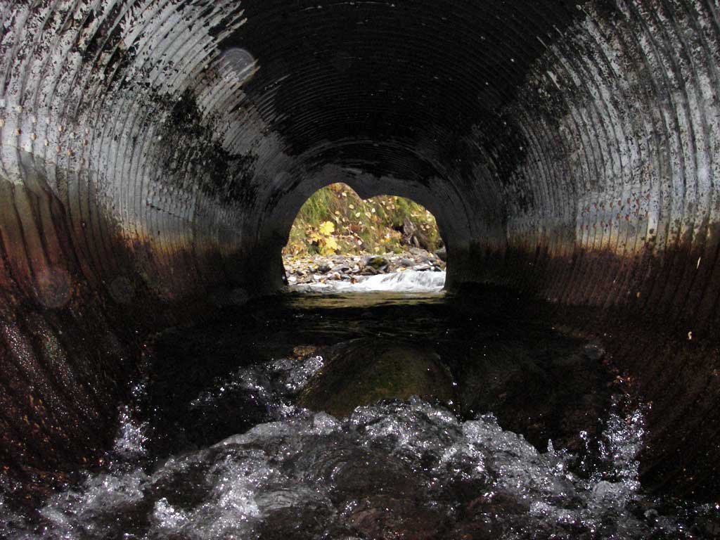
| ID: 2 | Structure Type: Circular pipe (Structural steel plate) | Fish Passage Rating: | |||||||||||||||||||||||||||||||||||||||||
|
|
|
|||||||||||||||||||||||||||||||||||||||||
Comments: Large rocks in culvert create hydraulic jump. (CG) |
|||||||||||||||||||||||||||||||||||||||||||
Culvert Observations:
|
|||||||||||||||||||||||||||||||||||||||||||
| ID: 3 | Structure Type: Circular pipe (Structural steel plate) | Fish Passage Rating: | |||||||||||||||||||||||||||||||||||||||||
|
|
|
|||||||||||||||||||||||||||||||||||||||||
Culvert Observations:
|
|||||||||||||||||||||||||||||||||||||||||||
Stream Measurements
|
|
| Stream Width Type | Distance From Crossing (ft) |
Stream Width (ft) |
|---|---|---|
| Upstream ordinary high water | 55.0 | 14.50 |
| Upstream ordinary high water | 90.0 | 15.50 |
| Upstream ordinary high water | 135.0 | 13.00 |
Elevations
| Locator ID | Culvert Number |
River Distance (ft)1 |
Distance From Crossing (ft)2 |
Relative Elevation (ft) |
|---|---|---|---|---|
| Road Elev | 99.05 | |||
| D/S Thalweg | 0.00 | 89.99 | ||
| D/S Water Surface Elev | 0.00 | 90.37 | ||
| D/S Tailcrest or 1st Thalweg (TWC) | 15.00 | 91.13 | ||
| D/S Water Surface Elev | 15.00 | 91.74 | ||
| Misc. (Bottom of outlet pool scour hole from pipe 3) | 3 | 35.80 | 89.37 | |
| Misc. (Bottom of outlet pool scour hole from pipe 2.) | 2 | 36.40 | 89.17 | |
| Misc. (Profile directly below pipe 3 outlet) | 3 | 41.00 | 90.26 | |
| Outlet Invert (Bottom of pipe) | 3 | 41.00 | 91.57 | |
| Misc. (Profile directly bellow pipe 2 outlet.) | 2 | 41.00 | 90.62 | |
| Outlet Invert | 2 | 41.00 | 92.22 | |
| Outlet Invert | 1 | 41.00 | 92.74 | |
| D/S Water Surface Elev (Tailwater surface of outlet pool below pipes 2 and 3.) | 41.00 | 91.74 | ||
| Inlet Culvert Invert | 3 | 62.00 | 92.11 | |
| Inlet Culvert Invert | 2 | 62.00 | 92.13 | |
| U/S Headwater | 3 | 62.00 | 93.10 | |
| U/S Headwater | 2 | 62.00 | 93.21 | |
| U/S Headwater | 1 | 62.00 | 93.36 | |
| Inlet Culvert Invert | 1 | 62.00 | 93.49 | |
| U/S Grade Ctrl (Thalweg) | 107.00 | 94.80 | ||
| U/S Water Surface Elev | 107.00 | 95.44 |
Notes:
- River distance is measured continuously throughout the survey reach along the thalweg of the stream.
- Measured from each end of the crossing along the thalweg of the stream.
Fish Sampling Efforts
| Gear Type: Visual Observation, Ground (A) | ||
| Comments: Salmon carcasses observed below culverts, prossibly pinks. | ||
Fish Observations
No fish observations occurred during this survey.
Photos
Questions or comments about this report can be directed to dfg.dsf.webmaster@alaska.gov