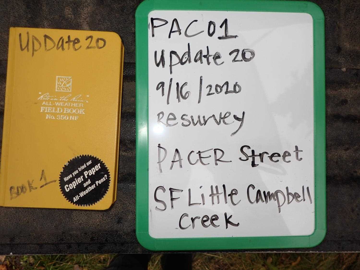
Fish Passage Site 20400107
Coordinates (dec. deg.): 61.12818°, -149.79664°
Legal Description: S012N003W15
Region: South Central
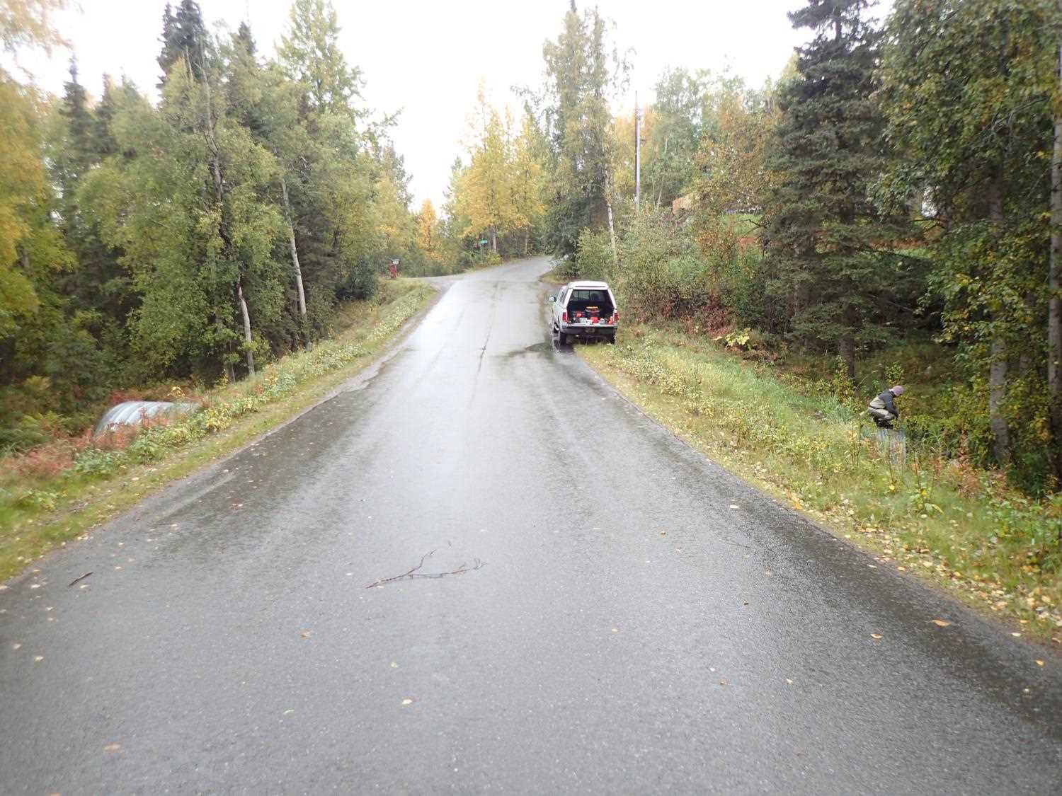
Road Name: Pacer Road
Datum: NAD83
Quad Name / ITM: Anchorage A-8
AWC Stream #: 247-60-10340-2018
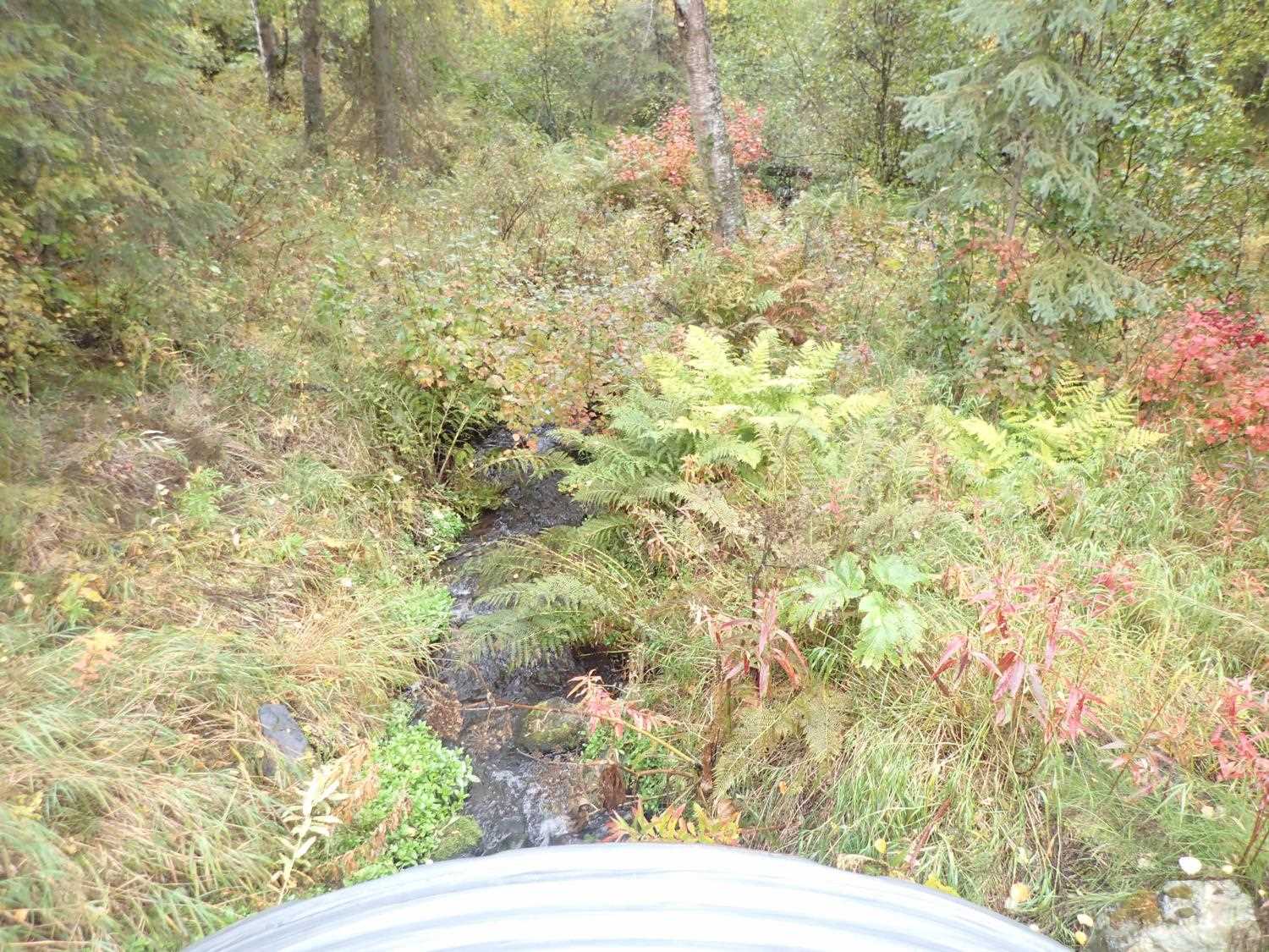
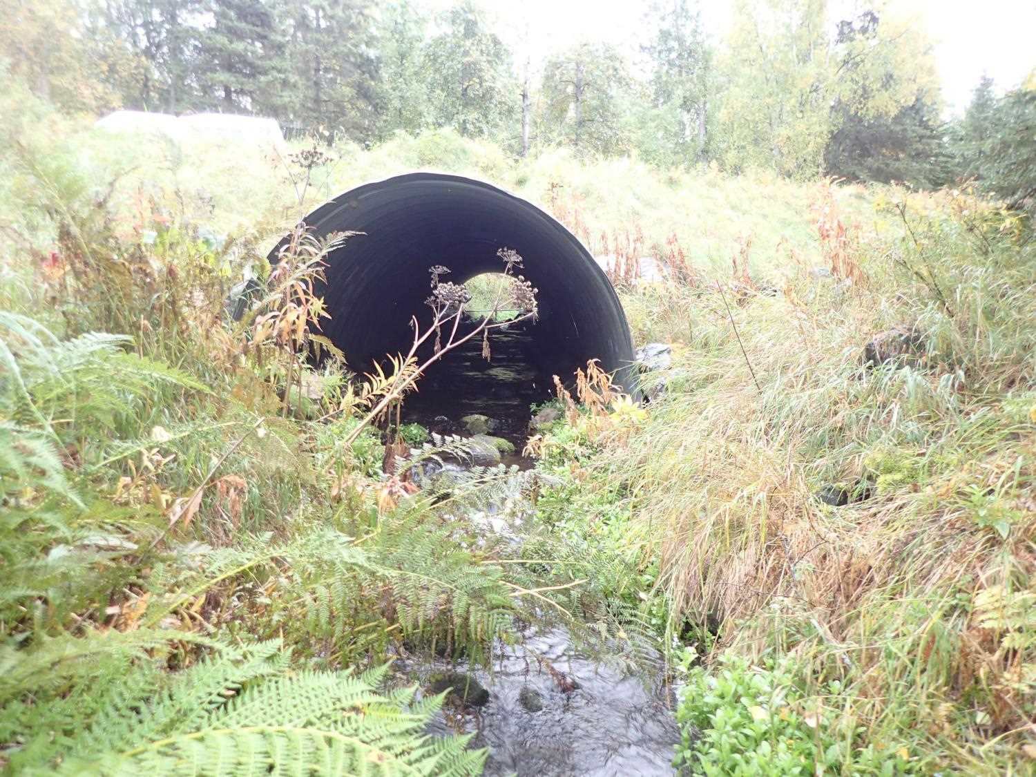
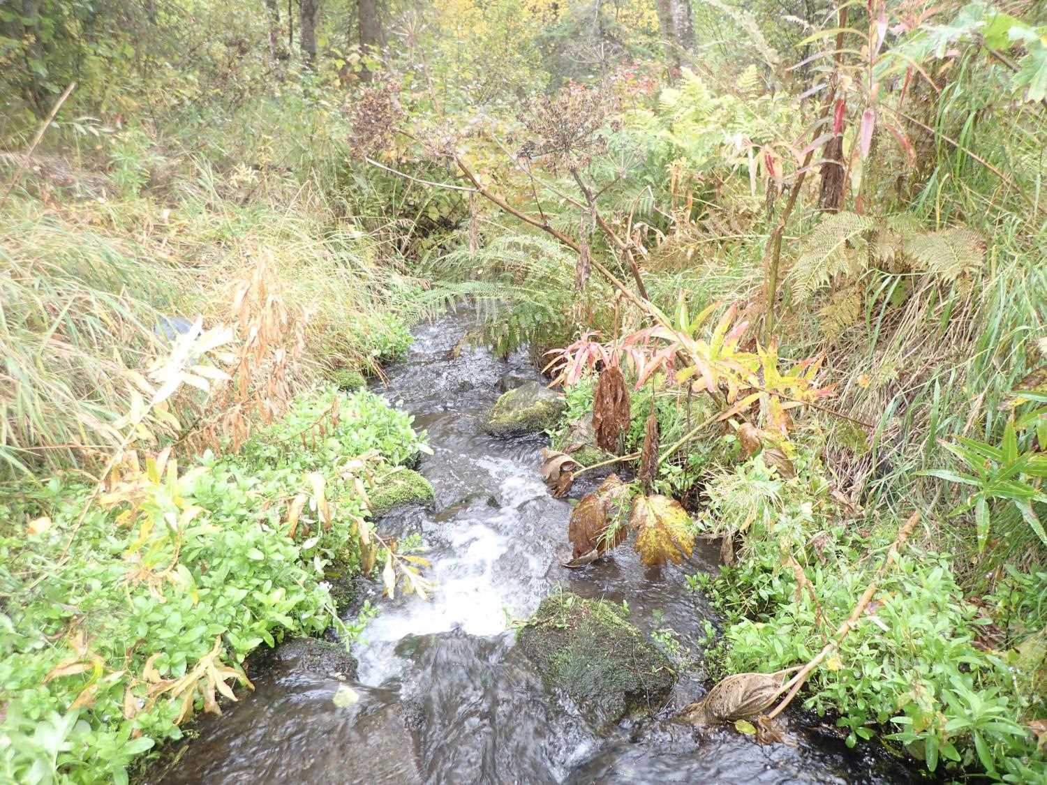
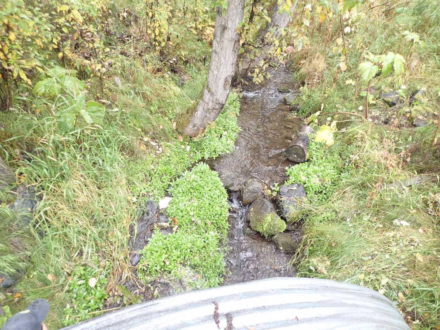
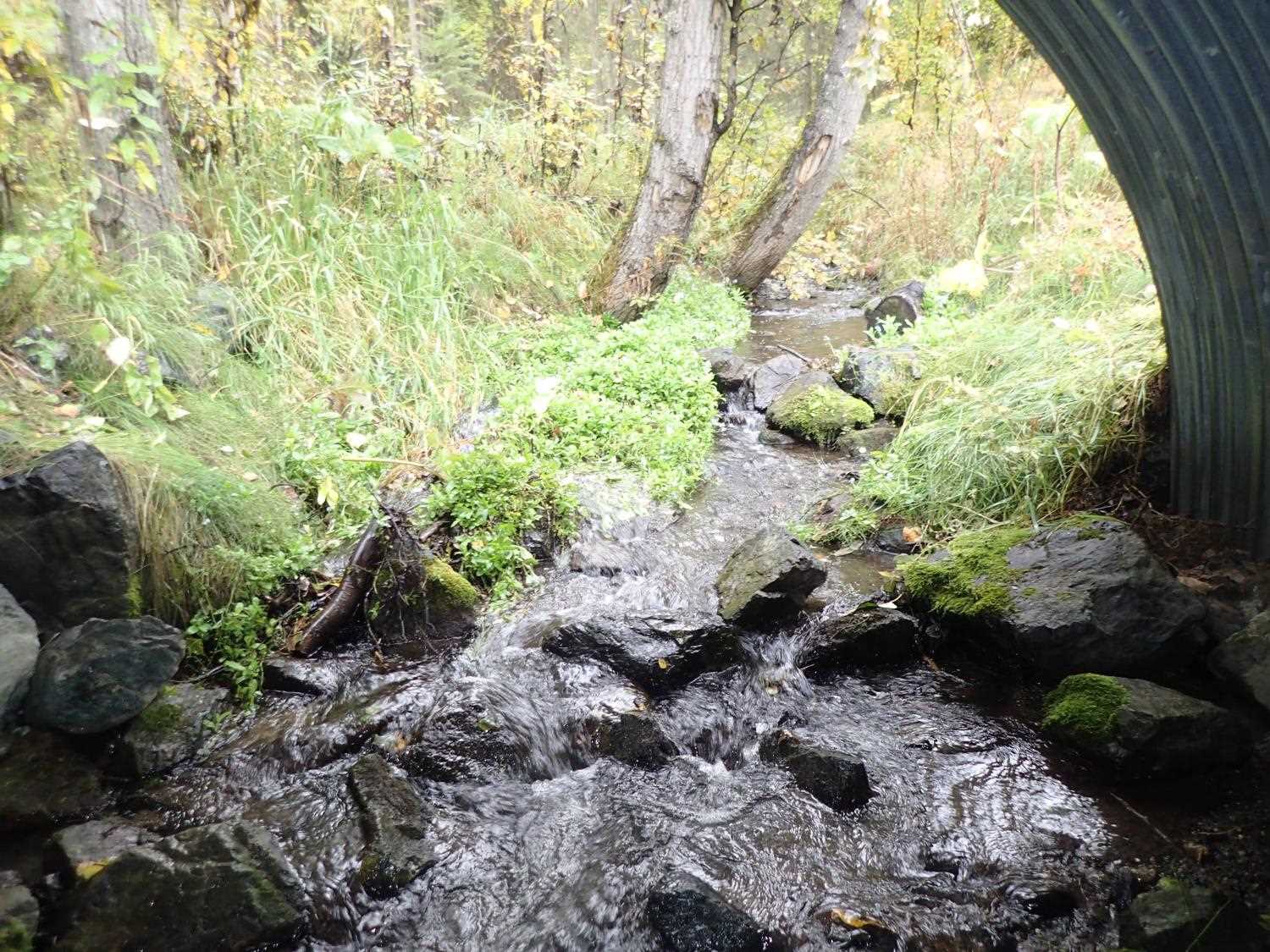
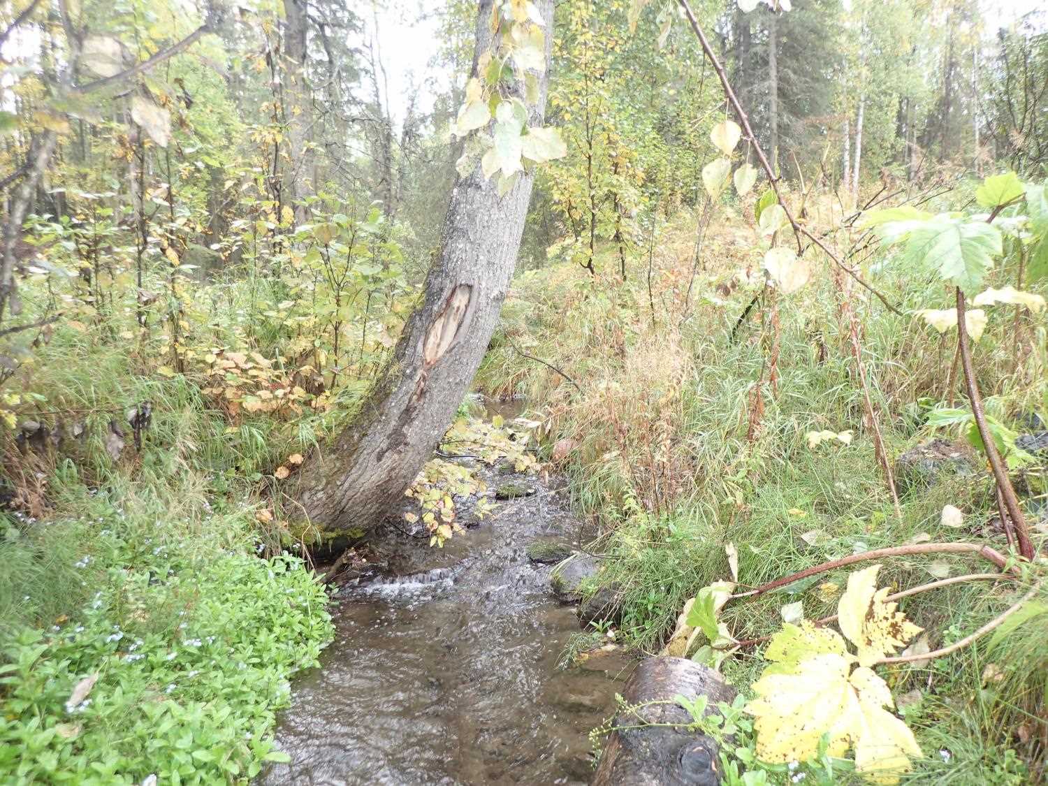
Stream Name: Little Campbell Creek South Fork
Elevation:
Site Comments: CAMBELL CREEK WATERSHED
arrow to the right of the survey date below to choose a different report for this site.
Survey UPD20-PAC01
Project Supervisor: Gillian O'Doherty, Alaska Department of Fish and Game
— Anchorage, AK
Observers: Gillian O'Doherty, Kim Clark, Michael Mazzacavallo
Overall Fish Passage Rating:
Tidal: No
Backwatered: No
Step Pools: Yes
Construction Year: 2011
Site Observations:
- None of this type
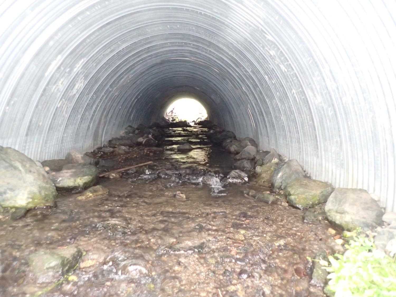
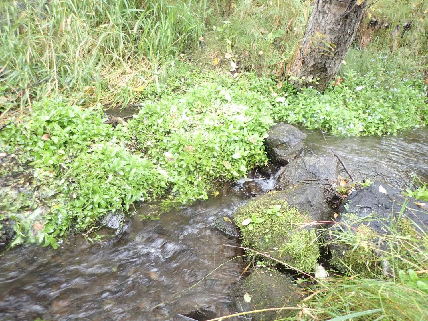
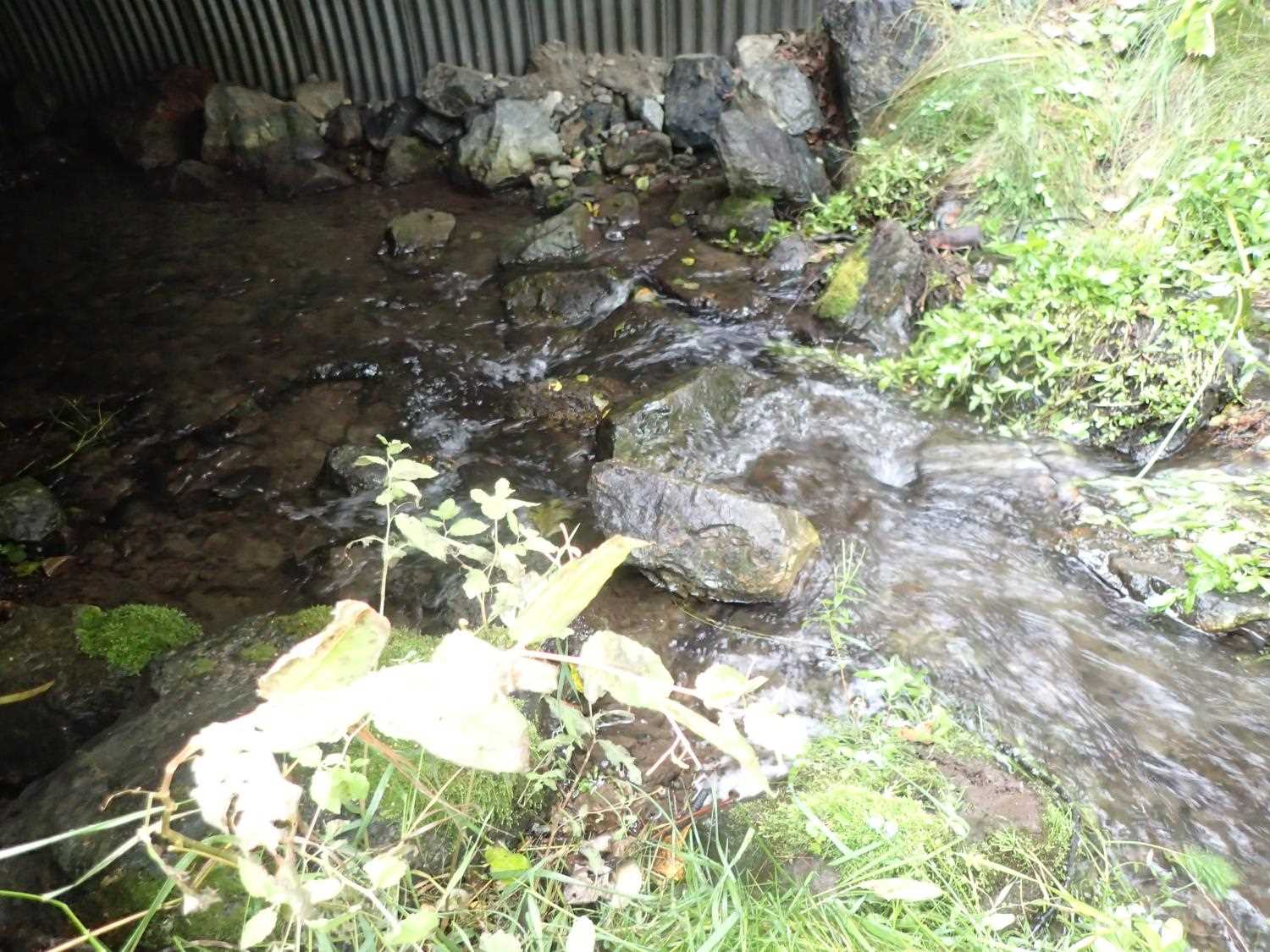
Comments: Diversion upstream to golf course. Landowner mentioned creek runs dry in July for a month and observes dead and stranded fish. Banks in middle of culvert not well defined. One grade control weir at inlet collapsed.
Culvert Measurements
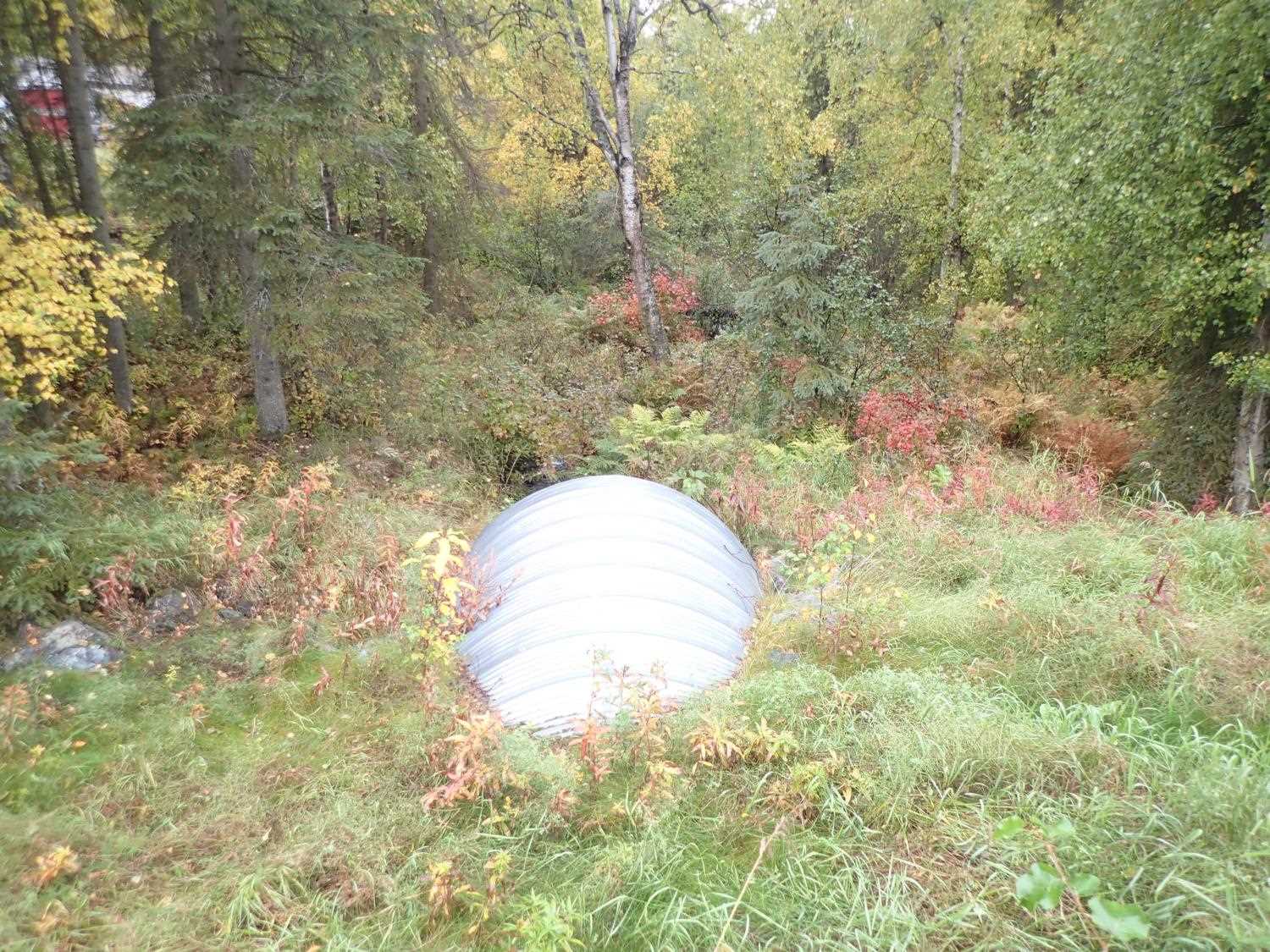
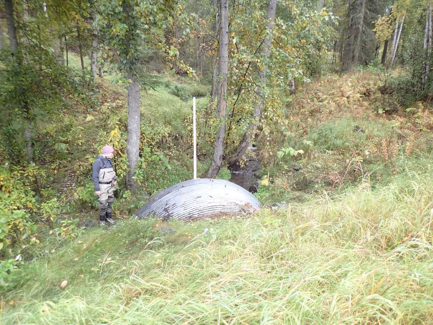
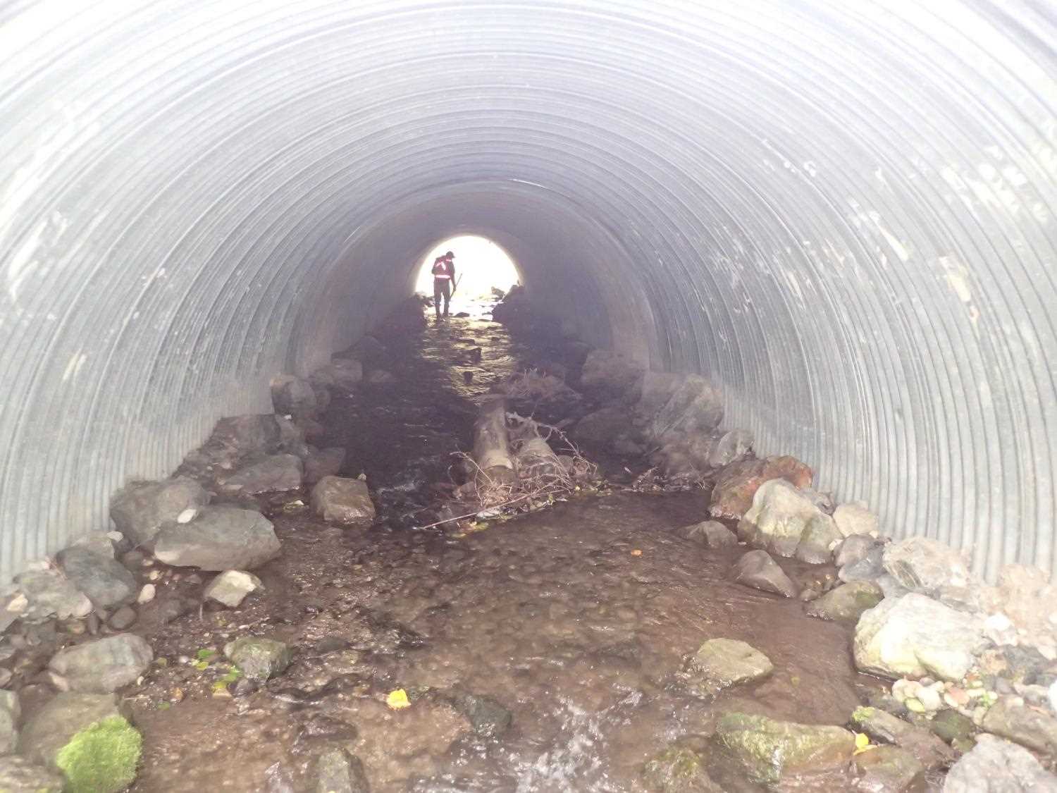
| ID: 1 | Structure Type: Circular pipe (Corrugated steel) | Fish Passage Rating: | ||||||||||||||||||||||||||||||||||||||||||
|
|
|
||||||||||||||||||||||||||||||||||||||||||
Comments: No rust line, pipe in great condition. |
||||||||||||||||||||||||||||||||||||||||||||
Stream Measurements
|
|
No stream width data available.
Elevations
| Locator ID | Culvert Number |
River Distance (ft)1 |
Distance From Crossing (ft)2 |
Relative Elevation (ft) |
|---|---|---|---|---|
| D/S Water Surface Elev | 0.00 | 128.81 | ||
| D/S Thalweg (taken mid riffle downstream, no features) | 0.00 | 129.35 | ||
| Outlet Culvert Top | 23.70 | 10.16 | ||
| D/S Water Surface Elev | 23.70 | 17.29 | ||
| Outlet Invert | 23.70 | 17.49 | ||
| Top of Pipe Inlet | 80.50 | 118.01 | ||
| U/S Water Surface Elev | 80.50 | 124.67 | ||
| Inlet Culvert Invert | 80.50 | 125.02 | ||
| U/S Thalweg (below rock wier) | 81.10 | 124.84 | ||
| U/S Water Surface Elev | 81.10 | 124.28 | ||
| U/S Thalweg (grade control. Top of rock wier/step (artificial)) | 87.50 | 124.18 | ||
| U/S Water Surface Elev | 87.50 | 123.66 | ||
| U/S Thalweg (top of rock step) | 99.50 | 123.95 | ||
| U/S Water Surface Elev | 99.50 | 123.52 |
Notes:
- River distance is measured continuously throughout the survey reach along the thalweg of the stream.
- Measured from each end of the crossing along the thalweg of the stream.
Fish Sampling Efforts
No fish sampling occurred during this survey.
Fish Observations
No fish observations occurred during this survey.
Photos
Questions or comments about this report can be directed to dfg.dsf.webmaster@alaska.gov