Fish Passage Site 20400107
Coordinates (dec. deg.): 61.12818°, -149.79664°
Legal Description: S012N003W15
Region: South Central
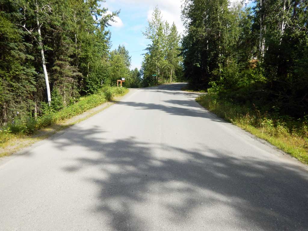
Road Name: Pacer Road
Datum: NAD83
Quad Name / ITM: Anchorage A-8
AWC Stream #: 247-60-10340-2018
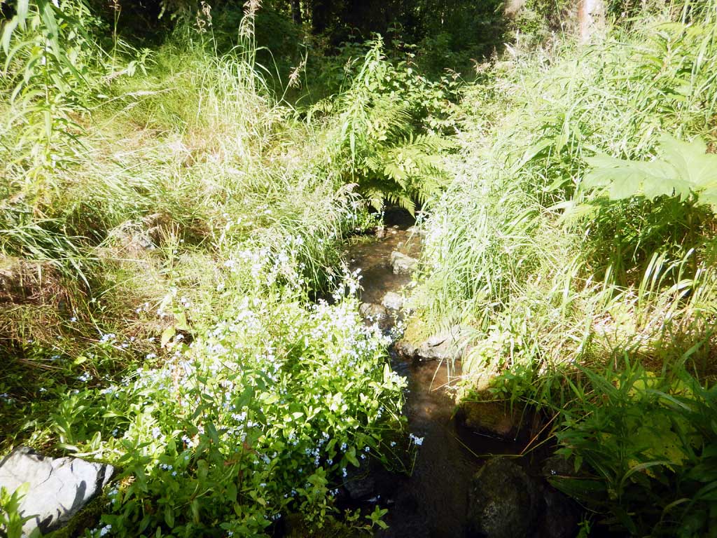
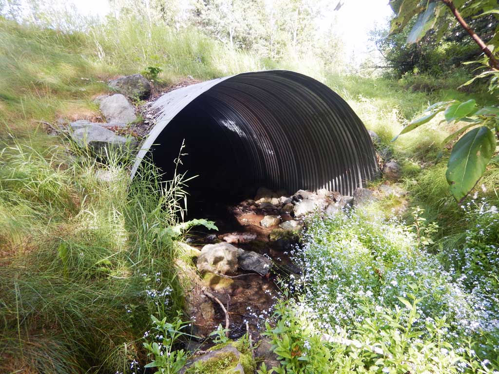
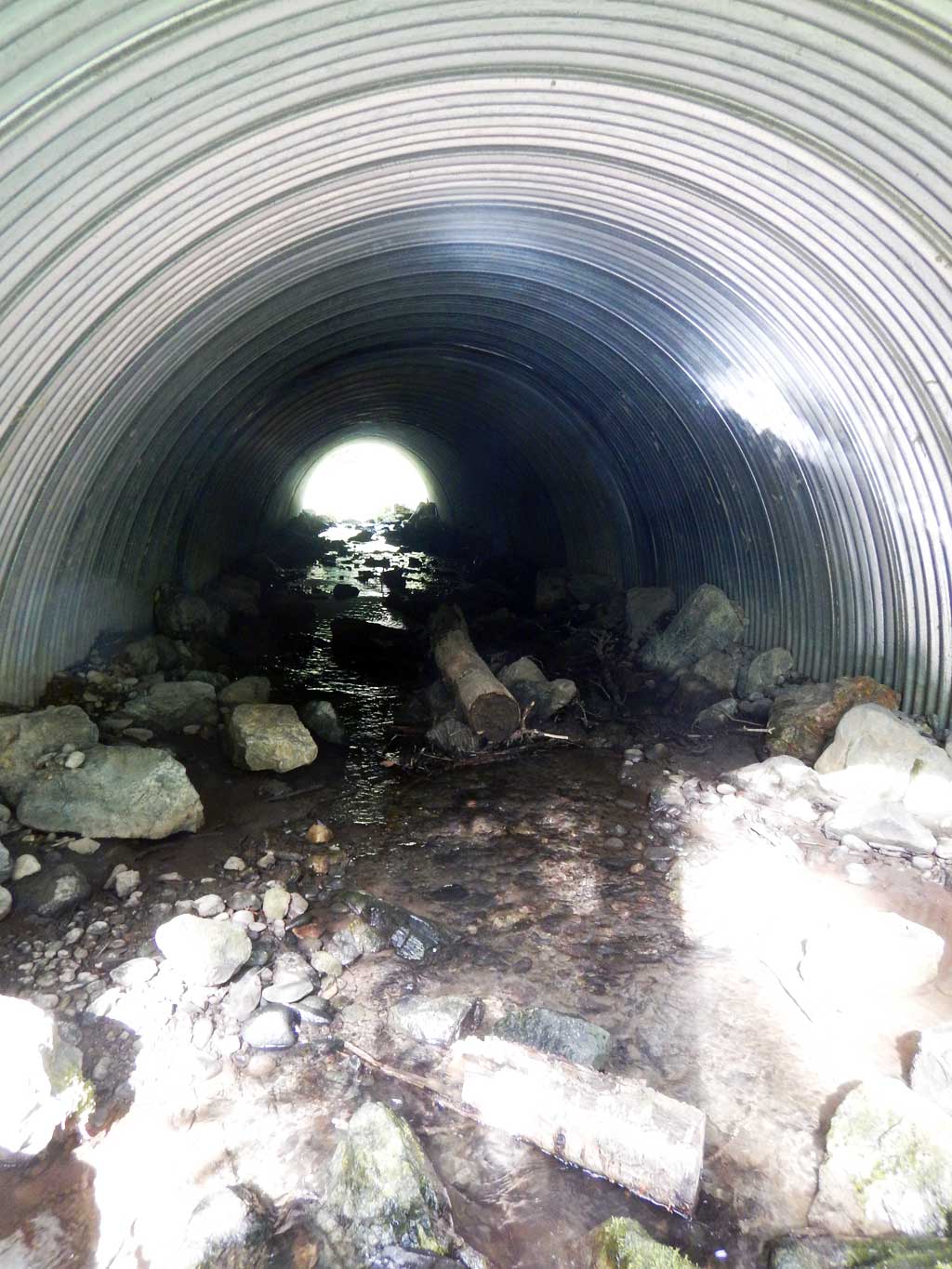
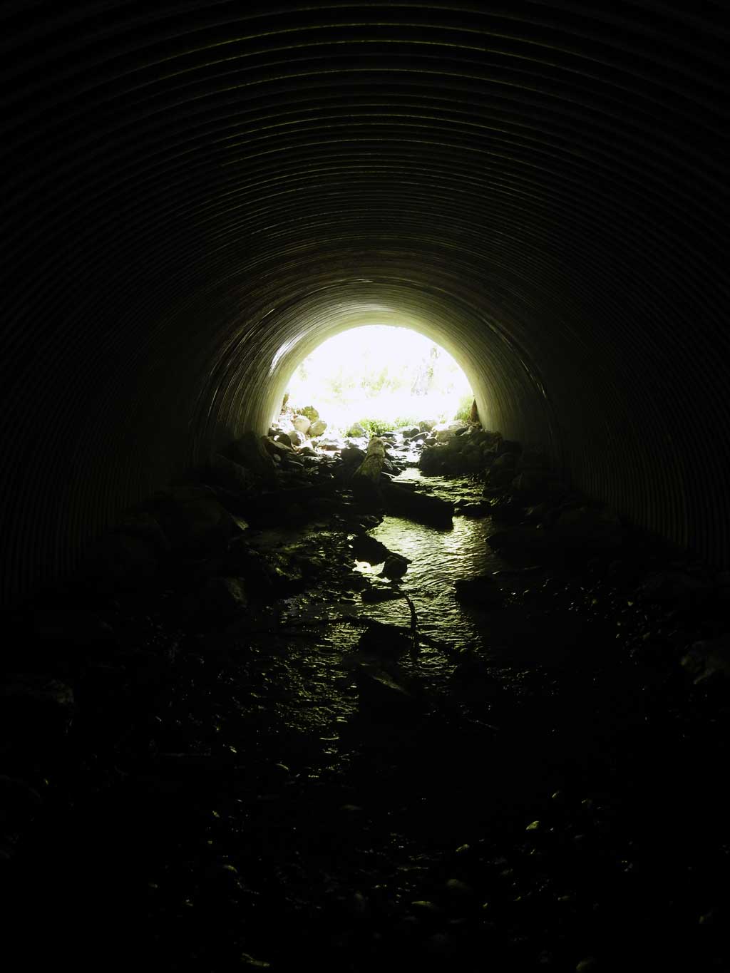
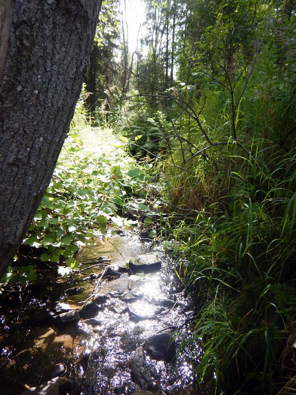
Stream Name: Little Campbell Creek South Fork
Elevation:
Site Comments: CAMBELL CREEK WATERSHED
arrow to the right of the survey date below to choose a different report for this site.
Survey UPDATE-34
Project Supervisor: Gillian O'Doherty, ADFG
Observers: Gillian O'Doherty
Overall Fish Passage Rating:
Tidal:
Backwatered:
Step Pools:
Construction Year: 2011
Comments: **REPLACED** Fish Passage Project. Not yet resurveyed.
Culvert Measurements
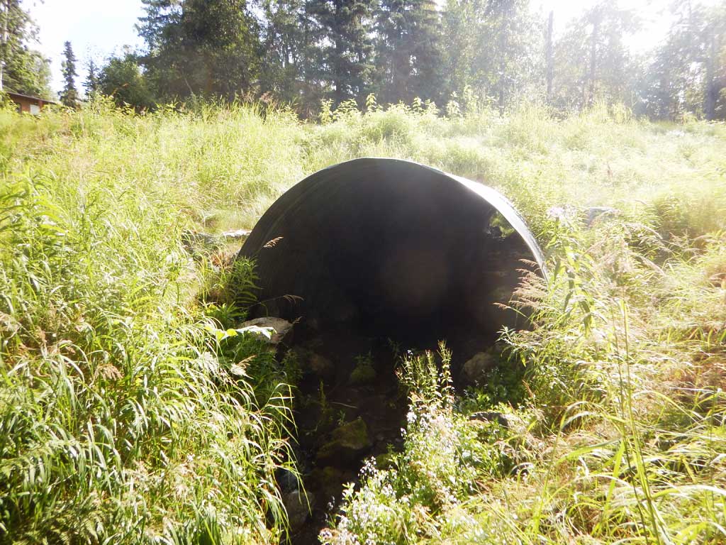
| ID: 1 | Structure Type: Circular pipe (Corrugated steel) | Fish Passage Rating: | |||||||||||||||||||||||||||||||||||||||||
|
|
|
|||||||||||||||||||||||||||||||||||||||||
Comments: All site and culvert measurments taken from site plans and have not been verified. Plans also called for rock wiers inside of culvert. Culvert width 12 ft. Culvert height 8 ft to top of substate. Substrate depth 4 ft. Culvert length 80 ft. Culvert gradient 4%. |
|||||||||||||||||||||||||||||||||||||||||||
Stream Measurements
|
|
No stream width data available.
Elevations
No elevation data available.
Fish Sampling Efforts
No fish sampling occurred during this survey.
Fish Observations
No fish observations occurred during this survey.
Photos
Questions or comments about this report can be directed to dfg.dsf.webmaster@alaska.gov