Fish Passage Site 20400098
Coordinates (dec. deg.): 61.14747°, -149.85269°
Legal Description: S012N003W08
Region: South Central
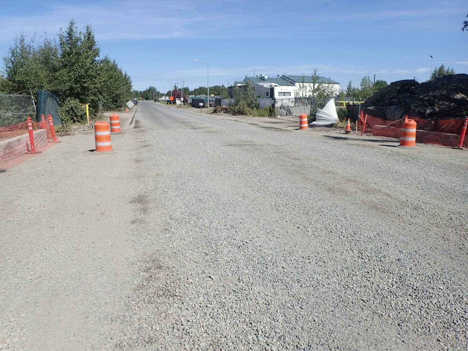
Road Name: Sandlewood Drive
Datum: NAD83
Quad Name / ITM: Anchorage A-8
AWC Stream #: 247-6010340-2018-3006
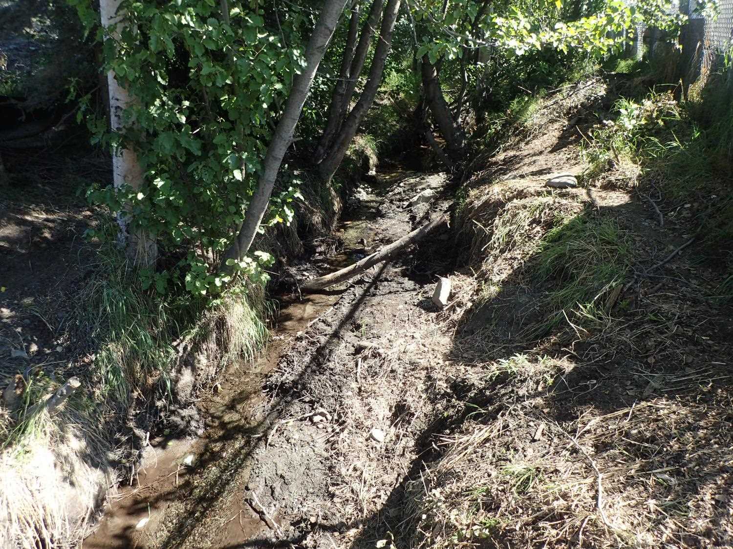
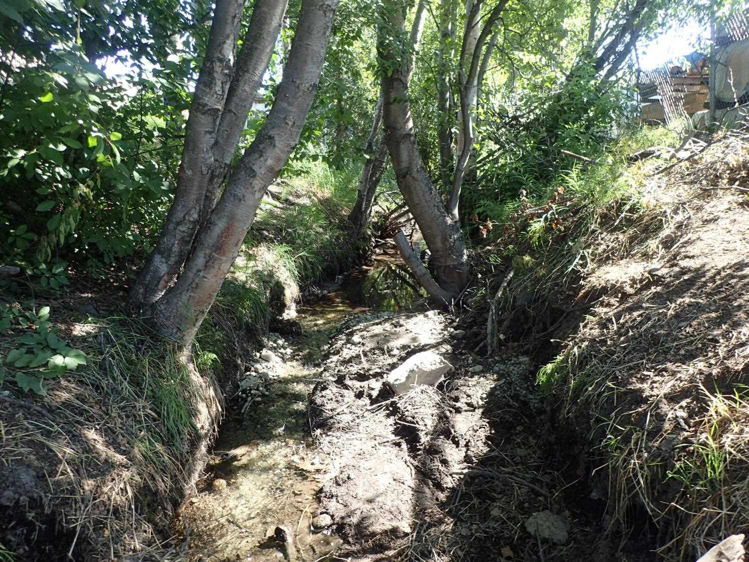
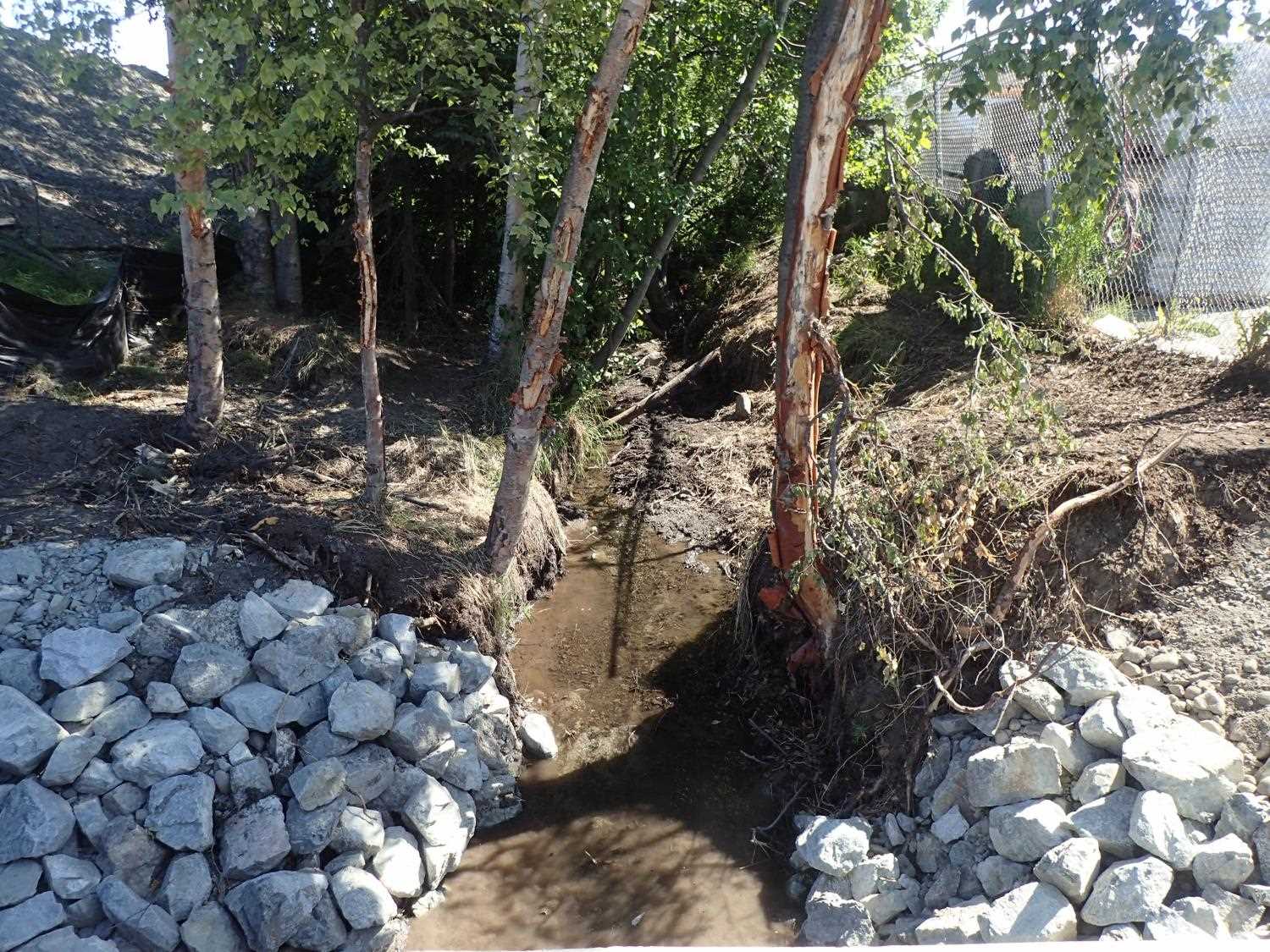
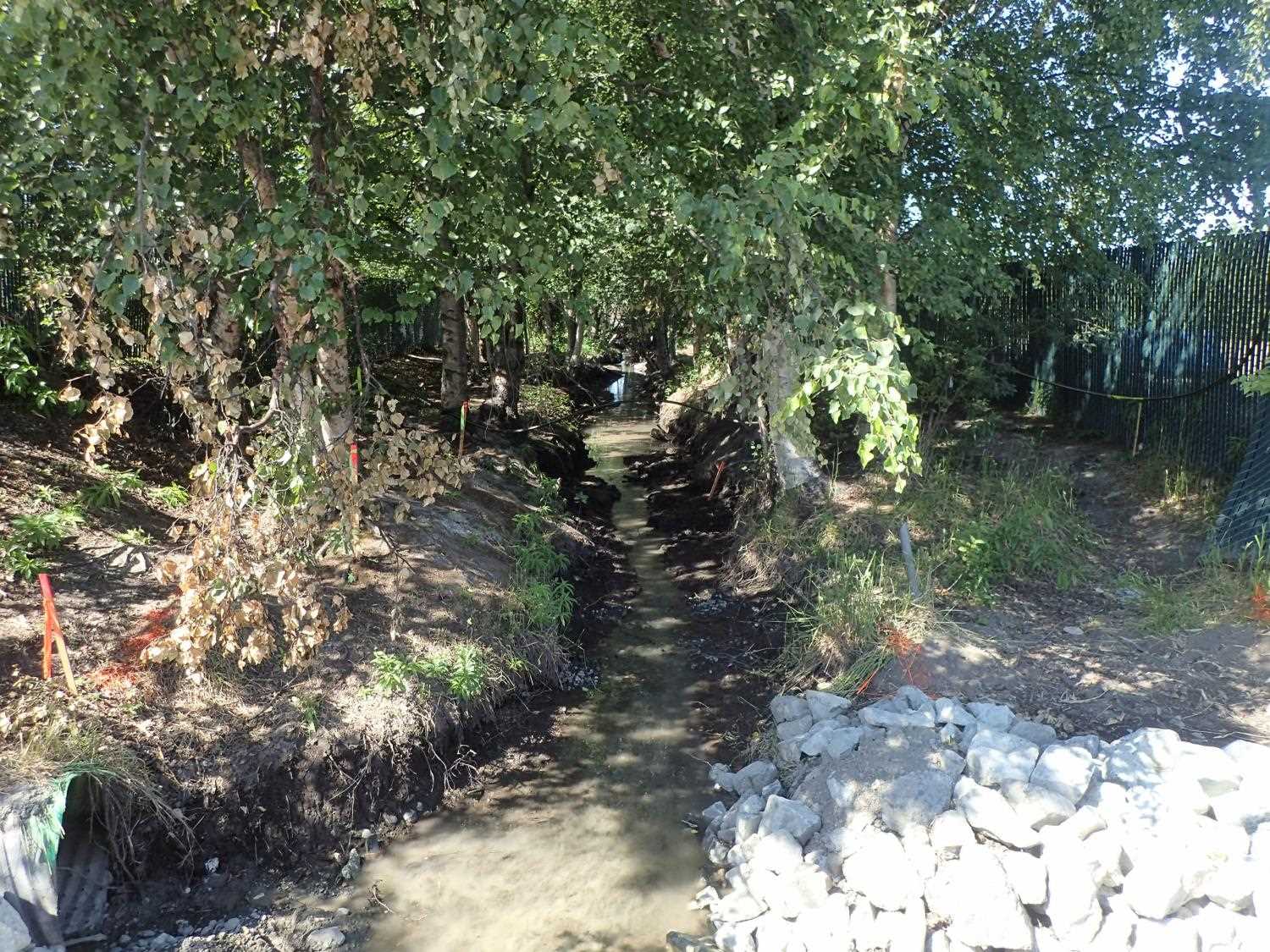
Stream Name: Little Campbell Creek South Fork
Elevation:
Site Comments: CAMPBELL CREEK WATERSHED
arrow to the right of the survey date below to choose a different report for this site.
Survey UPDATE-0098
Project Supervisor: Gillian O'Doherty, ADFG
Observers: Mark Eisenman
Overall Fish Passage Rating:
Tidal: No
Backwatered: Maybe
Step Pools: No
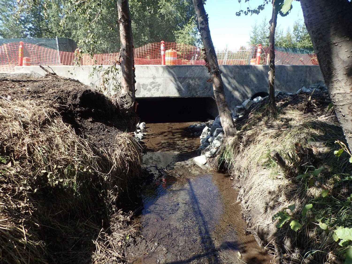
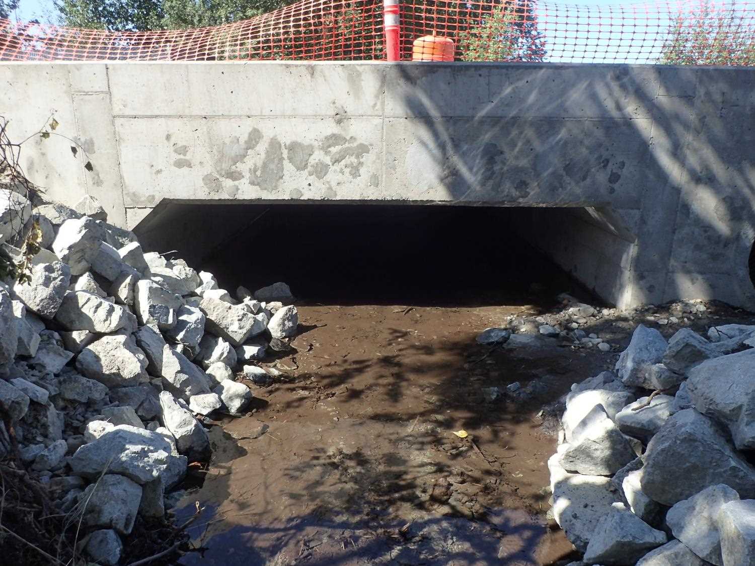
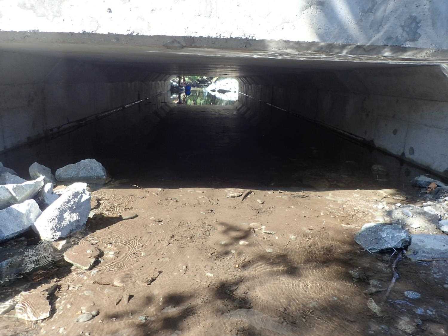
Construction Year: 2018
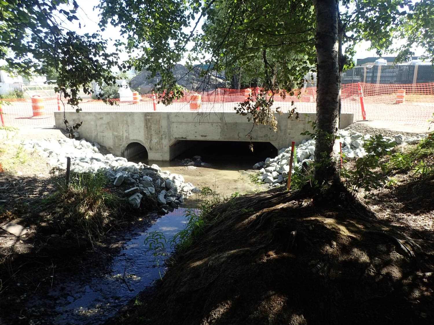
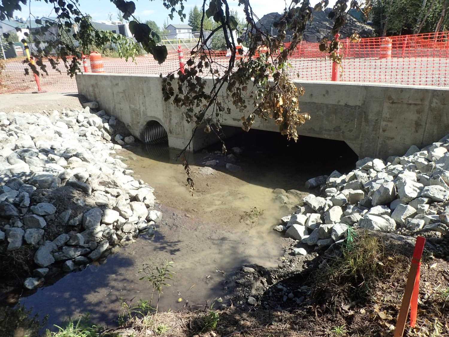
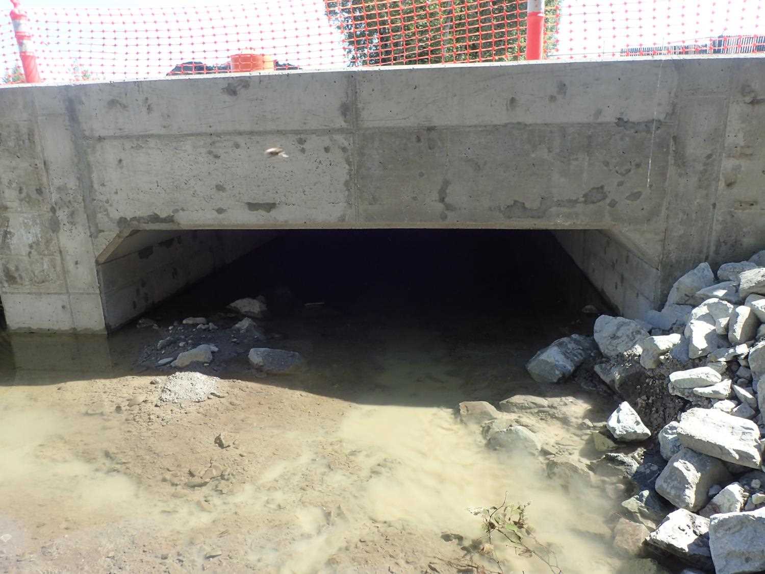
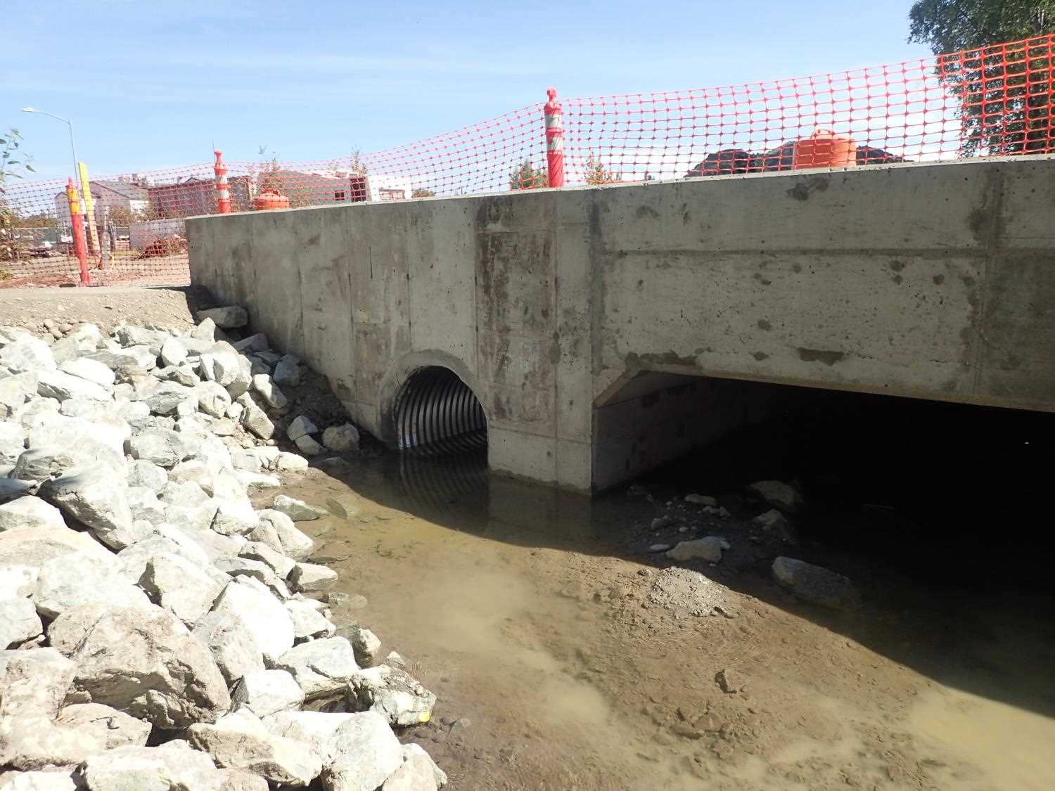
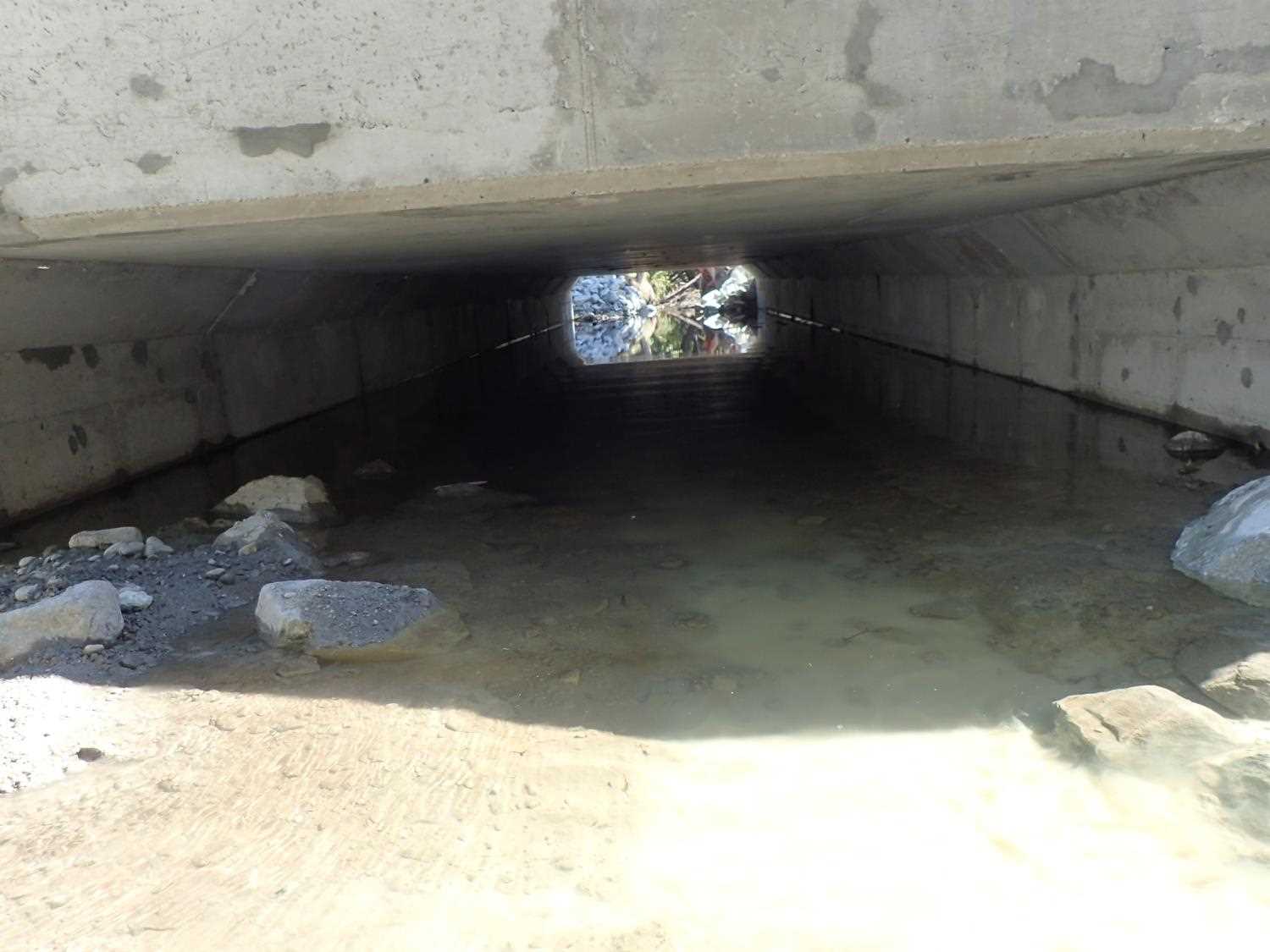
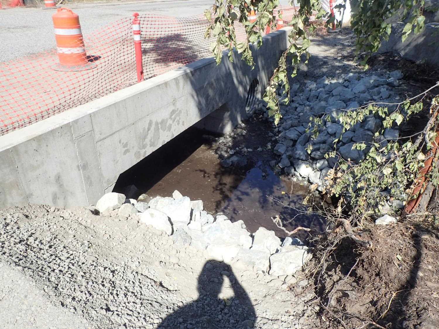
Comments: Culvert replaced 2018 in conjunction with Seward Highway upgrade project. During 2018 site visit crossing appeared to be backwatered. Same during 2021 site visit and cause identified as beaver dam in downstream reach. Culvert replaced under Fish Habitat Permit FH-II-0006.
Culvert Measurements
| ID: 1 | Structure Type: Box culvert (Reinforced concrete) | Fish Passage Rating: | |||||||||||||||||||||||||||||||||||||||||
|
|
|
|||||||||||||||||||||||||||||||||||||||||
Comments: Cuvlert dimensions, substrate depth, and slope taken from site plans and have not been verified. Cuvlert width 12 ft. Culvert hieght 3.5 ft to top of substrate, substrate depth 2 ft. Culvert length 58 ft. |
|||||||||||||||||||||||||||||||||||||||||||
Stream Measurements
|
|
No stream width data available.
Elevations
No elevation data available.
Fish Sampling Efforts
No fish sampling occurred during this survey.
Fish Observations
No fish observations occurred during this survey.
Photos

Questions or comments about this report can be directed to dfg.dsf.webmaster@alaska.gov