Fish Passage Site 20400049
Coordinates (dec. deg.): 61.22357°, -149.89320°
Legal Description: S013N003W18
Region: South Central
Road Name: Ship Creek Boat Launch
Datum: NAD83
Quad Name / ITM: Anchorage A-8
AWC Stream #: 247-50-10060
Stream Name: Ship Creek
Elevation:
Site Comments: SHIP CREEK WATERSHED
arrow to the right of the survey date below to choose a different report for this site.
Survey UPDATE-35
Project Supervisor: Gillian O'Doherty, ADFG
Observers: Gillian O'Doherty
Overall Fish Passage Rating:
Tidal:
Backwatered:
Step Pools:
Construction Year:
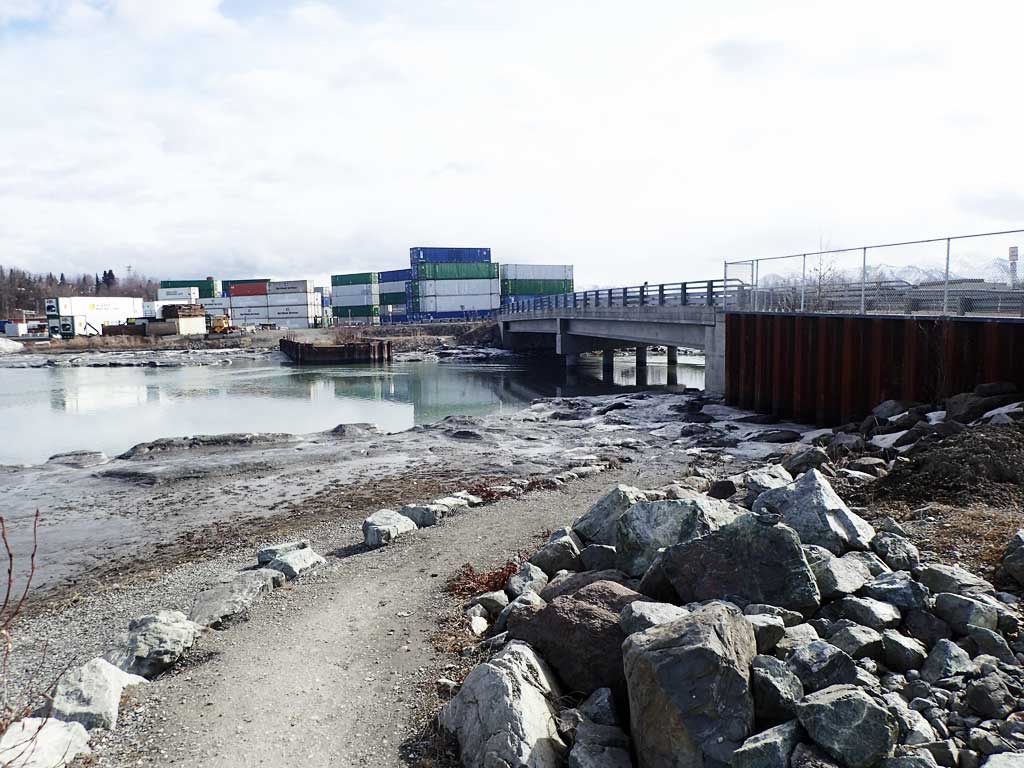
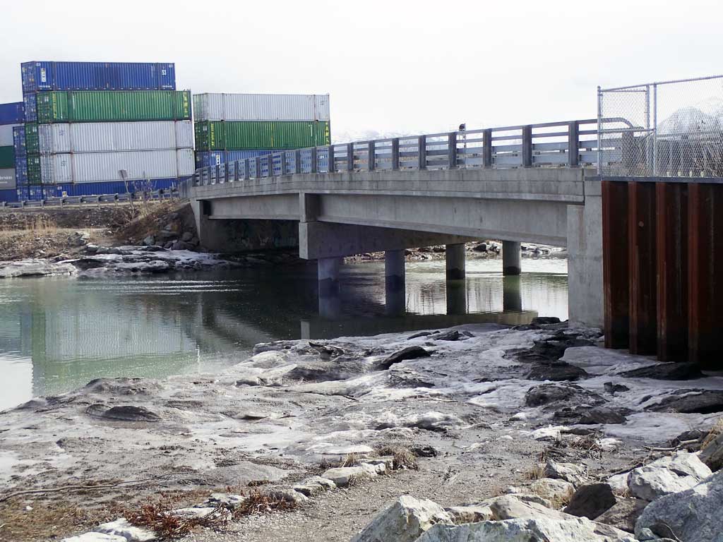
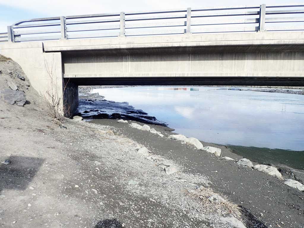
Comments: REPLACED with a bridge.
Culvert Measurements
No measurement data available.
Stream Measurements
|
|
No stream width data available.
Elevations
No elevation data available.
Fish Sampling Efforts
No fish sampling occurred during this survey.
Fish Observations
No fish observations occurred during this survey.
Photos

Questions or comments about this report can be directed to dfg.dsf.webmaster@alaska.gov