Fish Passage Site 20400025
Coordinates (dec. deg.): 61.31548°, -149.56738°
Legal Description: S014N002W12
Region: South Central
Road Name: Old Eagle River Road
Datum: NAD83
Quad Name / ITM: Anchorage B-7
AWC Stream #:
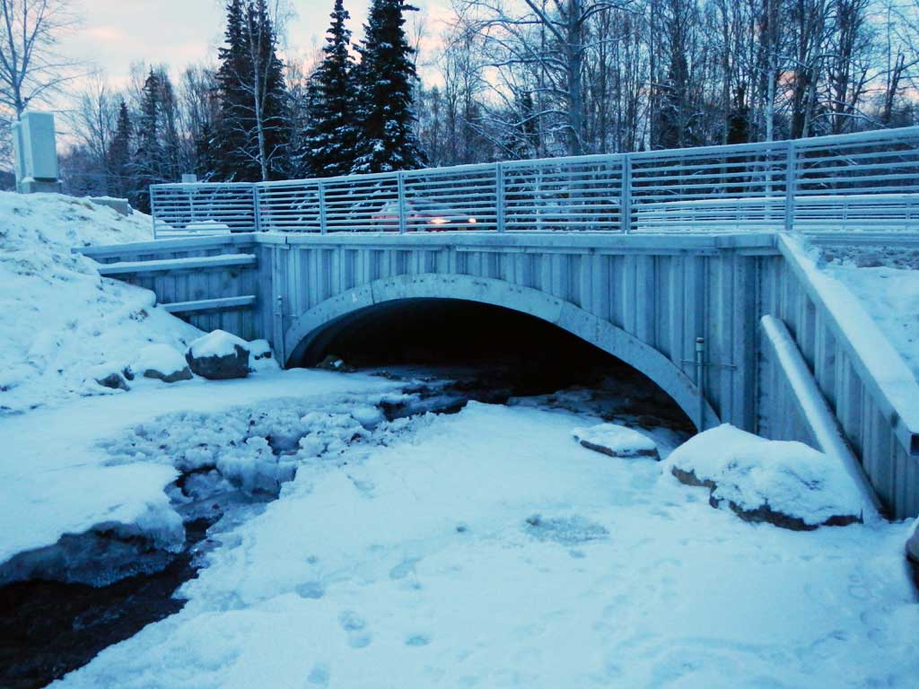
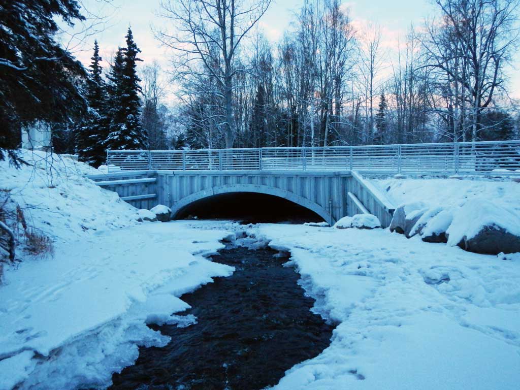
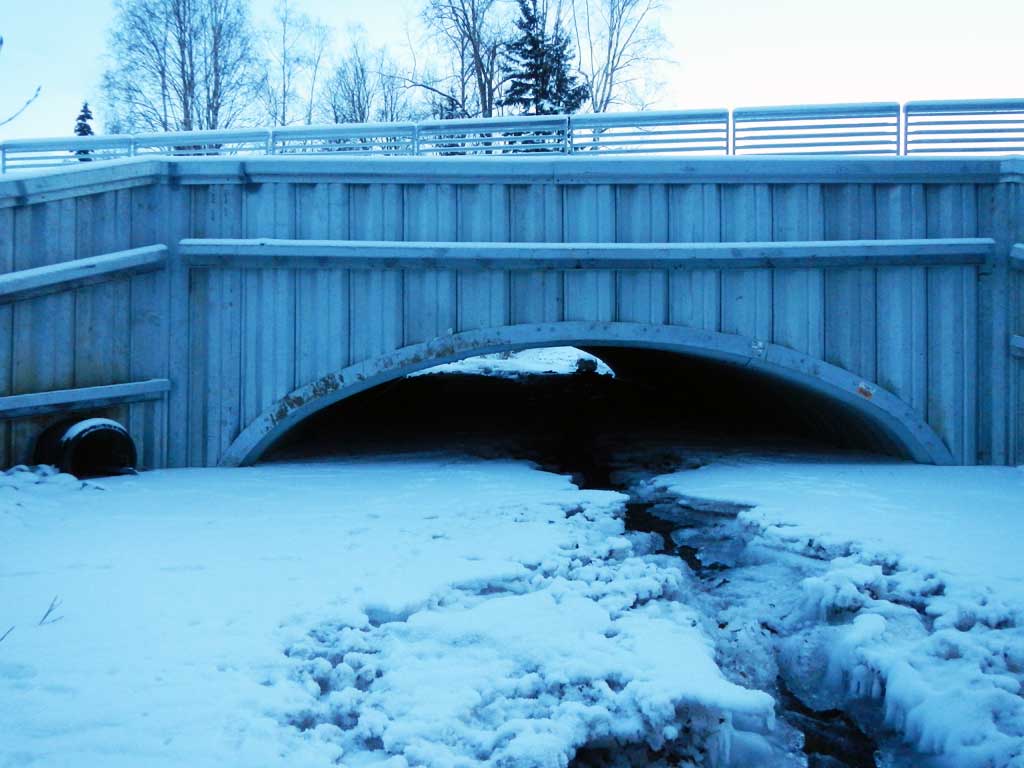
Stream Name: Meadow Creek
Elevation:
Site Comments: None
arrow to the right of the survey date below to choose a different report for this site.
Survey UPDATE-00025
Project Supervisor: Gillian O'Doherty, ADFG
Observers:
Overall Fish Passage Rating:
Tidal:
Backwatered:
Step Pools:
Construction Year: 2014
Comments: This culvert was replaced in Fall of 2014 and requires resurvey.
Culvert Measurements
| ID: 1 | Structure Type: Circular pipe (Corrugated steel) | Fish Passage Rating: | |||||||||||||||||||||||||||||||||||||||||
|
|
|
|||||||||||||||||||||||||||||||||||||||||
Stream Measurements
|
|
No stream width data available.
Elevations
No elevation data available.
Fish Sampling Efforts
No fish sampling occurred during this survey.
Fish Observations
No fish observations occurred during this survey.
Photos
Questions or comments about this report can be directed to dfg.dsf.webmaster@alaska.gov