Fish Passage Site 20303942
Coordinates (dec. deg.): 60.30235°, -149.35635°
Legal Description: S003N001E31
Region: South Central
Road Name: Seward Highway
Datum: WGS84
Quad Name / ITM: Seward B-7
AWC Stream #:
Stream Name: Trib to Snow River
Elevation:
Site Comments: Trib # 5 to Snow River
Survey UPD20-SRD20A
Project Supervisor: Gillian O'Doherty, Alaska Department of Fish and Game
— Anchorage, AK
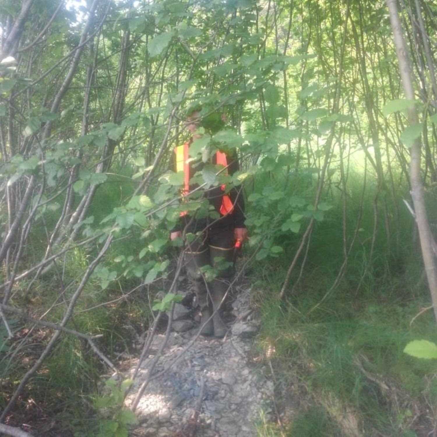
Observers: Kim Clark, Lucas Byker
Overall Fish Passage Rating:
Tidal:
Backwatered:
Step Pools:
Construction Year:
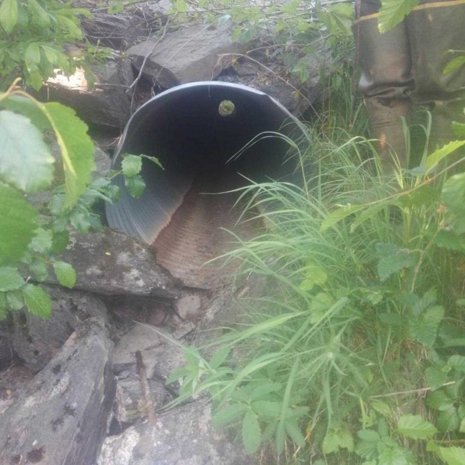
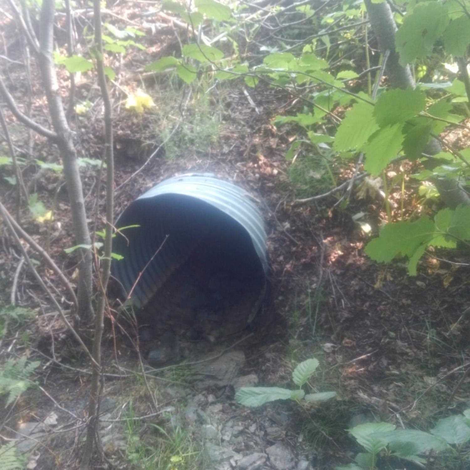
Comments: Information provided by Lucas Byker (ADFG). Upstream flow obstructed by a beaver dam. Dead salmon observed in dry channel upstream of the culvert.
Culvert Measurements
| ID: 1 | Structure Type: Circular pipe (Corrugated aluminum) | Fish Passage Rating: | |||||||||||||||||||||||||||||||||||||||||
|
|
|
|||||||||||||||||||||||||||||||||||||||||
Comments: Outlet perched 4' above Snow River; likely submerged during high water events. |
|||||||||||||||||||||||||||||||||||||||||||
Stream Measurements
|
|
No stream width data available.
Elevations
No elevation data available.
Fish Sampling Efforts
No fish sampling occurred during this survey.
Fish Observations
No fish observations occurred during this survey.
Photos

Questions or comments about this report can be directed to dfg.dsf.webmaster@alaska.gov