Fish Passage Site 20303941
Coordinates (dec. deg.): 60.29476°, -149.35162°
Legal Description: S002N001E06
Region: South Central
Road Name: Seward Highway
Datum: WGS84
Quad Name / ITM: Seward B-7
AWC Stream #:
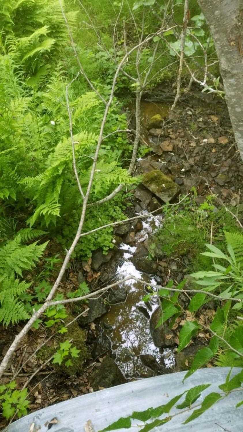
Stream Name: Tributary to Snow River
Elevation:
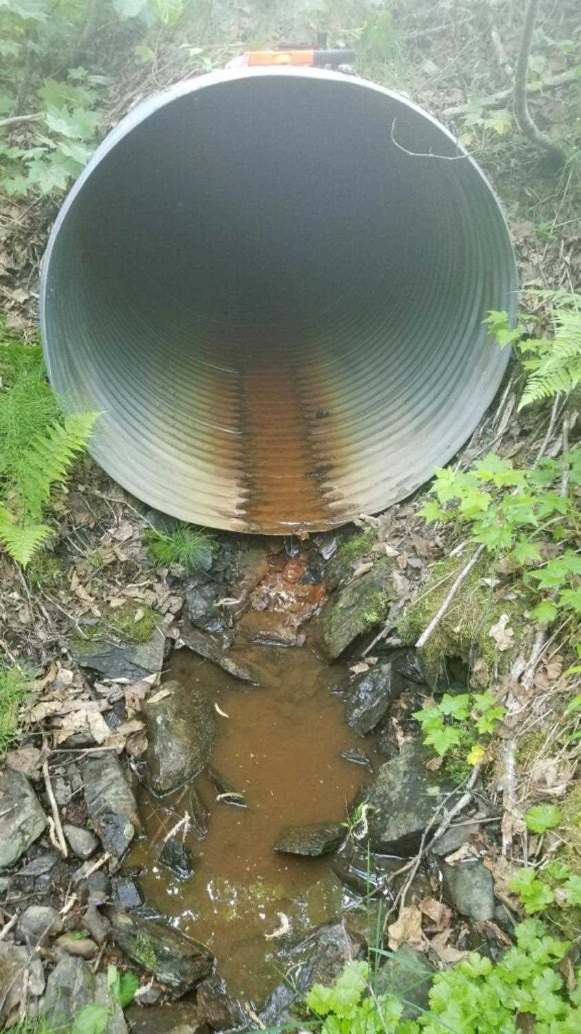
Site Comments: Upstream channel bisected by utility access road.
arrow to the right of the survey date below to choose a different report for this site.
Survey UPD20-SRD20
Project Supervisor: Gillian O'Doherty, Alaska Department of Fish and Game
— Anchorage, AK
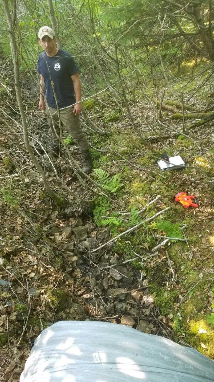
Observers: Kim Clark, Lucas Byker
Overall Fish Passage Rating:
Tidal:
Backwatered:
Step Pools:
Construction Year:
Comments: Submitted by Lucas Byker ADFG.
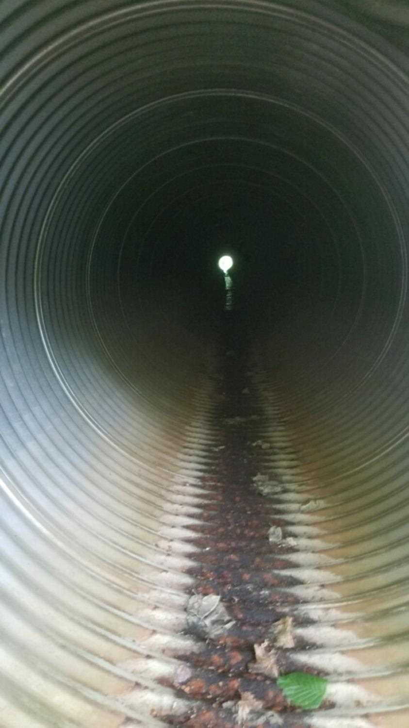
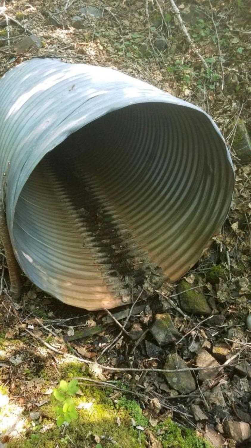
Culvert Measurements
| ID: 1 | Structure Type: Circular pipe (Corrugated steel) | Fish Passage Rating: | ||||||||||||||||||||||||||||||||||||||||||
|
|
|
||||||||||||||||||||||||||||||||||||||||||
Stream Measurements
|
|
No stream width data available.
Elevations
No elevation data available.
Fish Sampling Efforts
No fish sampling occurred during this survey.
Fish Observations
No fish observations occurred during this survey.
Photos
Questions or comments about this report can be directed to dfg.dsf.webmaster@alaska.gov