Fish Passage Site 20303940
Coordinates (dec. deg.): 60.98104°, -149.08836°
Legal Description: S010N002E03
Region: South Central
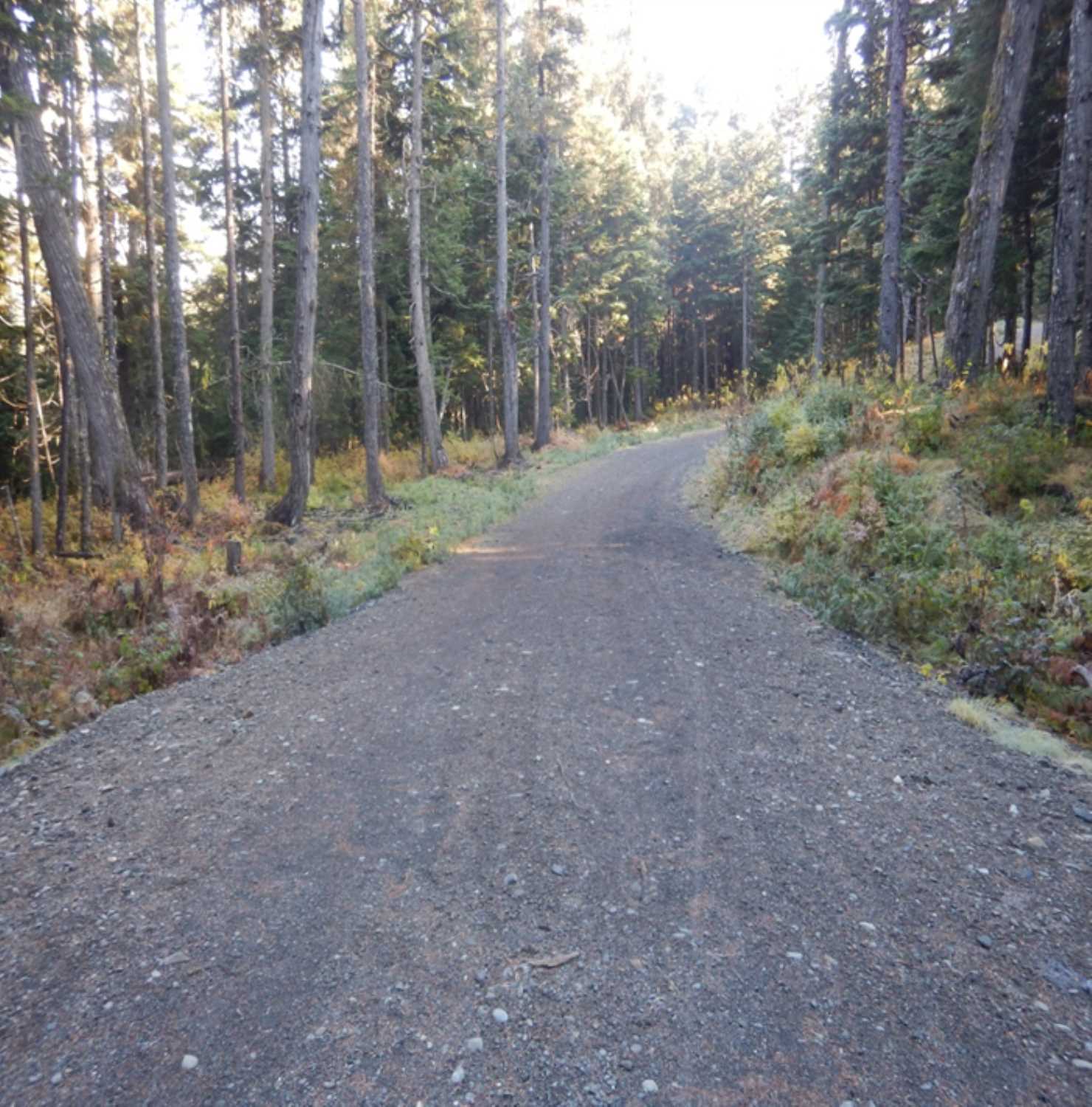
Road Name: Ski Trail
Datum: WGS84
Quad Name / ITM: Seward D-6
AWC Stream #:
Stream Name:
Elevation:
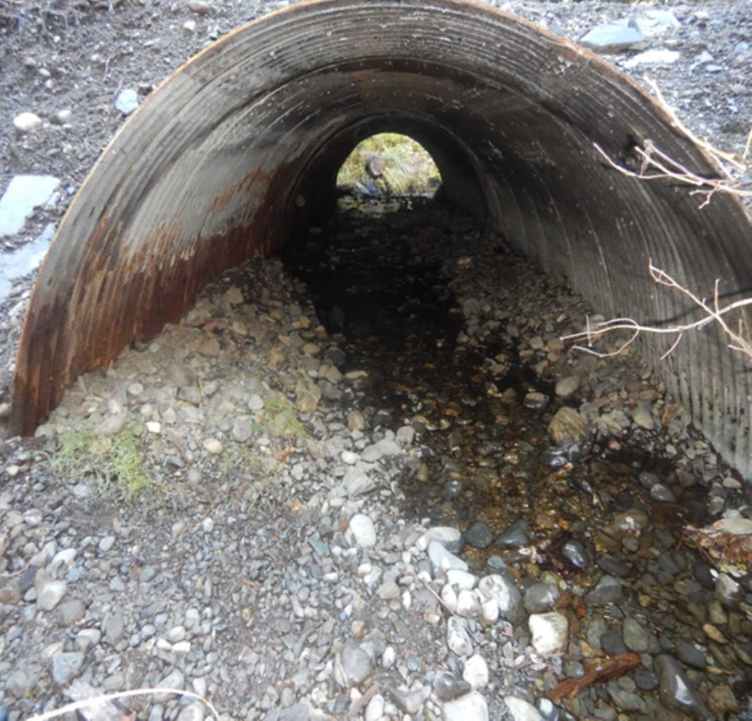
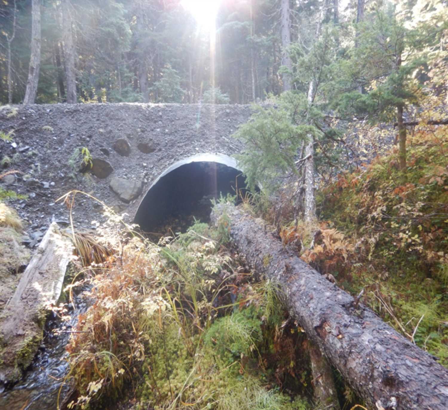
Site Comments: Culvert is about 1,000ft upstream of the specified reach of Water Body No. 247-60-10250-2018. This culvert is located on a cross country ski trail.
Survey UPD20-SKI01
Project Supervisor: Gillian O'Doherty, Alaska Department of Fish and Game
— Anchorage, AK
Observers: Kim Clark, William Frost
Overall Fish Passage Rating:
Tidal:
Backwatered:
Step Pools:
Construction Year:
Comments: Information submitted by Will Frost (ADFG). Culvert is embedded and substrate was placed inside the culvert.
Culvert Measurements
| ID: 1 | Structure Type: Circular pipe (Corrugated aluminum) | Fish Passage Rating: | |||||||||||||||||||||||||||||||||||||||||
|
|
|
|||||||||||||||||||||||||||||||||||||||||
Comments: Dimensions are estimated to be H 6' x W 6' |
|||||||||||||||||||||||||||||||||||||||||||
Stream Measurements
|
|
No stream width data available.
Elevations
No elevation data available.
Fish Sampling Efforts
No fish sampling occurred during this survey.
Fish Observations
No fish observations occurred during this survey.
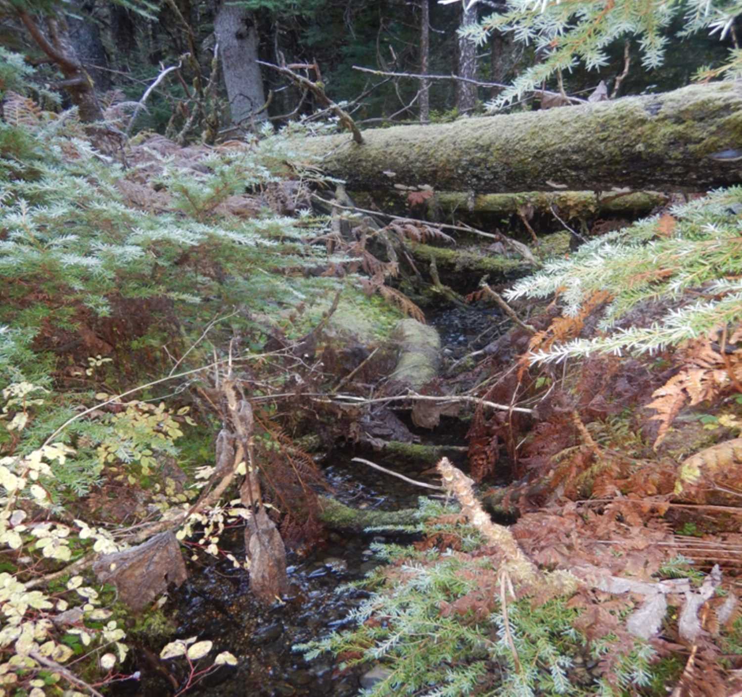
Photos


Questions or comments about this report can be directed to dfg.dsf.webmaster@alaska.gov