Fish Passage Site 20303939
Coordinates (dec. deg.): 60.52491°, -149.61662°
Legal Description: S005N002W15
Region: South Central
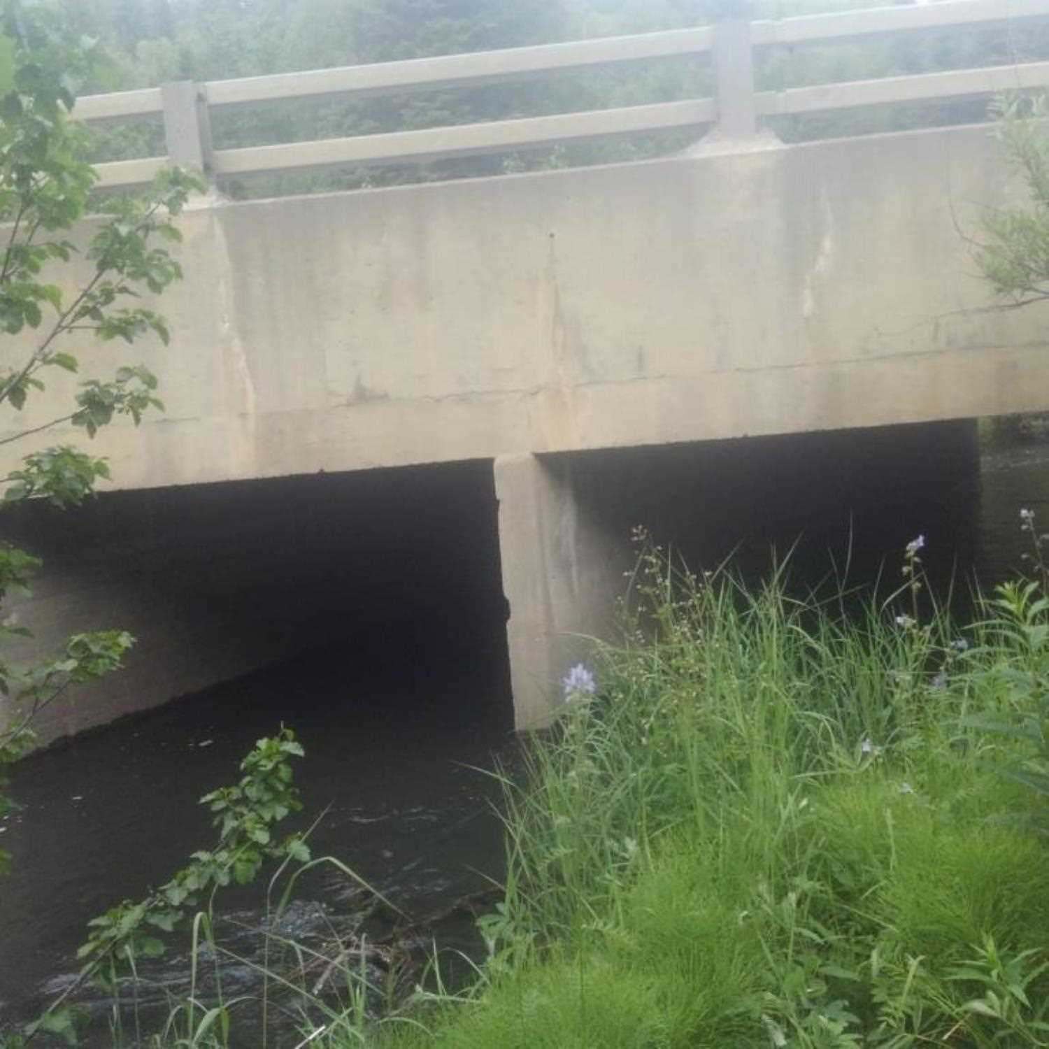
Road Name: Sterling Highway
Datum: WGS84
Quad Name / ITM: Seward C-7
AWC Stream #: 244-30-10010-2177-3020
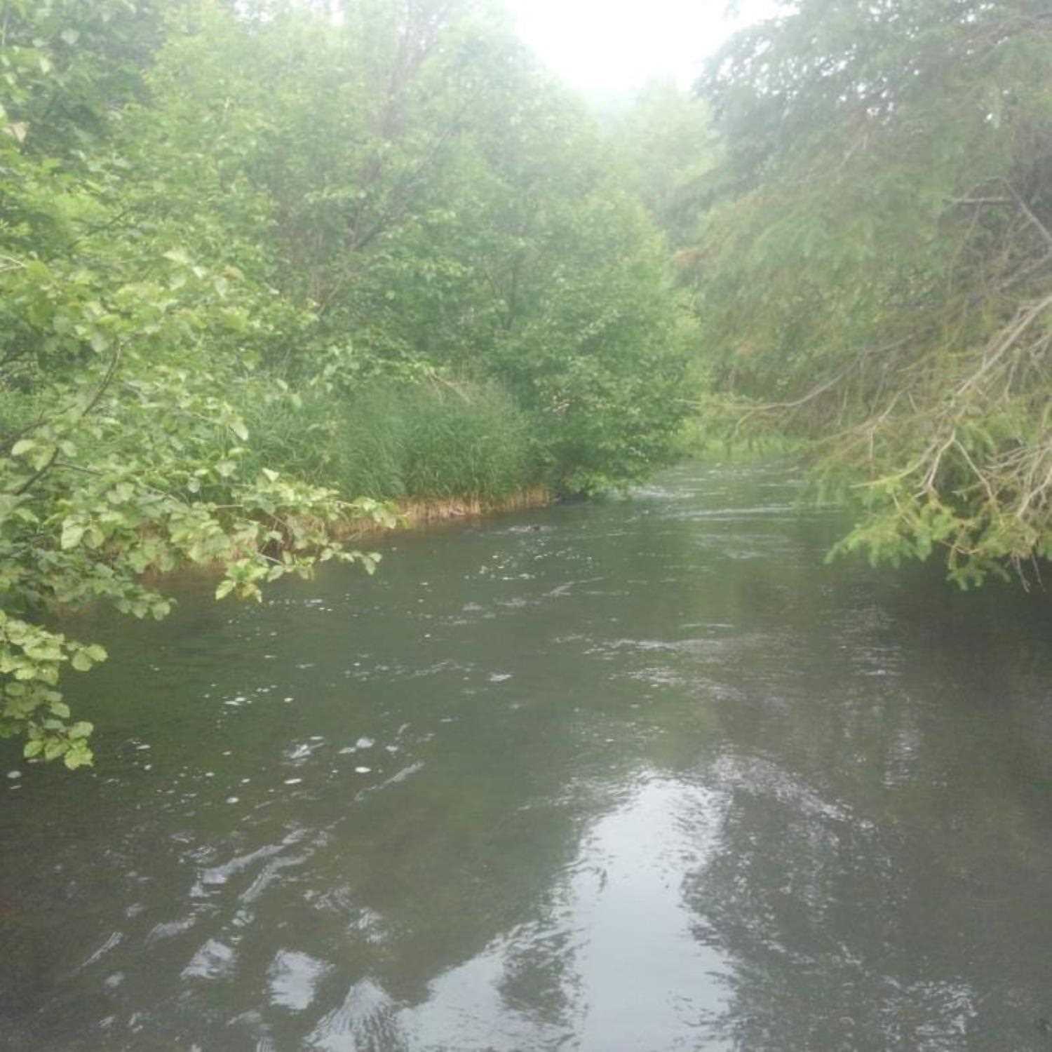
Stream Name: Daves Creek Mainstem
Elevation:
Site Comments: None
Survey UPD20-SHW20
Project Supervisor: Gillian O'Doherty, Alaska Department of Fish and Game
— Anchorage, AK
Observers: Kim Clark, Lucas Byker
Overall Fish Passage Rating:
Tidal:
Backwatered:
Step Pools:
Construction Year:
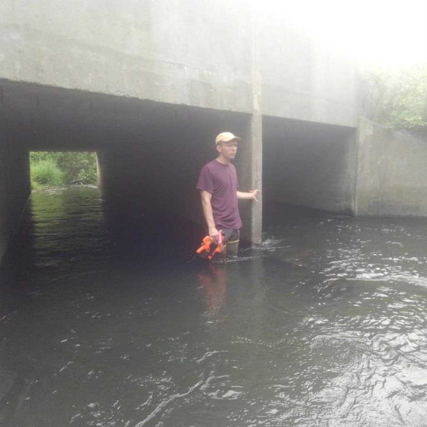
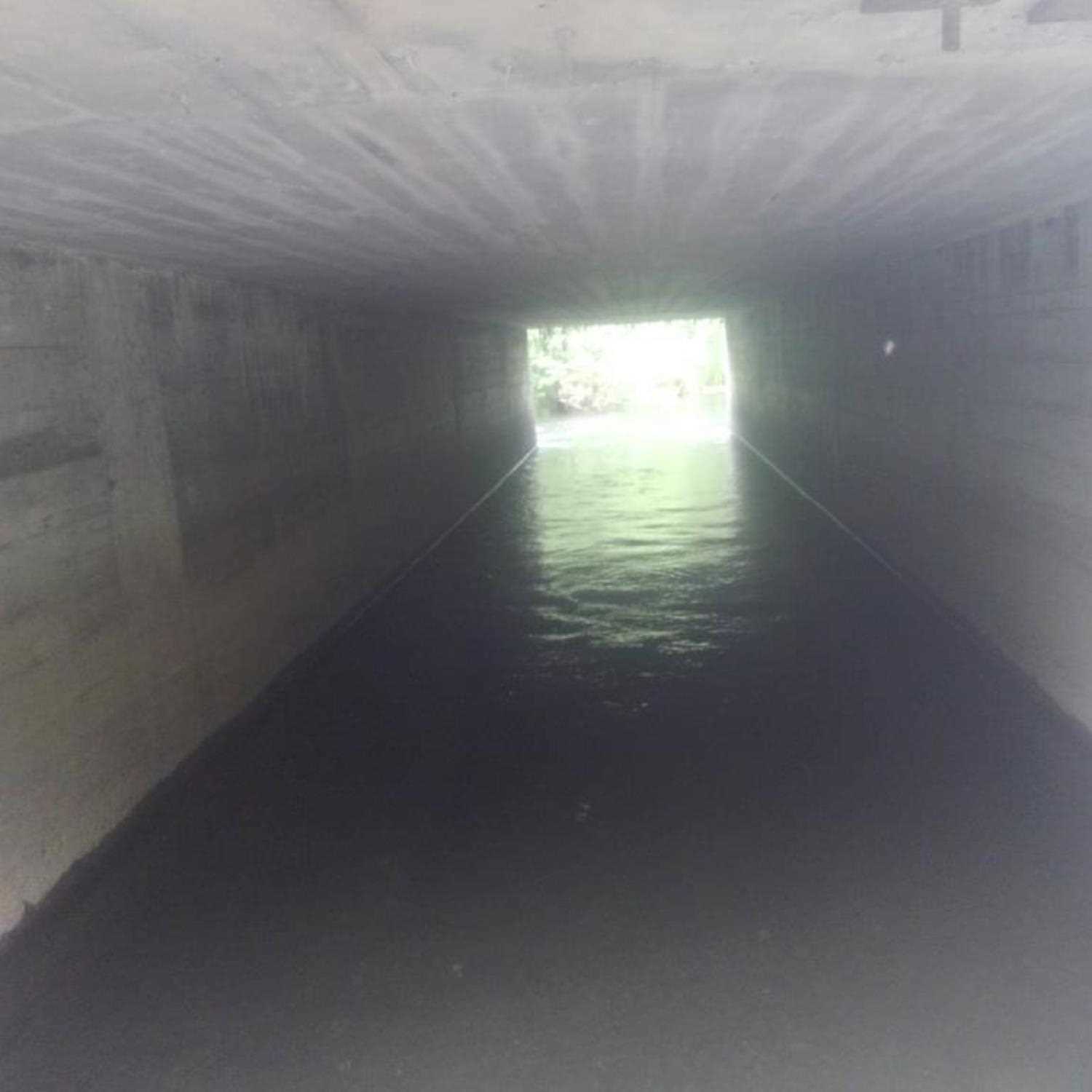
Comments: Information submitted by Lucas Byker (ADFG). Only a single height measured (inlet and outlet). These numbers were applied to both sides of box.
Culvert Measurements
| ID: 1 | Structure Type: Box culvert (Reinforced concrete) | Fish Passage Rating: | |||||||||||||||||||||||||||||||||||||||||
|
|
|
|||||||||||||||||||||||||||||||||||||||||
| ID: 2 | Structure Type: Box culvert (Reinforced concrete) | Fish Passage Rating: | |||||||||||||||||||||||||||||||||||||||||
|
|
|
|||||||||||||||||||||||||||||||||||||||||
Stream Measurements
|
|
No stream width data available.
Elevations
No elevation data available.
Fish Sampling Efforts
No fish sampling occurred during this survey.
Fish Observations
No fish observations occurred during this survey.
Photos
Questions or comments about this report can be directed to dfg.dsf.webmaster@alaska.gov