Fish Passage Site 20303937
Coordinates (dec. deg.): 60.53439°, -149.54626°
Legal Description: S005N002W12
Region: South Central
Road Name: Sterling Highway
Datum: WGS84
Quad Name / ITM: Seward C-7
AWC Stream #: 244-30-10010-2177-3020-0090
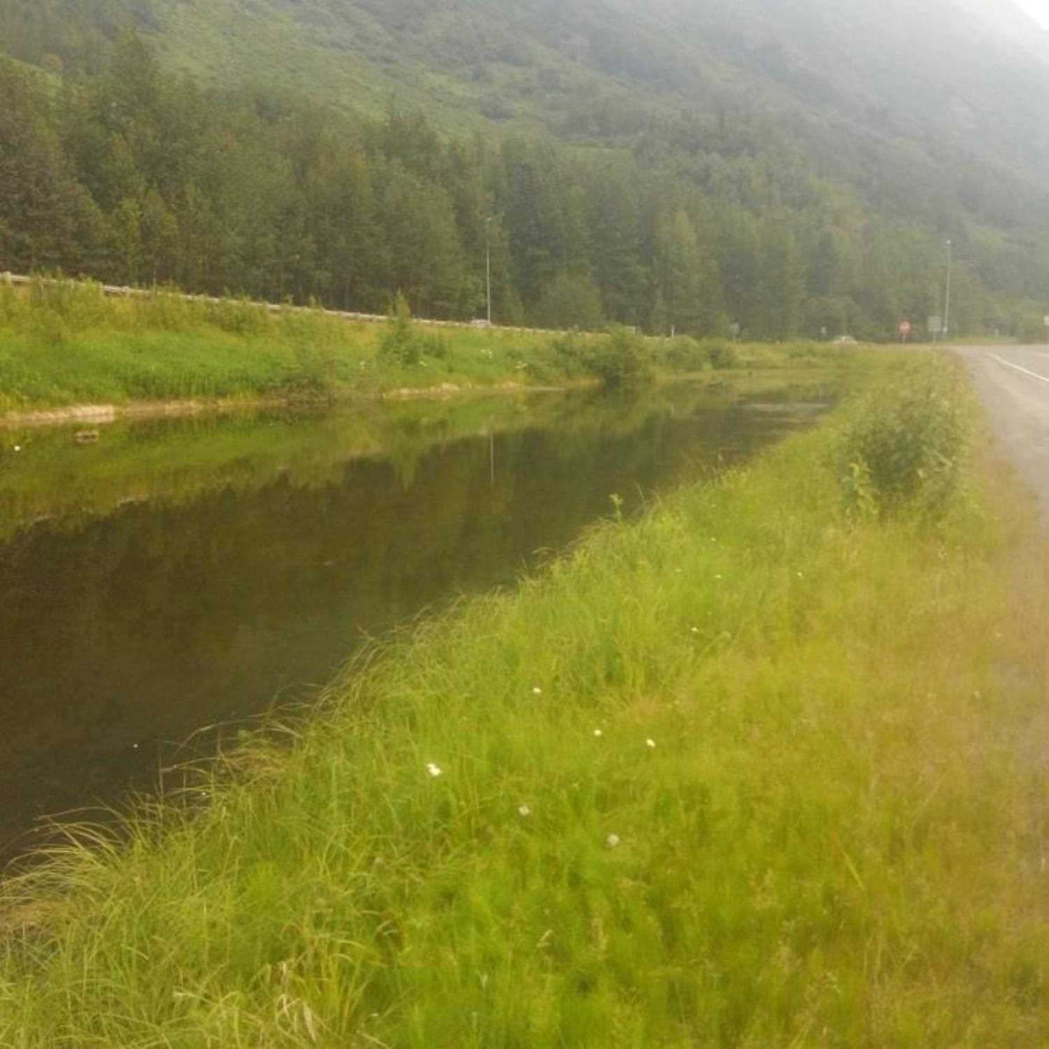
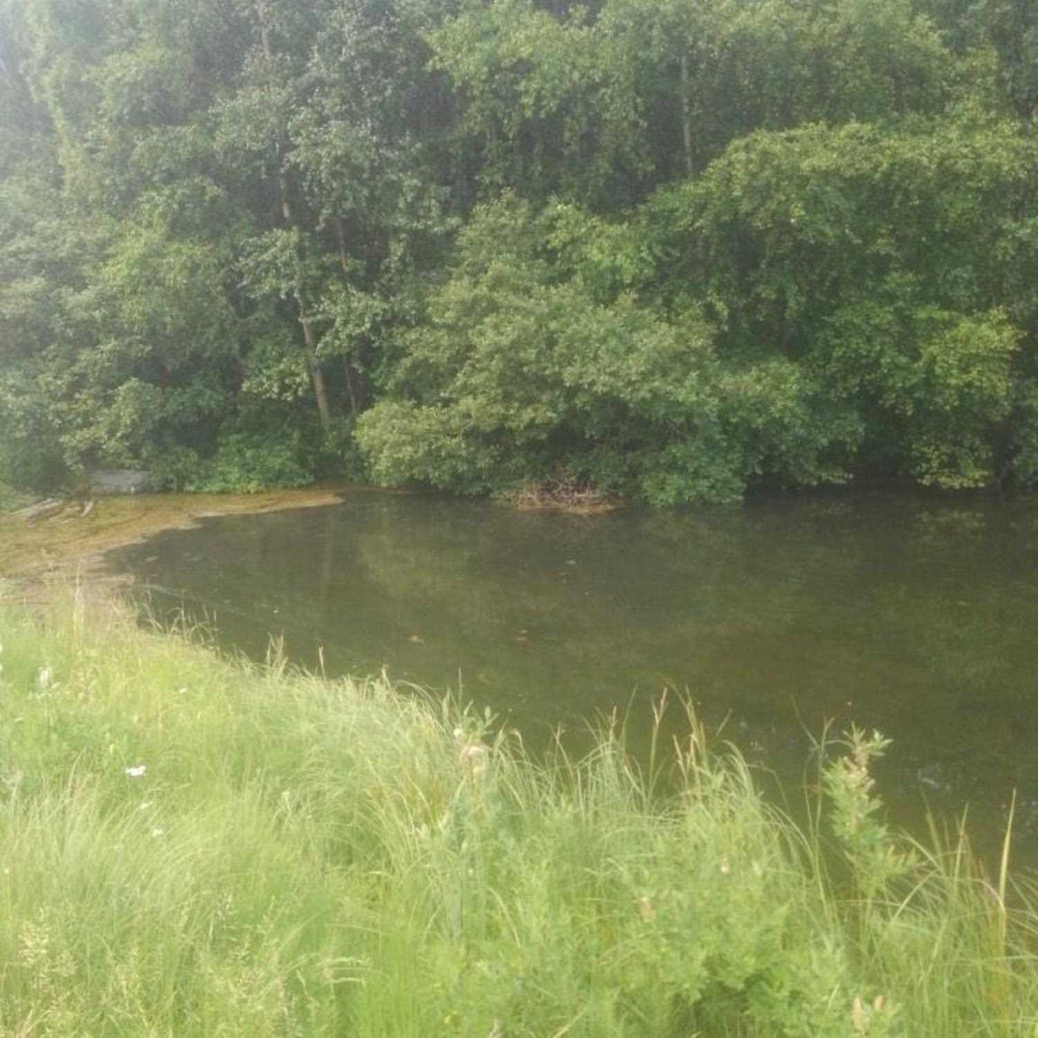
Stream Name: Tern Lake tributary
Elevation:
Site Comments: Tributray to Tern Lake #2
Survey UPD20-SGH20A
Project Supervisor: Gillian O'Doherty, Alaska Department of Fish and Game
— Anchorage, AK
Observers: Kim Clark, Lucas Byker
Overall Fish Passage Rating:
Tidal:
Backwatered:
Step Pools:
Construction Year:
Comments: Information provided by Lucas Byker (ADFG). Water was too deep to take measurements at inlet or outlet. Inlet and outlet approximately 1/3 full with organic sediment. Upstream pond is a new nomination to AWC in 2019
Culvert Measurements
| ID: 1 | Structure Type: Circular pipe | Fish Passage Rating: | |||||||||||||||||||||||||||||||||||||||||
|
|
|
|||||||||||||||||||||||||||||||||||||||||
Comments: Estimated dimentions are Inlet W 36"xH 24", Outler W 36"x H 18". |
|||||||||||||||||||||||||||||||||||||||||||
Stream Measurements
|
|
No stream width data available.
Elevations
No elevation data available.
Fish Sampling Efforts
No fish sampling occurred during this survey.
Fish Observations
No fish observations occurred during this survey.
Photos

Questions or comments about this report can be directed to dfg.dsf.webmaster@alaska.gov