Fish Passage Site 20303928
Coordinates (dec. deg.): 60.27503°, -149.34597°
Legal Description: S002N001E07
Region: South Central
Road Name: Seward Highway
Datum: NAD83
Quad Name / ITM: Seward B-7
AWC Stream #: 244-30-10010-2250-3026
Stream Name: Unnamed
Elevation:
Site Comments: Snow River Tributary
Survey UPDATE-KEN38
Project Supervisor: Gillian O'Doherty, ADFG
Observers: Lucas Byker
Overall Fish Passage Rating:
Tidal: No
Backwatered: No
Step Pools: No
Construction Year:
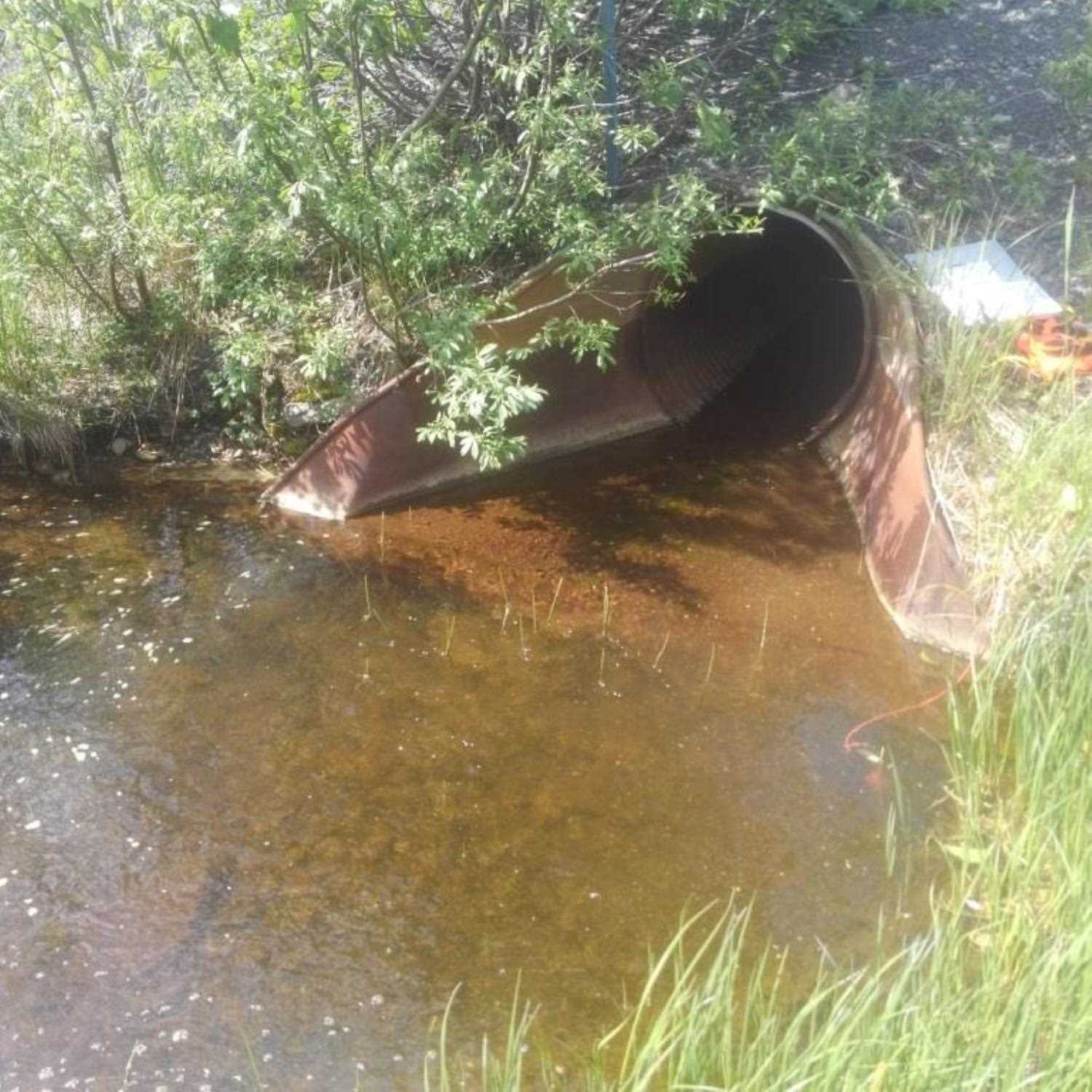
Comments: Site submitted by HB Lucas Byker, ADF&G. Low flow at downstream end of culvert, outlet apron falling apart.
Culvert Measurements
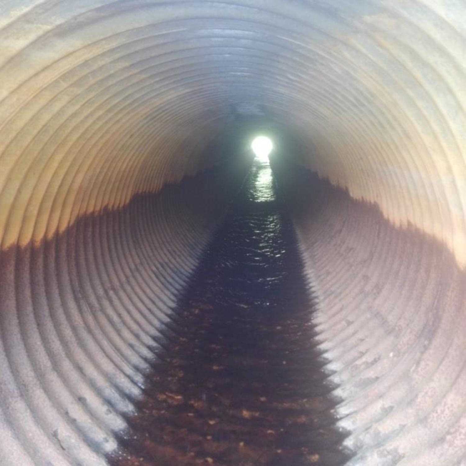
| ID: 1 | Structure Type: Circular pipe (Corrugated steel) | Fish Passage Rating: | |||||||||||||||||||||||||||||||||||||||||
|
|
|
|||||||||||||||||||||||||||||||||||||||||
Comments: Culvert dimensions measured using tape meaure. |
|||||||||||||||||||||||||||||||||||||||||||
Stream Measurements
|
|
No stream width data available.
Elevations
No elevation data available.
Fish Sampling Efforts
| Gear Type: Minnow Trap (A) | Trap Duration(h): 0.35 | |
| Gear Type: Minnow Trap (B) | Trap Duration(h): 0.35 | |
Fish Observations
| Species: juvenile coho salmon | Life History: Anadromous | ||
| Total Fish Observed: 9 | Fish Measured: | Fork Lengths (mm) Min: Max: Mean: | |
| Collected/Observed by Gear Type: Downstream Minnow Trap (8) Upstream Minnow Trap (1) | |||
Photos

Questions or comments about this report can be directed to dfg.dsf.webmaster@alaska.gov