Fish Passage Site 20303926
Coordinates (dec. deg.): 60.52437°, -149.51443°
Legal Description: S005N001W18
Region: South Central
Road Name: Kenai Borough ROW
Datum: NAD83
Quad Name / ITM: Seward C-7
AWC Stream #: 244-30-10010-2177-3020
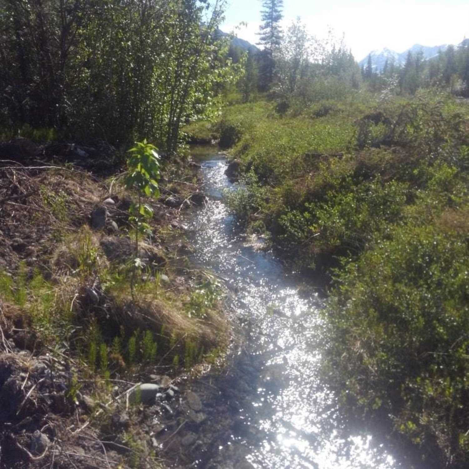
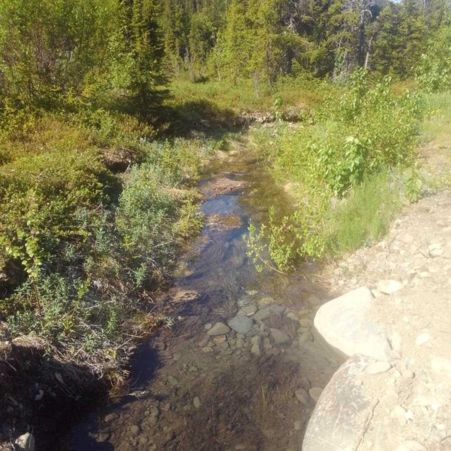
Stream Name: Daves Creek
Elevation:
Site Comments: None
Survey UPDATE-KEN36
Project Supervisor: Gillian O'Doherty, ADFG
Observers: Lucas Byker
Overall Fish Passage Rating:
Tidal:
Backwatered:
Step Pools:
Construction Year: 2019
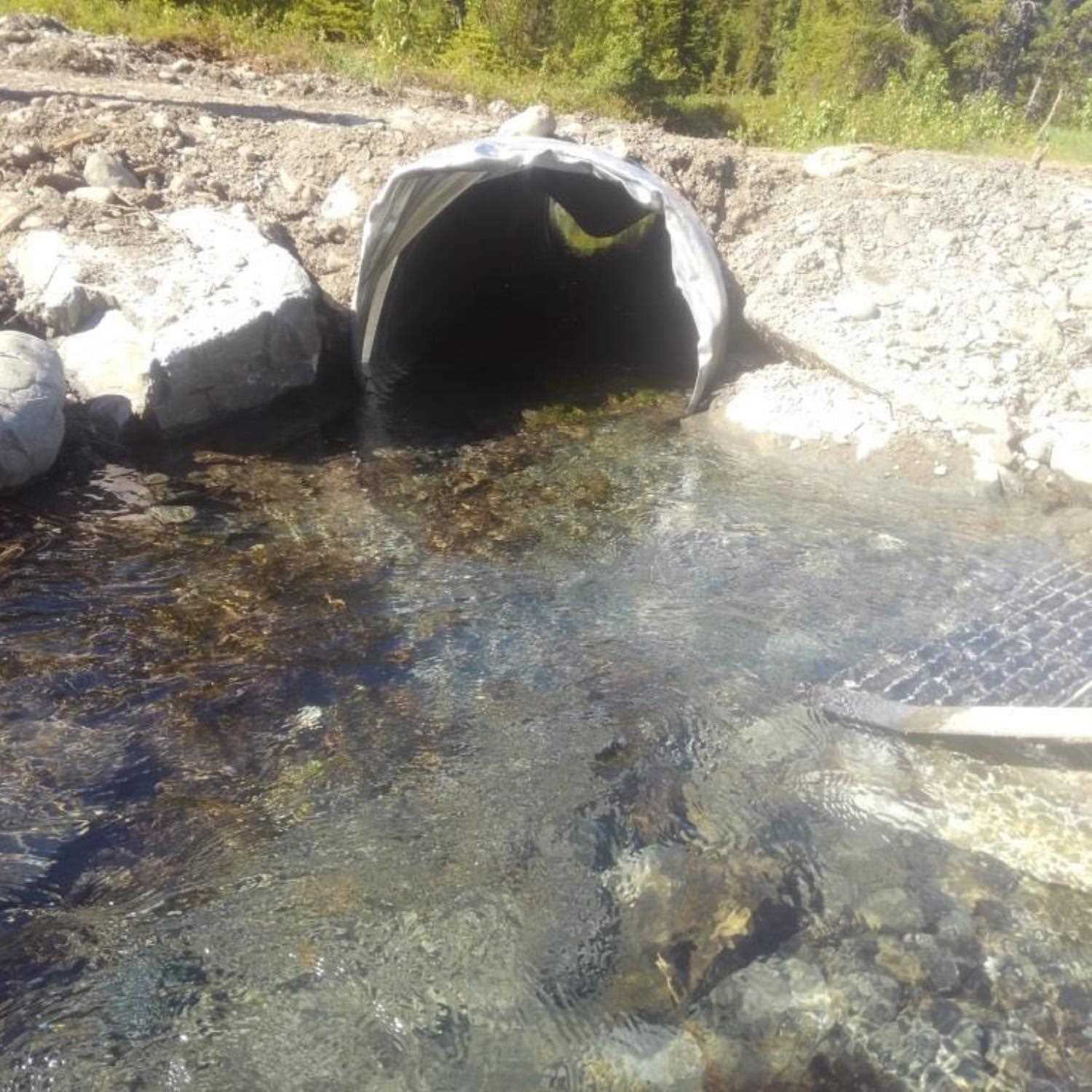
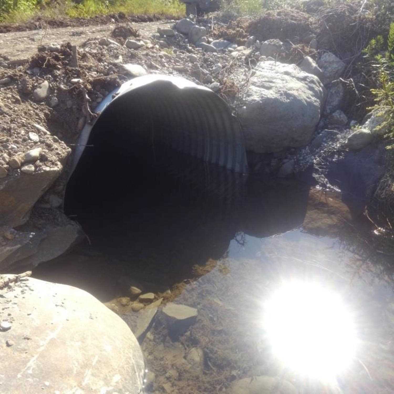
Comments: Culvert information submitted by HB Lucas Byker, ADF&G. All culvert dimensions were measured with tape measure. Unpermitted structure in borough right of way. No trapping at site, but juvenile salmonids observed upstream and downstream of crossing, culvert damaged.
Culvert Measurements
| ID: 1 | Structure Type: Circular pipe (Corrugated aluminum) | Fish Passage Rating: | |||||||||||||||||||||||||||||||||||||||||
|
|
|
|||||||||||||||||||||||||||||||||||||||||
Stream Measurements
|
|
No stream width data available.
Elevations
No elevation data available.
Fish Sampling Efforts
| Gear Type: Visual Observation, Ground (A) | ||
| Comments: Juvenile salmon observed upstream and downstream from crossing. | ||
Fish Observations
No fish observations occurred during this survey.
Photos

Questions or comments about this report can be directed to dfg.dsf.webmaster@alaska.gov