Fish Passage Site 20303925
Coordinates (dec. deg.): 60.53334°, -149.56820°
Legal Description: S005N002W11
Region: South Central
Road Name: Sterling Highway
Datum: NAD83
Quad Name / ITM: Seward C-7
AWC Stream #: 244-30-10010-2177-3020-4285
Stream Name: Unnamed
Elevation:
Site Comments: Daves Creek Tributary
Survey UPDATE-KEN35
Project Supervisor: Gillian O'Doherty, ADFG
Observers: Lucas Byker
Overall Fish Passage Rating:
Tidal: No
Backwatered: No
Step Pools: No
Construction Year:
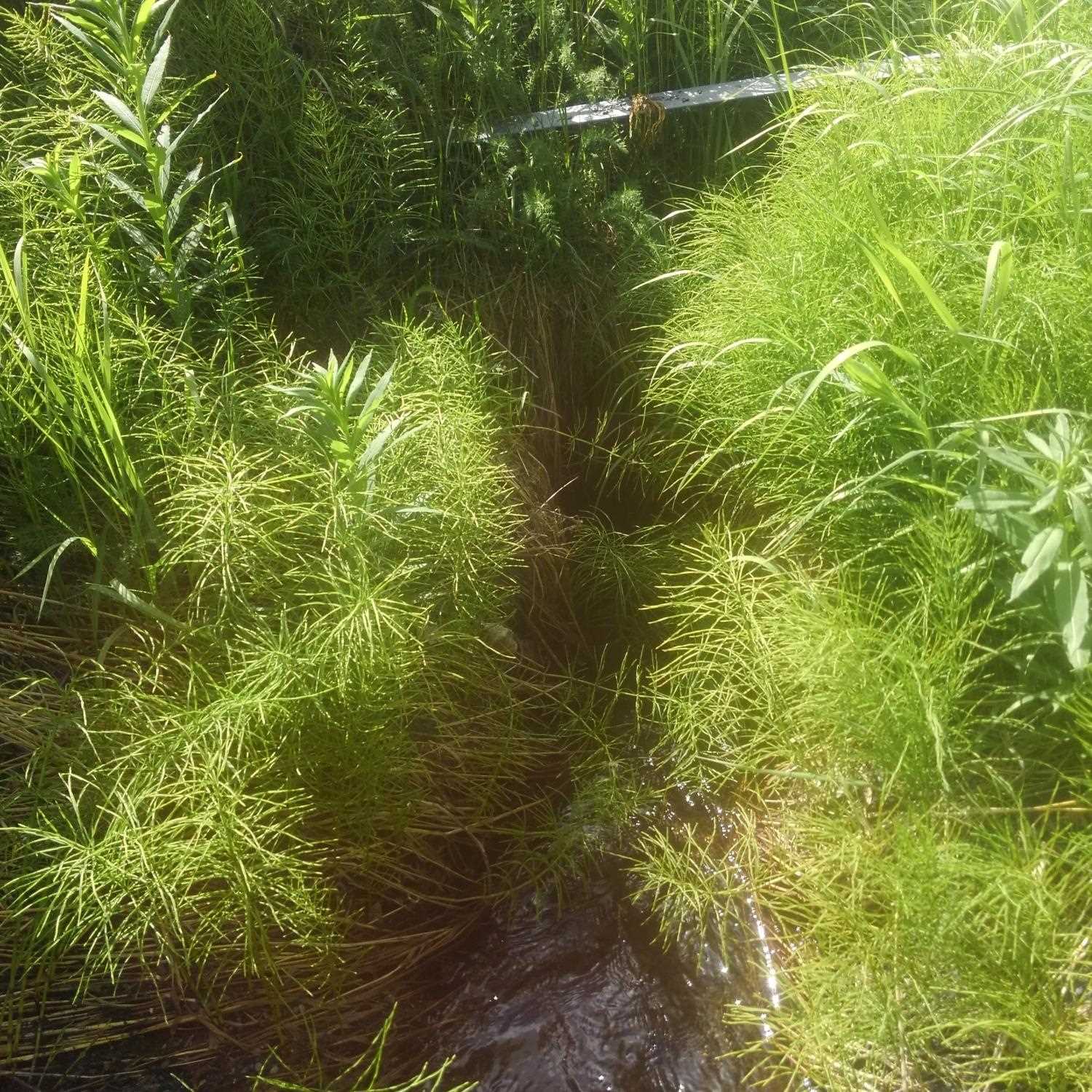
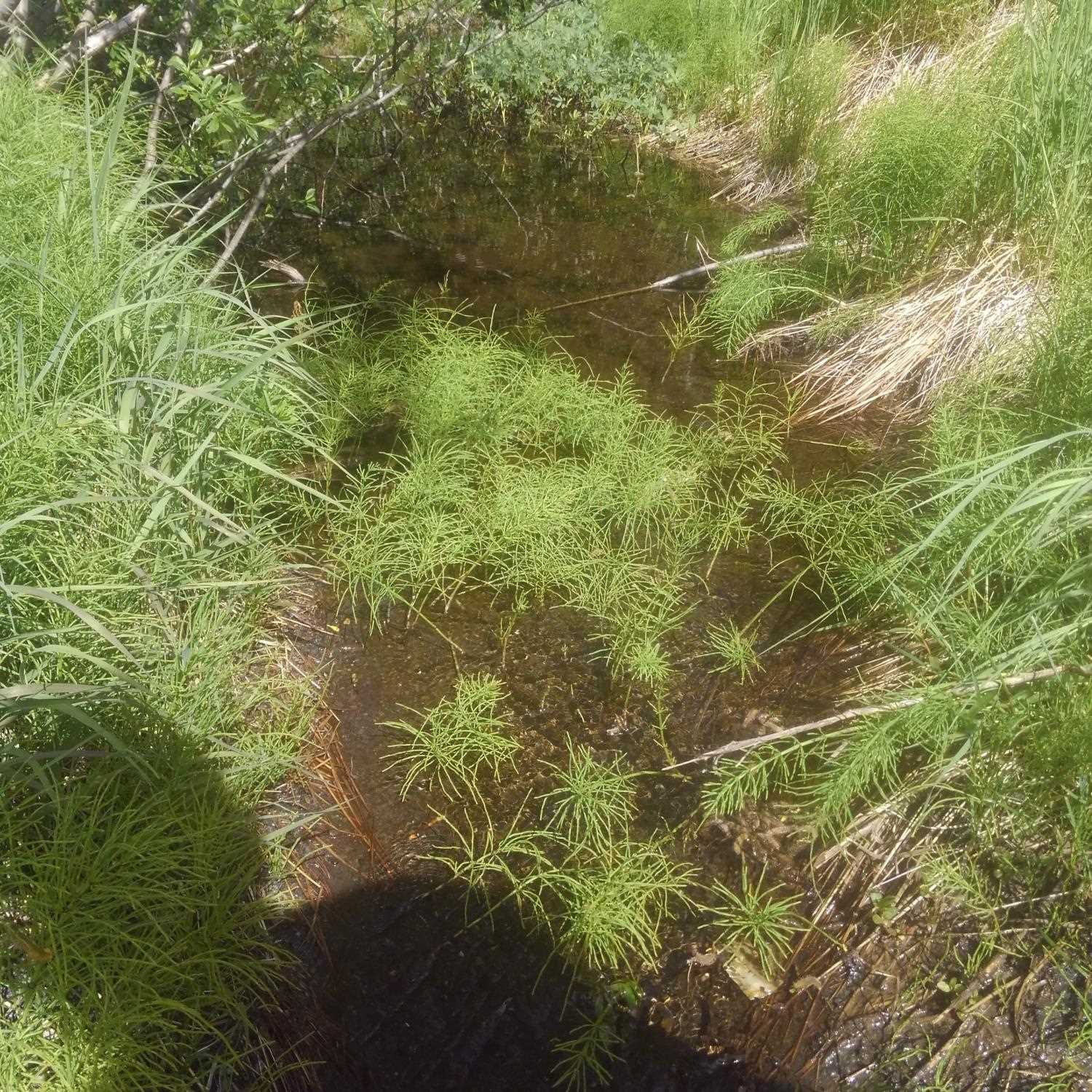
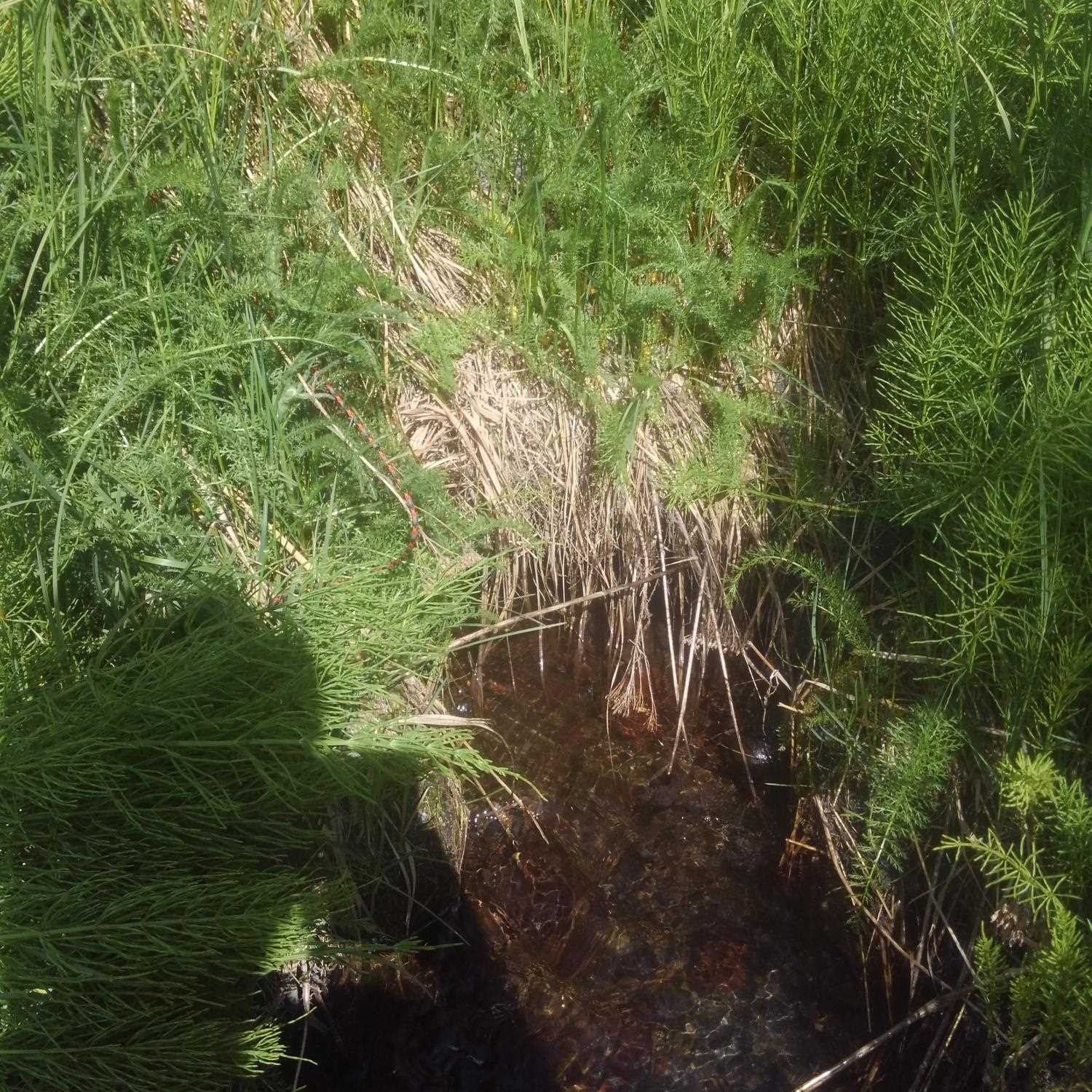
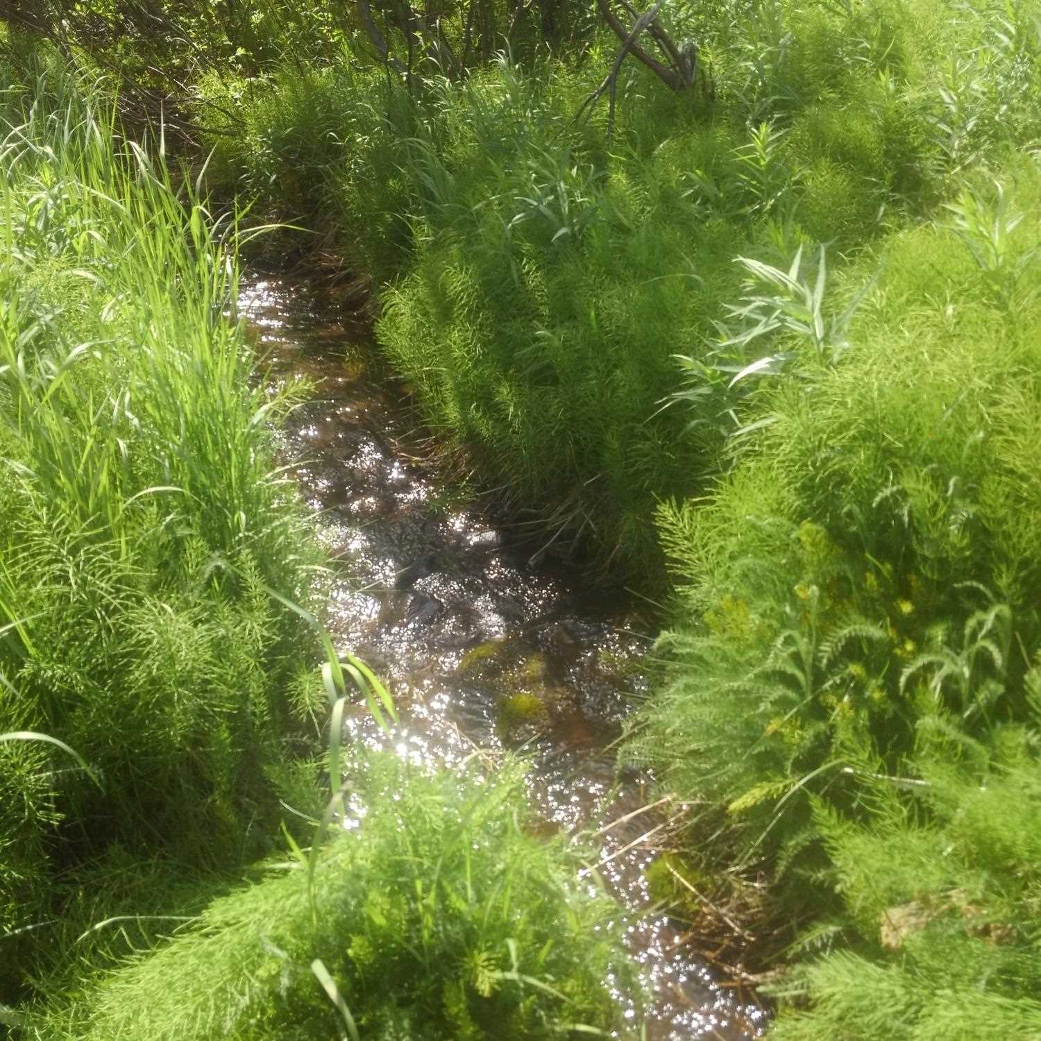
Comments: Site submitted by HB Lucas Byker, ADF&G. All recorded culvert dimensions were measured using a tape measure. Culvert obscured by vegetation. Six inch drop about 5 feet downstream of outlet, marginal upstream habitat, channel dissipates into wetland.
Culvert Measurements
| ID: 1 | Structure Type:N/A | Fish Passage Rating: | |||||||||||||||||||||||||||||||||||||||||
|
|
|
|||||||||||||||||||||||||||||||||||||||||
Stream Measurements
|
|
No stream width data available.
Elevations
No elevation data available.
Fish Sampling Efforts
| Gear Type: Minnow Trap (A) | Trap Duration(h): 5.3166666 | |
| Gear Type: Minnow Trap (B) | Trap Duration(h): 5.3166666 | |
Fish Observations
| Species: juvenile coho salmon | Life History: Anadromous | ||
| Total Fish Observed: 1 | Fish Measured: | Fork Lengths (mm) Min: Max: Mean: | |
| Collected/Observed by Gear Type: Downstream Minnow Trap (1) | |||
Photos
Questions or comments about this report can be directed to dfg.dsf.webmaster@alaska.gov