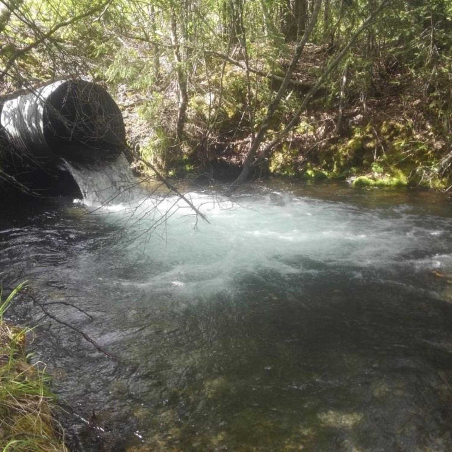
Fish Passage Site 20303924
Coordinates (dec. deg.): 60.50903°, -149.45272°
Legal Description: S005N001W21
Region: South Central
Road Name: Seward Highway
Datum: NAD83
Quad Name / ITM: Seward C-7
AWC Stream #: 244-30-10010-2225-3013
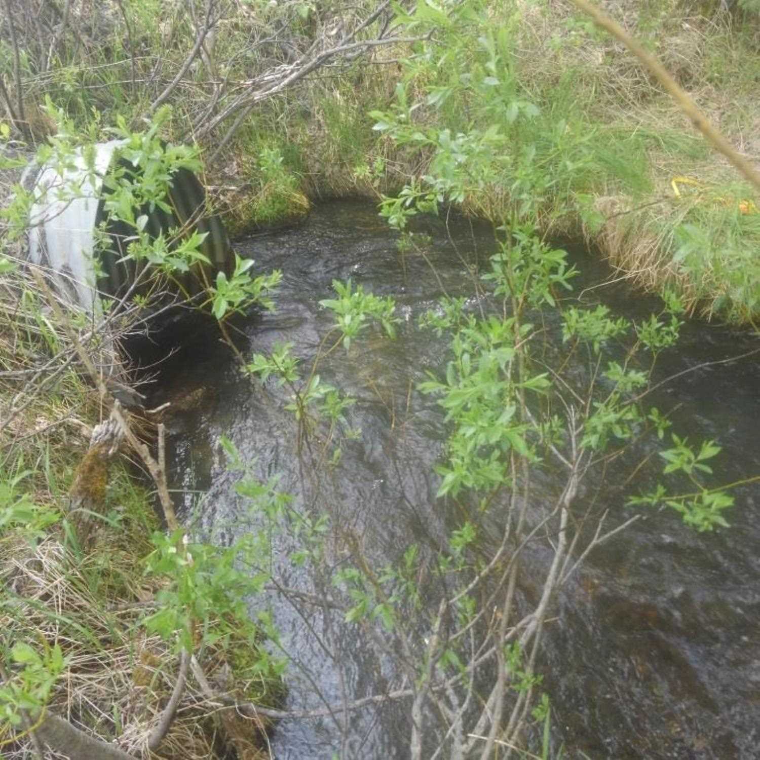
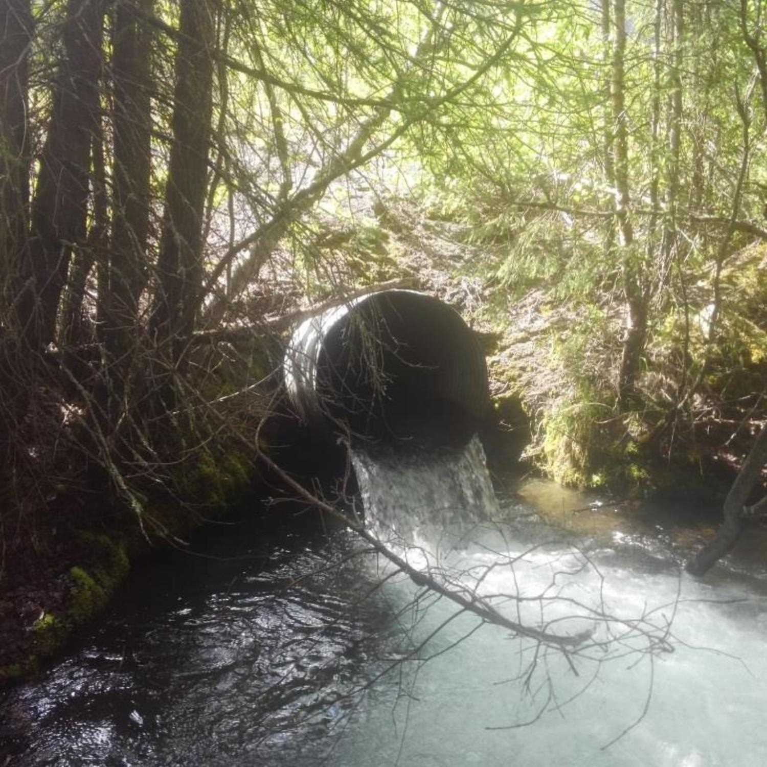
Stream Name: Moose Creek
Elevation:
Site Comments: None
Survey UPDATE-KEN34
Project Supervisor: Gillian O'Doherty, ADFG
Observers: Lucas Byker
Overall Fish Passage Rating:
Tidal: No
Backwatered: No
Step Pools: No
Construction Year:
Site Observations:
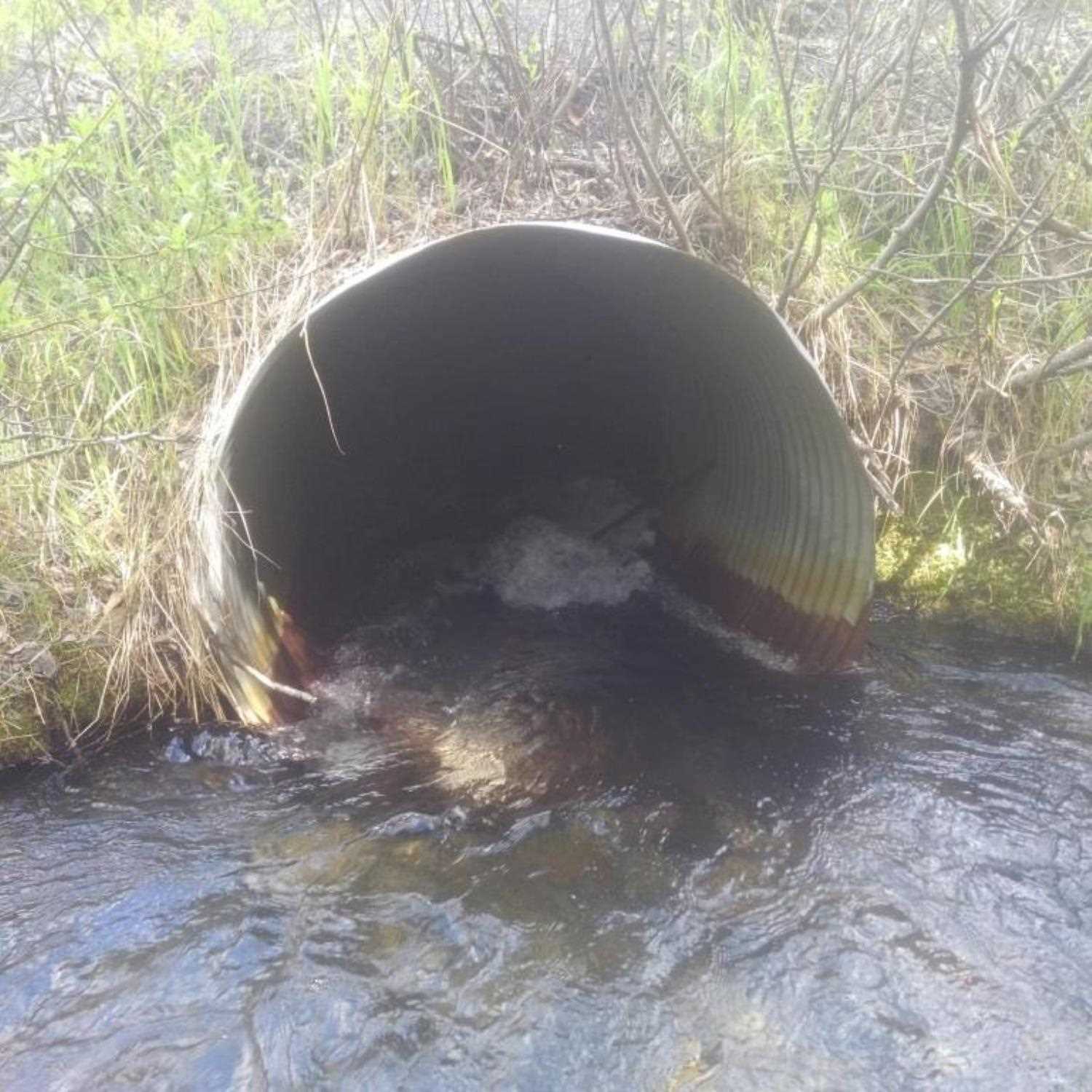
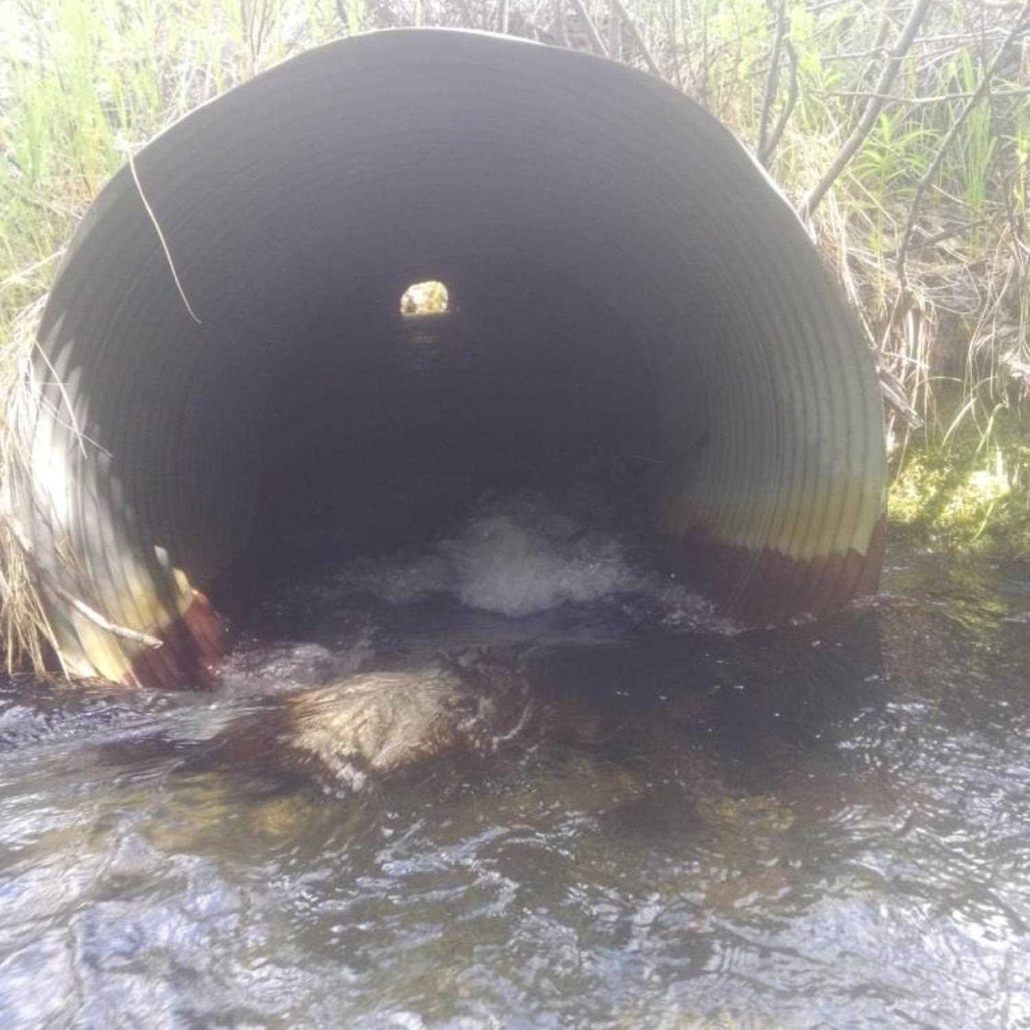
- Outfall height red
Comments: Site submitted by Lucas Byker, ADF&G, HB. All culvert dimensions were measured with tape measure
Culvert Measurements
| ID: 1 | Structure Type: Circular pipe (Corrugated steel) | Fish Passage Rating: | |||||||||||||||||||||||||||||||||||||||||
|
|
|
|||||||||||||||||||||||||||||||||||||||||
Comments: Cuvlert dimensions and outfall measured with tape measure. |
|||||||||||||||||||||||||||||||||||||||||||
Culvert Observations:
|
|||||||||||||||||||||||||||||||||||||||||||
Stream Measurements
|
|
No stream width data available.
Elevations
No elevation data available.
Fish Sampling Efforts
| Gear Type: Minnow Trap (A) | Trap Duration(h): 1.5833334 | |
| Gear Type: Minnow Trap (B) | Trap Duration(h): 1.5833334 | |
Fish Observations
No fish observations occurred during this survey.
Photos
Questions or comments about this report can be directed to dfg.dsf.webmaster@alaska.gov