Fish Passage Site 20303922
Coordinates (dec. deg.): 60.48960°, -149.71627°
Legal Description: S005N003W25
Region: South Central
Road Name: Sterling Highway
Datum: NAD83
Quad Name / ITM: Seward B-8
AWC Stream #: 244-30-10010-2177-3003
Stream Name: Denaina Creek
Elevation:
Site Comments: None
Survey UPDATE-KEN32
Project Supervisor: Gillian O'Doherty, ADFG
Observers: Lucas Byker
Overall Fish Passage Rating:
Tidal:
Backwatered:
Step Pools:
Construction Year:
Comments: Site submitted by Lucas Byker, ADF&G, Habitat Section.
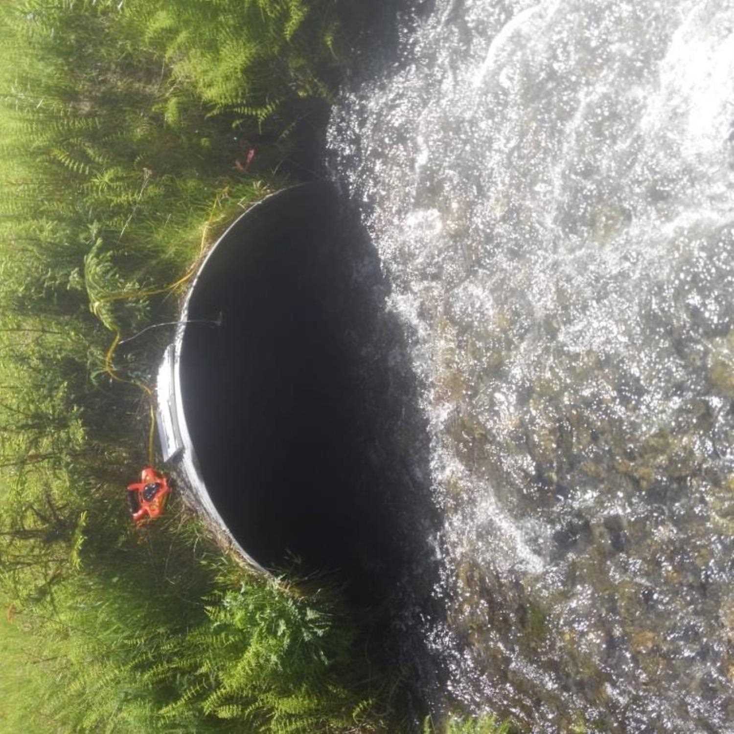
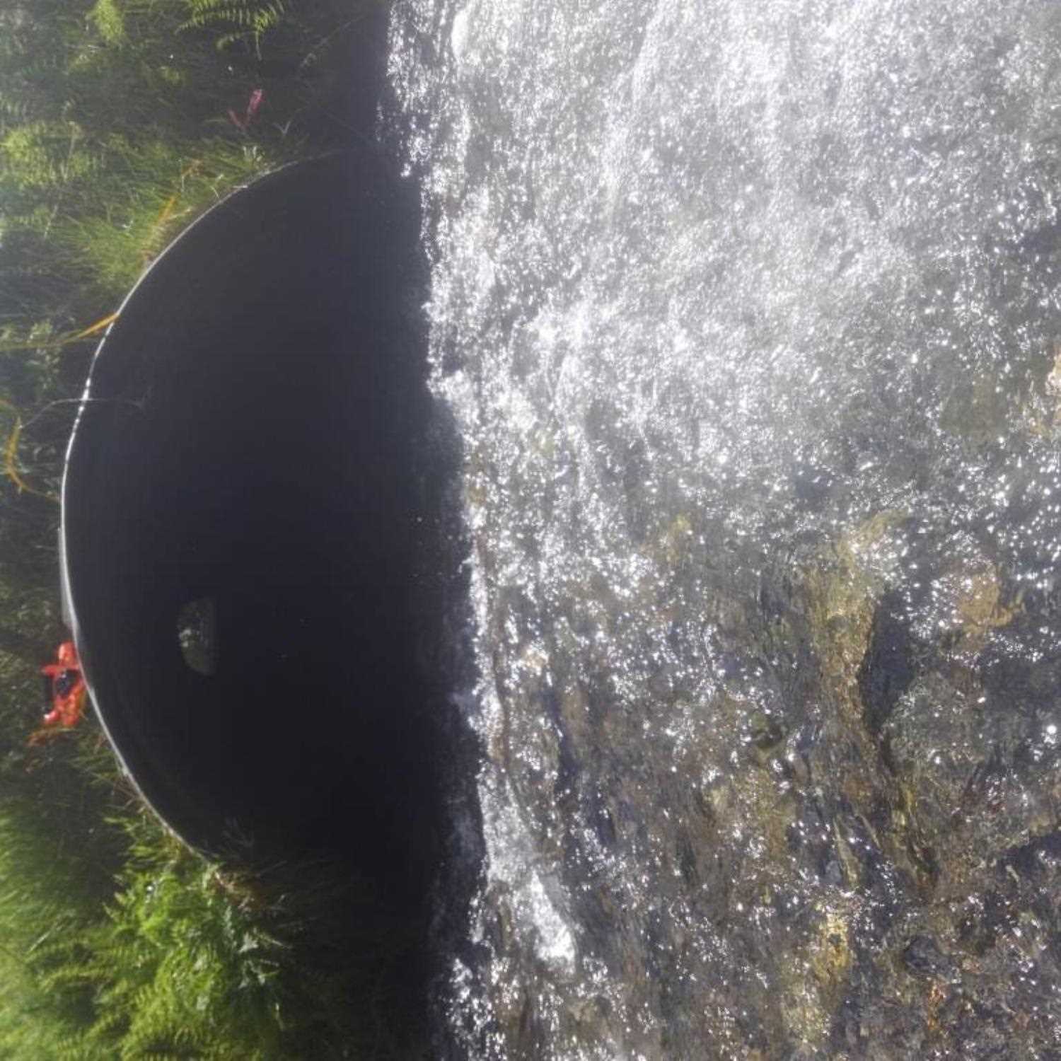
Culvert Measurements
| ID: 1 | Structure Type: Open-bottom arch | Fish Passage Rating: | |||||||||||||||||||||||||||||||||||||||||
|
|
|
|||||||||||||||||||||||||||||||||||||||||
Comments: Culvert was measured with tape measure. |
|||||||||||||||||||||||||||||||||||||||||||
Stream Measurements
|
|
No stream width data available.
Elevations
No elevation data available.
Fish Sampling Efforts
| Gear Type: Minnow Trap (A) | Trap Duration(h): 3.25 | |
| Gear Type: Minnow Trap (B) | Trap Duration(h): 3.25 | |
Fish Observations
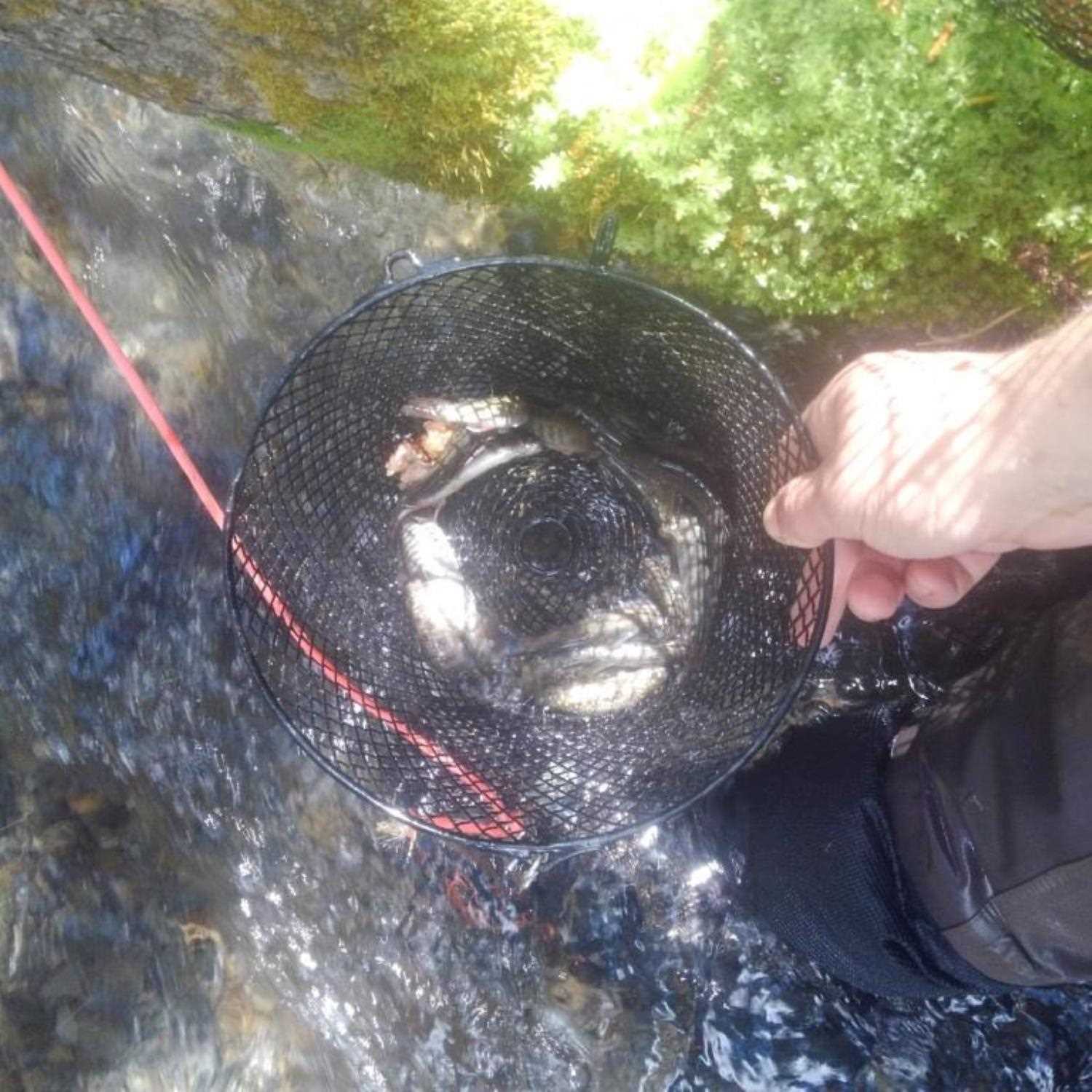
| Species: Dolly Varden | Life History: Unknown | ||
| Total Fish Observed: 27 | Fish Measured: | Fork Lengths (mm) Min: Max: Mean: | |
| Collected/Observed by Gear Type: Downstream Minnow Trap (26) Upstream Minnow Trap (1) | |||
| Species: threespine stickleback | Life History: Unknown | ||
| Total Fish Observed: 1 | Fish Measured: | Fork Lengths (mm) Min: Max: Mean: | |
| Collected/Observed by Gear Type: Downstream Minnow Trap (1) | |||
Photos
Questions or comments about this report can be directed to dfg.dsf.webmaster@alaska.gov