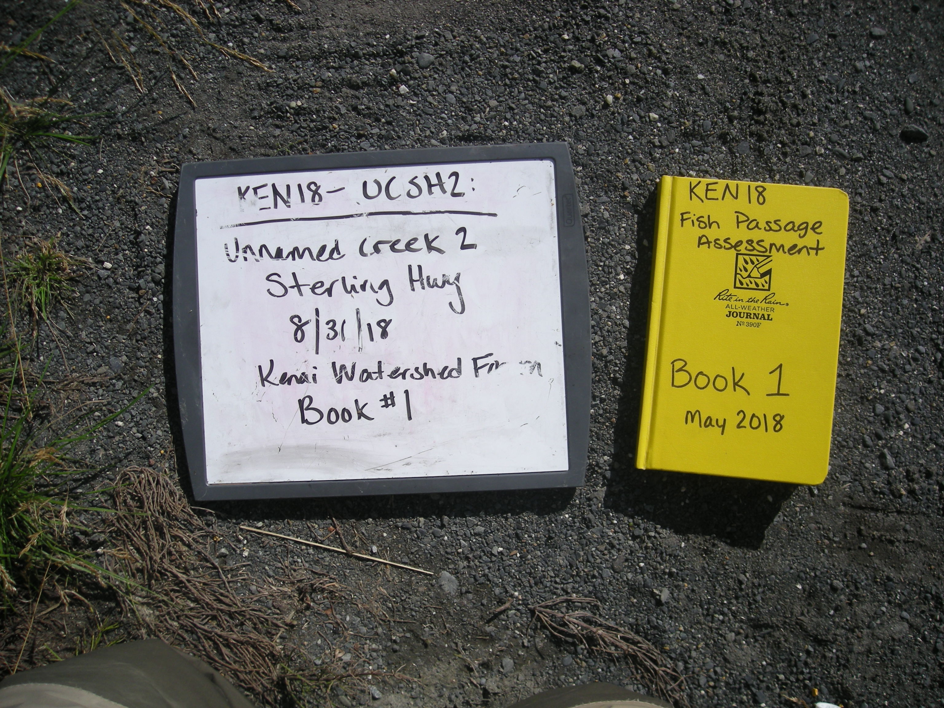
Fish Passage Site 20303807
Coordinates (dec. deg.): 60.52432°, -149.64348°
Legal Description: S005N002W16
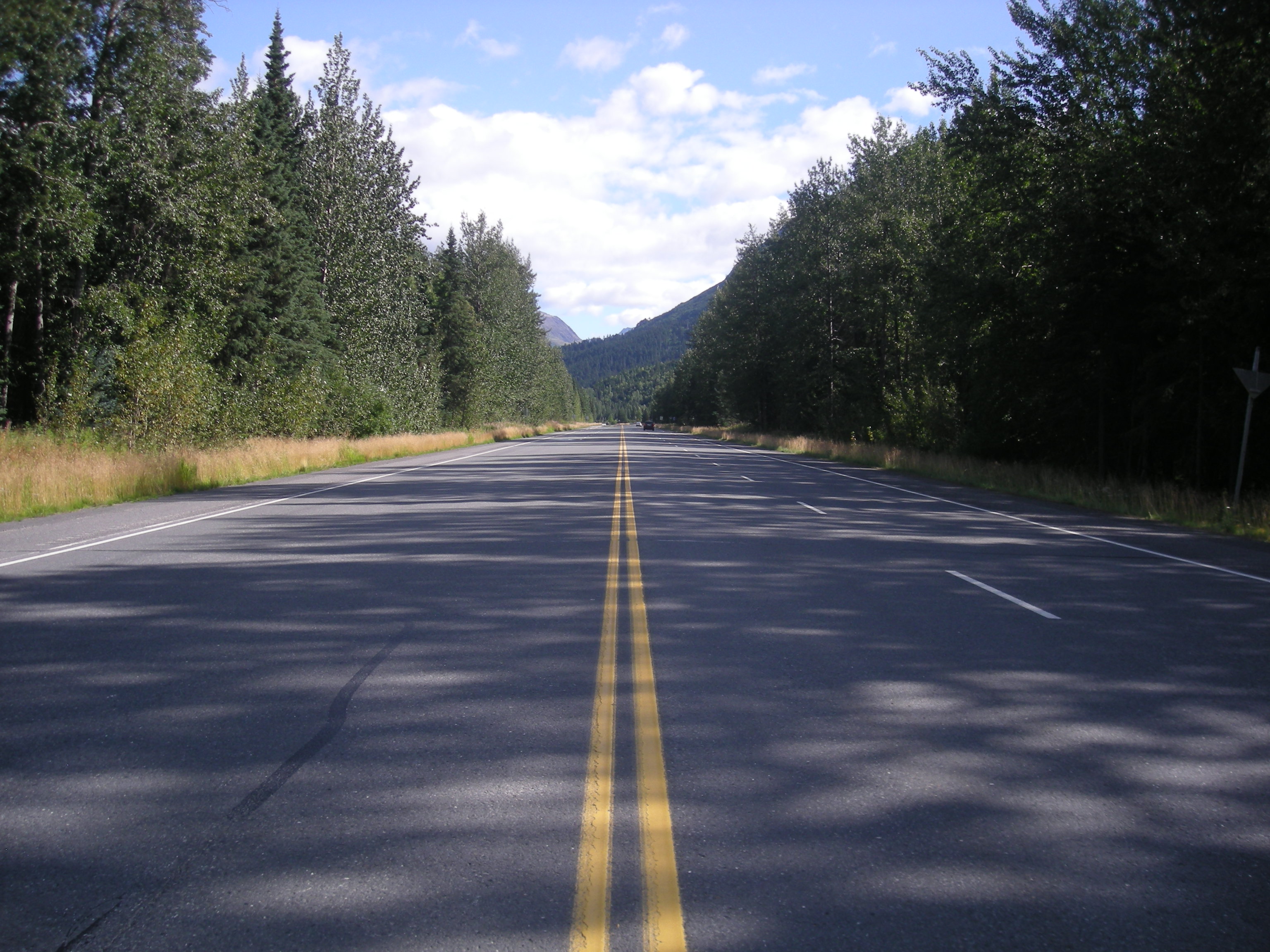
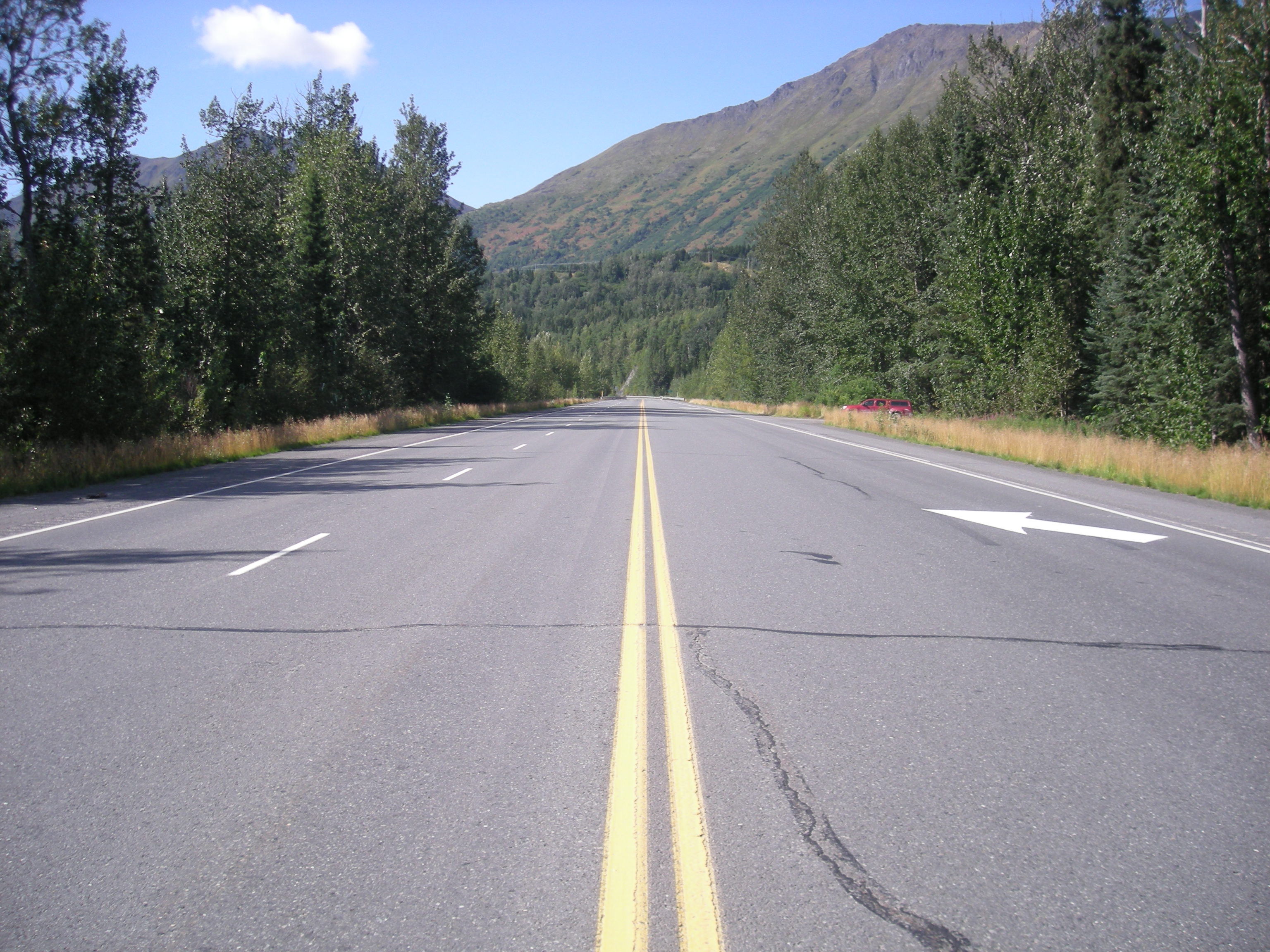
Region: South Central
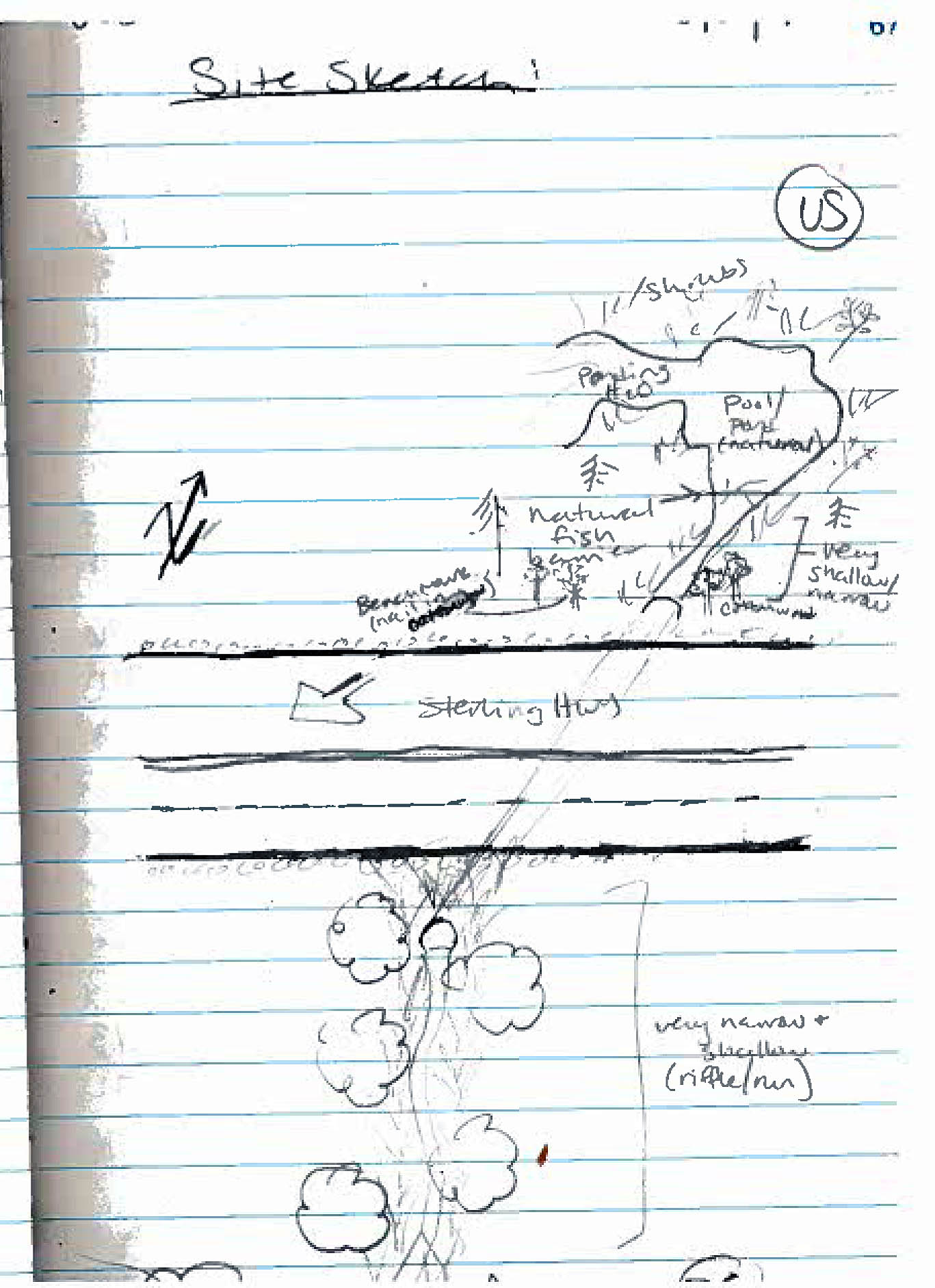
Road Name: Sterling Highway
Datum: NAD83
Quad Name / ITM: Seward C-8
AWC Stream #: 244-30-10010-2177-3022
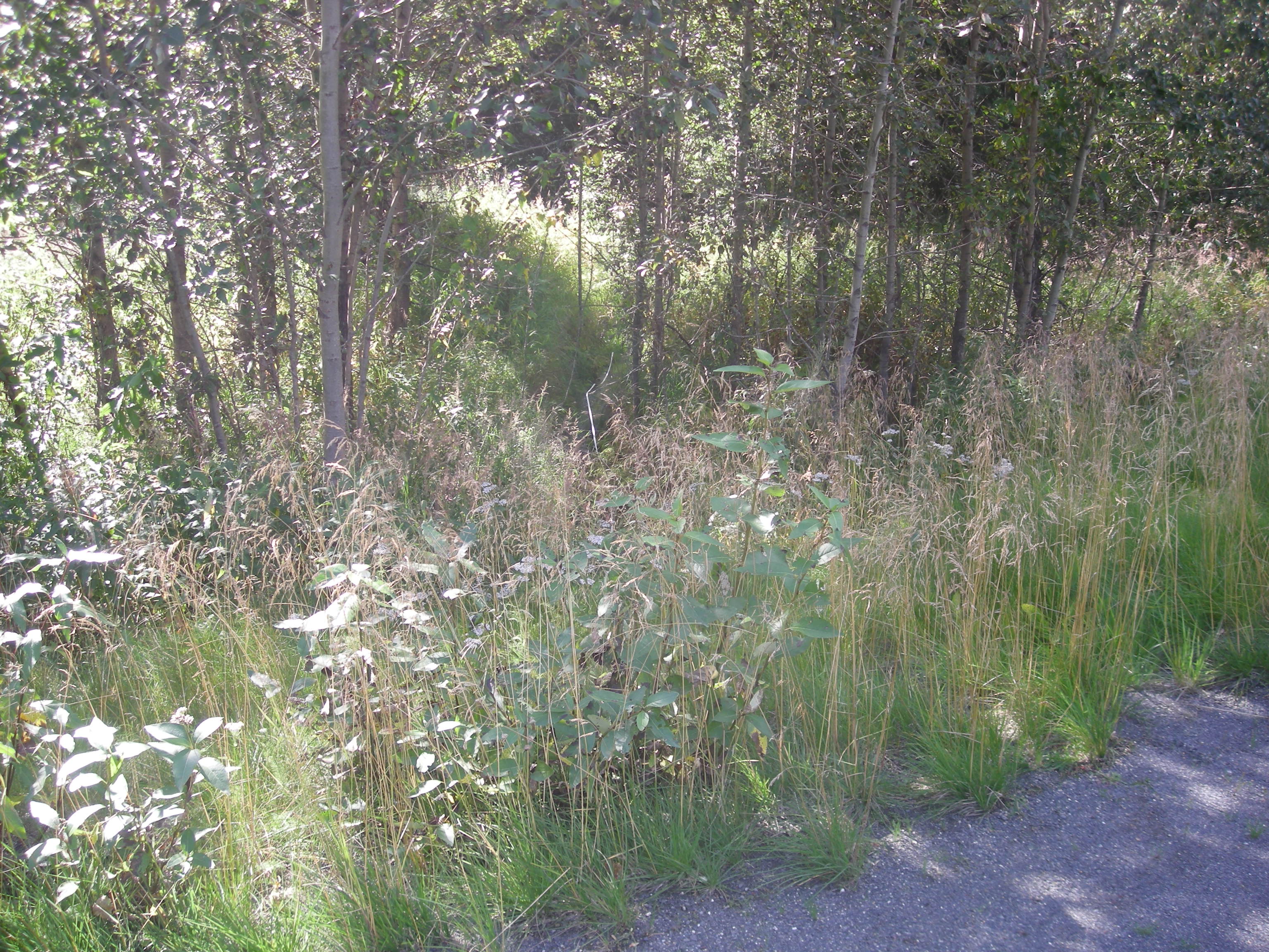
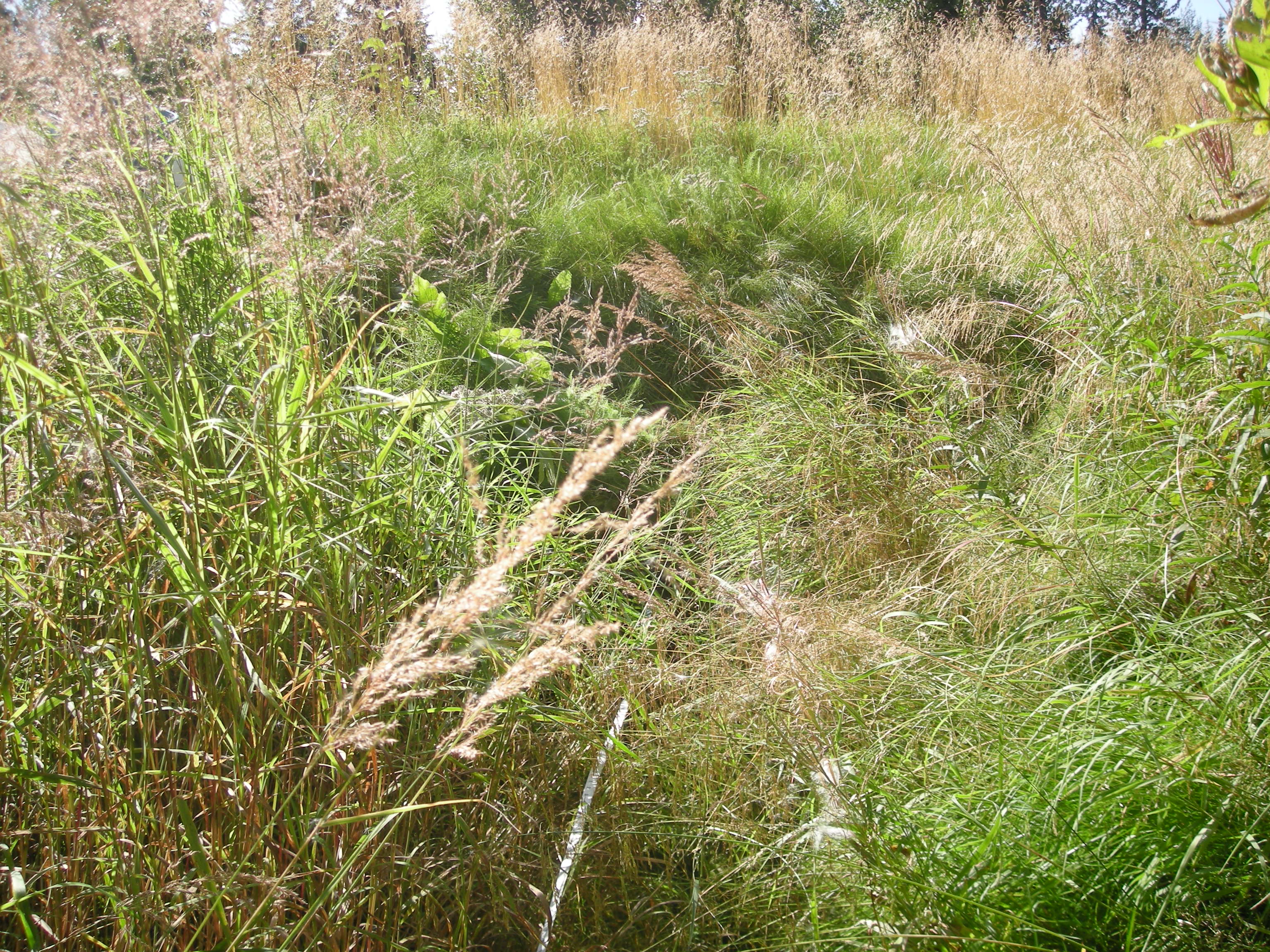
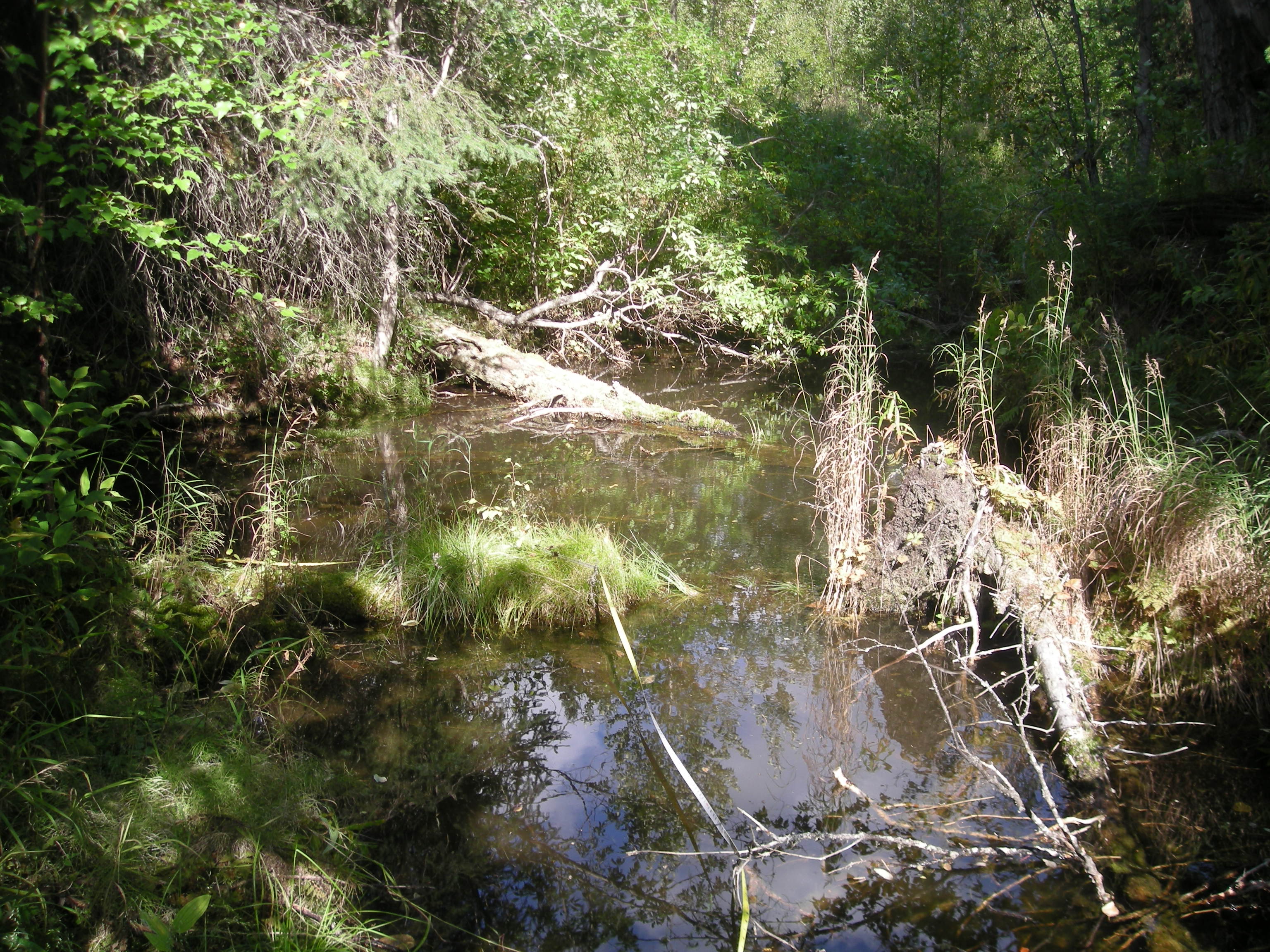
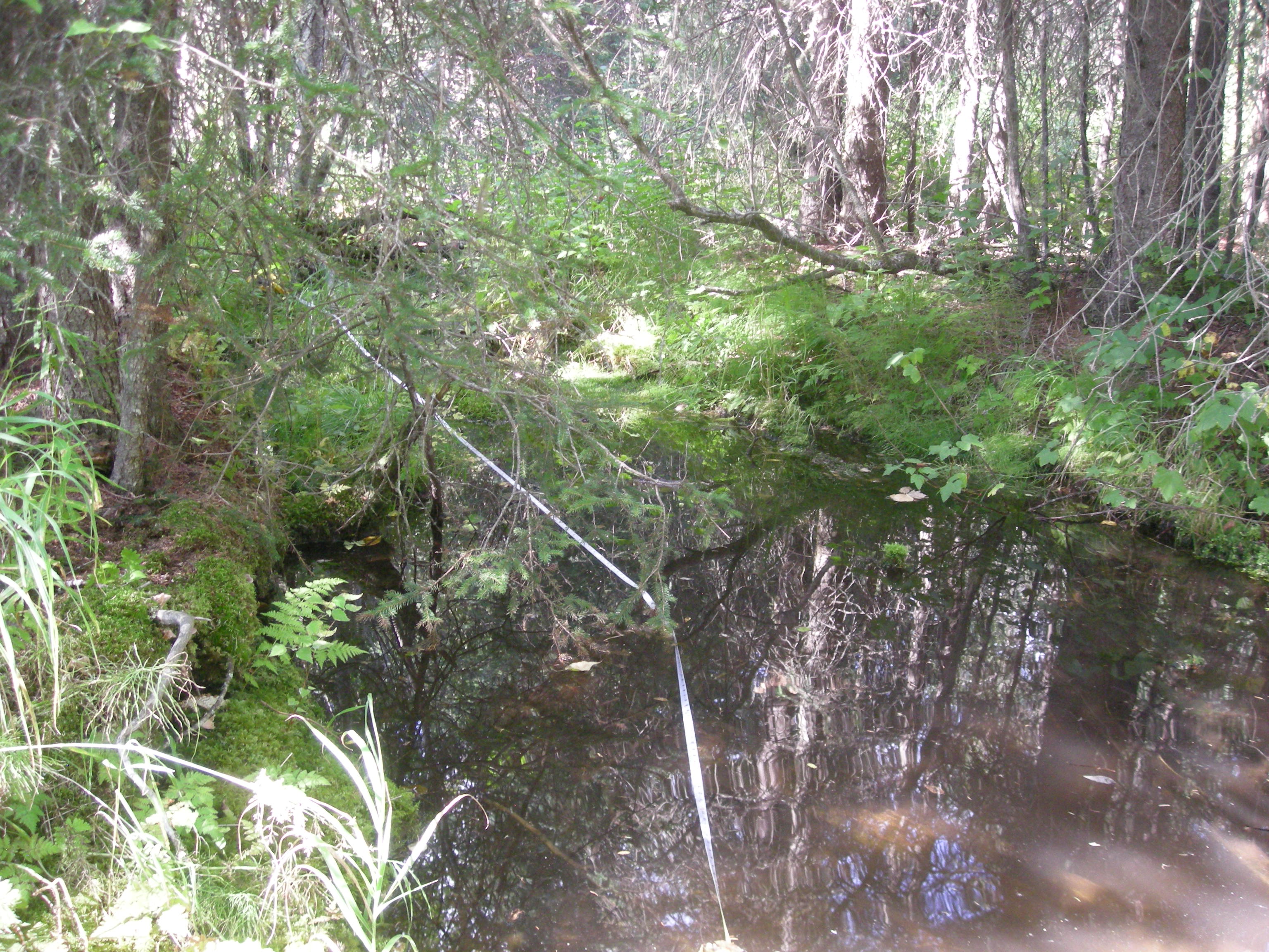
Stream Name: Unnamed
Elevation:
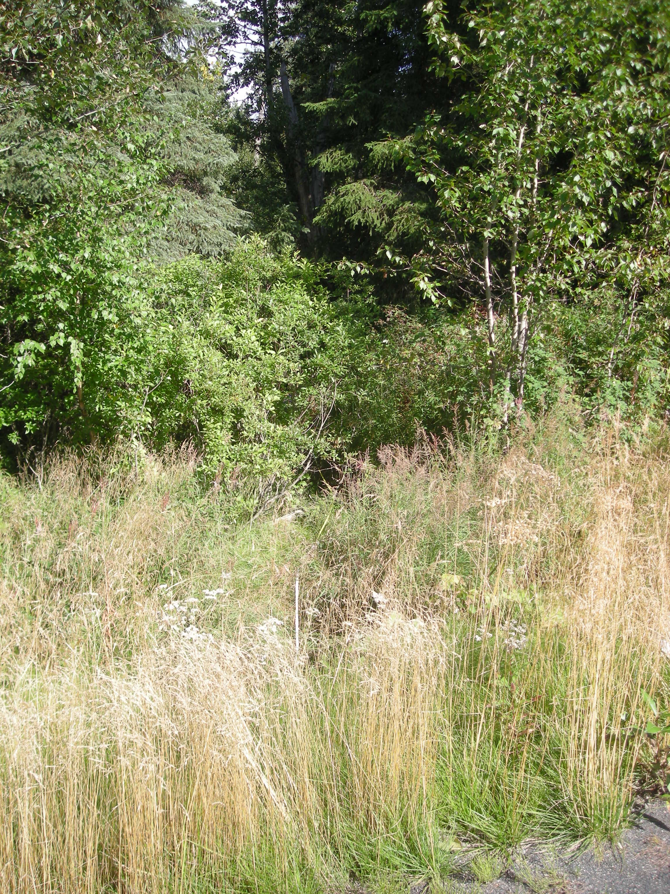
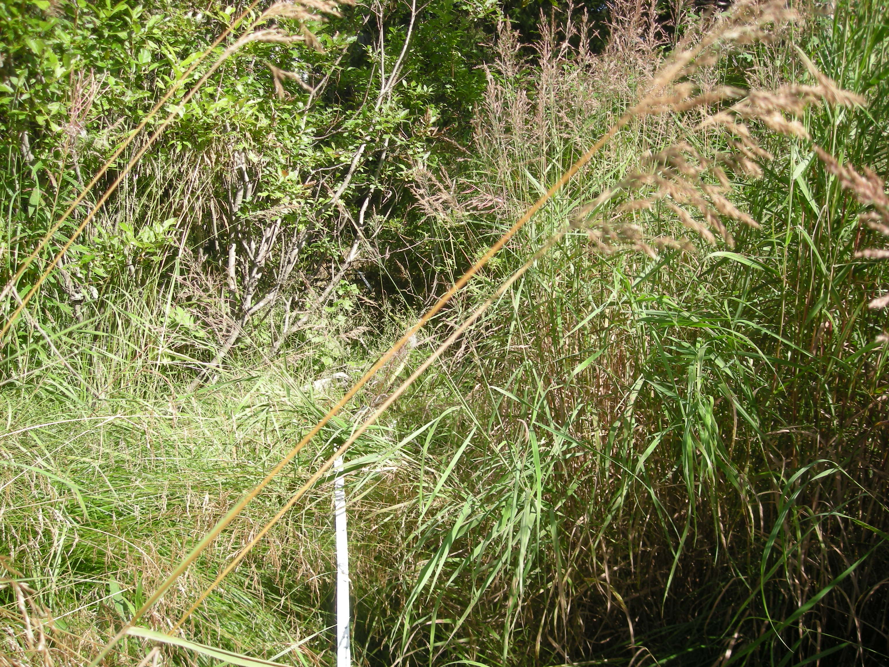
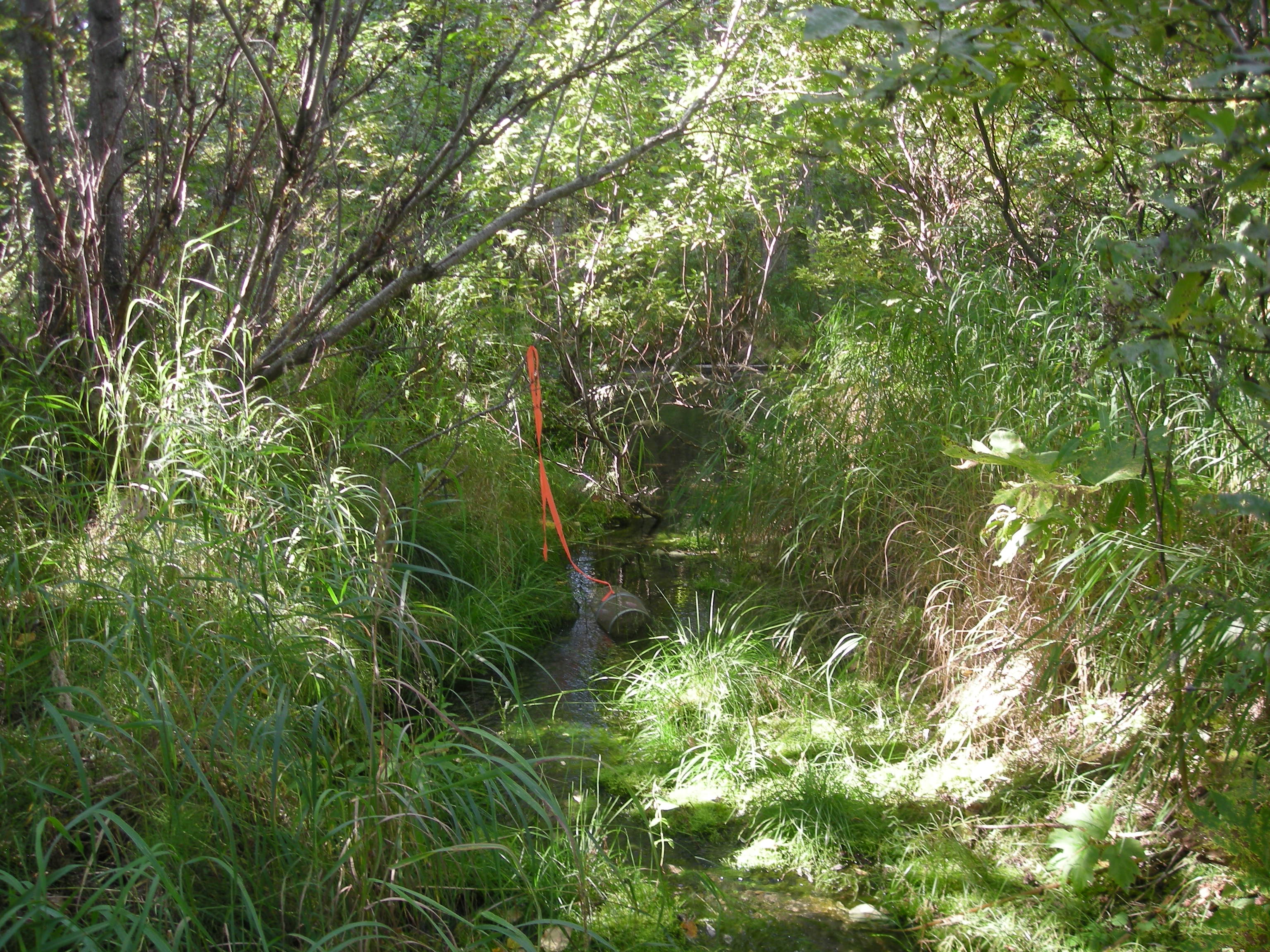
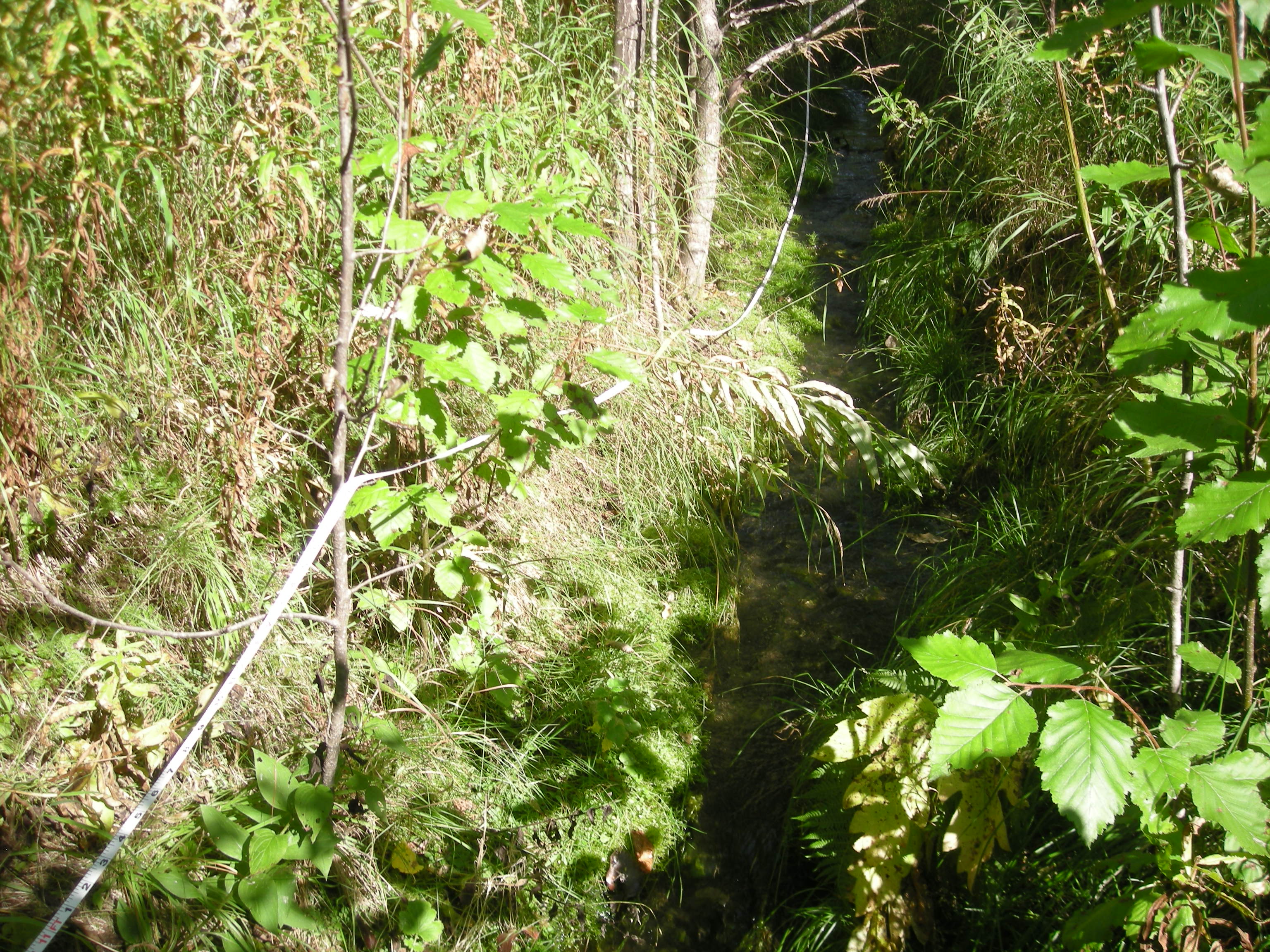
Site Comments: Creek is a tributary to Quarz Creek
Survey KEN18-UCSH2
Observers: Maggie Harings, Alice Main
Overall Fish Passage Rating:
Tidal: No
Backwatered: No
Step Pools: No
Construction Year:
Site Observations:
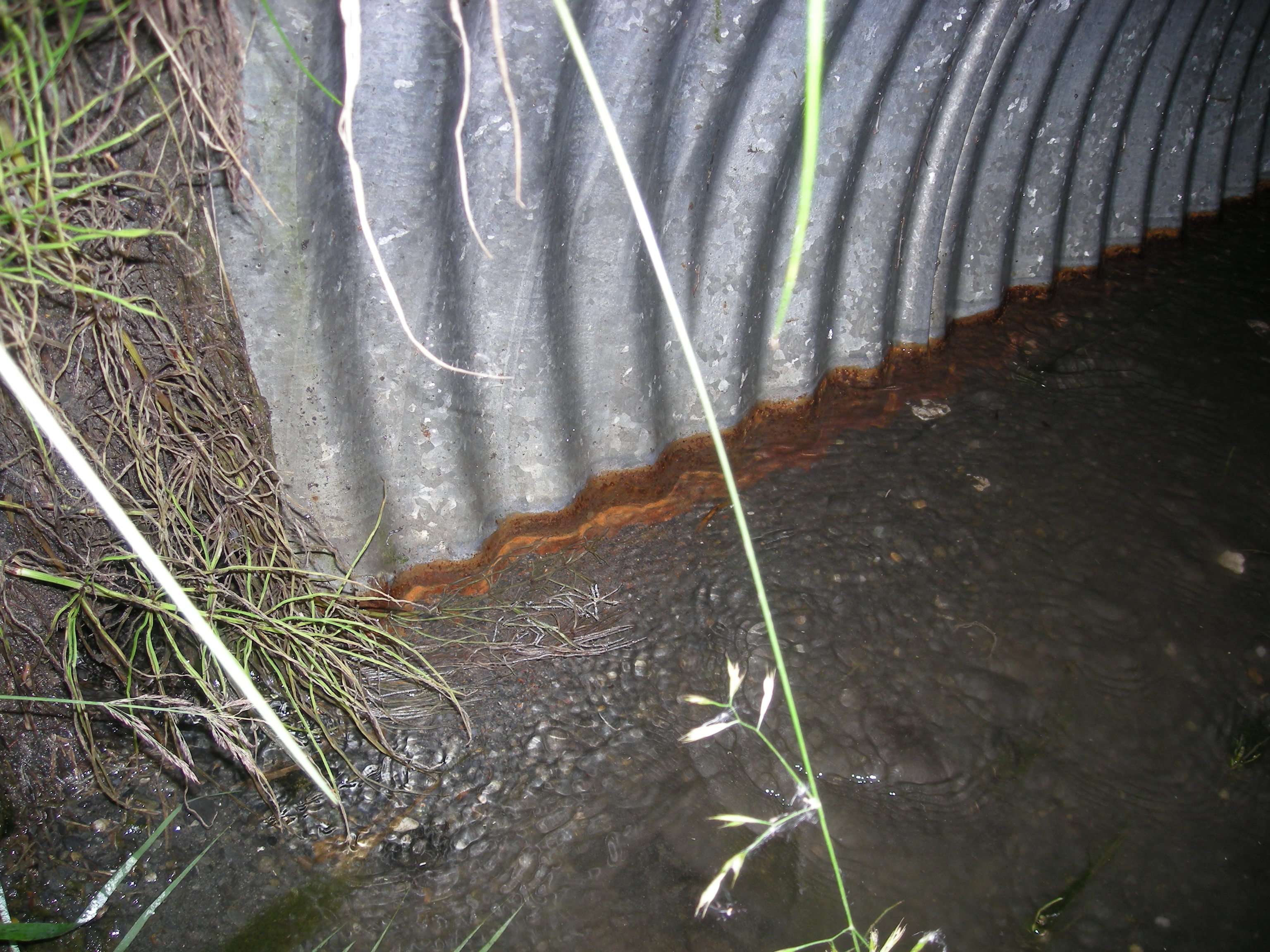
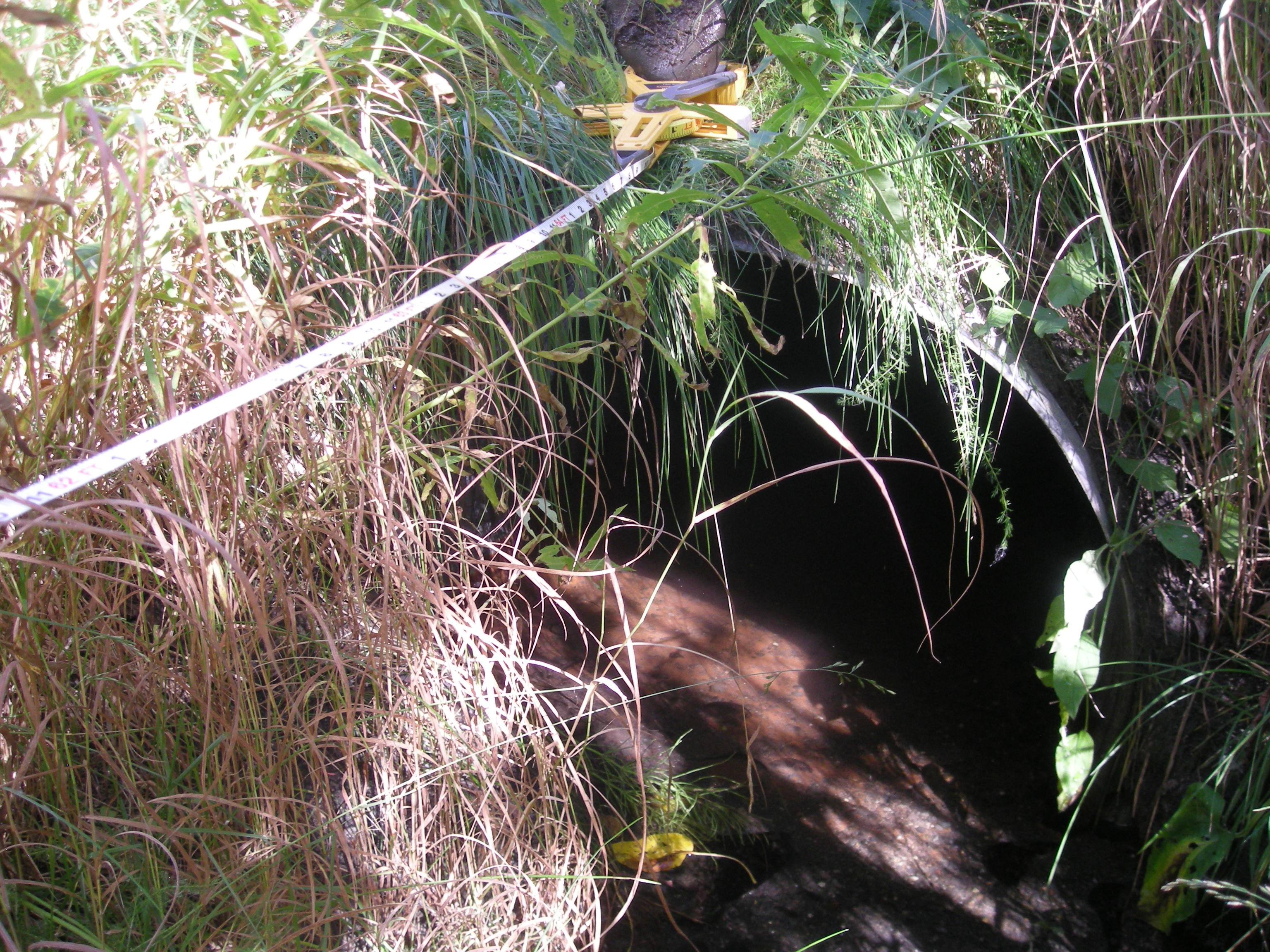
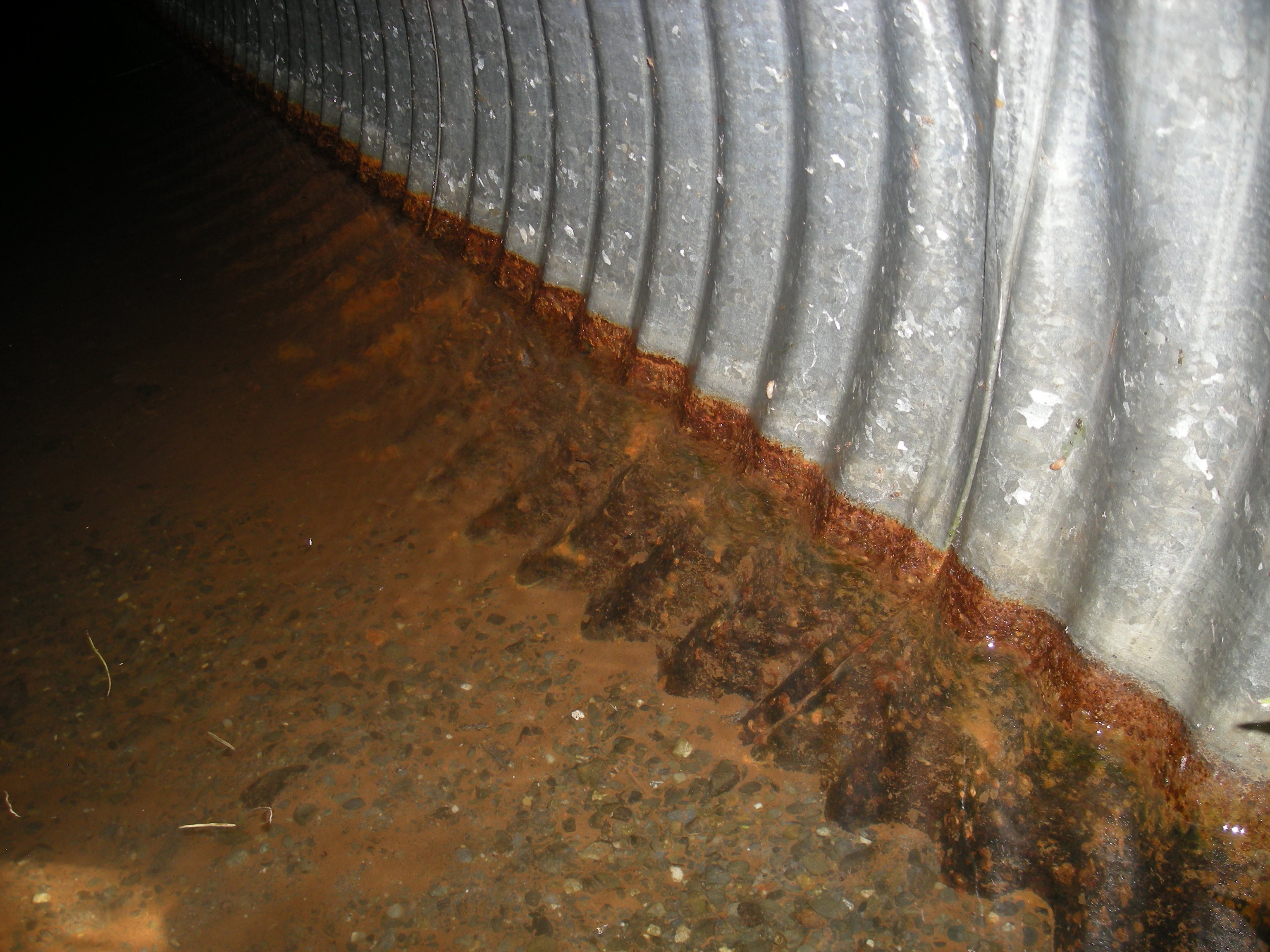
- Constriction ratio gray
- Improper bedding
- Shallow fill; inadequate roadfill volume above culvert
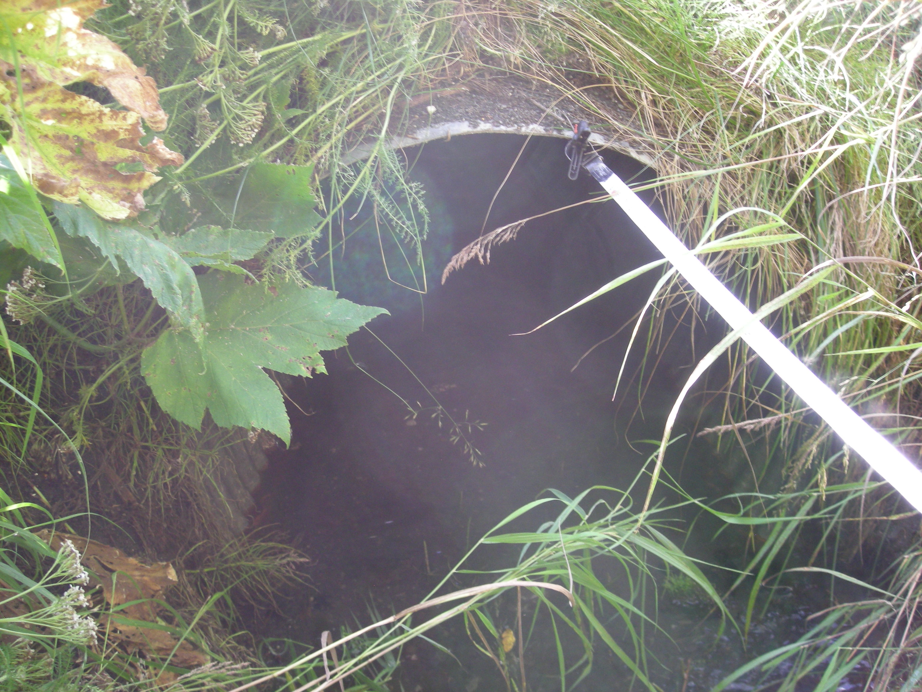
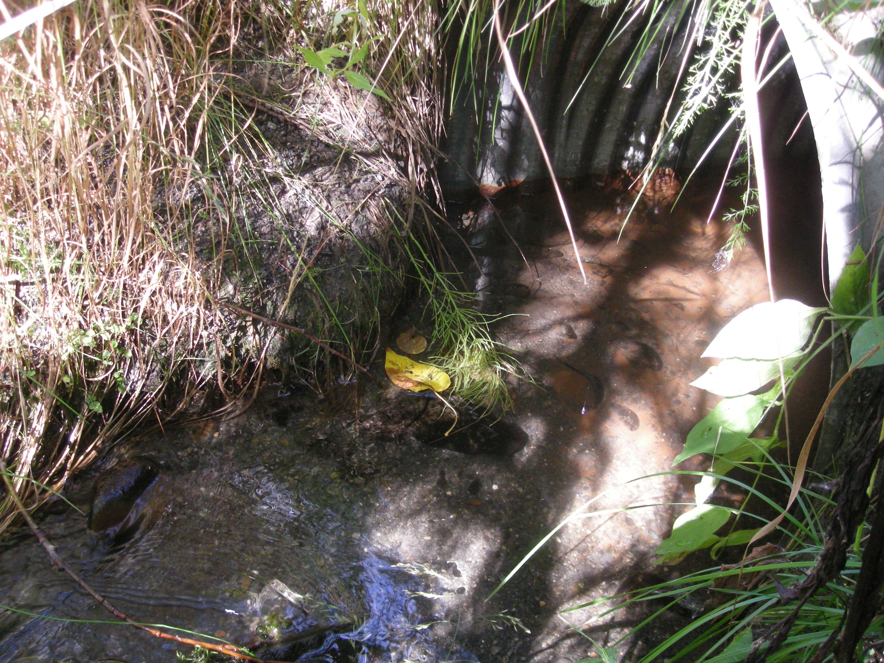
Comments: Culvert assessment and photos submitted by the Kenai Watershed Forum. No fish captured or observed.
Culvert Measurements
| ID: 1 | Structure Type: Circular pipe (Corrugated steel) | Fish Passage Rating: | |||||||||||||||||||||||||||||||||||||||||
|
|
|
|||||||||||||||||||||||||||||||||||||||||
Comments: Culvert height calculated from elevational data. Substrate depth is estimated from measured elevations and circumference of the culvert. Culvert gradient calcualted using top of culvert elevations. |
|||||||||||||||||||||||||||||||||||||||||||
Culvert Observations:
|
|||||||||||||||||||||||||||||||||||||||||||
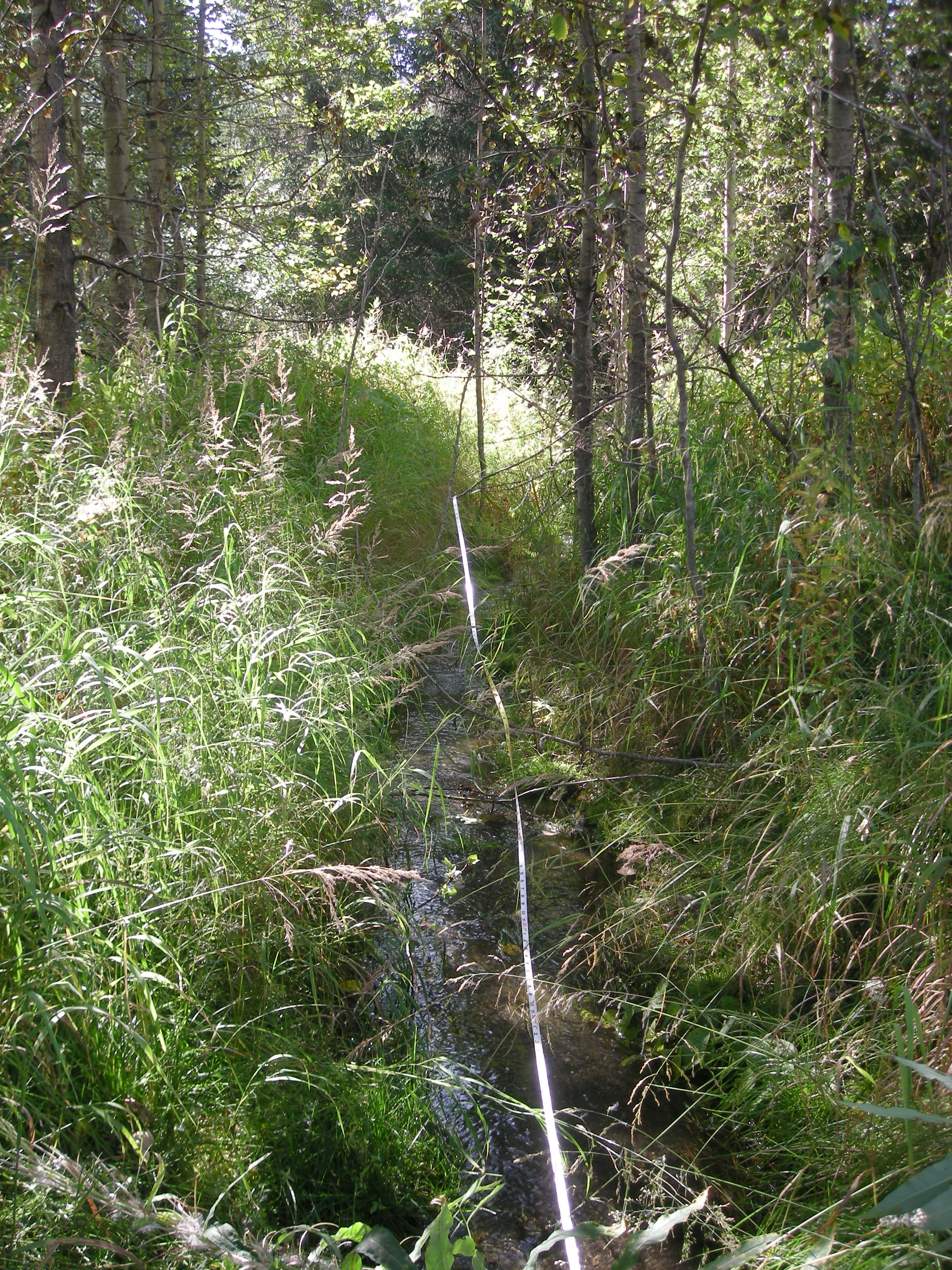
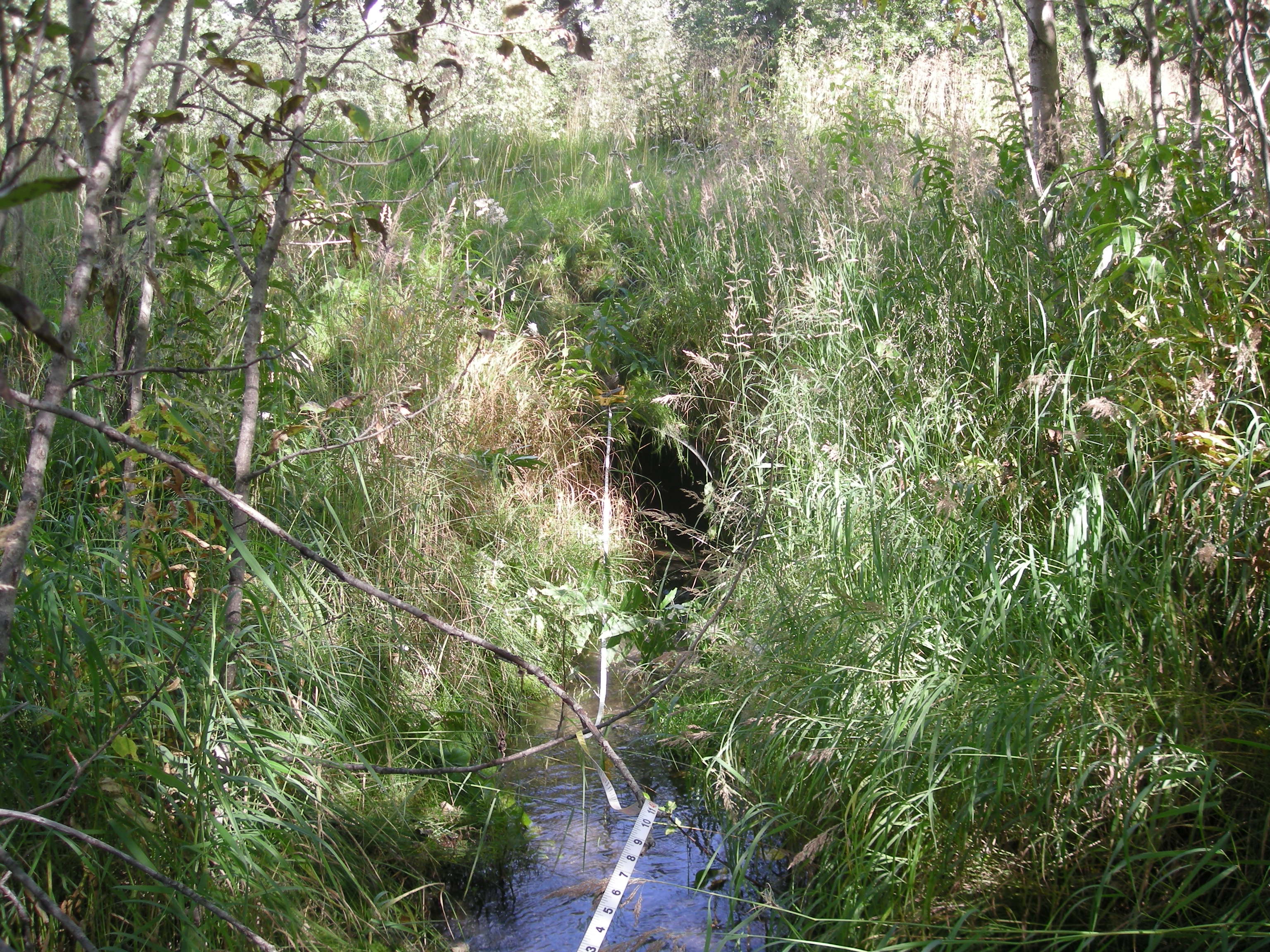
Stream Measurements
|
|
| Stream Width Type | Distance From Crossing (ft) |
Stream Width (ft) |
|---|---|---|
| Downstream ordinary high water | 10.0 | 3.40 |
| Downstream ordinary high water | 21.0 | 2.60 |
| Downstream ordinary high water | 39.0 | 2.50 |
| Upstream ordinary high water | 20.0 | 3.20 |
| Upstream ordinary high water | 35.0 | 5.50 |
| Upstream ordinary high water | 40.0 | 7.00 |
| Upstream ordinary high water | 65.0 | 4.50 |
Elevations
| Locator ID | Culvert Number |
River Distance (ft)1 |
Distance From Crossing (ft)2 |
Relative Elevation (ft) |
|---|---|---|---|---|
| Road Elev | 103.87 | |||
| D/S Grade Ctrl (Thalweg) | 45.00 | 94.80 | ||
| D/S Water Surface Elev | 45.00 | 95.09 | ||
| D/S Water Surface Elev | 51.00 | 95.14 | ||
| D/S Grade Ctrl (Thalweg) | 51.00 | 94.94 | ||
| Outlet Invert (on substrate) | 64.00 | 95.23 | ||
| D/S Water Surface Elev | 64.00 | 95.33 | ||
| Outlet Culvert Top | 64.00 | 97.35 | ||
| Inlet Culvert Top | 178.00 | 97.67 | ||
| U/S Water Surface Elev | 178.00 | 95.47 | ||
| Inlet Culvert Invert | 178.00 | 94.74 | ||
| U/S Grade Ctrl (Thalweg) | 188.00 | 95.79 | ||
| U/S Water Surface Elev | 188.00 | 95.96 | ||
| U/S Thalweg | 198.00 | 96.38 | ||
| U/S Water Surface Elev | 198.00 | 96.57 | ||
| U/S Water Surface Elev | 218.00 | 96.73 | ||
| U/S Thalweg (max pool depth) | 218.00 | 95.25 | ||
| U/S Water Surface Elev | 222.00 | 96.74 | ||
| U/S Grade Ctrl (Thalweg) | 222.00 | 96.23 | ||
| U/S Water Surface Elev | 227.00 | 96.72 | ||
| U/S Thalweg (max pool depth) | 227.00 | 94.57 |
Notes:
- River distance is measured continuously throughout the survey reach along the thalweg of the stream.
- Measured from each end of the crossing along the thalweg of the stream.
Fish Sampling Efforts
| Gear Type: Minnow Trap (A) | Trap Duration(h): 1.25 | |
| Comments: Trap set about 45 feet upstream. | ||
| Gear Type: Minnow Trap (B) | Trap Duration(h): 2.1666667 | |
| Comments: Trap set about 100 feet downstream | ||
Fish Observations
No fish observations occurred during this survey.
Photos
Questions or comments about this report can be directed to dfg.dsf.webmaster@alaska.gov