Fish Passage Site 20303806
Coordinates (dec. deg.): 60.52429°, -149.64432°
Legal Description: S005N002W16
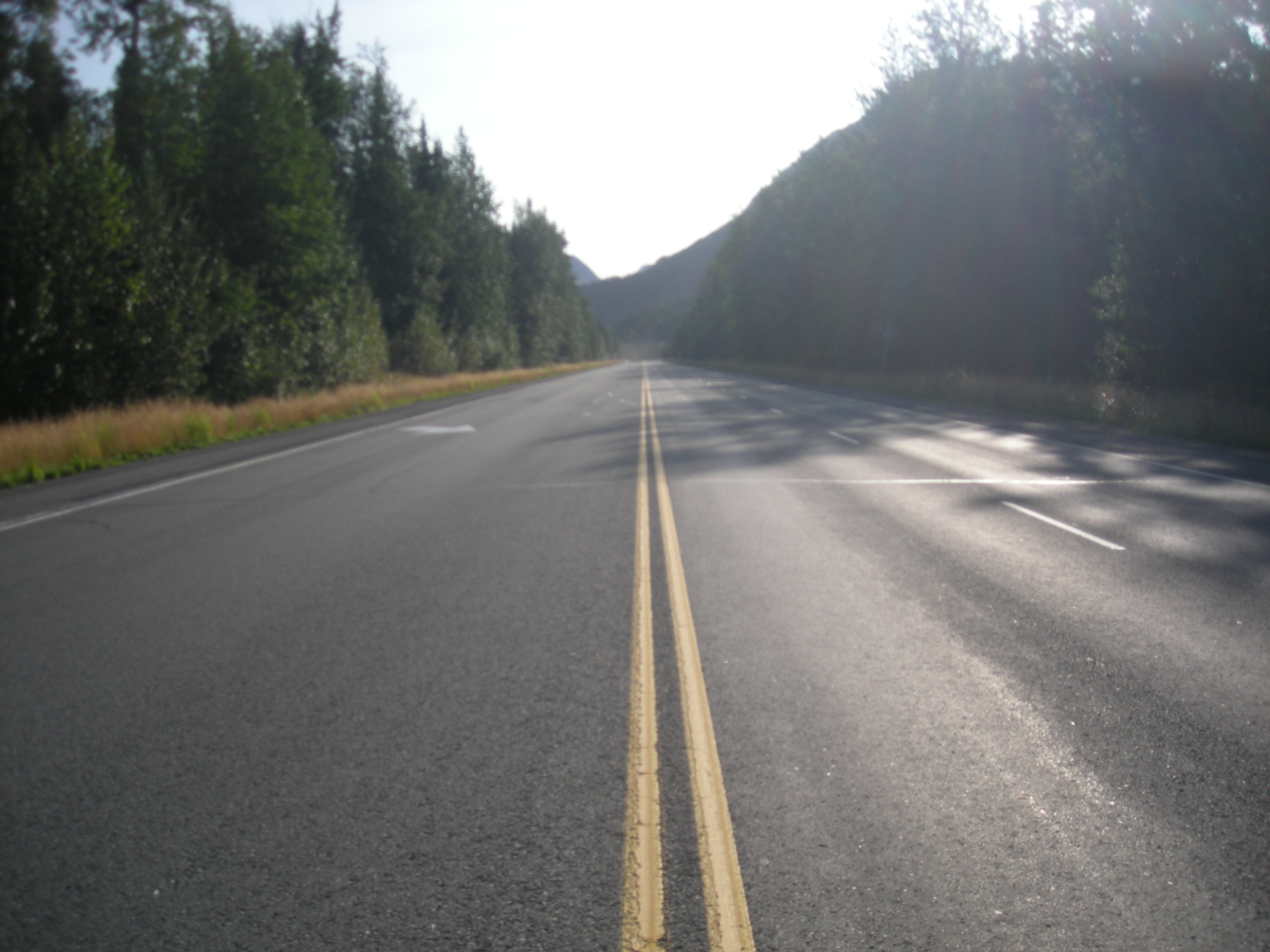
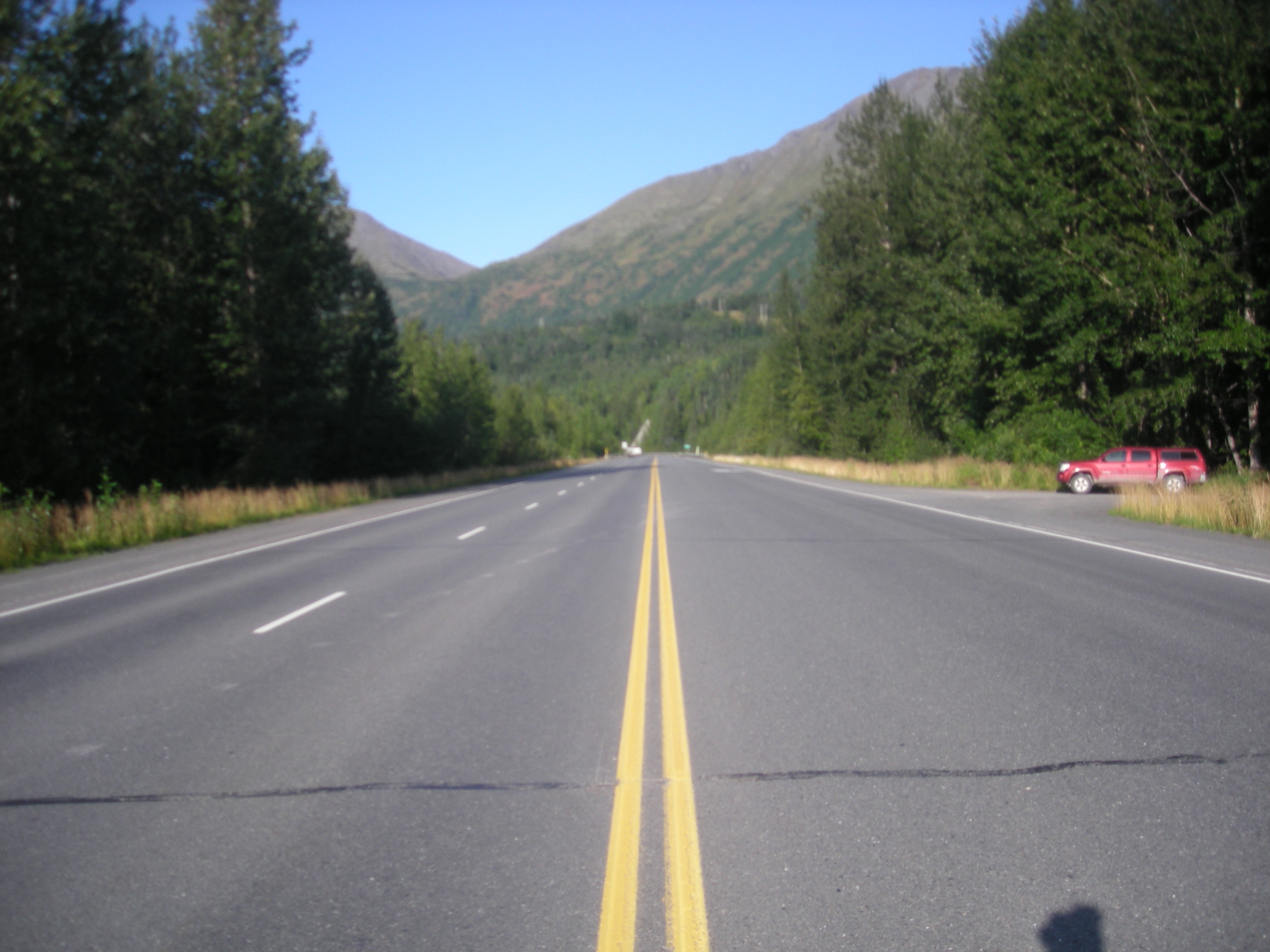
Region: South Central
Road Name: Sterling Highway
Datum: NAD83
Quad Name / ITM: Seward C-8
AWC Stream #: 244-30-10010-2177-3022
Stream Name: Unnamed
Elevation:
Site Comments: None
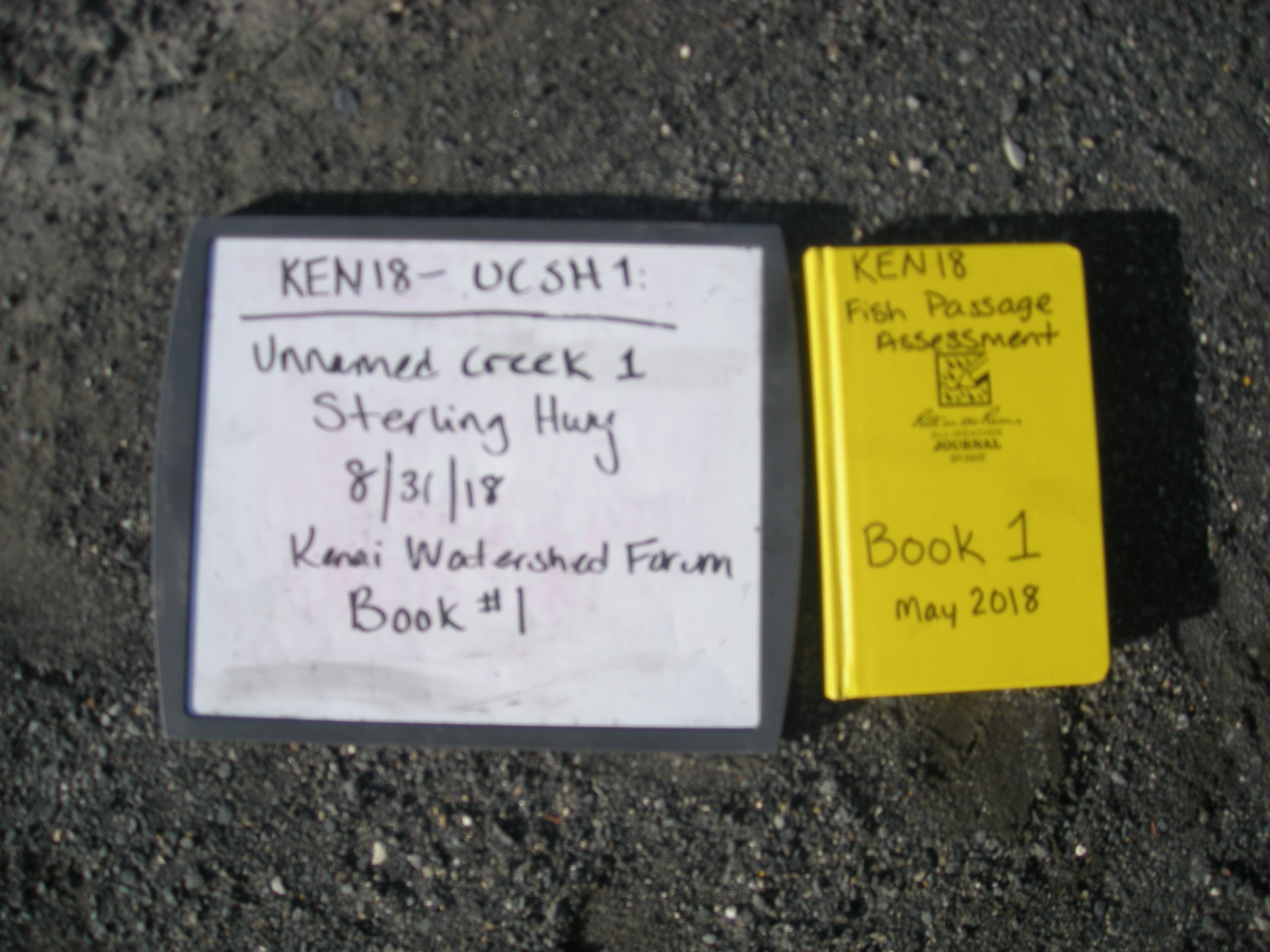
Survey KEN18-UCSH1
Observers: Maggie Harings, Alice Main
Overall Fish Passage Rating:
Tidal: No
Backwatered: No
Step Pools: No
Construction Year:
Site Observations:
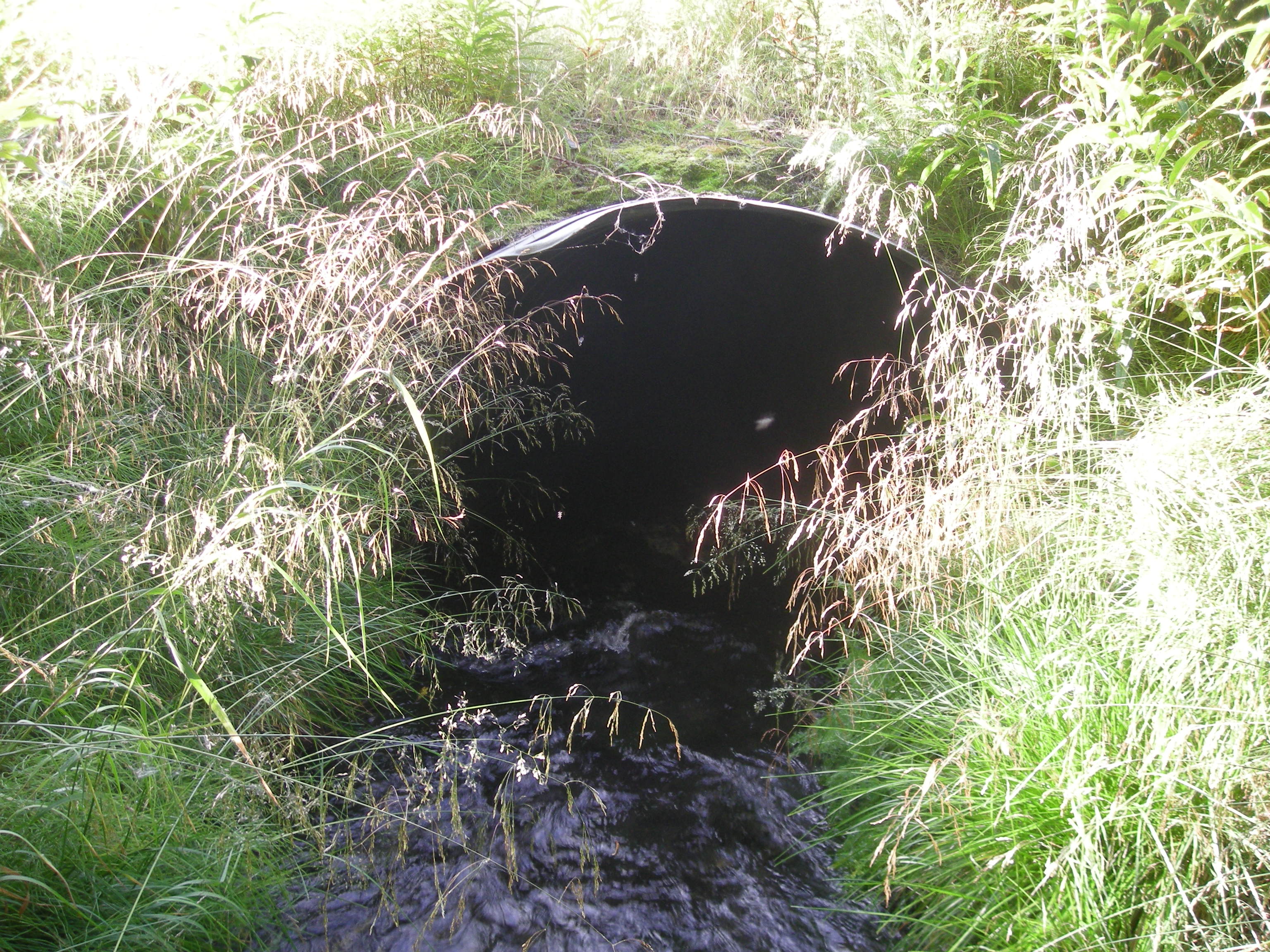
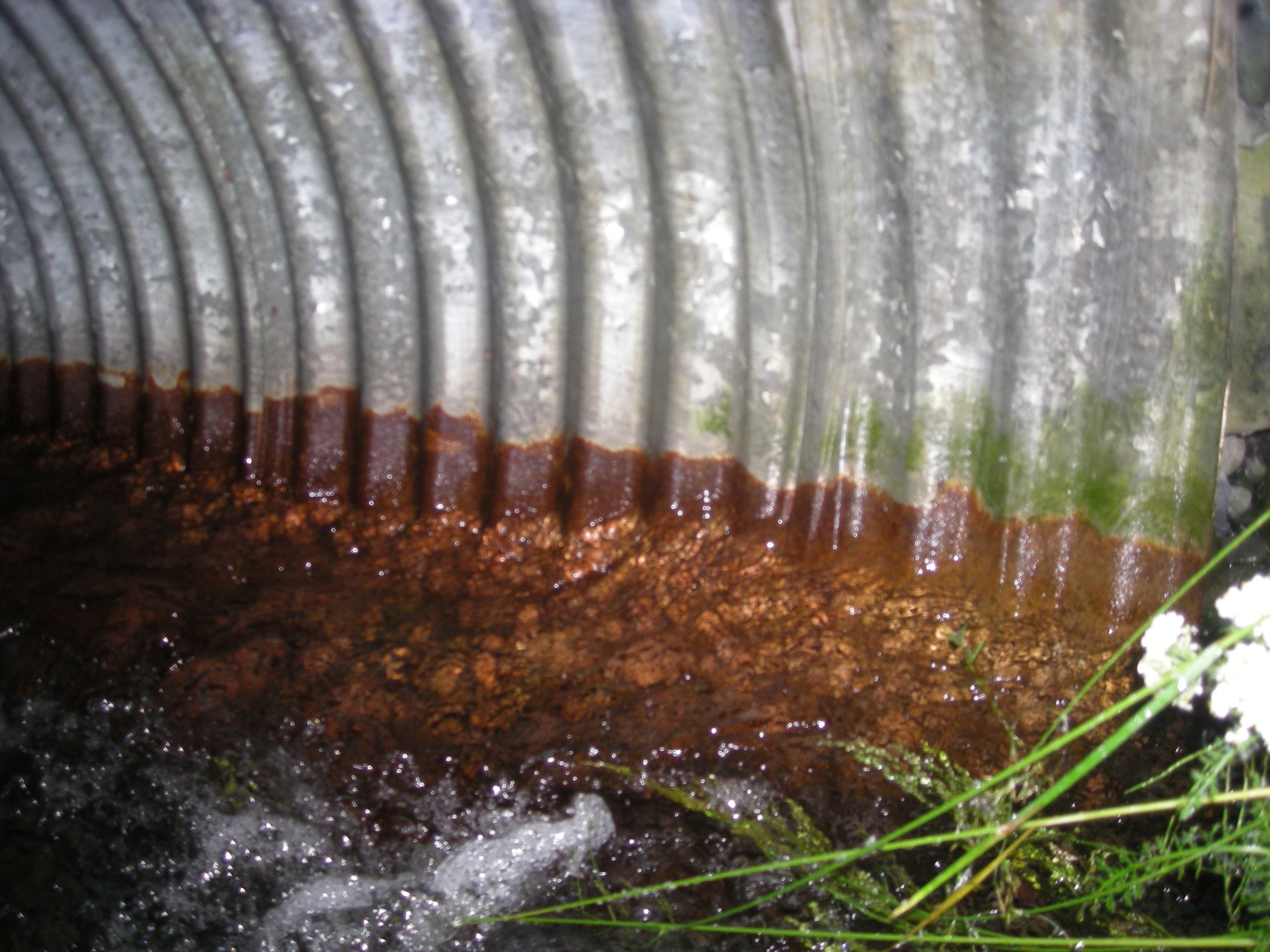
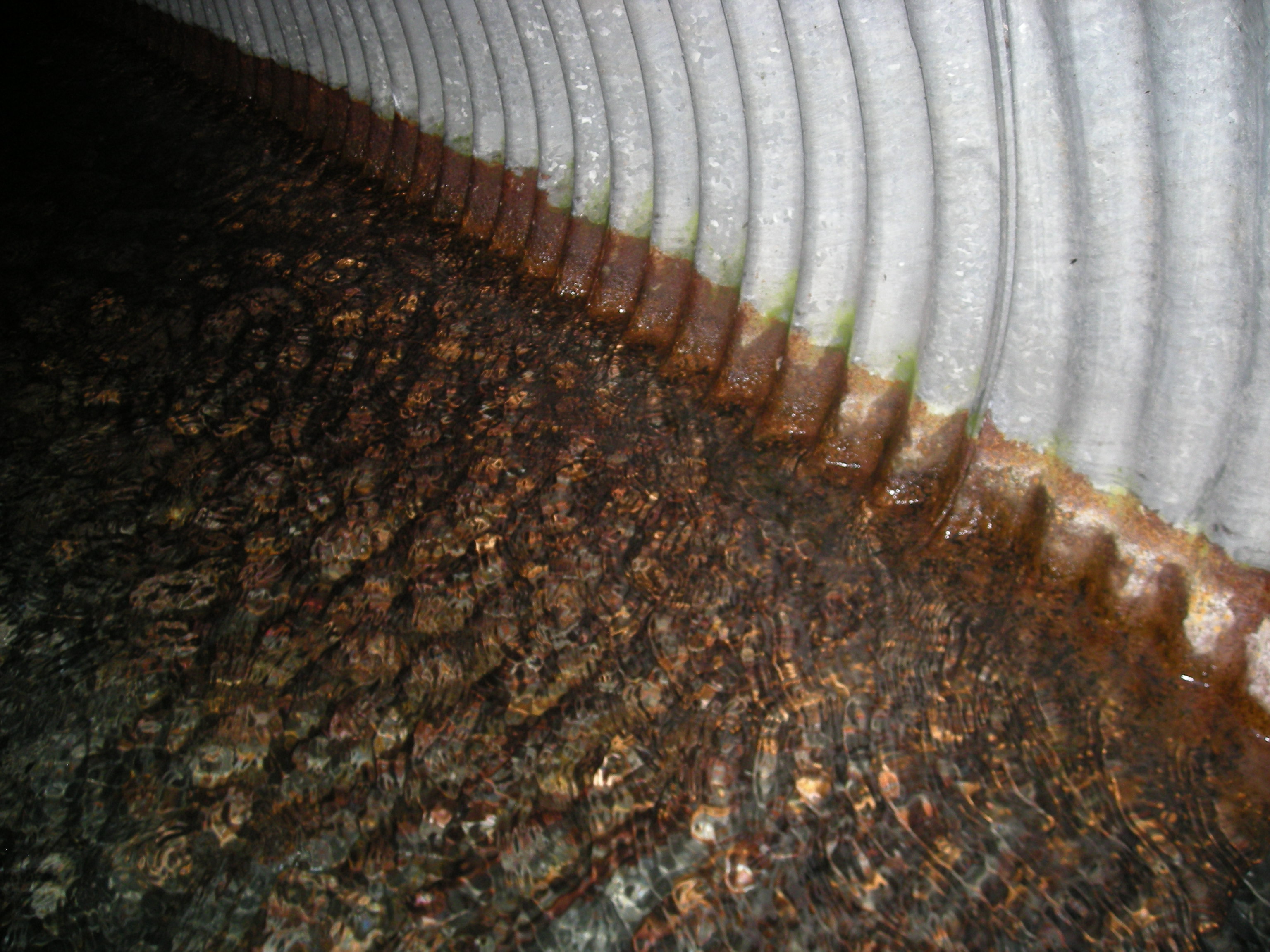
- Culvert sagging in middle
- Culvert gradient gray
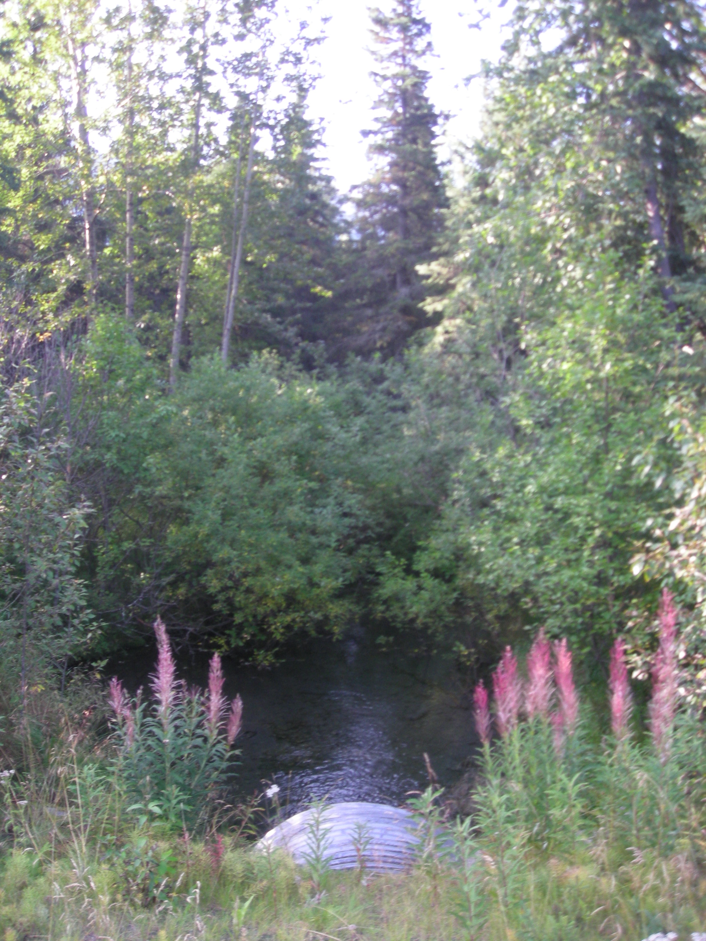
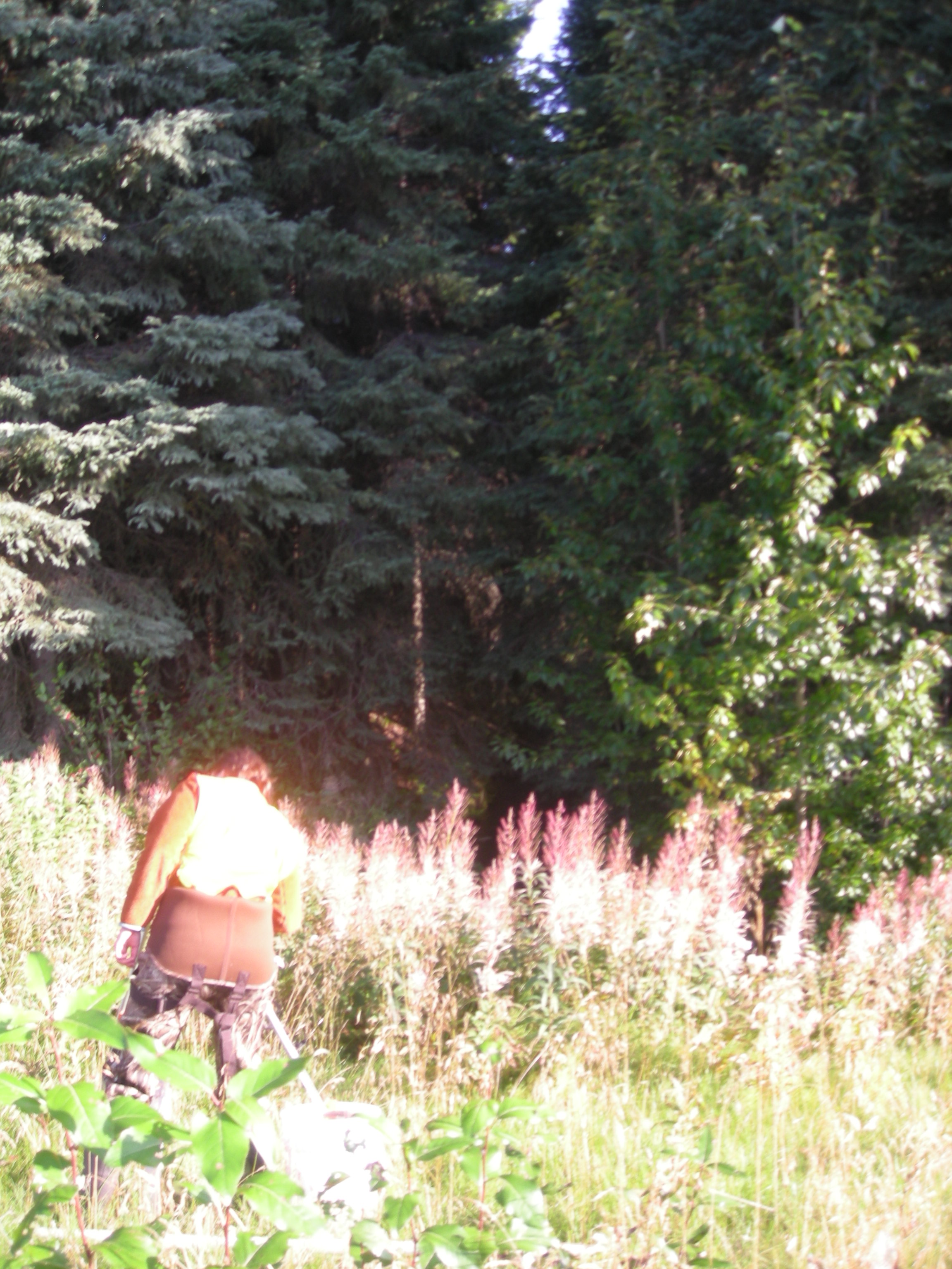
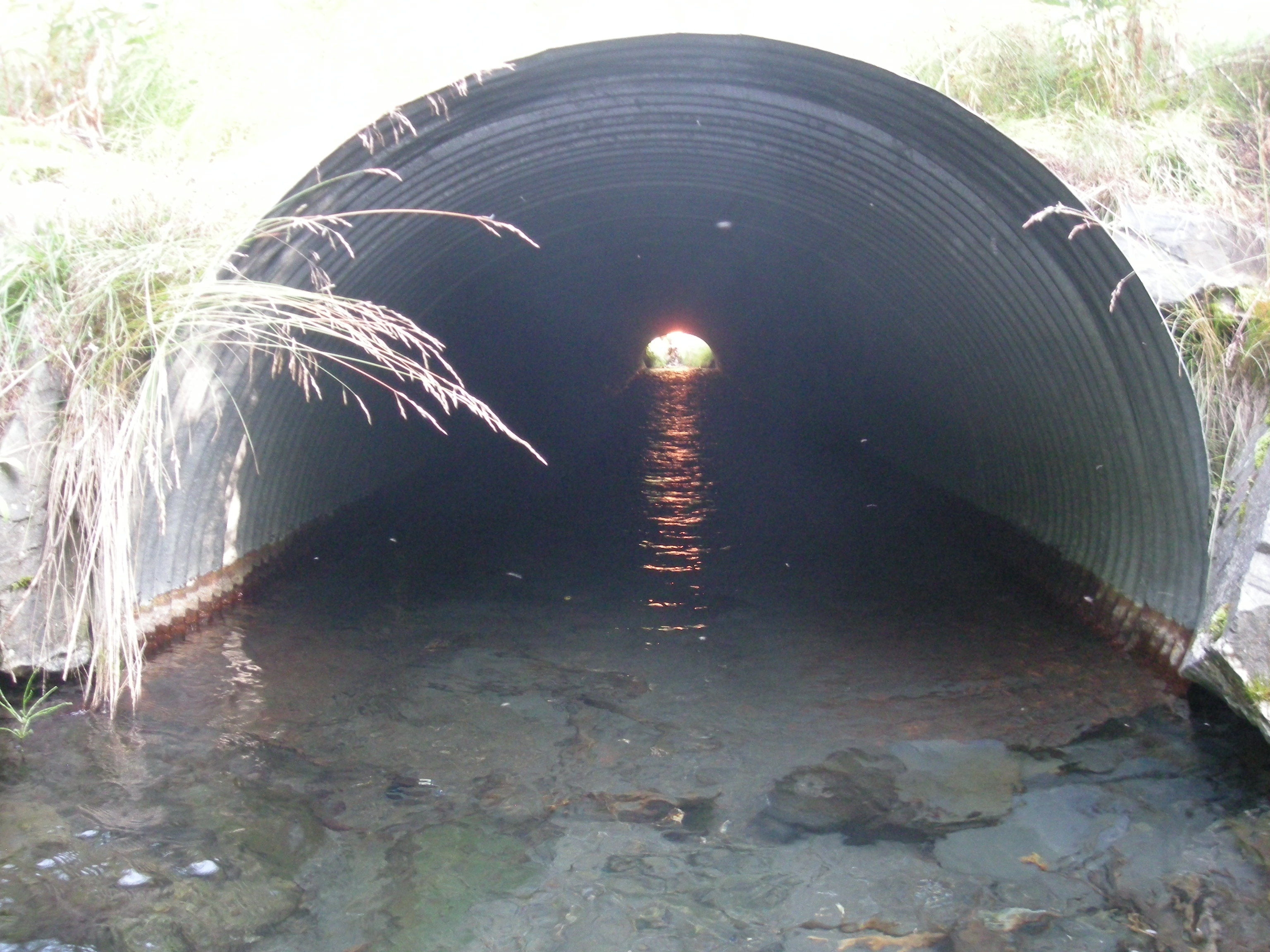
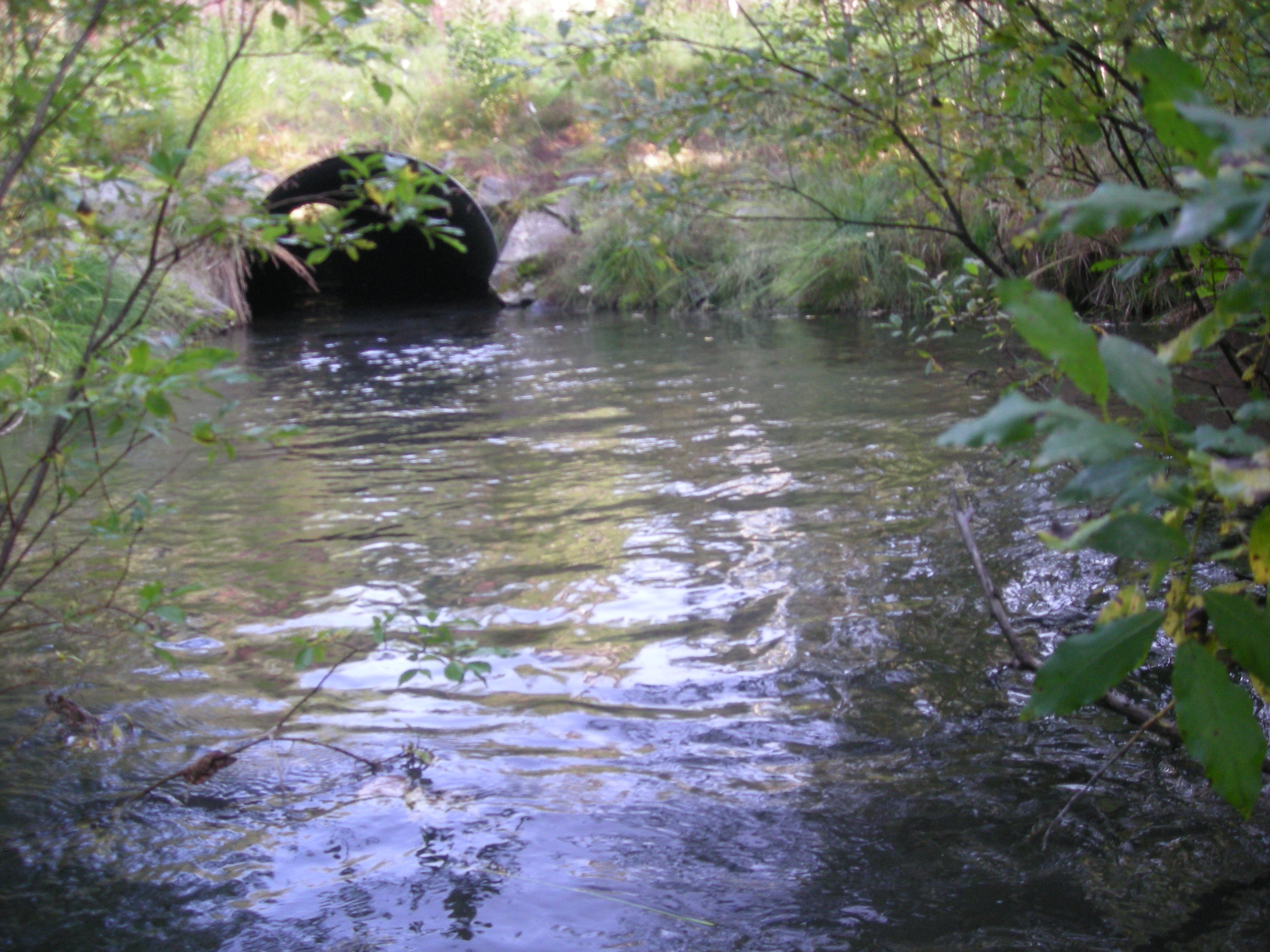
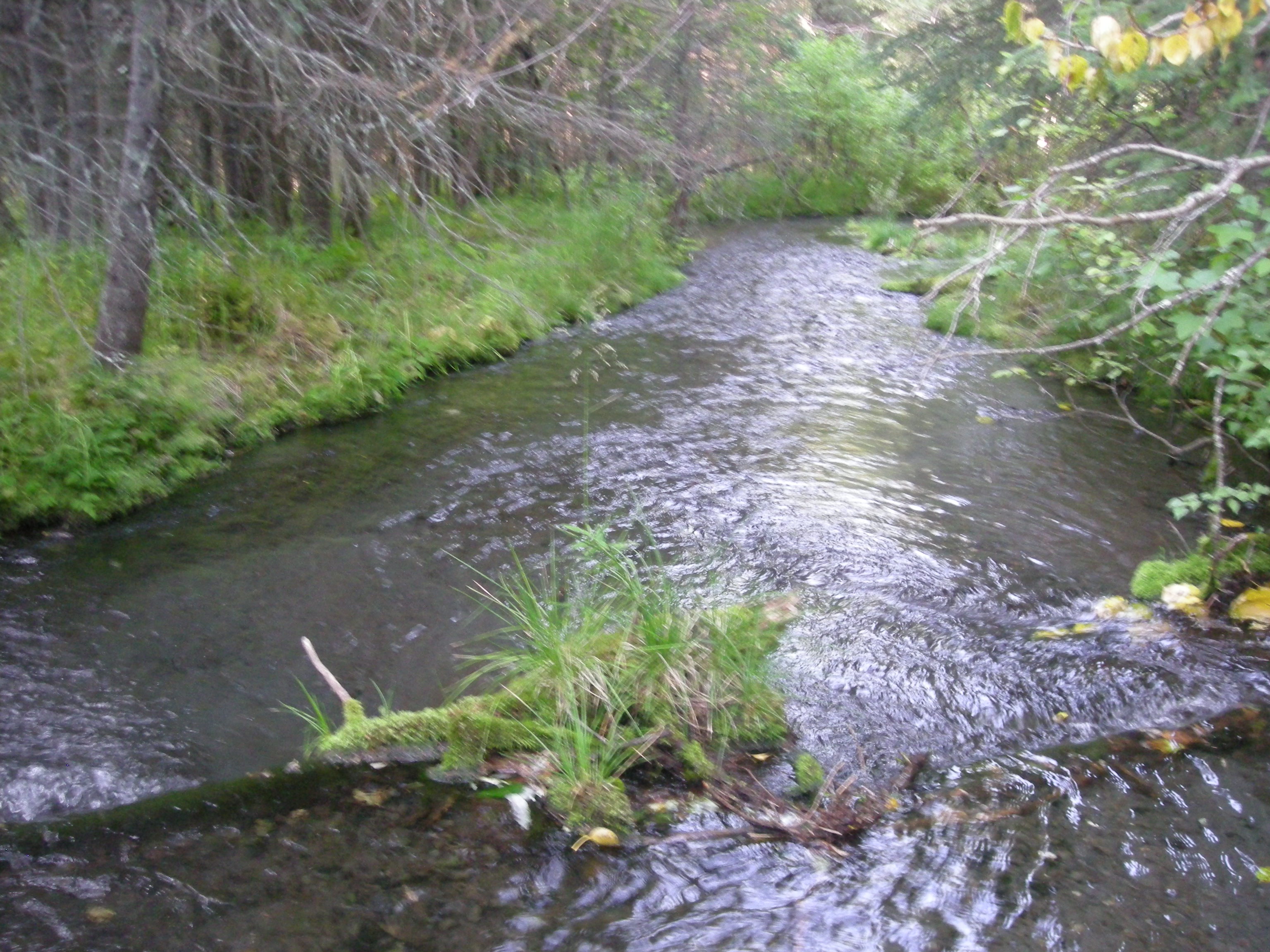
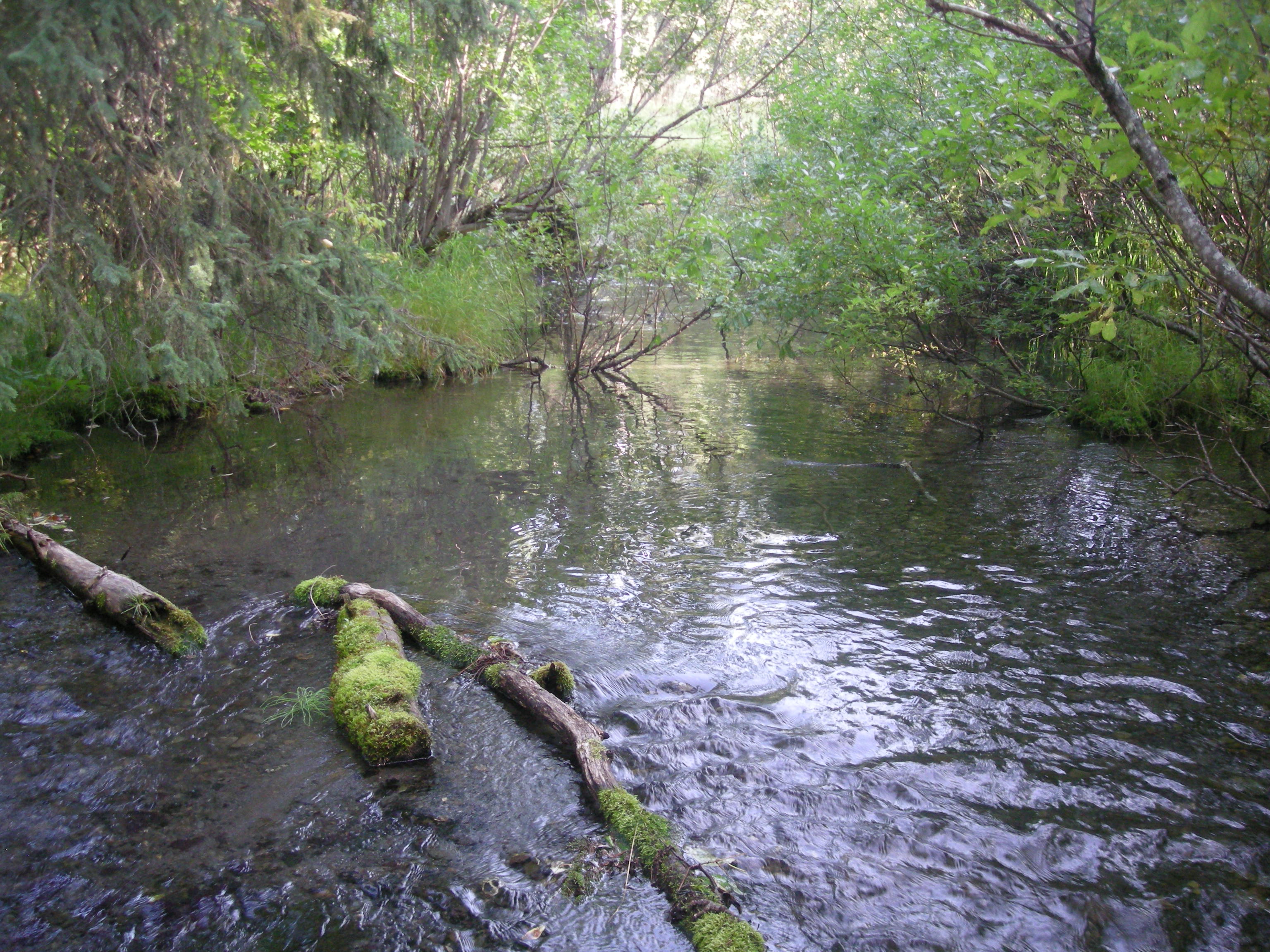
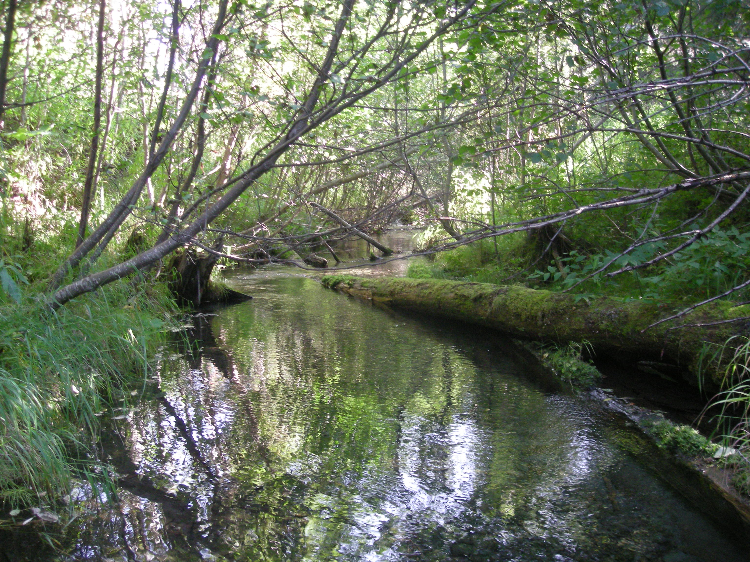
Comments: Culvert Assessment and photos submitted by Kenai Watershed Forum.
Culvert Measurements
| ID: 1 | Structure Type: Pipe-arch (Corrugated steel) | Fish Passage Rating: | |||||||||||||||||||||||||||||||||||||||||
|
|
|
|||||||||||||||||||||||||||||||||||||||||
Culvert Observations:
|
|||||||||||||||||||||||||||||||||||||||||||
Stream Measurements
|
|
| Stream Width Type | Distance From Crossing (ft) |
Stream Width (ft) |
|---|---|---|
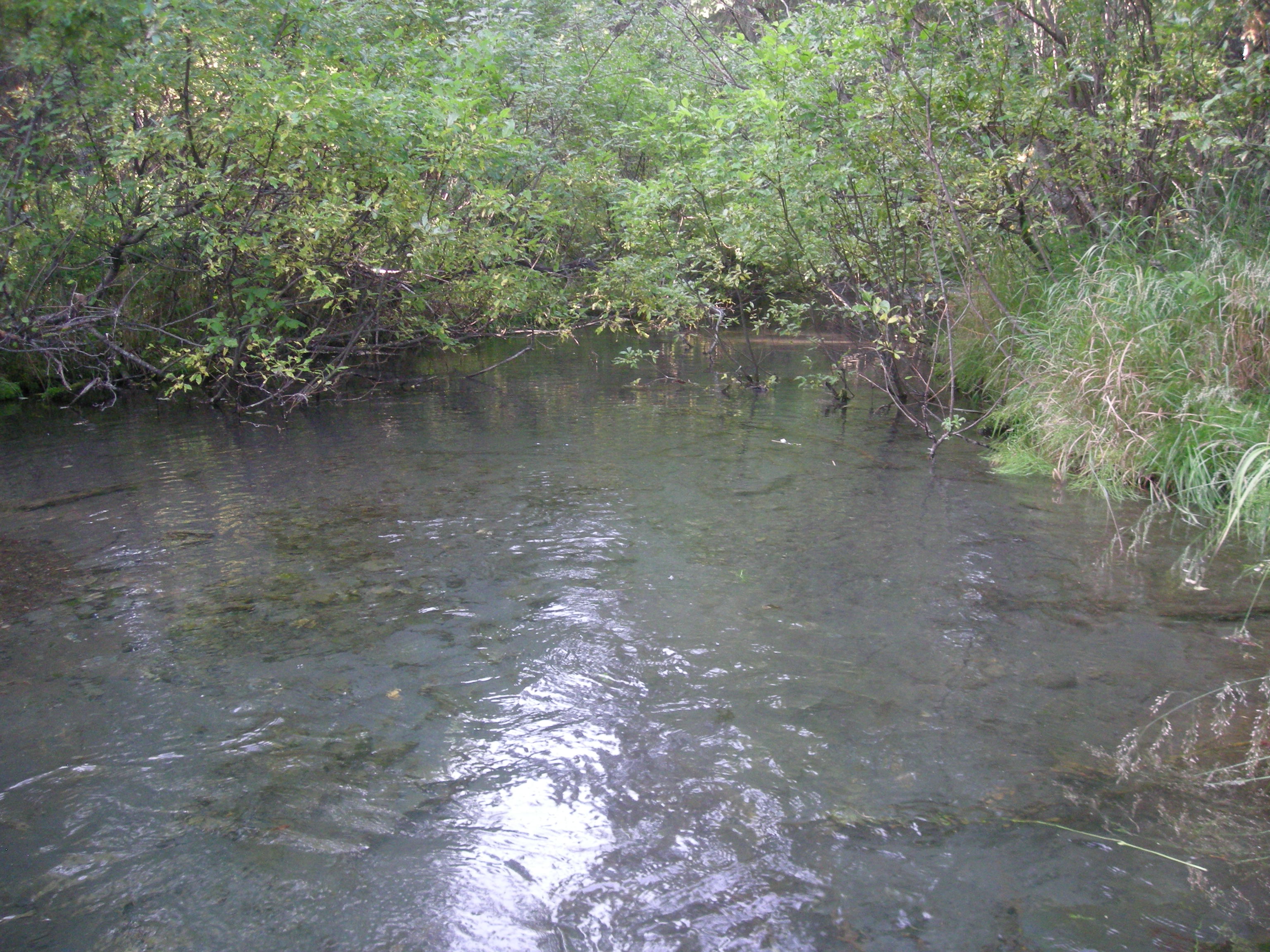
| Upstream ordinary high water | 15.0 | 6.90 |
| Upstream ordinary high water | 30.0 | 7.10 |
| Upstream ordinary high water | 49.0 | 7.00 |
| Upstream ordinary high water | 78.0 | 6.40 |
Elevations
| Locator ID | Culvert Number |
River Distance (ft)1 |
Distance From Crossing (ft)2 |
Relative Elevation (ft) |
|---|---|---|---|---|
| Road Elev | 101.39 | |||
| D/S Grade Ctrl (Thalweg) | 0.00 | 90.39 | ||
| D/S Water Surface Elev | 0.00 | 90.98 | ||
| D/S Grade Ctrl (Thalweg) | 24.00 | 91.10 | ||
| D/S Water Surface Elev | 24.00 | 91.37 | ||
| D/S Tailcrest or 1st Thalweg | 48.00 | 90.42 | ||
| D/S Water Surface Elev | 48.00 | 91.39 | ||
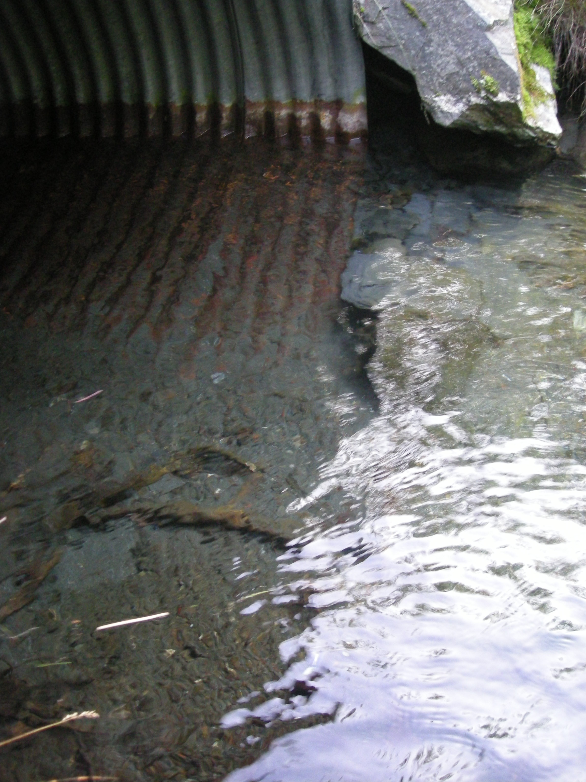
| Outlet Pool Water Elev | 69.00 | 91.38 | ||
| Max Pool Depth | 69.00 | 89.35 | ||
| Outlet Invert | 79.00 | 89.76 | ||
| D/S Water Surface Elev | 79.00 | 91.38 | ||
| Outlet Culvert Top | 79.00 | 95.12 | ||
| Inlet Culvert Top | 193.00 | 96.67 | ||
| Inlet Culvert Invert (on substrate) | 193.00 | 91.33 | ||
| U/S Water Surface Elev | 193.00 | 92.07 | ||
| U/S Grade Ctrl (Thalweg) | 221.00 | 92.11 | ||
| U/S Water Surface Elev | 221.00 | 92.80 | ||
| U/S Thalweg | 268.00 | 92.63 | ||
| U/S Water Surface Elev | 268.00 | 93.37 | ||
| U/S Water Surface Elev | 293.00 | 93.63 | ||
| U/S Thalweg | 293.00 | 93.02 | ||
| U/S Water Surface Elev | 323.00 | 93.89 | ||
| U/S Grade Ctrl (Thalweg) | 323.00 | 93.40 | ||
| U/S Water Surface Elev | 333.00 | 94.43 | ||
| U/S Thalweg (Max pool depth) | 333.00 | 92.89 |
Notes:
- River distance is measured continuously throughout the survey reach along the thalweg of the stream.
- Measured from each end of the crossing along the thalweg of the stream.
Fish Sampling Efforts
| Gear Type: Minnow Trap (A) | Trap Duration(h): 2.1 | |
| Comments: Trap set about 40 feet upstream. | ||
| Gear Type: Minnow Trap (B) | Trap Duration(h): 1.9166666 | |
| Comments: Trap set about 45 feet downstream. | ||
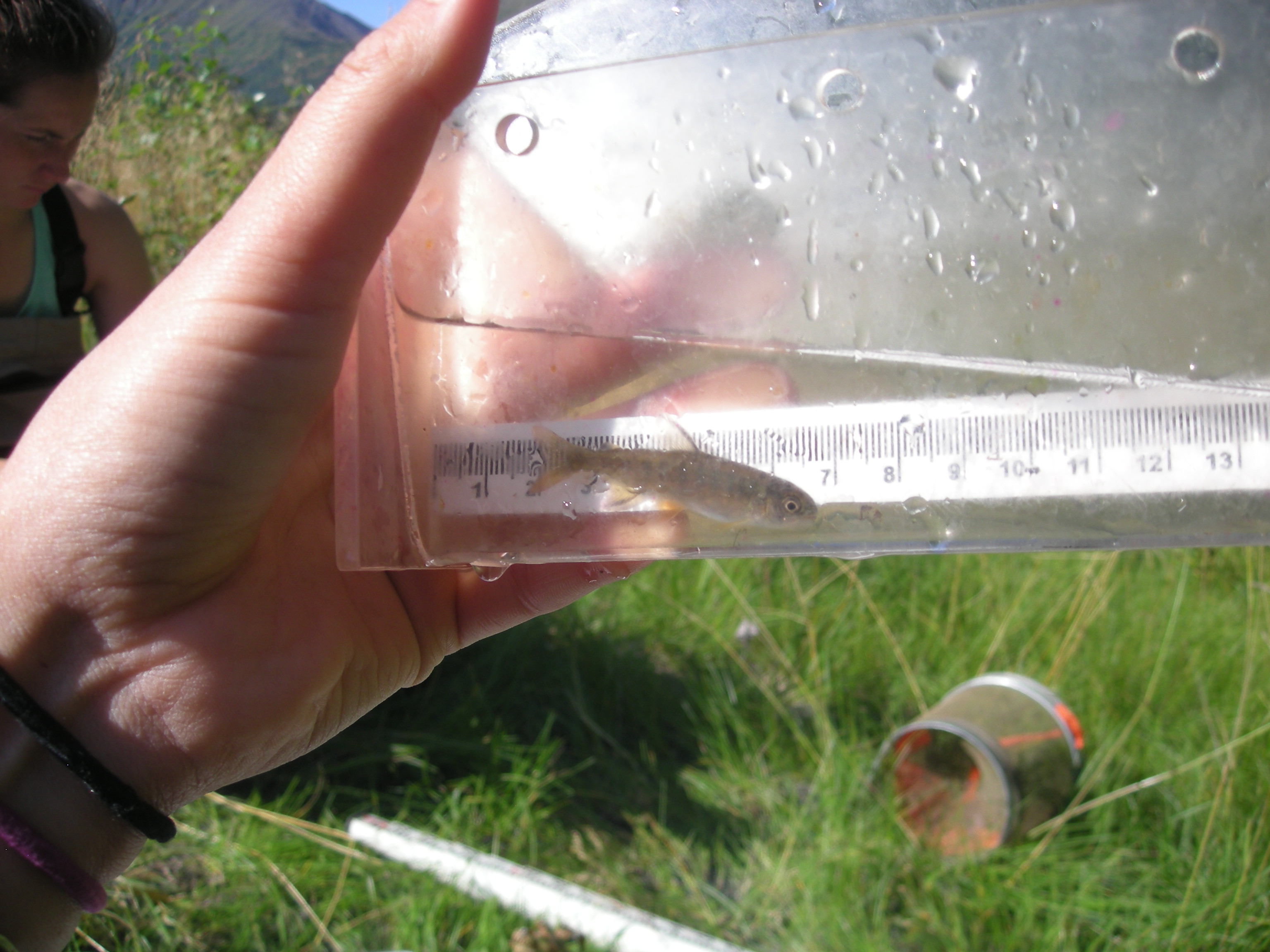
Fish Observations
| Species: juvenile coho salmon | Life History: Anadromous | ||
| Total Fish Observed: 3 | Fish Measured: 3 | Fork Lengths (mm) Min: 46 Max: 52 Mean: 48 | |
| Collected/Observed by Gear Type: Downstream Minnow Trap (3) | |||
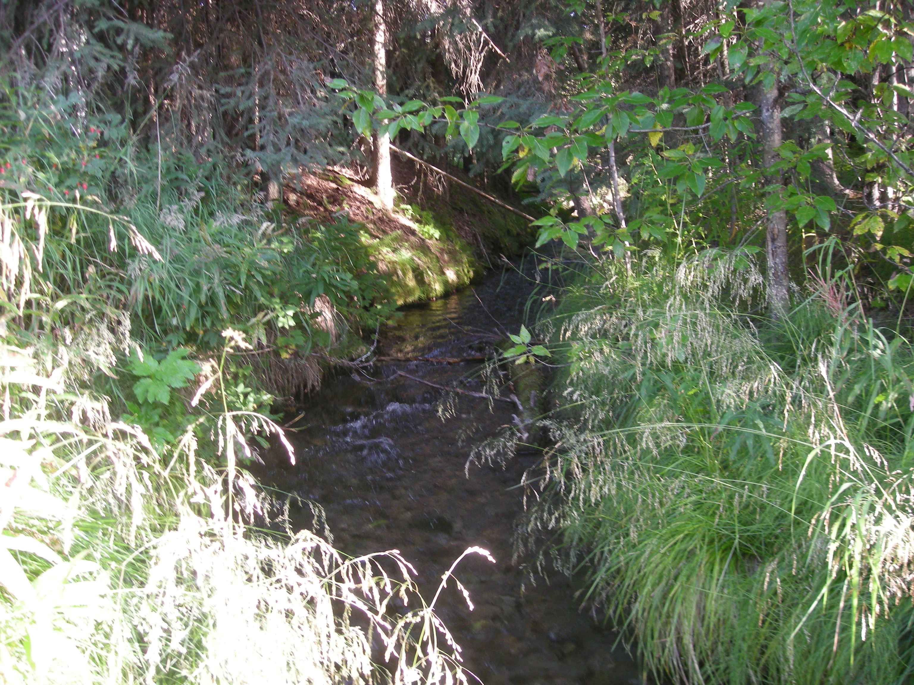
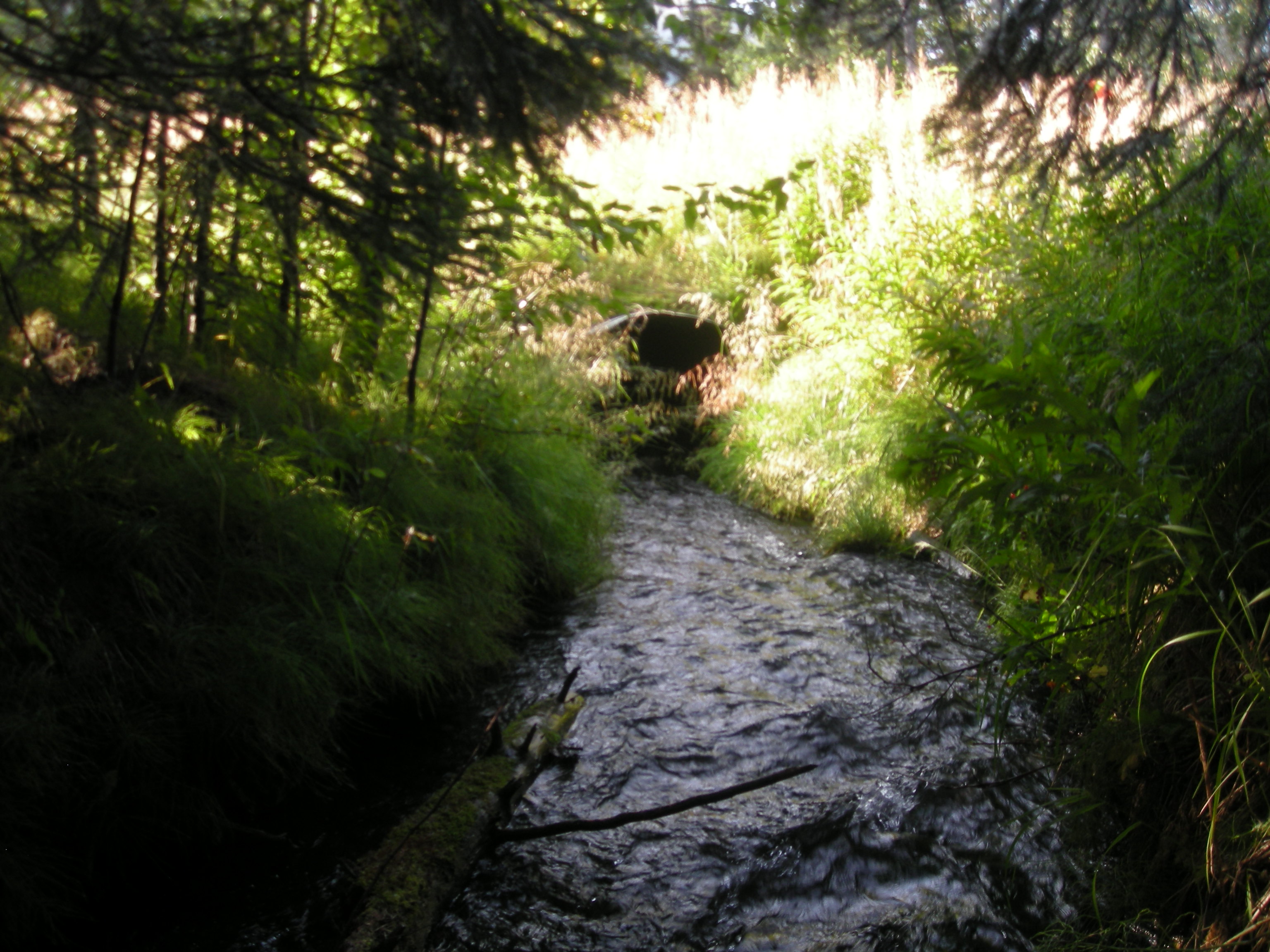
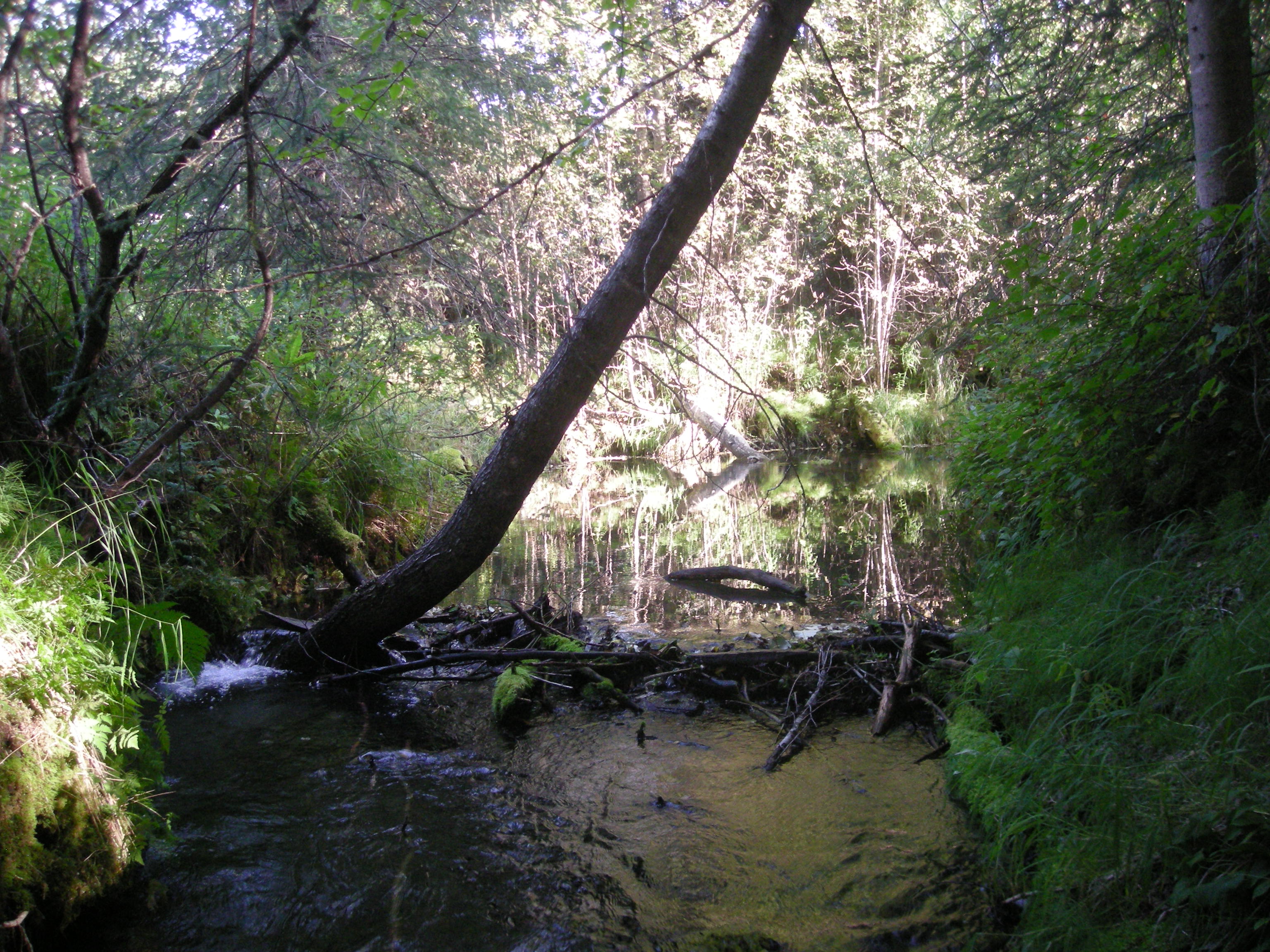
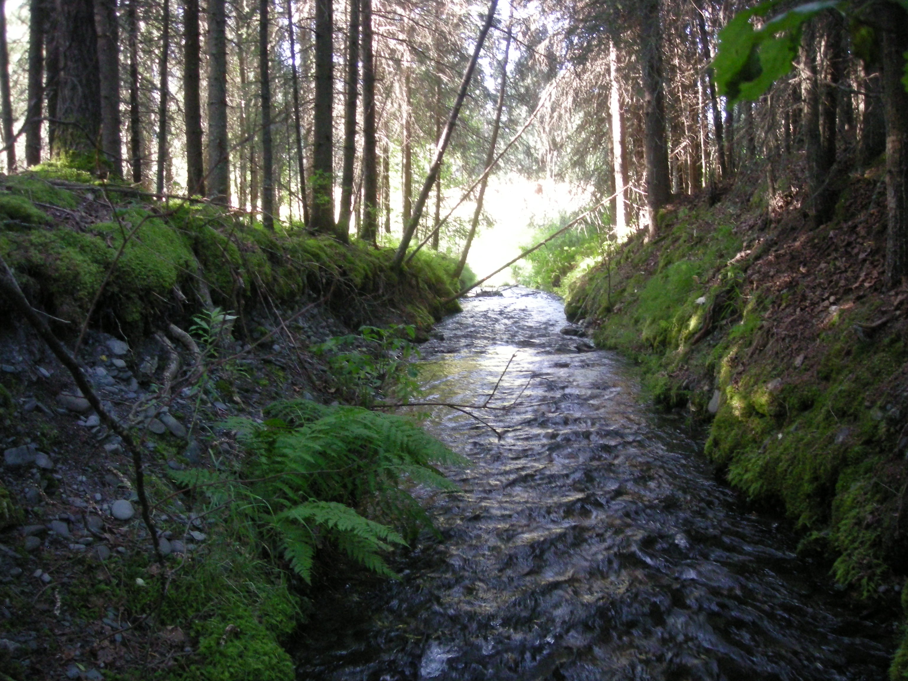
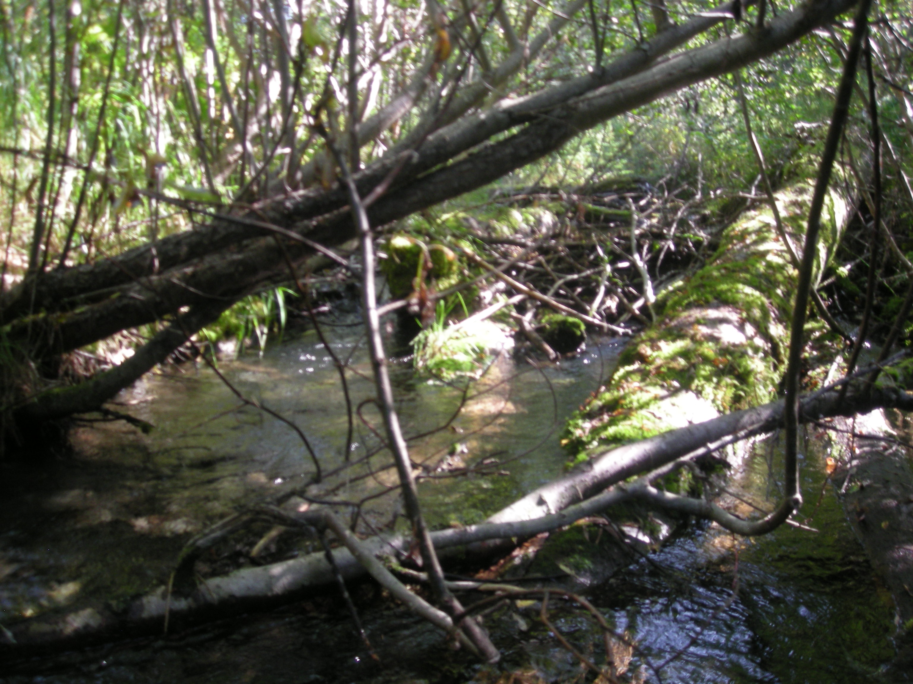
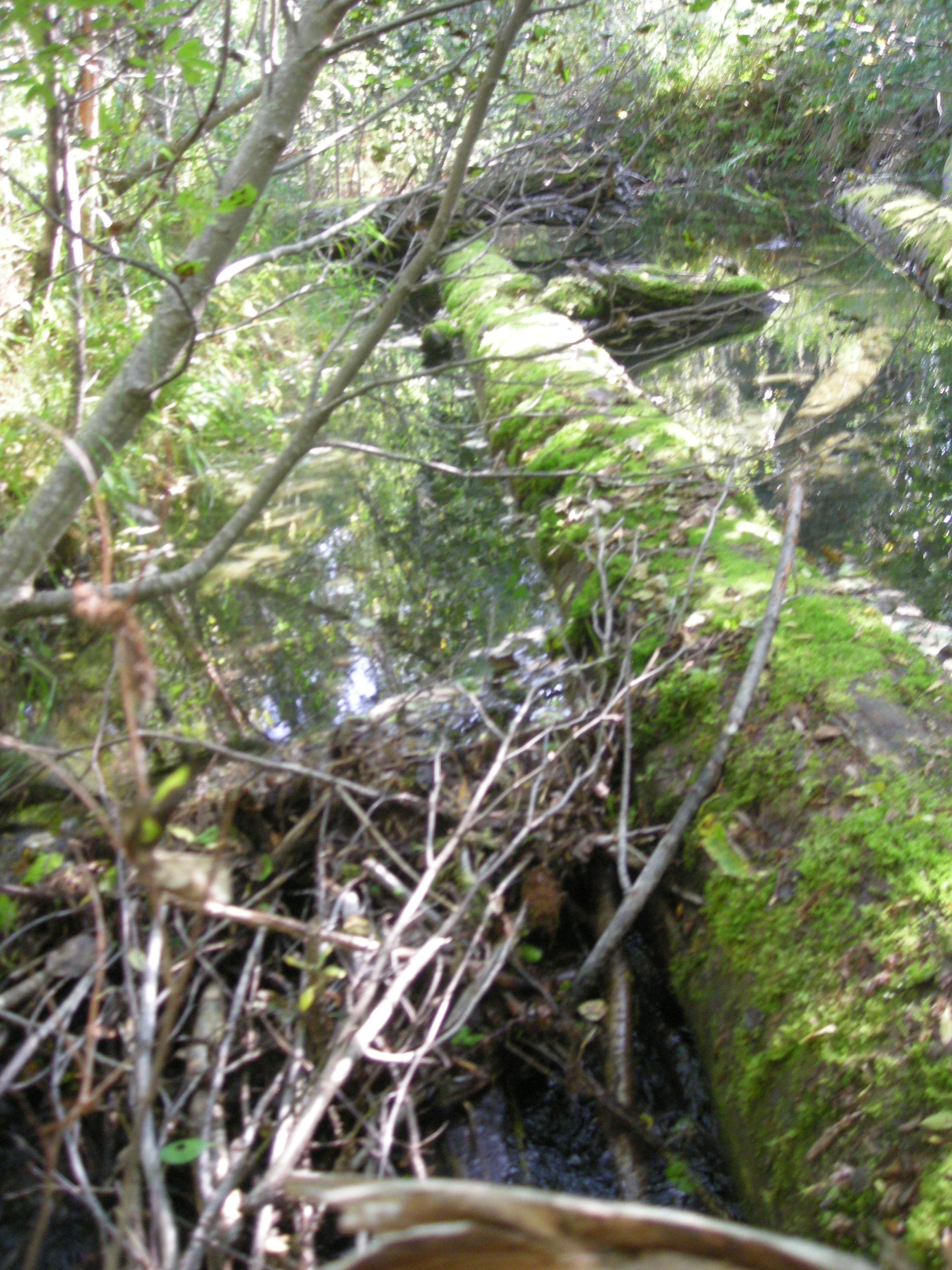
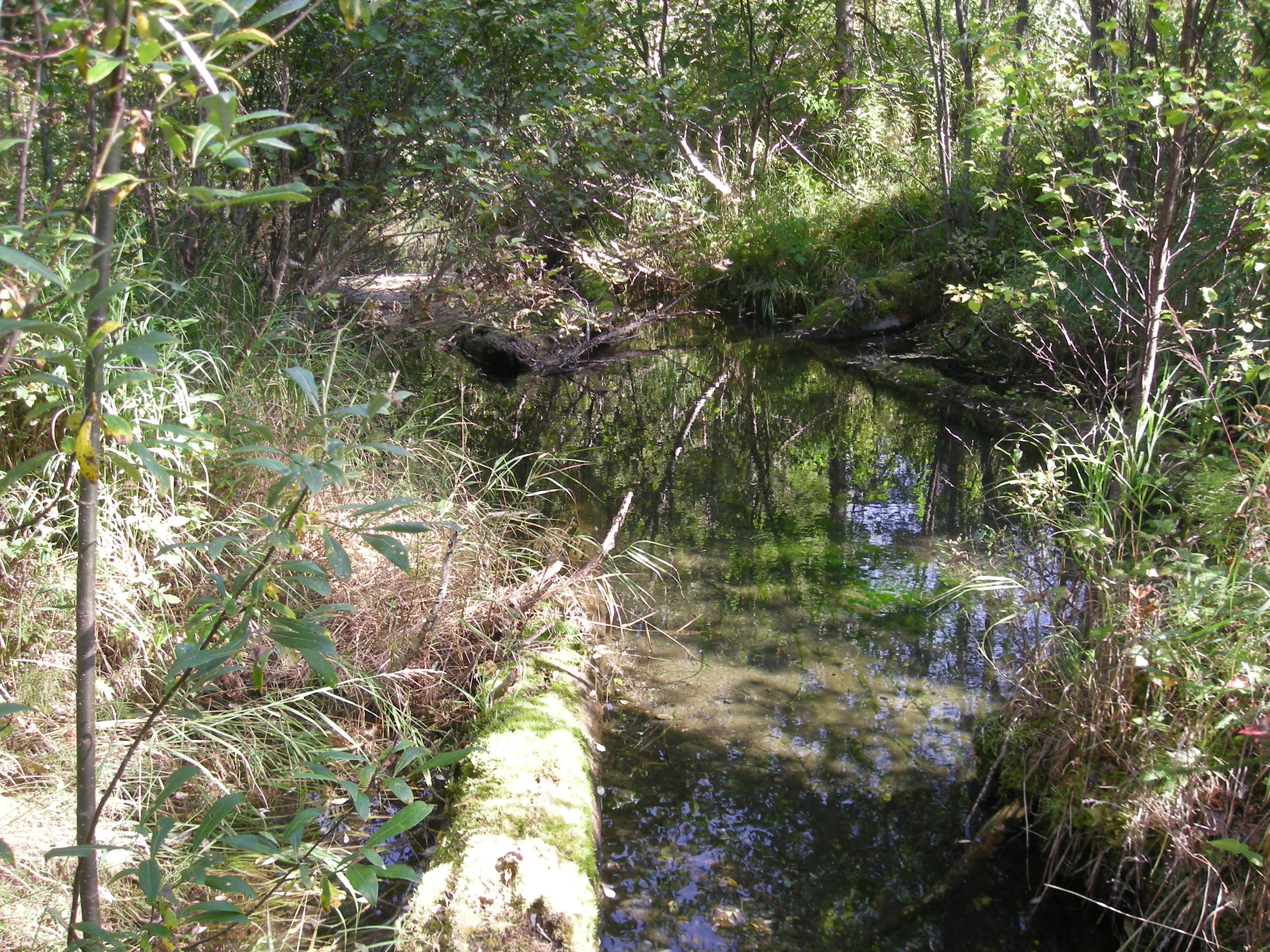
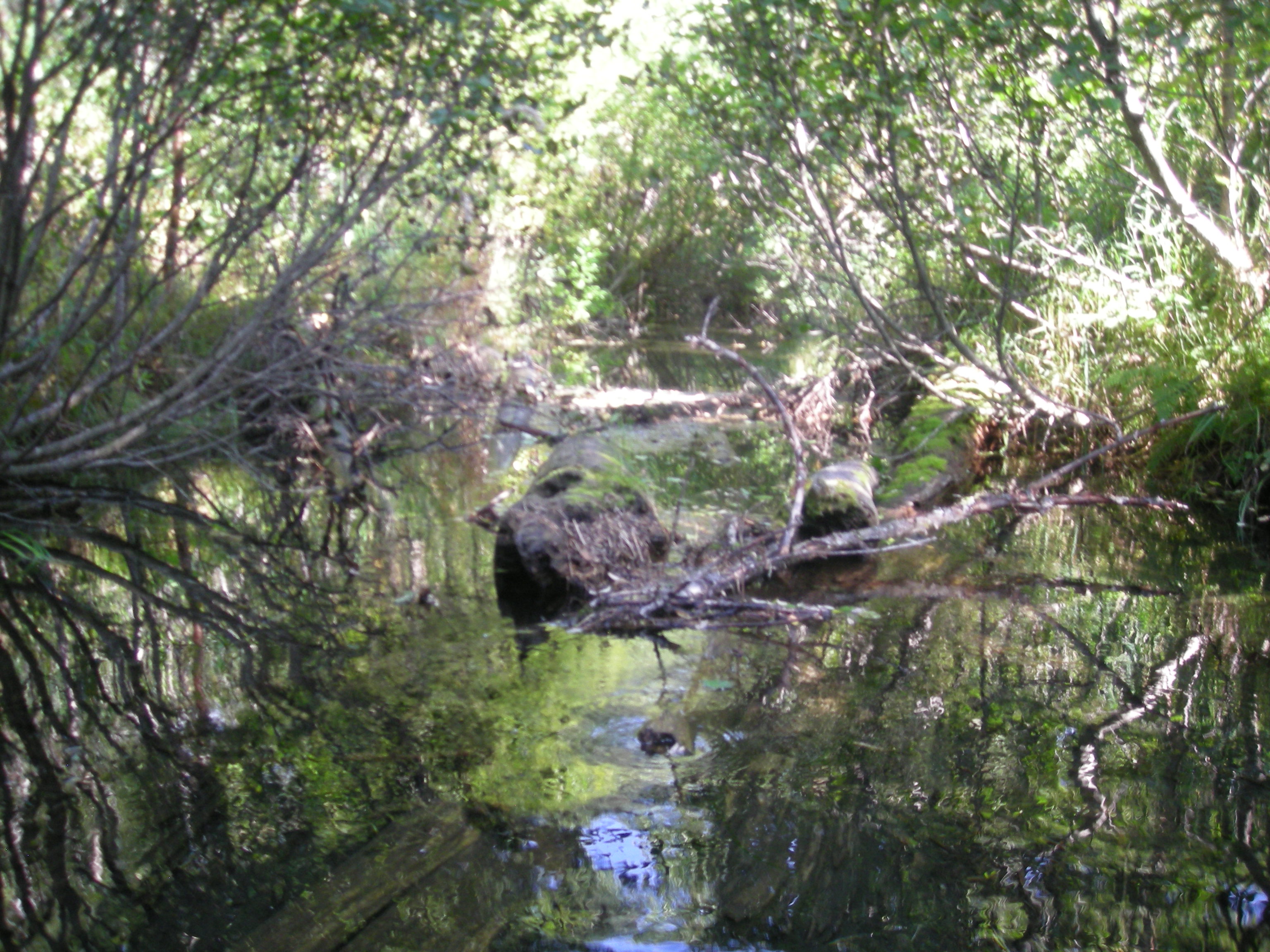
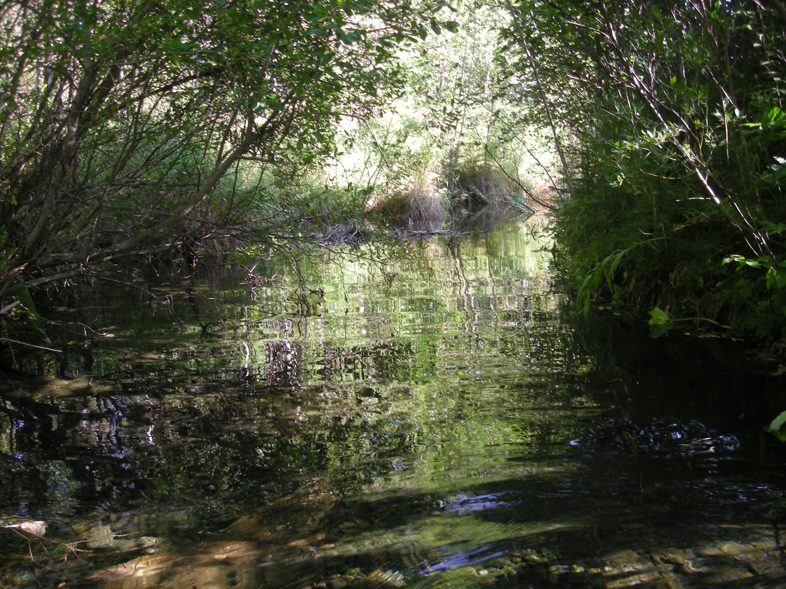
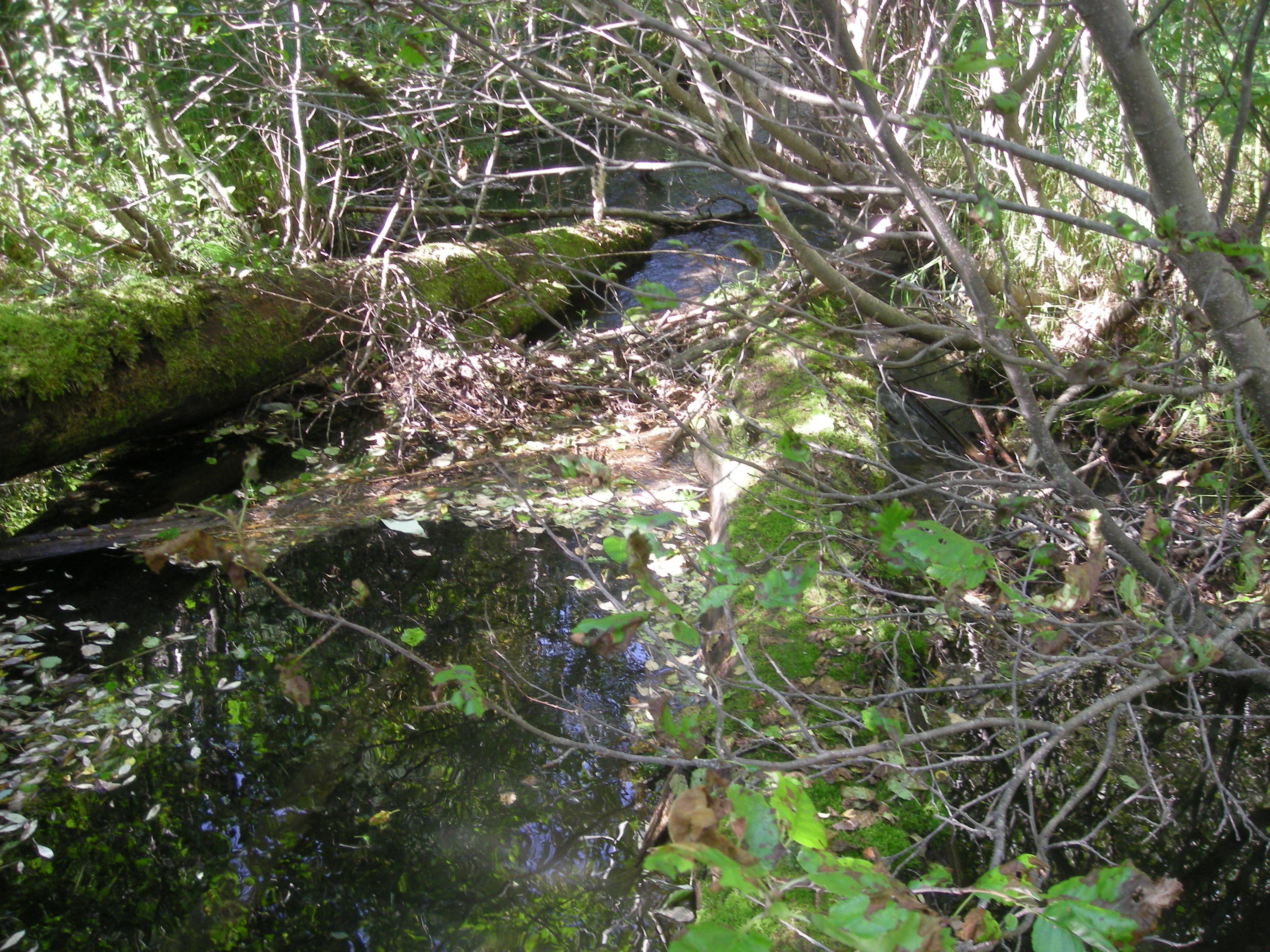
Photos
Questions or comments about this report can be directed to dfg.dsf.webmaster@alaska.gov