Fish Passage Site 20303805
Coordinates (dec. deg.): 60.49538°, -151.01906°
Legal Description: S005N010W27
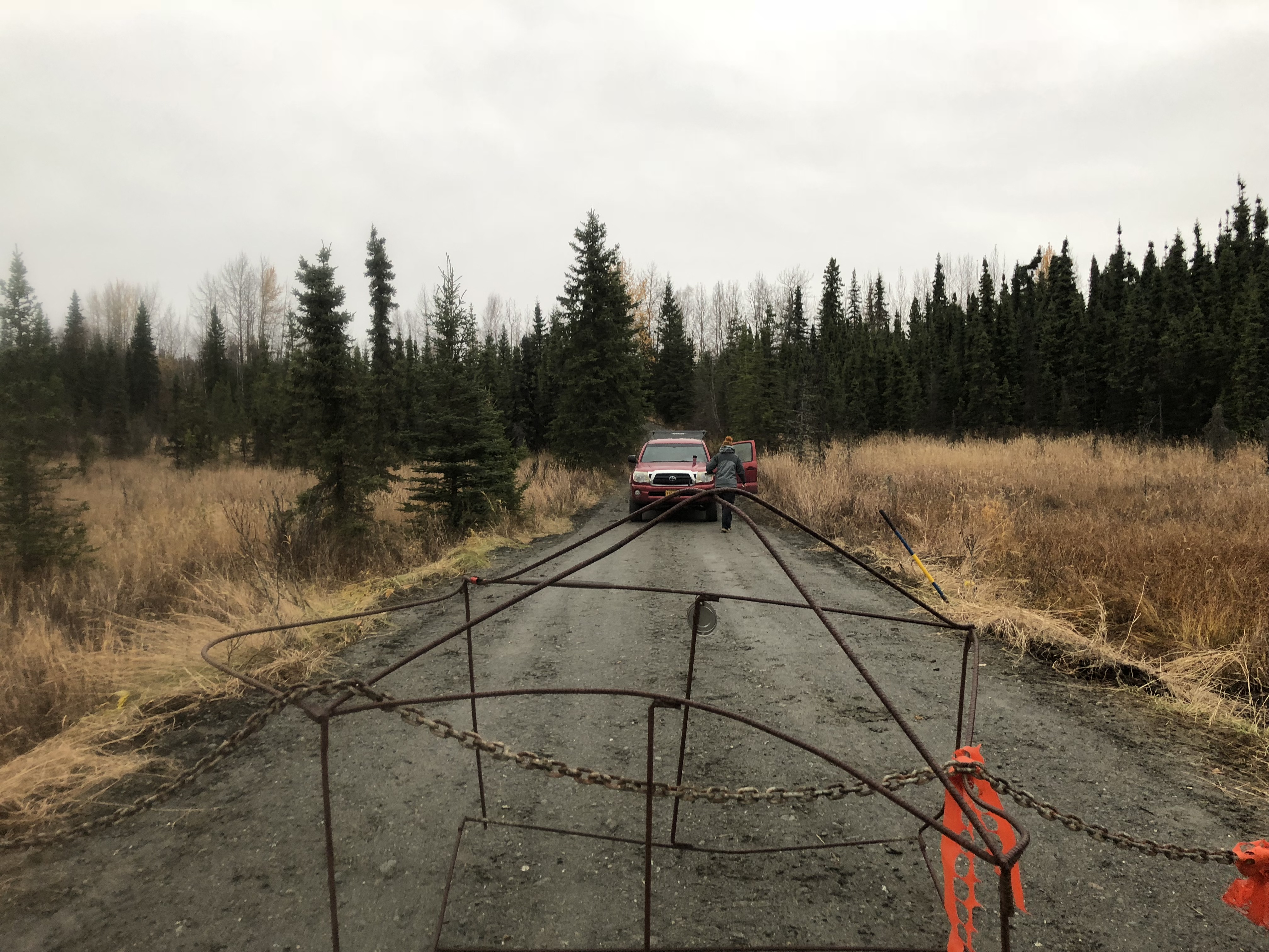
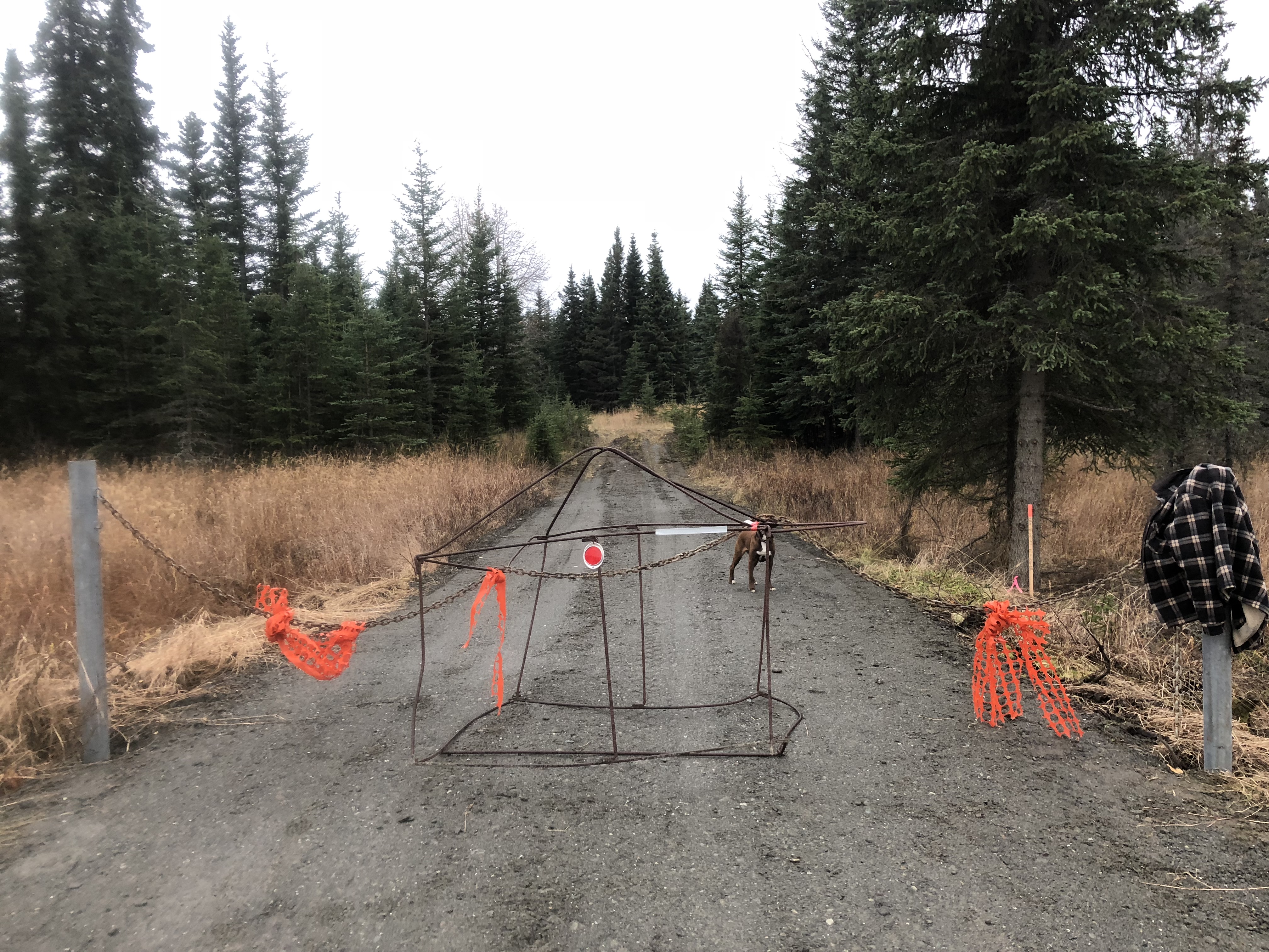
Region: South Central
Road Name: Forest Road
Datum: NAD83
Quad Name / ITM: Kenai B-3
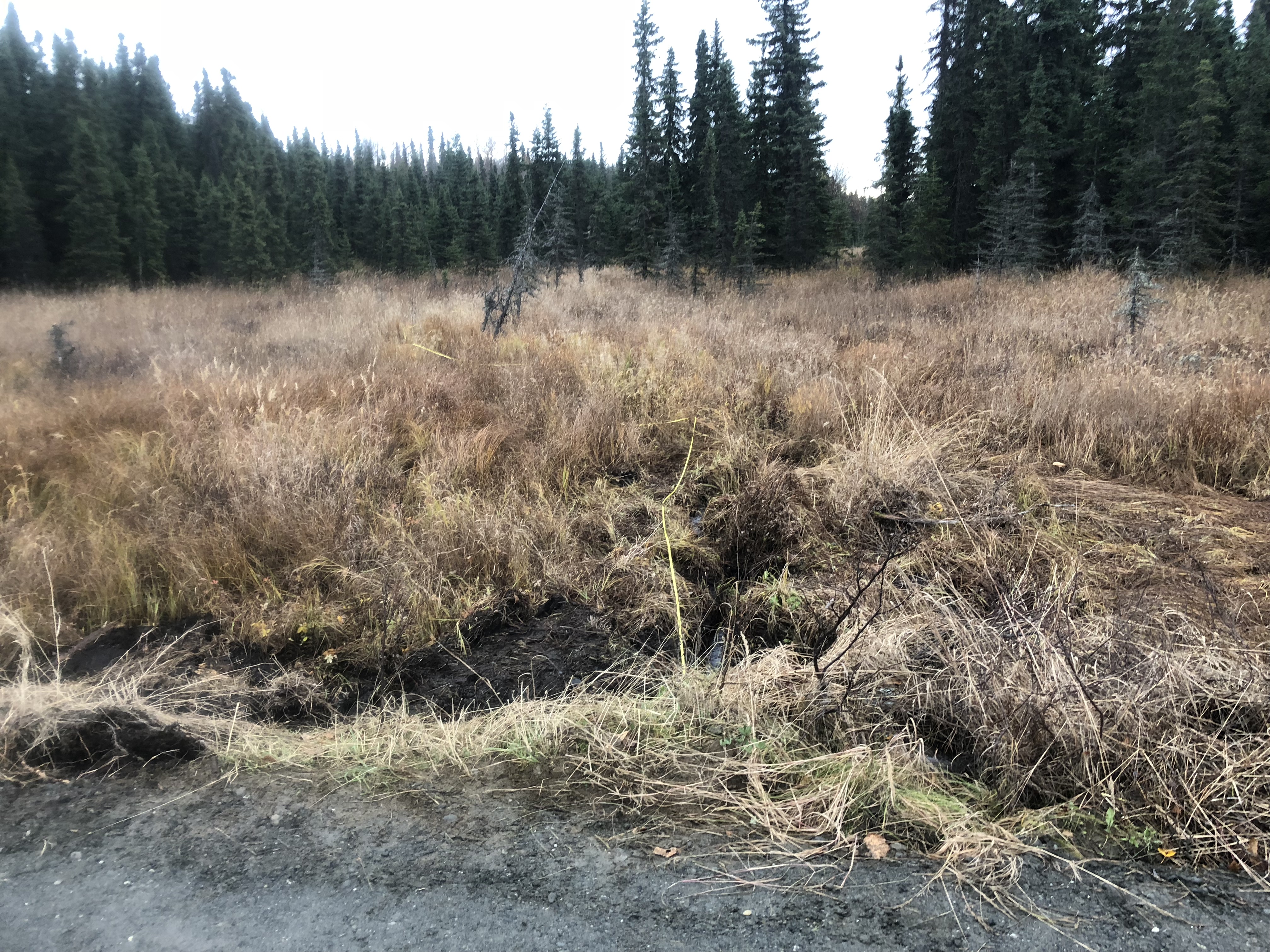
AWC Stream #:
Stream Name: Unnamed
Elevation:
Site Comments: None
arrow to the right of the survey date below to choose a different report for this site.
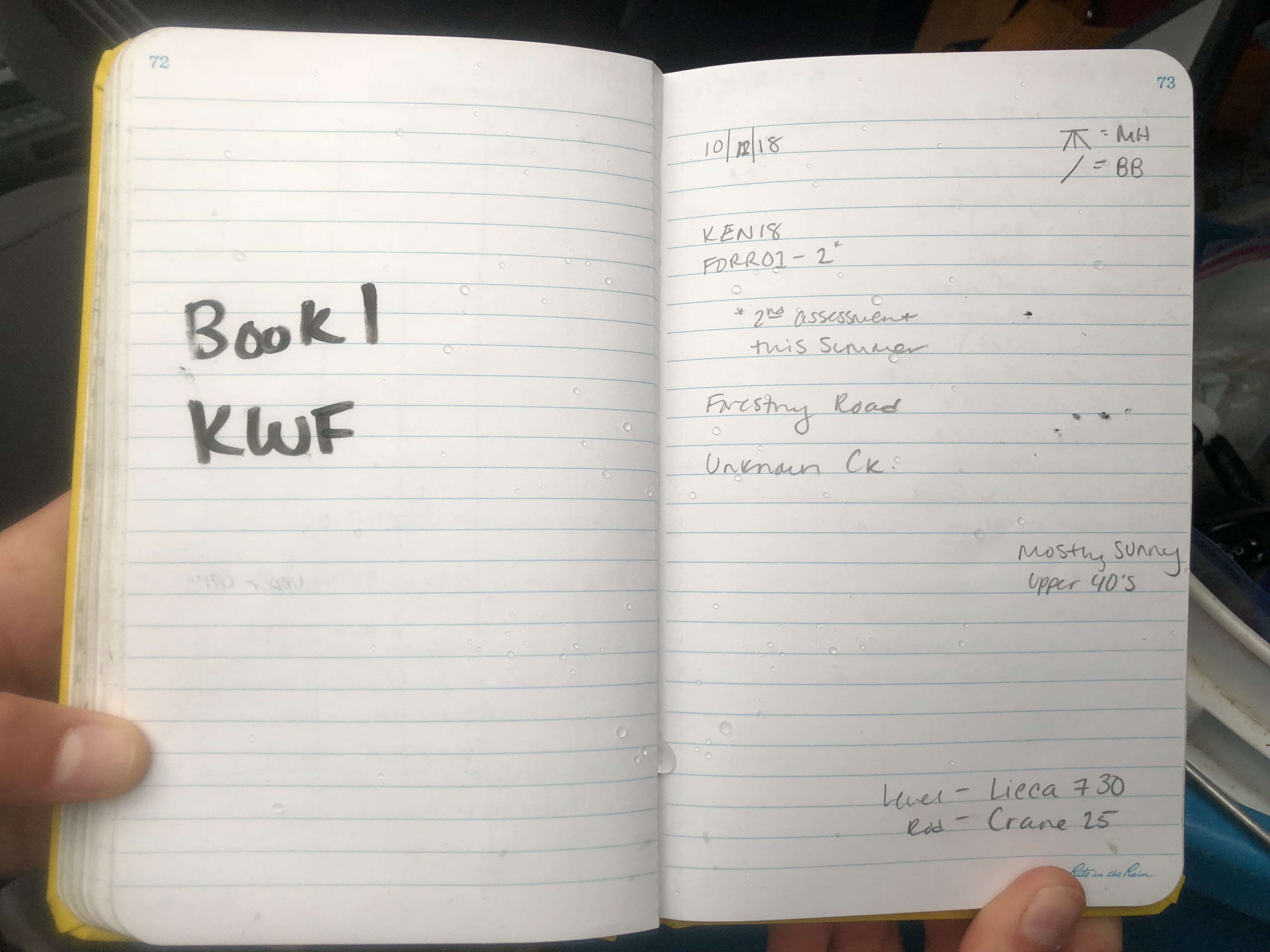
Survey KEN18-FORR01-2
Observers: Maggie Harings, Brandon Bornemann
Overall Fish Passage Rating:
Tidal: No
Backwatered: No
Step Pools: No
Construction Year: 2018
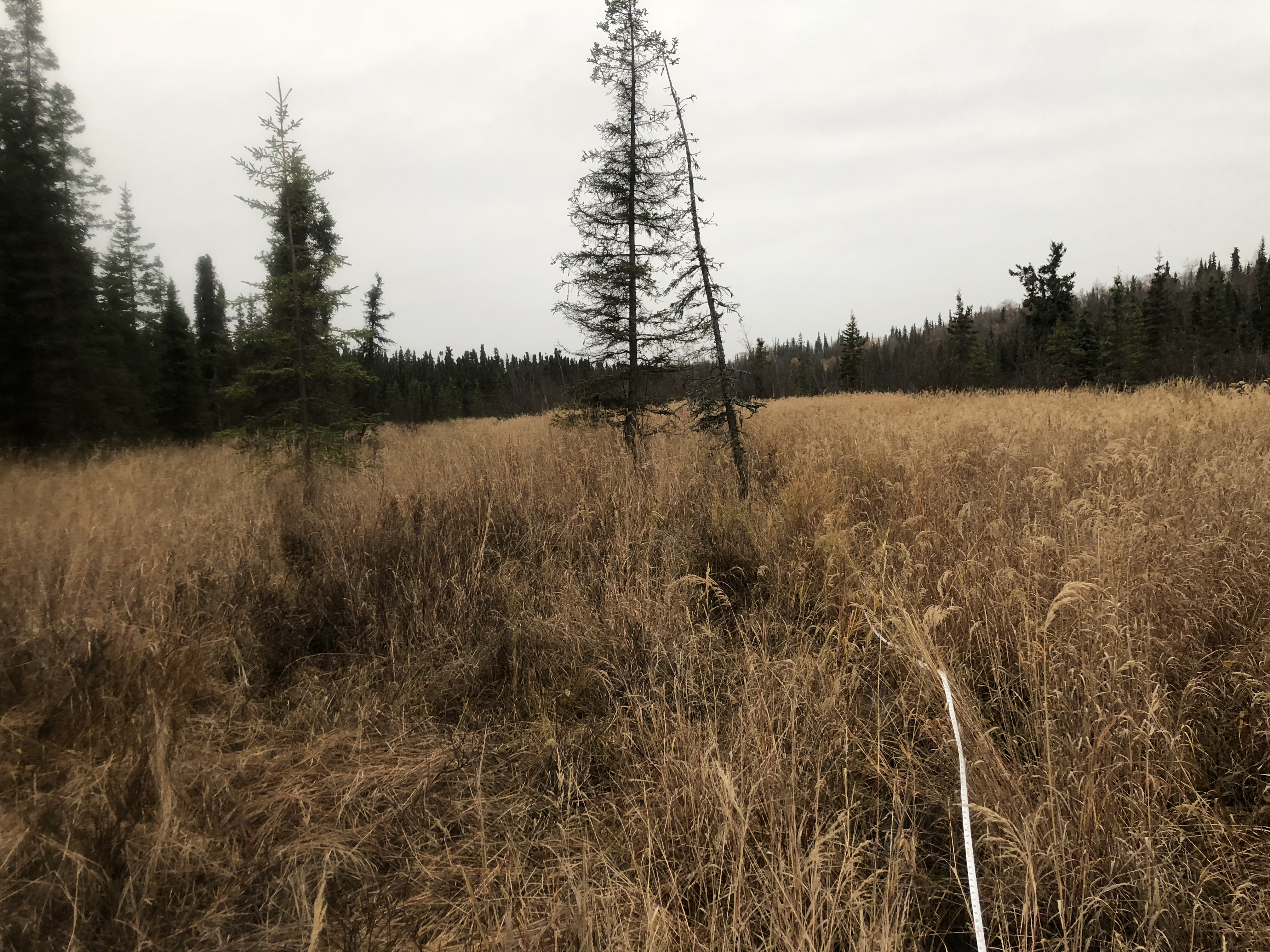
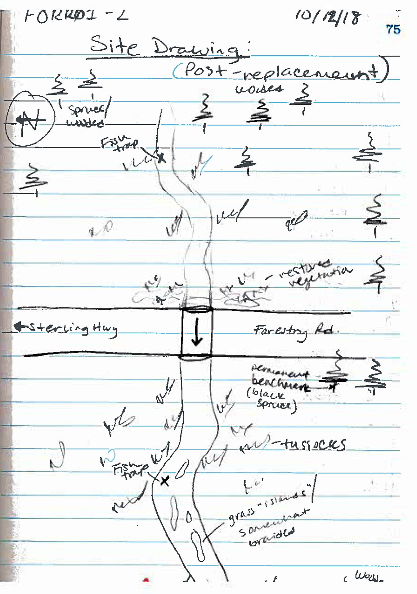
Site Observations:
- None of this type
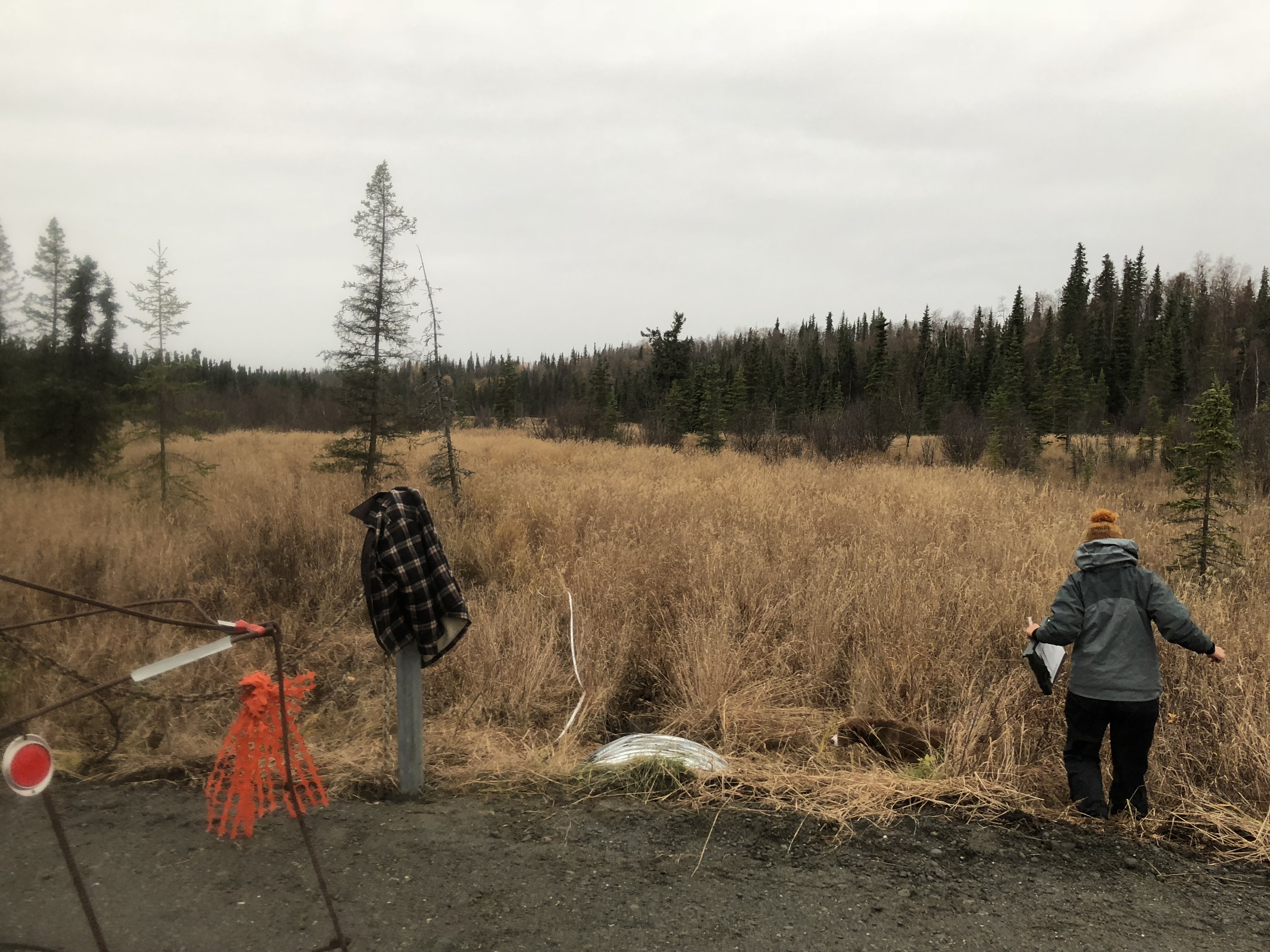
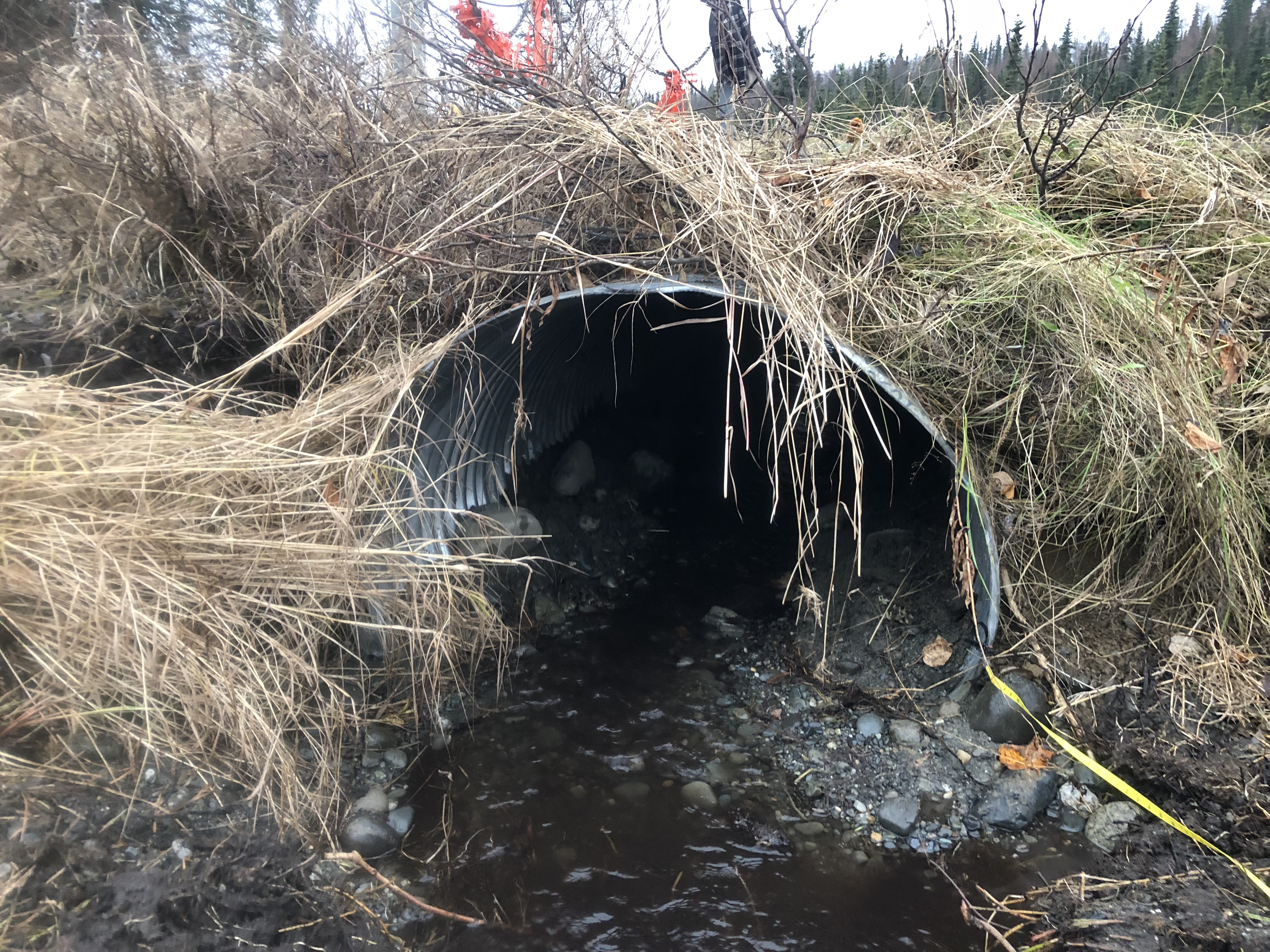
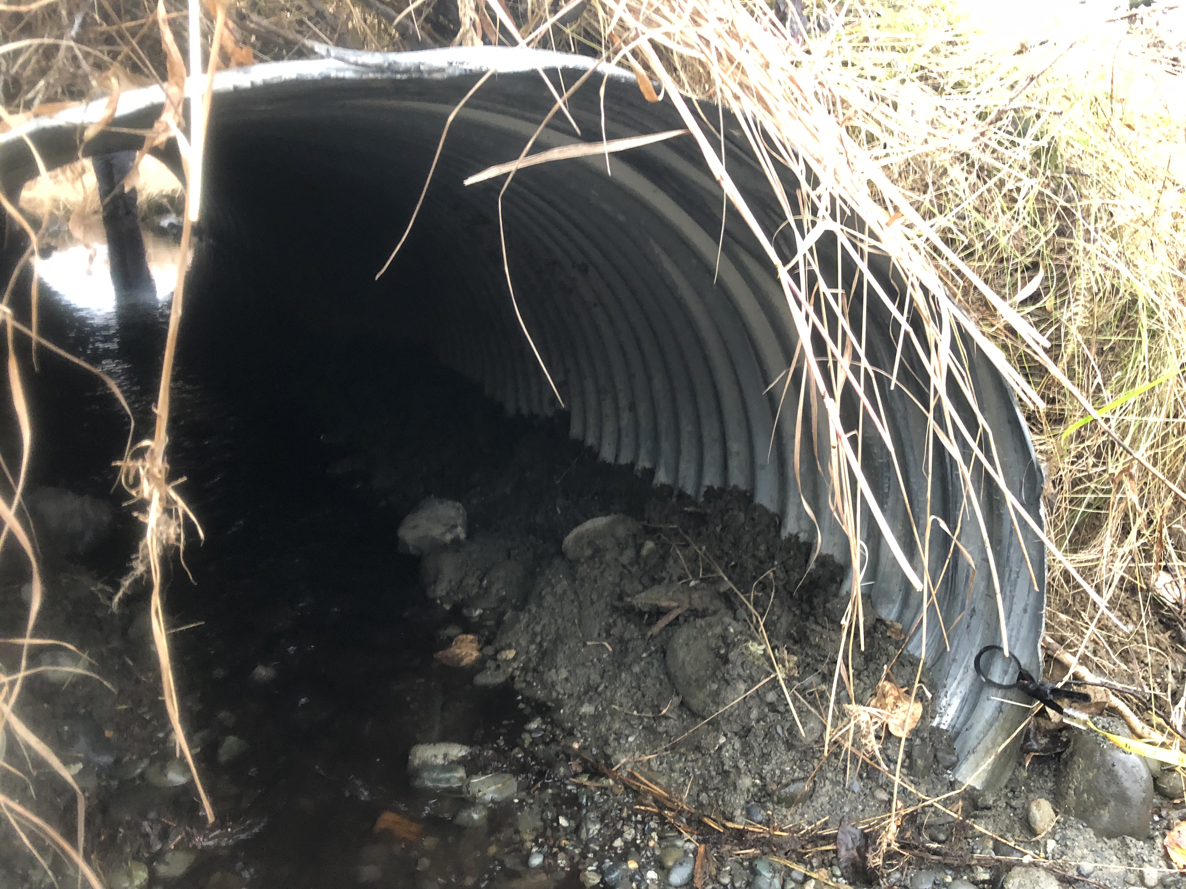
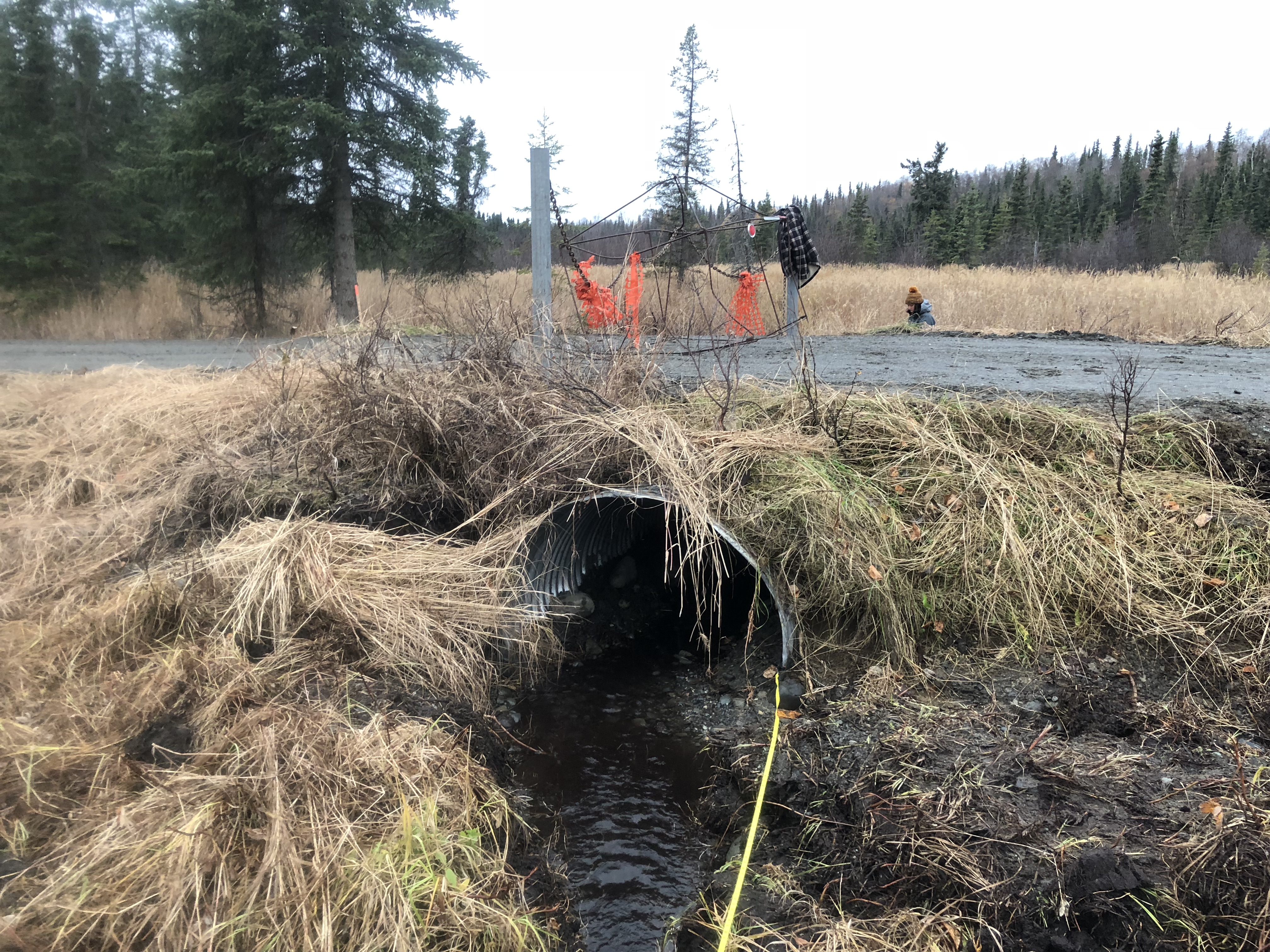
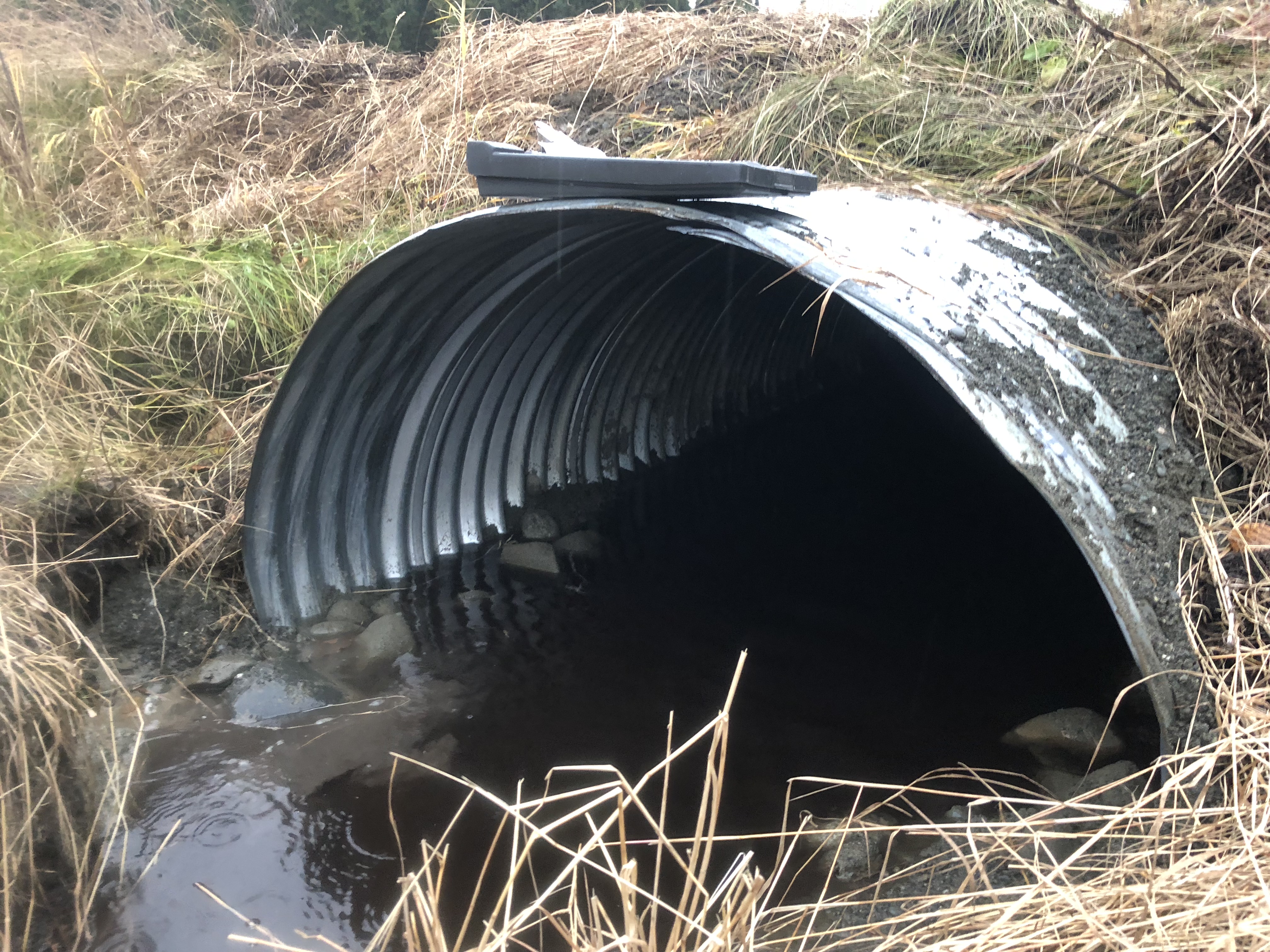
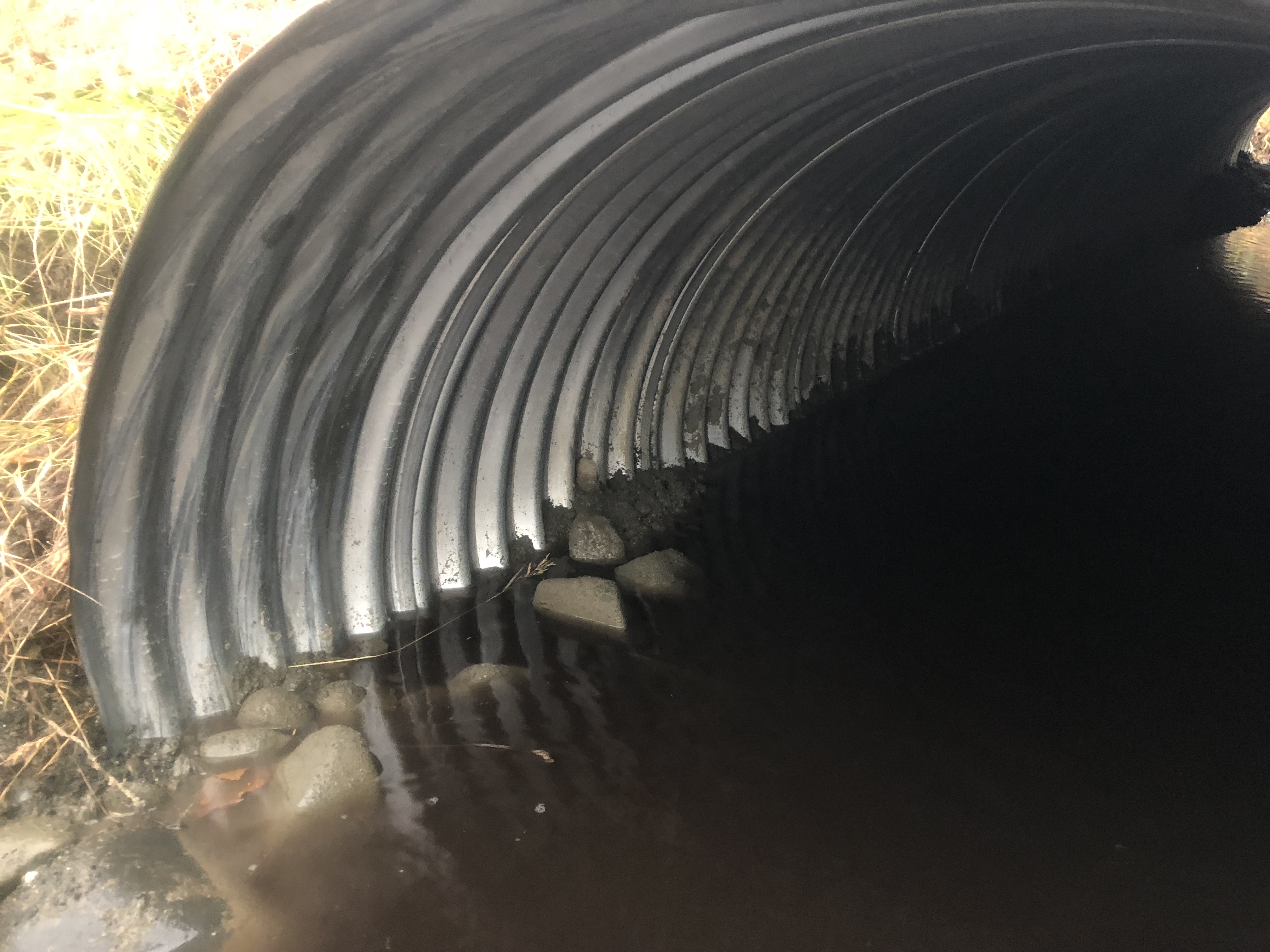
Comments: Culvert assessment and photos provided by Kenai Watershed Forum. Culvert replaced 10/1/18. Will be reaccessed in 2019 after cuvlert and stream have time to adjust.
Culvert Measurements
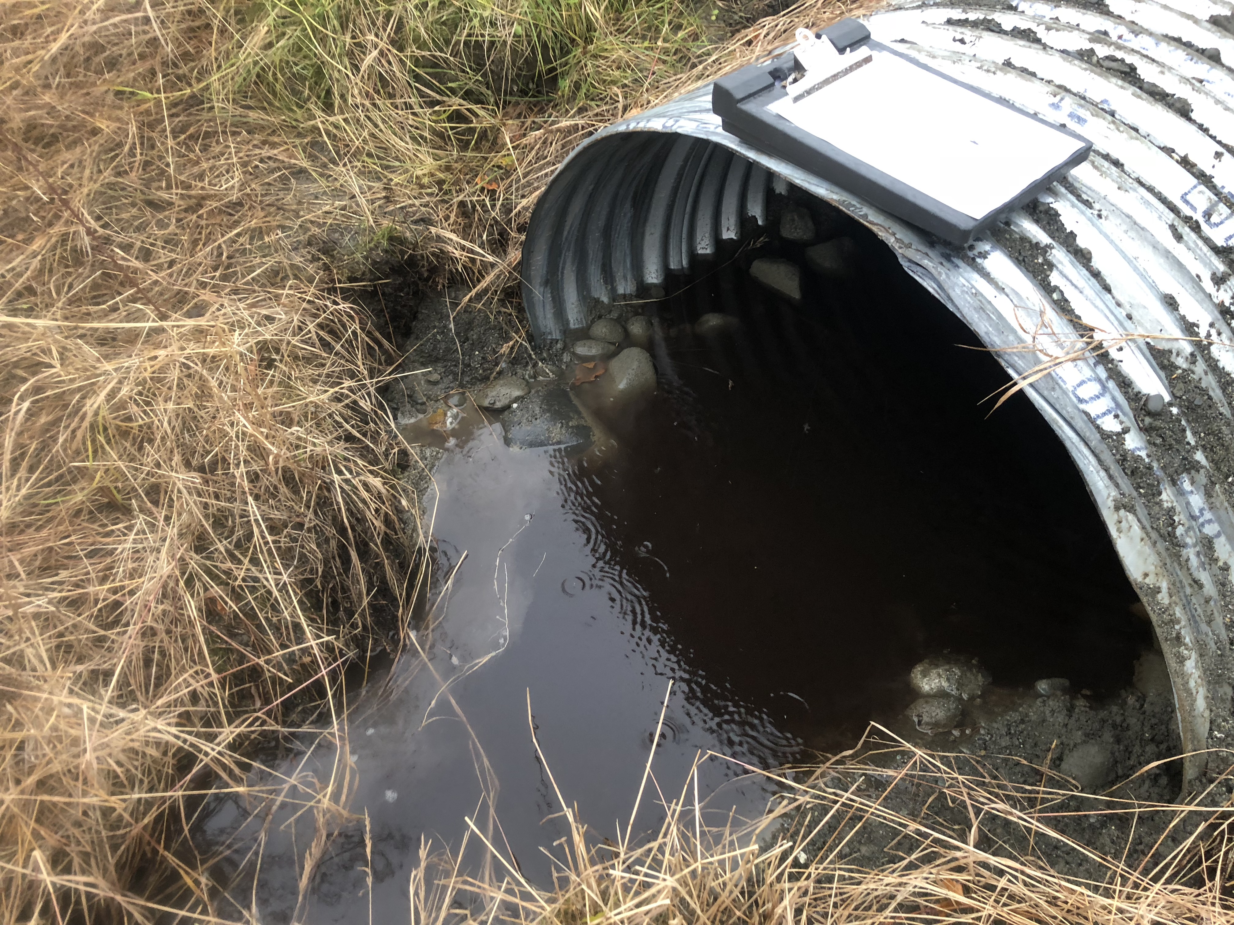
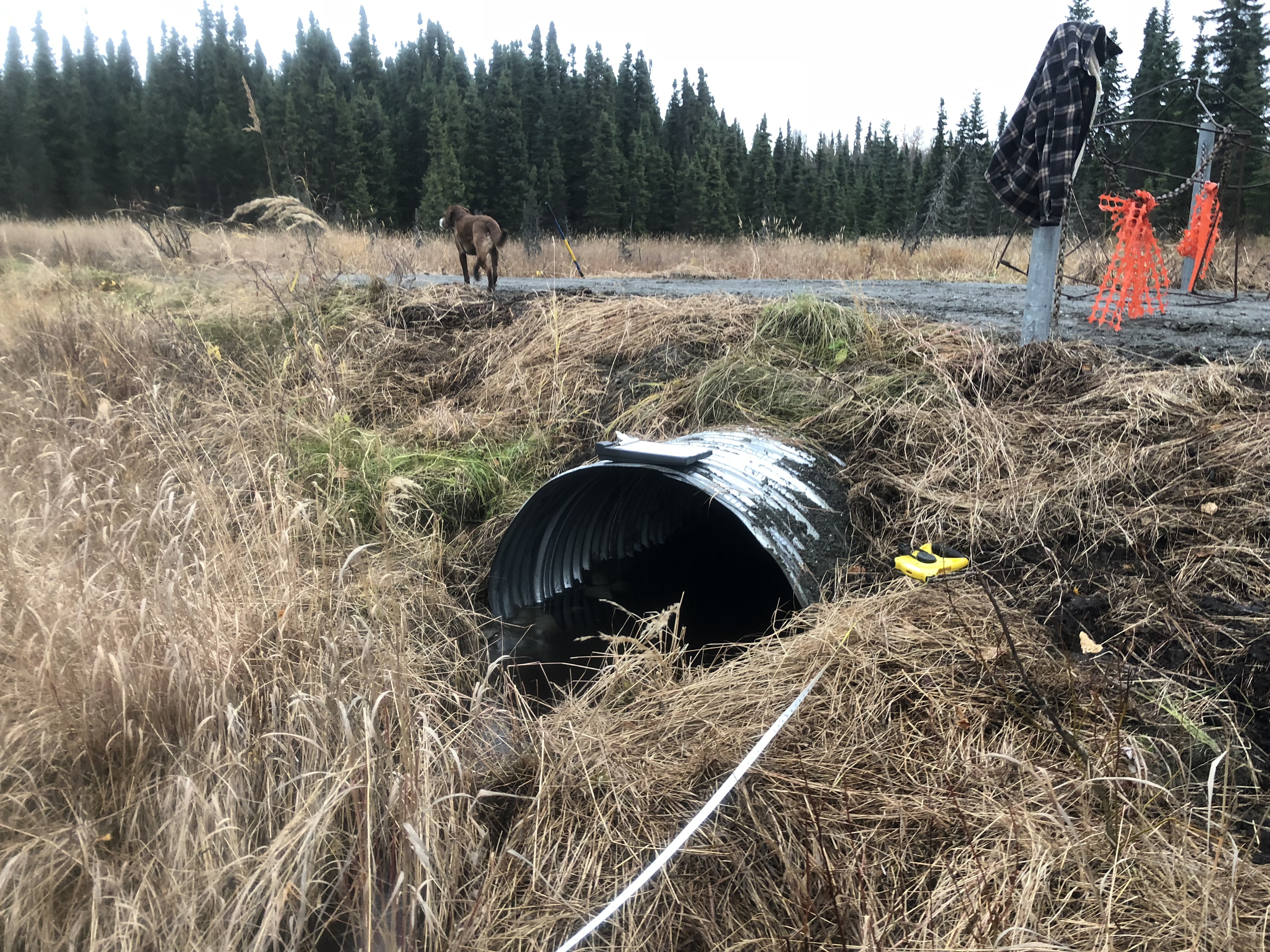
| ID: 1 | Structure Type: Circular pipe (Corrugated steel) | Fish Passage Rating: | ||||||||||||||||||||||||||||||||||||||||||
|
|
|
||||||||||||||||||||||||||||||||||||||||||
Comments: Water surface gradient through culvert 0.66%. Downstream gradient 0.73%. |
||||||||||||||||||||||||||||||||||||||||||||
Culvert Observations:
|
||||||||||||||||||||||||||||||||||||||||||||
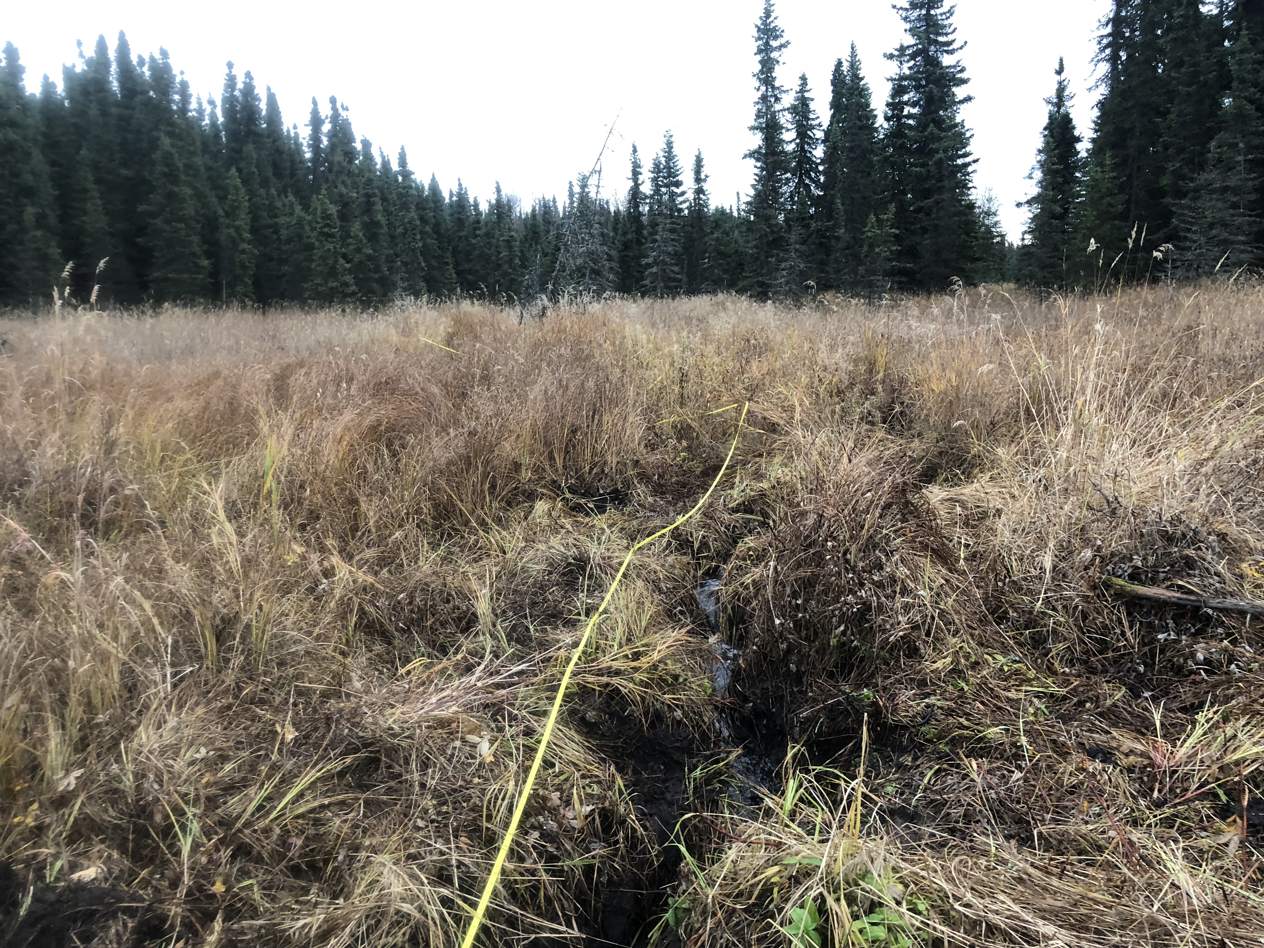
Stream Measurements
|
|
| Stream Width Type | Distance From Crossing (ft) |
Stream Width (ft) |
|---|---|---|
| Upstream ordinary high water | 30.0 | 2.30 |
| Upstream ordinary high water | 75.0 | 2.30 |
| Upstream ordinary high water | 95.0 | 2.40 |
| Upstream ordinary high water | 125.0 | 2.30 |
Elevations
| Locator ID | Culvert Number |
River Distance (ft)1 |
Distance From Crossing (ft)2 |
Relative Elevation (ft) |
|---|---|---|---|---|
| Road Elev | 101.51 | |||
| D/S Thalweg | 0.00 | 96.46 | ||
| D/S Water Surface Elev | 0.00 | 97.15 | ||
| D/S Water Surface Elev | 14.00 | 97.26 | ||
| D/S Thalweg | 14.00 | 96.58 | ||
| D/S Thalweg | 41.00 | 96.49 | ||
| D/S Water Surface Elev | 41.00 | 97.52 | ||
| D/S Thalweg | 63.00 | 96.83 | ||
| D/S Water Surface Elev | 63.00 | 97.61 | ||
| D/S Water Surface Elev | 76.00 | 97.63 | ||
| Outlet Invert (on substrate) | 76.00 | 96.84 | ||
| Outlet Culvert Top | 76.00 | 100.00 | ||
| Inlet Culvert Top | 106.00 | 100.61 | ||
| Inlet Culvert Invert (on substrate) | 106.00 | 97.53 | ||
| U/S Water Surface Elev | 106.00 | 97.84 | ||
| U/S Grade Ctrl (Thalweg) | 123.00 | 98.20 | ||
| U/S Water Surface Elev | 123.00 | 98.34 | ||
| U/S Thalweg (upstream pool) | 148.00 | 98.11 | ||
| U/S Water Surface Elev | 148.00 | 98.79 | ||
| U/S Water Surface Elev | 183.00 | 98.96 | ||
| U/S Thalweg | 183.00 | 98.58 | ||
| U/S Thalweg | 215.00 | 98.70 | ||
| U/S Water Surface Elev | 215.00 | 99.18 | ||
| U/S Water Surface Elev | 247.00 | 99.44 | ||
| U/S Thalweg | 247.00 | 98.95 |
Notes:
- River distance is measured continuously throughout the survey reach along the thalweg of the stream.
- Measured from each end of the crossing along the thalweg of the stream.
Fish Sampling Efforts
| Gear Type: Minnow Trap (A) | Trap Duration(h): 1.5 | |
| Comments: Trap set about 70 feet upstream | ||
| Gear Type: Minnow Trap (B) | Trap Duration(h): 1.4166666 | |
| Comments: Trap set about 40 feet downstream. | ||
Fish Observations
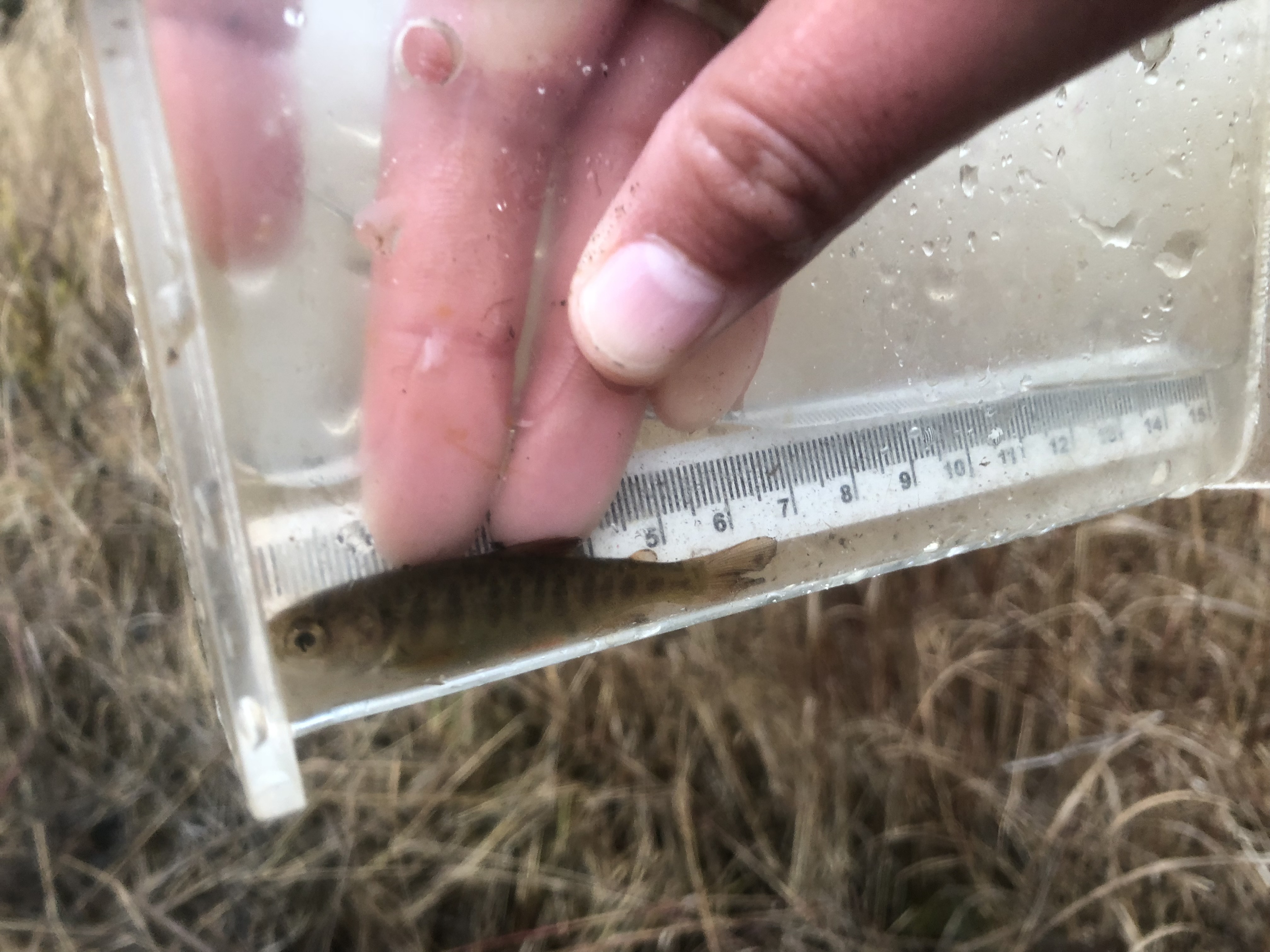
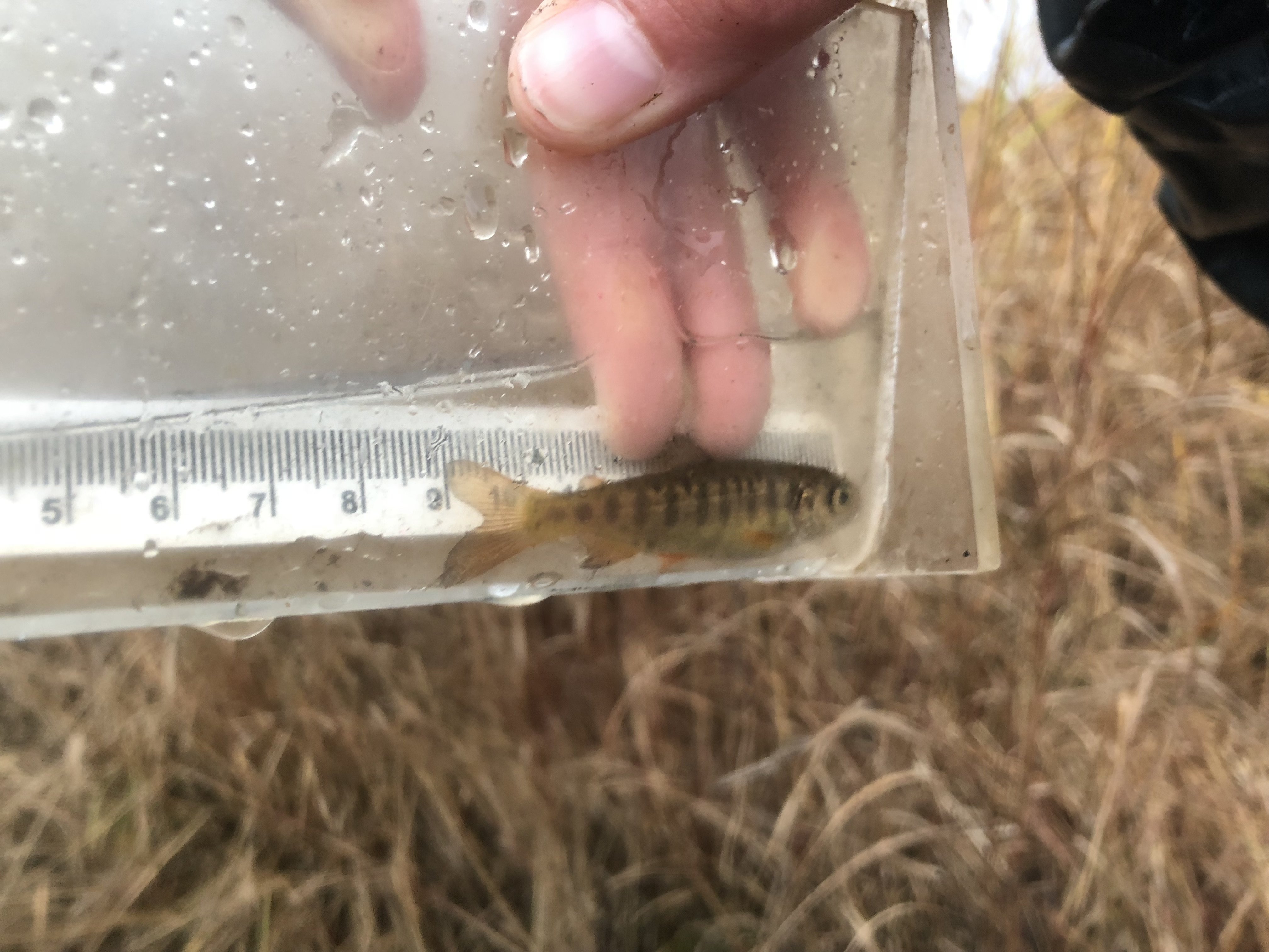
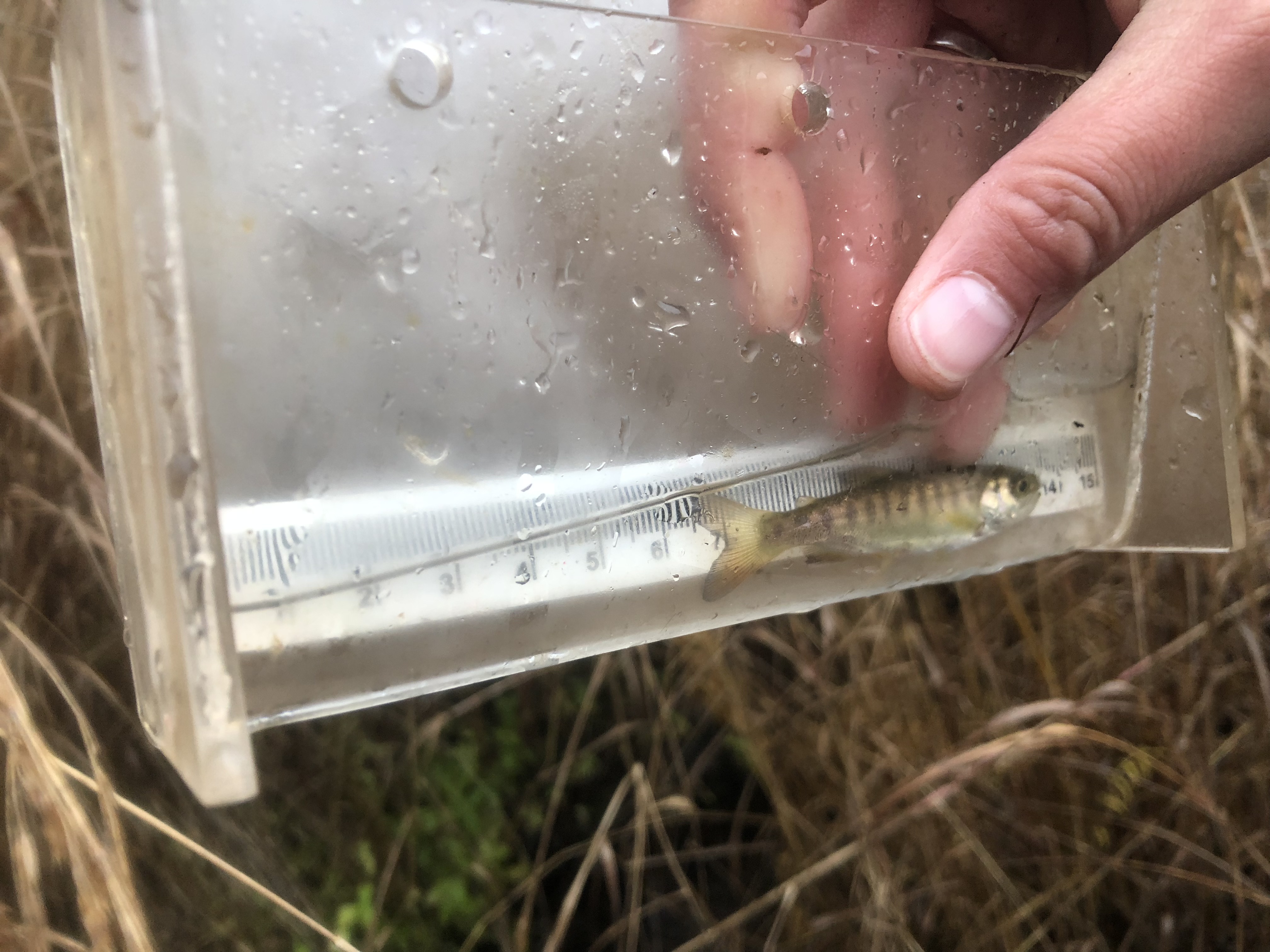
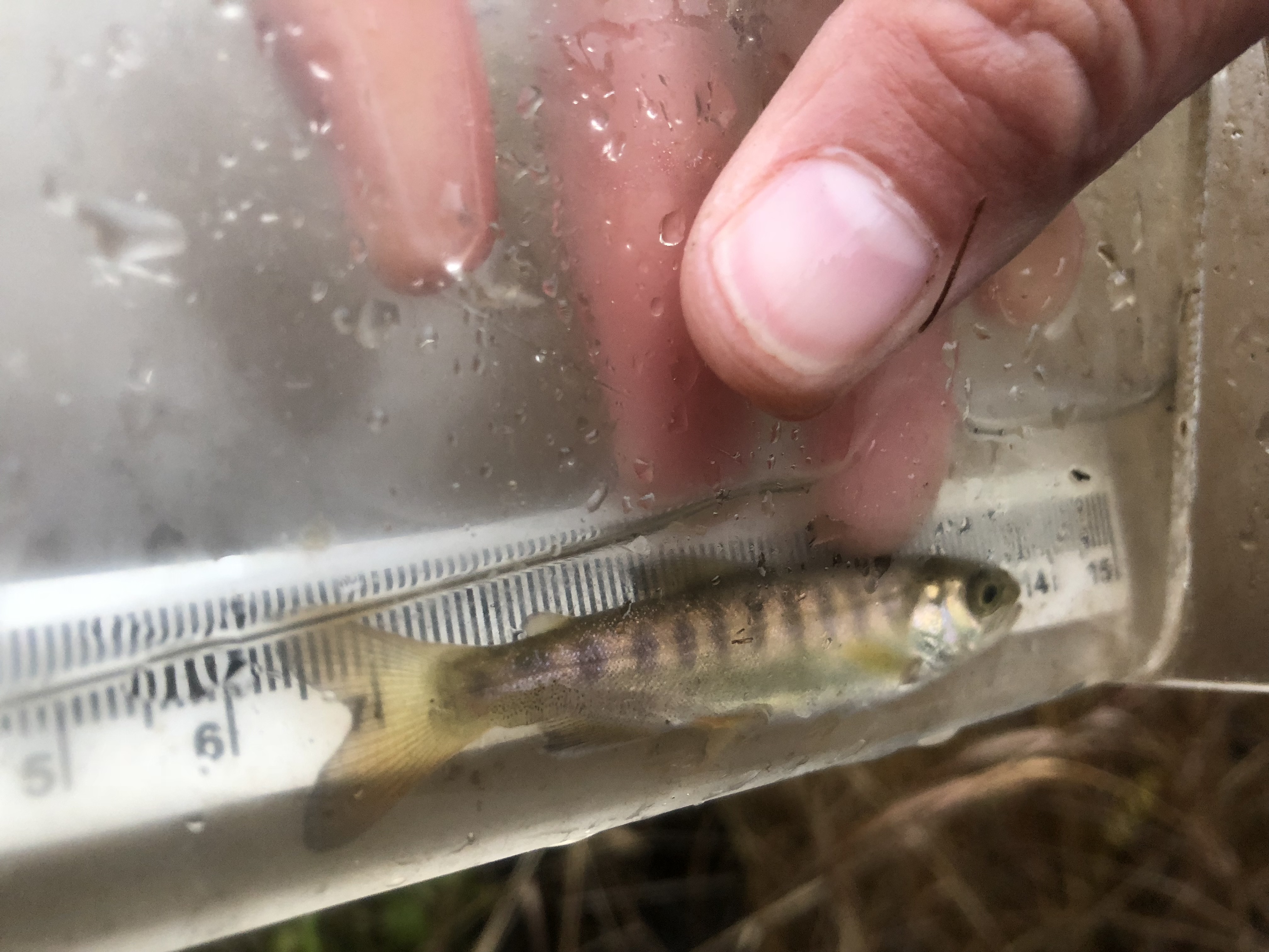
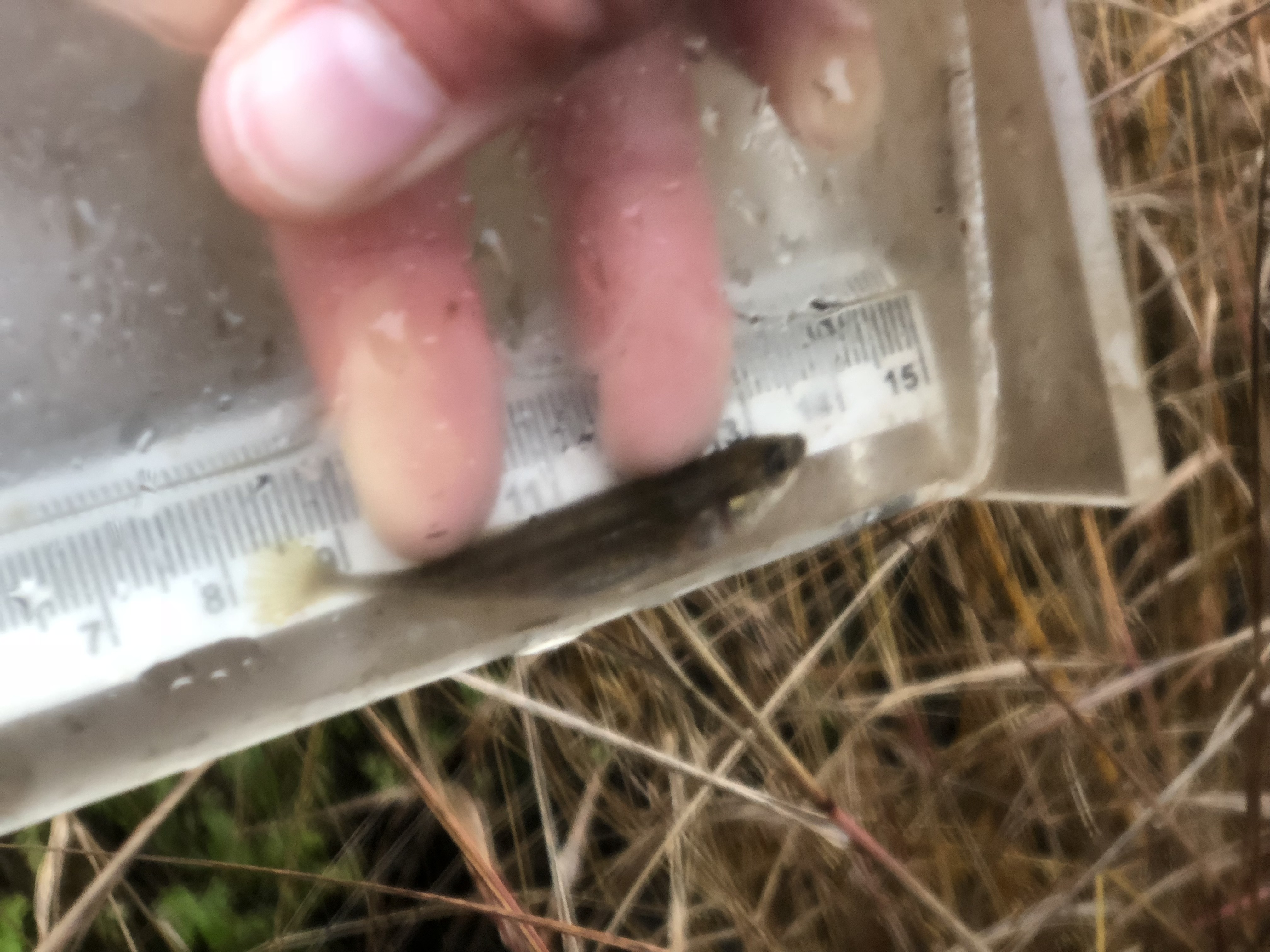
| Species: juvenile coho salmon | Life History: Anadromous | ||
| Total Fish Observed: 6 | Fish Measured: 6 | Fork Lengths (mm) Min: 45 Max: 65 Mean: 55 | |
| Collected/Observed by Gear Type: Downstream Minnow Trap (4) Upstream Minnow Trap (2) | |||
| Species: juvenile Dolly Varden | Life History: Unknown | ||
| Total Fish Observed: 1 | Fish Measured: 1 | Fork Lengths (mm) Min: 96 Max: 96 Mean: 96 | |
| Collected/Observed by Gear Type: Upstream Minnow Trap (1) | |||
| Species: ninespine stickleback | Life History: Unknown | ||
| Total Fish Observed: 2 | Fish Measured: 2 | Fork Lengths (mm) Min: 47 Max: 60 Mean: 53 | |
| Collected/Observed by Gear Type: Upstream Minnow Trap (2) | |||
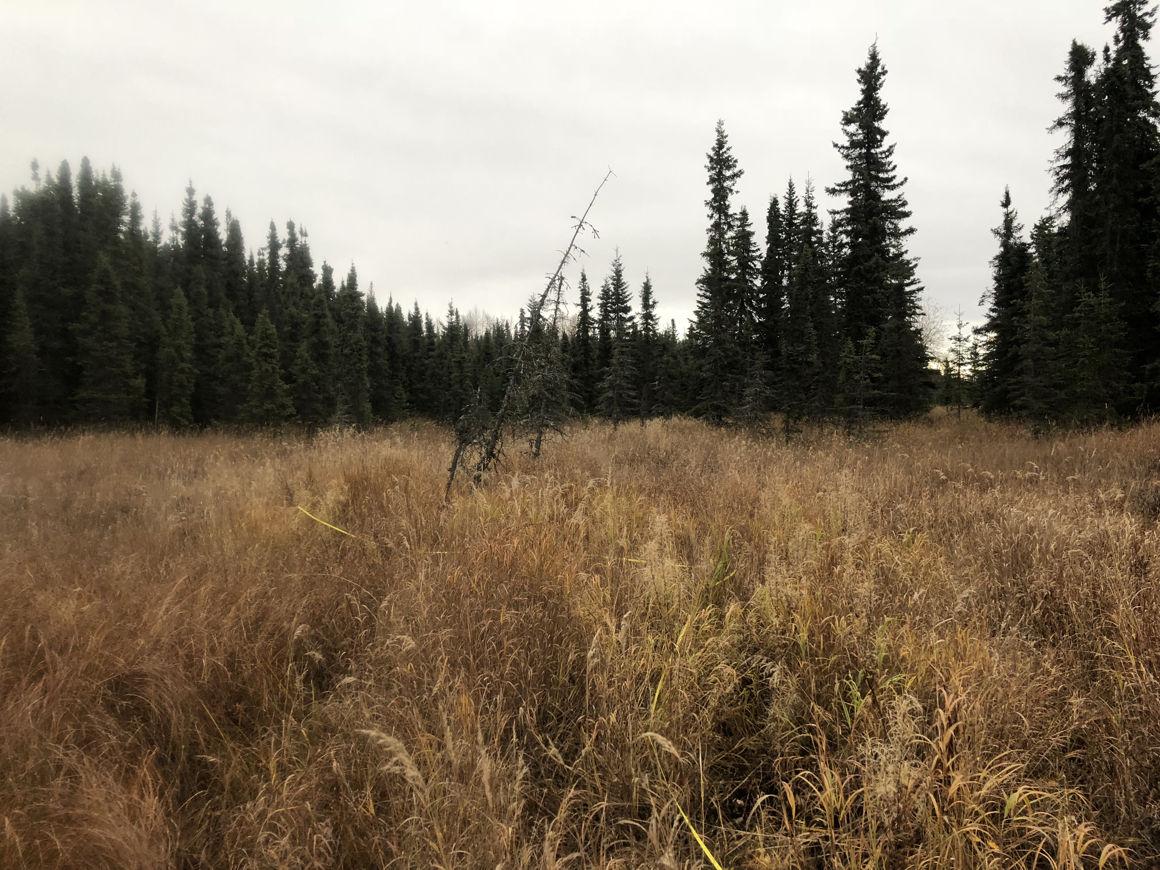
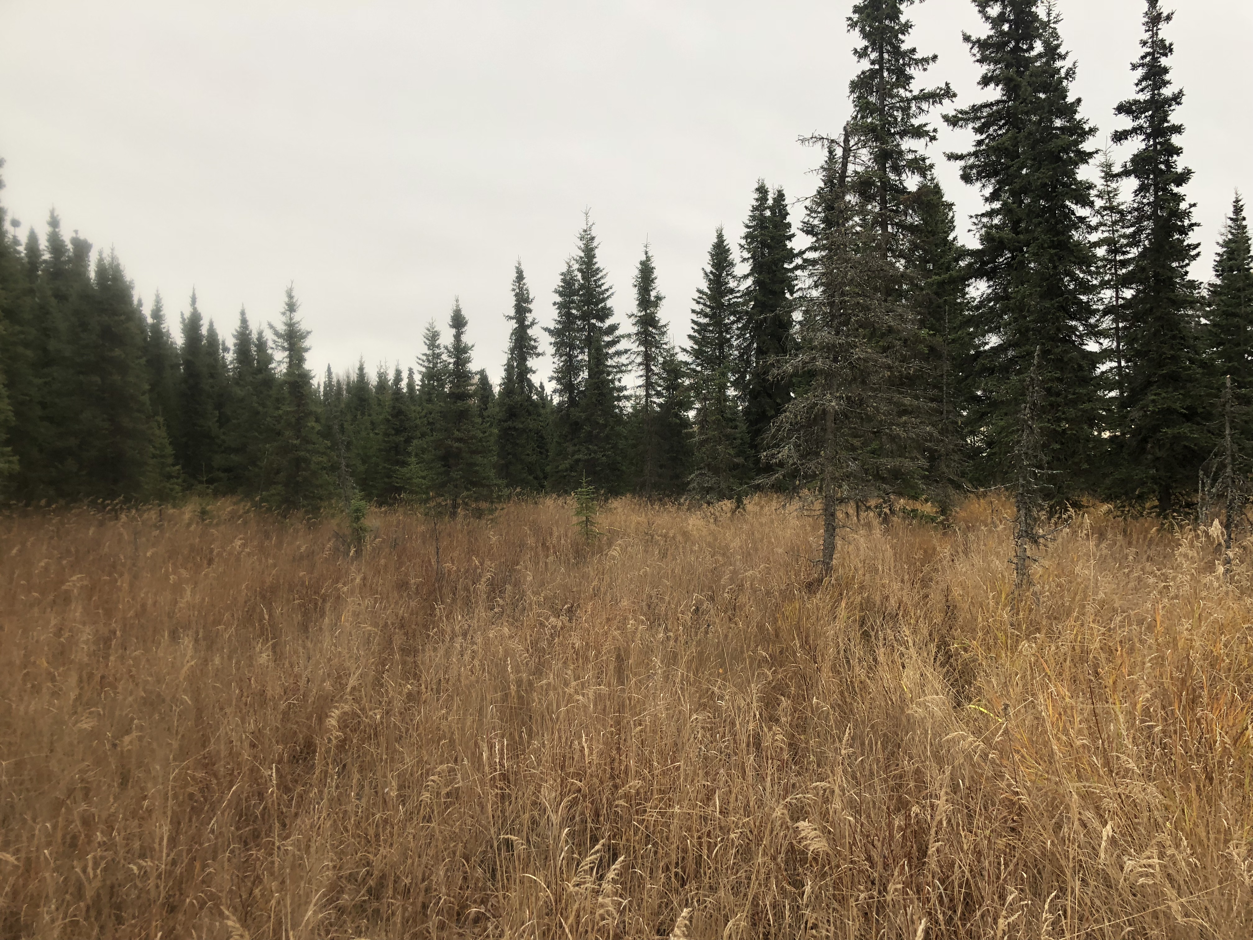
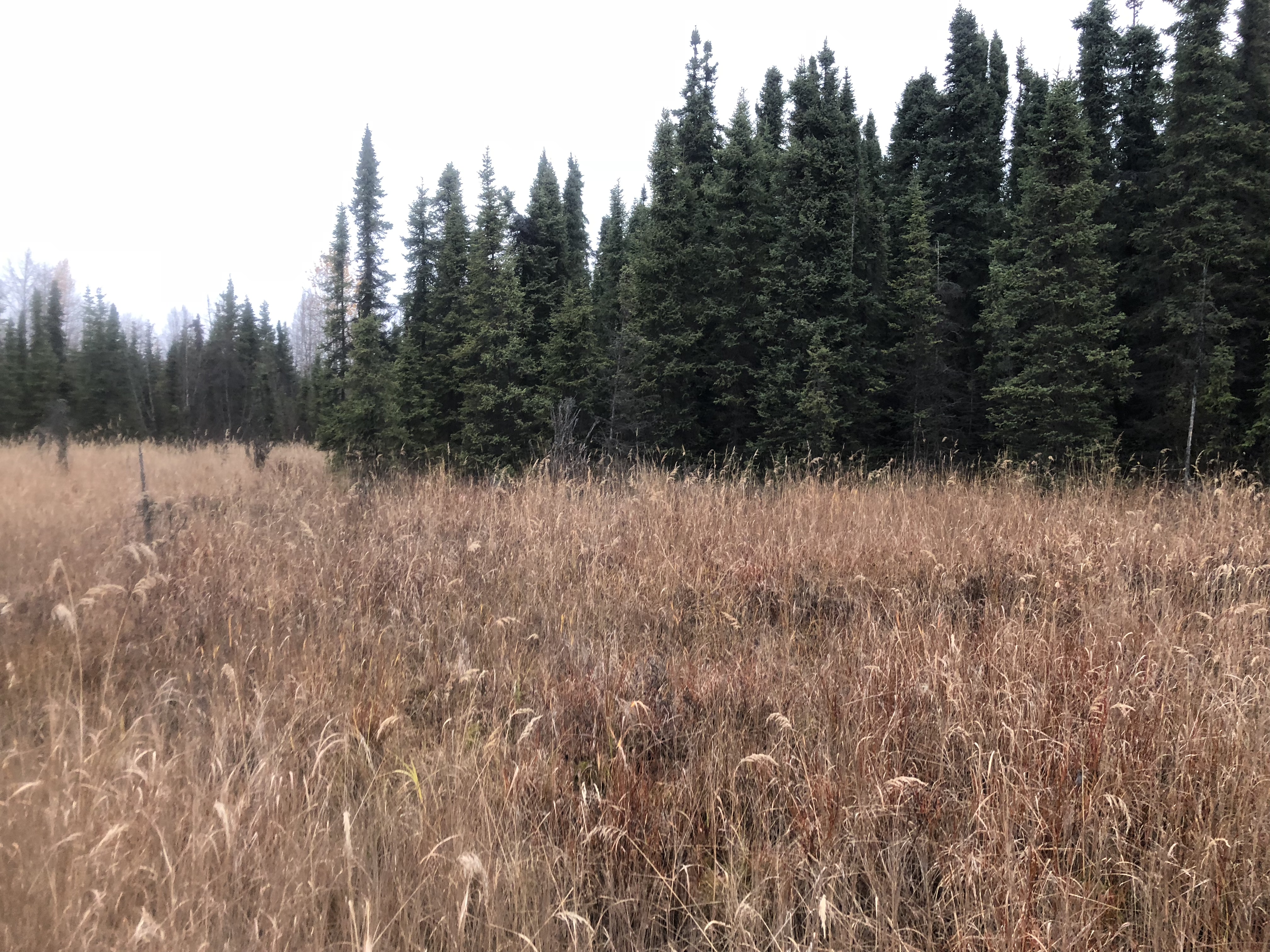
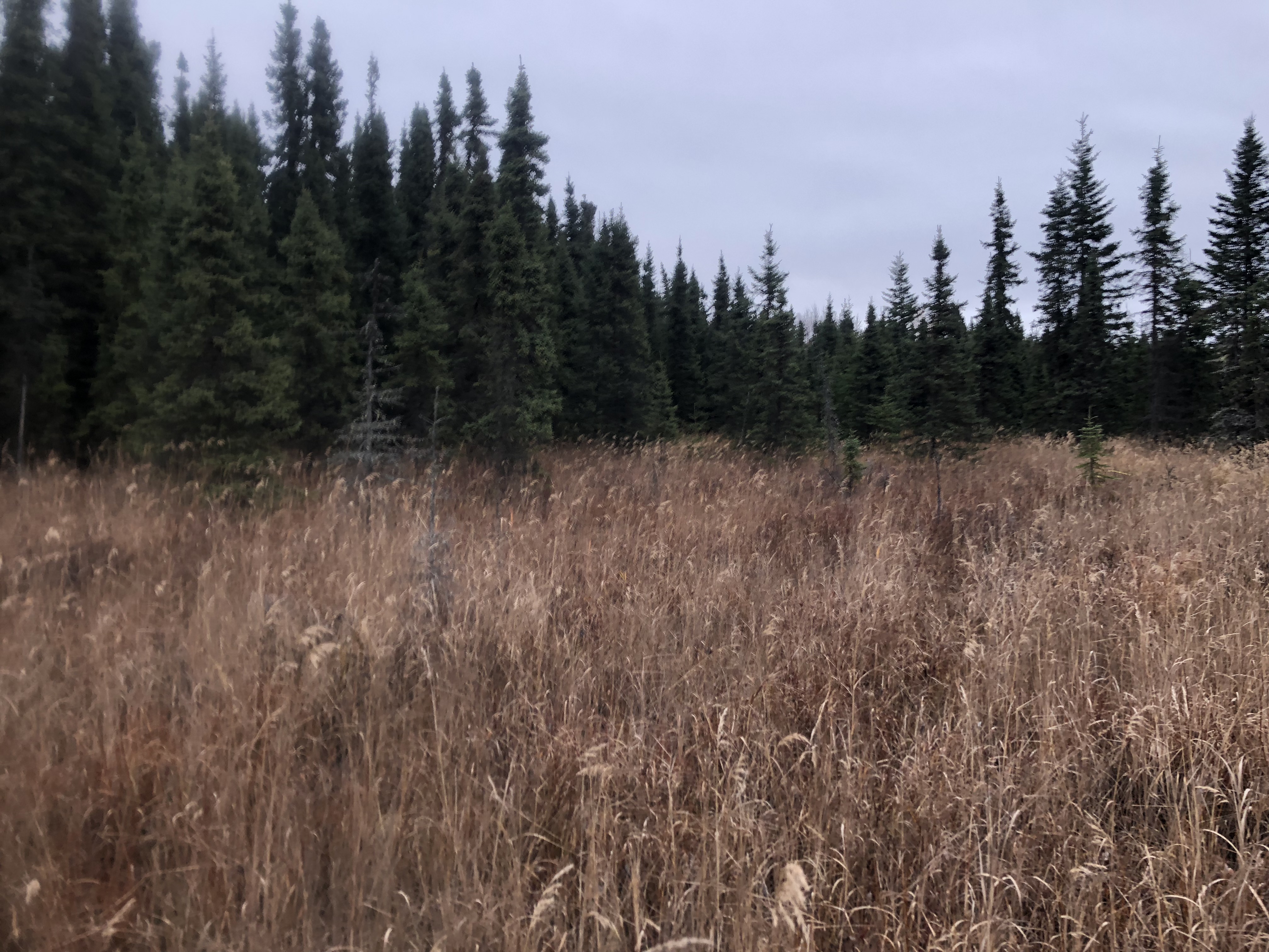
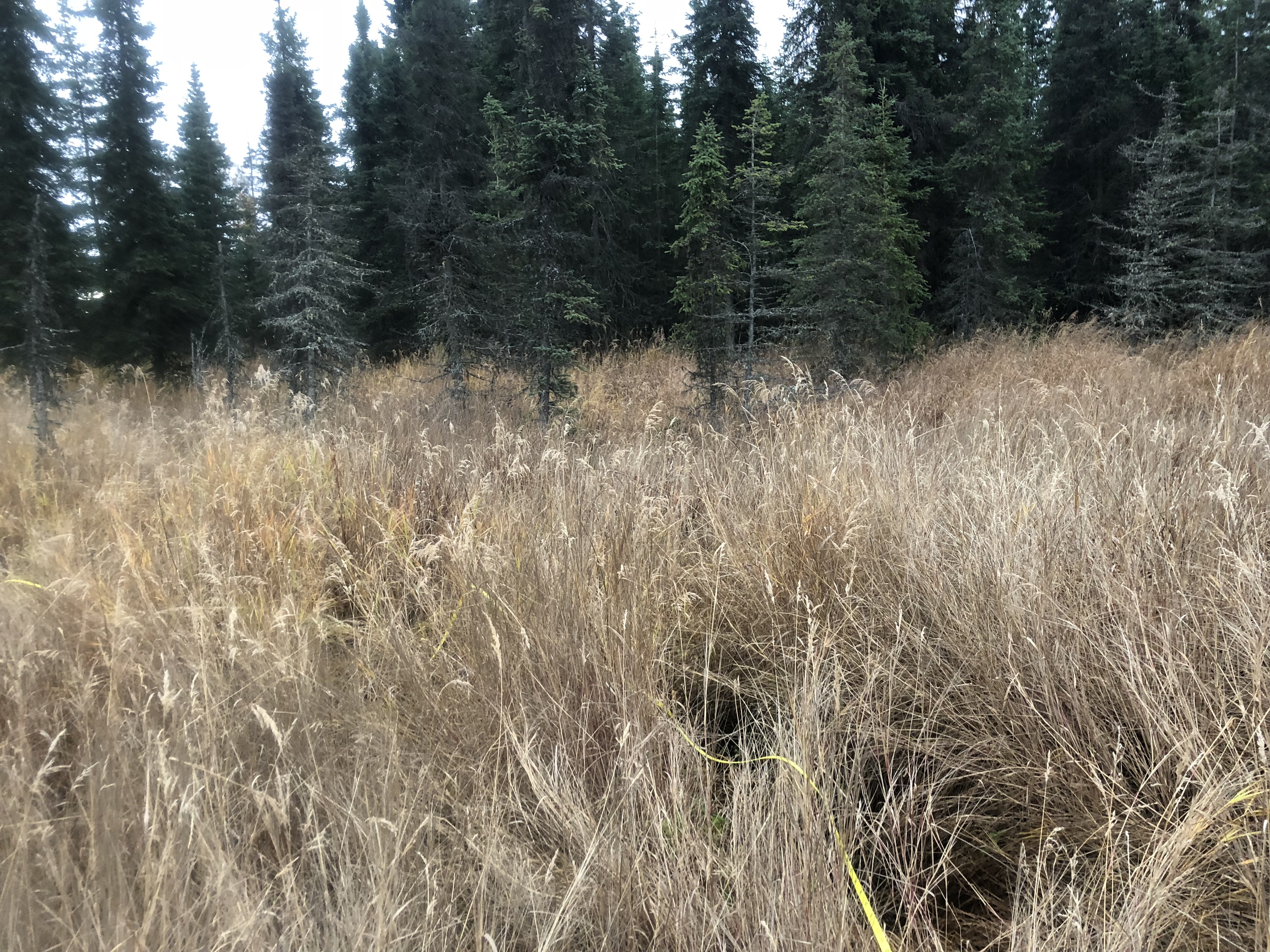
Photos


Questions or comments about this report can be directed to dfg.dsf.webmaster@alaska.gov