Fish Passage Site 20303805
Coordinates (dec. deg.): 60.49538°, -151.01906°
Legal Description: S005N010W27
Region: South Central
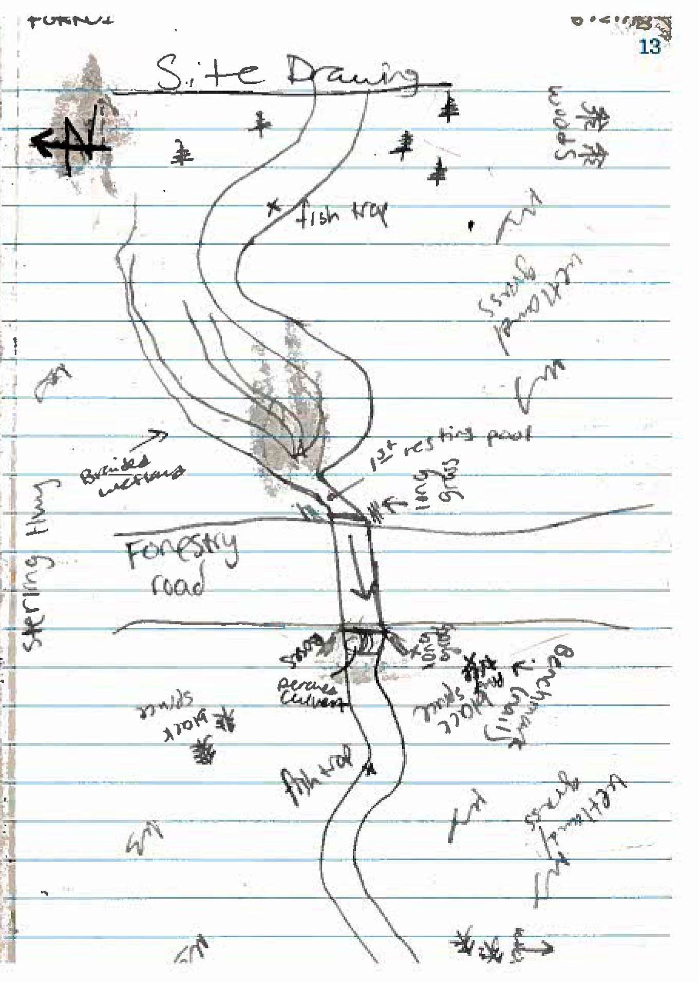
Road Name: Forest Road
Datum: NAD83
Quad Name / ITM: Kenai B-3
AWC Stream #:
Stream Name: Unnamed
Elevation:
Site Comments: None
arrow to the right of the survey date below to choose a different report for this site.
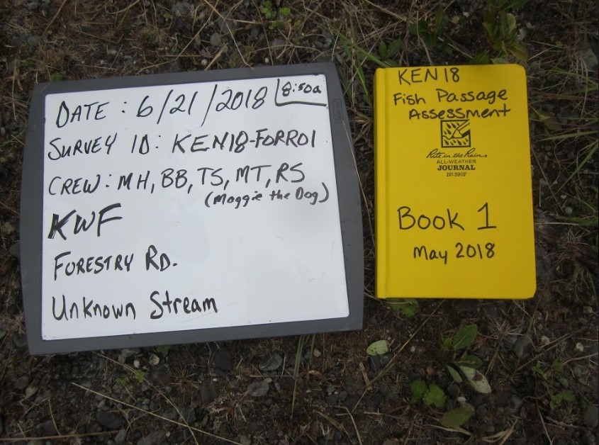
Survey KEN18-FORR01
Observers: Maggie Harings, Madeleine Tucker, Rachel Smaby, Tait Stevenson
Overall Fish Passage Rating:
Tidal: No
Backwatered: No
Step Pools: No
Construction Year:
Site Observations:
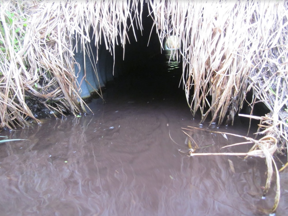
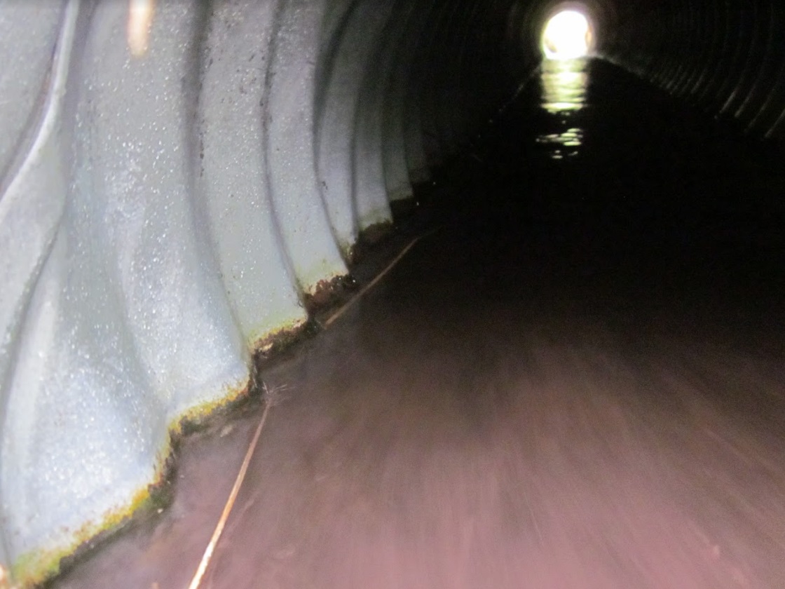
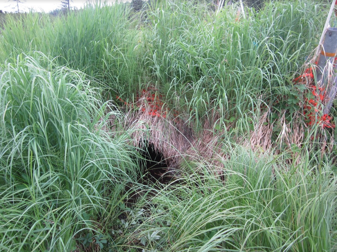
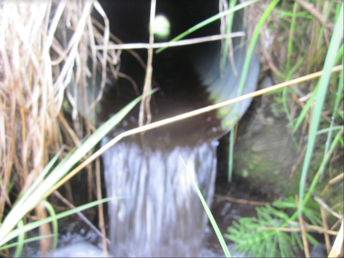
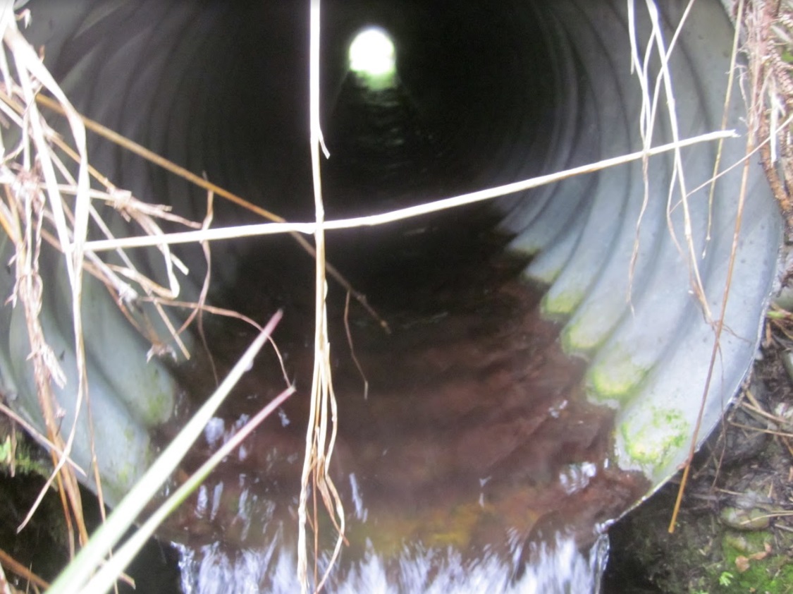
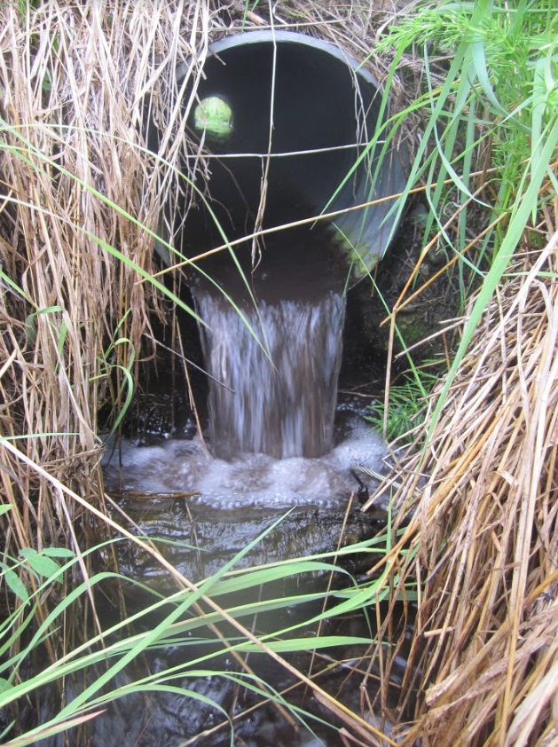
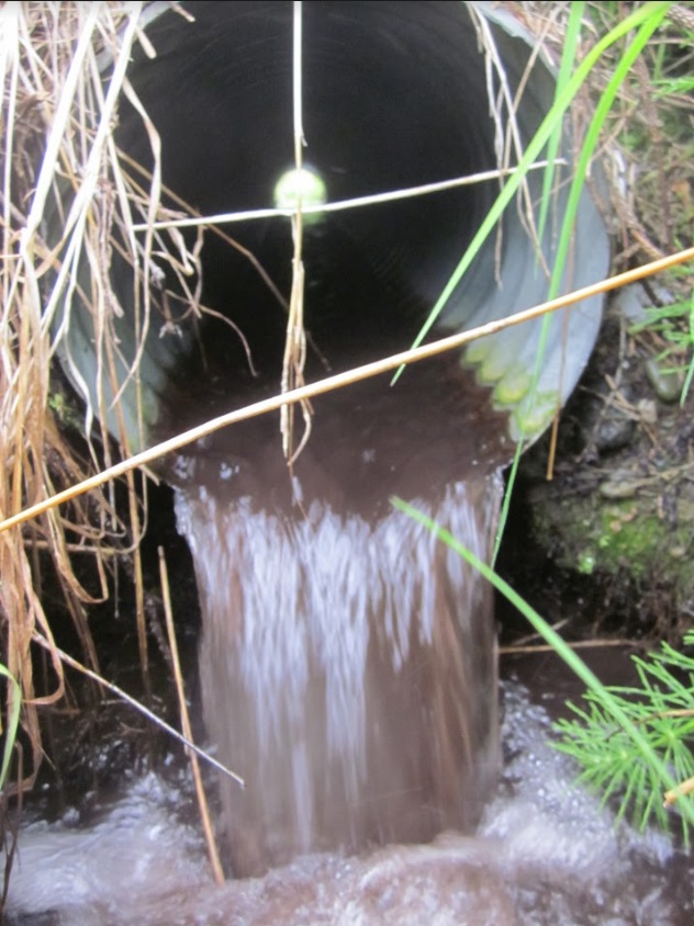
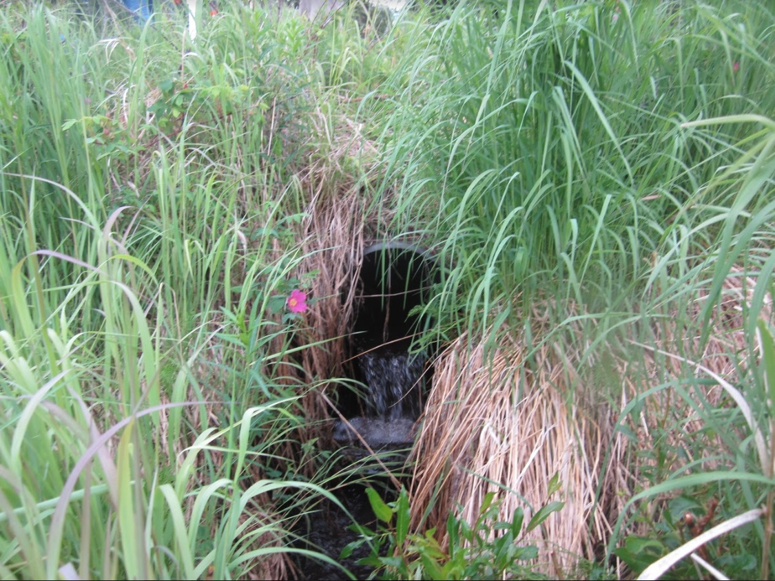
- Outfall height red
- Culvert is poorly aligned
Comments: Culvert assessment and photos submitted by Kenai Watershed Forum.
Culvert Measurements
| ID: 1 | Structure Type: Circular pipe (Corrugated aluminum) | Fish Passage Rating: | |||||||||||||||||||||||||||||||||||||||||
|
|
|
|||||||||||||||||||||||||||||||||||||||||
Culvert Observations:
|
|||||||||||||||||||||||||||||||||||||||||||
Stream Measurements
|
|
| Stream Width Type | Distance From Crossing (ft) |
Stream Width (ft) |
|---|---|---|
| Downstream ordinary high water | 17.0 | 2.00 |
| Downstream ordinary high water | 33.0 | 1.00 |
| Downstream ordinary high water | 51.0 | 2.20 |
| Upstream ordinary high water | 20.0 | 1.40 |
| Upstream ordinary high water | 40.0 | 1.90 |
| Upstream ordinary high water | 100.0 | 1.90 |
| Upstream ordinary high water | 110.0 | 2.00 |
Elevations
| Locator ID | Culvert Number |
River Distance (ft)1 |
Distance From Crossing (ft)2 |
Relative Elevation (ft) |
|---|---|---|---|---|
| Road Elev | 100.92 | |||
| D/S Thalweg | 0.00 | 96.03 | ||
| D/S Water Surface Elev | 0.00 | 96.98 | ||
| D/S Thalweg | 80.00 | 96.86 | ||
| D/S Water Surface Elev | 80.00 | 97.26 | ||
| D/S Water Surface Elev | 91.00 | 97.23 | ||
| D/S Thalweg | 91.00 | 96.78 | ||
| D/S Tailcrest or 1st Thalweg | 128.00 | 97.13 | ||
| D/S Water Surface Elev | 128.00 | 97.65 | ||
| Outlet Pool Water Elev | 131.30 | 97.65 | ||
| Max Pool Depth | 131.30 | 97.39 | ||
| Outlet Invert (on pipe) | 132.00 | 98.47 | ||
| D/S Water Surface Elev | 132.00 | 98.51 | ||
| Outlet Culvert Top | 132.00 | 99.72 | ||
| Inlet Culvert Top | 152.00 | 99.85 | ||
| U/S Water Surface Elev | 152.00 | 98.96 | ||
| Inlet Culvert Invert (on pipe) | 152.00 | 98.43 | ||
| U/S Thalweg (1st resting) | 158.00 | 98.40 | ||
| U/S Water Surface Elev | 158.00 | 98.94 | ||
| U/S Water Surface Elev | 215.00 | 98.95 | ||
| U/S Thalweg | 215.00 | 98.51 | ||
| U/S Thalweg | 233.00 | 98.31 | ||
| U/S Water Surface Elev | 233.00 | 99.08 | ||
| U/S Water Surface Elev | 302.00 | 99.16 | ||
| U/S Thalweg | 302.00 | 98.74 |
Notes:
- River distance is measured continuously throughout the survey reach along the thalweg of the stream.
- Measured from each end of the crossing along the thalweg of the stream.
Fish Sampling Efforts
No fish sampling occurred during this survey.
Fish Observations
No fish observations occurred during this survey.
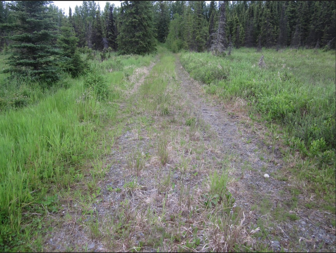
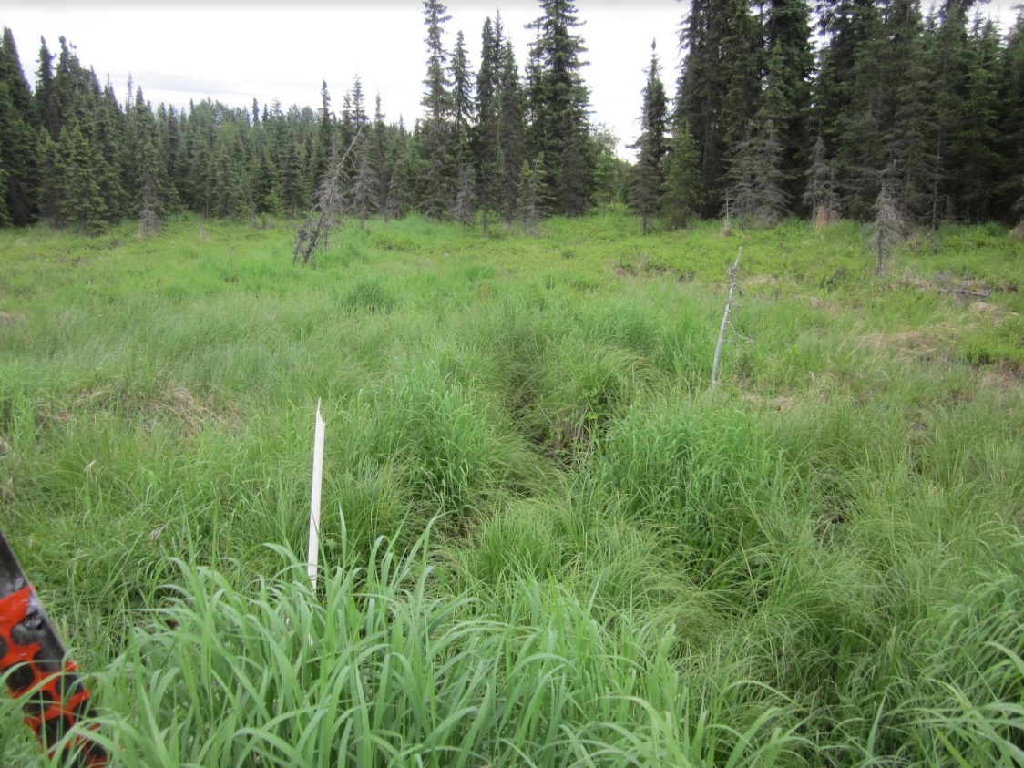
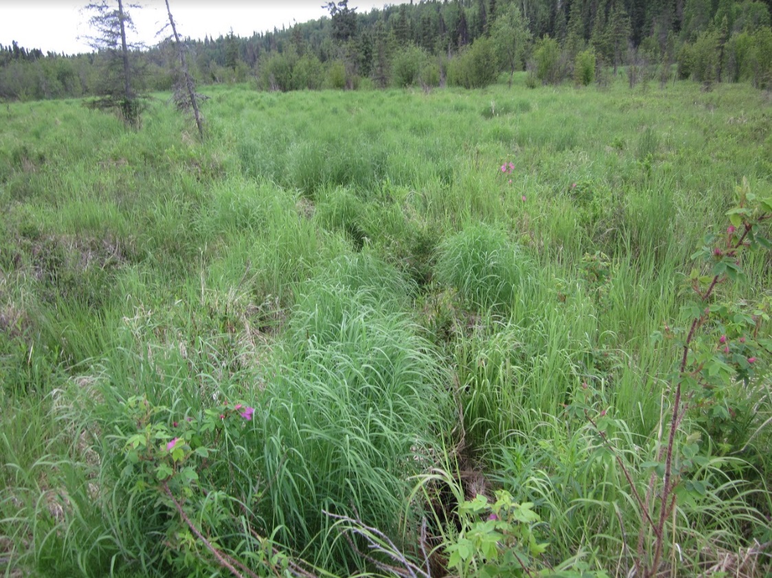
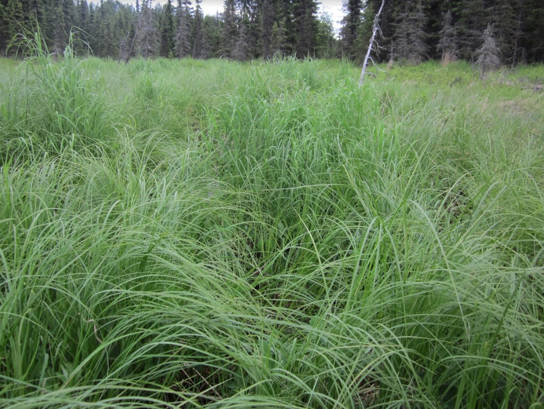
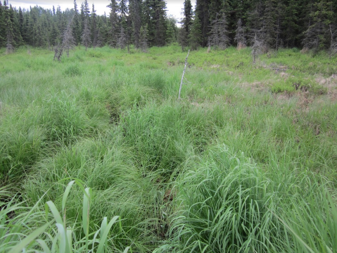
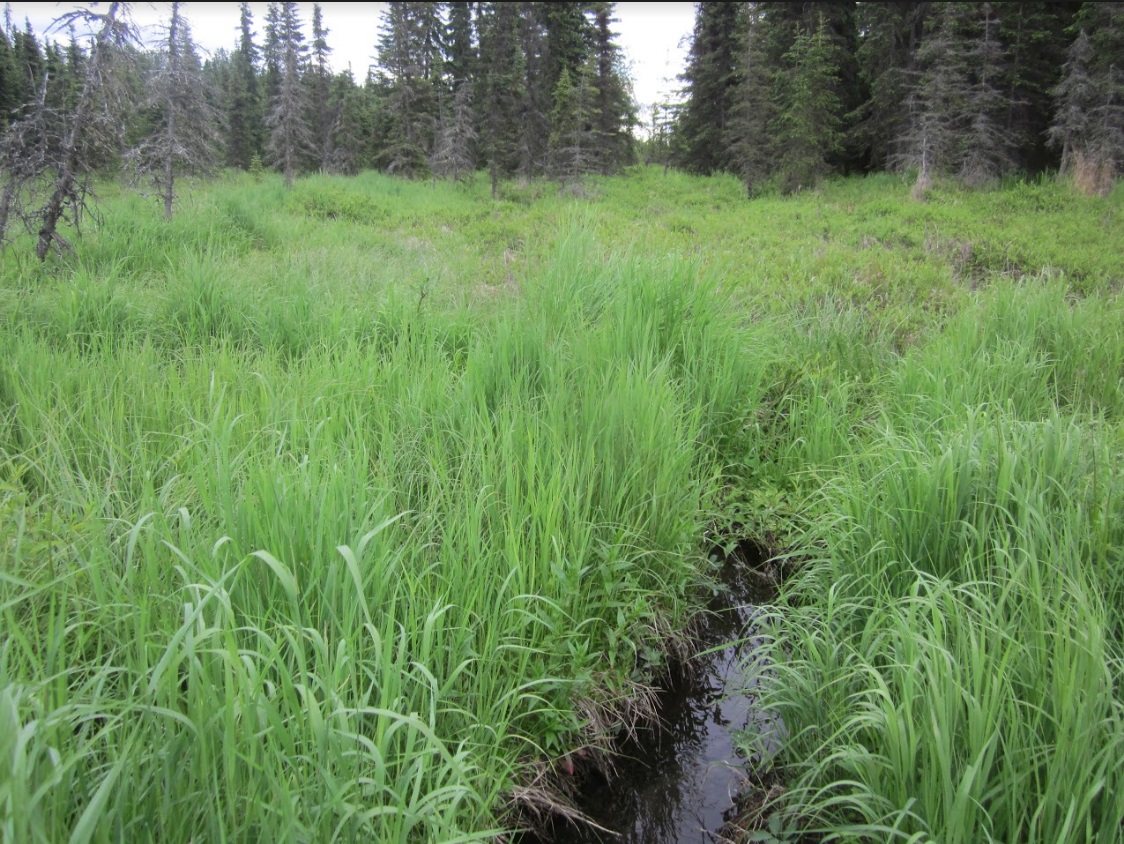
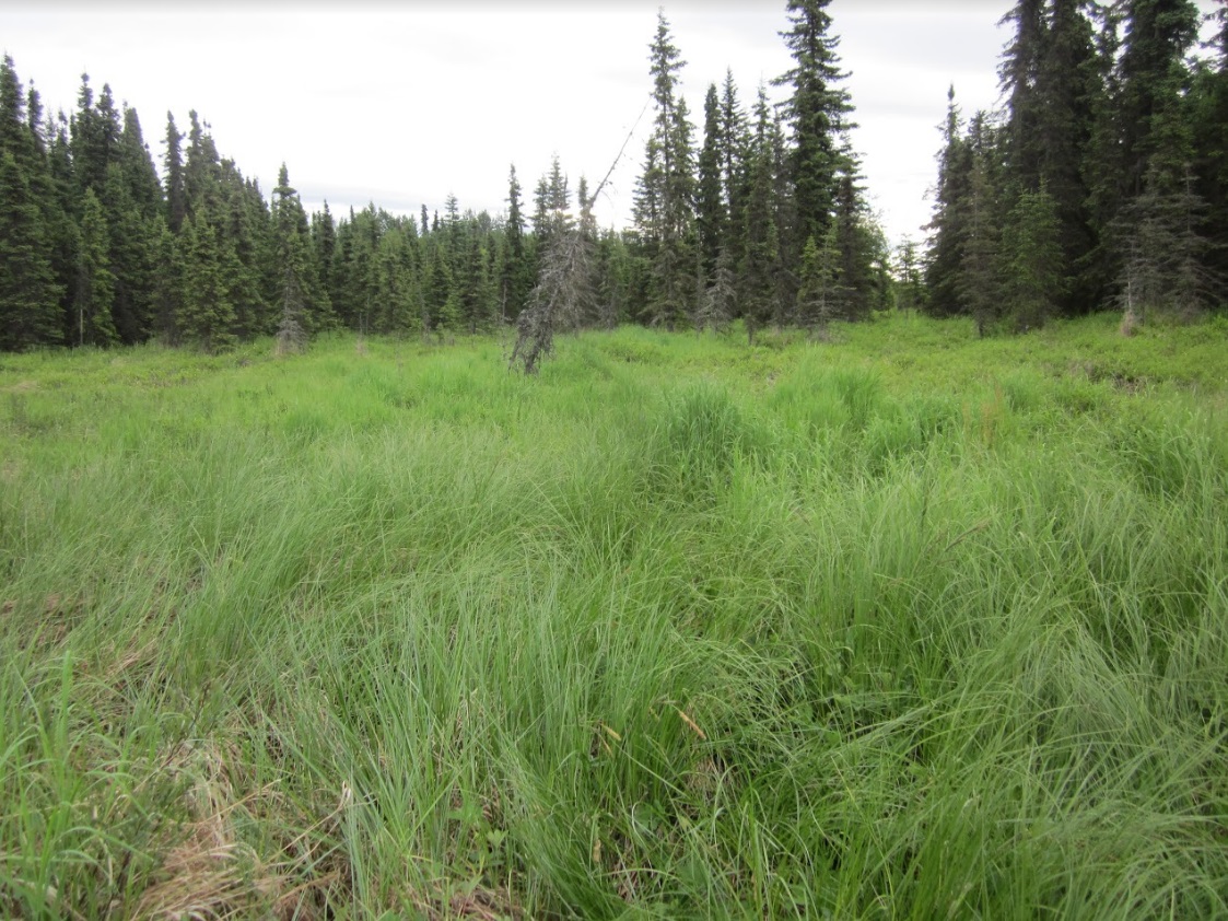
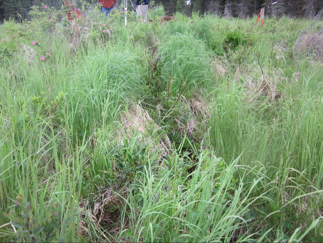
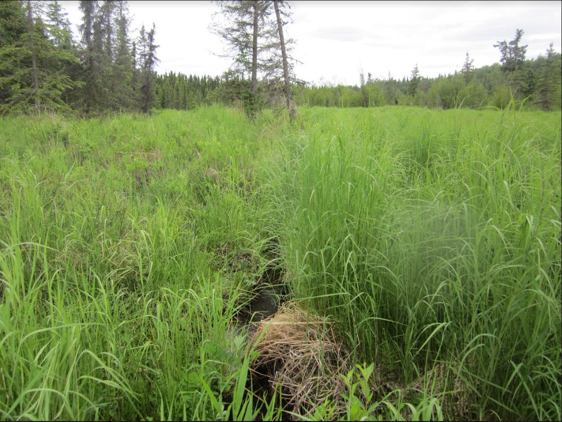
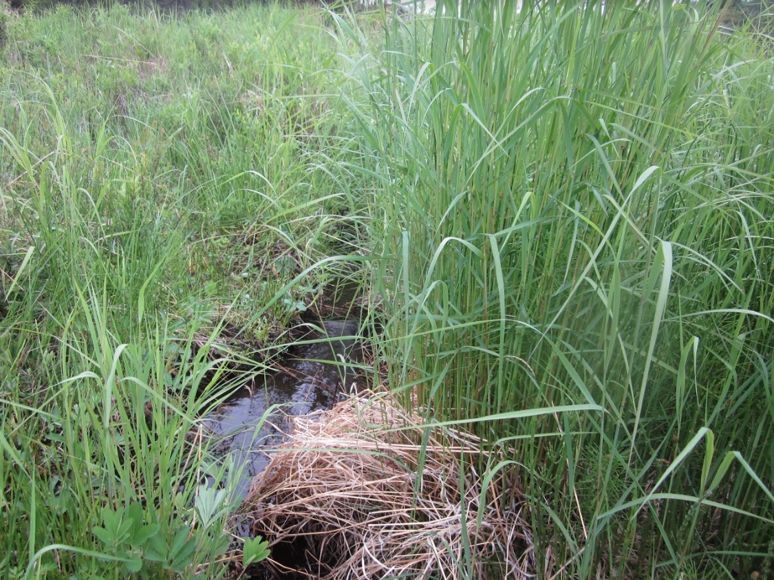
Photos
Questions or comments about this report can be directed to dfg.dsf.webmaster@alaska.gov