Fish Passage Site 20303804
Coordinates (dec. deg.): 60.54239°, -151.16998°
Legal Description: S005N011W11
Region: South Central
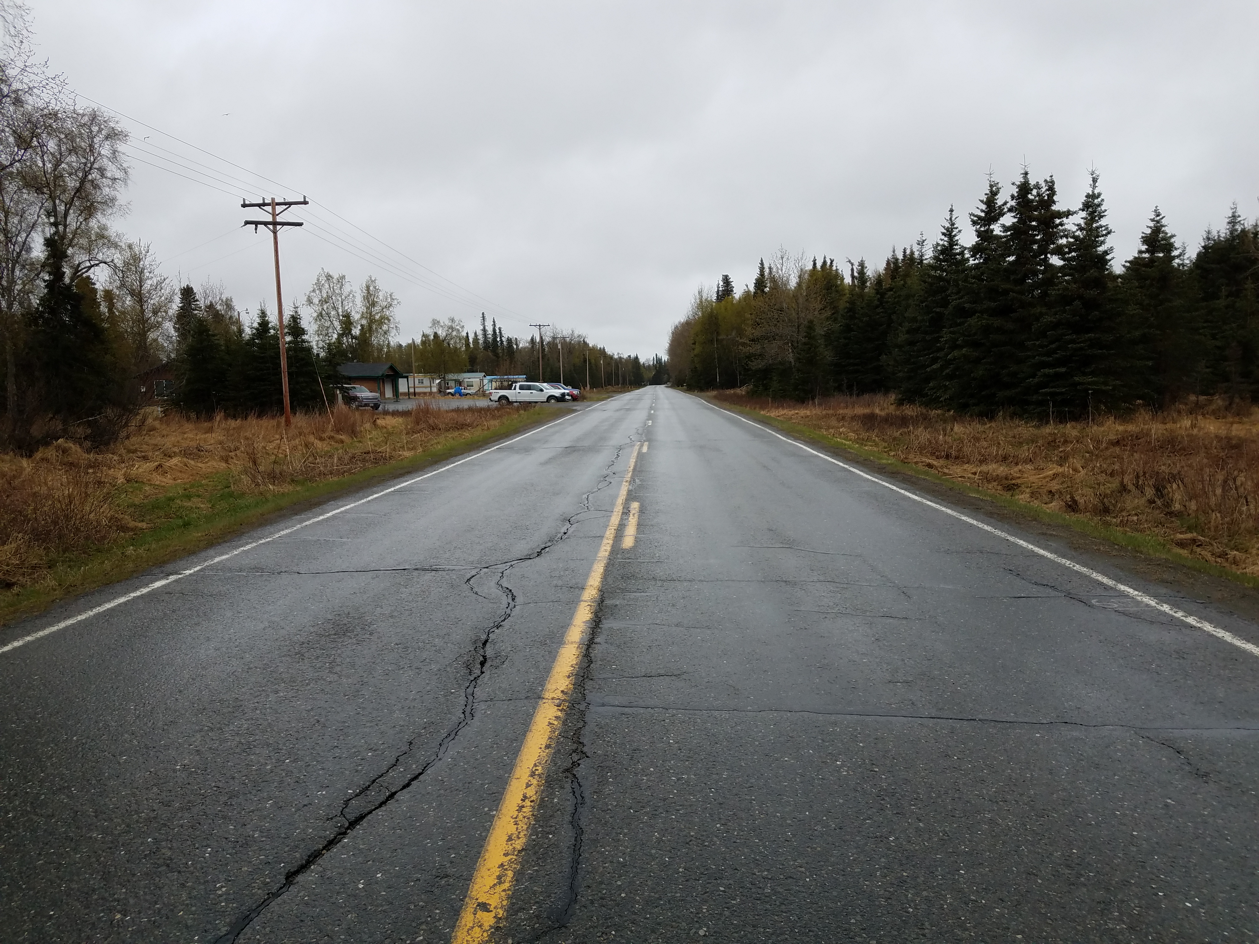
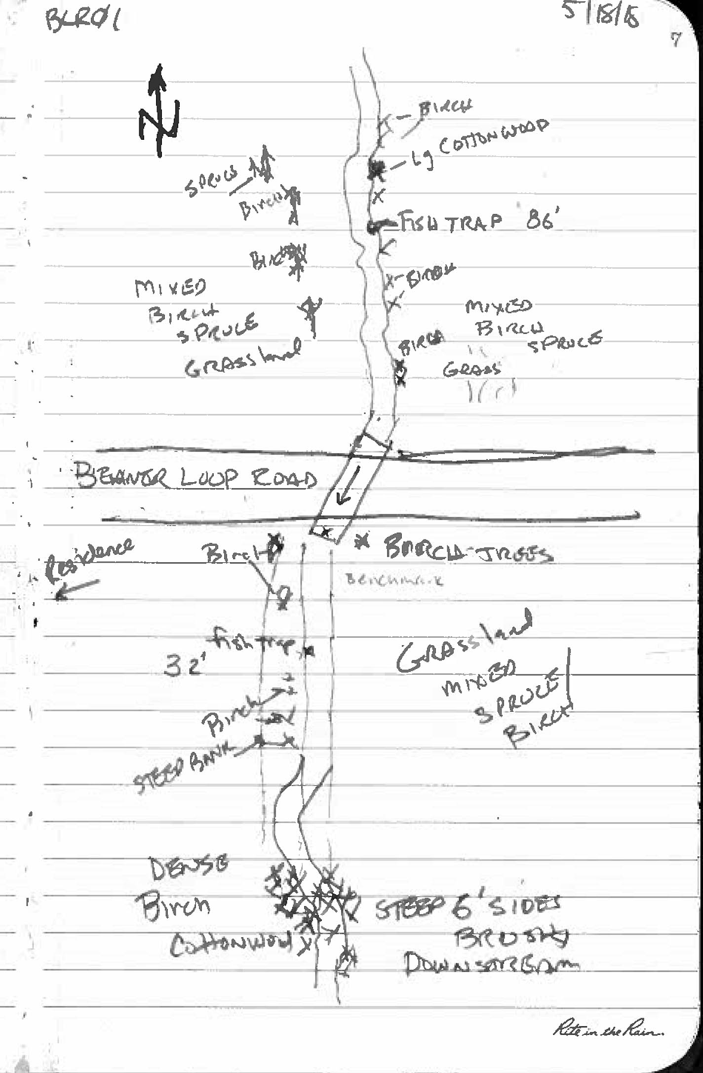
Road Name: Beaver Loop Road
Datum: NAD83
Quad Name / ITM: Kenai C-4
AWC Stream #: 244-30-10010-2015
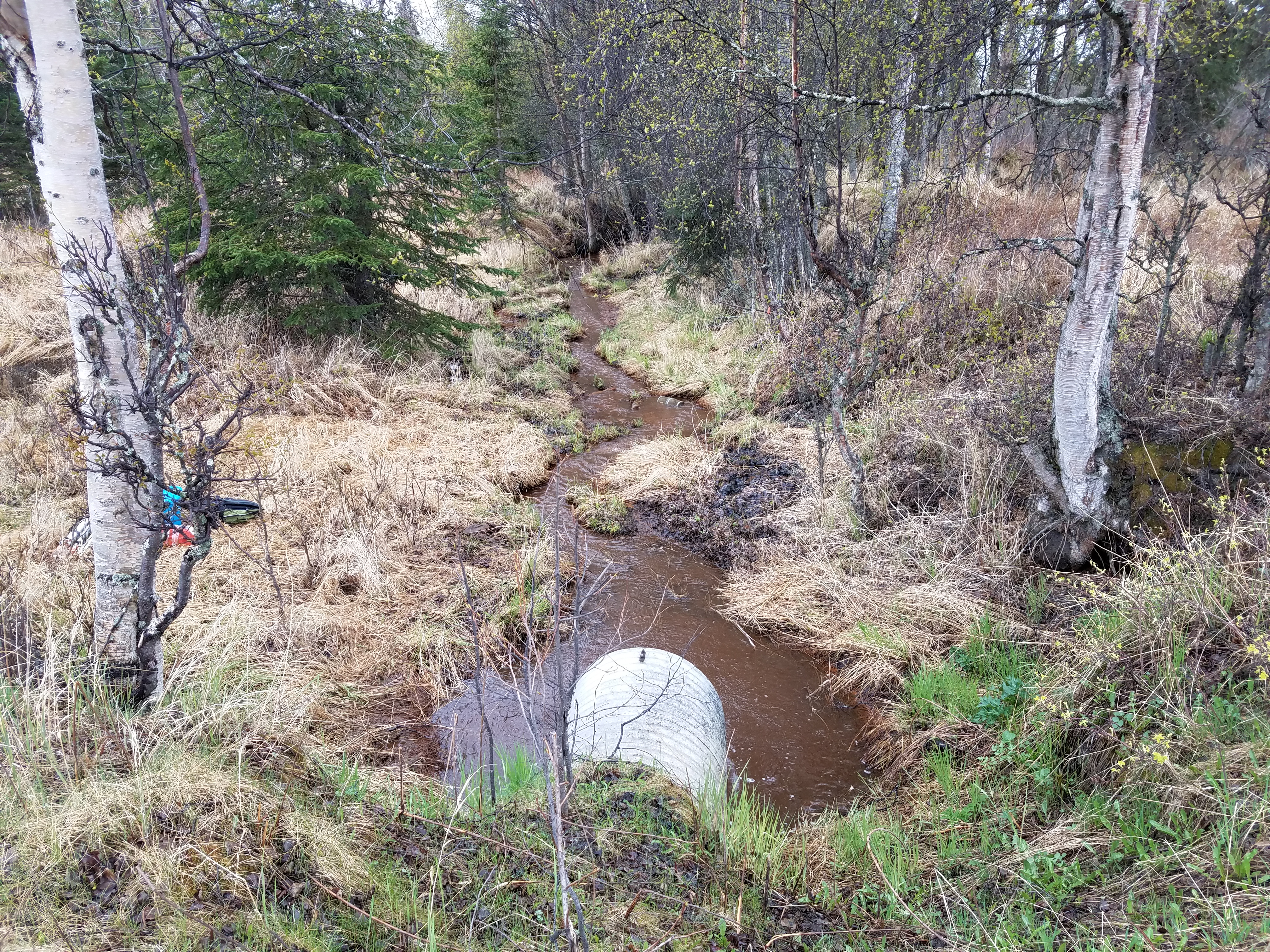
Stream Name: Unnamed
Elevation:
Site Comments: None
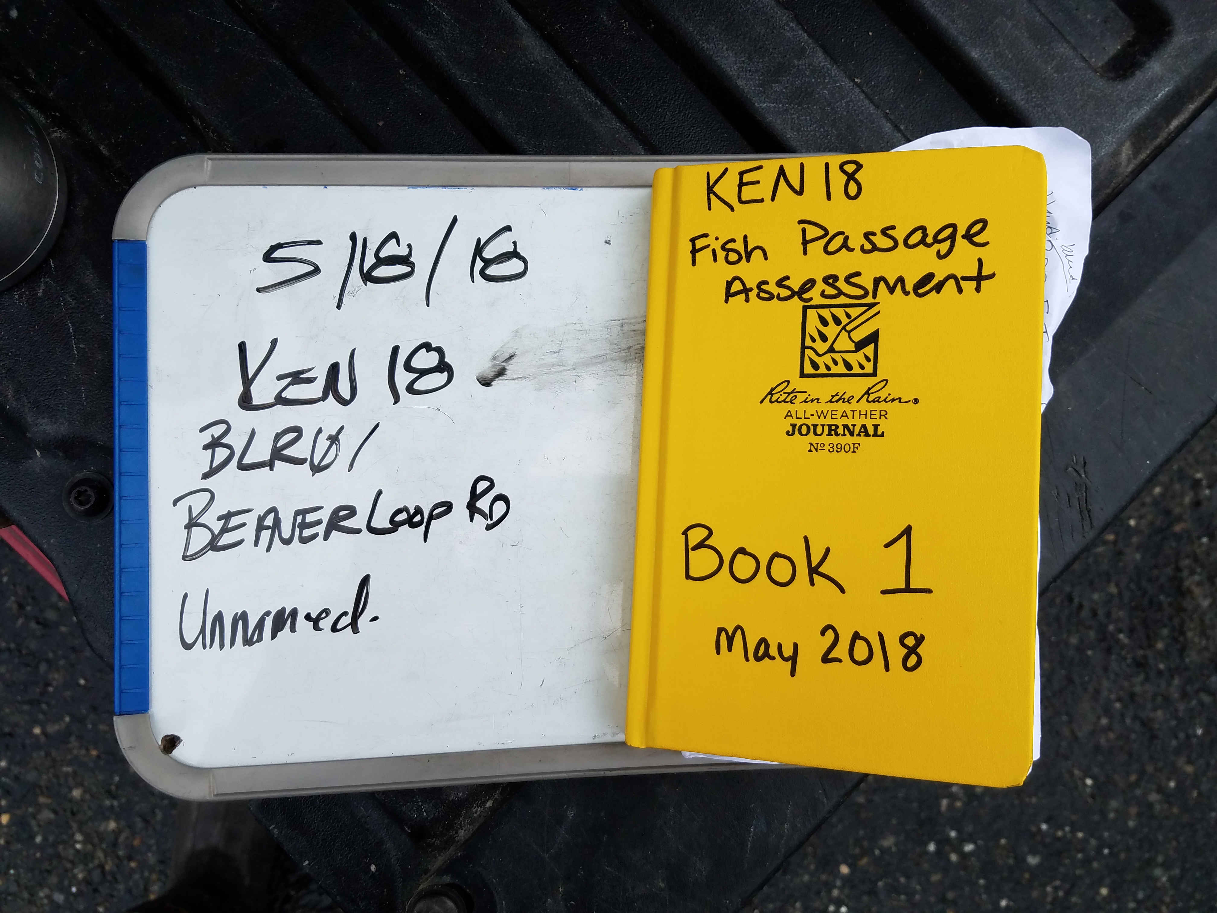
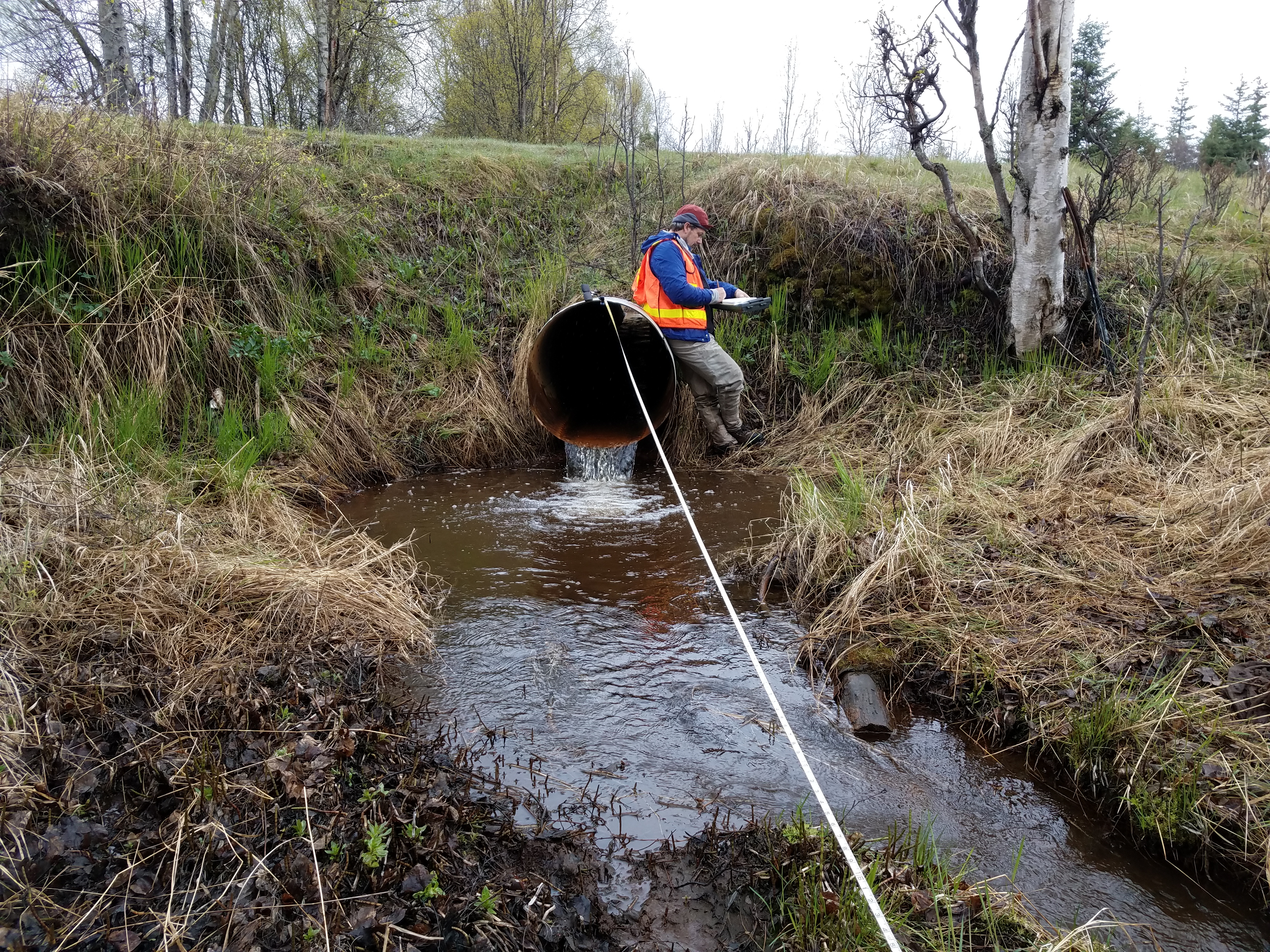
Survey KEN18-BLR01
Observers: Maggie Harings, Tyler Barber, John Lowin
Overall Fish Passage Rating:
Tidal: No
Backwatered: No
Step Pools: No
Construction Year:
Site Observations:
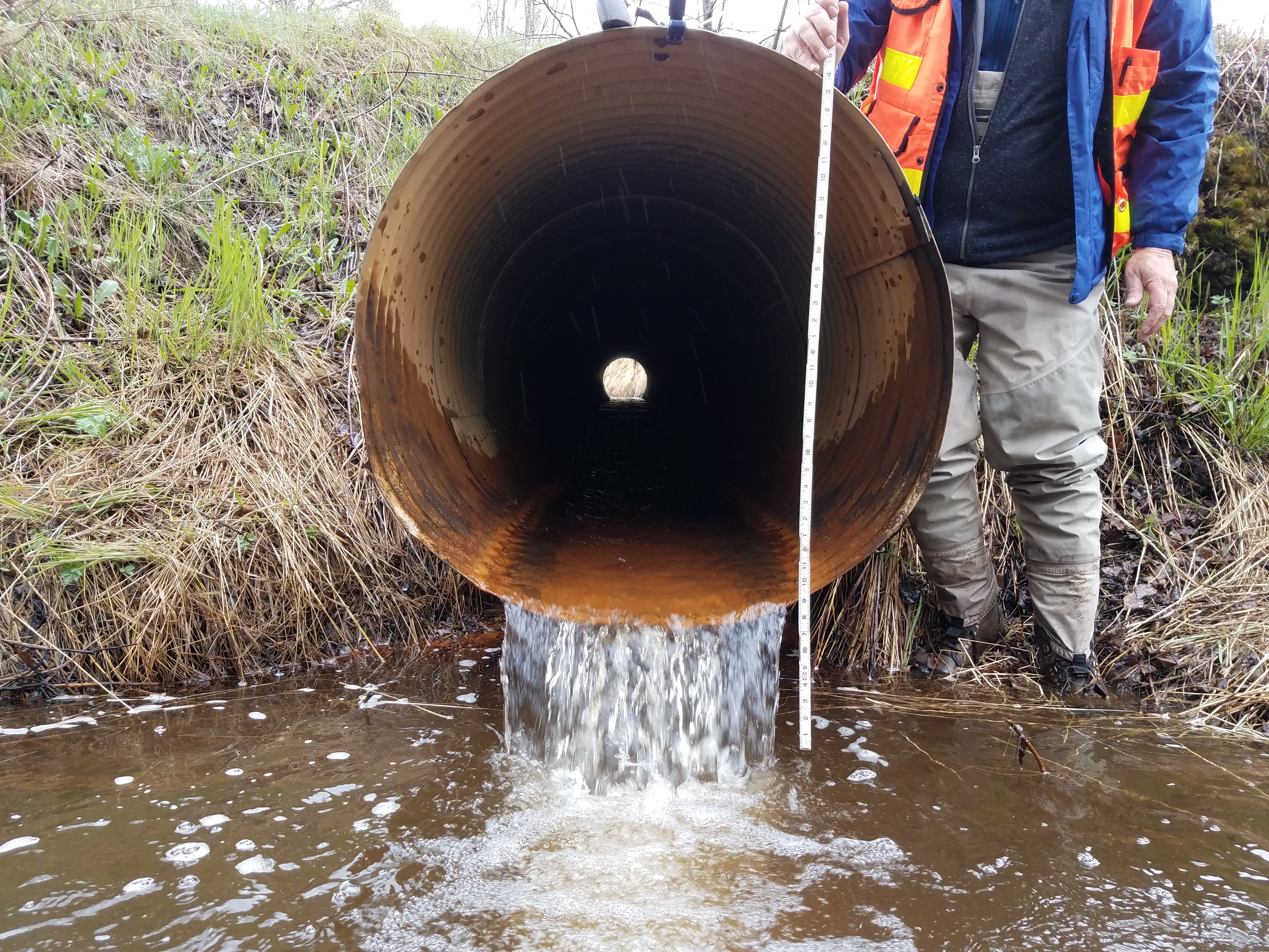
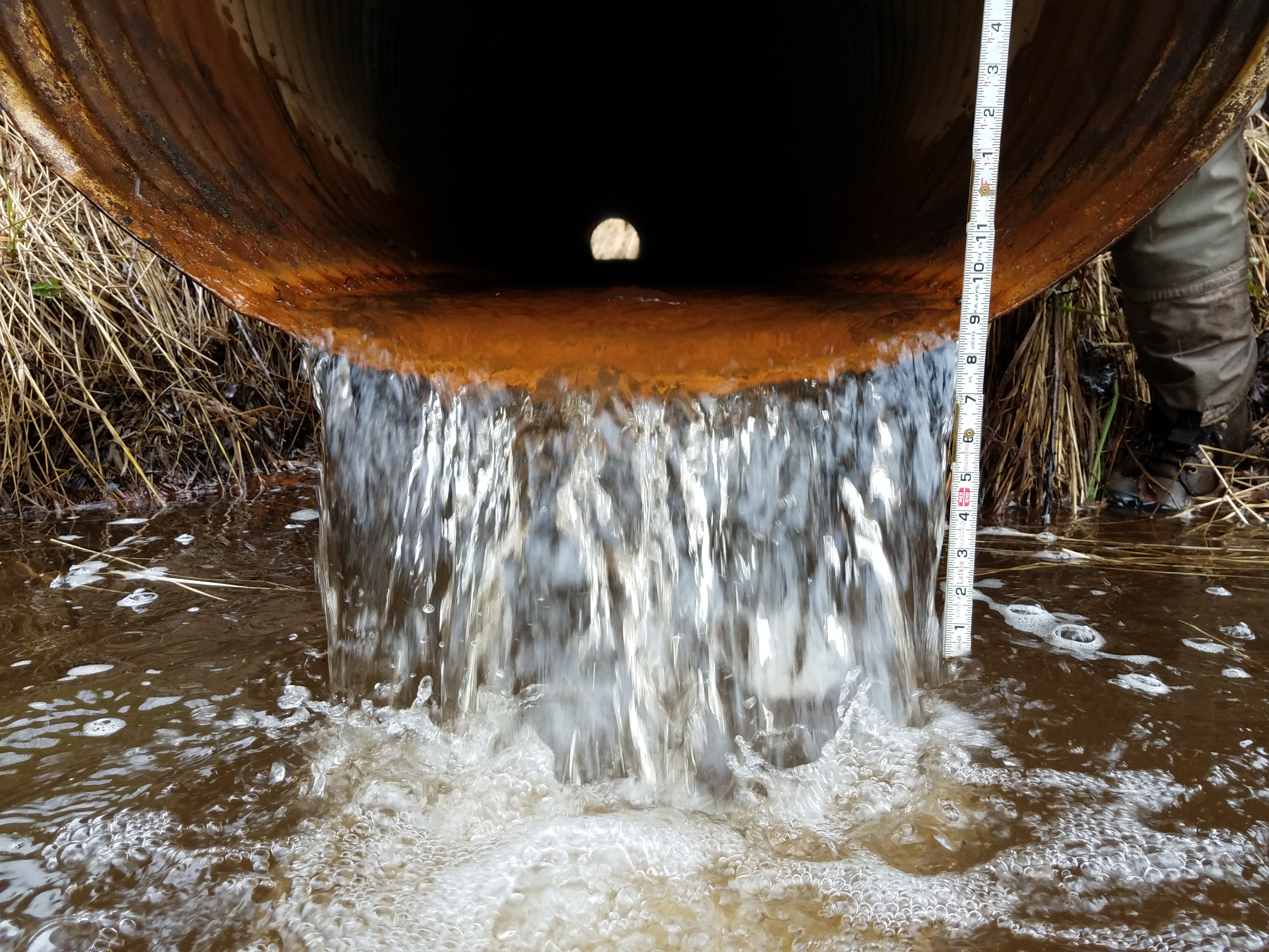
- Culvert gradient red
- Outfall height red
- Constriction ratio gray
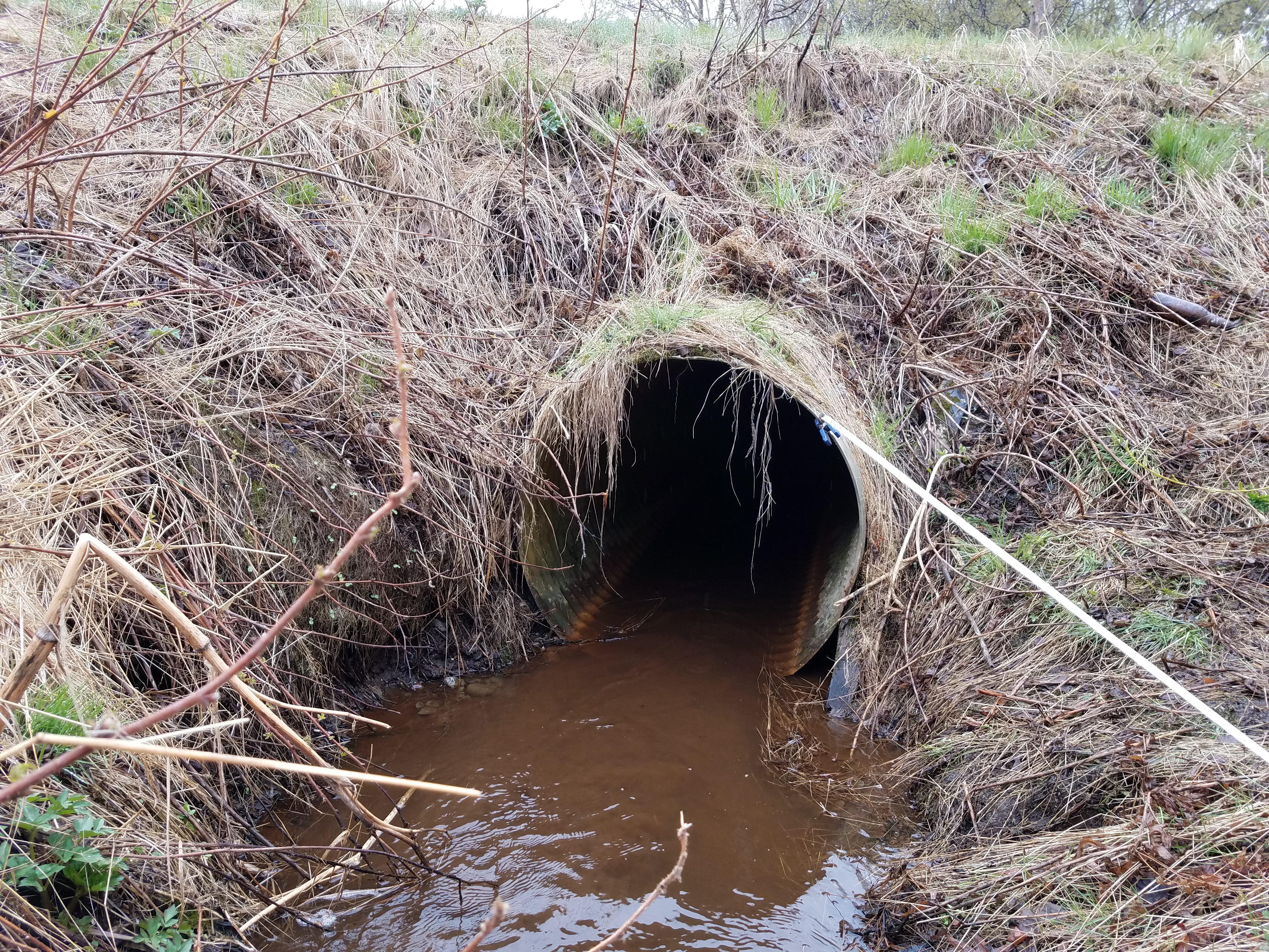
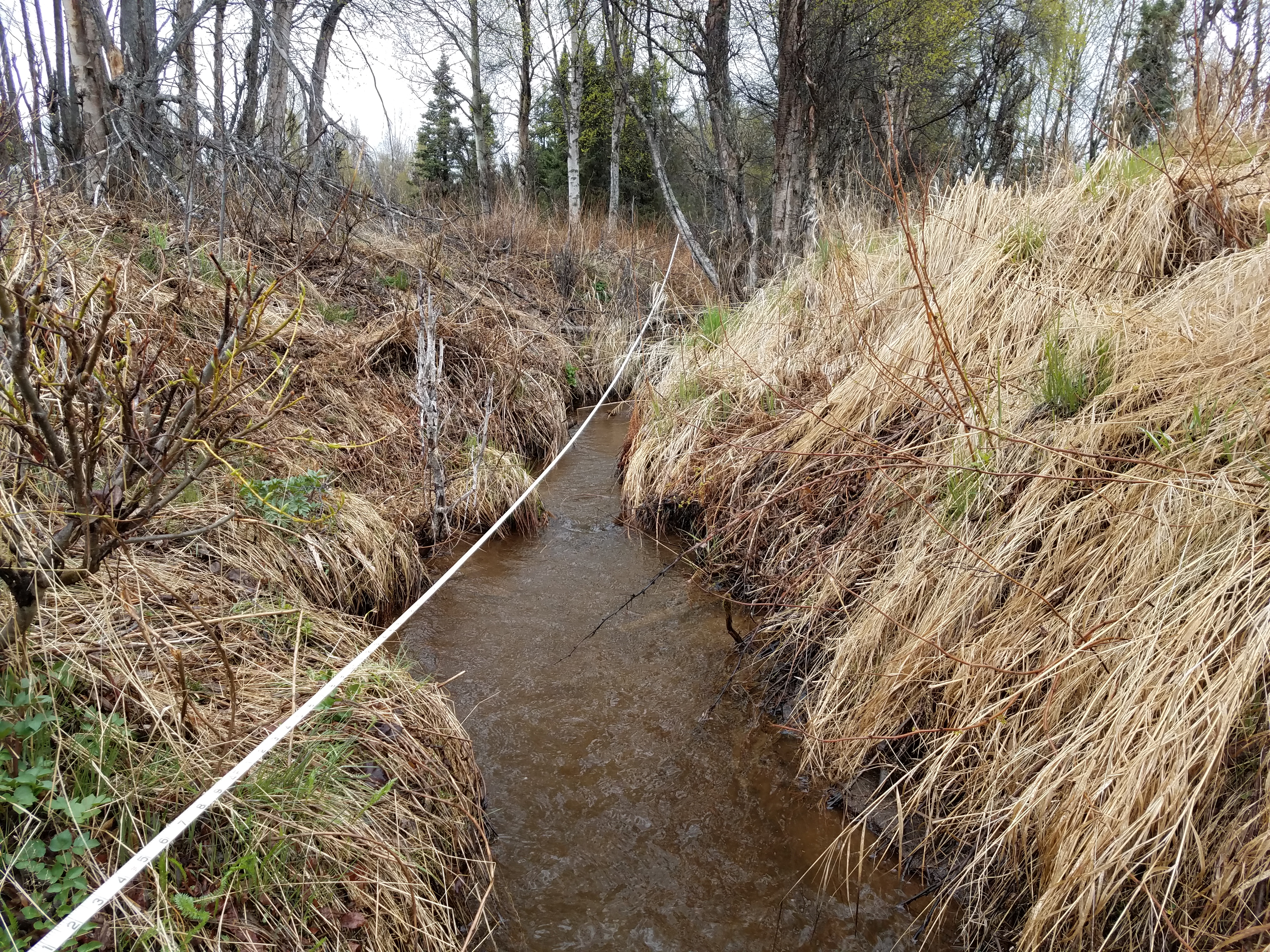
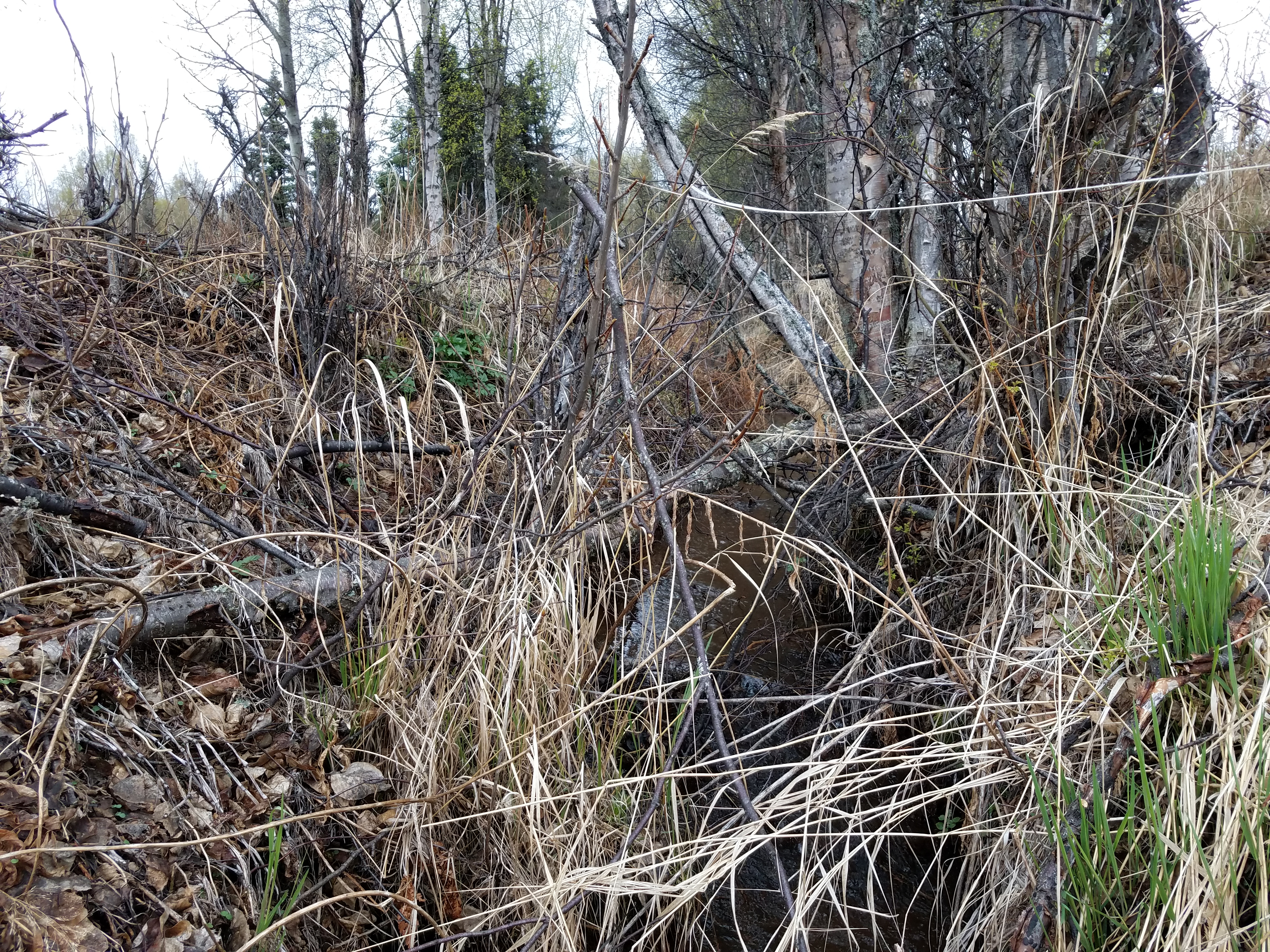
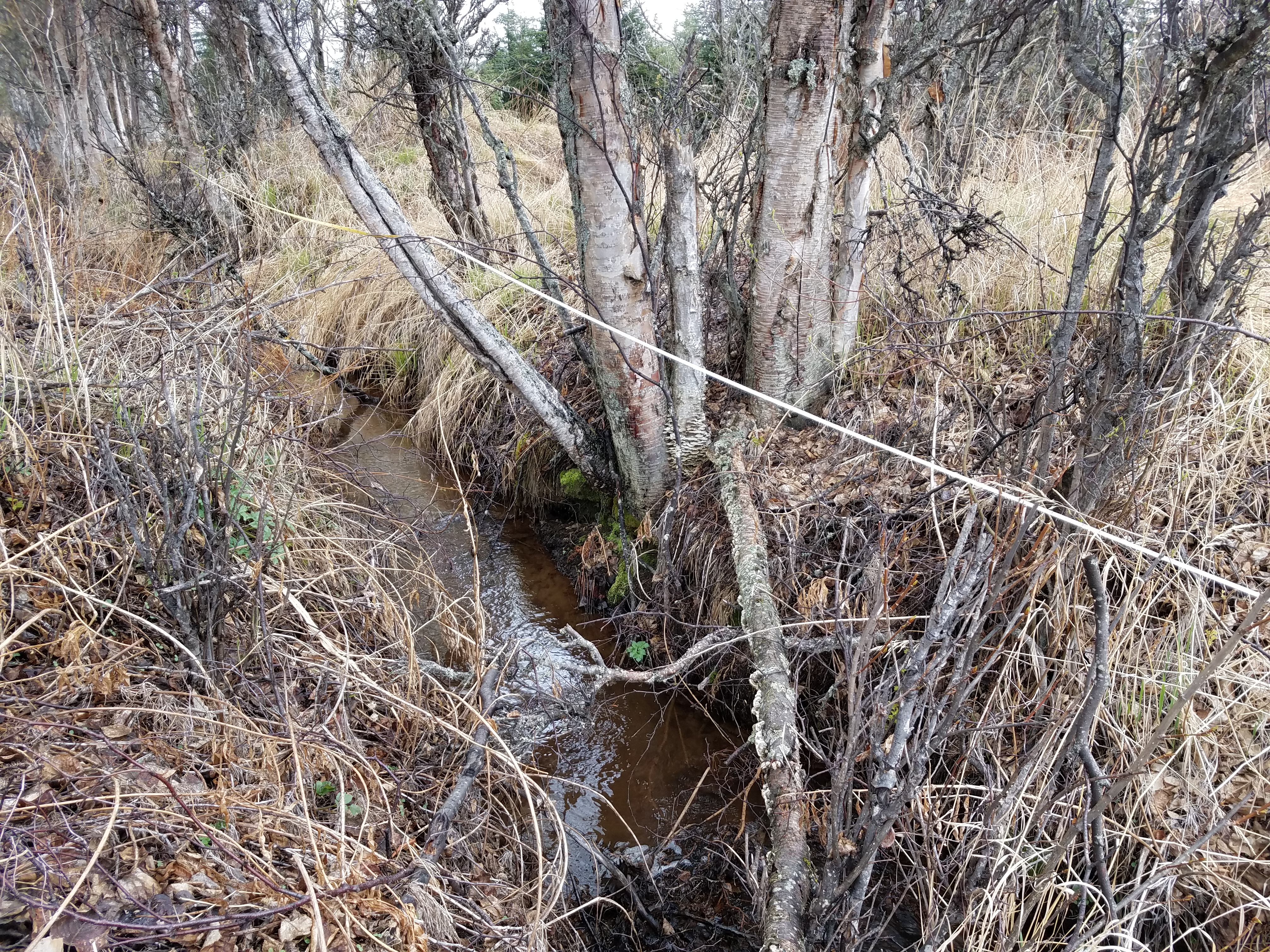
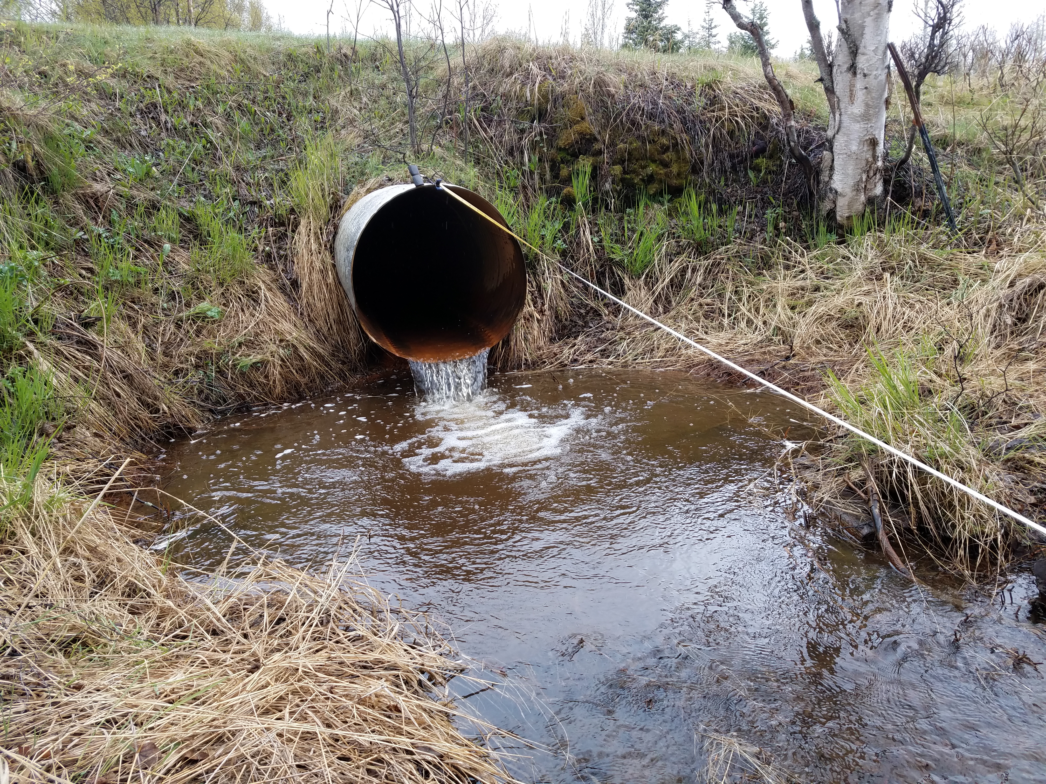
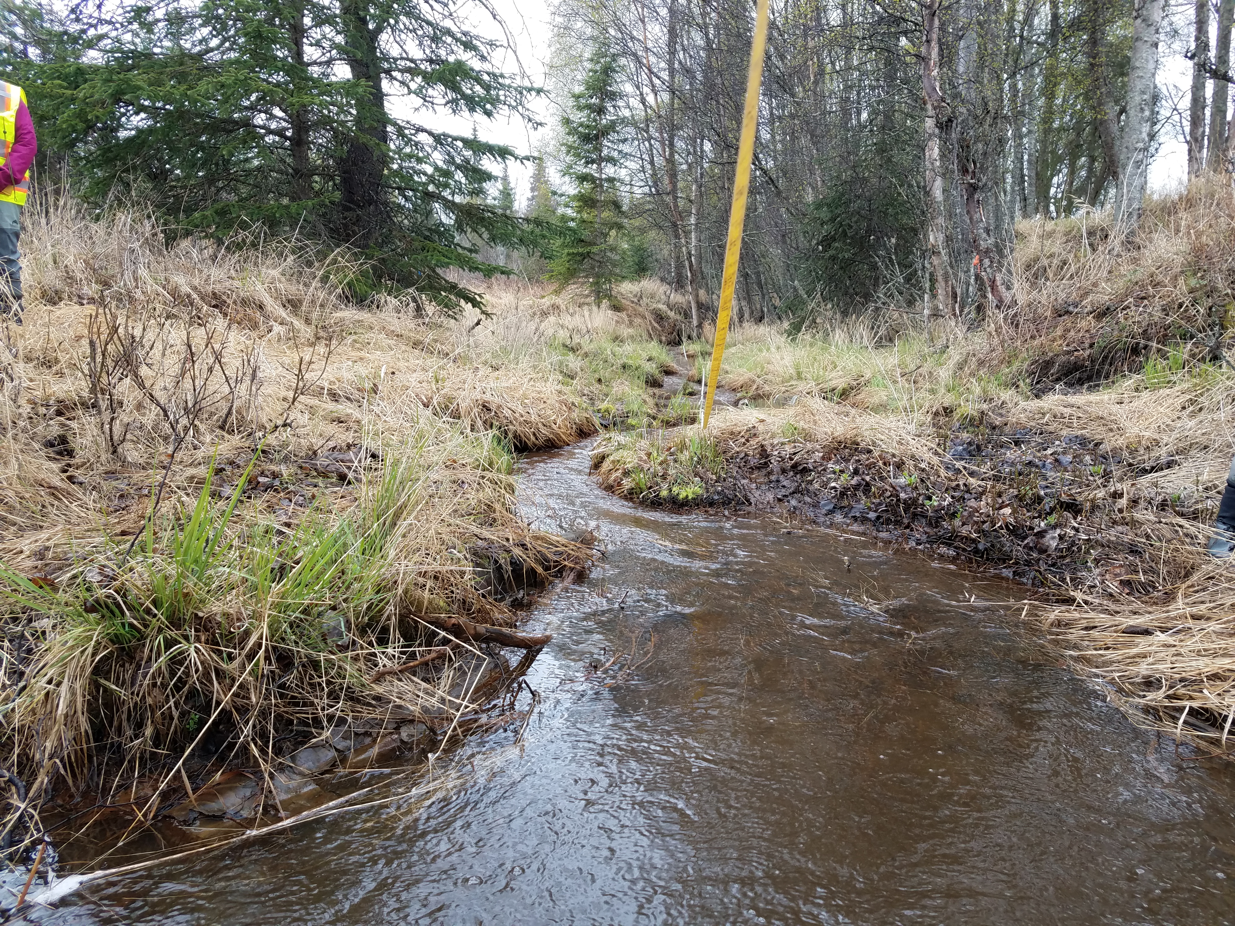
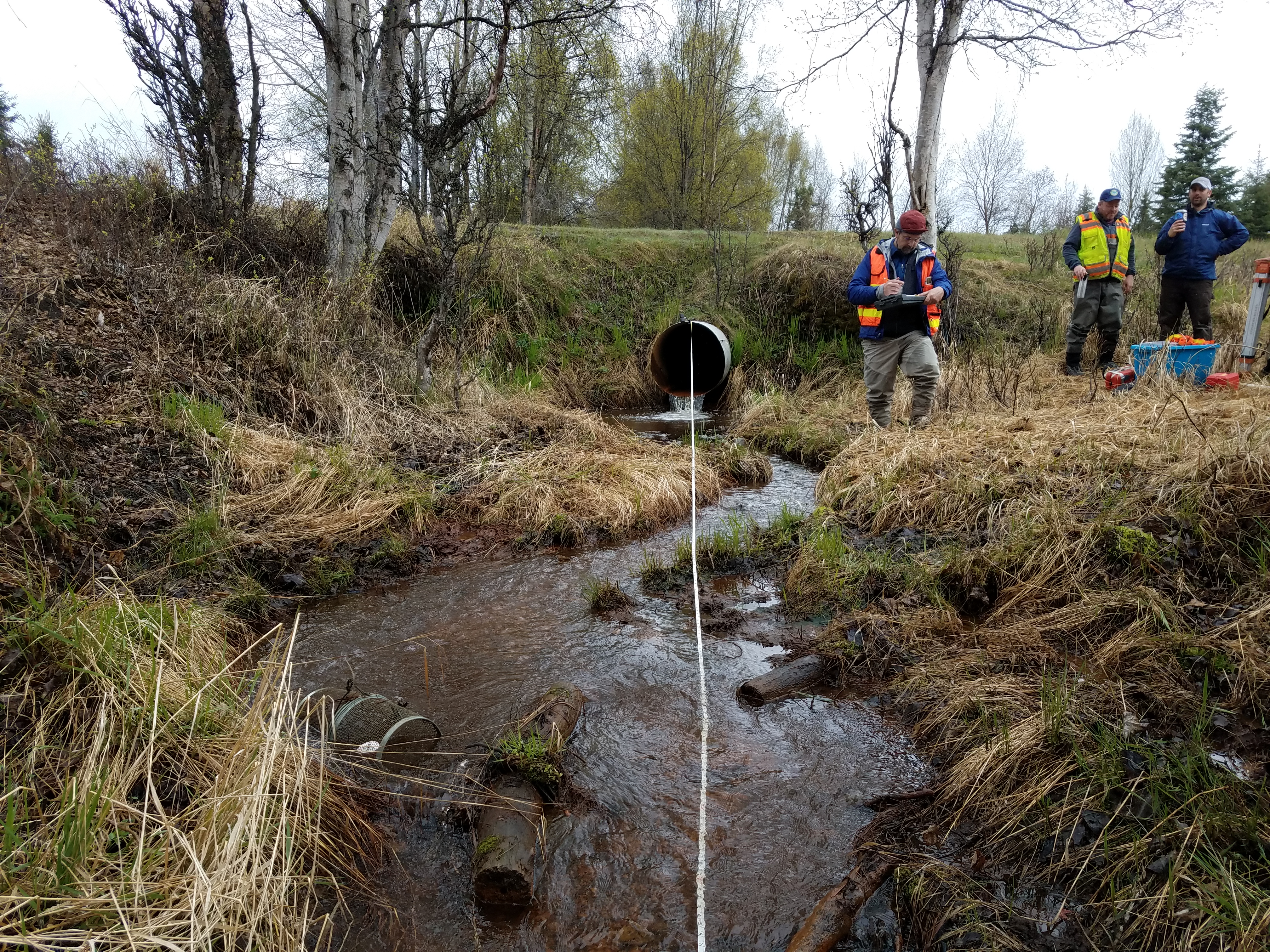
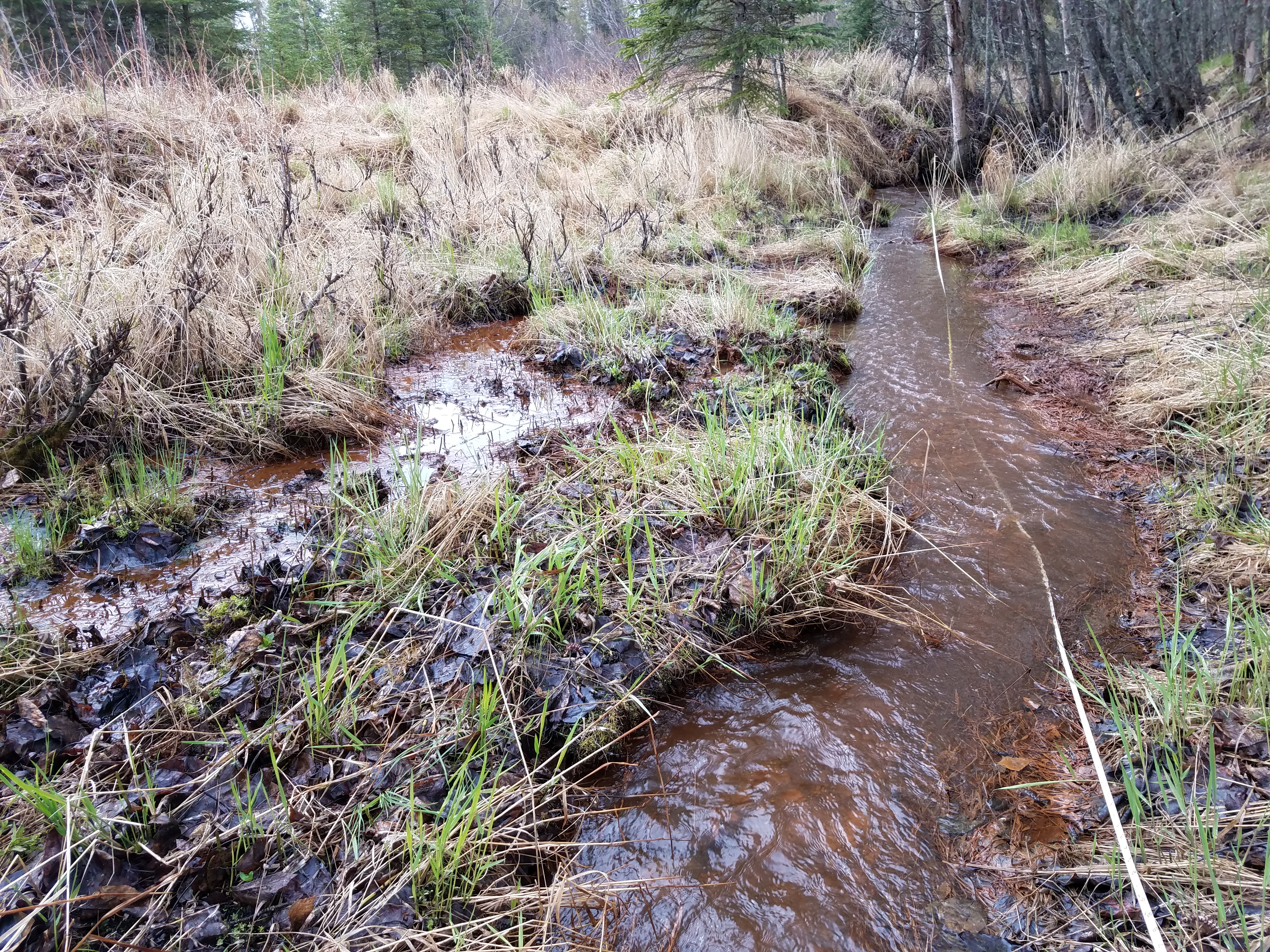
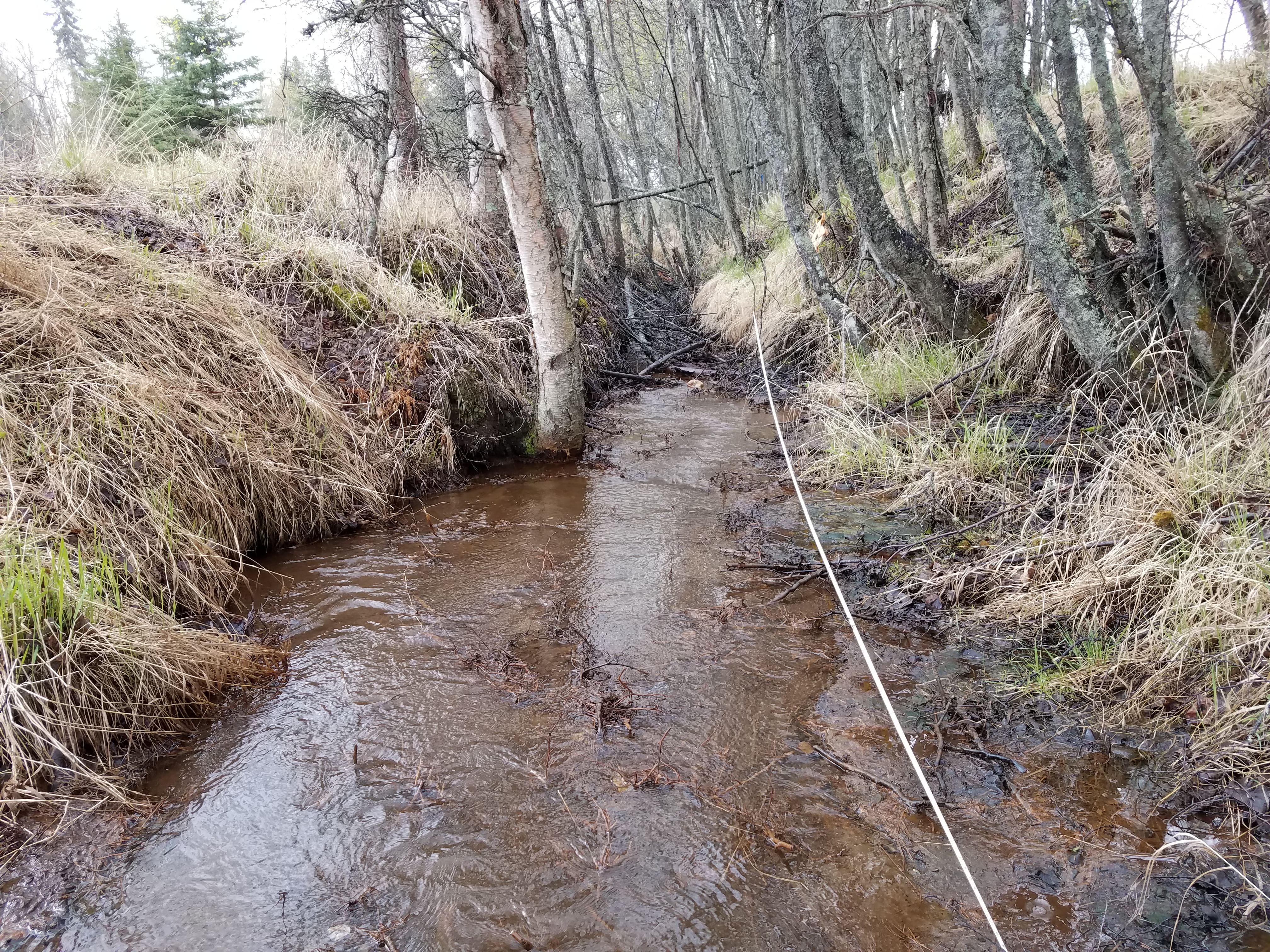
Comments: Culvert assessment and photos submitted by the Kenai Watershed Forum. Stream has been ditched upstream and downstream from culvert.
Culvert Measurements
| ID: 1 | Structure Type: Circular pipe (Corrugated steel) | Fish Passage Rating: | |||||||||||||||||||||||||||||||||||||||||
|
|
|
|||||||||||||||||||||||||||||||||||||||||
Culvert Observations:
|
|||||||||||||||||||||||||||||||||||||||||||
Stream Measurements
|
|
| Stream Width Type | Distance From Crossing (ft) |
Stream Width (ft) |
|---|---|---|
| Upstream ordinary high water | 44.0 | 4.00 |
| Upstream ordinary high water | 71.0 | 4.00 |
| Upstream ordinary high water | 120.0 | 8.00 |
Elevations
| Locator ID | Culvert Number |
River Distance (ft)1 |
Distance From Crossing (ft)2 |
Relative Elevation (ft) |
|---|---|---|---|---|
| Road Elev | 105.25 | |||
| D/S Water Surface Elev | 0.00 | 94.13 | ||
| D/S Thalweg | 0.00 | 94.64 | ||
| D/S Thalweg | 23.00 | 94.96 | ||
| D/S Water Surface Elev | 23.00 | 95.40 | ||
| D/S Thalweg | 70.00 | 95.79 | ||
| D/S Water Surface Elev | 70.00 | 96.07 | ||
| D/S Water Surface Elev | 90.00 | 96.38 | ||
| D/S Tailcrest or 1st Thalweg | 90.00 | 96.01 | ||
| D/S Water Surface Elev | 96.00 | 96.39 | ||
| Max Pool Depth | 96.00 | 94.75 | ||
| Outlet Invert (on pipe) | 98.00 | 96.96 | ||
| D/S Water Surface Elev | 98.00 | 97.14 | ||
| Outlet Culvert Top | 98.00 | 99.98 | ||
| Inlet Culvert Top | 159.00 | 100.95 | ||
| Inlet Culvert Invert (on pipe) | 159.00 | 97.89 | ||
| U/S Water Surface Elev | 159.00 | 98.30 | ||
| U/S Water Surface Elev | 175.00 | 98.34 | ||
| U/S Thalweg | 175.00 | 97.76 | ||
| U/S Water Surface Elev (Stream gradient lower) | 186.50 | 98.45 | ||
| U/S Grade Ctrl (Thalweg) | 186.50 | 98.09 | ||
| U/S Grade Ctrl (Thalweg) | 319.00 | 99.54 | ||
| U/S Water Surface Elev (Stream gradient upper) | 319.00 | 99.91 |
Notes:
- River distance is measured continuously throughout the survey reach along the thalweg of the stream.
- Measured from each end of the crossing along the thalweg of the stream.
Fish Sampling Efforts
| Gear Type: Minnow Trap (A) | Trap Duration(h): 3.5 | |
| Comments: Trap set about 86 feet upstream. | ||
| Gear Type: Minnow Trap (B) | Trap Duration(h): 3.6666667 | |
| Comments: Trap set about 10 feet downstream | ||
Fish Observations
| Species: threespine stickleback | Life History: Resident | ||
| Total Fish Observed: 74 | Fish Measured: 16 | Fork Lengths (mm) Min: 58 Max: 85 Mean: 78 | |
| Collected/Observed by Gear Type: Downstream Minnow Trap (74) | |||
| Species: ninespine stickleback | Life History: Resident | ||
| Total Fish Observed: 3 | Fish Measured: 3 | Fork Lengths (mm) Min: 47 Max: 60 Mean: 54 | |
| Collected/Observed by Gear Type: Downstream Minnow Trap (3) | |||
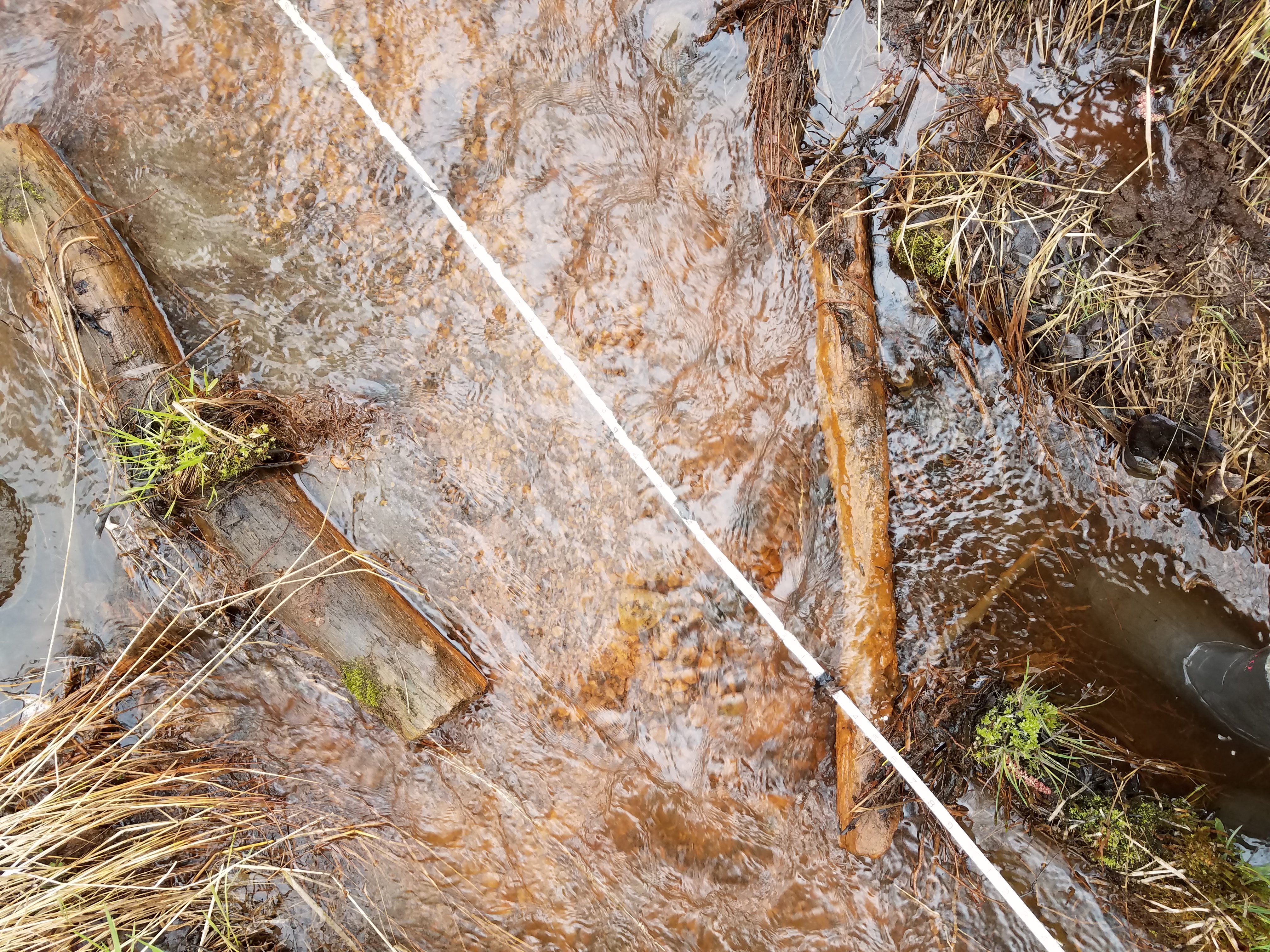
Photos


Questions or comments about this report can be directed to dfg.dsf.webmaster@alaska.gov