Fish Passage Site 20303796
Coordinates (dec. deg.): 60.56121°, -151.22442°
Legal Description: S006N011W33
Region: South Central
Road Name: Kenai Spur Highway
Datum: NAD83
Quad Name / ITM: Kenai C-4
AWC Stream #: 244-30-10010-2003
Stream Name: Unnamed
Elevation:
Site Comments: None
Survey UPDATE-KEN28
Project Supervisor: Gillian O'Doherty, ADFG
Observers: Lucas Byker
Overall Fish Passage Rating:
Tidal: No
Backwatered: No
Step Pools: No
Construction Year: 2016
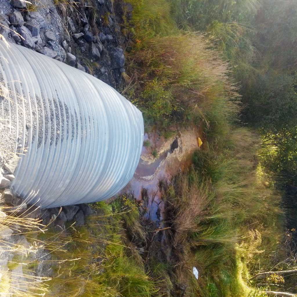
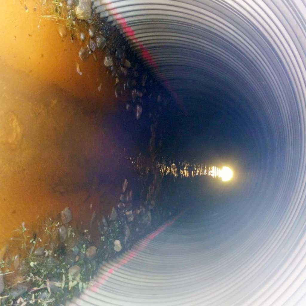
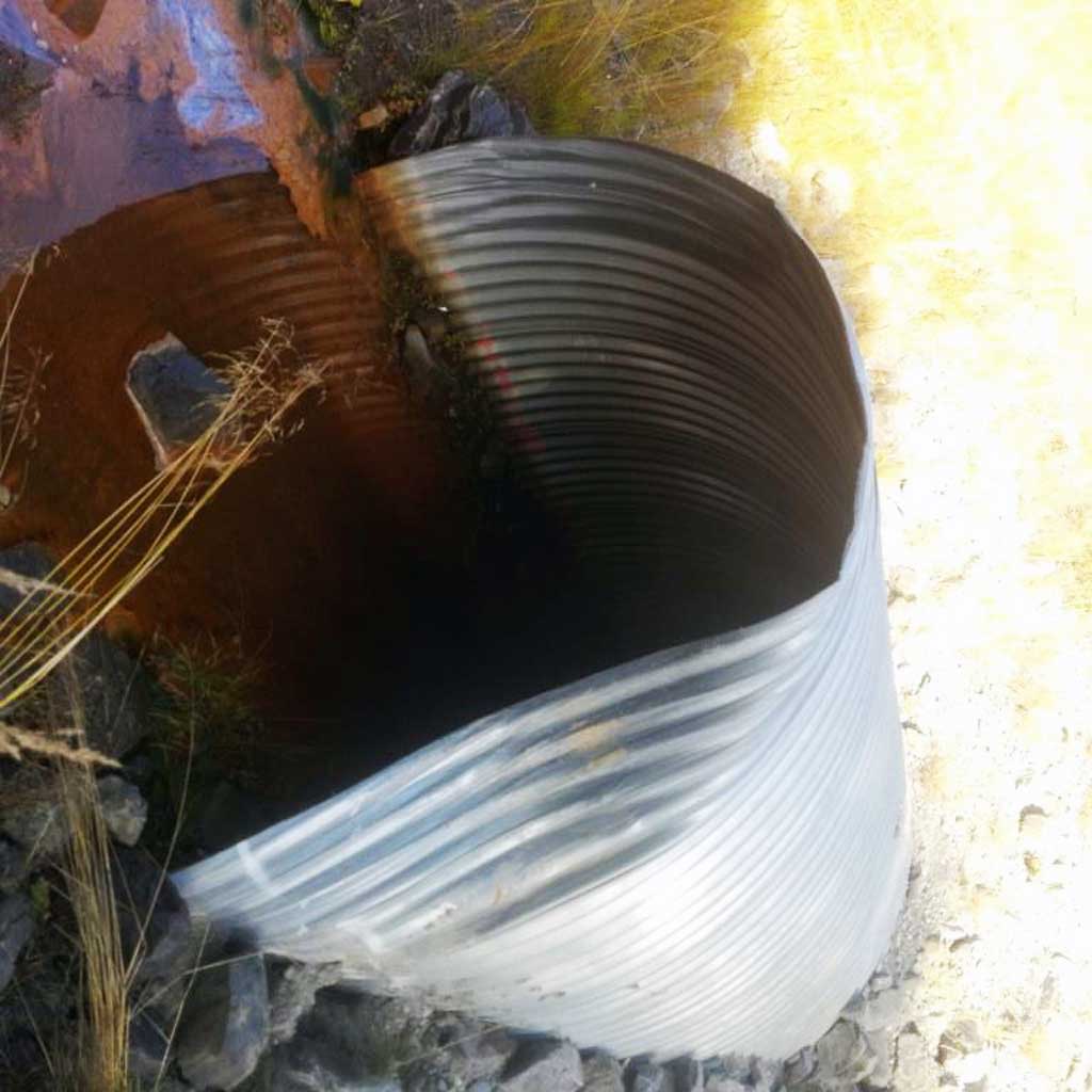
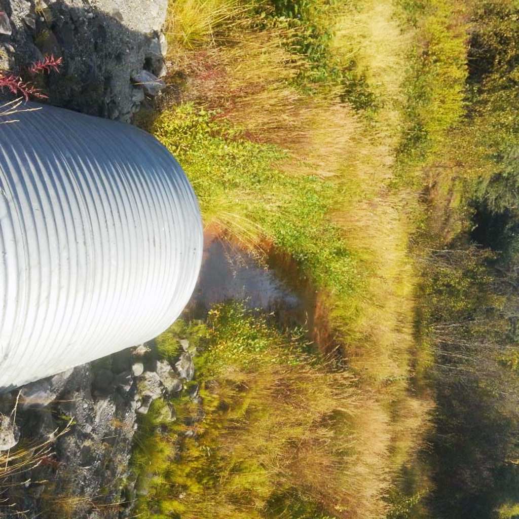
Comments: Site information and photos submitted by Lucas Byker, Habitat Biologist, ADF&G. Low flow at time of site visit. Riprap in stream at both inlet and outlet.
Culvert Measurements
| ID: 1 | Structure Type: Circular pipe (Corrugated steel) | Fish Passage Rating: | |||||||||||||||||||||||||||||||||||||||||
|
|
|
|||||||||||||||||||||||||||||||||||||||||
Comments: Culvert length estimated using aerial imagery at 145 ft Culvert has substrate throughout pipe, maybe embedded. Culvert dimensions measured. |
|||||||||||||||||||||||||||||||||||||||||||
Stream Measurements
|
|
No stream width data available.
Elevations
No elevation data available.
Fish Sampling Efforts
No fish sampling occurred during this survey.
Fish Observations
No fish observations occurred during this survey.
Photos

Questions or comments about this report can be directed to dfg.dsf.webmaster@alaska.gov