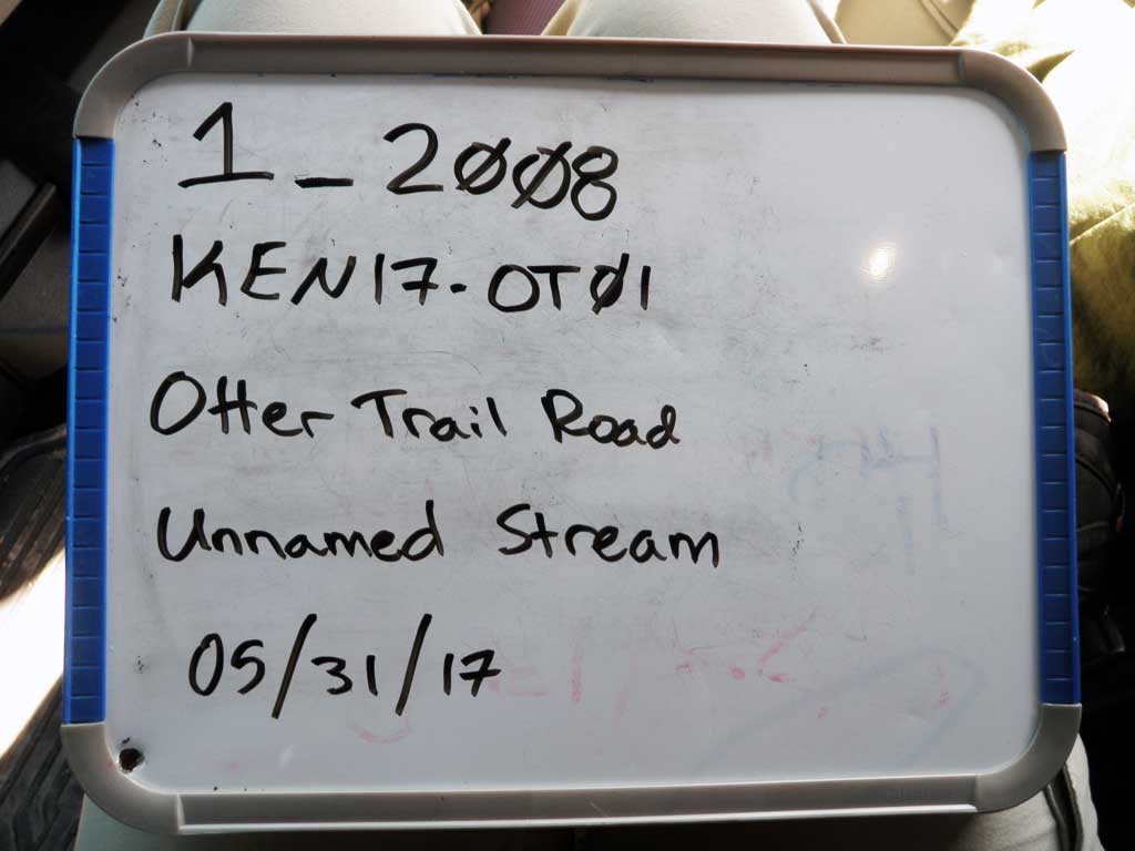
Fish Passage Site 20303755
Coordinates (dec. deg.): 60.54758°, -150.73615°
Legal Description: S005N008W06
Region: South Central
Road Name: Otter Trail Road
Datum: NAD83
Quad Name / ITM: Kenai C-2
AWC Stream #: 244-30-10010-2063-3004
Stream Name: Unnamed
Elevation:
Site Comments: Anadromy ends at culvert crossing
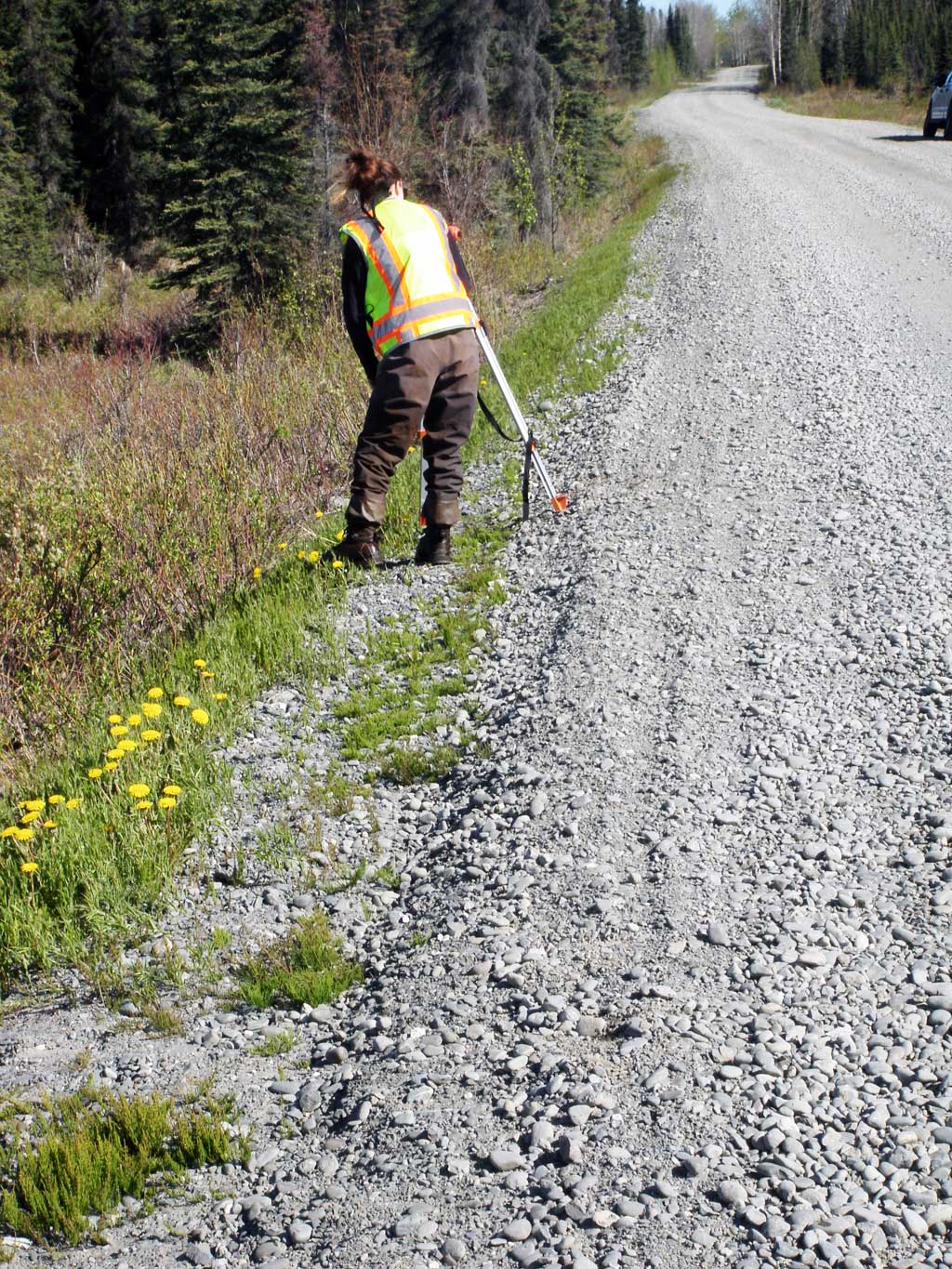
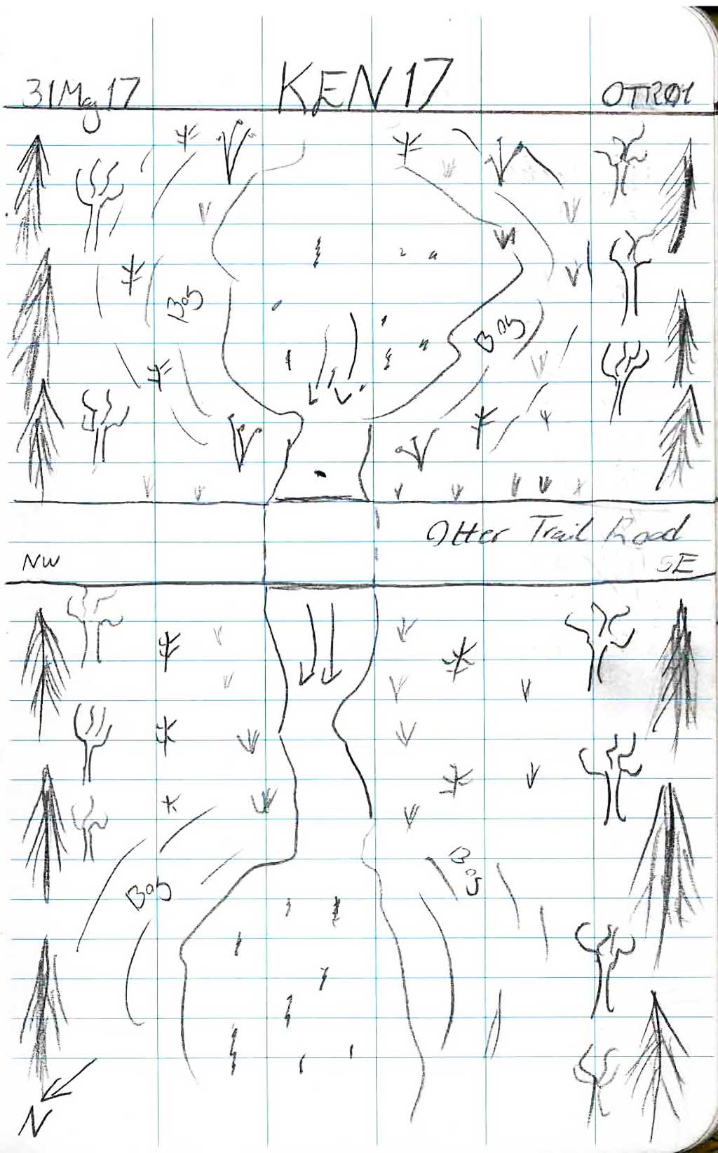
Survey KEN17-OTR01
Observers: Maggie Schaffer, Elise Idle
Overall Fish Passage Rating:
Tidal: No
Backwatered: Yes
Step Pools: No
Construction Year:
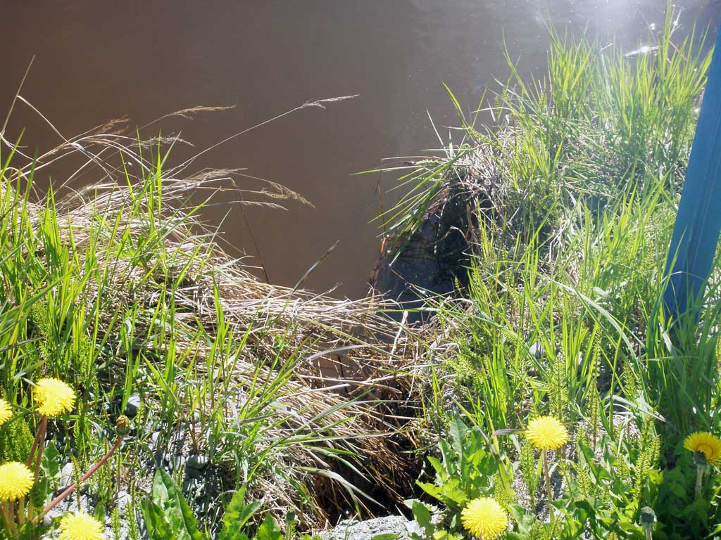
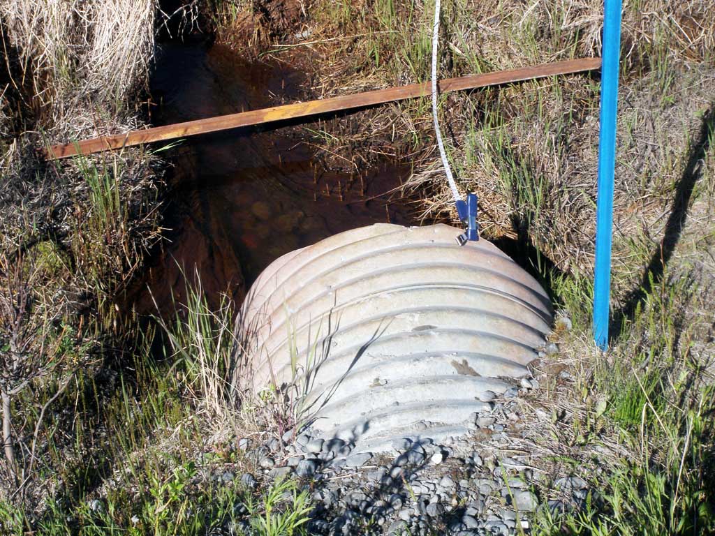
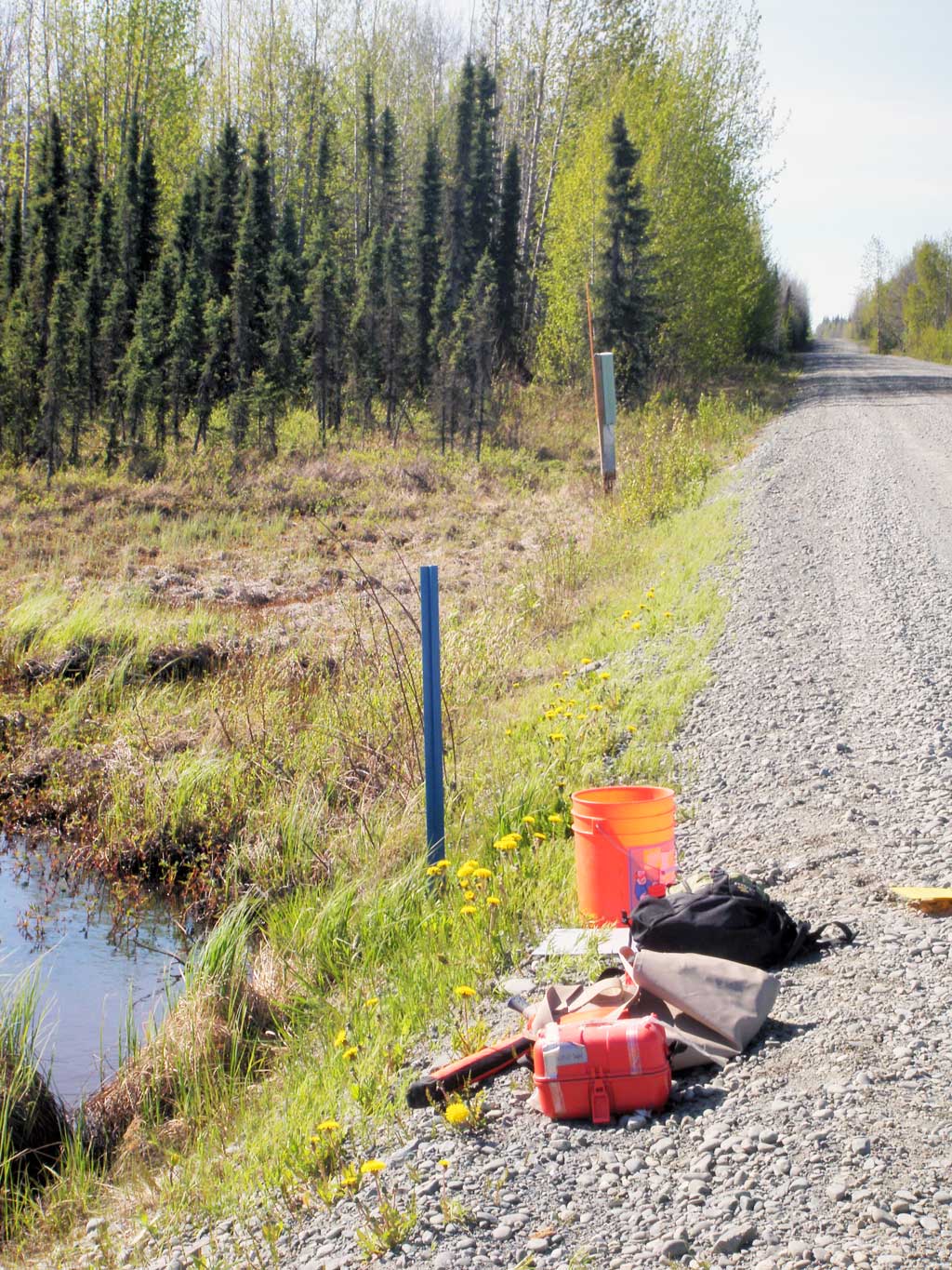
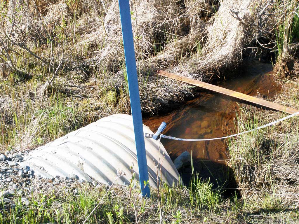
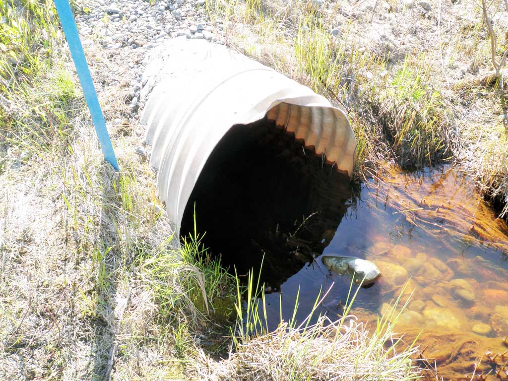
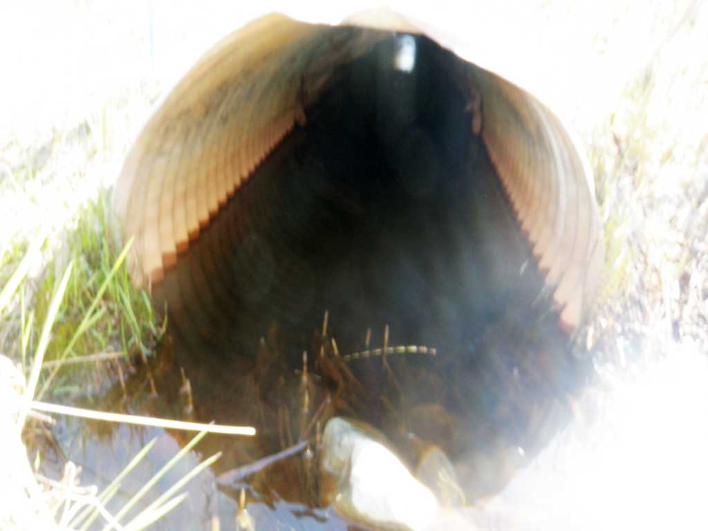
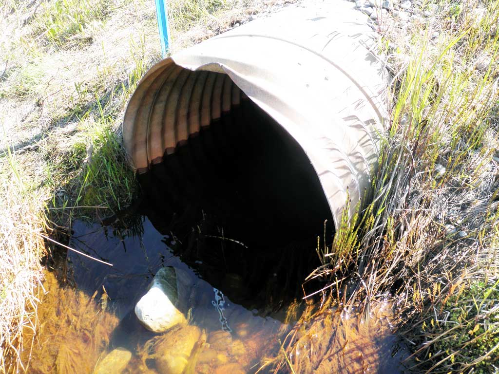
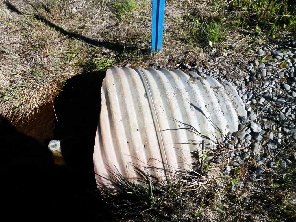
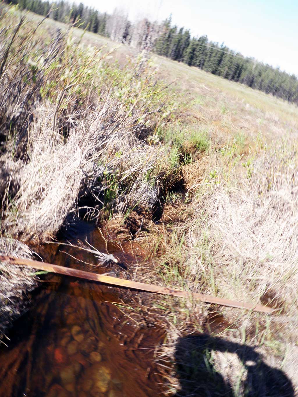
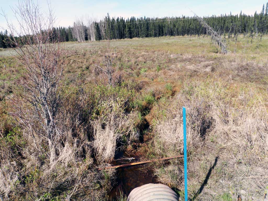
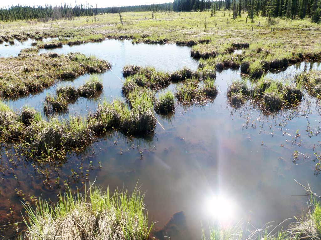
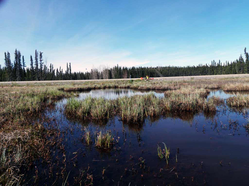
Comments: Assessment information collected and submitted by USFWS. Unable to take upstream measurements due to large bog. Downstream heavily overgrown with grass, has multiple meandering channels. Water is heavily silted. Pipes have damage in the middle. Local residents mentioned that there are normally mallard ducks out on the pond, but there haven't been any this year. Long Profile elevations inconsistent. Site could be backwatered from photos, but elevations do not show that. Top of pipe gradient is adverse. Site rated black.
Culvert Measurements
| ID: 1 | Structure Type: Circular pipe (Corrugated steel) | Fish Passage Rating: | |||||||||||||||||||||||||||||||||||||||||
|
|
|
|||||||||||||||||||||||||||||||||||||||||
Comments: Damage inside middle of pipe. |
|||||||||||||||||||||||||||||||||||||||||||
Stream Measurements
|
|
| Stream Width Type | Distance From Crossing (ft) |
Stream Width (ft) |
|---|---|---|
| Downstream ordinary high water | 19.0 | 1.20 |
| Downstream ordinary high water | 41.0 | 2.40 |
| Downstream ordinary high water | 60.0 | 1.90 |
Elevations
| Locator ID | Culvert Number |
River Distance (ft)1 |
Distance From Crossing (ft)2 |
Relative Elevation (ft) |
|---|---|---|---|---|
| Road Elev | 98.28 | |||
| D/S Water Surface Elev | 0.00 | 9.13 | ||
| D/S Thalweg (Elevations may be erroneous) | 0.00 | 91.57 | ||
| D/S Thalweg | 18.00 | 9.84 | ||
| D/S Water Surface Elev | 18.00 | 92.42 | ||
| D/S Water Surface Elev | 34.00 | 92.88 | ||
| D/S Thalweg | 34.00 | 92.38 | ||
| D/S Thalweg | 54.00 | 93.87 | ||
| D/S Water Surface Elev | 54.00 | 94.23 | ||
| D/S Water Surface Elev | 60.00 | 94.33 | ||
| Outlet Invert | 60.00 | 93.78 | ||
| Outlet Culvert Top | 60.00 | 95.97 | ||
| Inlet Culvert Invert | 95.00 | 94.70 | ||
| U/S Water Surface Elev | 95.00 | 94.77 | ||
| Inlet Culvert Top | 95.00 | 95.78 |
Notes:
- River distance is measured continuously throughout the survey reach along the thalweg of the stream.
- Measured from each end of the crossing along the thalweg of the stream.
Fish Sampling Efforts
| Gear Type: Minnow Trap (A) | Trap Duration(h): 1.0 | |
| Gear Type: Minnow Trap (B) | Trap Duration(h): 1.5 | |
Fish Observations
No fish observations occurred during this survey.
Photos
Questions or comments about this report can be directed to dfg.dsf.webmaster@alaska.gov