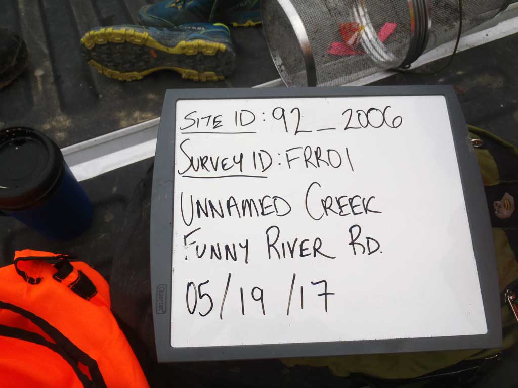
Fish Passage Site 20303749
Coordinates (dec. deg.): 60.46529°, -150.99611°
Legal Description: S004N010W03
Region: South Central
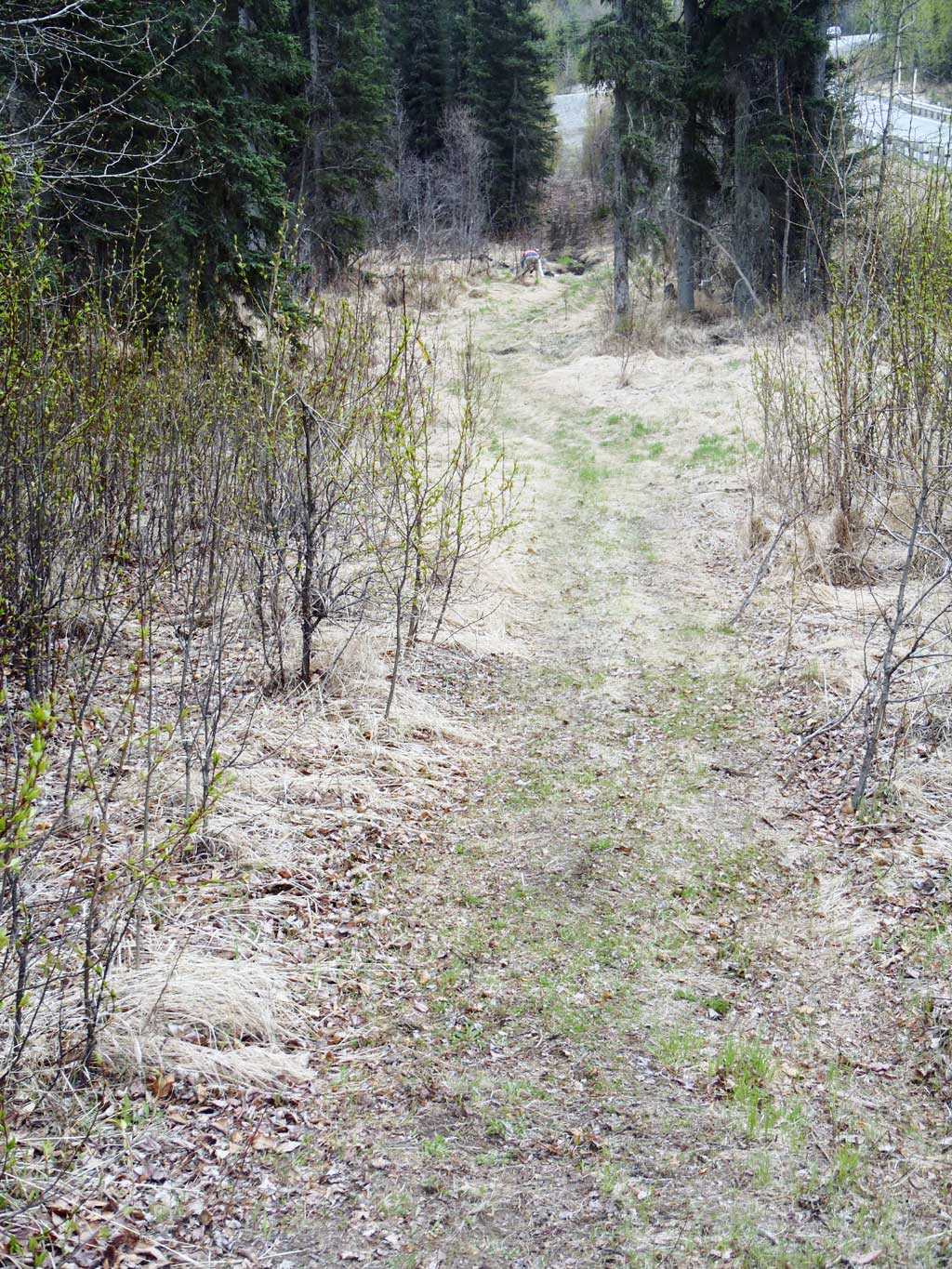
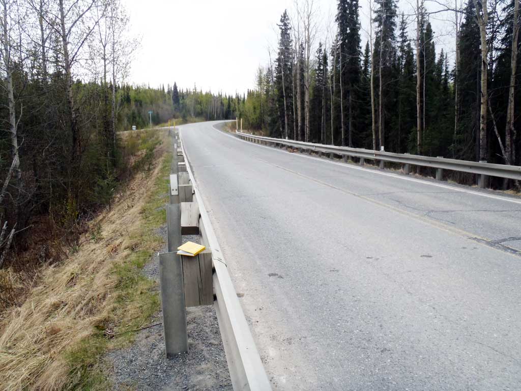
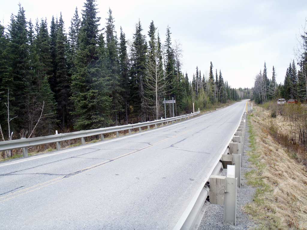
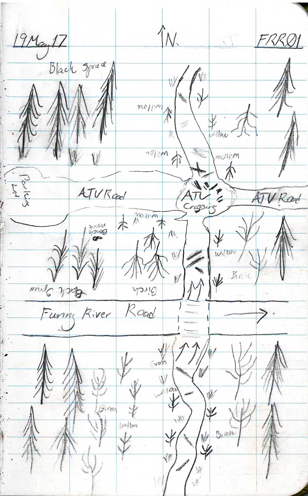
Road Name: Funny River Road
Datum: NAD83
Quad Name / ITM: Kenai B-3
AWC Stream #: 244-30-10010-2042
Stream Name: Unnamed
Elevation:
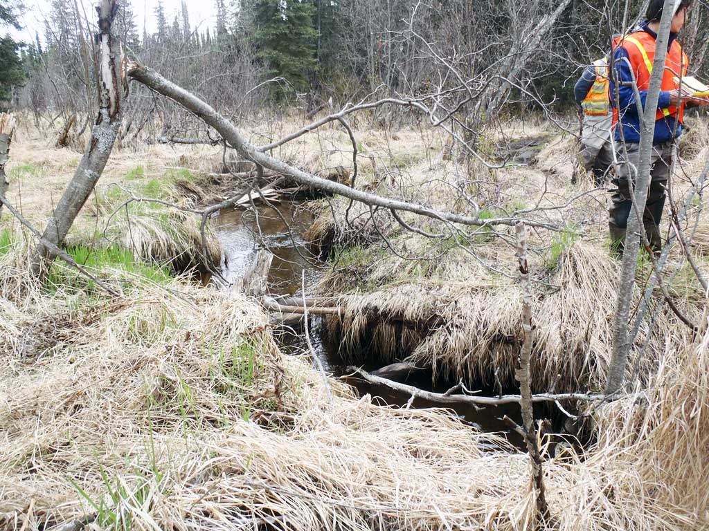
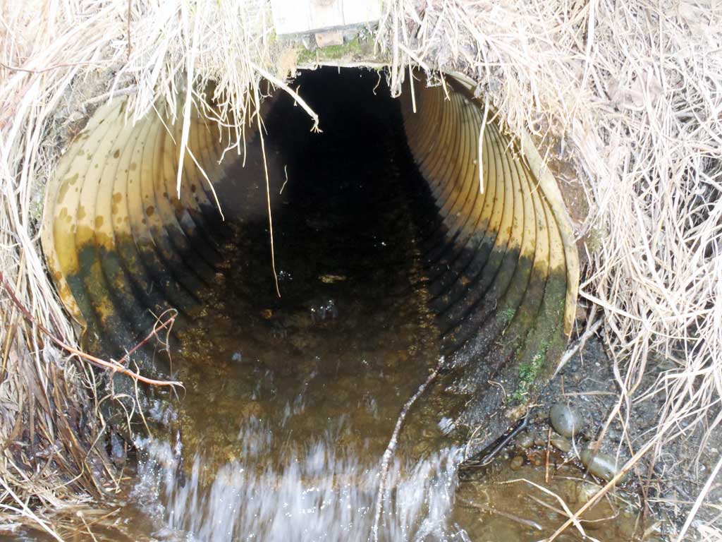
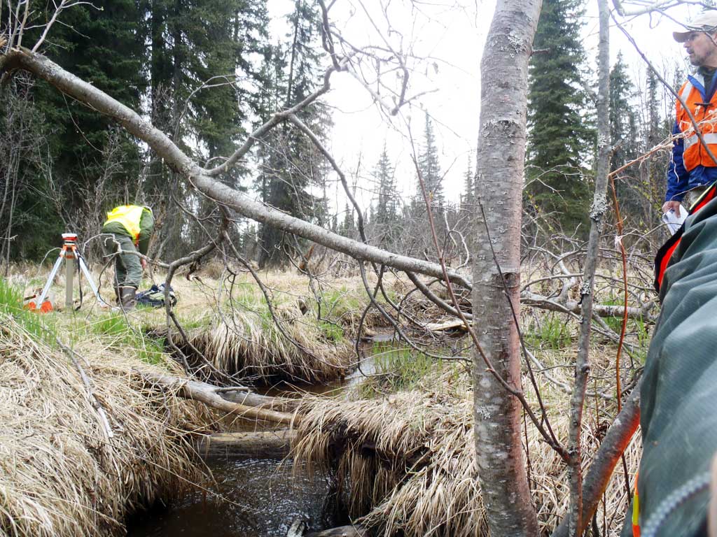
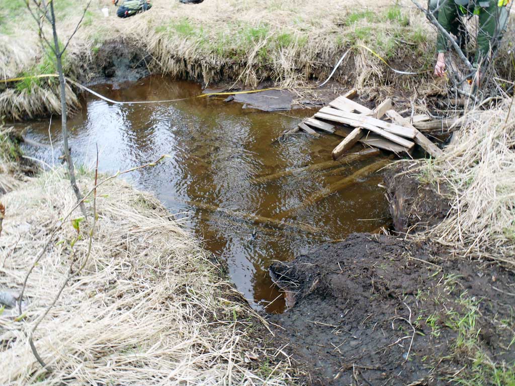
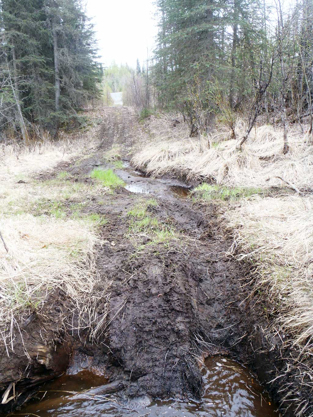
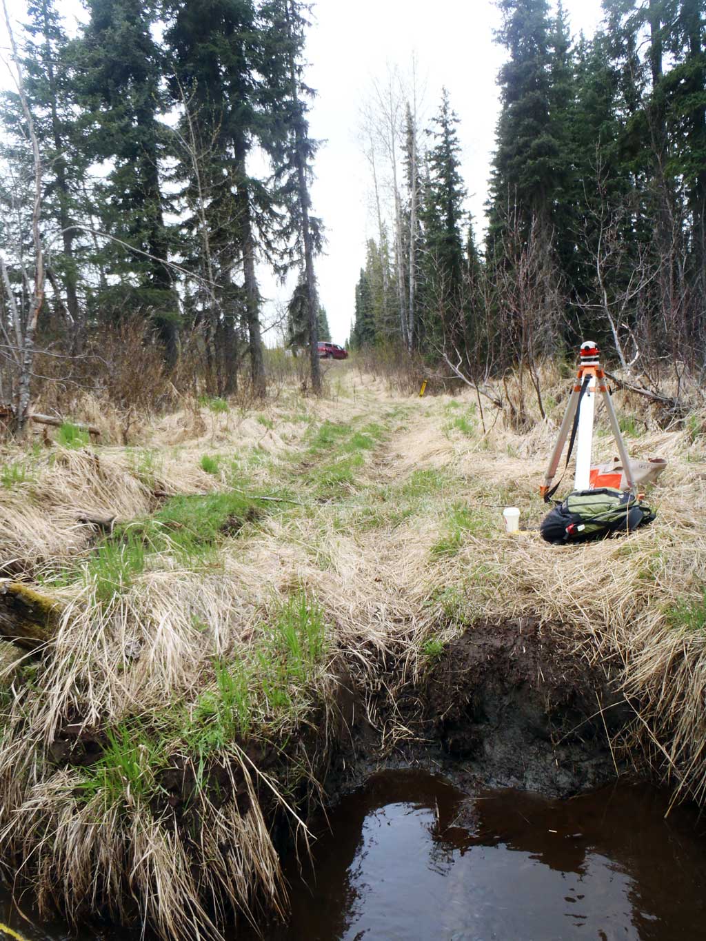
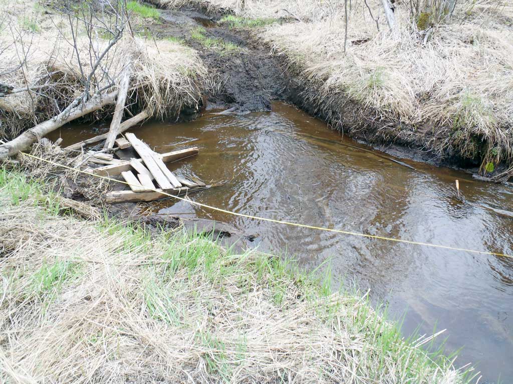
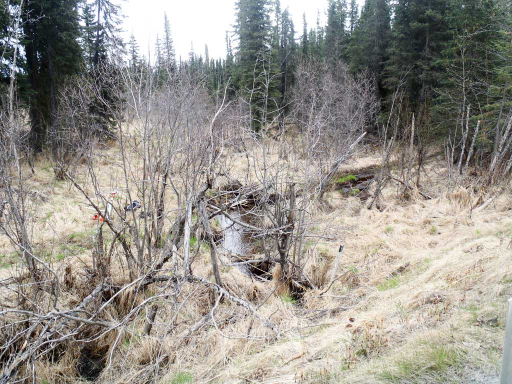
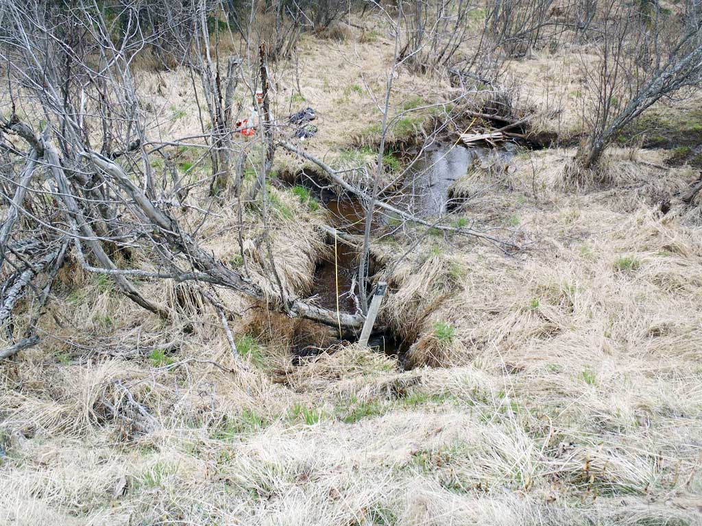
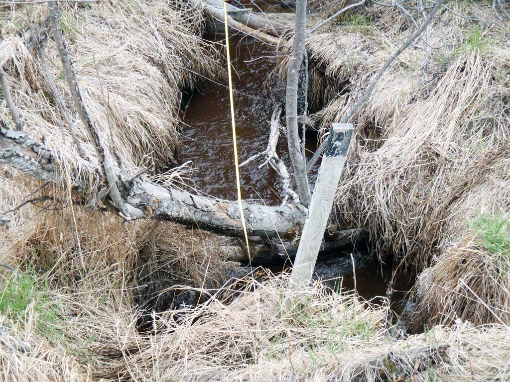
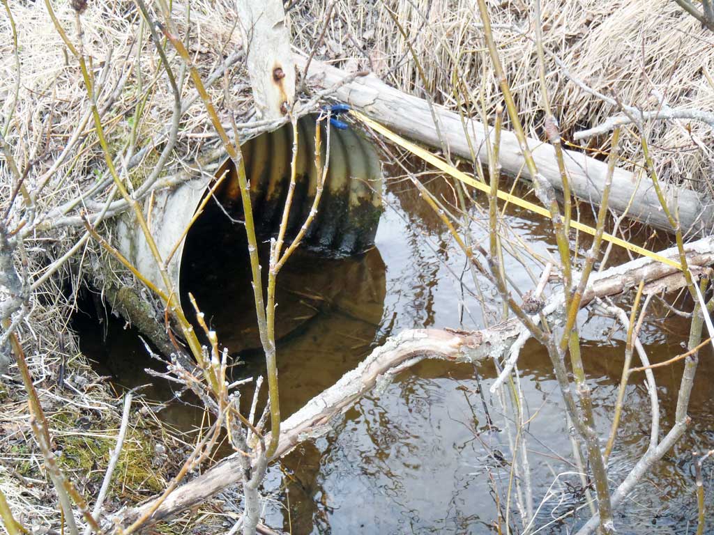
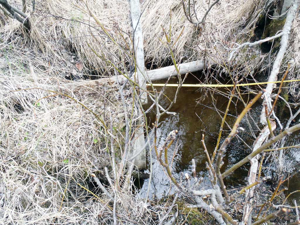
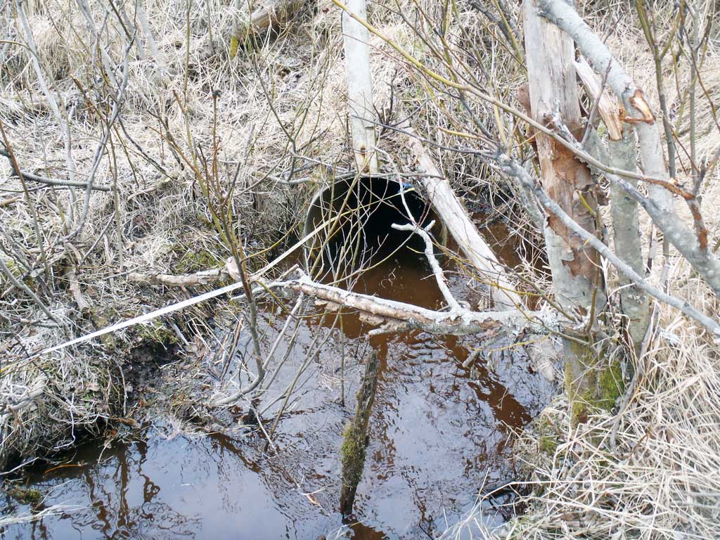
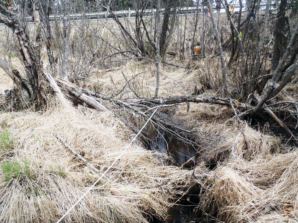
Site Comments: ATV trail leading down to site. Leftover wood from makeshift bridge on site.
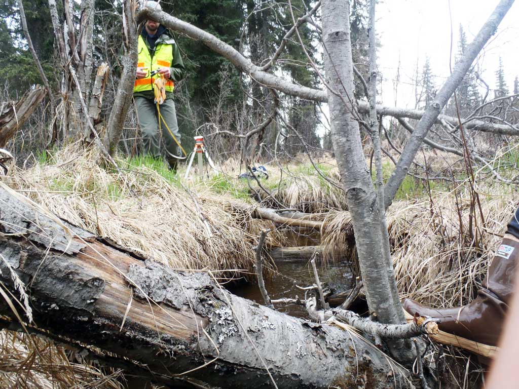
Survey KEN17-FRR01
Observers: Jeff Sires, Elise Idle, Louis Mitchell, Maggie Schaffer
Overall Fish Passage Rating:
Tidal: No
Backwatered: No
Step Pools: No
Construction Year:
Site Observations:
- Constriction ratio gray
- Compound gradient in pipe
- Mechanical damage or joints parting
- Structural Problem
- Culvert gradient red
- Outfall height red
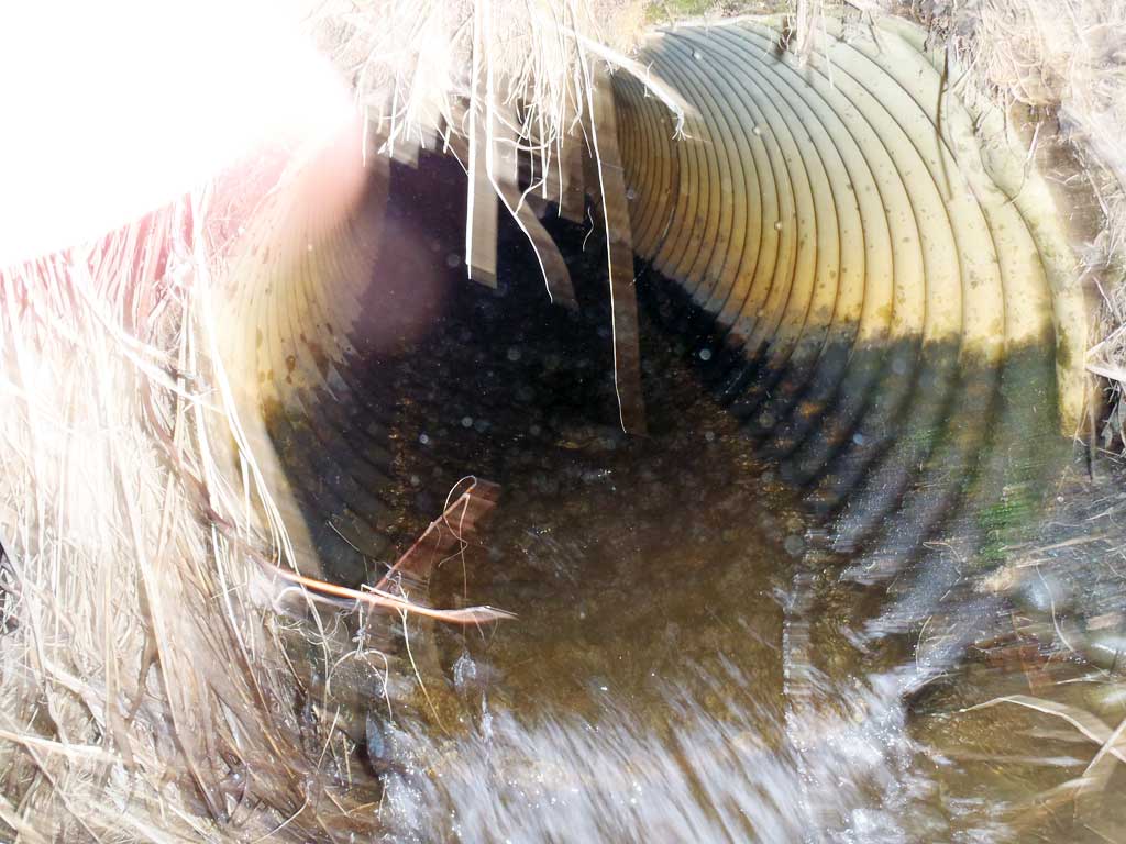
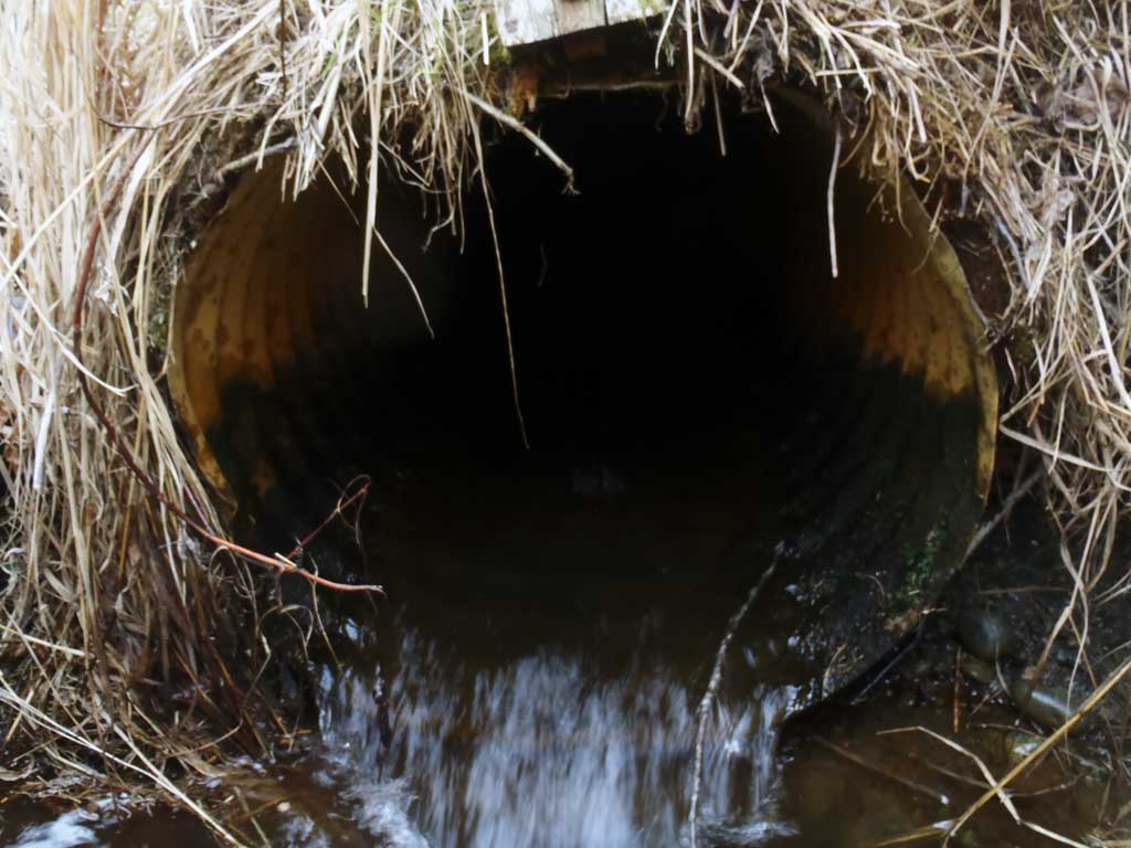
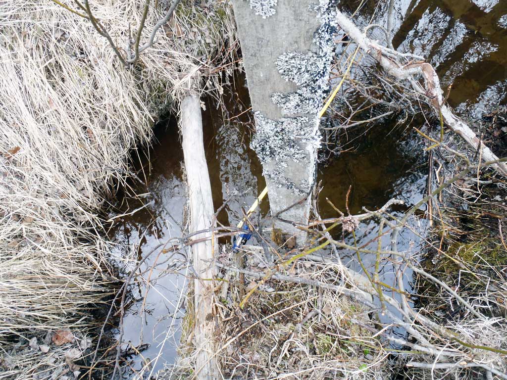
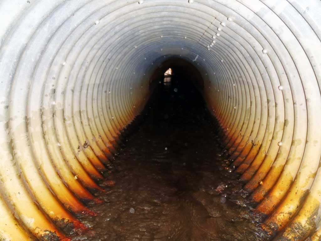
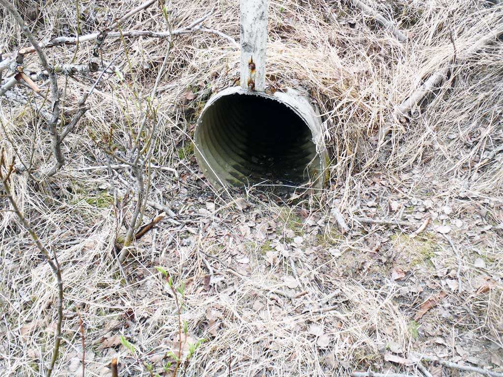
Comments: Culvert information and assessment data collected and submitted by USFWS. Site had significant ATV disturbance on the downstream side. ATV crossing measurements: 34'ds=9', 28'ds=15.5', 23'ds=5.3', 17'ds=12'. Leftover wood from makeshift bridge. Culvert was indented on the upstream side. Culvert turns on the inside. Overflow culvert was present at site.
Culvert Measurements
| ID: 1 | Structure Type: Circular pipe (Corrugated steel) | Fish Passage Rating: | |||||||||||||||||||||||||||||||||||||||||
|
|
|
|||||||||||||||||||||||||||||||||||||||||
Comments: Pipe was indented on the upstream side. Culvert turns on the inside. |
|||||||||||||||||||||||||||||||||||||||||||
Culvert Observations:
|
|||||||||||||||||||||||||||||||||||||||||||
| ID: 2 | Structure Type: Circular pipe (Corrugated steel) | Fish Passage Rating: | |||||||||||||||||||||||||||||||||||||||||
|
|
|
|||||||||||||||||||||||||||||||||||||||||
Comments: Overflow pipe |
|||||||||||||||||||||||||||||||||||||||||||
Stream Measurements
|
|
| Stream Width Type | Distance From Crossing (ft) |
Stream Width (ft) |
|---|---|---|
| Downstream ordinary high water | 90.0 | 2.10 |
| Downstream ordinary high water | 110.0 | 2.50 |
| Downstream ordinary high water | 160.0 | 2.25 |
| Upstream ordinary high water | 58.0 | 3.45 |
| Upstream ordinary high water | 90.0 | 3.60 |
| Upstream ordinary high water | 107.0 | 2.95 |
| Upstream ordinary high water | 131.0 | 3.25 |
Elevations
| Locator ID | Culvert Number |
River Distance (ft)1 |
Distance From Crossing (ft)2 |
Relative Elevation (ft) |
|---|---|---|---|---|
| Road Elev | 108.11 | |||
| D/S Water Surface Elev | 0.00 | 94.73 | ||
| D/S Thalweg | 0.00 | 93.98 | ||
| D/S Water Surface Elev | 67.00 | 94.45 | ||
| D/S Thalweg | 67.00 | 94.92 | ||
| D/S Thalweg | 89.00 | 95.04 | ||
| D/S Water Surface Elev | 89.00 | 95.58 | ||
| D/S Water Surface Elev | 98.60 | 95.63 | ||
| Max Pool Depth | 98.60 | 94.33 | ||
| D/S Water Surface Elev | 1 | 104.00 | 96.46 | |
| Outlet Invert | 1 | 104.00 | 95.73 | |
| Outlet Culvert Top | 1 | 104.00 | 97.78 | |
| Outlet Culvert Top (Overflow pipe) | 3 | 107.00 | 99.91 | |
| Outlet Culvert Top | 2 | 107.00 | 99.91 | |
| Outlet Invert (Overflow pipe) | 165.00 | 97.68 | ||
| Outlet Invert | 2 | 165.00 | 97.68 | |
| Inlet Culvert Top | 1 | 165.00 | 98.46 | |
| Outlet Culvert Top (Overflow pipe) | 165.00 | 98.75 | ||
| Inlet Culvert Invert (Over flow pipe) | 2 | 165.00 | 98.75 | |
| Inlet Culvert Top | 2 | 165.00 | 98.75 | |
| U/S Water Surface Elev | 1 | 165.00 | 96.85 | |
| Inlet Culvert Invert | 1 | 165.00 | 96.41 | |
| U/S Water Surface Elev | 188.00 | 96.85 | ||
| U/S Thalweg | 188.00 | 95.30 | ||
| U/S Thalweg | 270.00 | 96.25 | ||
| U/S Headwater | 270.00 | 96.95 |
Notes:
- River distance is measured continuously throughout the survey reach along the thalweg of the stream.
- Measured from each end of the crossing along the thalweg of the stream.
Fish Sampling Efforts
| Gear Type: Minnow Trap (A) | Trap Duration(h): 1.3 | |
| Gear Type: Minnow Trap (B) | Trap Duration(h): 1.8 | |
Fish Observations
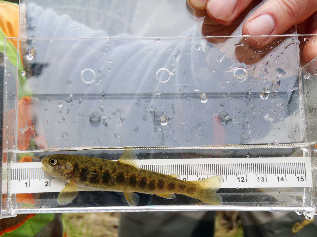
| Species: juvenile Dolly Varden | Life History: Anadromous | ||
| Total Fish Observed: 1 | Fish Measured: 1 | Fork Lengths (mm) Min: 90 Max: 90 Mean: 90 | |
| Collected/Observed by Gear Type: Upstream Minnow Trap (1) | |||
Photos
Questions or comments about this report can be directed to dfg.dsf.webmaster@alaska.gov