Fish Passage Site 20303746
Coordinates (dec. deg.): 60.52770°, -150.98456°
Legal Description: S005N010W14
Region: South Central
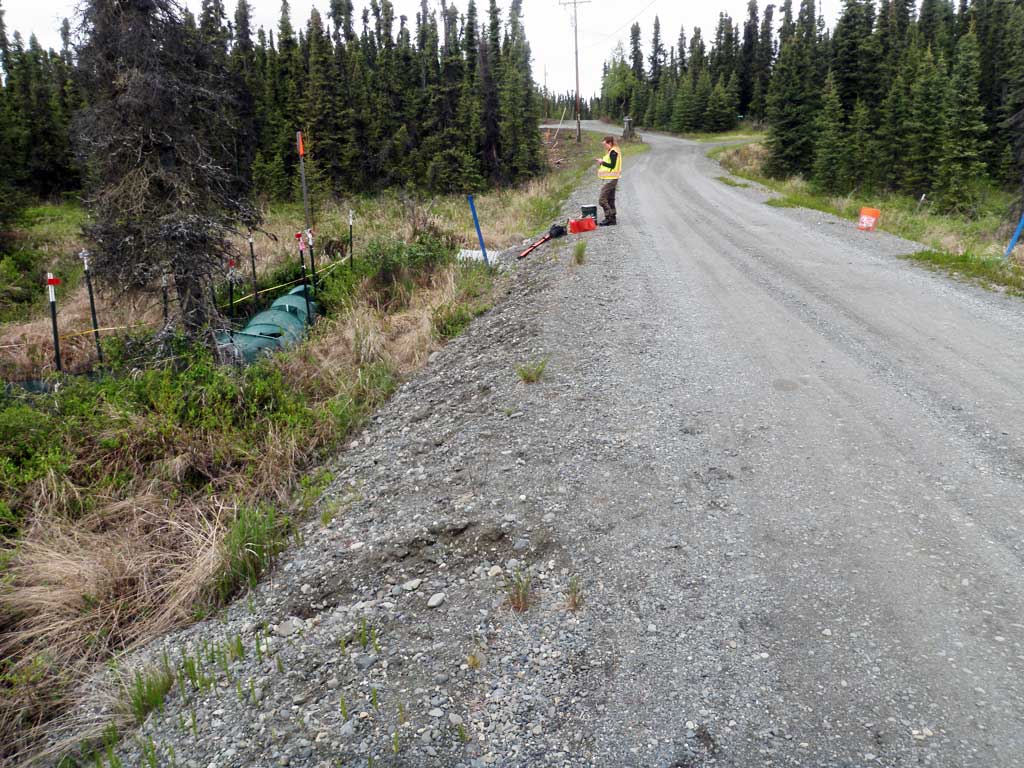
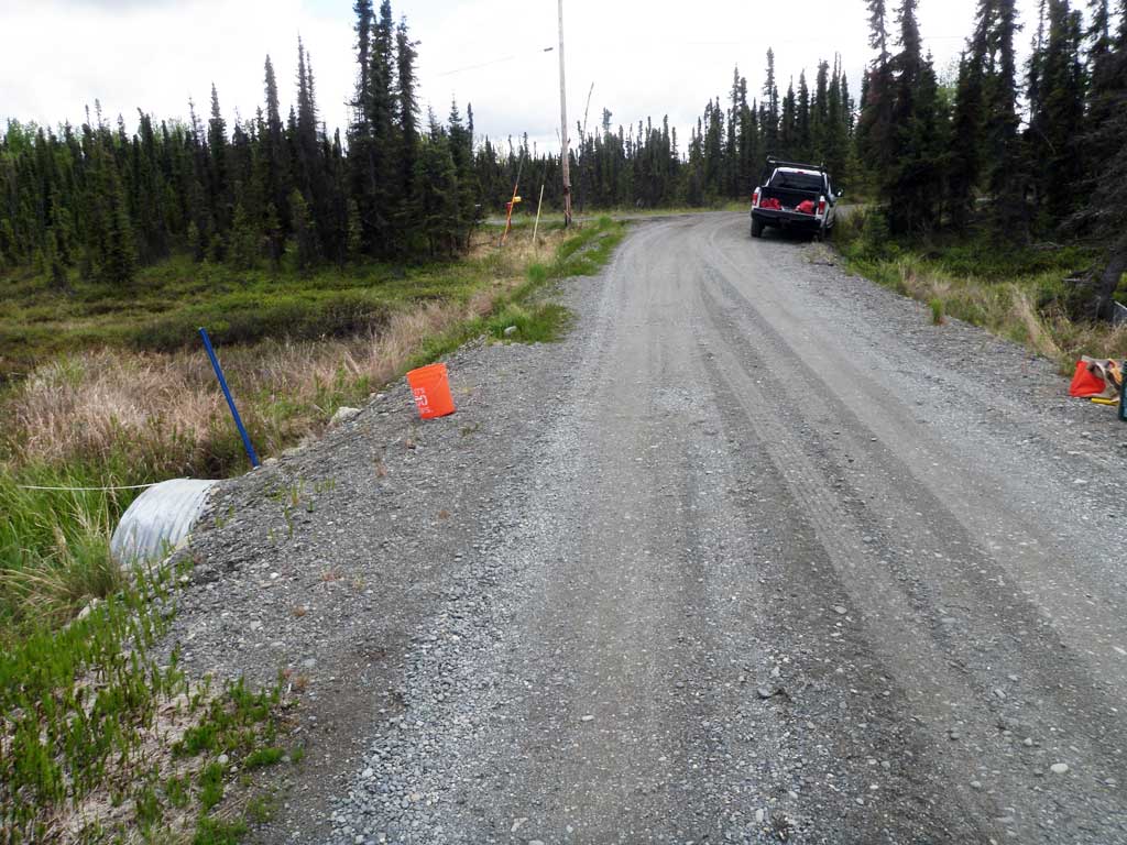
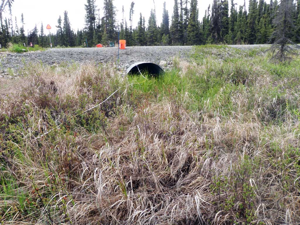
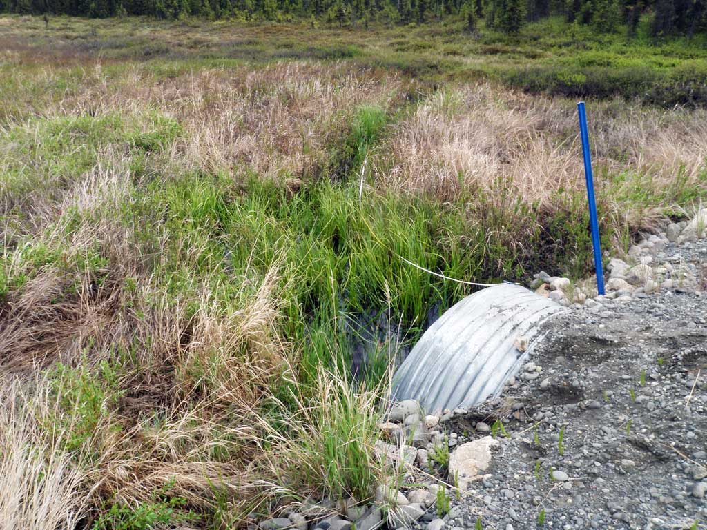
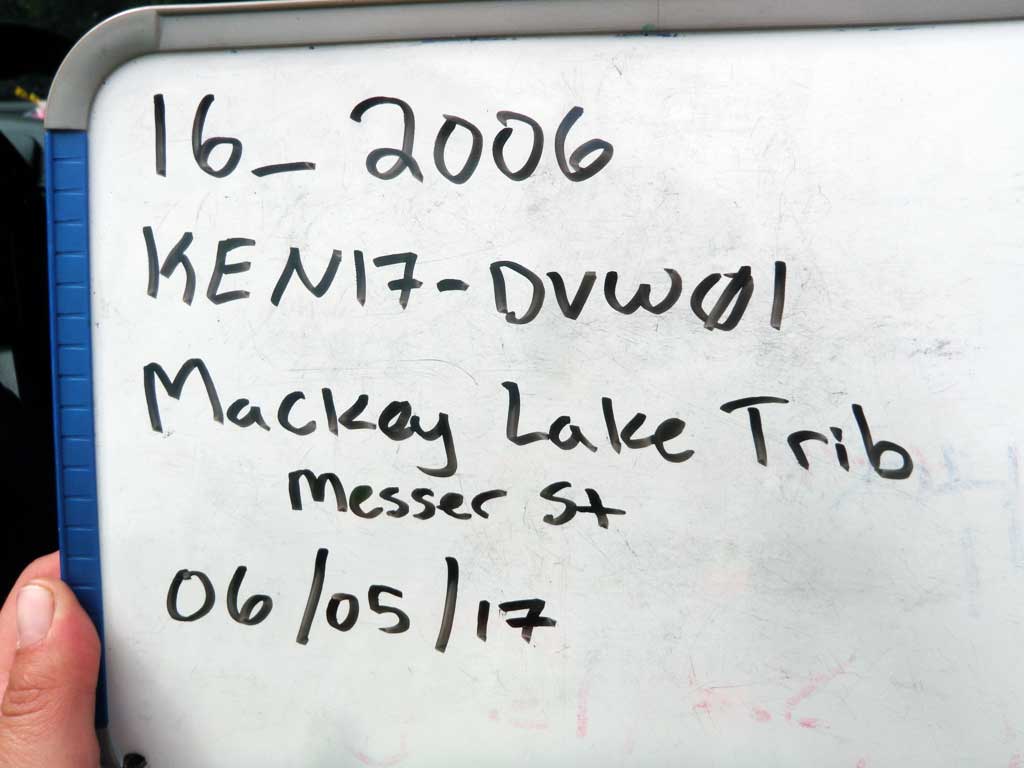
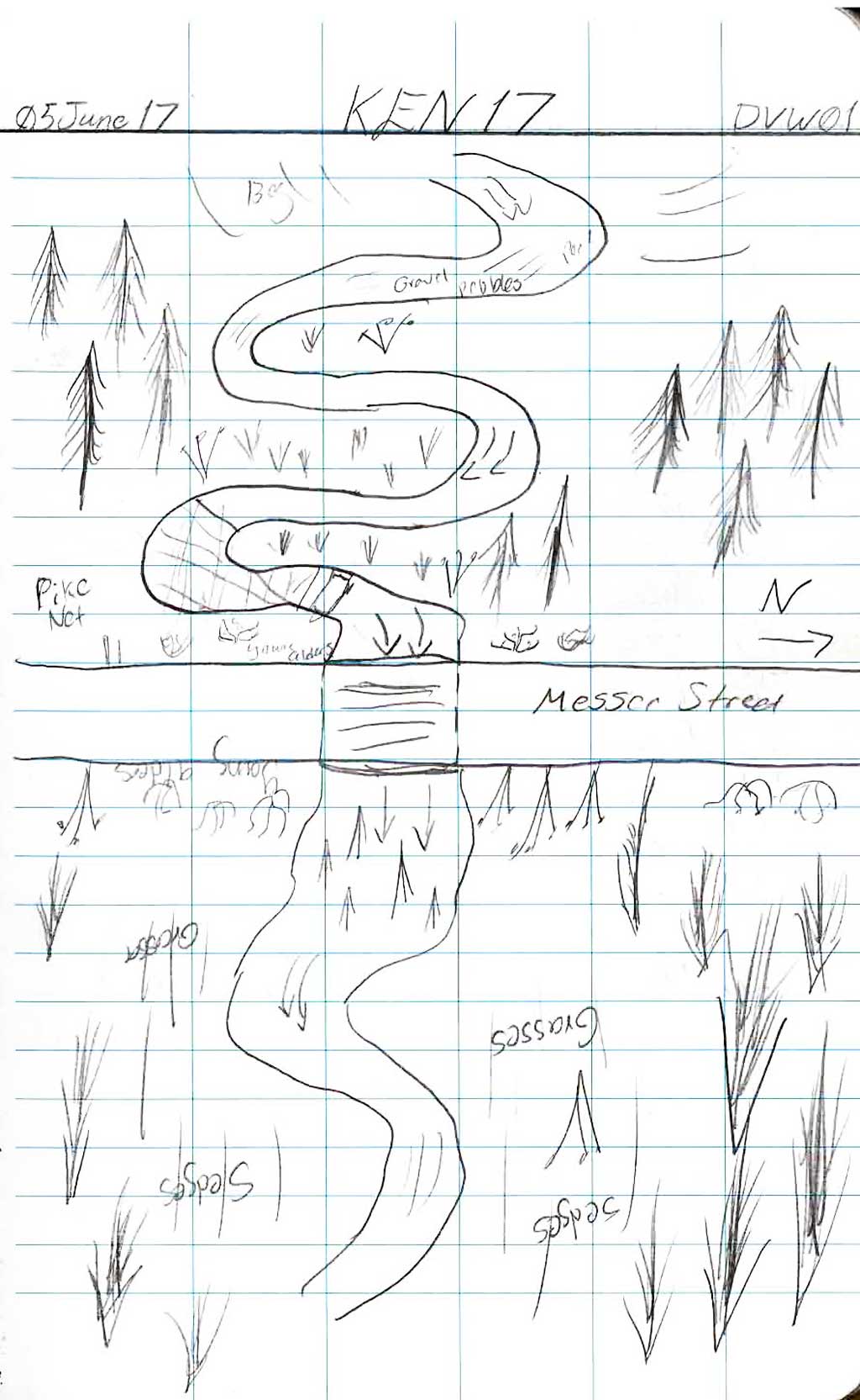
Road Name: Messer Street
Datum: NAD83
Quad Name / ITM: Kenai C-3
AWC Stream #: 244-30-10010-2039-3029
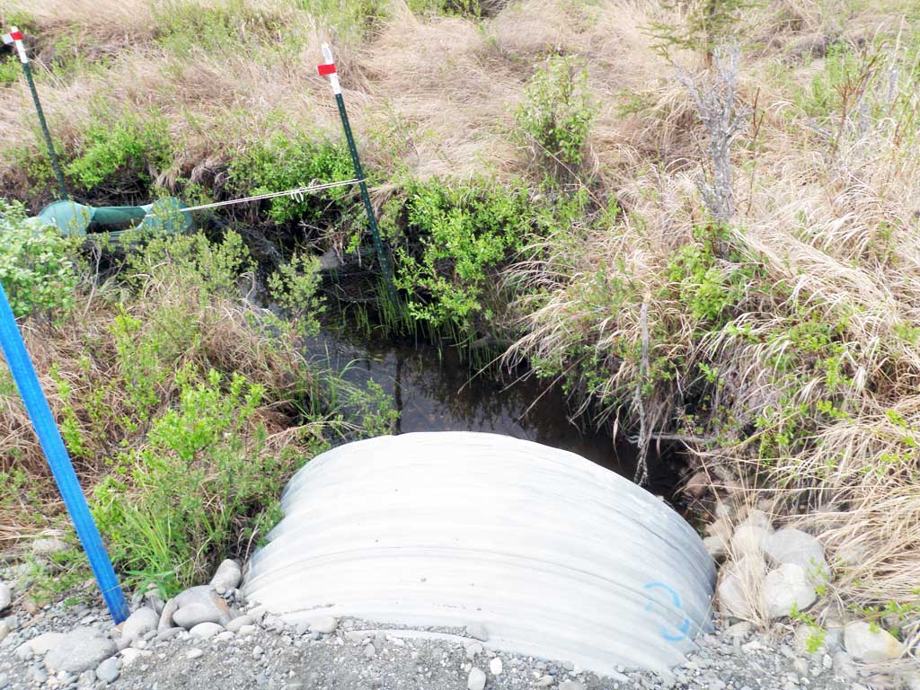
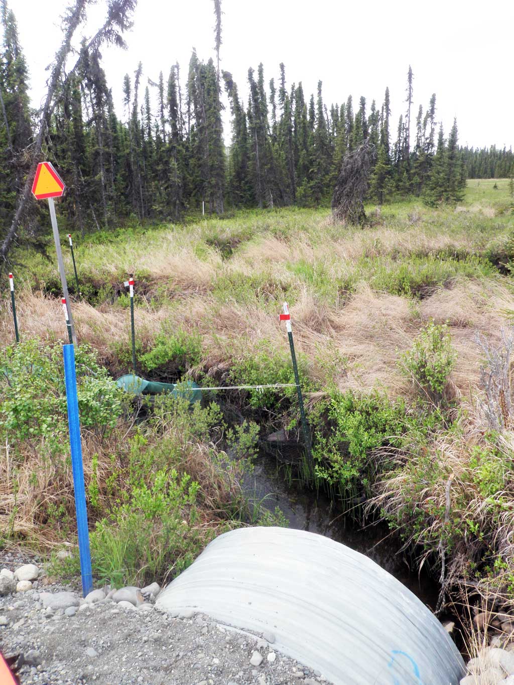
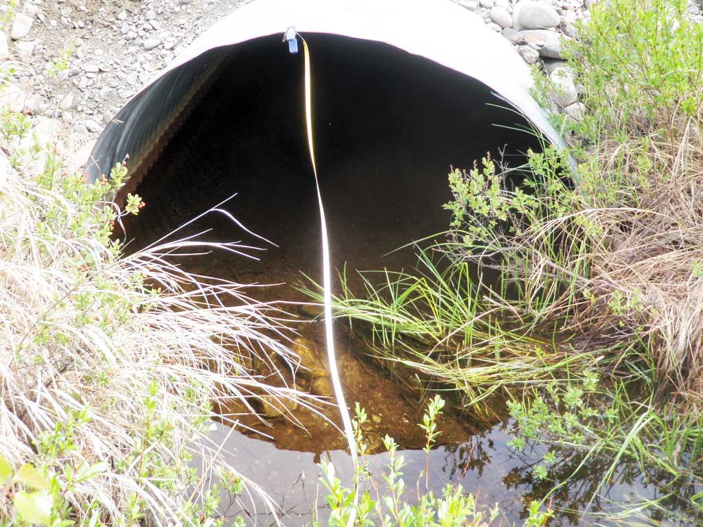
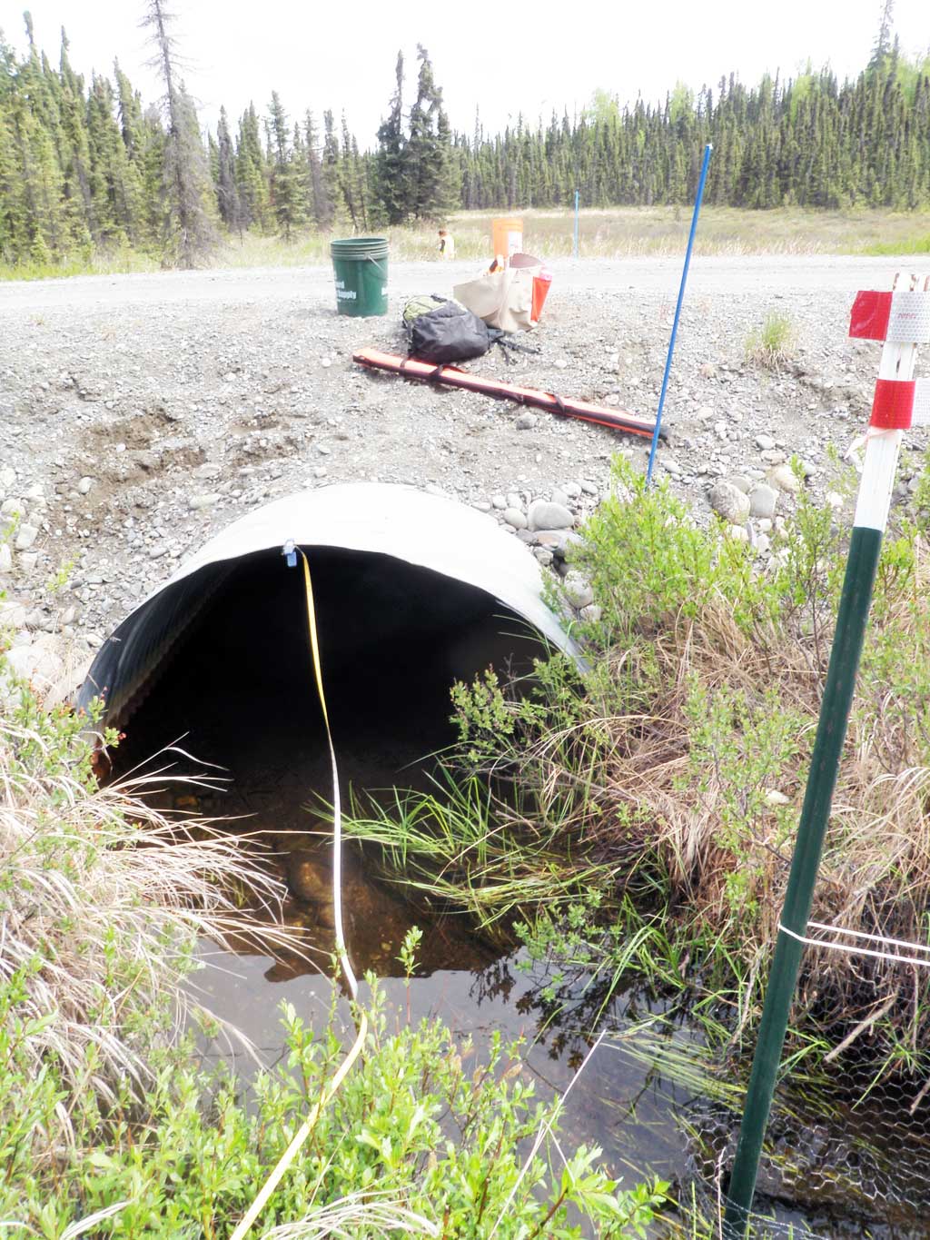
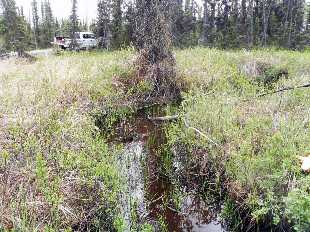
Stream Name: Mackey Lake outlet
Elevation:
Site Comments: Stream off of Mackey Lake
Survey KEN17-DVW01
Observers: Elise Idle, Maggie Schaffer
Overall Fish Passage Rating:
Tidal: No
Backwatered: Yes
Step Pools: No
Construction Year:
Site Observations:
- None of this type
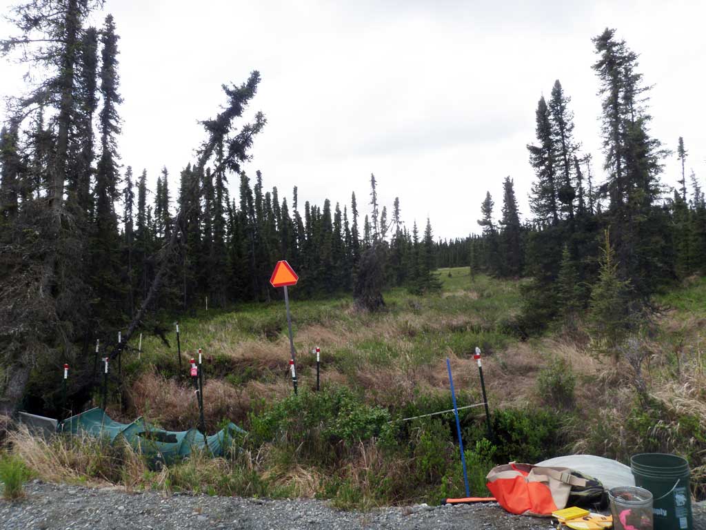
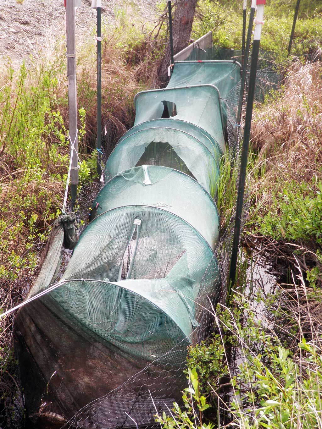
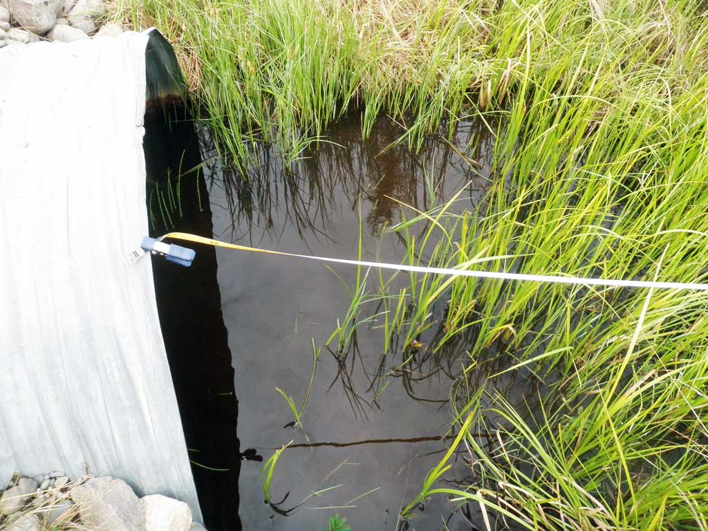
Comments: Culvert information and assessment data collected and submitted by USFWS. Northern pike net guard upstream 10 feet from the culvert. Large fish, approximately a foot in length, were spotted in the stream. Possible dollys or trout. Stream had very dramatic turns, downstream was bogged.
Culvert Measurements
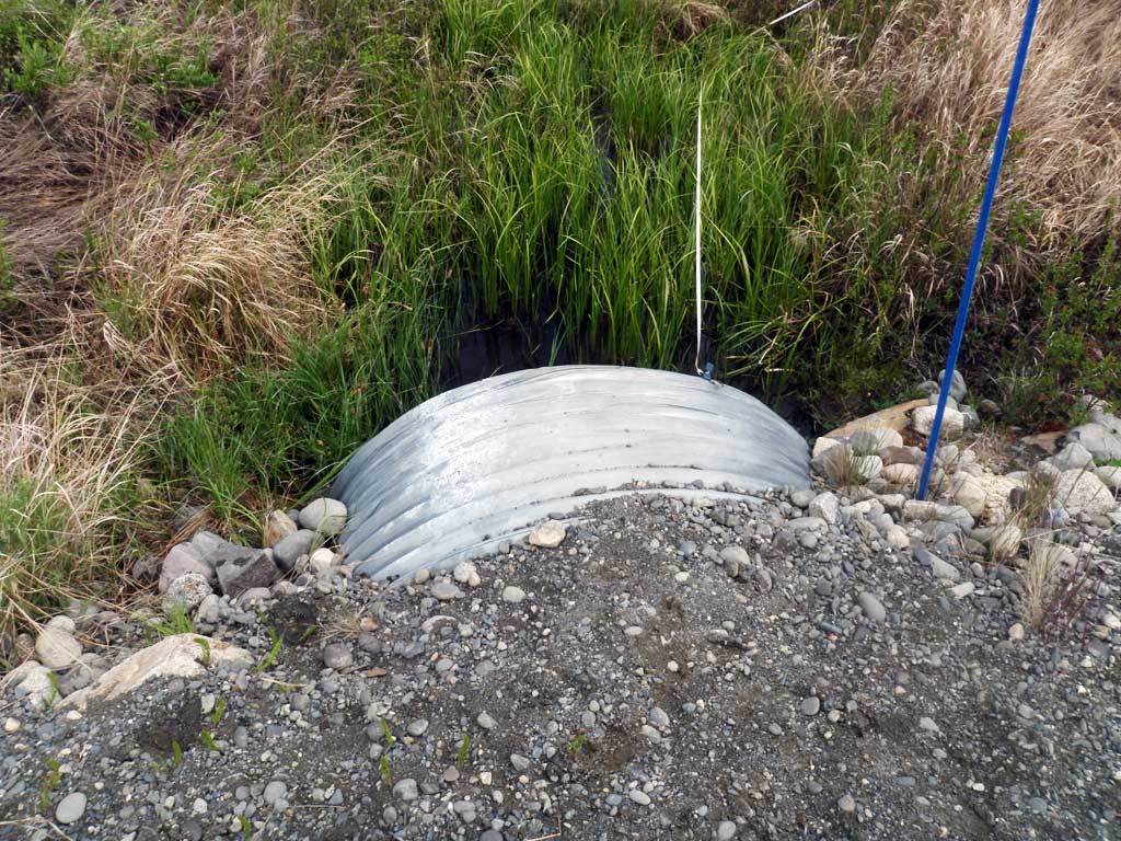
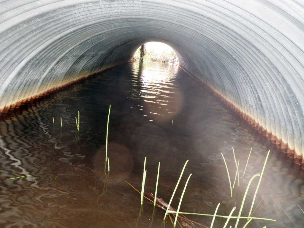
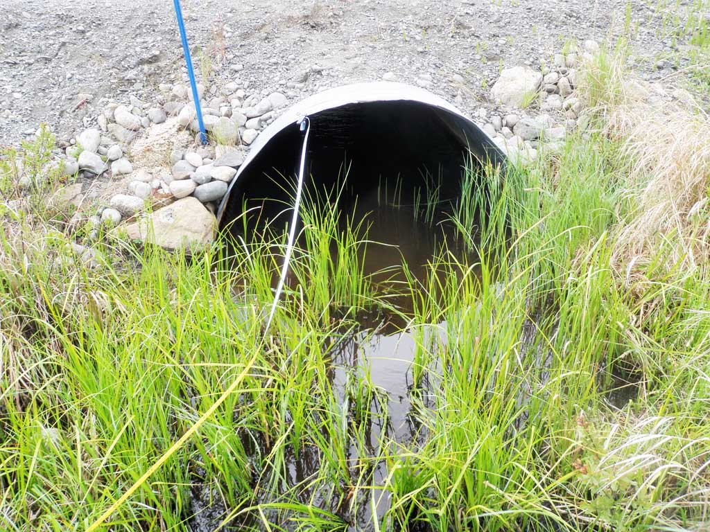
| ID: 1 | Structure Type: Circular pipe (Corrugated steel) | Fish Passage Rating: | |||||||||||||||||||||||||||||||||||||||||
|
|
|
|||||||||||||||||||||||||||||||||||||||||
Culvert Observations:
|
|||||||||||||||||||||||||||||||||||||||||||
Stream Measurements
|
|
| Stream Width Type | Distance From Crossing (ft) |
Stream Width (ft) |
|---|---|---|
| Downstream ordinary high water | 15.0 | 3.90 |
| Downstream ordinary high water | 60.0 | 3.70 |
| Downstream ordinary high water | 98.0 | 4.10 |
| Upstream ordinary high water | 41.0 | 5.90 |
| Upstream ordinary high water | 61.0 | 4.40 |
| Upstream ordinary high water | 94.0 | 4.80 |
| Upstream ordinary high water | 131.0 | 4.90 |
Elevations
| Locator ID | Culvert Number |
River Distance (ft)1 |
Distance From Crossing (ft)2 |
Relative Elevation (ft) |
|---|---|---|---|---|
| Road Elev | 101.89 | |||
| D/S Thalweg | 0.00 | 96.41 | ||
| D/S Water Surface Elev | 0.00 | 96.74 | ||
| D/S Water Surface Elev | 35.00 | 96.87 | ||
| D/S Thalweg | 35.00 | 96.35 | ||
| D/S Thalweg | 70.00 | 96.82 | ||
| D/S Water Surface Elev | 70.00 | 97.15 | ||
| D/S Water Surface Elev | 90.00 | 96.73 | ||
| Outlet Invert | 90.00 | 96.55 | ||
| Outlet Culvert Top | 90.00 | 100.02 | ||
| Inlet Culvert Top | 122.00 | 100.02 | ||
| U/S Water Surface Elev | 122.00 | 96.56 | ||
| Inlet Culvert Invert | 122.00 | 97.14 | ||
| U/S Water Surface Elev | 165.00 | 97.79 | ||
| U/S Thalweg | 165.00 | 97.12 | ||
| U/S Thalweg | 196.00 | 97.34 | ||
| U/S Water Surface Elev | 196.00 | 97.92 | ||
| U/S Water Surface Elev | 222.00 | 98.46 | ||
| U/S Thalweg | 222.00 | 97.80 | ||
| U/S Thalweg | 244.00 | 97.88 | ||
| U/S Water Surface Elev | 244.00 | 98.28 |
Notes:
- River distance is measured continuously throughout the survey reach along the thalweg of the stream.
- Measured from each end of the crossing along the thalweg of the stream.
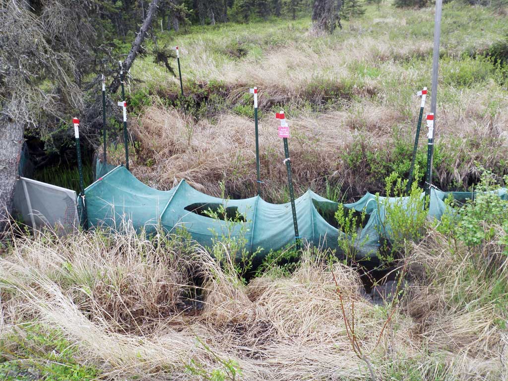
Fish Sampling Efforts
| Gear Type: Minnow Trap (A) | Trap Duration(h): 1.15 | |
| Gear Type: Minnow Trap (B) | Trap Duration(h): 1.5 | |
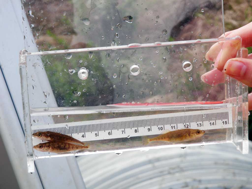
Fish Observations
| Species: juvenile stickleback-unspecified | Life History: Anadromous | ||
| Total Fish Observed: 4 | Fish Measured: 4 | Fork Lengths (mm) Min: 42 Max: 45 Mean: 43 | |
| Collected/Observed by Gear Type: Upstream Minnow Trap (1) Downstream Minnow Trap (3) | |||
Photos
Questions or comments about this report can be directed to dfg.dsf.webmaster@alaska.gov