Fish Passage Site 20303698
Coordinates (dec. deg.): 60.96180°, -149.14420°
Legal Description: S010N002E17
Region: South Central
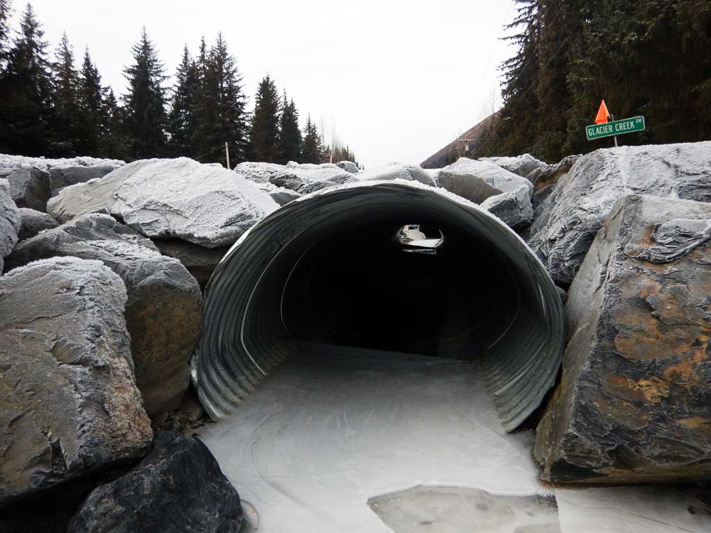
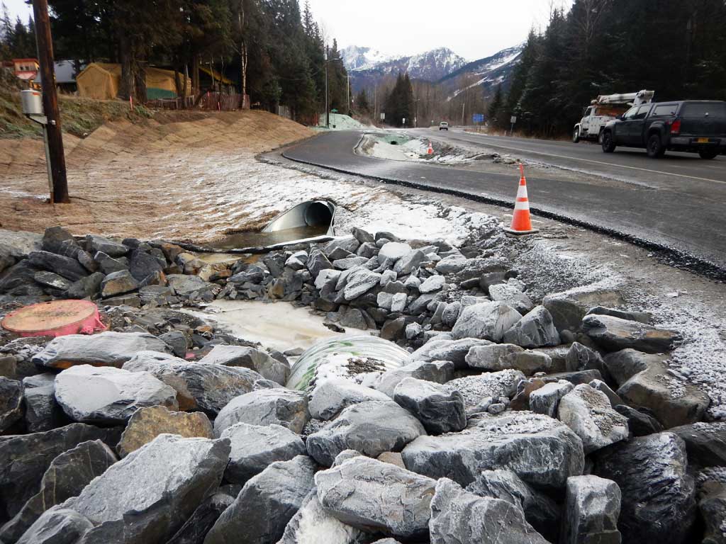
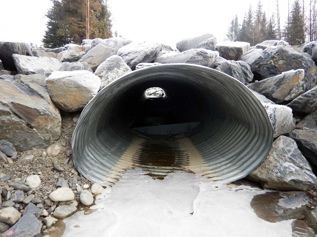
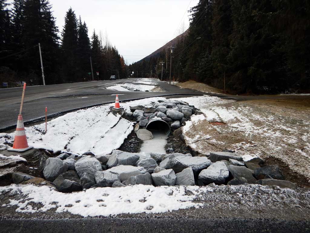
Road Name: Glacier Creek Drive
Datum: NAD83
Quad Name / ITM: Seward D-6
AWC Stream #:
Stream Name: Unnamed
Elevation:
Site Comments: None
Survey UPDATE-GIRD1
Project Supervisor: Gillian O'Doherty, ADFG
Observers: William Frost
Overall Fish Passage Rating:
Tidal:
Backwatered:
Step Pools:
Construction Year: 2016
Comments: Site submitted by HB Will Frost
Culvert Measurements
| ID: 1 | Structure Type: Pipe-arch (Corrugated aluminum) | Fish Passage Rating: | |||||||||||||||||||||||||||||||||||||||||
|
|
|
|||||||||||||||||||||||||||||||||||||||||
Comments: All measurements taken from habitat permit and have not been verified. Permit specifies baffles to be 6 inches high space 12 feet part. And that 5 feet of sediment and the inlet and outlet be installed. Cuvlert width 4.08 ft. Culvert height 2.75 ft. Culvert length 44 ft. Culvert slope 1.3 ft. |
|||||||||||||||||||||||||||||||||||||||||||
Stream Measurements
|
|
No stream width data available.
Elevations
No elevation data available.
Fish Sampling Efforts
No fish sampling occurred during this survey.
Fish Observations
No fish observations occurred during this survey.
Photos


Questions or comments about this report can be directed to dfg.dsf.webmaster@alaska.gov