Fish Passage Site 20303516
Coordinates (dec. deg.): 60.95970°, -149.15119°
Legal Description: S010N002E17
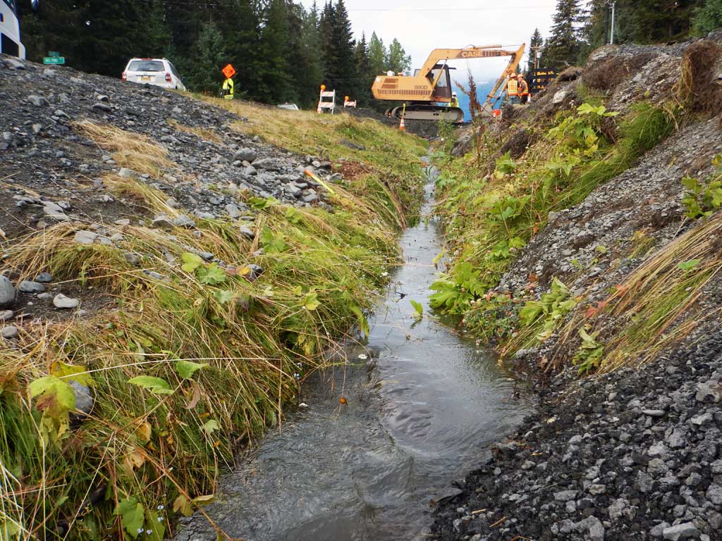
Region: South Central
Road Name: Alyeska Highway
Datum: NAD83
Quad Name / ITM: Seward D-6
AWC Stream #:
Stream Name: Unnamed
Elevation:
Site Comments: None
Survey UPDATE-ALH01
Project Supervisor: Gillian O'Doherty, ADFG
Observers: William Frost
Overall Fish Passage Rating:
Tidal:
Backwatered: No
Step Pools:
Construction Year: 2016
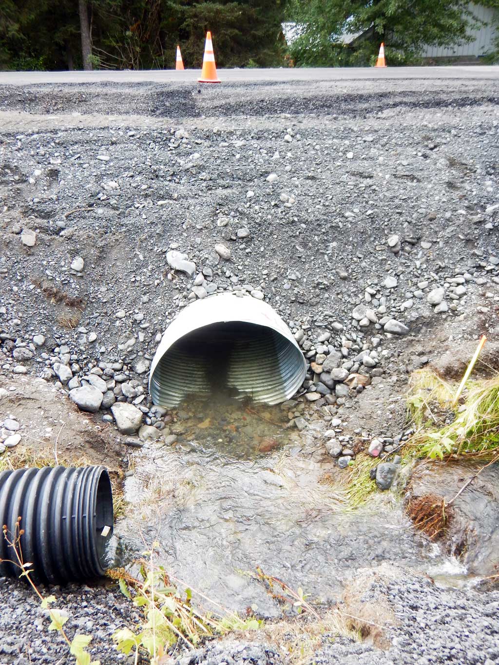
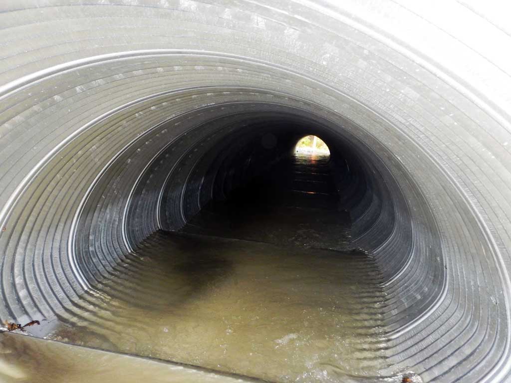
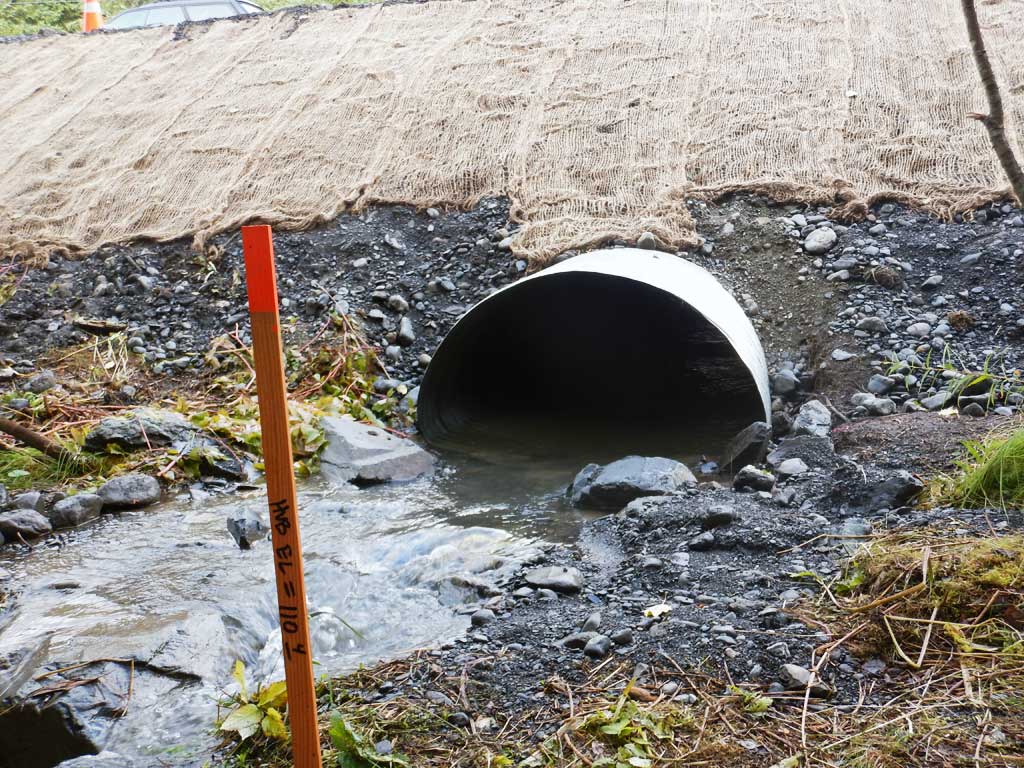
Comments: Baffles inside culvert.
Culvert Measurements
| ID: 1 | Structure Type: Pipe-arch (Corrugated aluminum) | Fish Passage Rating: | |||||||||||||||||||||||||||||||||||||||||
|
|
|
|||||||||||||||||||||||||||||||||||||||||
Comments: All measurements have been taken from plans and permits and have not been verified by project staff. Culvert width 4.1 ft. Culvert height 2.75 ft. Culvert length 50 ft. Culvert slope 3.3%. |
|||||||||||||||||||||||||||||||||||||||||||
Stream Measurements
|
|
No stream width data available.
Elevations
No elevation data available.
Fish Sampling Efforts
No fish sampling occurred during this survey.
Fish Observations
No fish observations occurred during this survey.
Photos

Questions or comments about this report can be directed to dfg.dsf.webmaster@alaska.gov