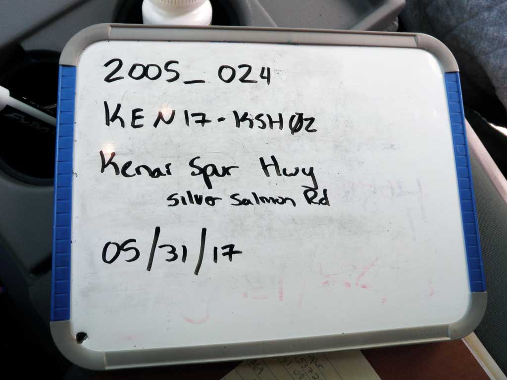
Fish Passage Site 20300974
Coordinates (dec. deg.): 60.53741°, -151.08567°
Legal Description: S005N010W08
Region: South Central
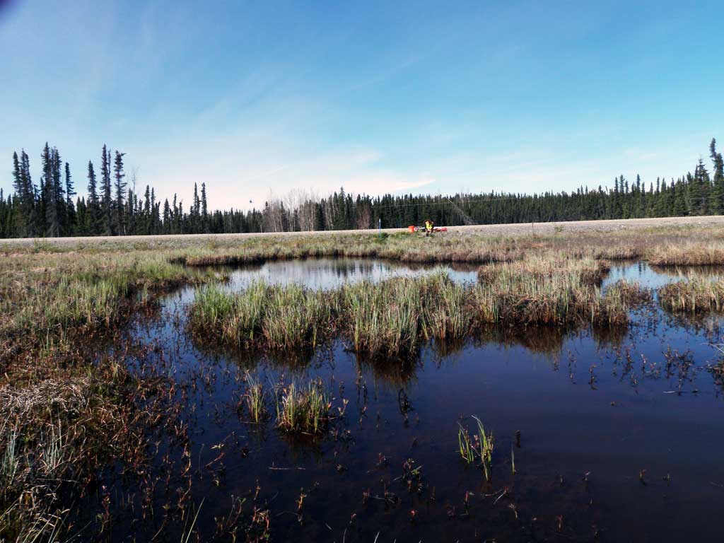
Road Name: Kenai Spur Highway
Datum: NAD83
Quad Name / ITM: Kenai C-3
AWC Stream #: 244-30-10010-2031
Stream Name: Unnamed
Elevation:
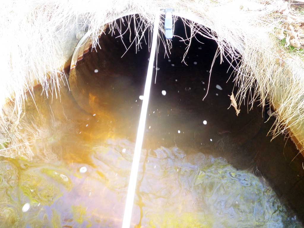
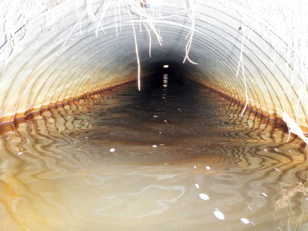
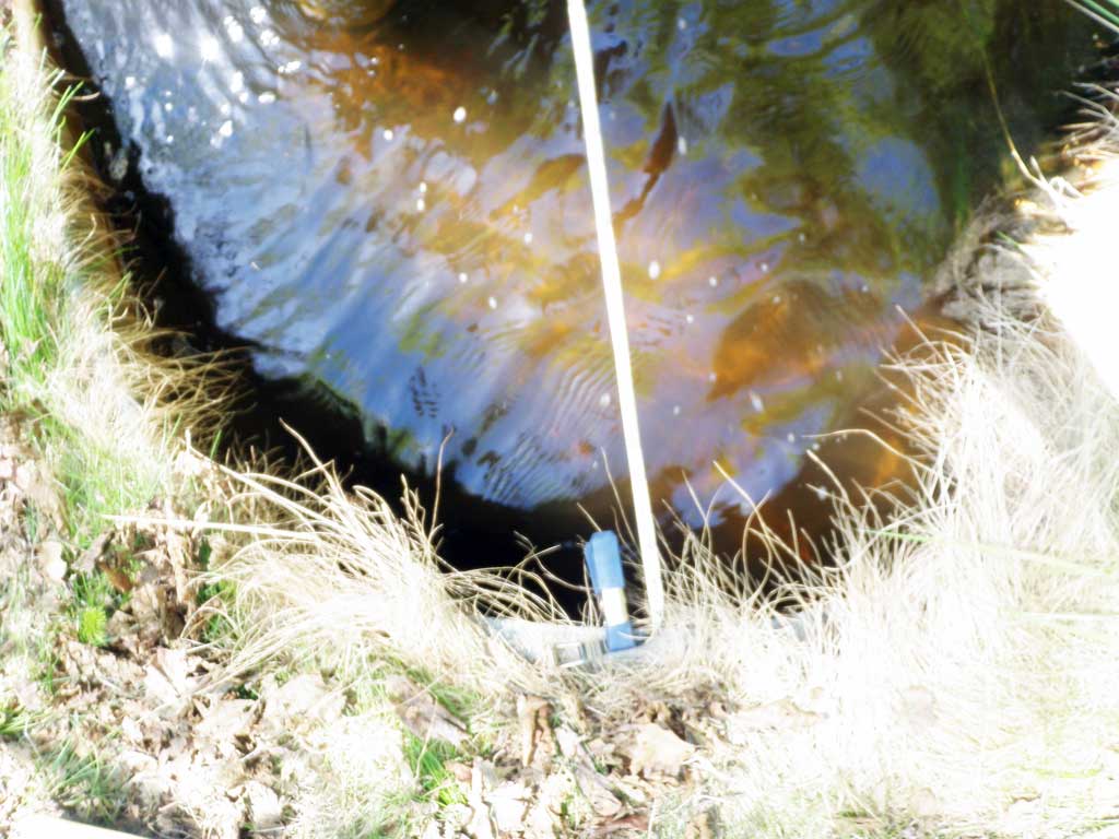
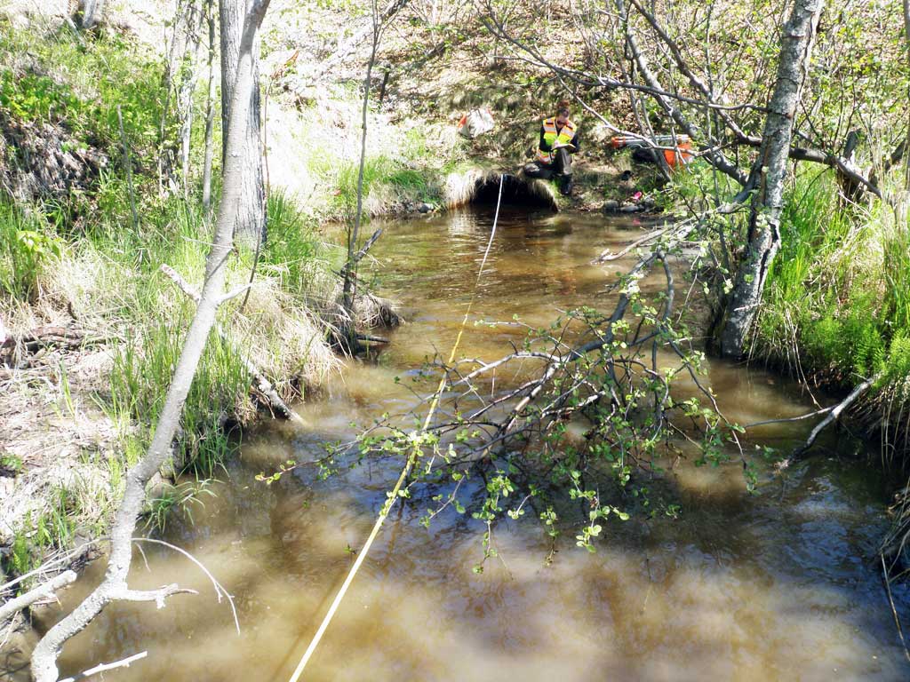
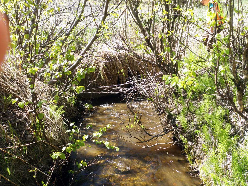
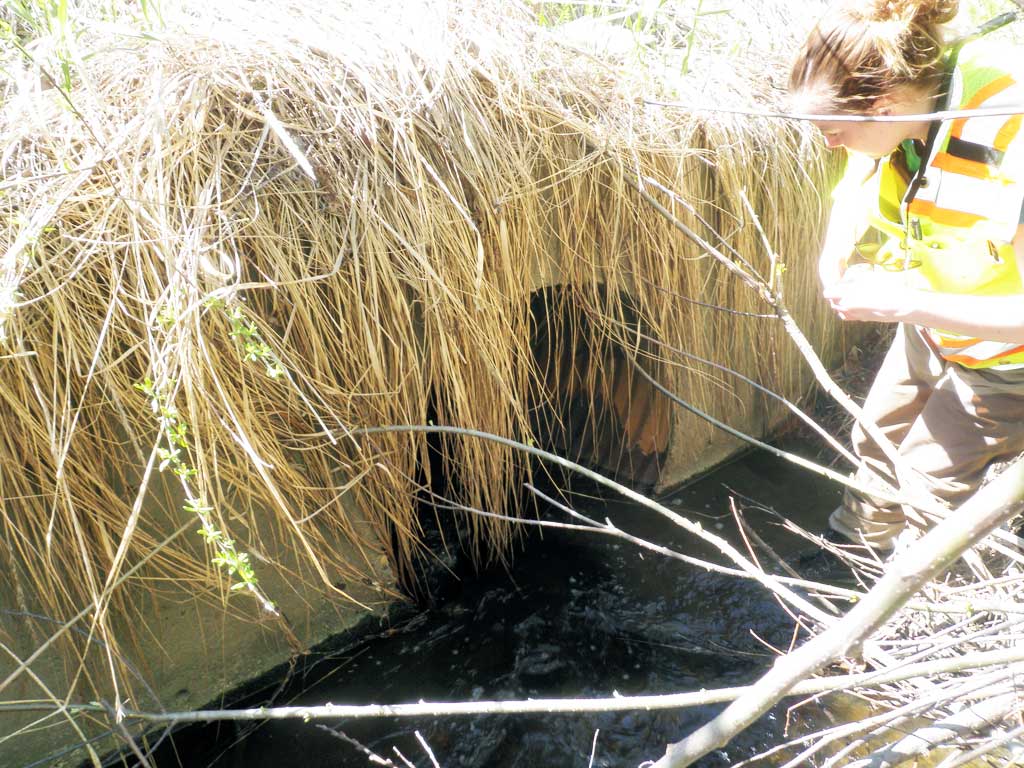
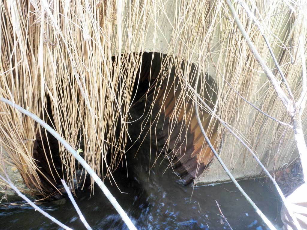
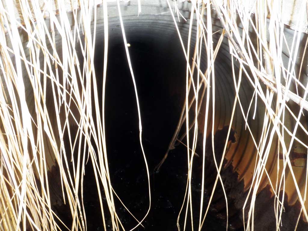
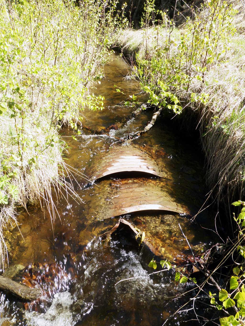
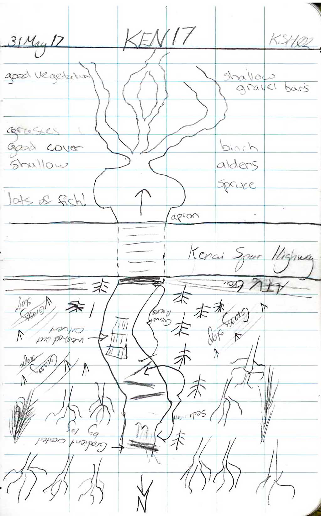
Site Comments: Lower culvert uner Kenai Spur Hwy.
arrow to the right of the survey date below to choose a different report for this site.
Survey KEN17-KSH02
Observers: Maggie Schaffer, Elise Idle
Overall Fish Passage Rating:
Tidal: No
Backwatered: No
Step Pools: No
Construction Year:
Site Observations:
- Constriction ratio gray
- Culvert gradient red
- Compound gradient in pipe
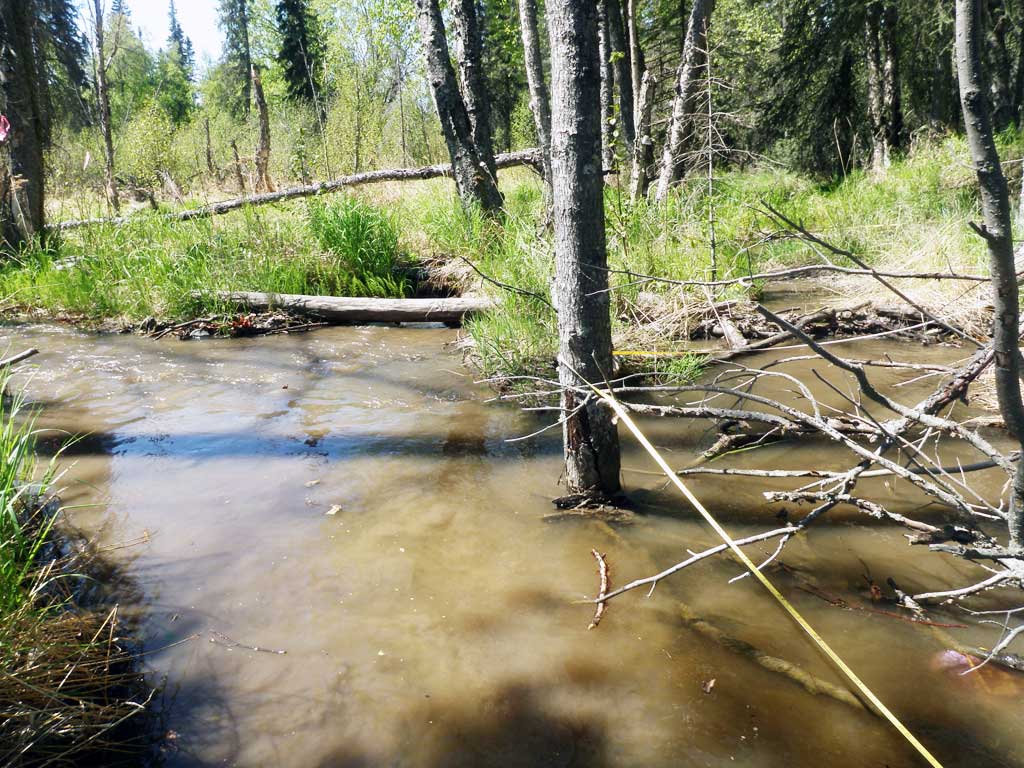
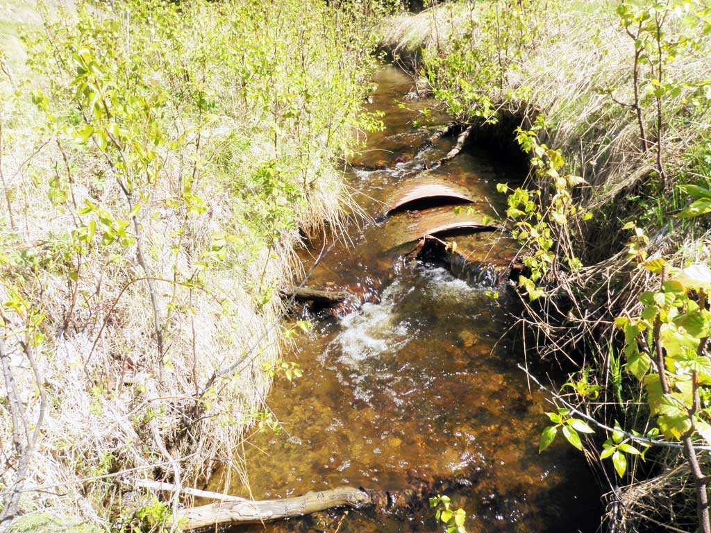
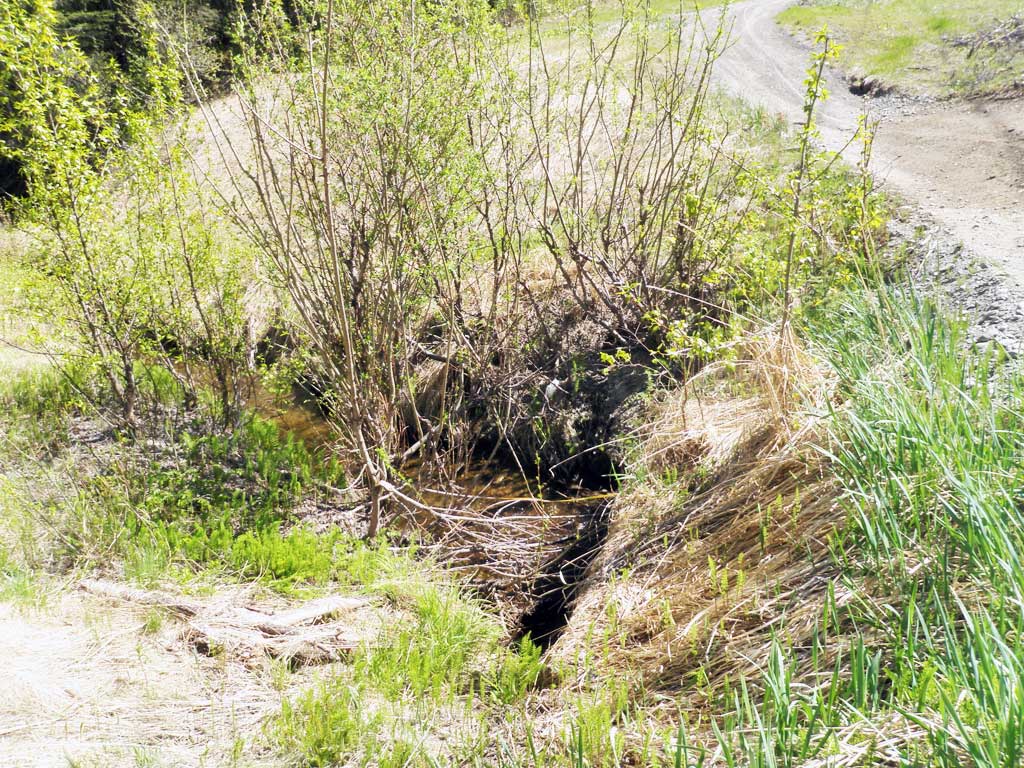
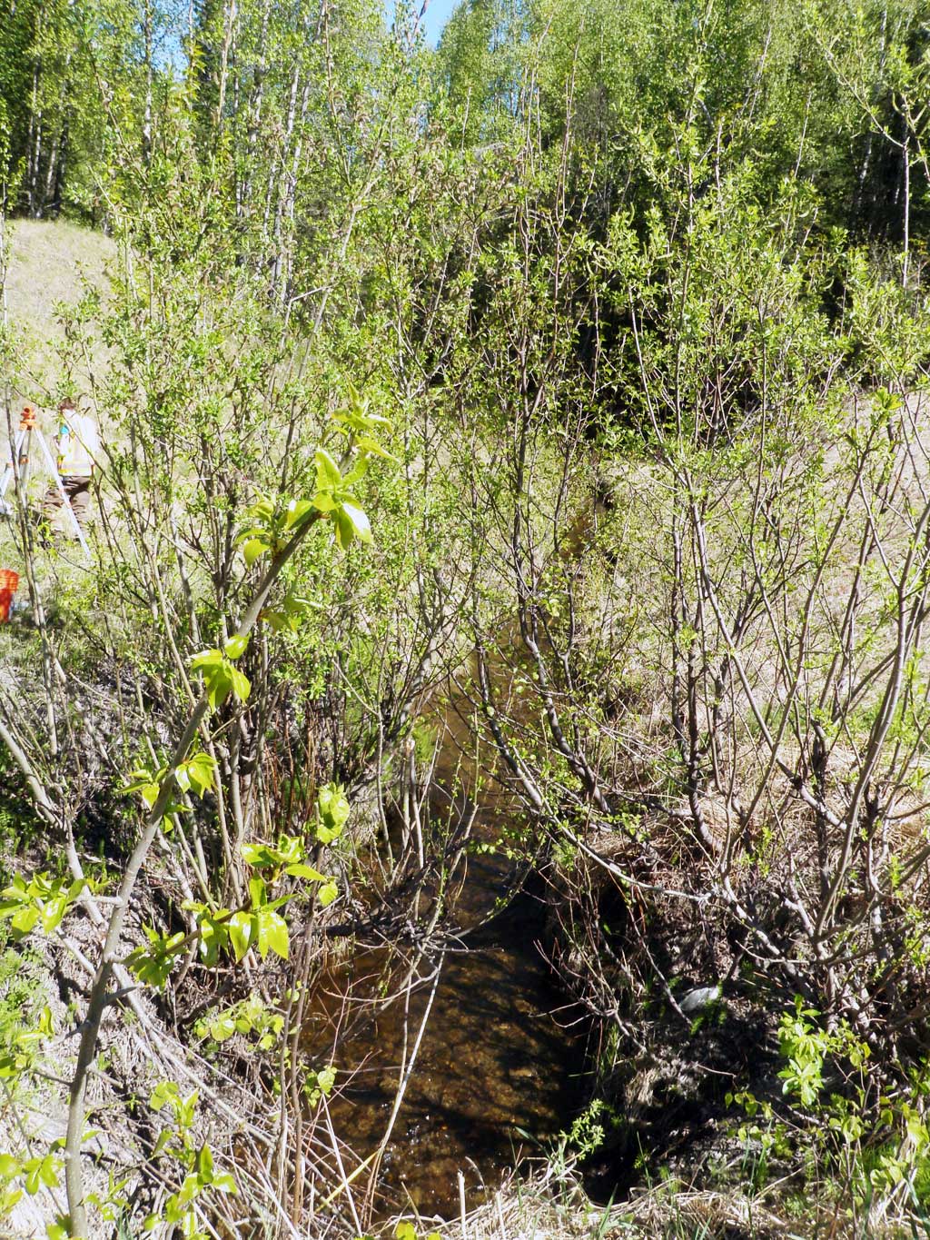
Comments: Culvert information and assessment data collected and submitted by USFWS. Stream splits into 4 channels downstream at about 30 feet from outlet. Lots of fish. Looks like upstream culvert on old road grade has been removed, but the remnants of the old culvert are still in the creek. Elevations erroneous could not be used to rate.
Culvert Measurements
| ID: 1 | Structure Type: Circular pipe (Corrugated steel) | Fish Passage Rating: | |||||||||||||||||||||||||||||||||||||||||
|
|
|
|||||||||||||||||||||||||||||||||||||||||
Culvert Observations:
|
|||||||||||||||||||||||||||||||||||||||||||
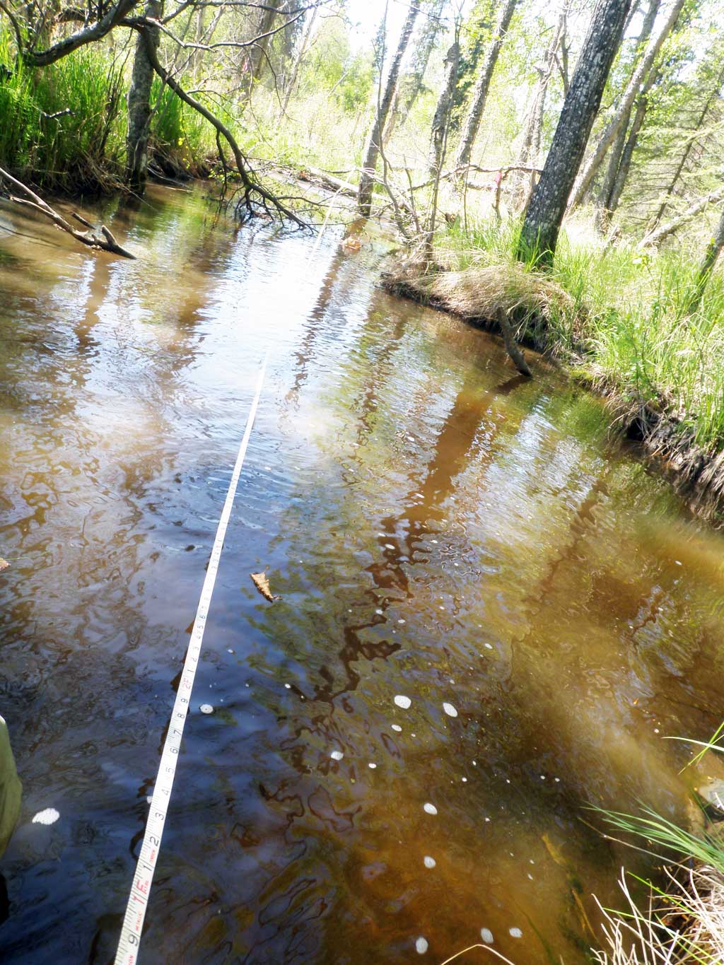
Stream Measurements
|
|
| Stream Width Type | Distance From Crossing (ft) |
Stream Width (ft) |
|---|---|---|
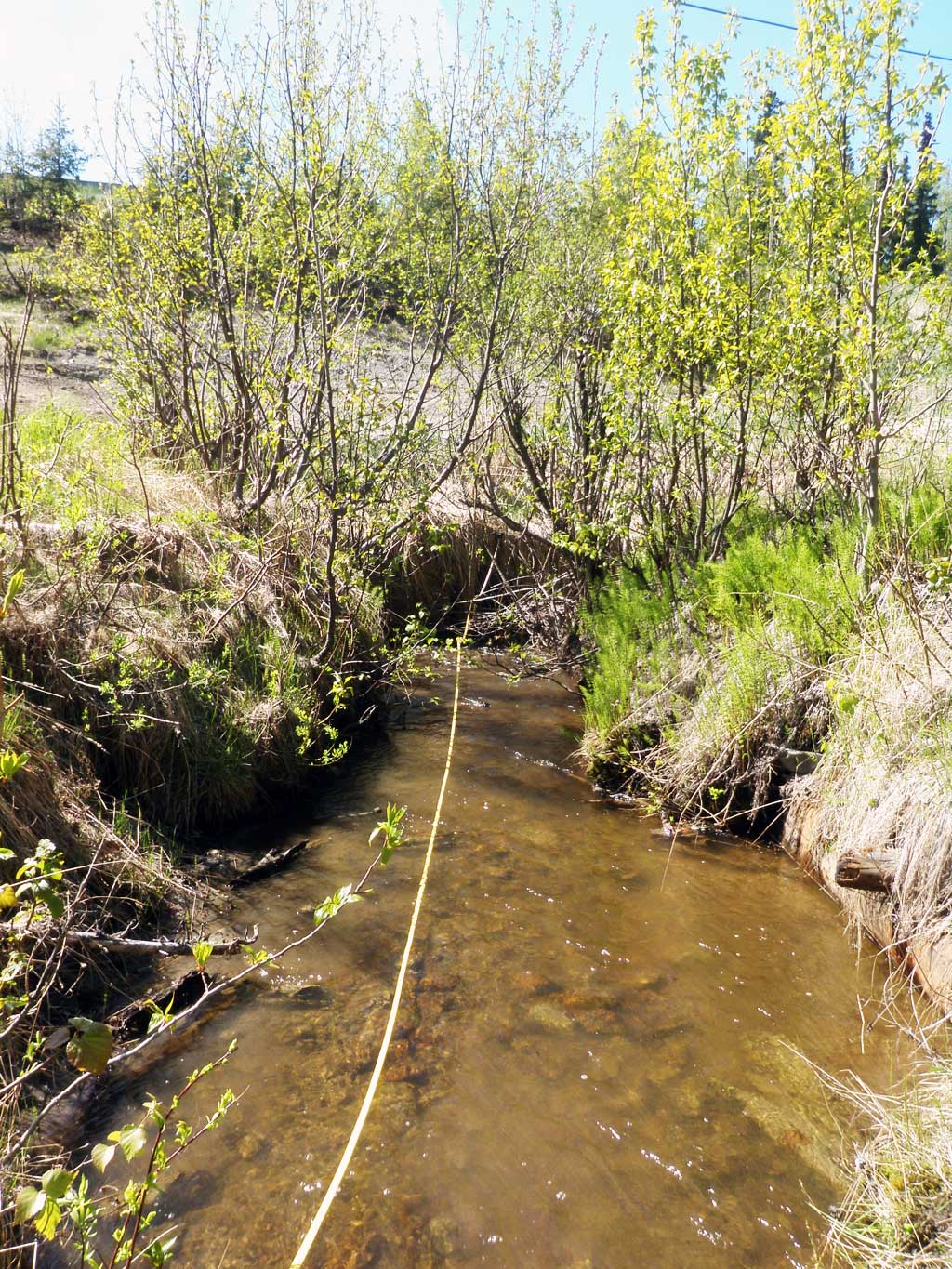
| Upstream ordinary high water | 25.0 | 5.80 |
| Upstream ordinary high water | 56.0 | 5.60 |
| Upstream ordinary high water | 88.0 | 3.70 |
| Upstream ordinary high water | 125.0 | 5.90 |
Elevations
No elevation data available.
Fish Sampling Efforts
| Gear Type: Minnow Trap (A) | Trap Duration(h): 1.5 | |
| Comments: Trap set about 5 feet downstream | ||
| Gear Type: Minnow Trap (B) | Trap Duration(h): 1.25 | |
| Comments: Trap set about 120 feet upstream | ||
Fish Observations
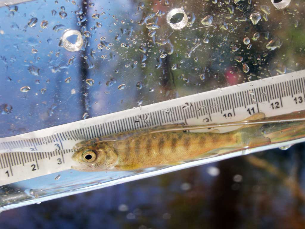
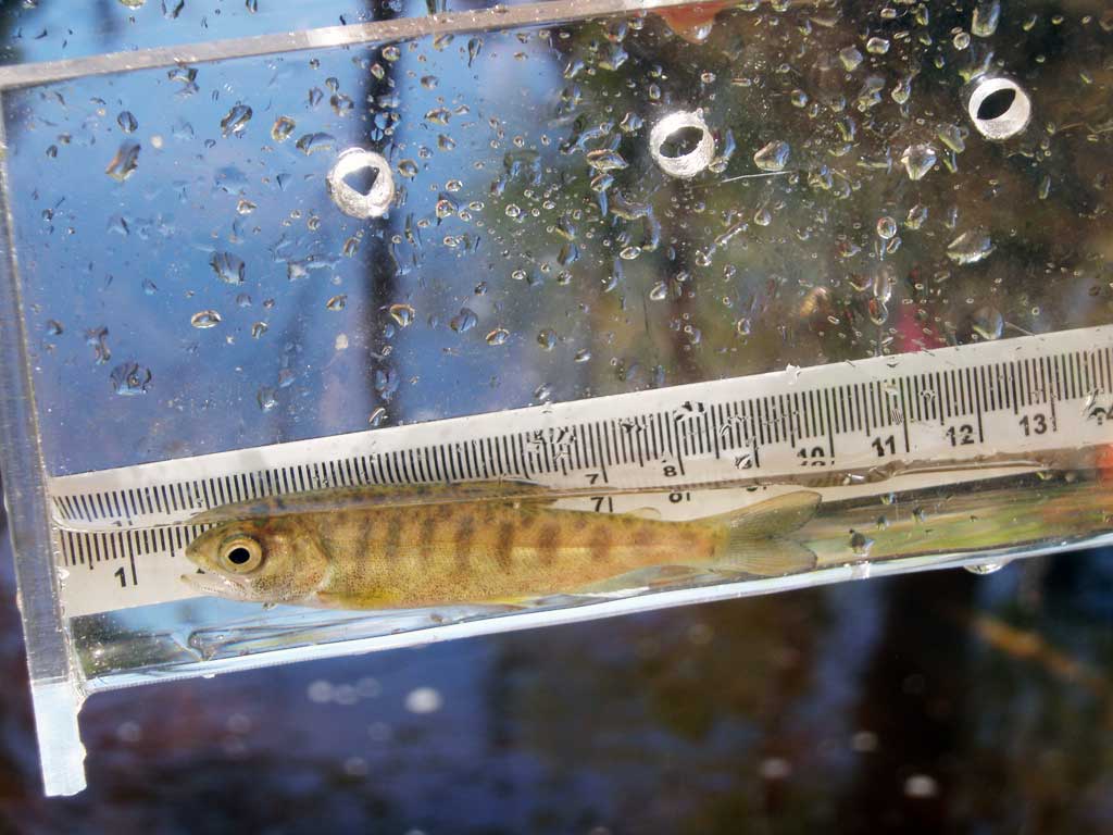
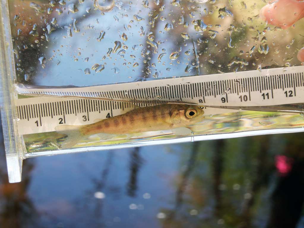
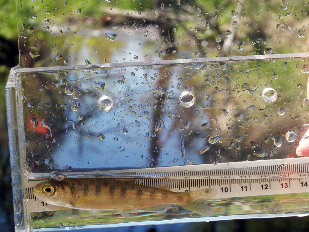
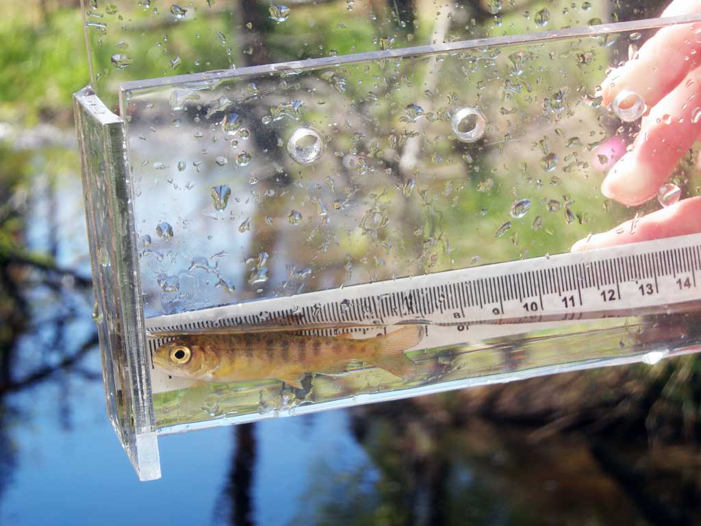
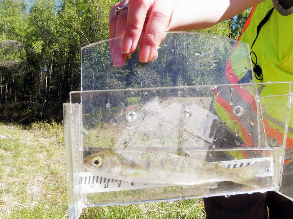
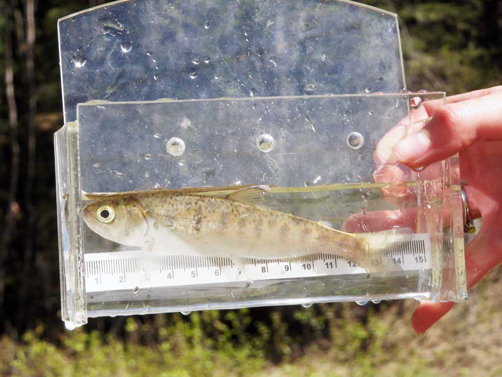
| Species: juvenile coho salmon | Life History: Anadromous | ||
| Total Fish Observed: 61 | Fish Measured: 61 | Fork Lengths (mm) Min: 55 Max: 147 Mean: 66 | |
| Collected/Observed by Gear Type: Upstream Minnow Trap (2) Downstream Minnow Trap (59) | |||
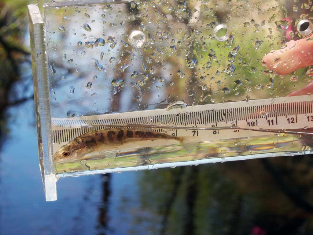
| Species: stickleback-unspecified | Life History: Unknown | ||
| Total Fish Observed: 6 | Fish Measured: 6 | Fork Lengths (mm) Min: 69 Max: 77 Mean: 71 | |
| Collected/Observed by Gear Type: Downstream Minnow Trap (6) | |||
Photos
Questions or comments about this report can be directed to dfg.dsf.webmaster@alaska.gov