Fish Passage Site 20300966
Coordinates (dec. deg.): 60.47641°, -151.13934°
Legal Description: S005N011W36
Region: South Central
Road Name: College Loop Road
Datum: NAD83
Quad Name / ITM: Kenai B-4
AWC Stream #: 244-30-10010-2030
Stream Name: Slikok Creek
Elevation:
Site Comments: None
arrow to the right of the survey date below to choose a different report for this site.
Survey UPDATE-3
Project Supervisor: Gillian O'Doherty, ADFG
Observers: Gillian O'Doherty, Ben Histand
Overall Fish Passage Rating:
Tidal: No
Backwatered: No
Step Pools: No
Construction Year: 2007
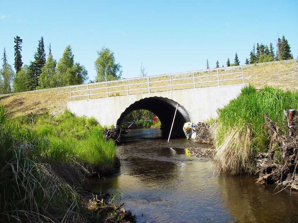
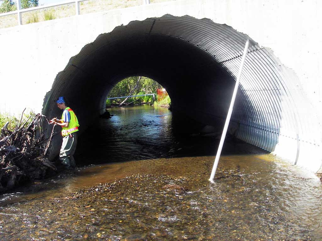
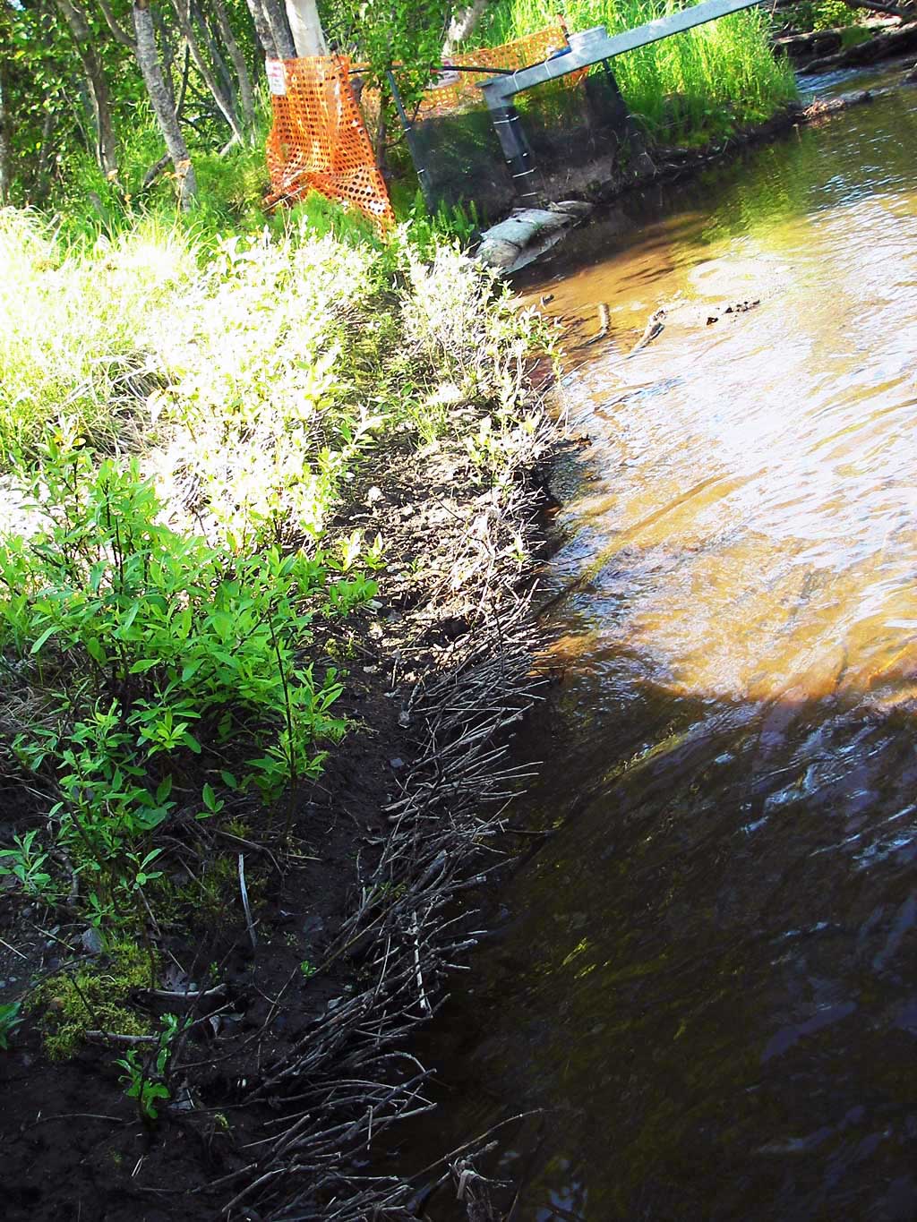
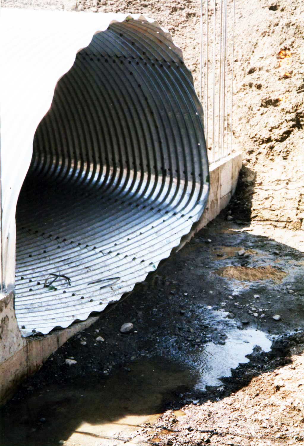
Comments: . Resurvey of KPCS1NK001. Slikok Creek at College Loop Road.
Culvert Measurements
| ID: 1 | Structure Type: Circular pipe (Structural steel plate) | Fish Passage Rating: | |||||||||||||||||||||||||||||||||||||||||
|
|
|
|||||||||||||||||||||||||||||||||||||||||
Comments: % Slope = (Headwater surface elevation - tailwater elevation/ length culvert) * 100 |
|||||||||||||||||||||||||||||||||||||||||||
Stream Measurements
|
|
| Stream Width Type | Distance From Crossing (ft) |
Stream Width (ft) |
|---|---|---|
| Upstream ordinary high water | 190.0 | 10.80 |
| Upstream ordinary high water | 242.0 | 13.20 |
| Upstream ordinary high water | 290.0 | 12.50 |
Elevations
| Locator ID | Culvert Number |
River Distance (ft)1 |
Distance From Crossing (ft)2 |
Relative Elevation (ft) |
|---|---|---|---|---|
| Outlet Invert | 0.00 | 94.79 | ||
| D/S Water Surface Elev (Tailwater surface) | 0.00 | 95.68 | ||
| U/S Headwater (Headwater surface) | 74.50 | 95.73 | ||
| Inlet Culvert Invert | 74.50 | 94.56 | ||
| U/S Water Surface Elev | 94.80 | 96.22 | ||
| U/S Grade Ctrl (Thalweg) (Tail of first upstream resting pool) | 94.80 | 95.67 |
Notes:
- River distance is measured continuously throughout the survey reach along the thalweg of the stream.
- Measured from each end of the crossing along the thalweg of the stream.
Fish Sampling Efforts
No fish sampling occurred during this survey.
Fish Observations
No fish observations occurred during this survey.
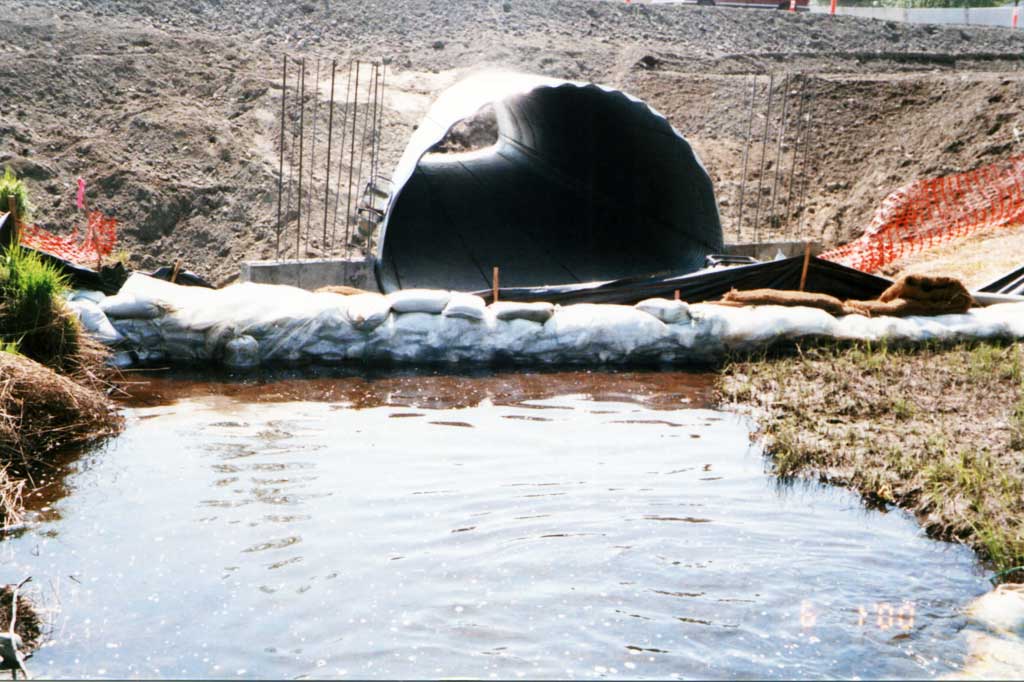
Photos

Questions or comments about this report can be directed to dfg.dsf.webmaster@alaska.gov