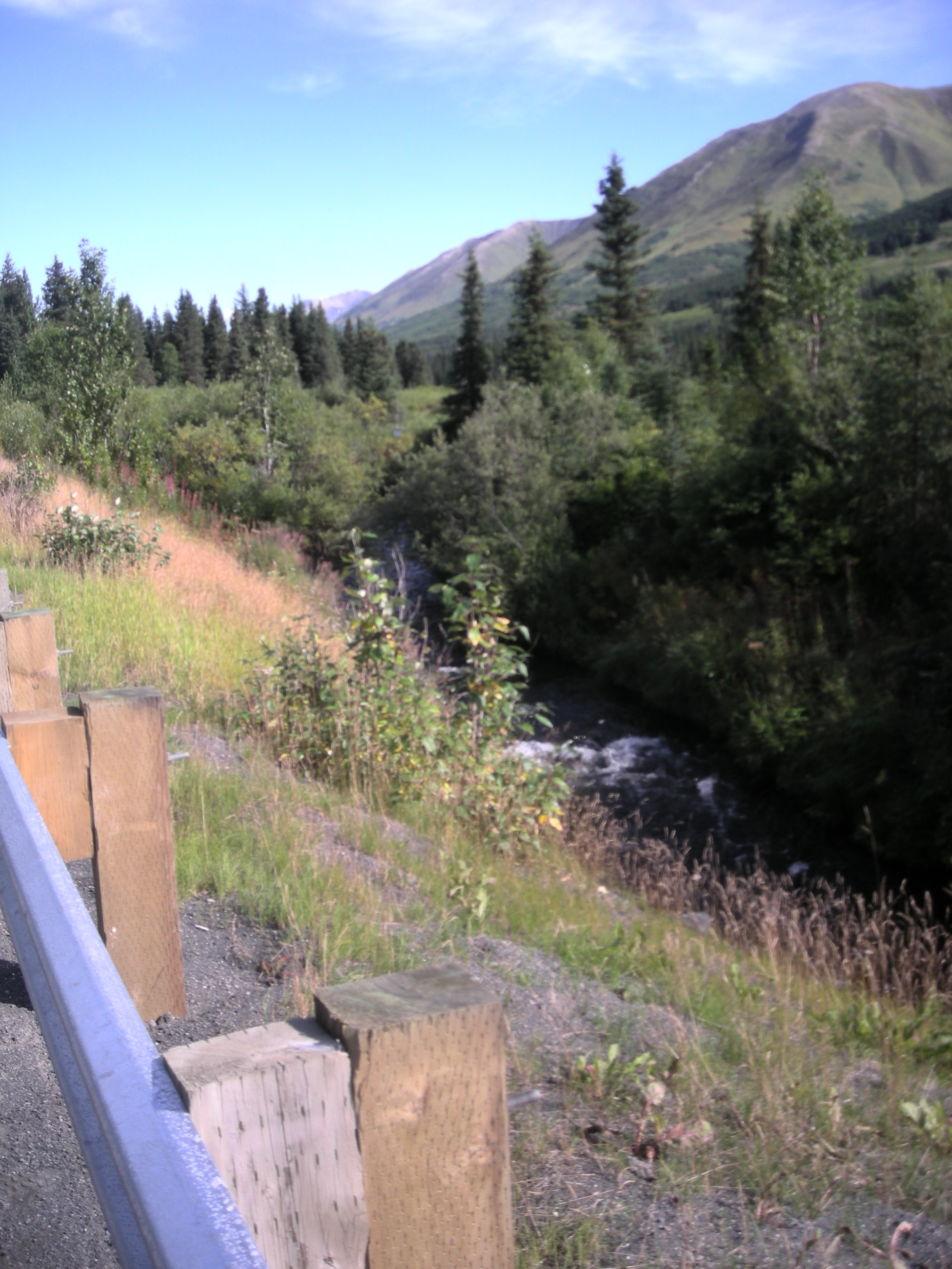
Fish Passage Site 20300947
Coordinates (dec. deg.): 60.59944°, -149.54100°
Legal Description: S006N002W24
Region: South Central
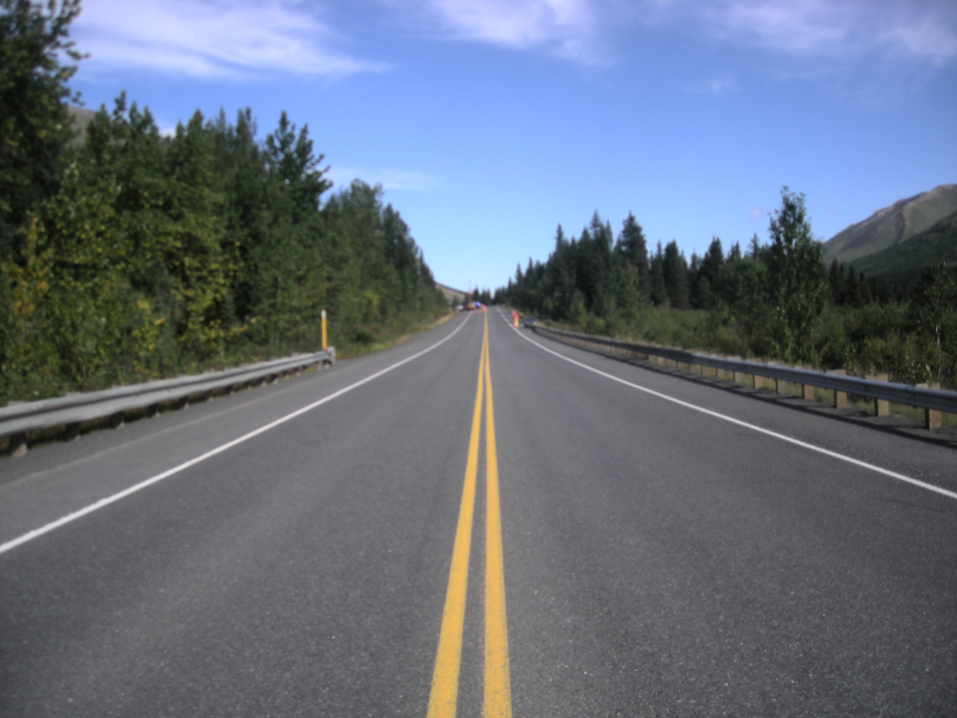
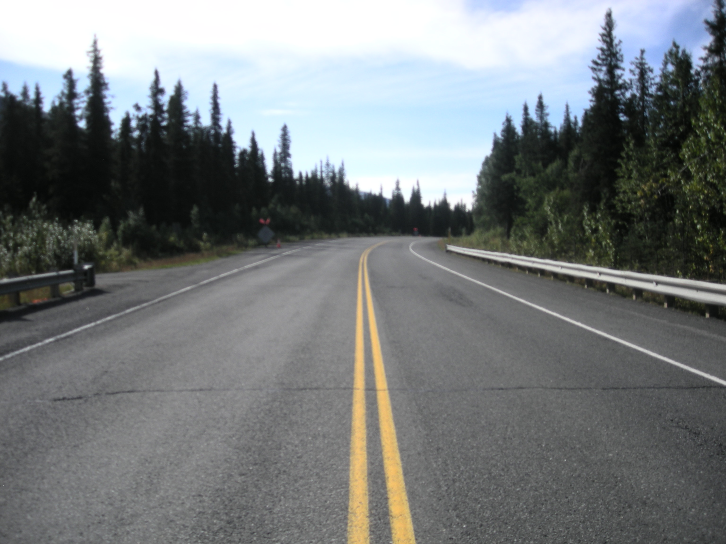
Road Name: Seward Highway
Datum: NAD83
Quad Name / ITM: Seward C-7
AWC Stream #: 244-30-10010-2177-3063
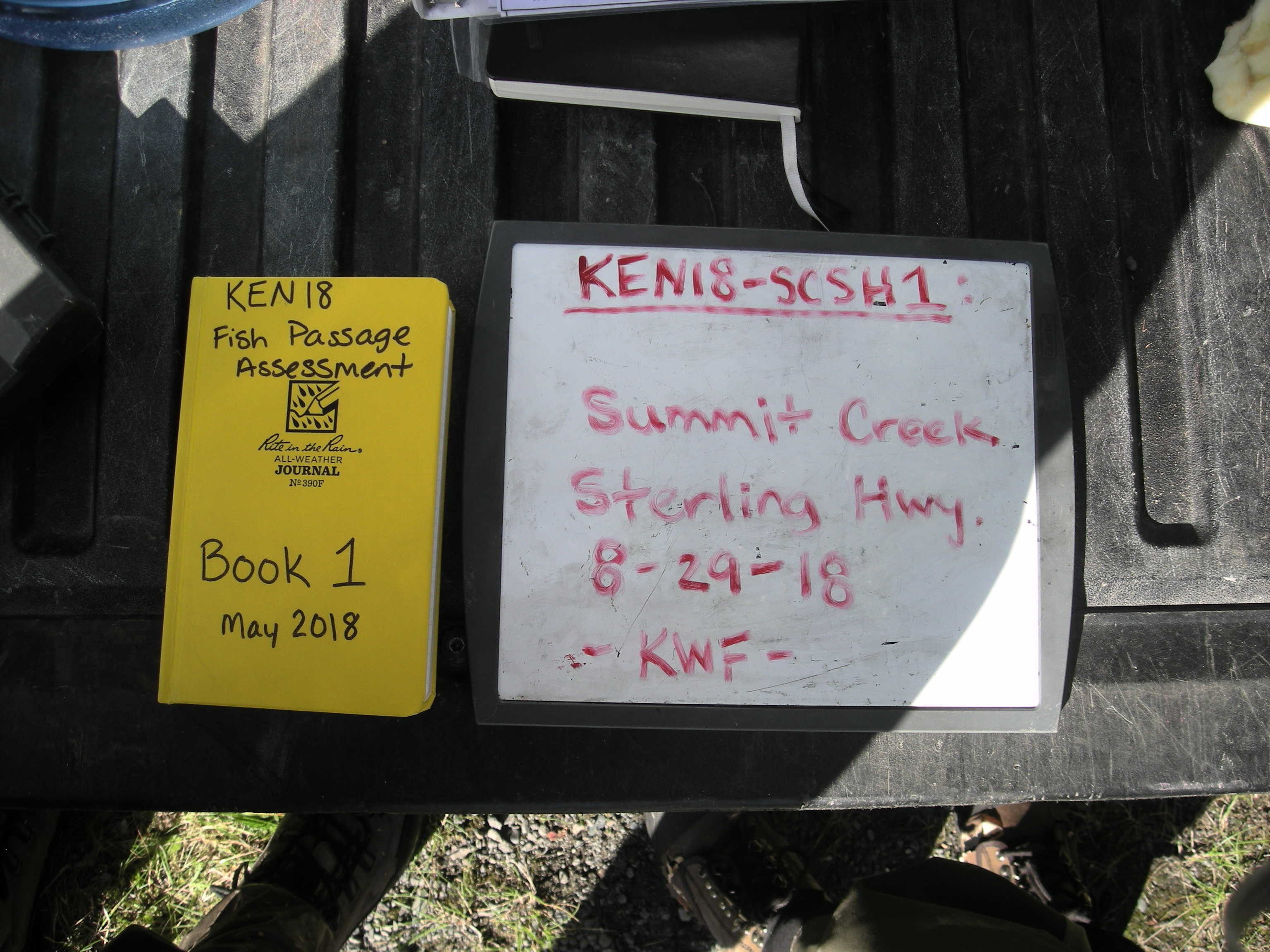
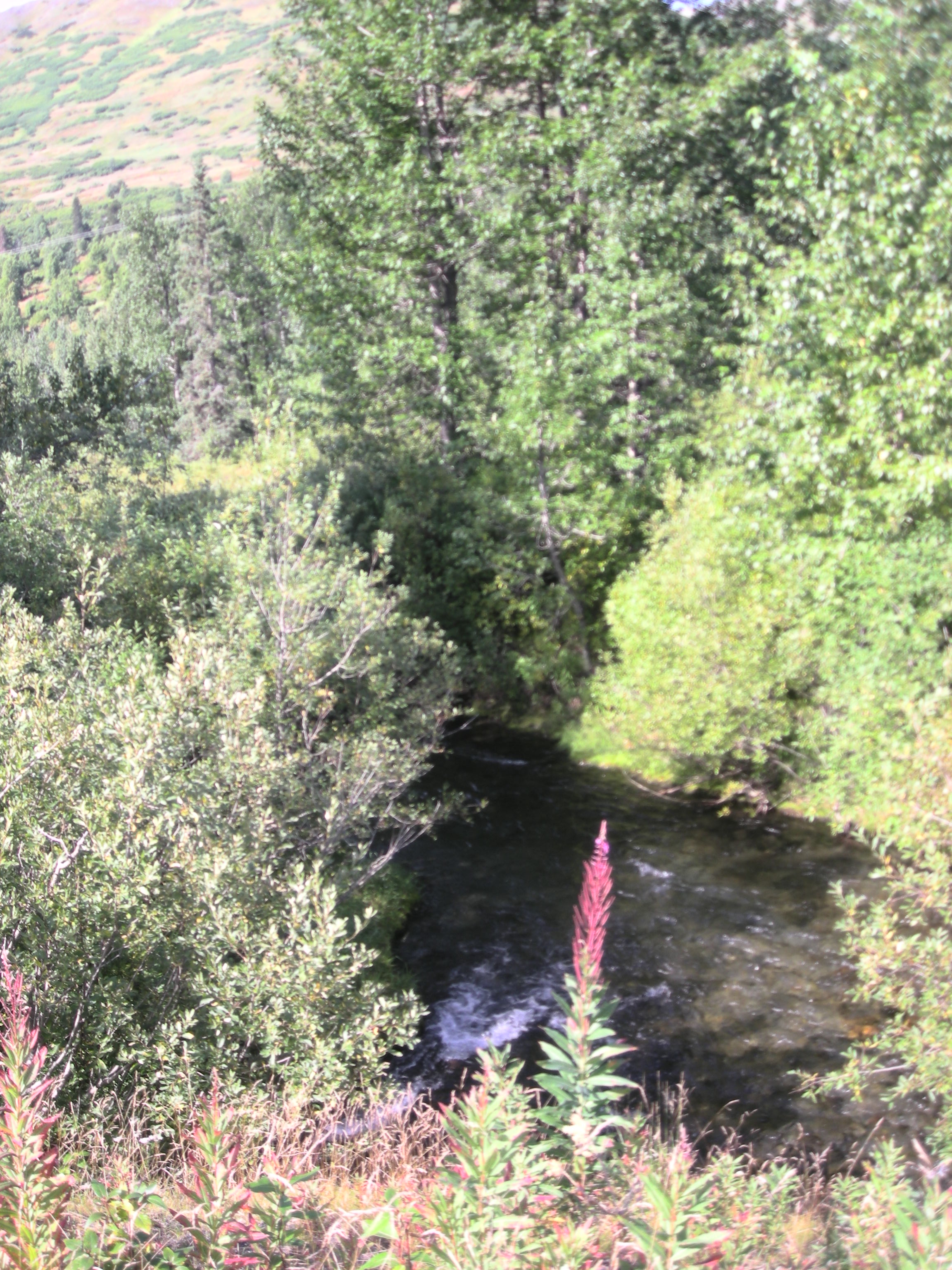
Stream Name: Summit Creek
Elevation:
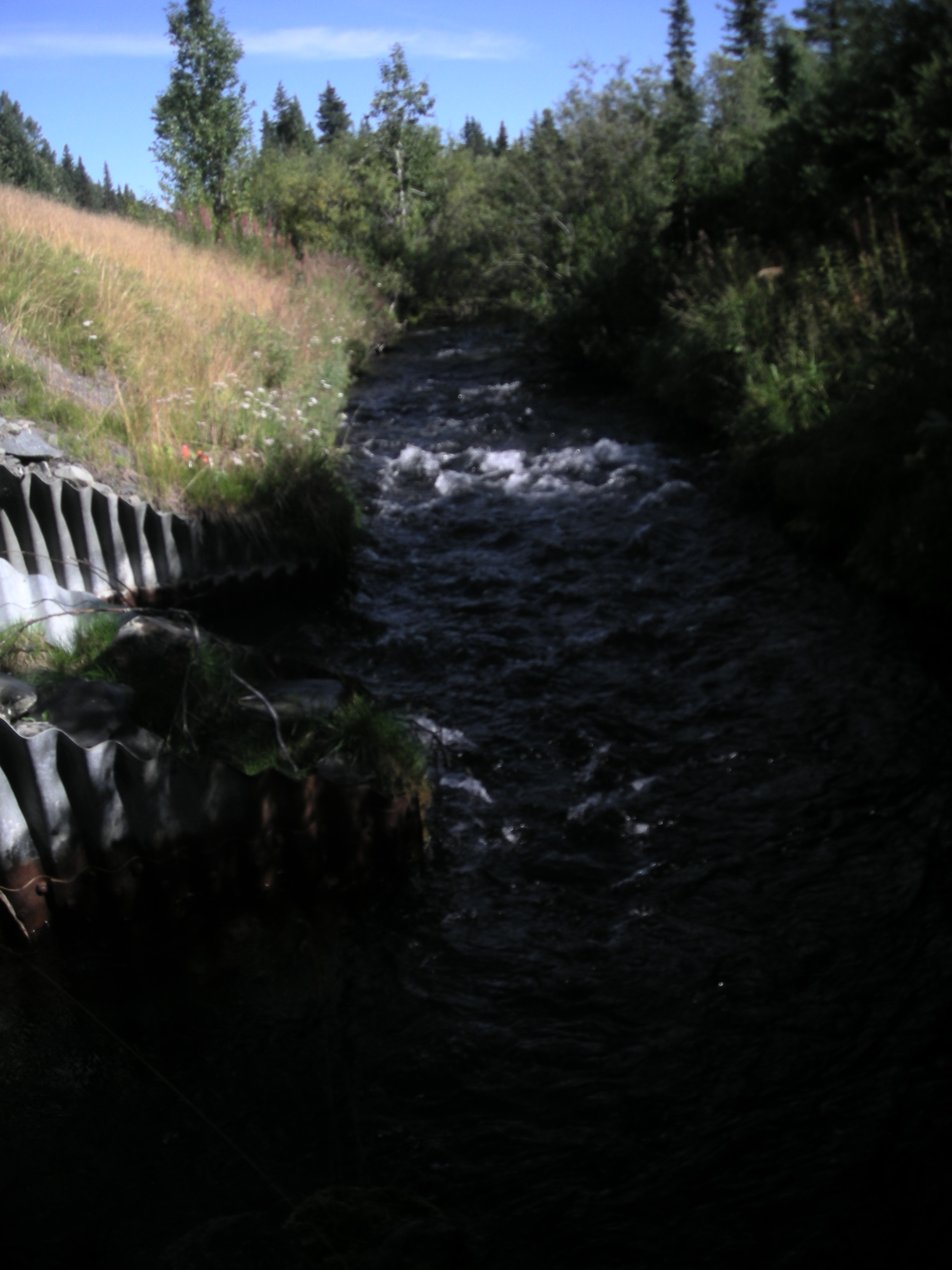
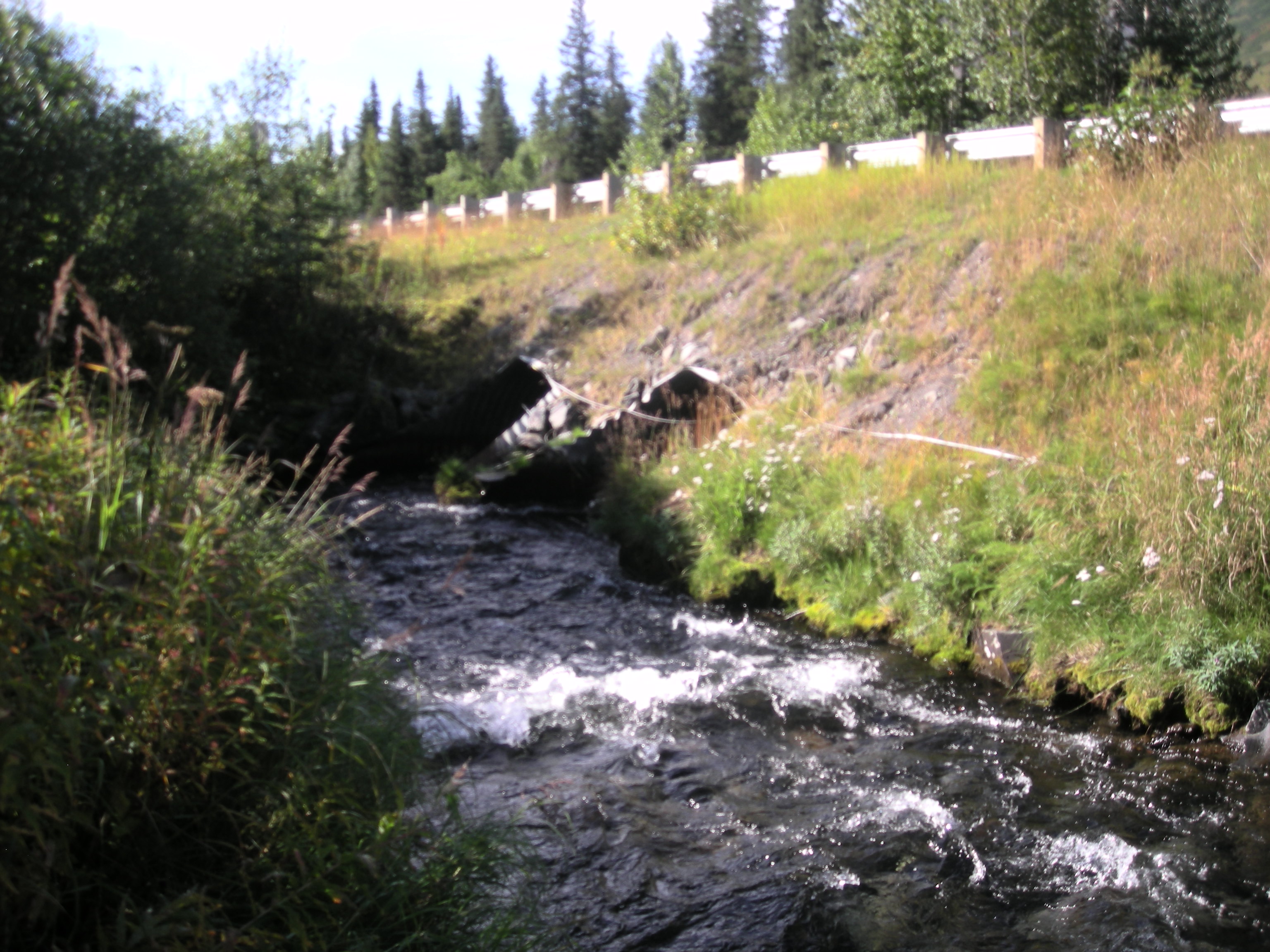
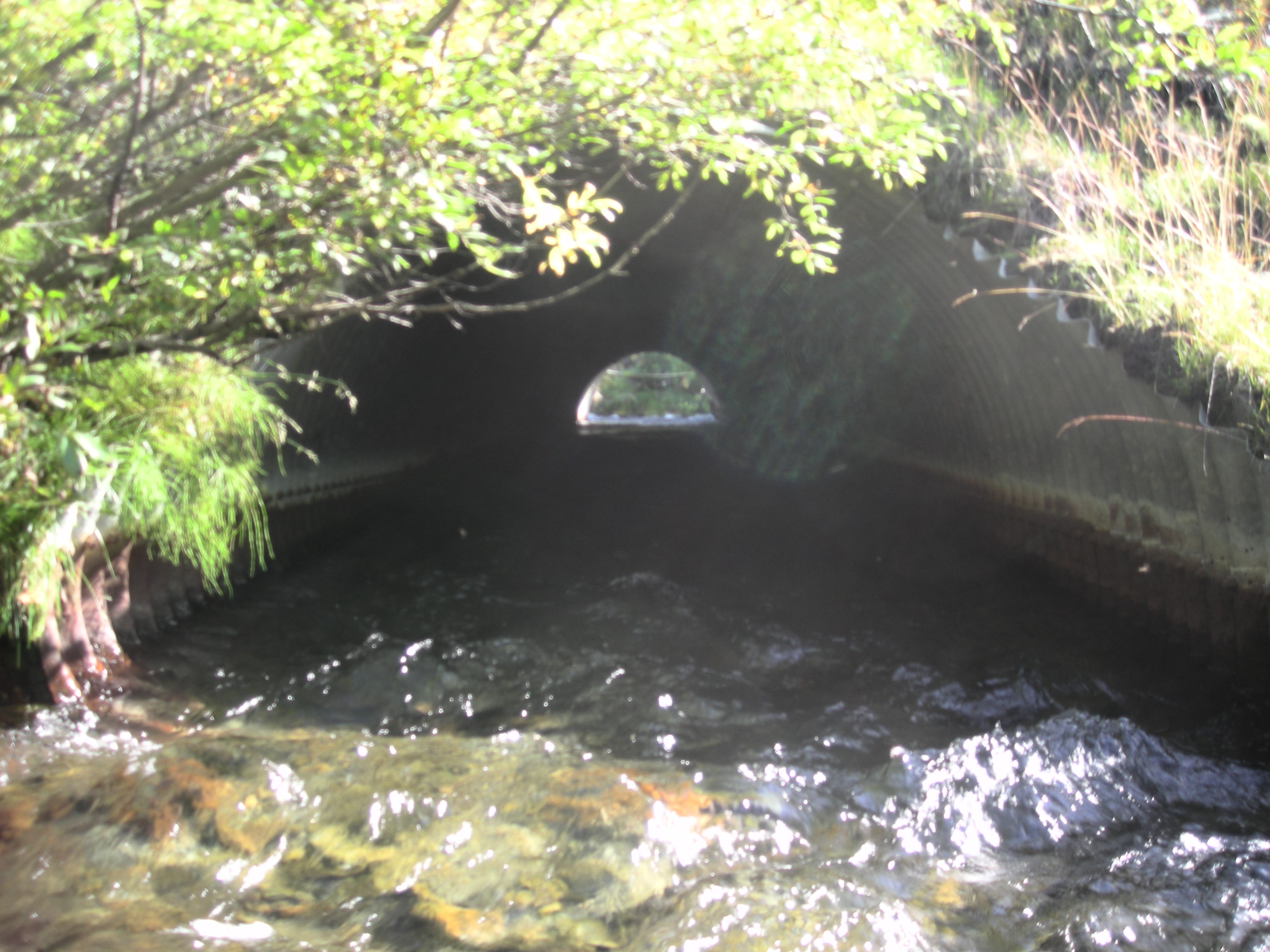
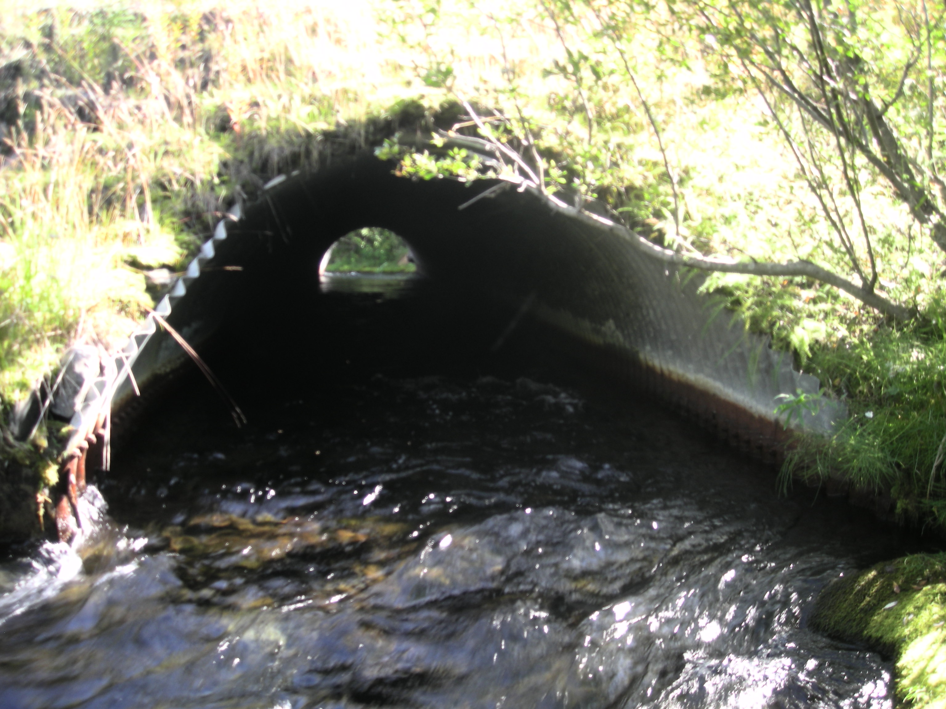
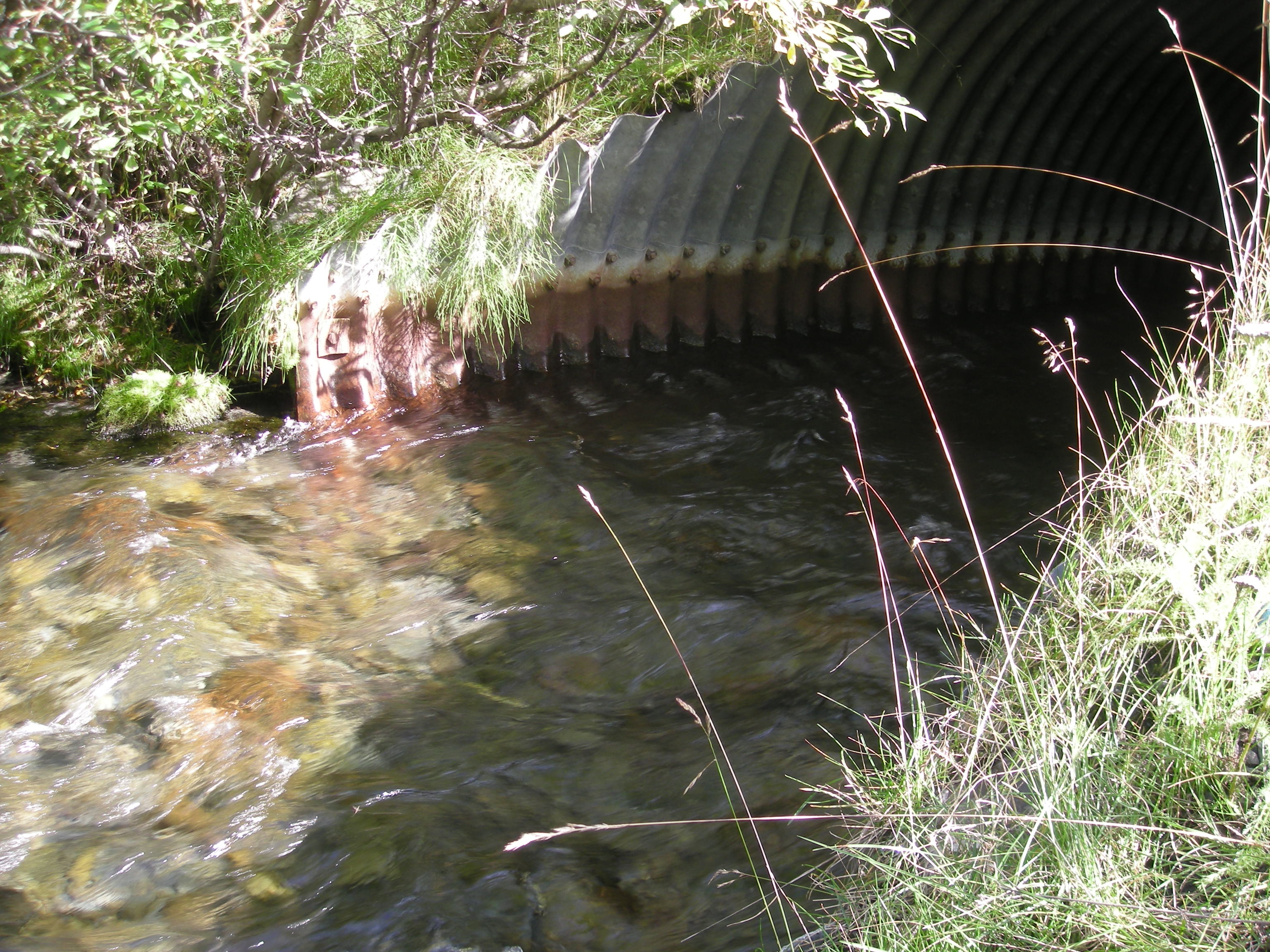
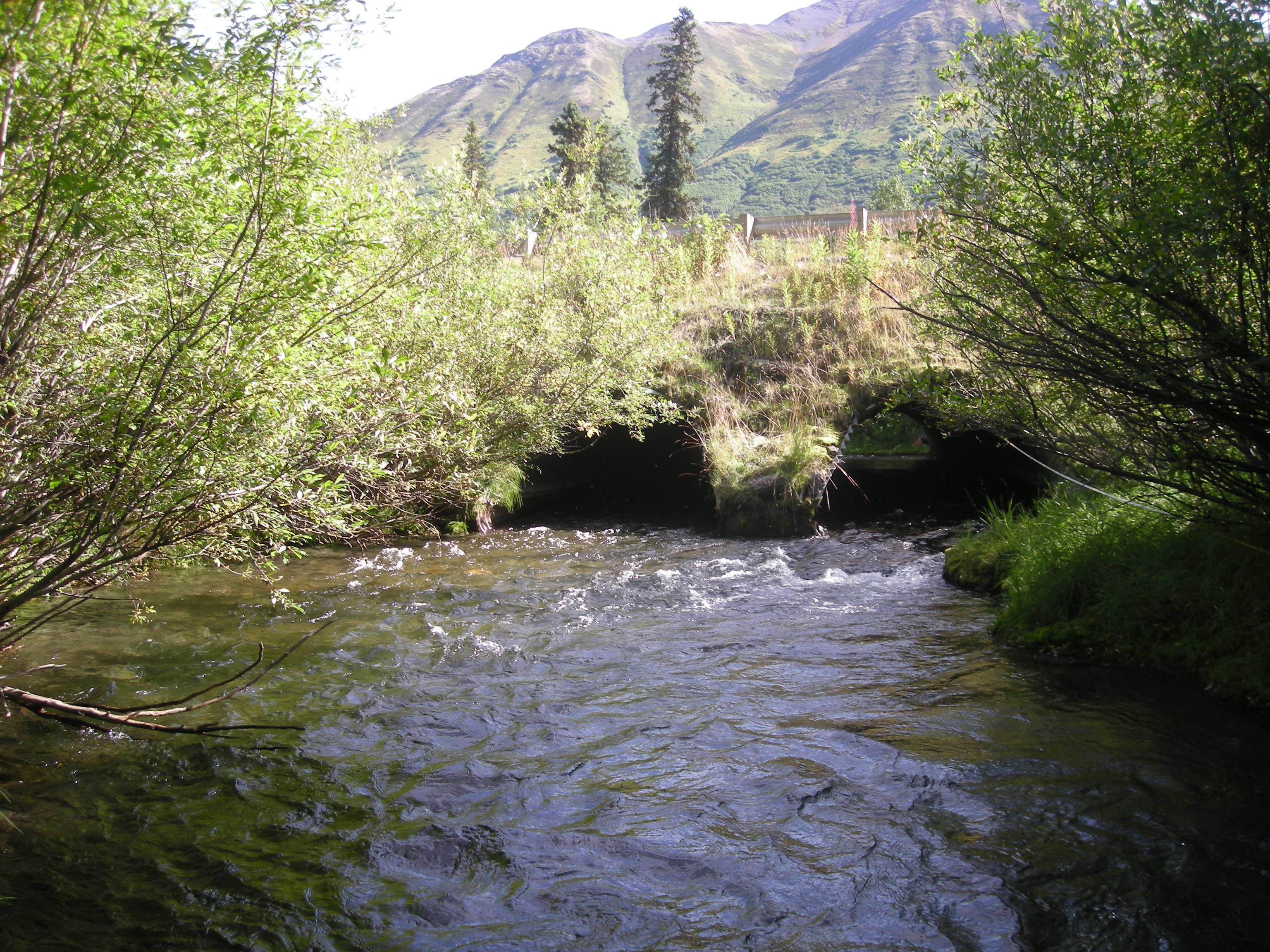
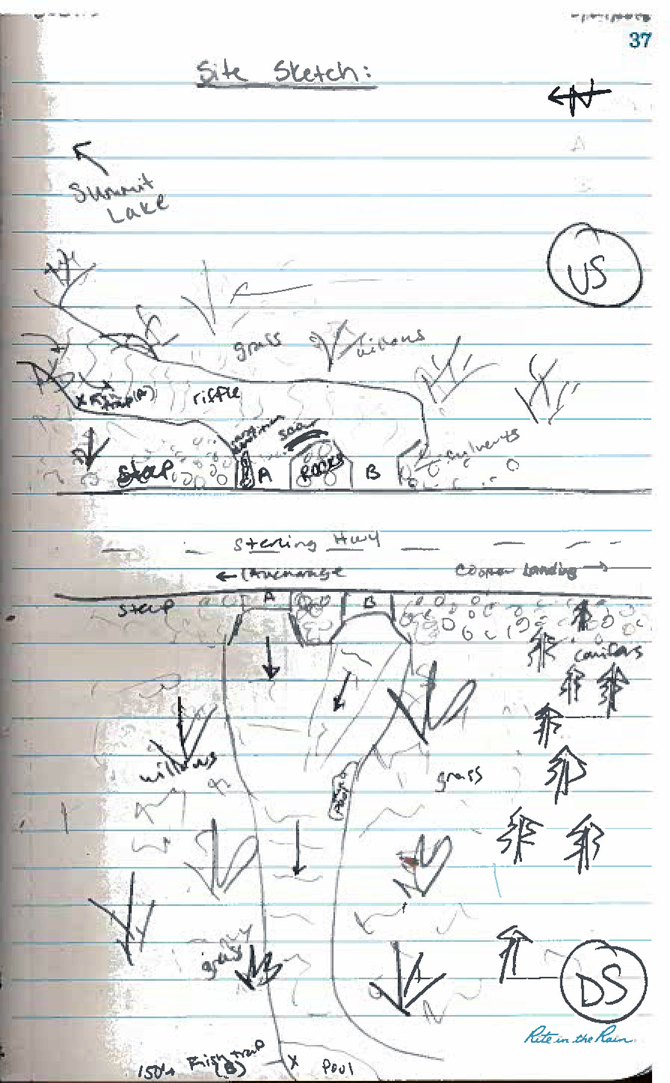
Site Comments: Channel one makes a 90 degree turn at inlet.
arrow to the right of the survey date below to choose a different report for this site.
Survey KEN18-SCSH1
Observers: Maggie Harings, Alice Main
Overall Fish Passage Rating:
Tidal: No
Backwatered: No
Step Pools: No
Construction Year:
Site Observations:
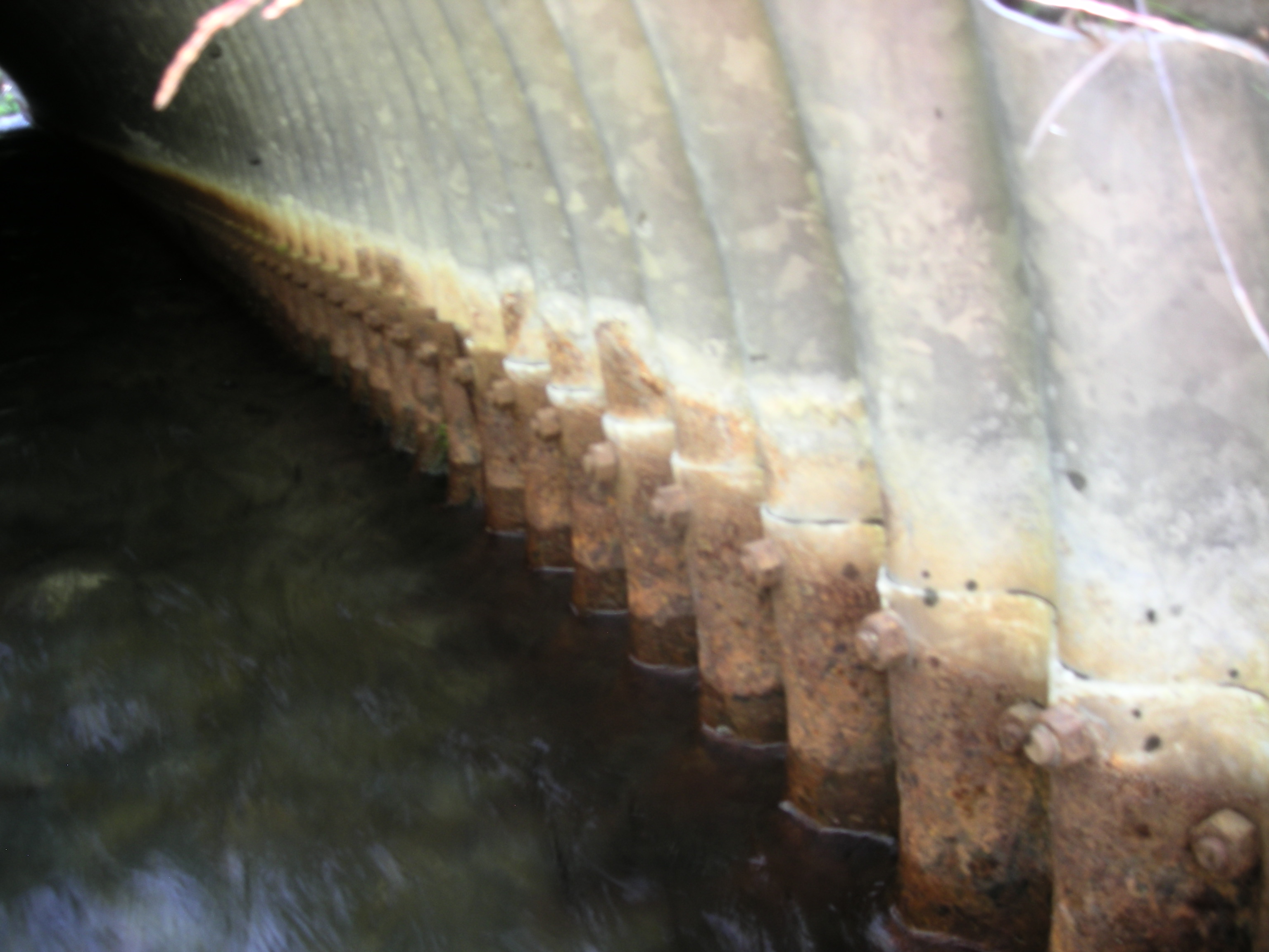
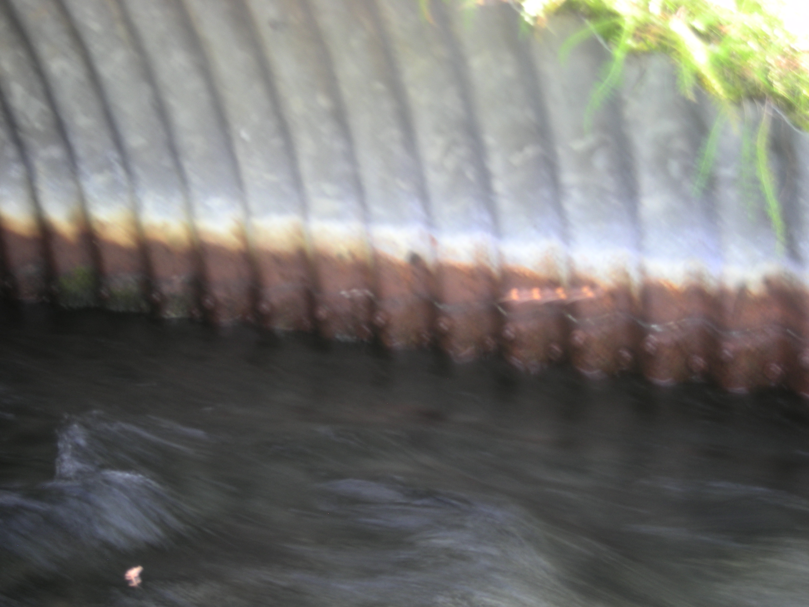
- Culvert sagging in middle
- Sediment accumulation
- Improper bedding
- Culvert is poorly aligned
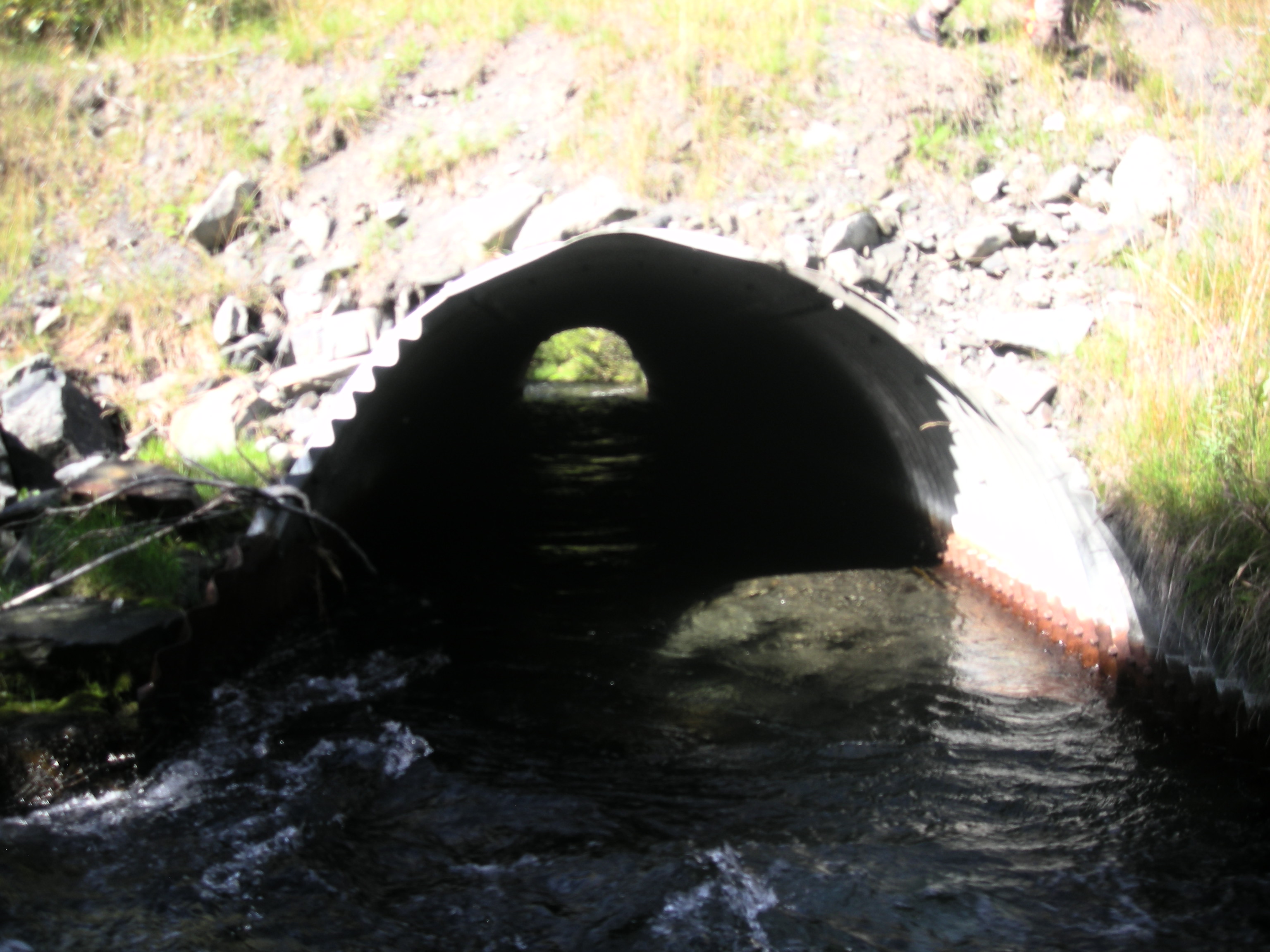
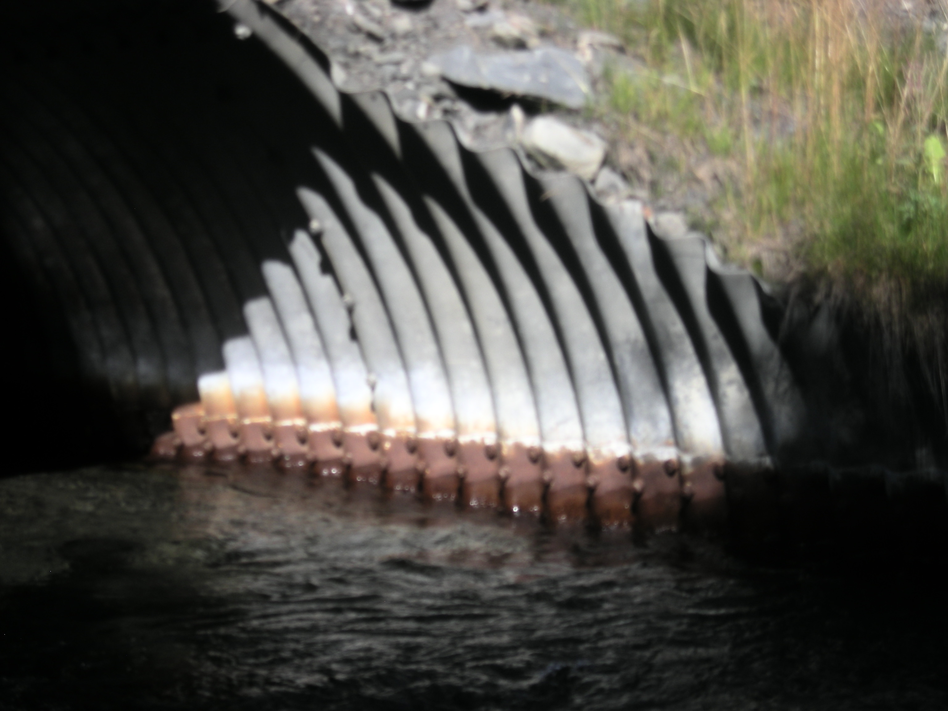
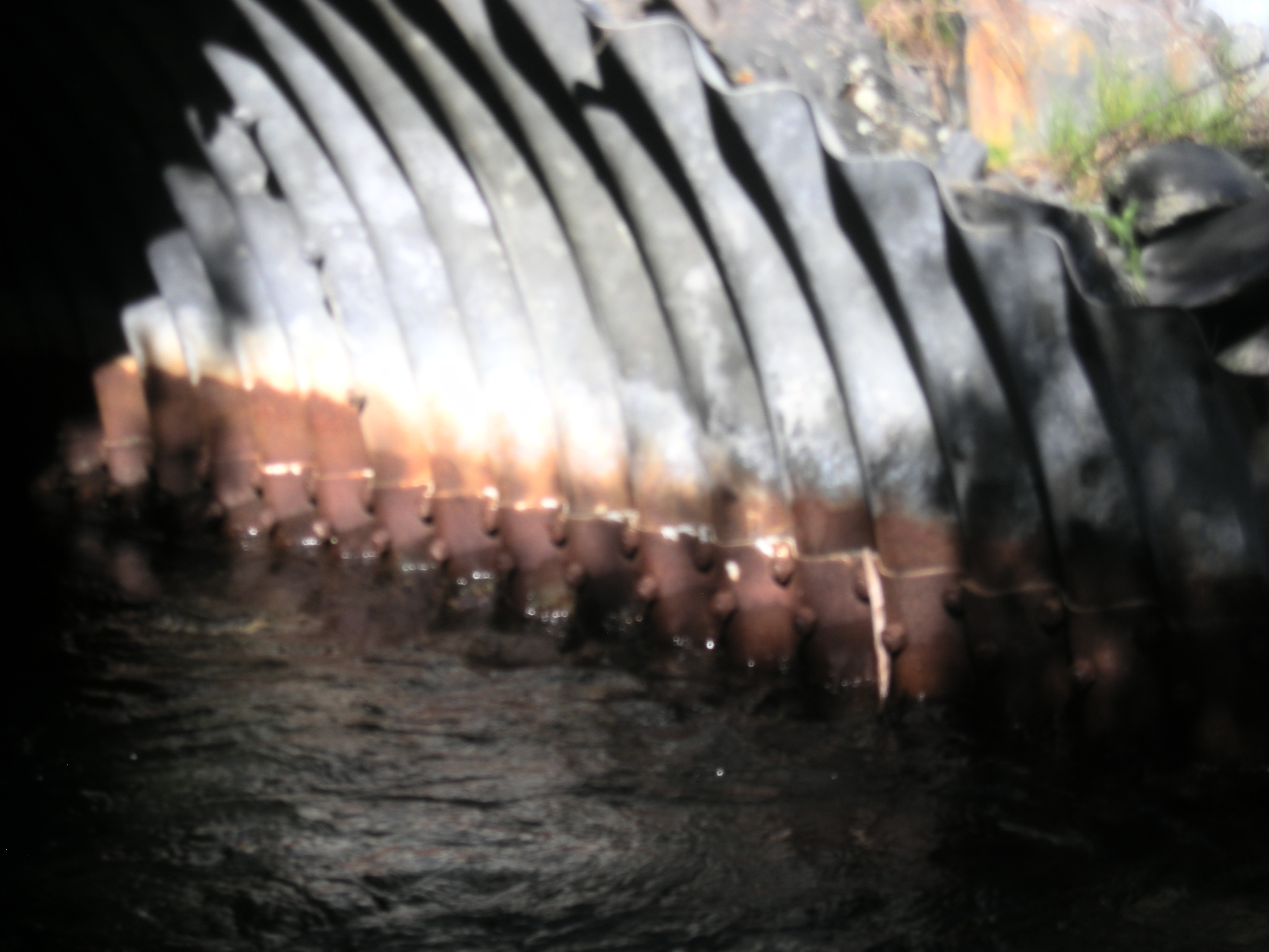
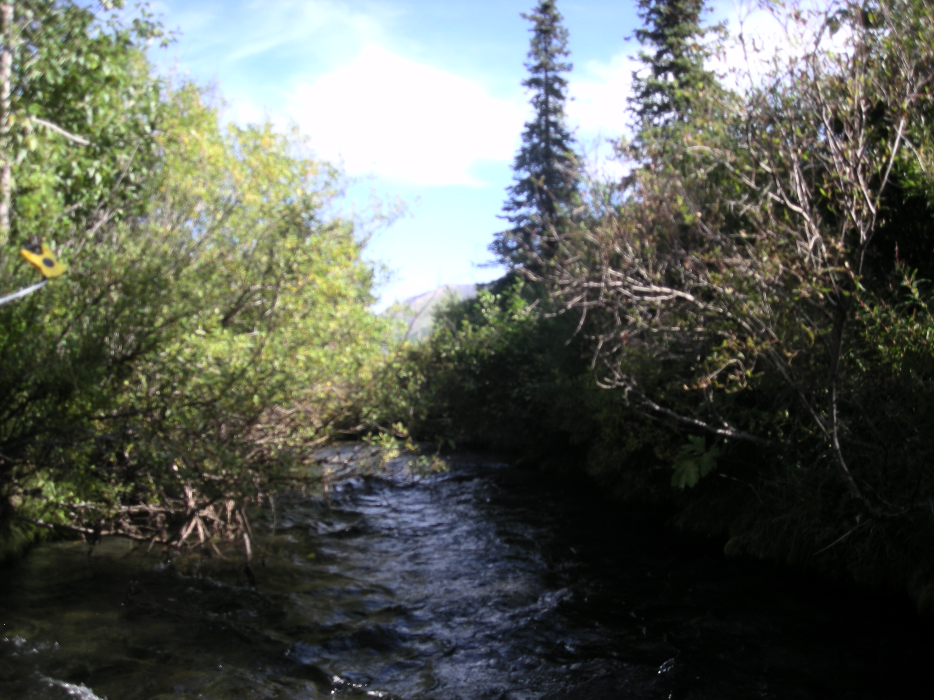
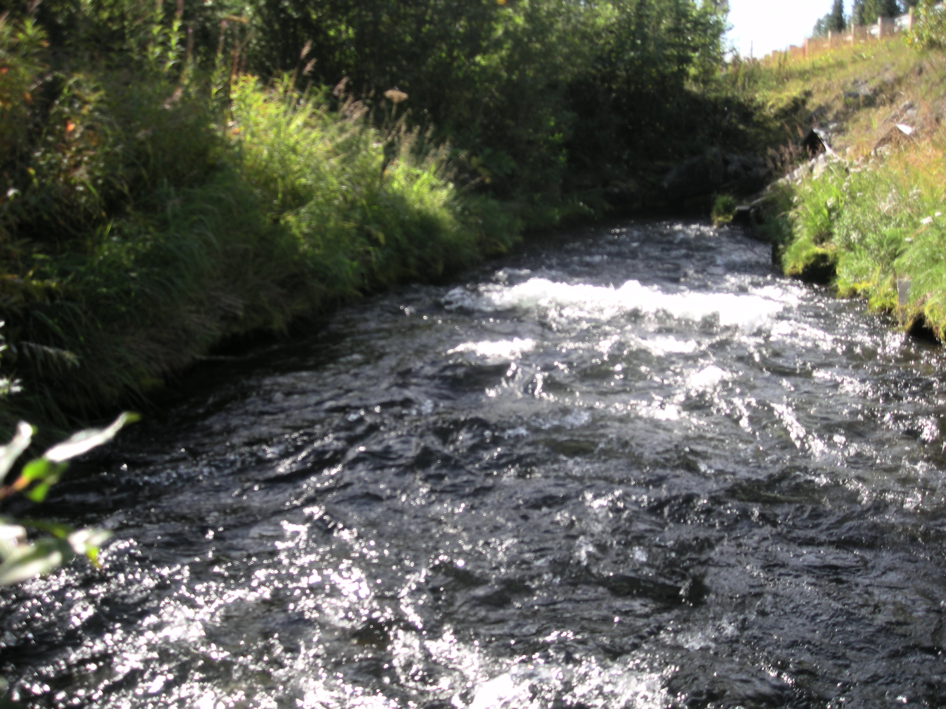
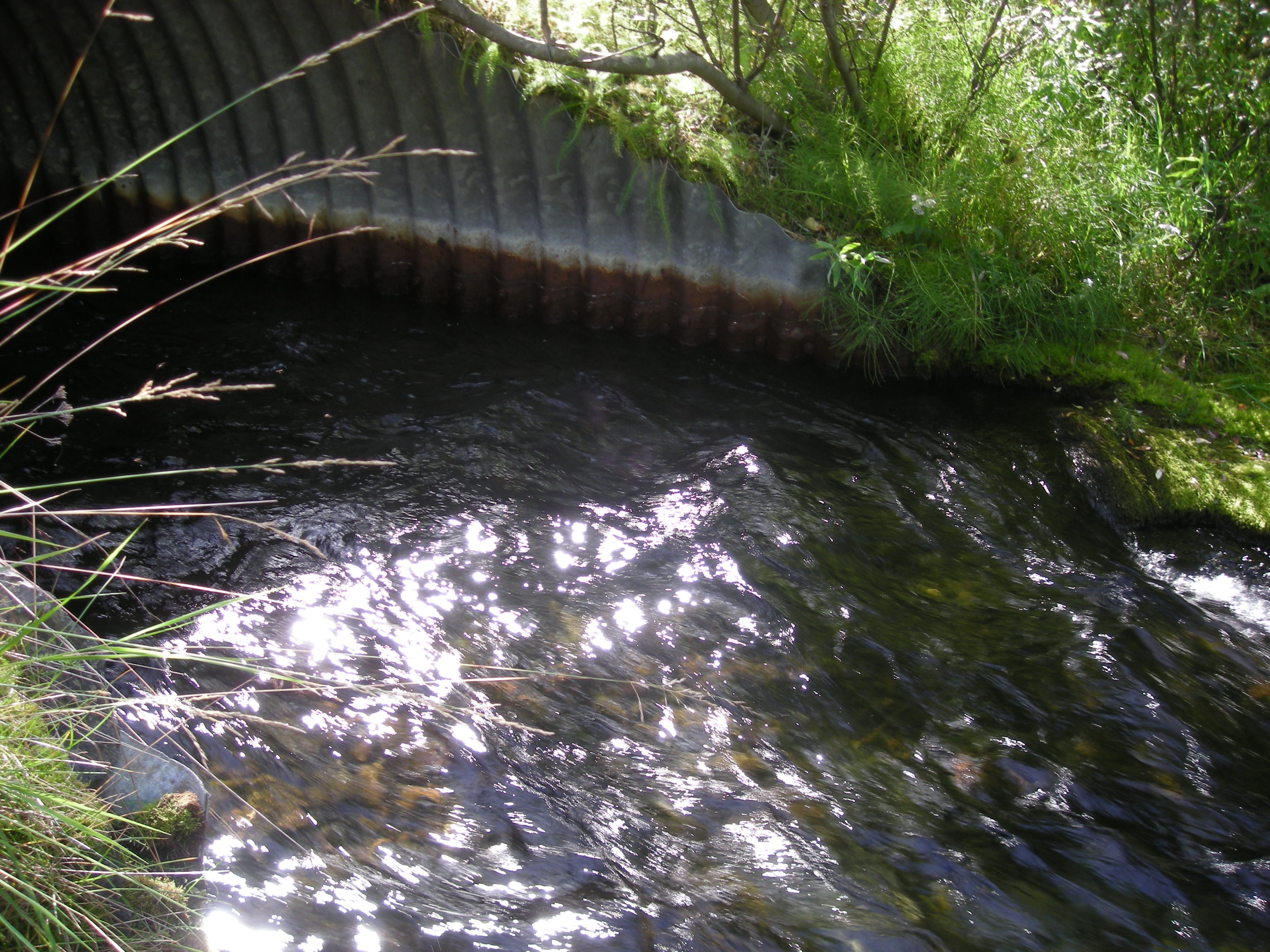
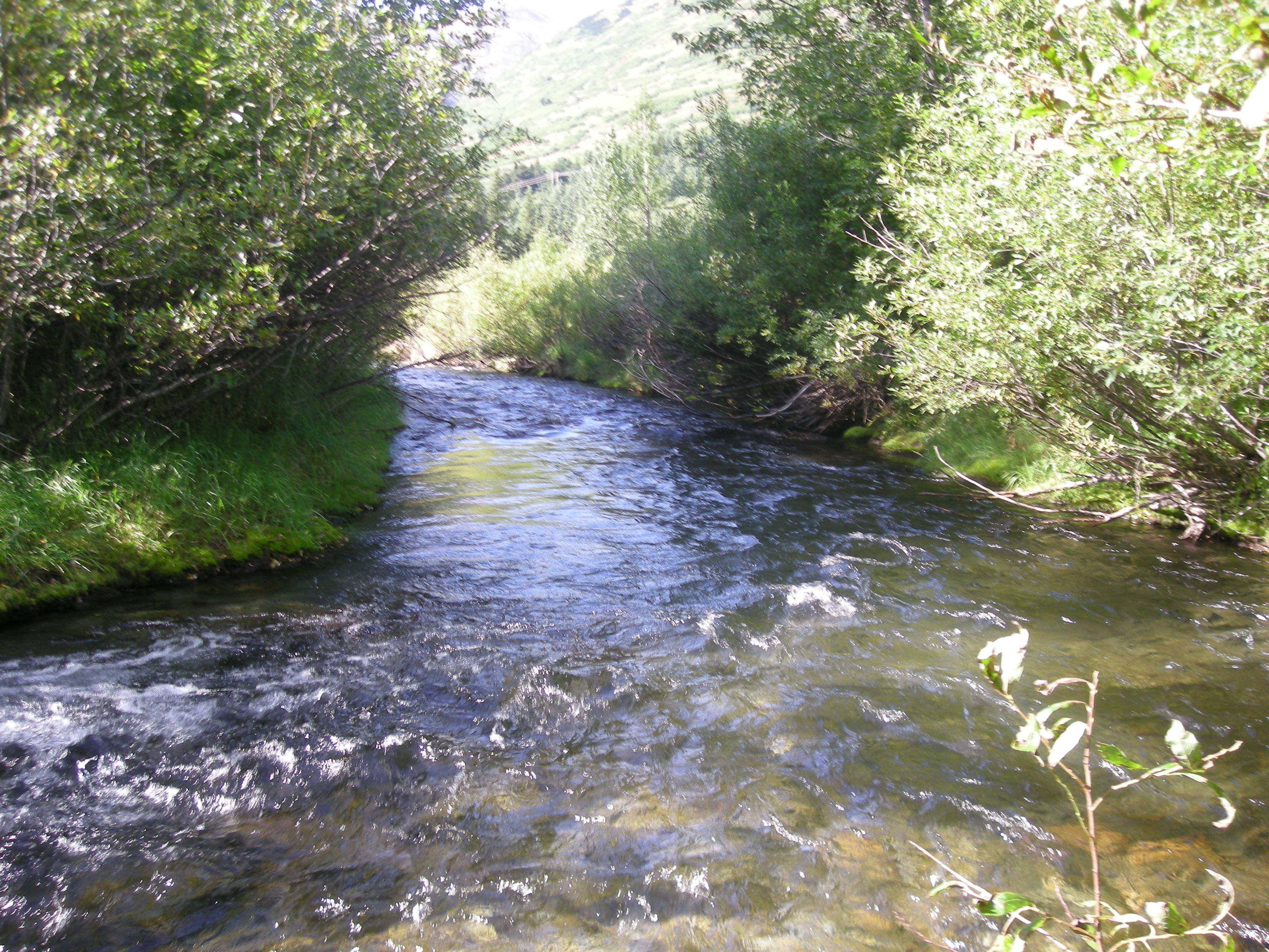
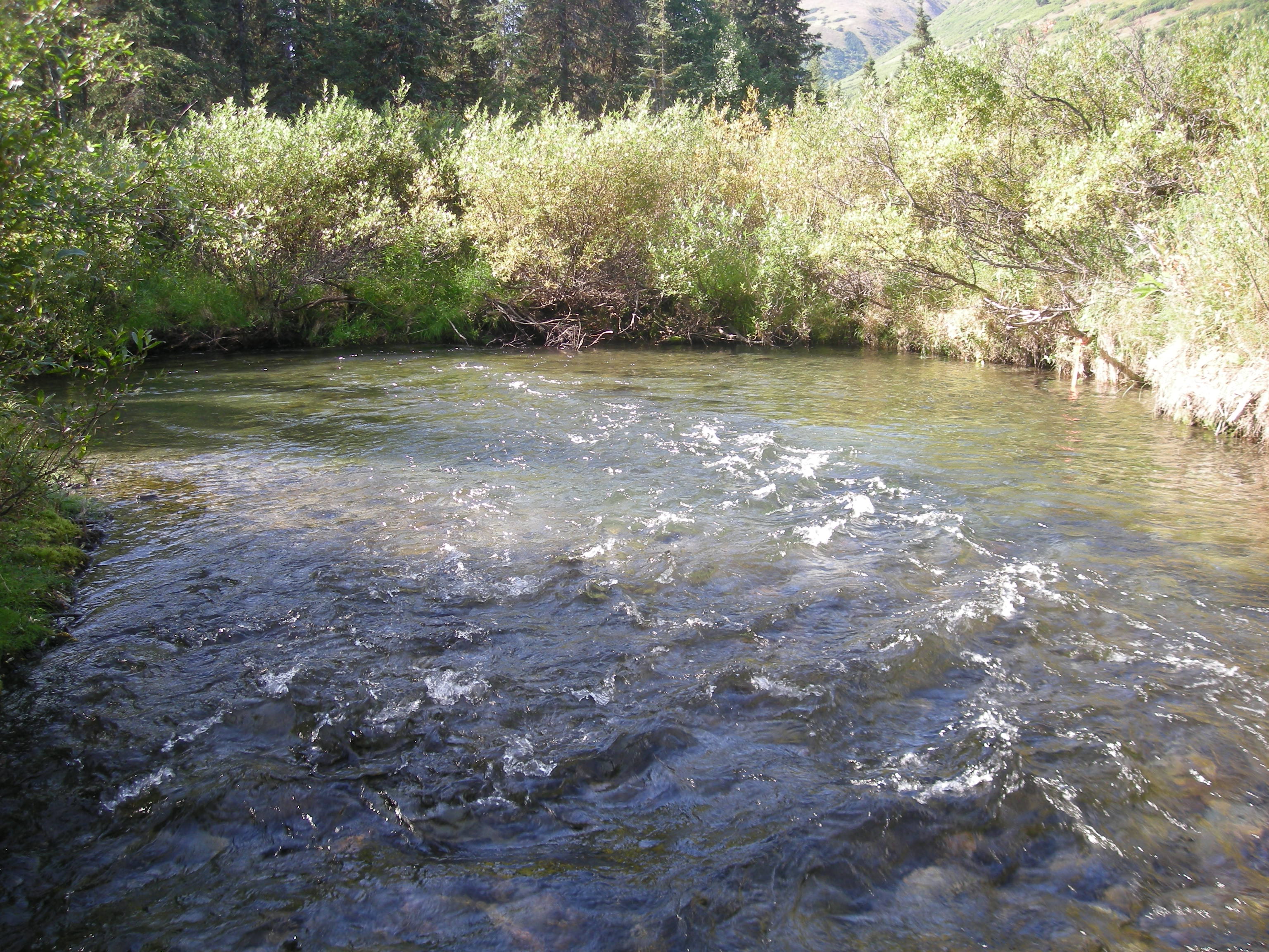
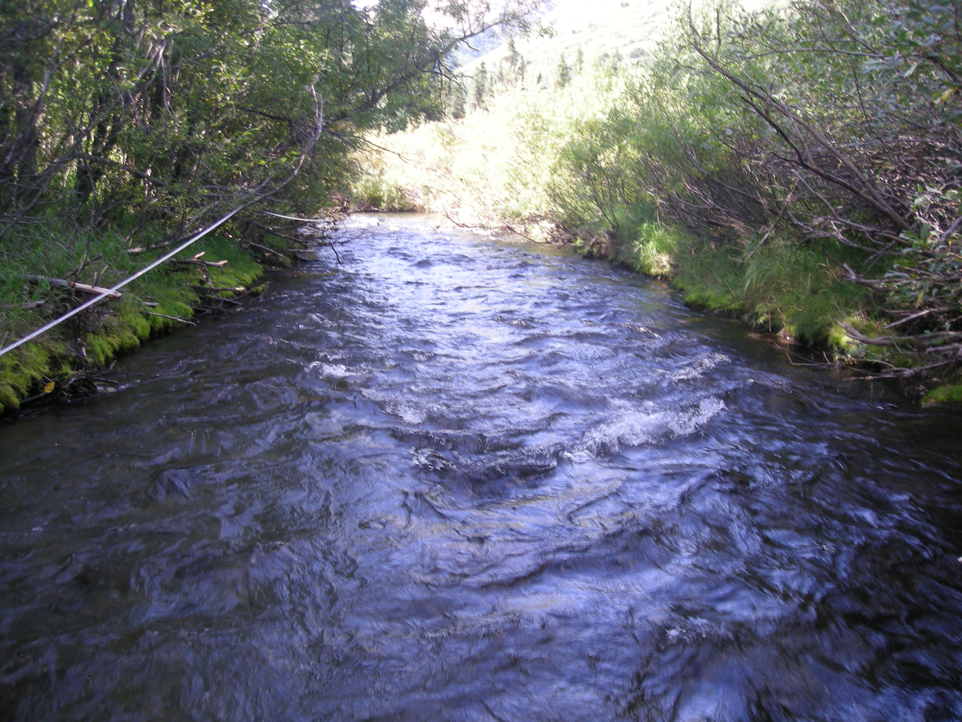
Comments: Culvert assessment and photos submitted by Kenai Watershed Forum. Very steep bank from highway to culverts. Scour at inlets. Culverts very poorly aligned. Site might be undersized for higher flows.
Culvert Measurements
| ID: 1 | Structure Type: Pipe-arch (Structural steel plate) | Fish Passage Rating: | |||||||||||||||||||||||||||||||||||||||||
|
|
|
|||||||||||||||||||||||||||||||||||||||||
Comments: This is culvert B on the Site Sketch. There is some substrate throughout culvert. Substrate depths not recorded. Water surface gradient thorugh culvert 1.48%. Not noted if culvert length is full bottom of culvert length or the length measured from the top of the miters. |
|||||||||||||||||||||||||||||||||||||||||||
| ID: 2 | Structure Type: Pipe-arch (Structural steel plate) | Fish Passage Rating: | |||||||||||||||||||||||||||||||||||||||||
|
|
|
|||||||||||||||||||||||||||||||||||||||||
Comments: Culvert has some sediment through barrel. Substrate depths not recorded. Water surface gradient through culvert 0.82%. |
|||||||||||||||||||||||||||||||||||||||||||
Culvert Observations:
|
|||||||||||||||||||||||||||||||||||||||||||
Stream Measurements
|
|
| Stream Width Type | Distance From Crossing (ft) |
Stream Width (ft) |
|---|---|---|
| Downstream ordinary high water | 24.0 | 16.75 |
| Downstream ordinary high water | 42.0 | 18.17 |
| Downstream ordinary high water | 68.0 | 19.25 |
| Upstream ordinary high water | 32.0 | 13.20 |
| Upstream ordinary high water | 46.0 | 13.30 |
| Upstream ordinary high water | 65.0 | 13.60 |
| Upstream ordinary high water | 83.0 | 13.80 |
Elevations
| Locator ID | Culvert Number |
River Distance (ft)1 |
Distance From Crossing (ft)2 |
Relative Elevation (ft) |
|---|---|---|---|---|
| Road Elev | 110.66 | |||
| D/S Grade Ctrl (Thalweg) | 0.00 | 95.79 | ||
| D/S Water Surface Elev | 0.00 | 96.63 | ||
| D/S Thalweg | 25.00 | 95.76 | ||
| D/S Water Surface Elev | 25.00 | 97.10 | ||
| D/S Water Surface Elev | 39.00 | 97.55 | ||
| D/S Grade Ctrl (Thalweg) | 39.00 | 96.40 | ||
| D/S Thalweg (No outlet pool or tail water control at either culvert) | 109.00 | 96.62 | ||
| D/S Water Surface Elev | 109.00 | 97.57 | ||
| Outlet Invert (on substrate) | 2 | 125.00 | 97.16 | |
| Outlet Invert (on substrate) | 1 | 125.00 | 97.53 | |
| D/S Water Surface Elev | 2 | 125.00 | 98.02 | |
| D/S Water Surface Elev | 1 | 125.00 | 98.25 | |
| Outlet Culvert Top | 1 | 125.00 | 103.25 | |
| Outlet Culvert Top | 2 | 125.00 | 103.40 | |
| Inlet Culvert Top | 2 | 213.60 | 103.70 | |
| Inlet Culvert Top | 1 | 213.60 | 103.74 | |
| U/S Water Surface Elev | 2 | 213.60 | 98.75 | |
| U/S Water Surface Elev (erroneous, likey 98.95) | 1 | 213.60 | 96.95 | |
| Inlet Culvert Invert (on substrate) | 2 | 213.60 | 97.01 | |
| Inlet Culvert Invert (on substrate) | 1 | 213.60 | 97.07 | |
| U/S Thalweg (inlet pool max depth) | 223.60 | 95.45 | ||
| U/S Water Surface Elev | 223.60 | 98.84 | ||
| U/S Water Surface Elev | 244.60 | 99.02 | ||
| U/S Grade Ctrl (Thalweg) | 244.60 | 97.65 | ||
| U/S Water Surface Elev | 306.60 | 100.25 | ||
| U/S Thalweg | 306.60 | 98.71 |
Notes:
- River distance is measured continuously throughout the survey reach along the thalweg of the stream.
- Measured from each end of the crossing along the thalweg of the stream.
Fish Sampling Efforts
| Gear Type: Minnow Trap (A) | Trap Duration(h): 4.3333335 | |
| Comments: Trap set about 80 feet upstream. | ||
| Gear Type: Minnow Trap (B) | Trap Duration(h): 4.75 | |
| Comments: Trap set about 145 feet downstreamcd | ||
Fish Observations
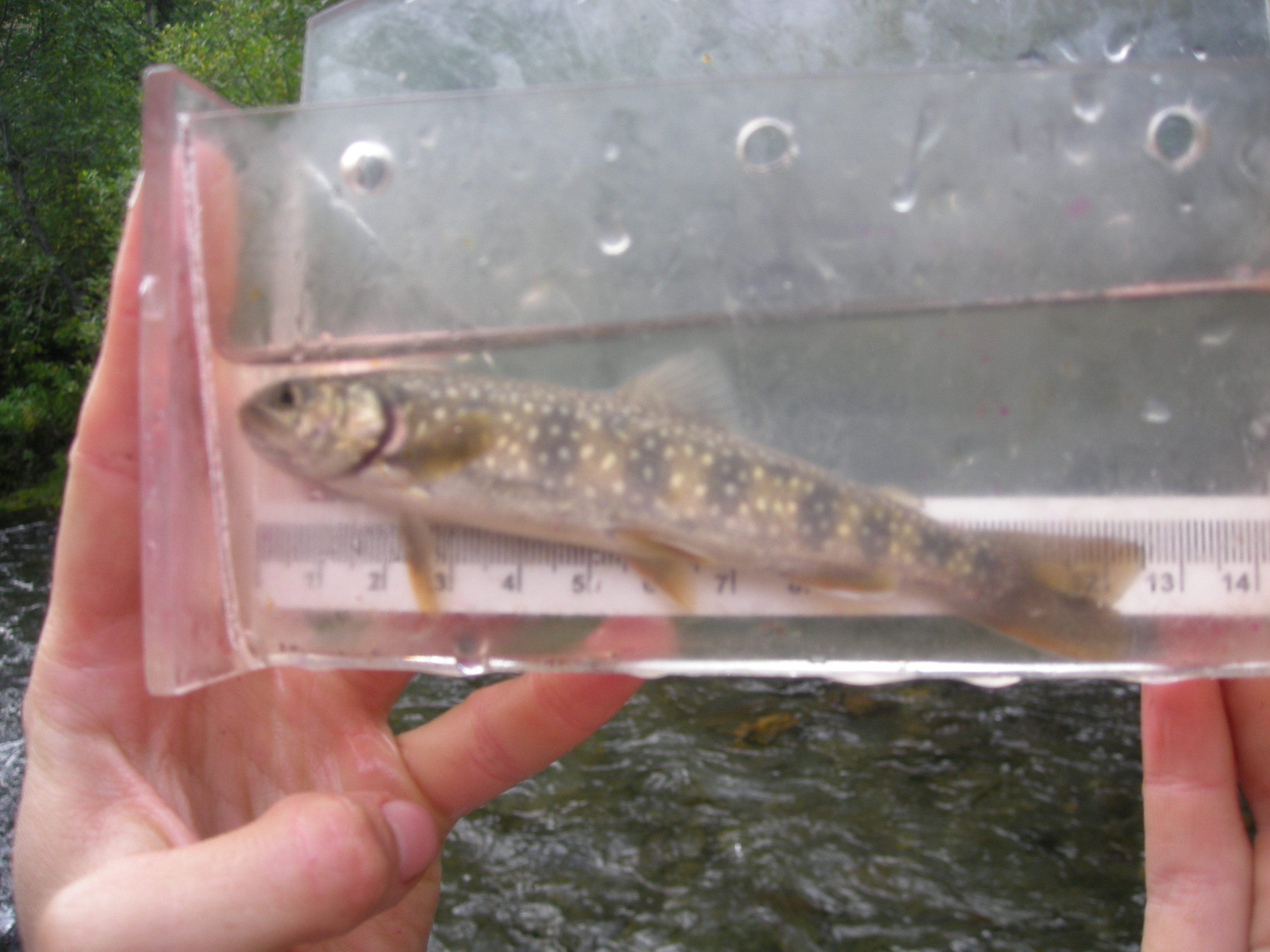
| Species: juvenile/adult Dolly Varden | Life History: Unknown | ||
| Total Fish Observed: 5 | Fish Measured: 5 | Fork Lengths (mm) Min: 89 Max: 140 Mean: 110 | |
| Collected/Observed by Gear Type: Downstream Minnow Trap (4) Upstream Minnow Trap (1) | |||
Photos

Questions or comments about this report can be directed to dfg.dsf.webmaster@alaska.gov