Fish Passage Site 20300931
Coordinates (dec. deg.): 60.49313°, -149.84450°
Legal Description: S005N003W29
Region: South Central
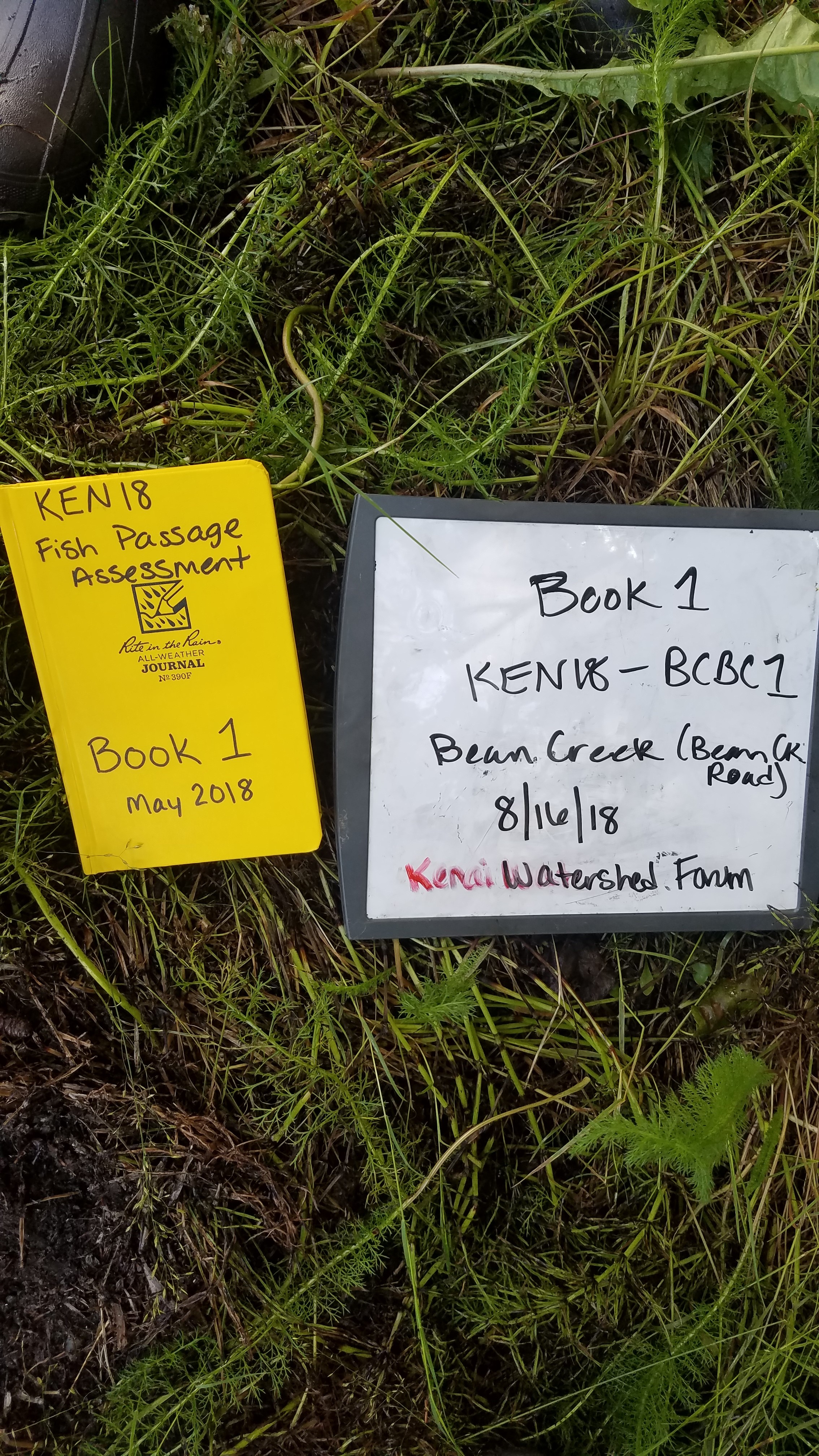
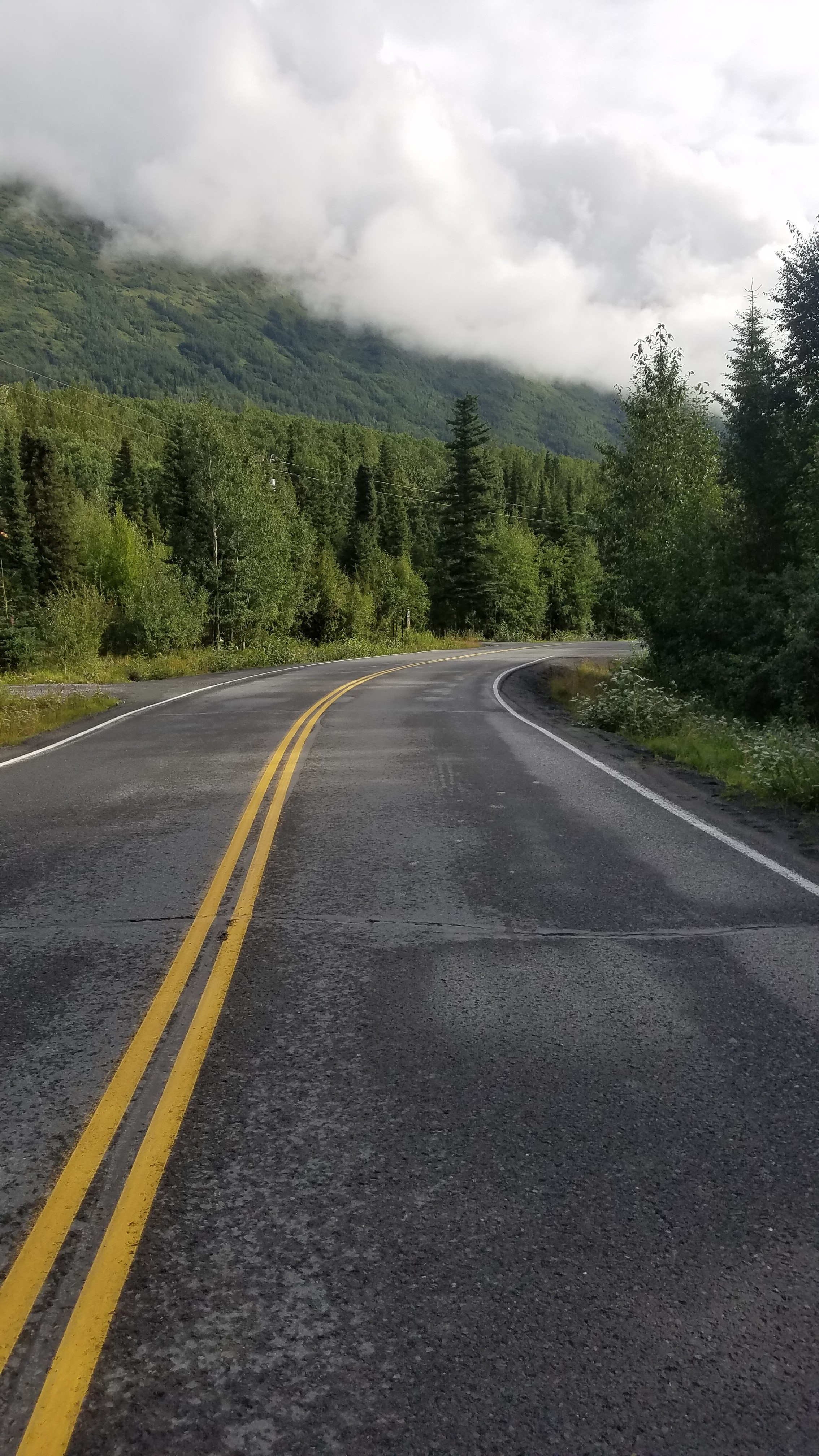
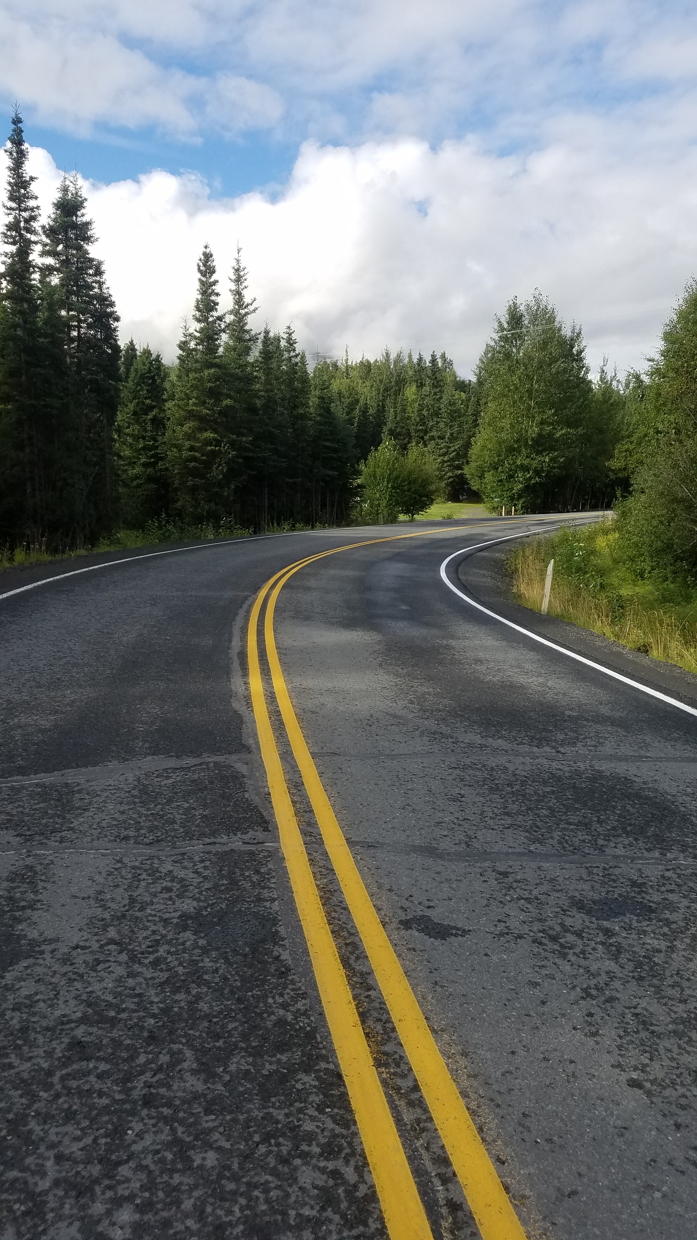
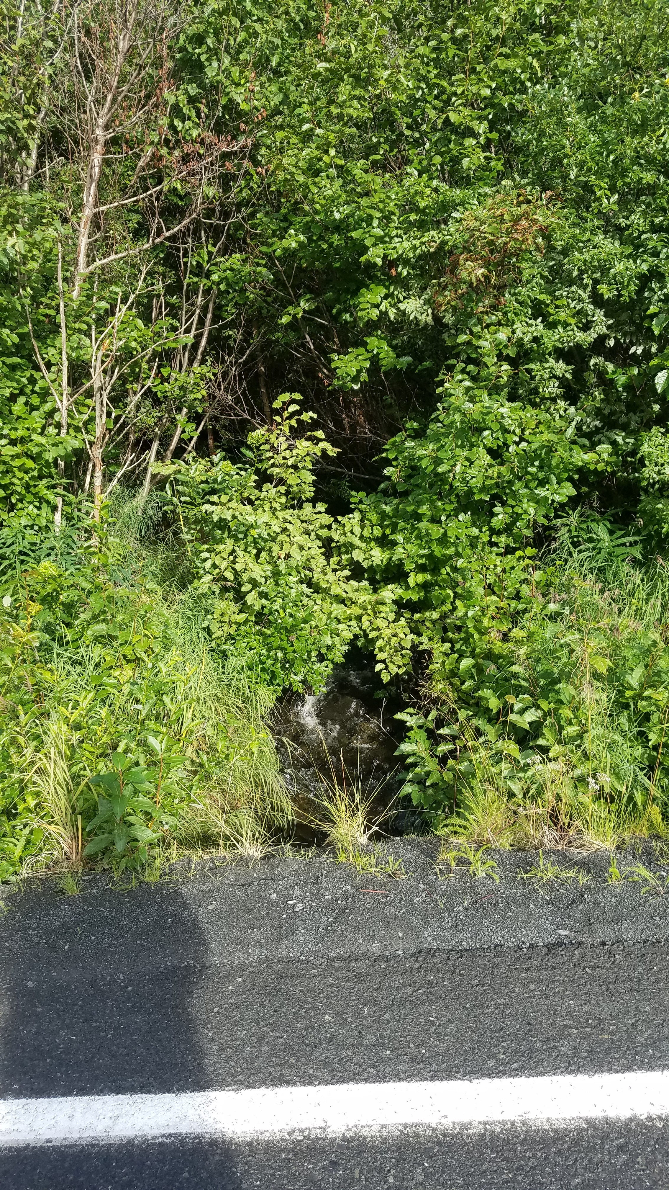
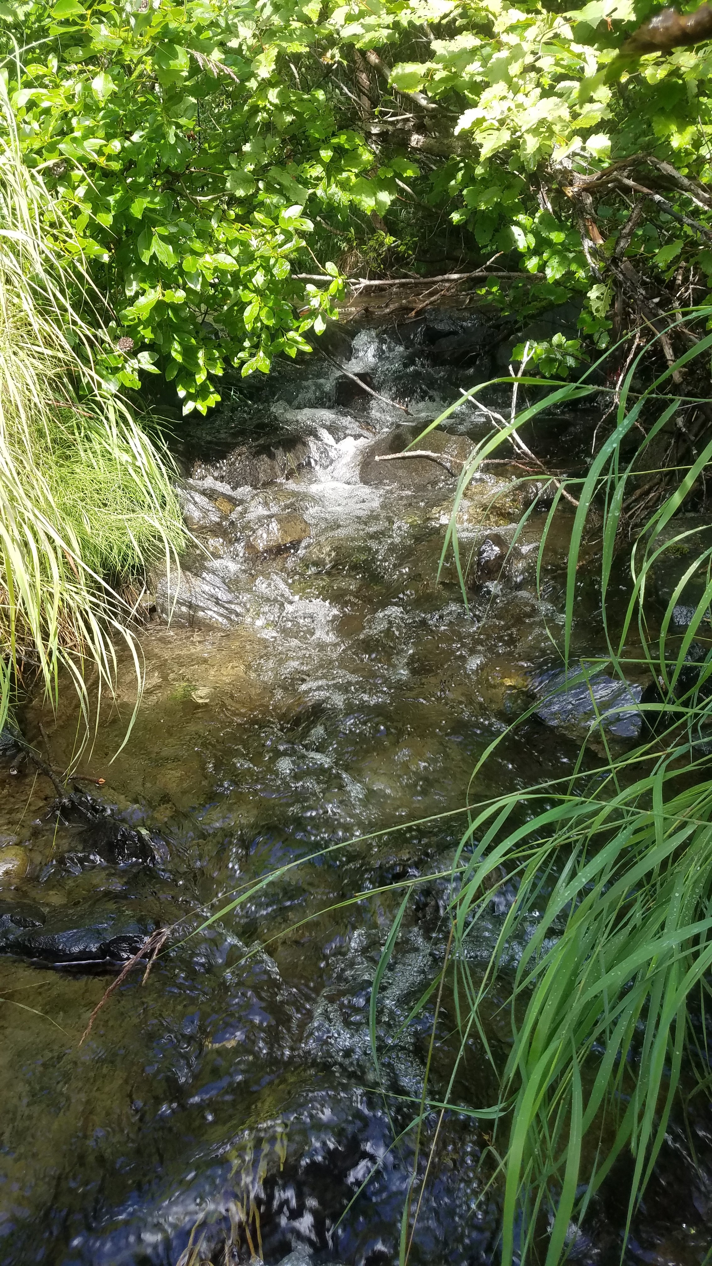
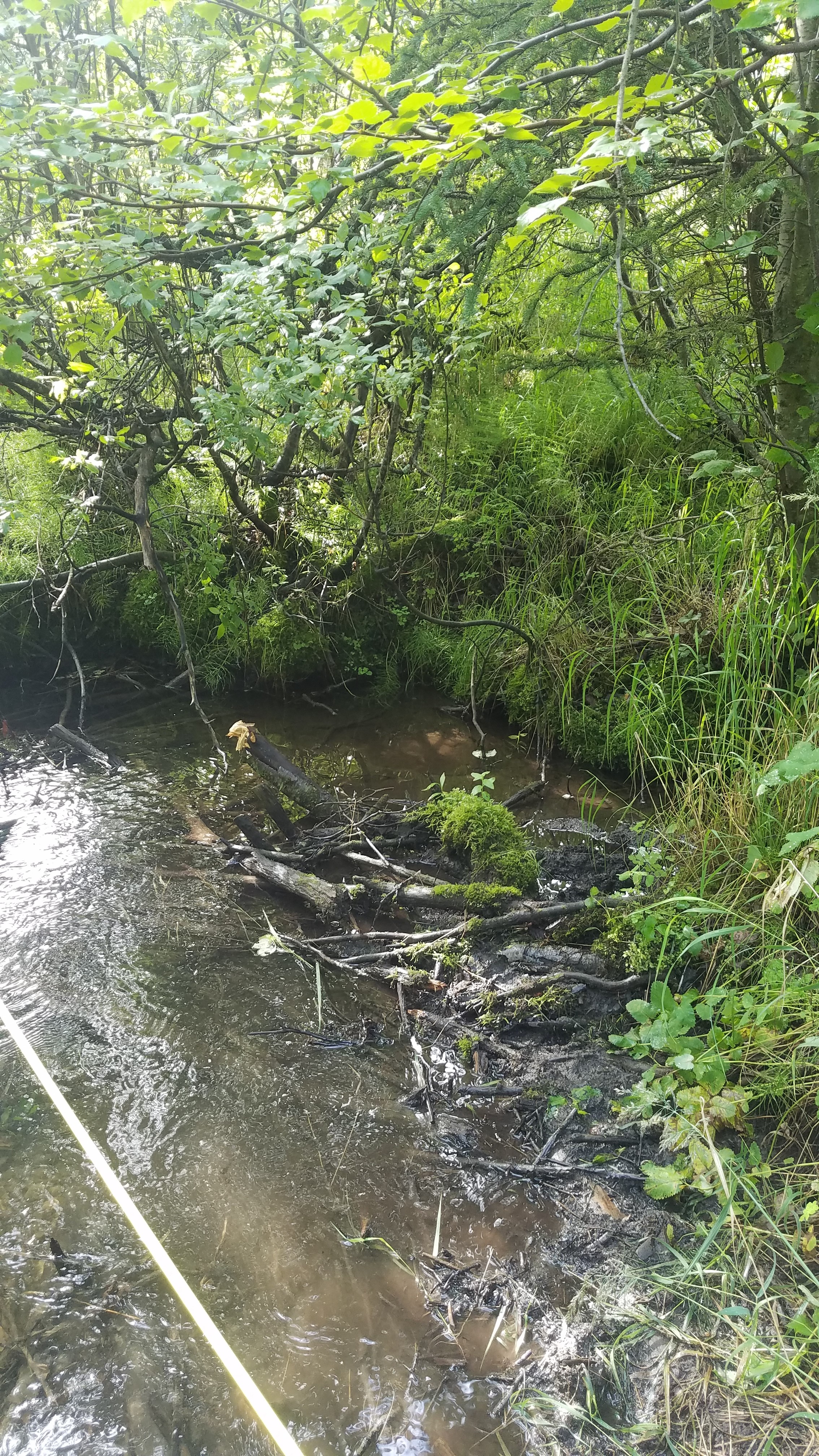
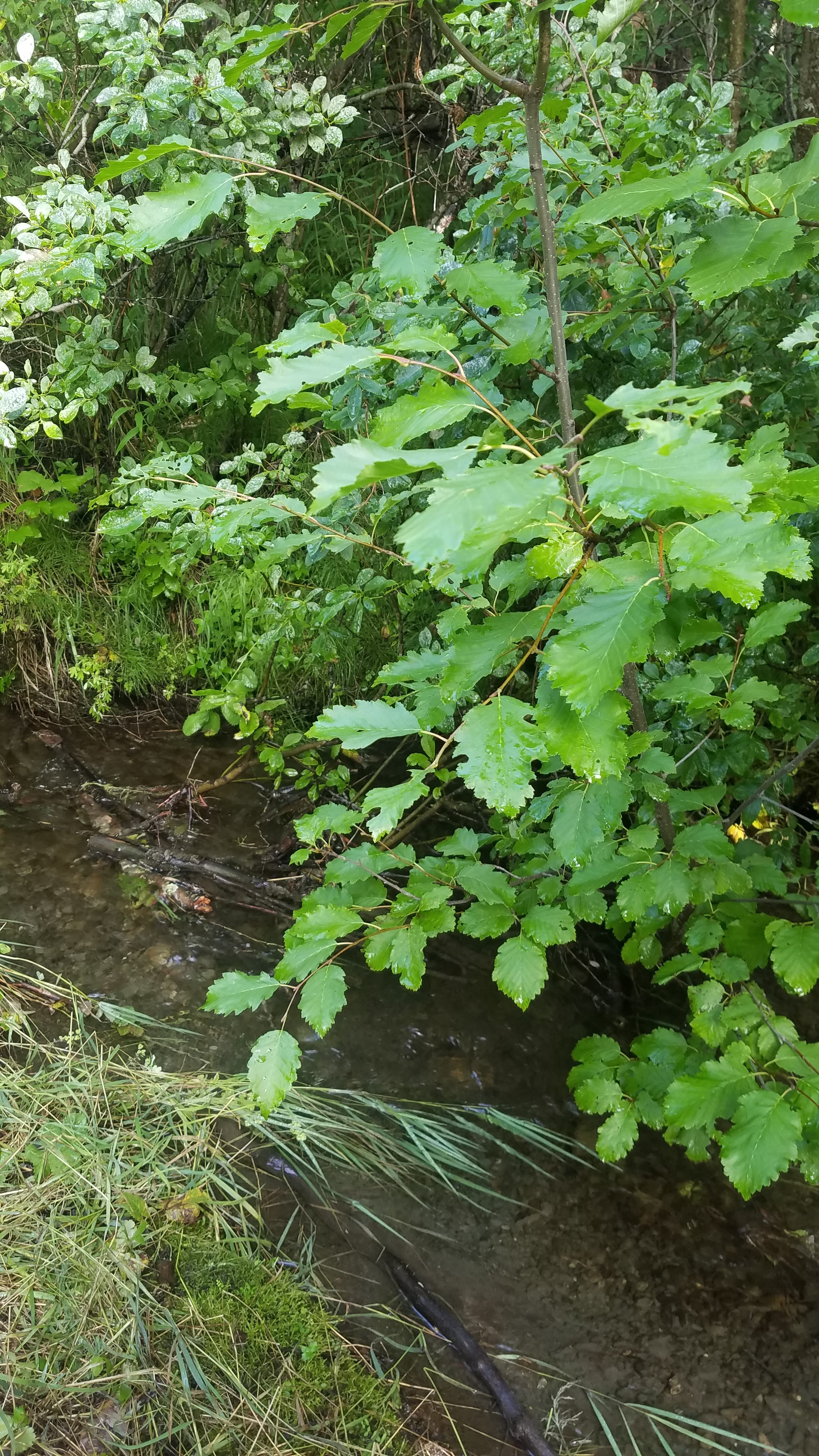
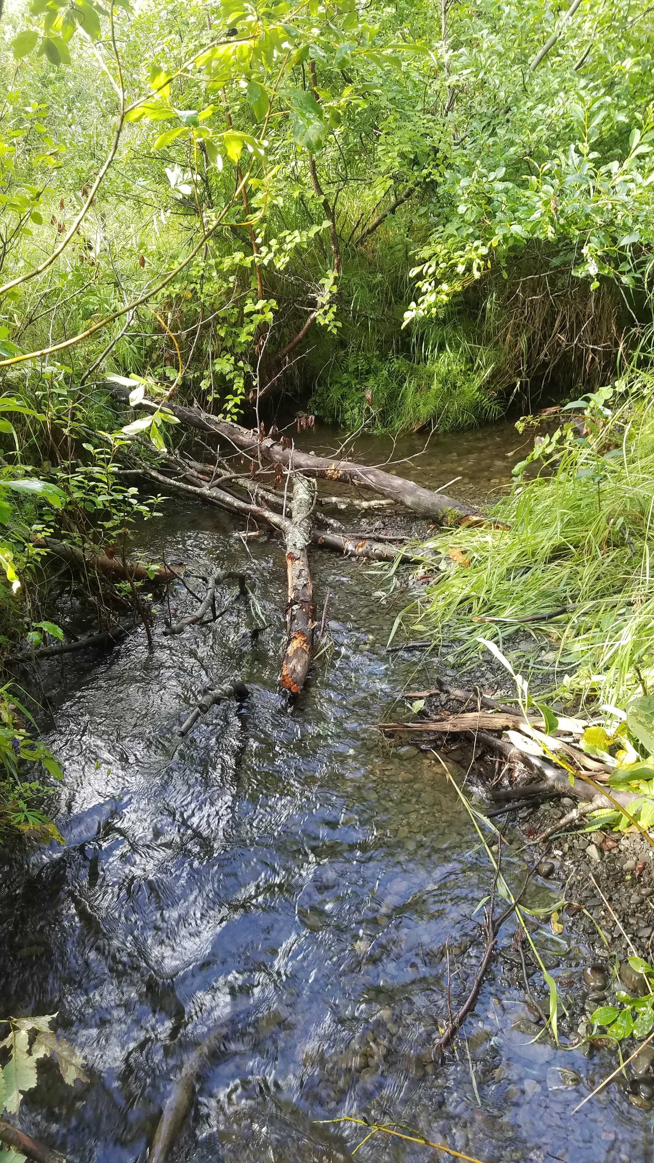
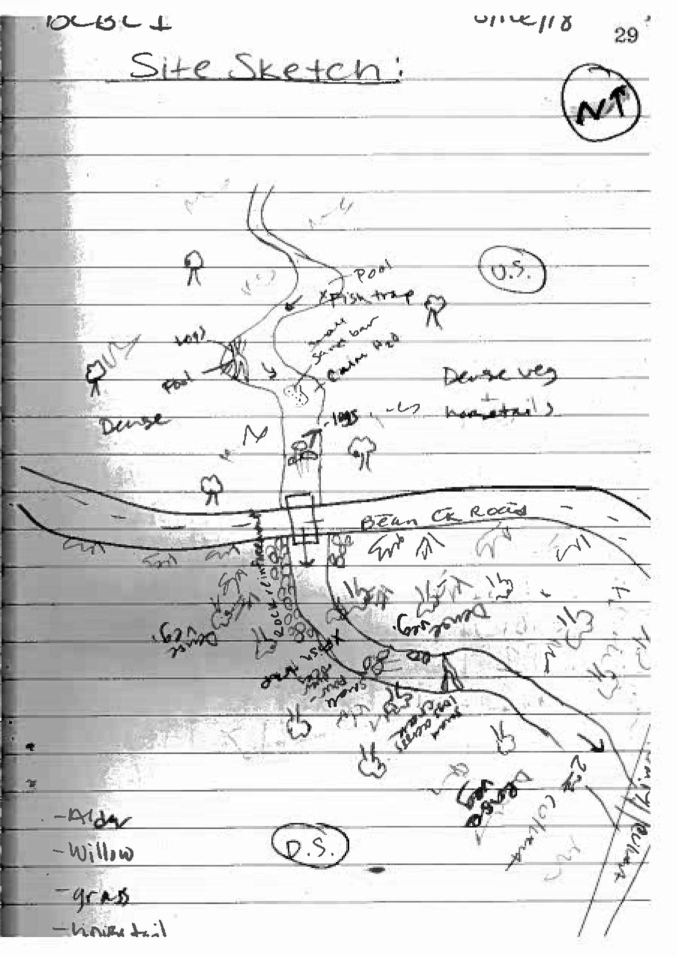
Road Name: Bean Creek
Datum: NAD83
Quad Name / ITM: Seward B-8
AWC Stream #: 244-30-10010-2169
Stream Name: Bean Creek
Elevation:
Site Comments: 148 feet US of site 20300930.
arrow to the right of the survey date below to choose a different report for this site.
Survey KEN18-BCBC1
Observers: Maggie Harings, Tyler Barber, John Lowin, Chelsea Pardo
Overall Fish Passage Rating:
Tidal: No
Backwatered: No
Step Pools: No
Construction Year:
Site Observations:
- None of this type
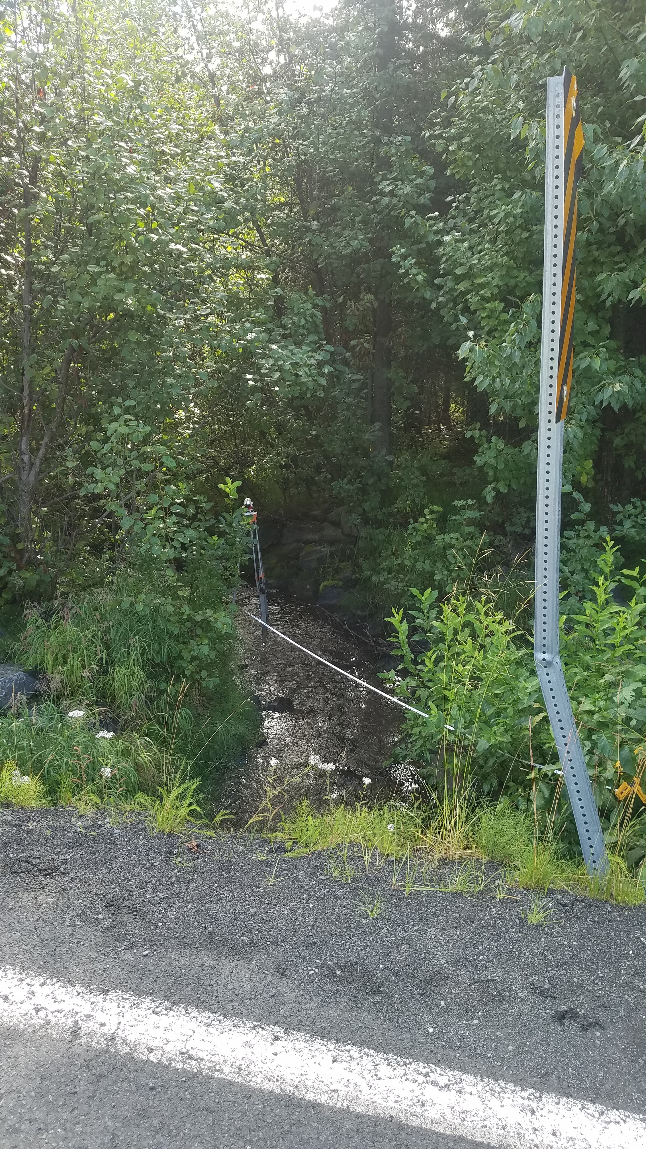
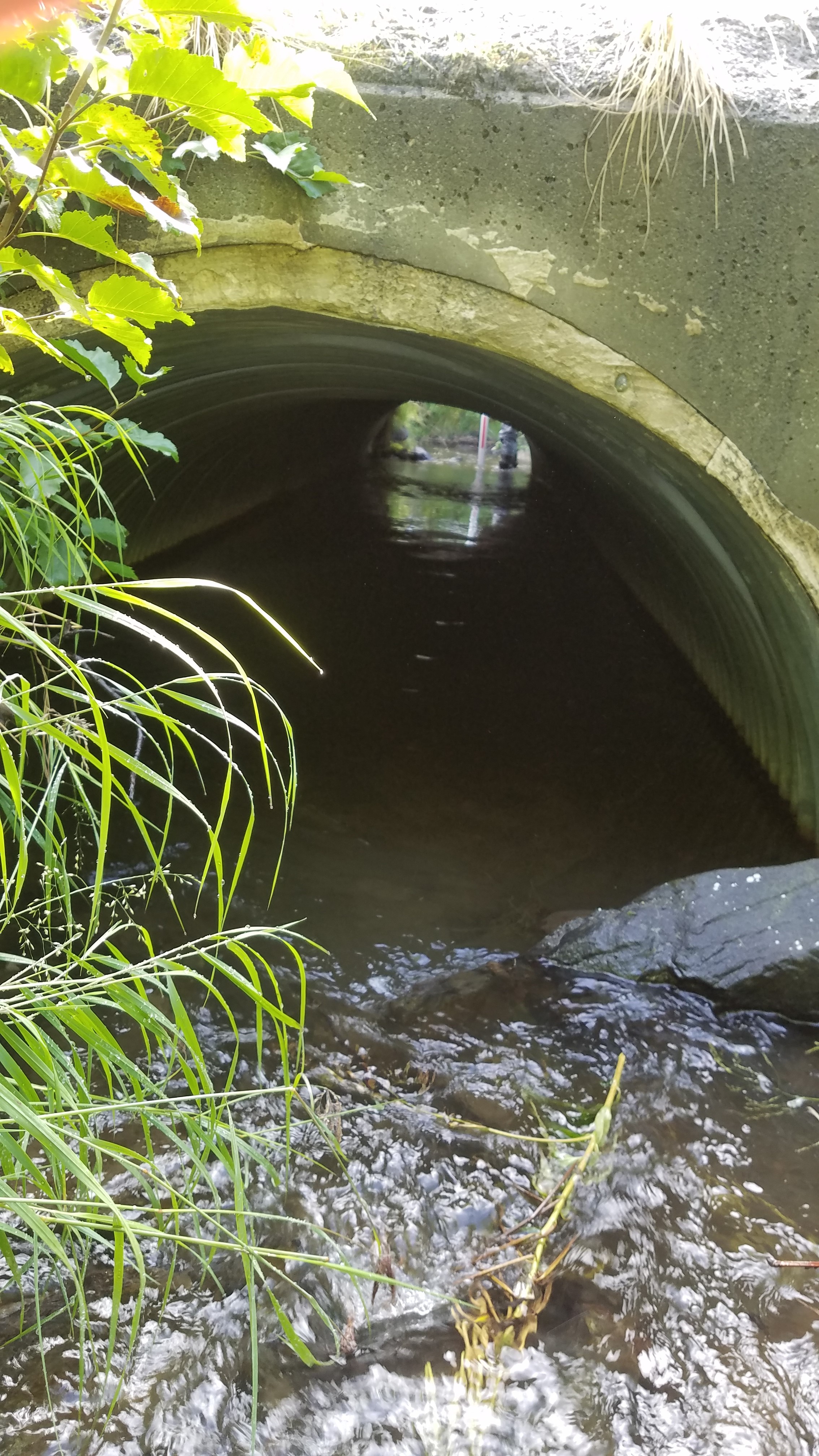
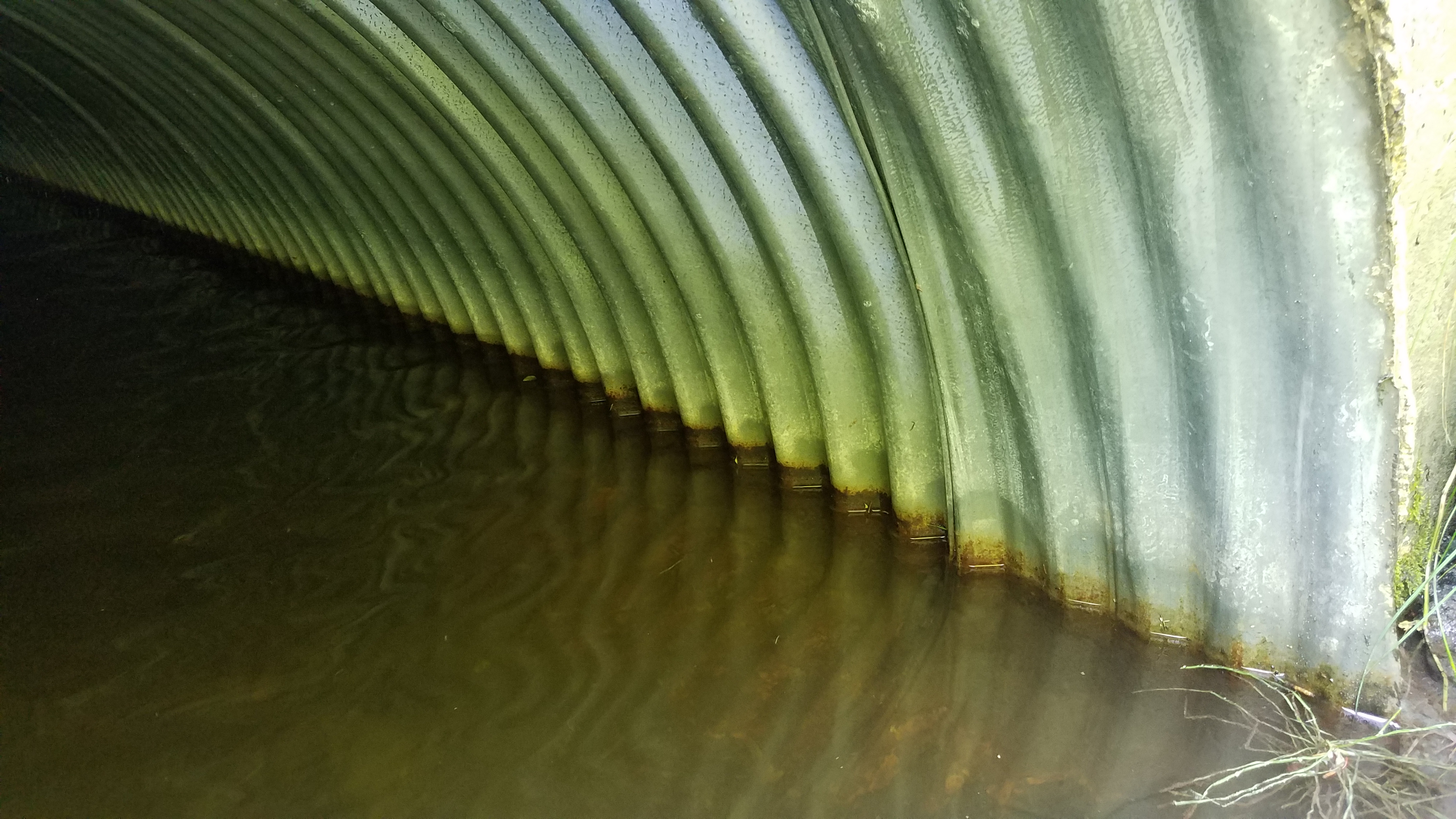
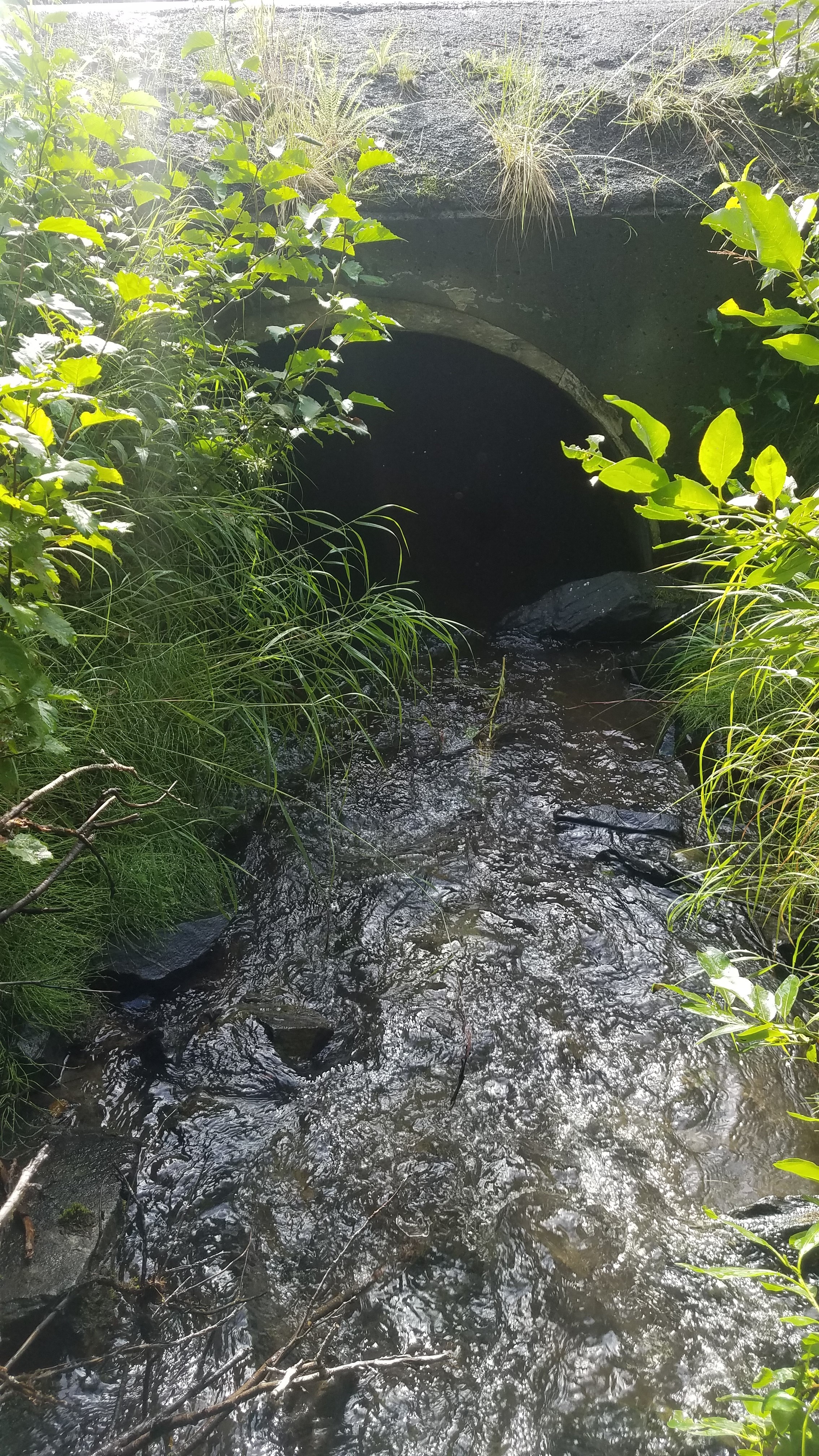
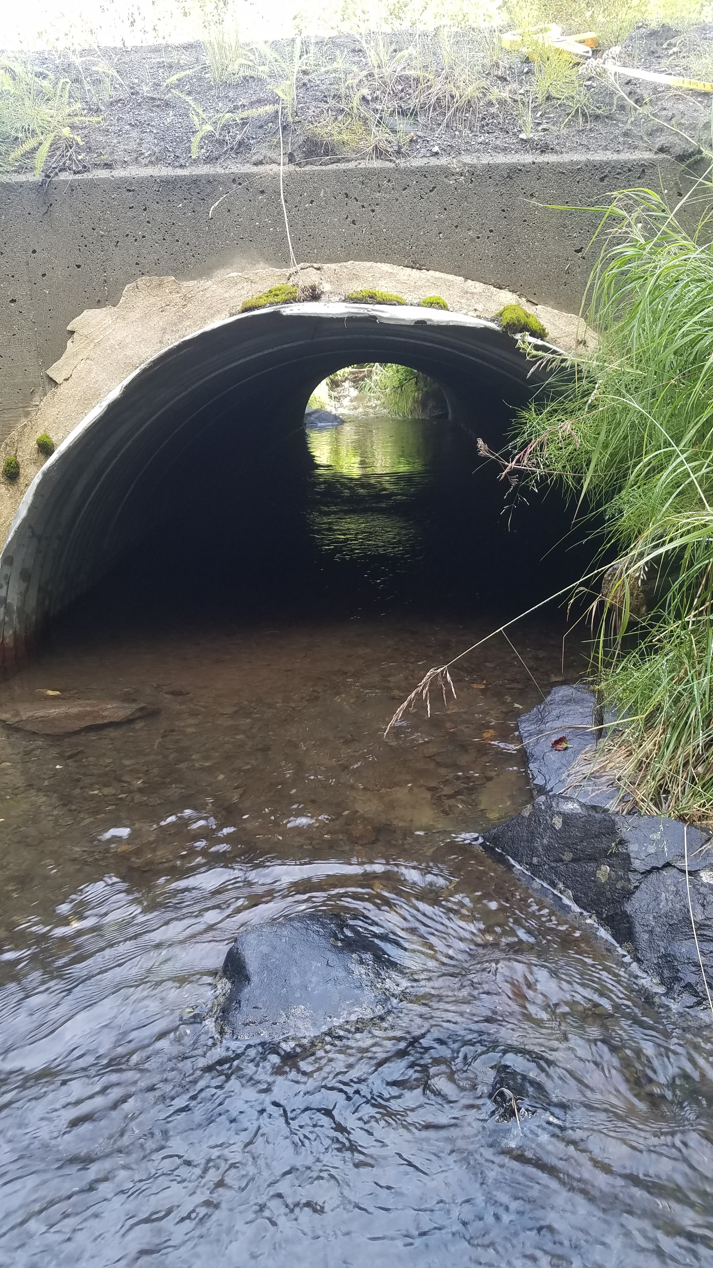
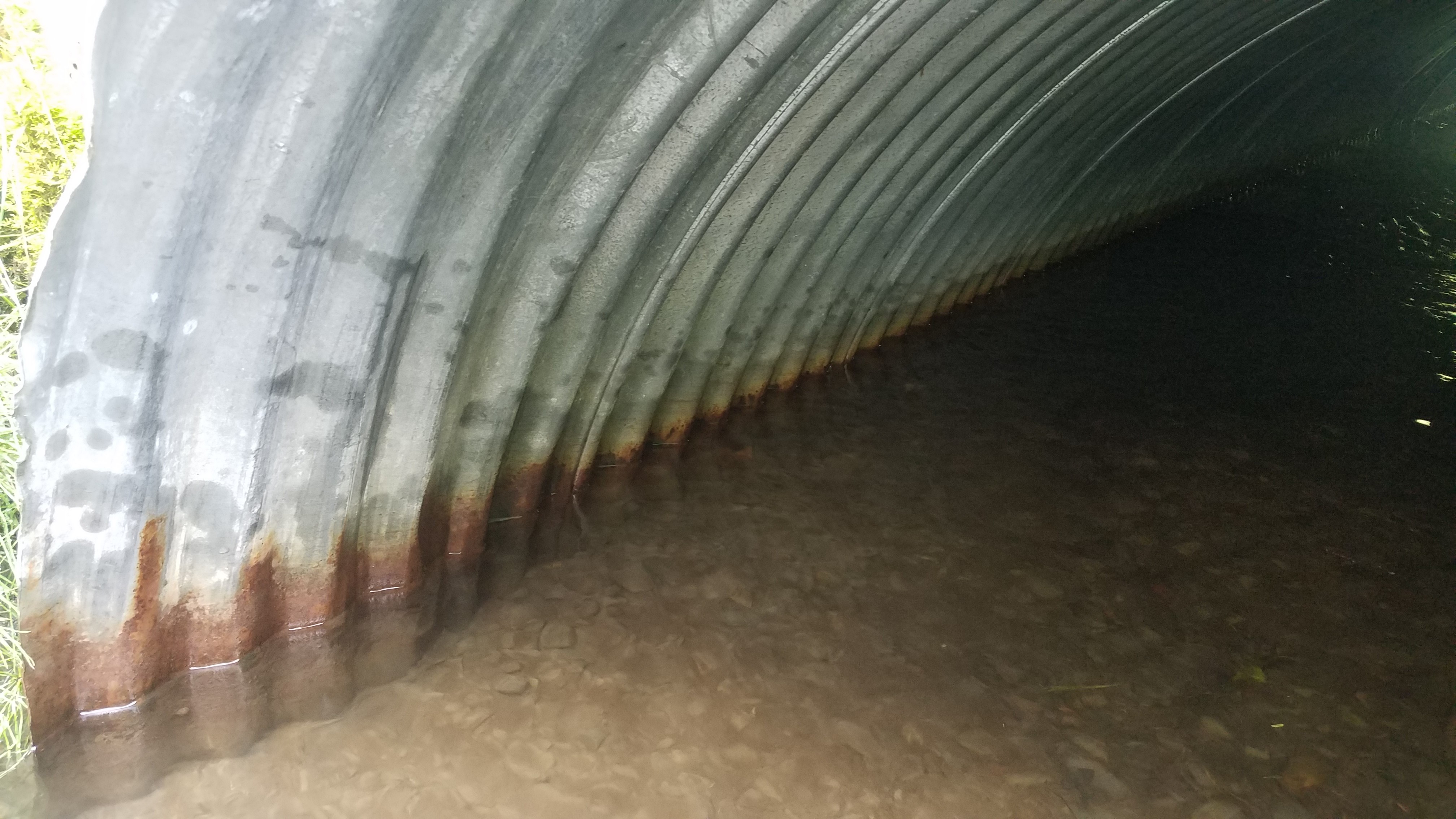
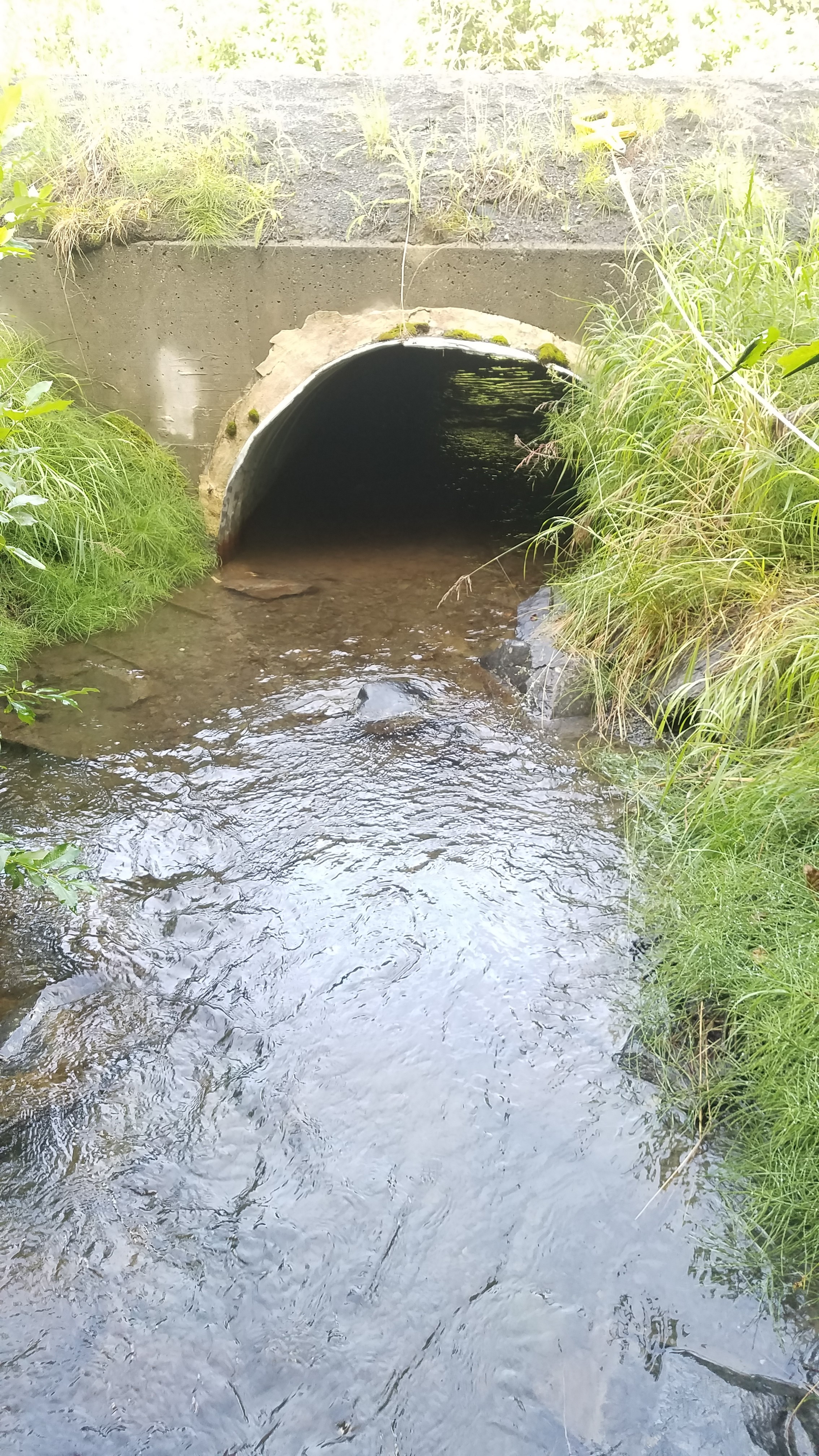
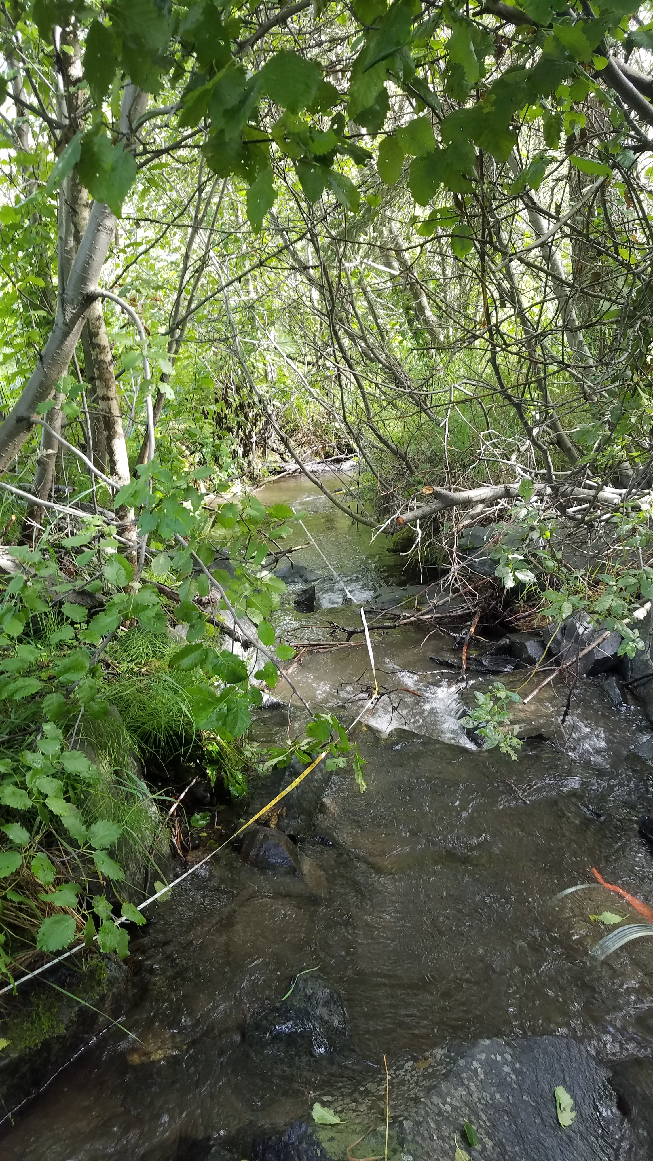
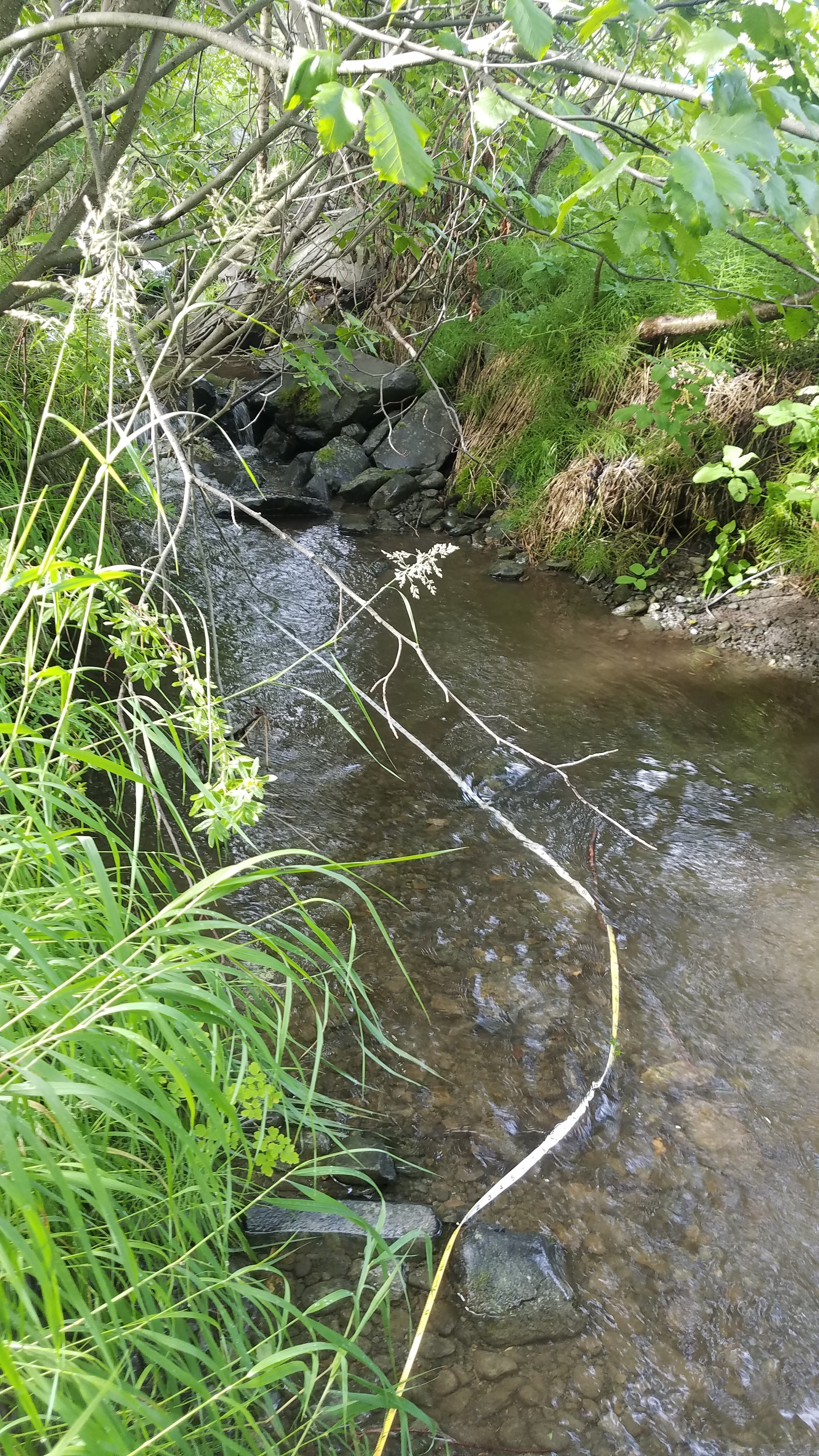
Comments: Culvert assessment and photos submitted by Kenai Watershed Forum. Culvert is embedded, but upstream or downstream long profile distances not long enough for an accurate stream slope. Culvert is not constricted and has a fairly flat water surface gradient though culvert. Site rated Green. Water surface gradient through culvert 0.27%.
Culvert Measurements
| ID: 1 | Structure Type: Open-bottom arch (Corrugated steel) | Fish Passage Rating: | |||||||||||||||||||||||||||||||||||||||||
|
|
|
|||||||||||||||||||||||||||||||||||||||||
Culvert Observations:
|
|||||||||||||||||||||||||||||||||||||||||||
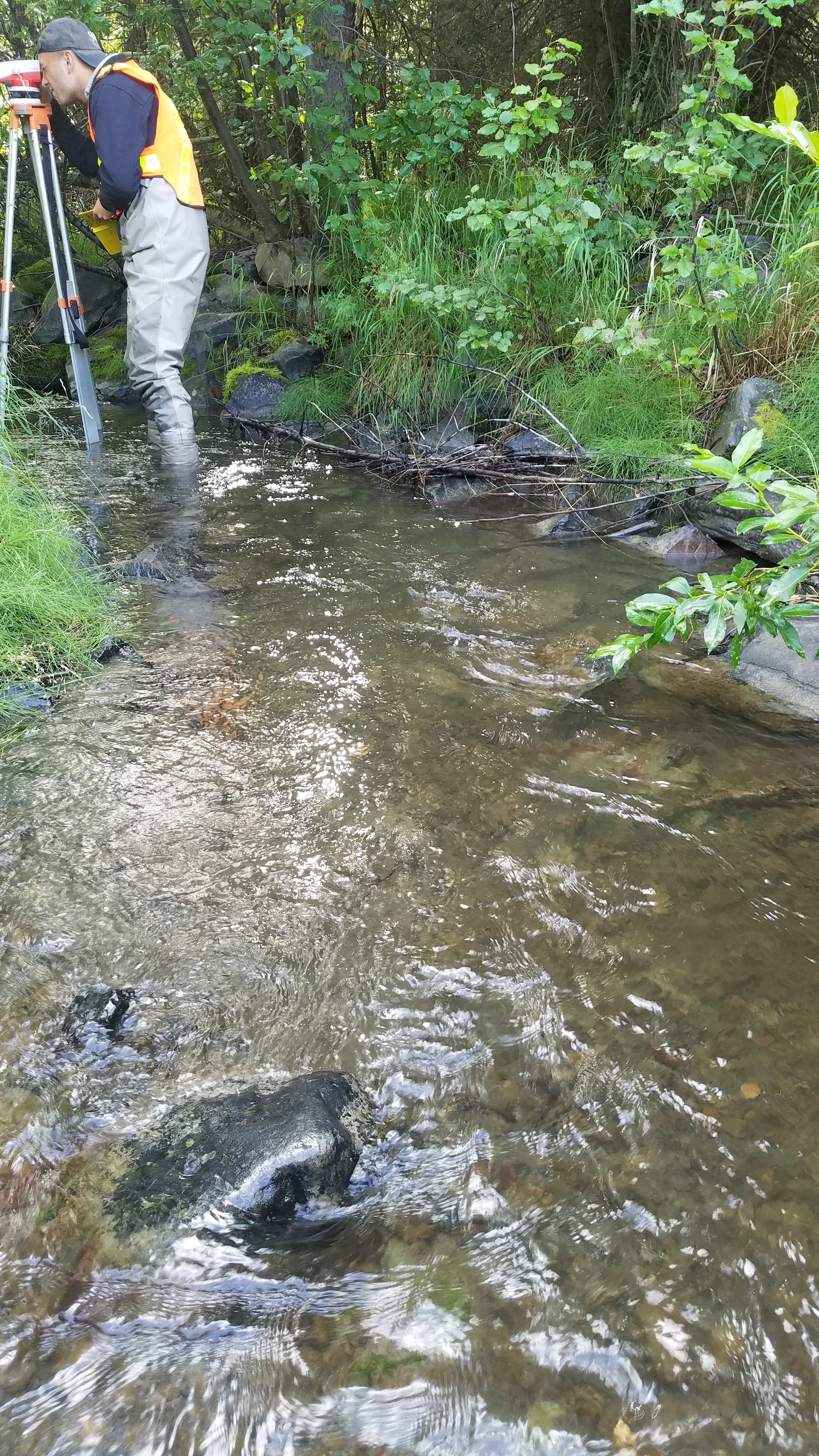
Stream Measurements
|
|
| Stream Width Type | Distance From Crossing (ft) |
Stream Width (ft) |
|---|---|---|
| Downstream ordinary high water | 15.0 | 7.25 |
| Downstream ordinary high water | 45.0 | 7.50 |
| Downstream ordinary high water | 72.0 | 6.50 |
| Upstream ordinary high water | 5.6 | 5.60 |
| Upstream ordinary high water | 44.0 | 12.00 |
| Upstream ordinary high water | 50.0 | 4.30 |
| Upstream ordinary high water | 57.0 | 5.60 |
Elevations
| Locator ID | Culvert Number |
River Distance (ft)1 |
Distance From Crossing (ft)2 |
Relative Elevation (ft) |
|---|---|---|---|---|
| Road Elev | 102.94 | |||
| D/S Water Surface Elev | 0.00 | 95.13 | ||
| D/S Thalweg | 0.00 | 95.45 | ||
| D/S Thalweg (max pool depth) | 13.00 | 95.13 | ||
| D/S Water Surface Elev | 13.00 | 96.14 | ||
| D/S Water Surface Elev | 18.80 | 96.74 | ||
| D/S Thalweg (max pool depth) | 18.80 | 95.80 | ||
| D/S Grade Ctrl (Thalweg) | 20.30 | 95.95 | ||
| D/S Water Surface Elev | 20.30 | 96.62 | ||
| D/S Water Surface Elev | 23.00 | 97.10 | ||
| D/S Grade Ctrl (Thalweg) | 23.00 | 96.36 | ||
| D/S Thalweg (max pool depth) | 25.20 | 96.61 | ||
| D/S Water Surface Elev | 25.20 | 97.19 | ||
| Outlet Invert (on substrate) | 45.00 | 97.08 | ||
| Outlet Culvert Top | 45.00 | 100.00 | ||
| Inlet Culvert Top | 78.70 | 100.26 | ||
| U/S Water Surface Elev | 78.70 | 97.60 | ||
| Inlet Culvert Invert (on substrate) | 78.70 | 96.81 | ||
| U/S Water Surface Elev | 83.70 | 97.86 | ||
| U/S Thalweg | 83.70 | 97.36 | ||
| U/S Grade Ctrl (Thalweg) | 89.70 | 97.96 | ||
| U/S Water Surface Elev | 89.70 | 98.36 | ||
| U/S Water Surface Elev | 114.00 | 99.22 | ||
| U/S Thalweg | 114.00 | 98.18 | ||
| U/S Thalweg (max pool depth) | 122.20 | 97.76 | ||
| U/S Water Surface Elev | 122.20 | 99.28 | ||
| U/S Water Surface Elev | 127.20 | 99.27 | ||
| U/S Thalweg | 127.20 | 98.67 |
Notes:
- River distance is measured continuously throughout the survey reach along the thalweg of the stream.
- Measured from each end of the crossing along the thalweg of the stream.
Fish Sampling Efforts
| Gear Type: Minnow Trap (A) | Trap Duration(h): 2.25 | |
| Comments: Trap set about 30 feet upstream. | ||
| Gear Type: Minnow Trap (B) | Trap Duration(h): 2.5 | |
| Comments: Trap set about 20 feet downstream. | ||
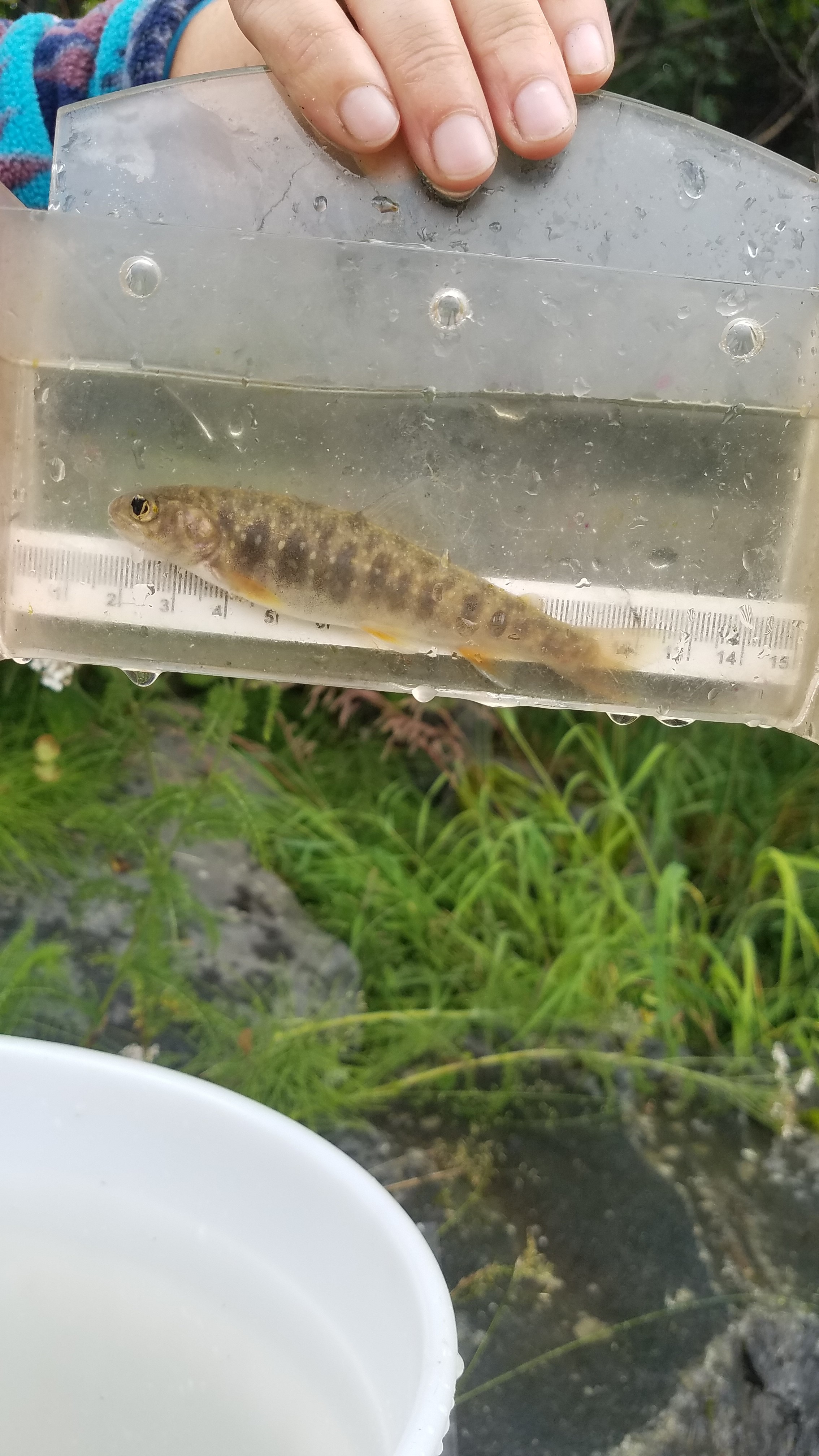
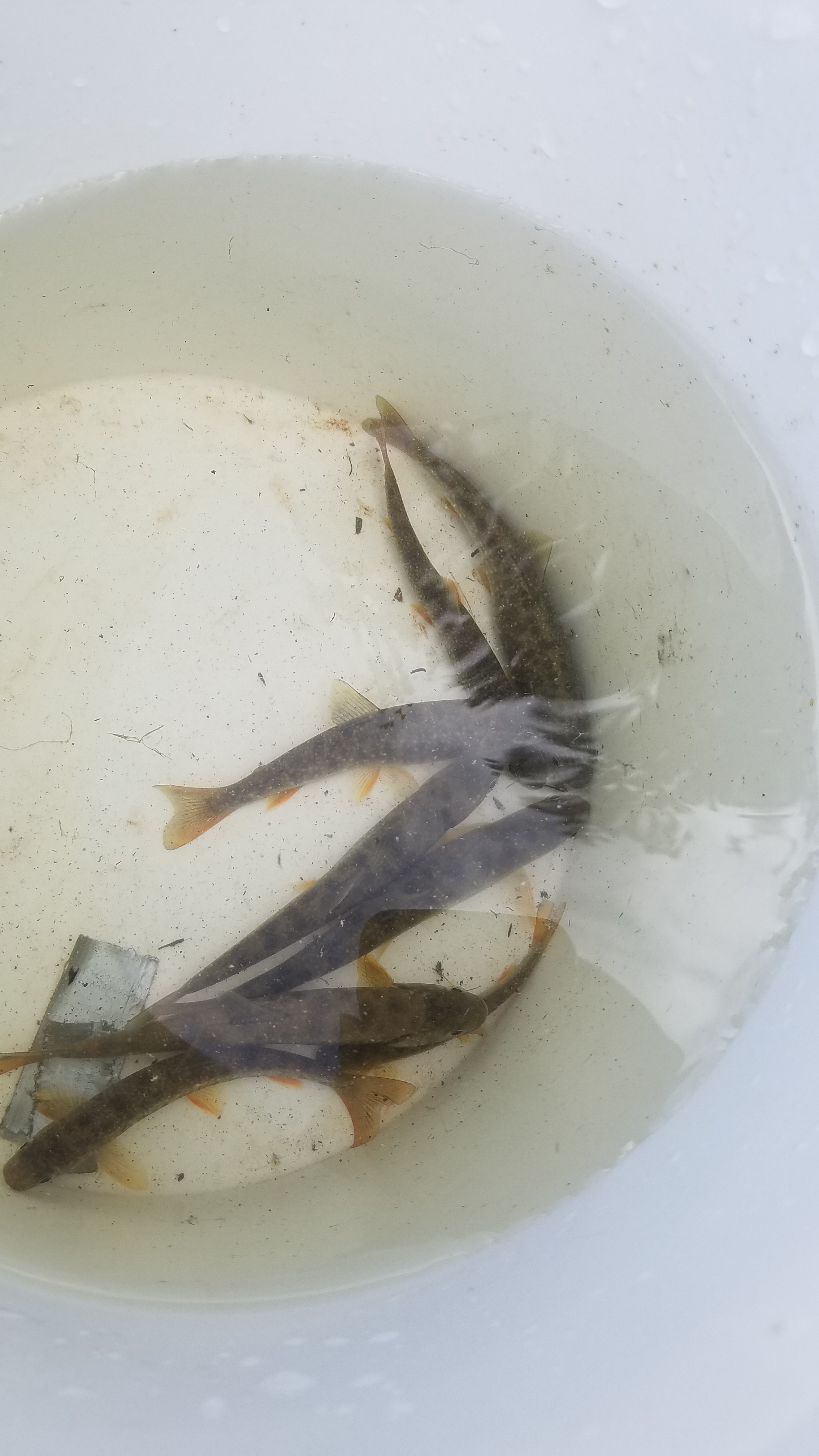
Fish Observations
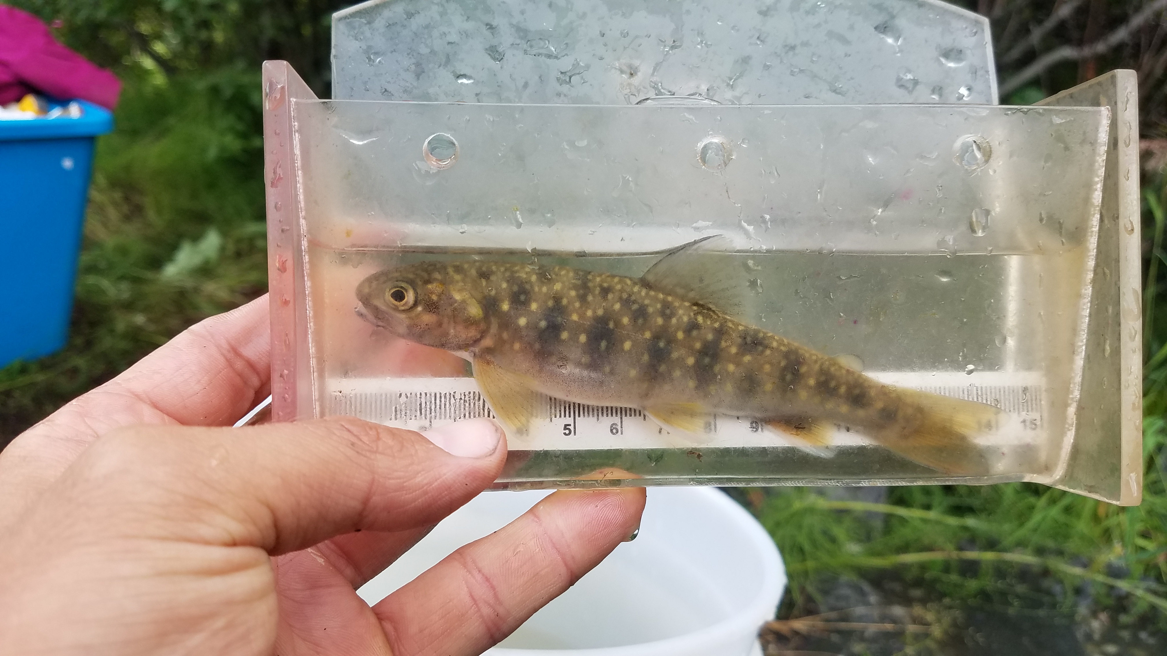
| Species: juvenile/adult Dolly Varden | Life History: Unknown | ||
| Total Fish Observed: 14 | Fish Measured: 14 | Fork Lengths (mm) Min: 70 Max: 138 Mean: 104 | |
| Collected/Observed by Gear Type: Downstream Minnow Trap (6) Upstream Minnow Trap (8) | |||
Photos

Questions or comments about this report can be directed to dfg.dsf.webmaster@alaska.gov