Fish Passage Site 20300761
Coordinates (dec. deg.): 60.96701°, -149.44284°
Legal Description: S010N001W10
Region: South Central
Road Name: Seward Highway
Datum: NAD83
Quad Name / ITM: Seward D-7
AWC Stream #:
Stream Name:
Elevation:
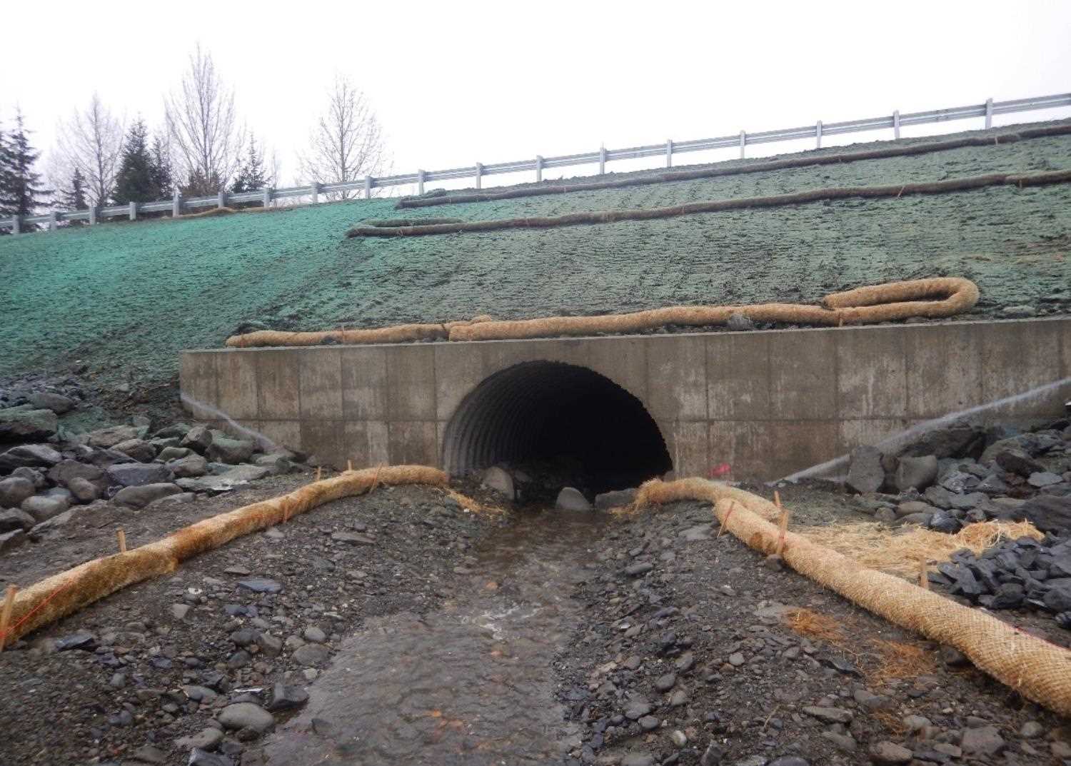
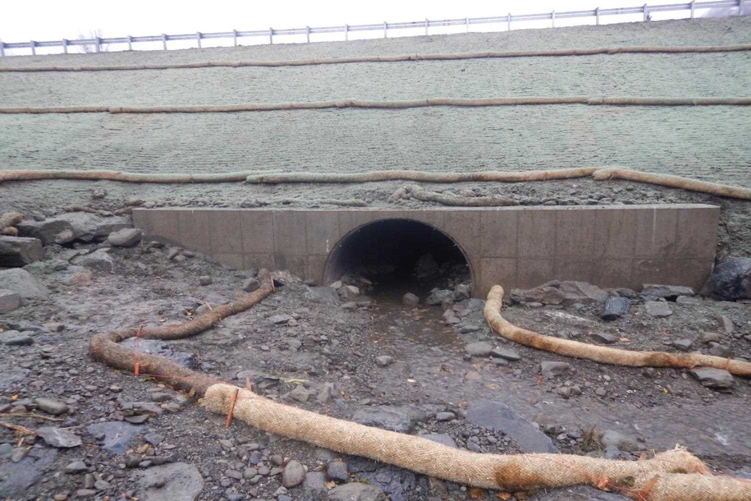
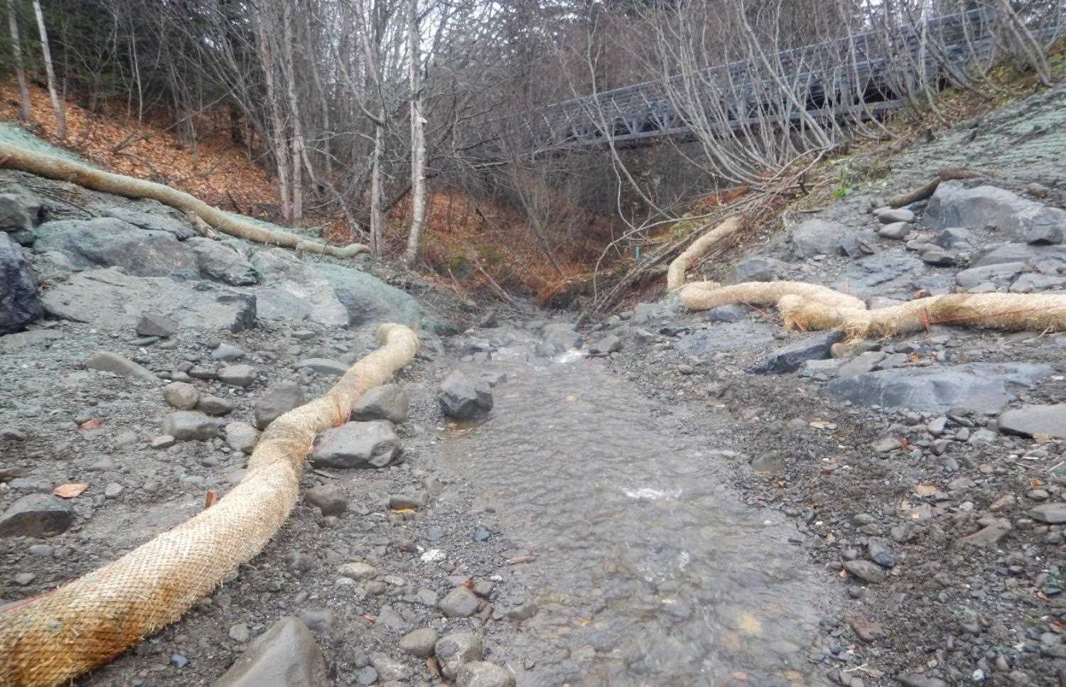
Site Comments: UNAMED WATERSHED ADJACENT TO SEWARD HIGHWAY
arrow to the right of the survey date below to choose a different report for this site.
Survey UPD20-SWH20
Project Supervisor: Gillian O'Doherty, Alaska Department of Fish and Game
— Anchorage, AK
Observers: Kim Clark, Kim Clark
Overall Fish Passage Rating:
Tidal:
Backwatered:
Step Pools:
Construction Year:
Comments: Information submitted by Will Frost (ADFG).
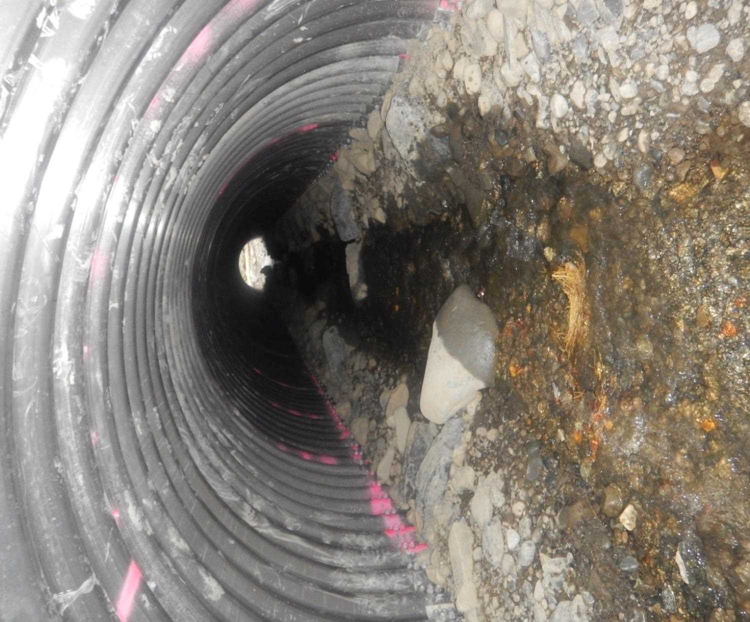
Culvert Measurements
| ID: 1 | Structure Type: Circular pipe (Corrugated aluminum) | Fish Passage Rating: | |||||||||||||||||||||||||||||||||||||||||
|
|
|
|||||||||||||||||||||||||||||||||||||||||
Comments: Dimensions are estimates are from FH 19-II-0089. H 108" x W 108" x 128. |
|||||||||||||||||||||||||||||||||||||||||||
Stream Measurements
|
|
No stream width data available.
Elevations
No elevation data available.
Fish Sampling Efforts
No fish sampling occurred during this survey.
Fish Observations
No fish observations occurred during this survey.
Photos

Questions or comments about this report can be directed to dfg.dsf.webmaster@alaska.gov