Fish Passage Site 20300461
Coordinates (dec. deg.): 60.96071°, -149.11125°
Legal Description: S010N002E16
Region: South Central
Road Name: Olymipic Mountain Loop
Datum: NAD83
Quad Name / ITM: Seward D-6
AWC Stream #:
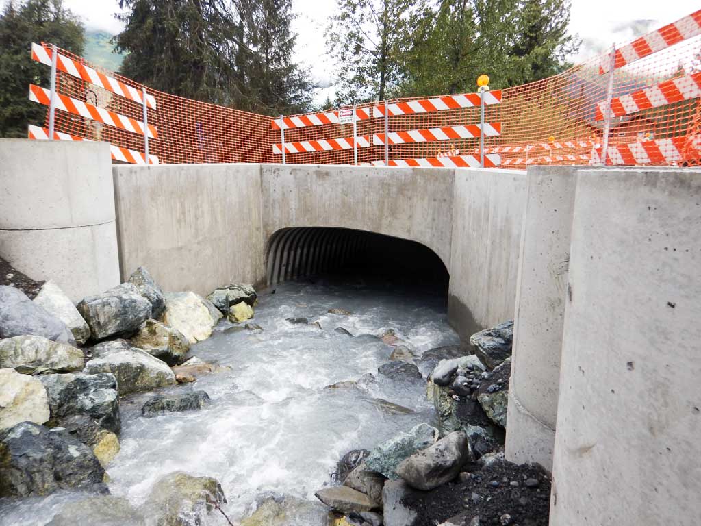
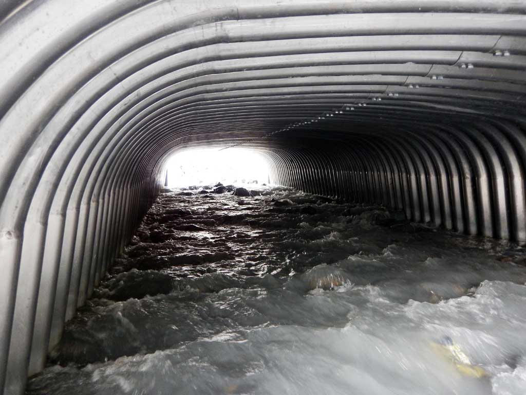
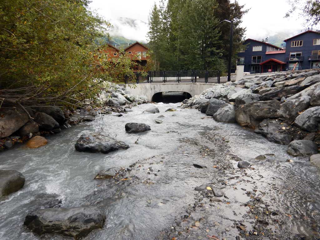
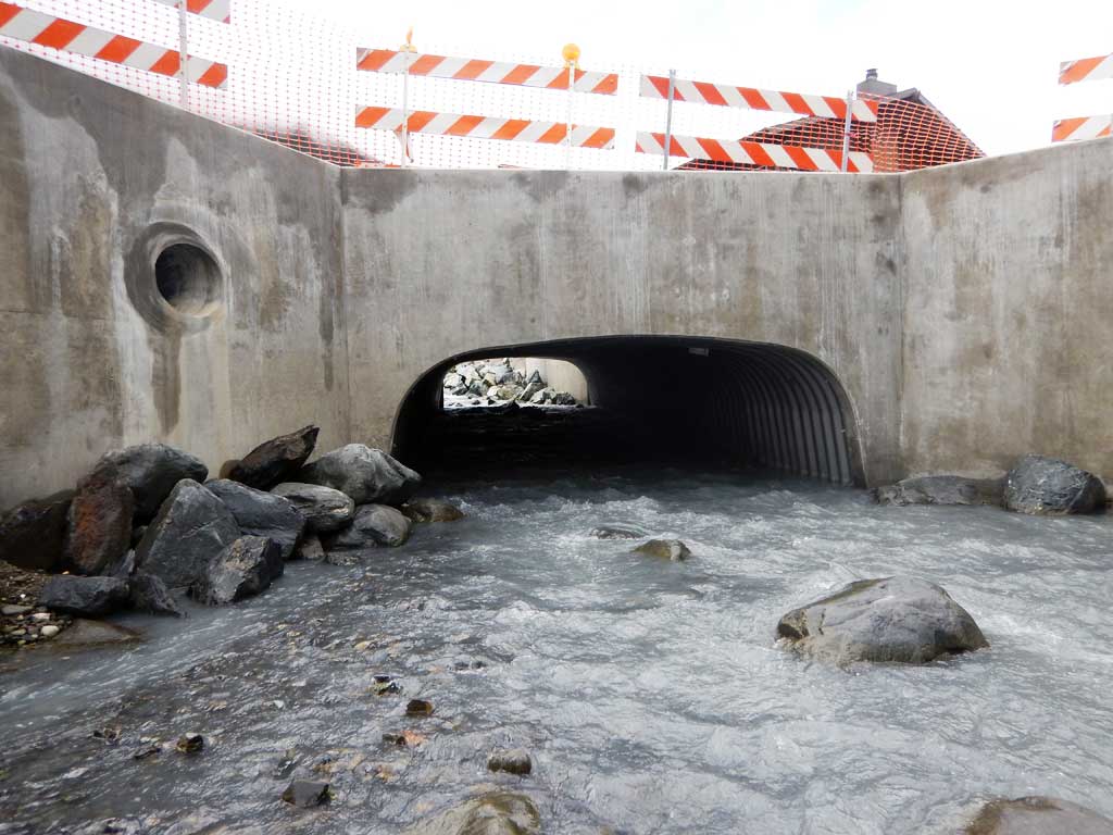
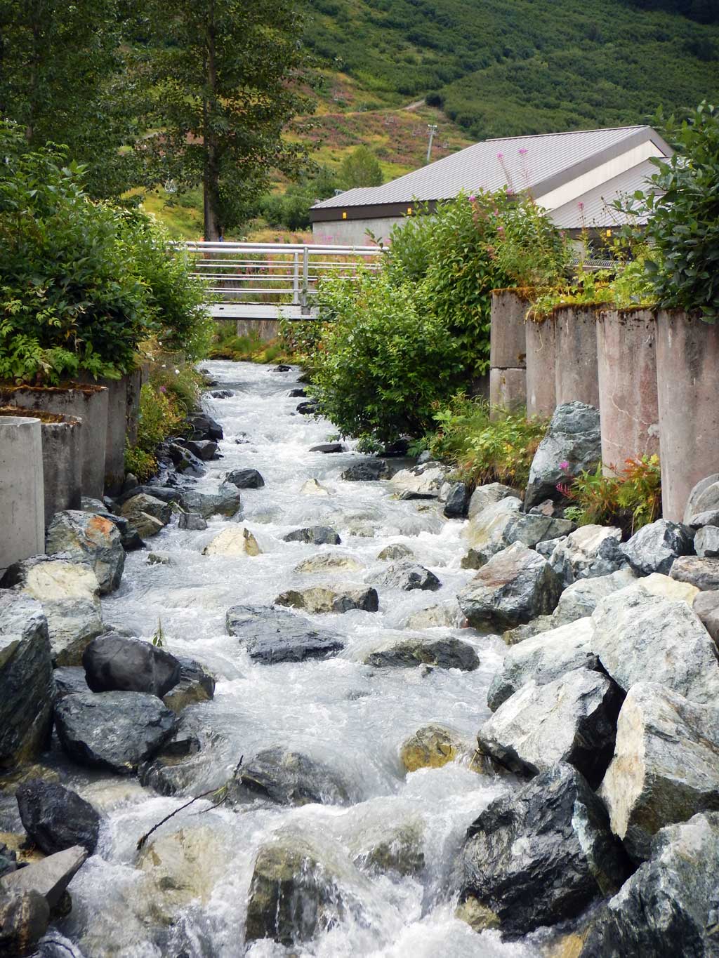
Stream Name: Alyeska Creek
Elevation:
Site Comments: GLACIER CREEK WATERSHED
arrow to the right of the survey date below to choose a different report for this site.
Survey UPDATE-0461
Project Supervisor: Gillian O'Doherty, ADFG
Observers: William Frost
Overall Fish Passage Rating:
Tidal: No
Backwatered: No
Step Pools: No
Construction Year: 2016
Comments: Site has been replaced, but not yet resurveyed.
Culvert Measurements
| ID: 1 | Structure Type: Open-bottom arch (Structural aluminum plate) | Fish Passage Rating: | |||||||||||||||||||||||||||||||||||||||||
|
|
|
|||||||||||||||||||||||||||||||||||||||||
Comments: All measurments taken from site plans and have not been verified. Culvert width 13.8 ft. Culvert Height 5.5 ft. Culvert gradient 4.96%. |
|||||||||||||||||||||||||||||||||||||||||||
Stream Measurements
|
|
No stream width data available.
Elevations
No elevation data available.
Fish Sampling Efforts
No fish sampling occurred during this survey.
Fish Observations
No fish observations occurred during this survey.
Photos
Questions or comments about this report can be directed to dfg.dsf.webmaster@alaska.gov